The best MTB trails in Corredor Ecológico Del Río Tinto
4.4
(98)
1,634
riders
17
rides
Mountain biking in Corredor Ecológico Del Río Tinto offers routes through a landscape shaped by the distinctive reddish-orange waters of the Río Tinto, a result of centuries of mining activity. The region features diverse ecosystems, including riparian forests, Mediterranean meadows, and pine forests, providing varied terrain for riders. Many routes utilize former mining railways, now converted into Vías Verdes, offering motor-vehicle-free paths. This area combines unique natural features with a rich mining heritage, making it suitable for exploring on two…
Last updated: July 11, 2026
3
riders
30.4km
03:03
680m
680m
Moderate mountain bike ride. Good fitness required. Advanced riding skills necessary.
25
riders
69.2km
06:56
1,540m
1,540m
Hard mountain bike ride. Very good fitness required. Suitable for all skill levels.

Sign up for free
17
riders
55.7km
04:33
540m
540m
Moderate mountain bike ride. Good fitness required. Suitable for all skill levels.
12
riders
51.2km
05:12
1,120m
1,120m
Hard mountain bike ride. Very good fitness required. Suitable for all skill levels.
12
riders
41.7km
04:12
930m
930m
Hard mountain bike ride. Very good fitness required. Suitable for all skill levels.
Get access to more routes and recommendations from other explorers.
Sign up for free
Already have an account?
Our route recommendations are based on thousands of hikes, rides, and runs completed by other people on komoot.
Start today with a free account
Your next adventure awaits.
Login or Signup
Tips from the Community

Origin: Built during the Almohad period (12th-13th centuries), as part of Niebla's defensive system. Legend of the name: During the siege by Alfonso X the Wise (1262), the last Muslim king of Niebla, Aben-Mafot, sent a fattened ox out through this gate to create the illusion of abundant provisions and discourage the Christian troops. The stratagem failed, and the city was conquered.
1
0
The Puerta del Buey (Ox Gate) is one of the most emblematic entrances to the walled town of Niebla (Huelva), with great historical and architectural value. It is located on Avenida Puerta del Buey, next to the Tinto River, and forms part of the Almohad wall that surrounds the town.
1
0

Puerta del Buey is considered the most beautiful of the city gates
0
1
The current appearance of the castillo dates back to the 15th century. Inside is the weapons yard. Steps and stairs lead up to the fortress walls. From here you can enjoy a beautiful panoramic view (apart from the ugly cement factory) of the town, the surrounding area and the Río Tinto.
1
0

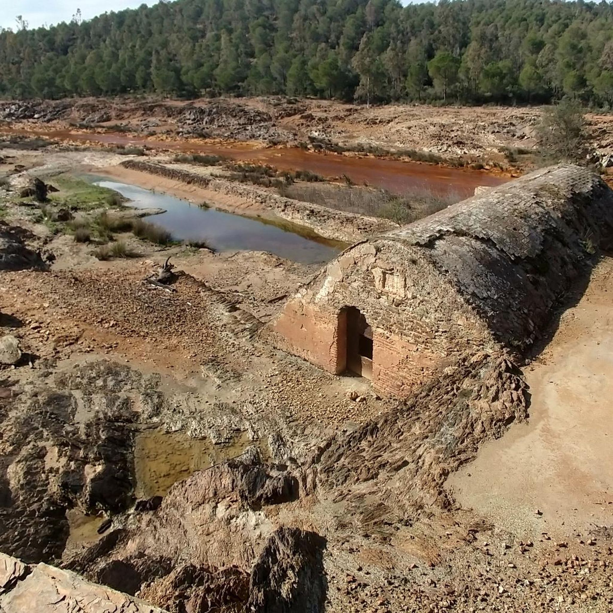
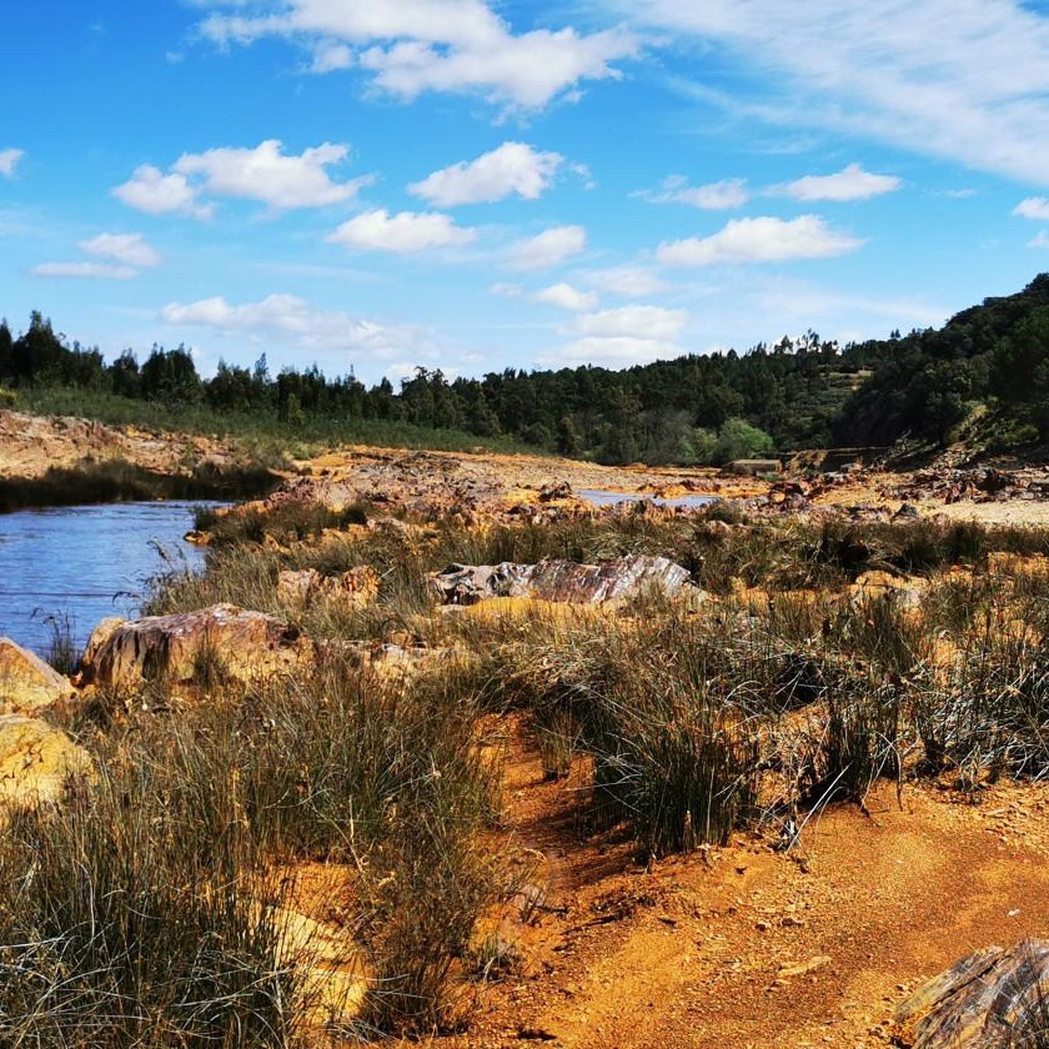
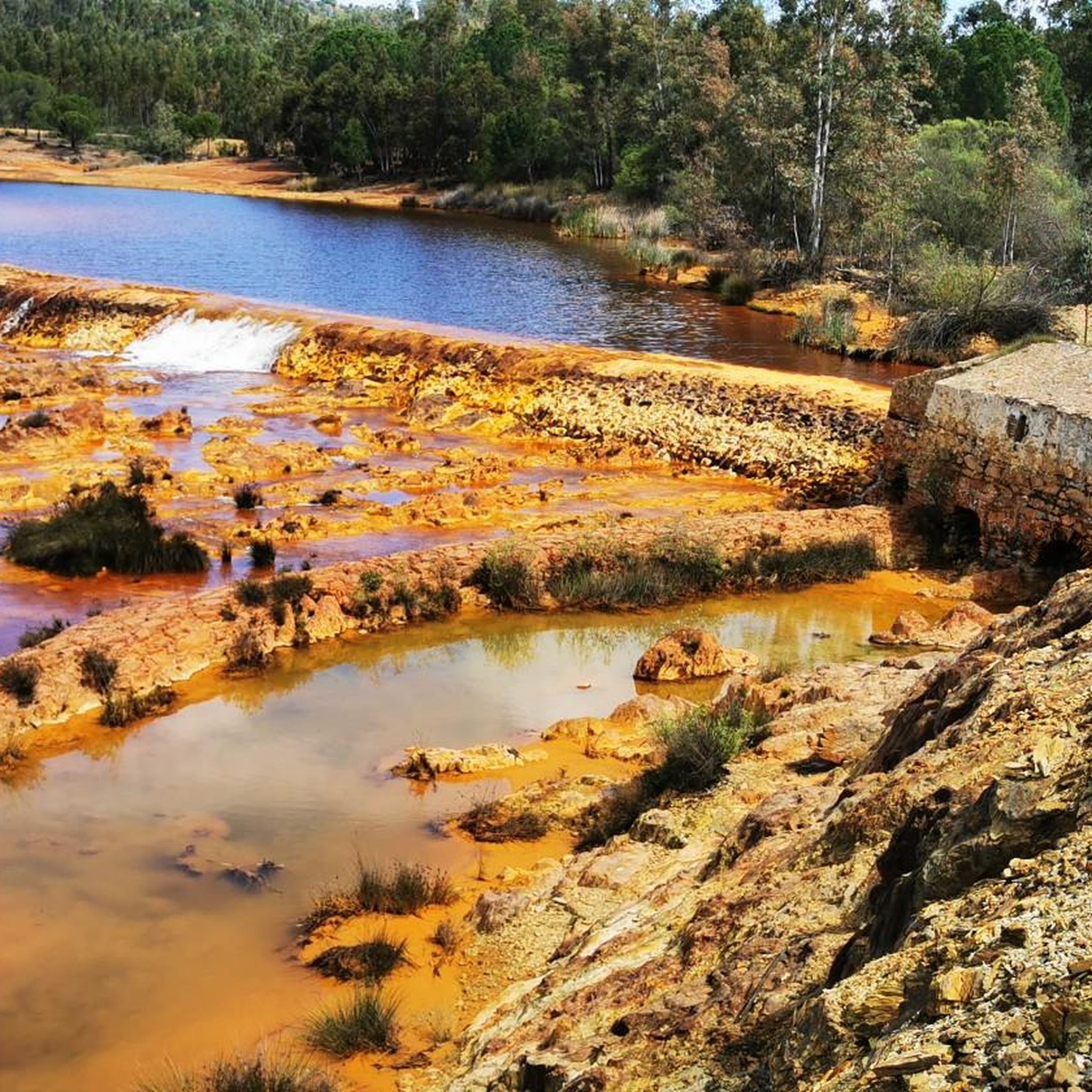
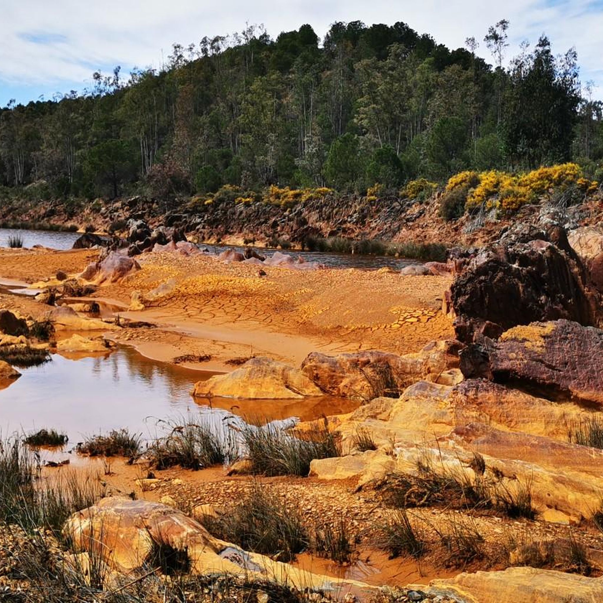
Impressive images from the river.
2
0

Obligatory stopping point if you take the road. There are incredible views even of the Rio Tinto mining railway.
0
0

Religious sanctuary of the town of Berrocal. Said congregation was divided into two buildings that represented two sides, the one above and the one below. That is why we still find the Hermitage of the Brotherhood of the Santa Cruz de Abajo and the one above.
1
1

Bridge that crosses the Río Tinto in its red colors and unusual waters with these dyes. The pedestrian-only bridge crosses both sides of the river.
0
1
Frequently Asked Questions
How many mountain bike trails are available in Corredor Ecológico Del Río Tinto?
There are over 18 mountain bike trails in Corredor Ecológico Del Río Tinto, offering a variety of experiences for riders. These routes are well-regarded by the komoot community, with an average rating of 4.3 stars from over 95 reviews.
What is the general difficulty level of mountain bike trails in Corredor Ecológico Del Río Tinto?
The trails in Corredor Ecológico Del Río Tinto cater to various skill levels. You'll find 1 easy route, 12 moderate routes, and 5 difficult routes, ensuring options for both casual riders and experienced mountain bikers.
Are there any challenging mountain bike routes for experienced riders?
Yes, for experienced riders seeking a challenge, there are 5 difficult routes available. One such route is the Cachán Bridge – El Berrocal Viewpoint loop from Cabezadas del Sandino, which spans 43.0 miles (69.2 km) with significant elevation changes, often taking nearly 7 hours to complete.
What unique natural features can I expect to see while mountain biking in Corredor Ecológico Del Río Tinto?
The region is renowned for the extraordinarily unique and almost 'extraterrestrial' landscape shaped by the Río Tinto. Its waters are famously acidic and stained a distinctive reddish-orange by ferruginous salts, creating vibrant, otherworldly scenery. You'll also encounter diverse ecosystems including riparian forests, Mediterranean meadows, evergreen oak species, and pine forests.
Are there any historical or cultural points of interest along the mountain bike trails?
Absolutely. The Corredor Ecológico Del Río Tinto is rich in mining heritage. Many routes utilize former mining railways, now converted into Vías Verdes. You can explore sites like the Cachán Bridge, the Gadea Bridge, and the Touristic Railway for Rio Tinto Mines, which offer insights into 5,000 years of mining history.
Which trails offer the best viewpoints of the region?
Many routes in the region provide excellent opportunities to witness the dramatic scenery and unique ocher tones of the landscape. The Cachán Bridge – El Berrocal Viewpoint loop from Cabezadas del Sandino, for instance, is specifically named for its viewpoint, offering expansive vistas of the area's mining heritage and natural beauty.
Are there family-friendly mountain bike trails in Corredor Ecológico Del Río Tinto?
Yes, the region's Vías Verdes (Greenways), which are developed along old mining railway routes, are ideal for family-friendly cycling. These multimodal paths are free from motor vehicles, providing a safe and enjoyable environment for riders of all ages. Look for routes categorized as 'easy' for the most suitable options.
Can I find circular mountain bike routes in the area?
Yes, many of the mountain bike trails in Corredor Ecológico Del Río Tinto are designed as circular routes, allowing you to start and finish in the same location. A popular example is Los Frailes, El Madroño, Berrocal – ruta circular, a moderate 18.9-mile (30.4 km) loop.
What do other mountain bikers enjoy most about mountain biking in Corredor Ecológico Del Río Tinto?
The area is highly rated by the komoot community, with an average score of 4.3 stars. Reviewers often praise the unique reddish river landscape, the varied forest sections, and the historical mining sites that make for a truly distinctive riding experience. The well-maintained Vías Verdes are also frequently highlighted for their accessibility and scenic beauty.
What is the best time of year to go mountain biking in Corredor Ecológico Del Río Tinto?
The Corredor Ecológico Del Río Tinto is generally pleasant for mountain biking during spring (March to May) and autumn (September to November) when temperatures are milder. Summers can be very hot, and while winters are mild, occasional rain might affect trail conditions. Always check local weather forecasts before heading out.
Are there any long-distance mountain bike routes for endurance riders?
For endurance riders, there are several longer routes. The Niebla – Puerta del Buey loop from Niebla-Puerta del Buey is a moderate 34.6-mile (55.7 km) path, and the Cachán Bridge – El Berrocal Viewpoint loop from Cabezadas del Sandino extends to 43.0 miles (69.2 km), offering a significant challenge.
What kind of landscapes will I encounter on the trails?
You'll encounter a diverse range of landscapes, from the striking reddish-orange banks of the Río Tinto to lush riparian forests with willows and poplars. The trails also pass through Mediterranean wetland meadows, evergreen meadows with various oak species, and pine forests, all shaped by the region's unique geology and mining history.
Most popular routes in Corredor Ecológico Del Río Tinto
Most popular attractions in Corredor Ecológico Del Río Tinto

Get inspired with the komoot mobile app


Explore more
Browse the best MTB trails in other regions.
