The best cycling routes in Alto Guadalquivir
5.0
(20)
389
riders
26
rides
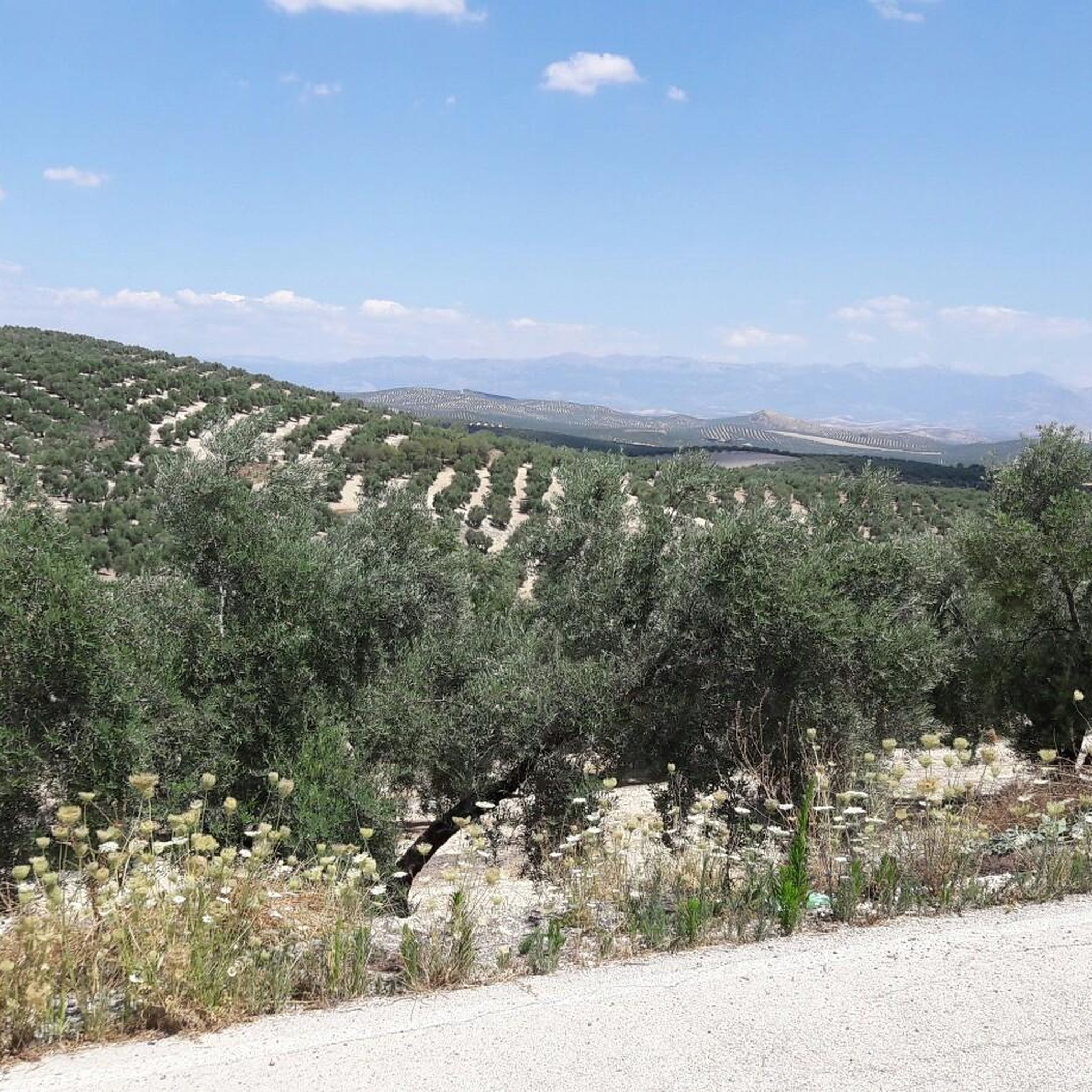
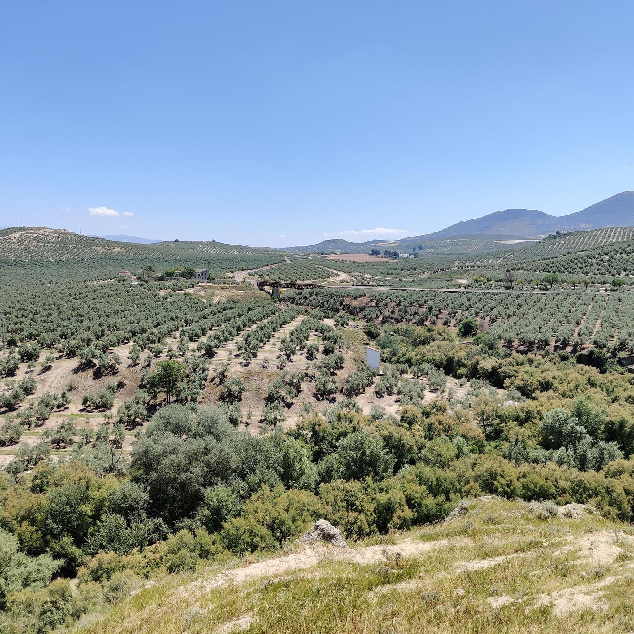
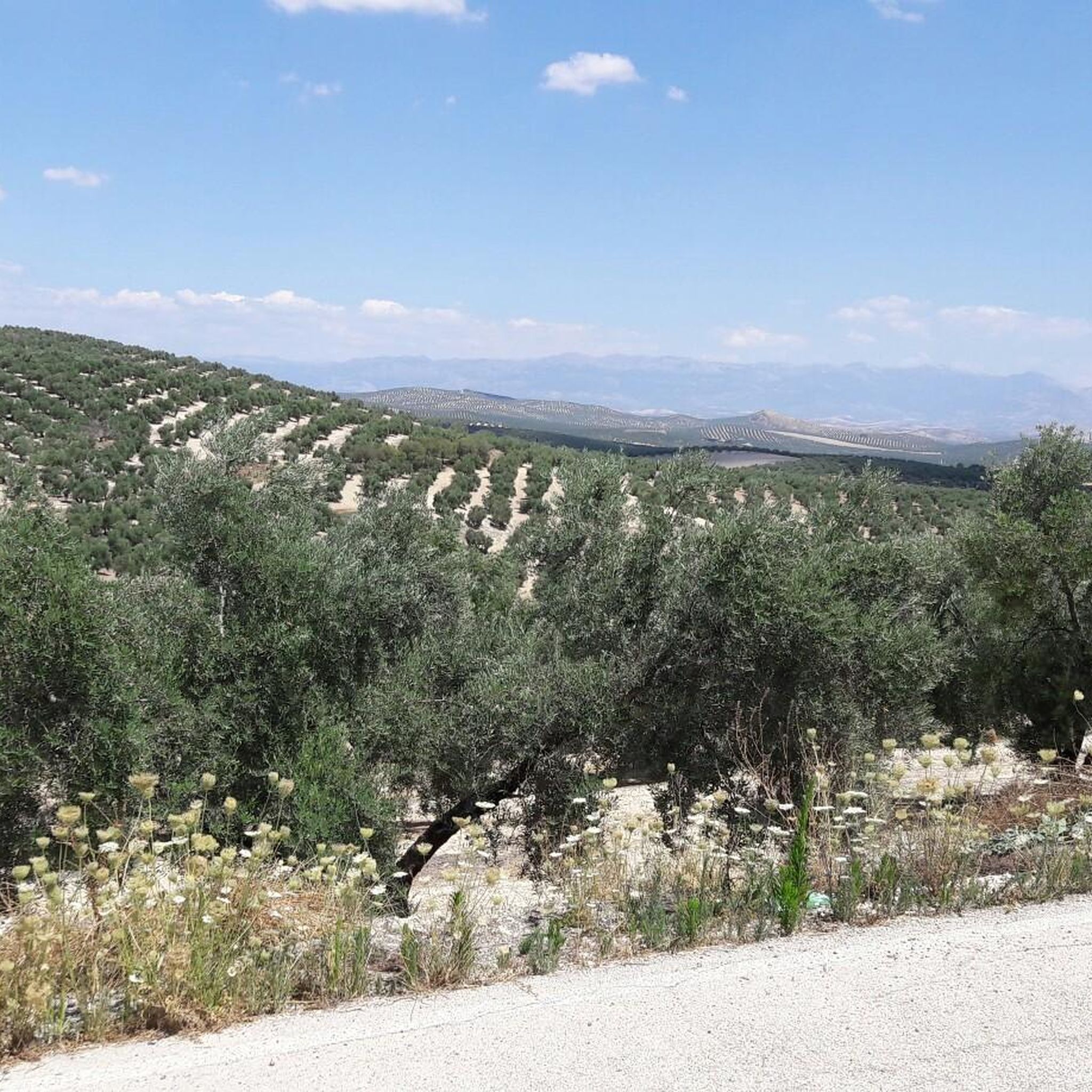
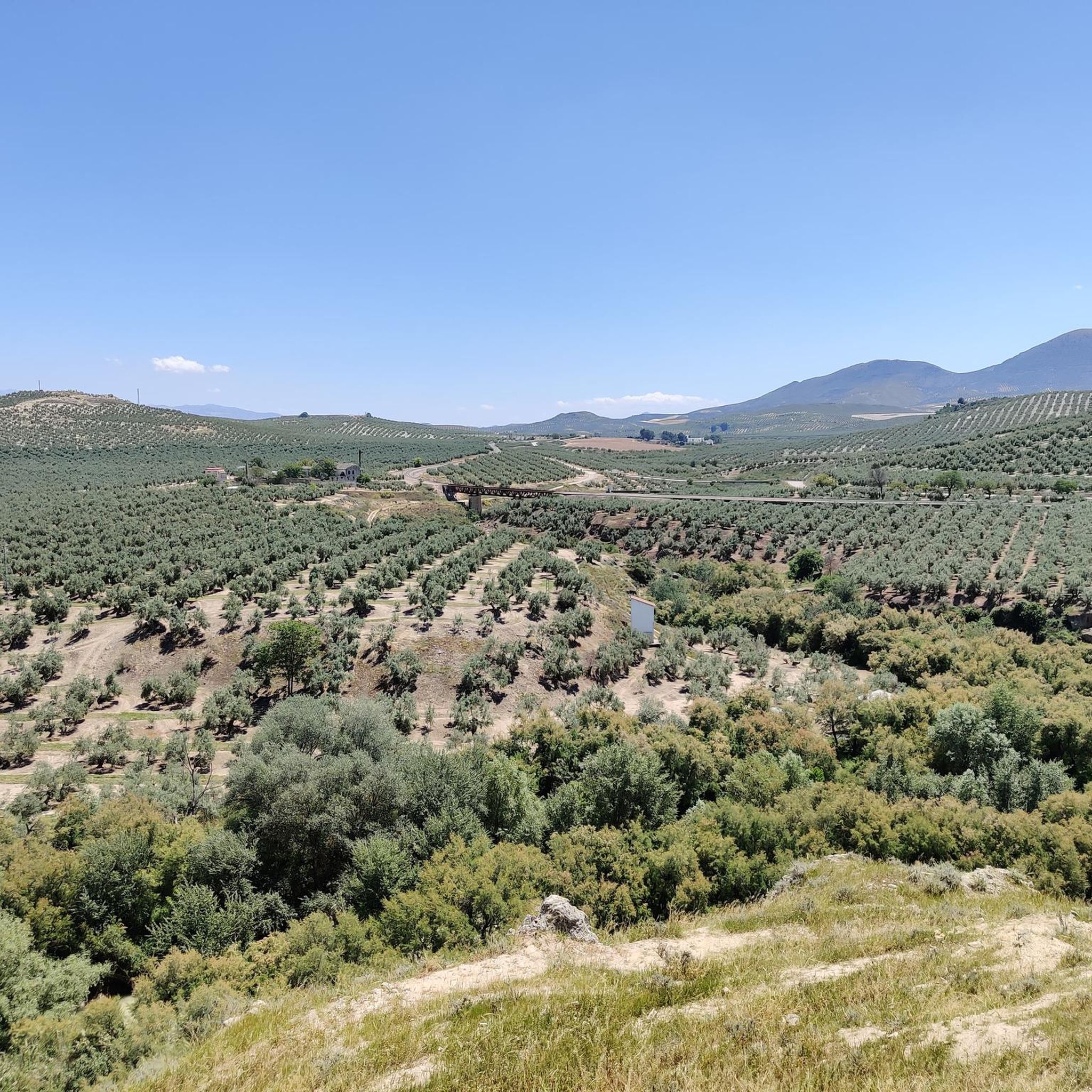
Touring cycling routes in Alto Guadalquivir traverse a diverse landscape, characterized by the fertile plains of the Guadalquivir River, the rolling hills of agricultural land, and the rugged Sierra Morena foothills. This region offers varied terrain, from relatively flat paths along the river to more challenging ascents in the northern mountainous areas. Cyclists can explore expansive olive groves, wheat fields, and natural reserves, providing a range of scenic backdrops for rides.
Best touring cycling routes in Alto Guadalquivir
- The most…
Last updated: July 5, 2026
20.7km
01:35
130m
130m
Easy 12.9-mile touring cycling route along the Guadalquivir River in Parque Natural de las Sierras de Cazorla, Segura y Las Villas.
34
riders
85.0km
06:46
1,790m
1,790m
Hard bike ride. Very good fitness required. Mostly paved surfaces. Suitable for all skill levels.

Sign up for free
11
riders
36.3km
02:27
610m
610m
Hard bike ride. Very good fitness required. Mostly paved surfaces. Suitable for all skill levels.
9
riders
48.7km
03:33
1,090m
1,090m
Hard bike ride. Very good fitness required. Mostly paved surfaces. Suitable for all skill levels.
6
riders
22.0km
02:04
370m
370m
Moderate bike ride. Good fitness required. Mostly paved surfaces. Suitable for all skill levels.
Get access to more routes and recommendations from other explorers.
Sign up for free
Already have an account?
Our route recommendations are based on thousands of hikes, rides, and runs completed by other people on komoot.
Start today with a free account
Your next adventure awaits.
Login or Signup

Tips from the Community

El Refugio del Collado Zamora (often associated with the route to Gilillo) is a rehabilitated forest refuge located in the Sierra de Cazorla, key to the GR-247 trail. It is frequently used as a starting point or stopover to ascend to Gilillo or connect to areas such as Cuerda del Gilillo.
0
0

Cazorla is a gateway to the vast Sierras de Cazorla, Segura y Las Villas Natural Park, renowned for its natural beauty, rich biodiversity and the Guadalquivir River which rises there
15
0


The Iglesia de San Pedro y San Pablo in Quesada has a rich history dating back to the 14th century. The church was built on the site of an old Visigothic church that was later converted into a mosque under the Moors. After the definitive reconquest of Quesada by the Christians on 29 June 1310, the church was given its current name in honour of the apostles San Pedro and San Pablo. The church is built in the neoclassical style and has a plan in the form of a Latin cross. The interior consists of three naves, of which the central nave is higher. The cross arch of the transept is an oval dome, and there is a high choir at the bottom. The church also has a tower with four sections, of which the first two are made of masonry and the last two of tombstones. Interior: The interior of the church is richly decorated with baroque elements and neoclassical details. The wooden cross arches and the famous wall decorations are beautifully preserved. Exterior: The exterior of the church is less striking, but the 18th century bronze-hinged entrance gate is a highlight.
8
0
The Restos de Columnas in Quesada refer to the ruins of an ancient Roman temple found in the city. These ruins are located around the Plaza de la Lonja and the Iglesia de San Pedro y San Pablo. The area is known for its rich archaeological finds and offers a glimpse into the Roman history of the region.
10
0
The Arco de la Mantita de Utrera is a historical monument in Quesada, Jaén. This arch is one of the gateways to the old fortified city of Quesada. It is an important symbol of the city and offers a glimpse into its rich history. The arch dates back to the 14th century and is built in the Gothic style. It was originally a gateway to the city walls. The arch is named after a statue of the Virgen de la Consolación de Utrera, which was originally placed in the arch. The name "Mantita de Utrera" comes from a woman from Utrera who placed a statue of the saint in the arch. The arch is built in the Gothic style, with a pointed arch and decorative elements such as modillions.
2
0
The Arco de los Santos in Quesada is an impressive historical monument. This Gothic arch dates back to the 14th century and is located in one of the gates of the old fortified area of Quesada. It is an important symbol of the city and offers a glimpse into its rich history. The Arco de los Santos is built in the Gothic style, with a pointed arch with dovels, salmeres and iambs of stone. The arch is located on Calle Arcos and gives access to Calle Arco de los Santos. It is one of the historic gateways to the city. Inside the arch is an altar dedicated to the sacerdotisa Caia Rufina.
1
0
A town located in the southeast of the province, at the foot of the Sierra de Cazorla and facing the olive-growing countryside. Birthplace of the painter Rafael Zabaleta, to whom he has dedicated a museum with a large part of his work. It is a colorful collection of narrow streets with white houses in which the church of San Pedro and San Pablo, the church of the hospital, the Arco de la Manquita de Utrera and the Arco de Los Santos or del Señor stand out.
11
0
Frequently Asked Questions
What kind of terrain can I expect on touring cycling routes in Alto Guadalquivir?
Alto Guadalquivir offers a diverse range of terrain. You'll find relatively flat paths along the fertile plains of the Guadalquivir River, ideal for relaxed rides. Further north, the Sierra Morena foothills provide more challenging routes with significant elevation changes, while the agricultural heartland features rolling hills through olive groves and wheat fields.
Are there touring cycling routes suitable for beginners or those looking for an easy ride?
Yes, there are options for all skill levels. For an easy and relaxed ride, consider the Pasillo de Vida Trail. This route covers 12.9 miles (20.7 km) through the river plains and is generally completed in about 1 hour 35 minutes, offering a gentle introduction to touring cycling in the region.
What are some of the more challenging touring cycling routes in Alto Guadalquivir?
For experienced touring cyclists seeking a challenge, Alto Guadalquivir offers several difficult routes. The Cazorla – Cazorla loop from Peal de Becerro is a difficult 22.5 miles (36.3 km) path with substantial elevation changes. Another demanding option is the Drinking water – Puerto de Tíscar loop from Peal de Becerro, a 30.3 miles (48.7 km) trail leading through mountainous terrain with panoramic views.
What do other touring cyclists say about the routes in Alto Guadalquivir?
The touring cycling routes in Alto Guadalquivir are highly rated by the komoot community, with an average score of 5.0 stars from over 20 reviews. Cyclists often praise the varied landscapes, from the peaceful river plains to the scenic mountain views, and the opportunity to explore charming local villages.
Are there any circular touring cycling routes in the region?
Yes, many routes in Alto Guadalquivir are designed as loops, allowing you to start and end in the same location. Examples include the challenging Cazorla – Cazorla loop from Peal de Becerro and the moderate Torre Mocha of Peal de Becerro – Chapel loop from Peal de Becerro, which offers a 22.0 km ride.
What natural features or landmarks can I expect to see along the touring cycling routes?
Cycling in Alto Guadalquivir allows you to experience diverse natural beauty. You'll ride alongside the fertile Guadalquivir River, through expansive olive groves and wheat fields, and into the foothills of the Sierra Morena. The region also includes the Alto Guadalquivir Natural Reserve, a significant wetland area known for its biodiversity and birdwatching opportunities.
Can I visit any towns or historical sites while touring cycling in Alto Guadalquivir?
Absolutely. The region is dotted with charming municipalities, each with its own character and historical points of interest. You can cycle through towns like Bujalance, known for its Muslim fortress, or El Carpio, situated on the banks of the Guadalquivir River with its distinctive tower. Montoro and Cañete de las Torres also offer cultural stops.
What is the best time of year for touring cycling in Alto Guadalquivir?
The diverse climate of Andalusia means spring (March to May) and autumn (September to November) are generally the most pleasant seasons for touring cycling in Alto Guadalquivir. During these periods, temperatures are milder, making for more comfortable rides. Summers can be very hot, especially in the river plains, while winters are generally mild but can have cooler, wetter days.
Are there any moderate difficulty touring cycling routes available?
Yes, for those looking for a balance between easy and difficult, there are moderate options. The Torre Mocha of Peal de Becerro – Chapel loop from Peal de Becerro is a moderate 22.0 km route that takes approximately 2 hours 3 minutes to complete, offering a good workout without being overly strenuous.
Are there routes that offer scenic viewpoints in Alto Guadalquivir?
Many routes, particularly those in the Sierra Morena foothills, offer excellent panoramic views. For example, the difficult Viewpoint – Quesada loop from Peal de Becerro is a 40.5 km route designed to take you through areas with impressive vistas of the surrounding landscapes.
What kind of agricultural landscapes will I see while cycling in Alto Guadalquivir?
The agricultural heartland of Alto Guadalquivir is characterized by vast olive groves, which are a defining feature of the region's landscape and economy. You'll also encounter extensive wheat fields and, depending on the season, vibrant sunflower fields, particularly around municipalities like Bujalance and Cañete de las Torres.
Most popular routes in Alto Guadalquivir

Get inspired with the komoot mobile app


Explore more
Browse the best Cycling routes in other regions.
