The best MTB trails around Río Guadiana Y Ribera De Chanza
4.3
(148)
988
riders
93
rides
Mountain biking around Río Guadiana Y Ribera De Chanza offers diverse landscapes shaped by the Guadiana River and its tributary, the Chanza River. The terrain includes open plains, dehesas, and scrubland, with the river forming a natural border with Portugal. This region provides a network of mountain bike trails that traverse varied environments, from riverside paths to more rugged inland sections.
Best mountain bike trails around Río Guadiana Y Ribera De Chanza
- The most popular mountain bike trail is Puerto…
Last updated: July 11, 2026
4.7
(6)
42
riders
Moderate mountain bike ride. Good fitness required. Advanced riding skills necessary.
4.7
(6)
37
riders
Moderate mountain bike ride. Good fitness required. Suitable for all skill levels.

Sign up for free
4.3
(3)
33
riders
22.5km
01:17
60m
50m
Easy mountain bike ride. Great for any fitness level. Suitable for all skill levels.
4.8
(4)
22
riders
29.0km
01:50
40m
40m
Easy mountain bike ride. Great for any fitness level. Suitable for all skill levels.
4.0
(1)
17
riders
Moderate mountain bike ride. Good fitness required. Suitable for all skill levels.
4.5
(4)
14
riders
Easy mountain bike ride. Great for any fitness level. Suitable for all skill levels.
15
riders
Hard mountain bike ride. Very good fitness required. Suitable for all skill levels.
15
riders
70.9km
05:19
730m
730m
Hard mountain bike ride. Very good fitness required. Suitable for all skill levels.
2.5
(2)
10
riders
Easy mountain bike ride. Great for any fitness level. Suitable for all skill levels.
5.0
(4)
9
riders
32.1km
02:18
260m
260m
Moderate mountain bike ride. Good fitness required. Suitable for all skill levels.
Get access to more routes and recommendations from other explorers.
Sign up for free
Already have an account?
Our route recommendations are based on thousands of hikes, rides, and runs completed by other people on komoot.
Start today with a free account
Your next adventure awaits.
Login or Signup
Popular around Río Guadiana Y Ribera De Chanza

Tips from the Community

End of the railway line in the eastern Algarve.
0
0

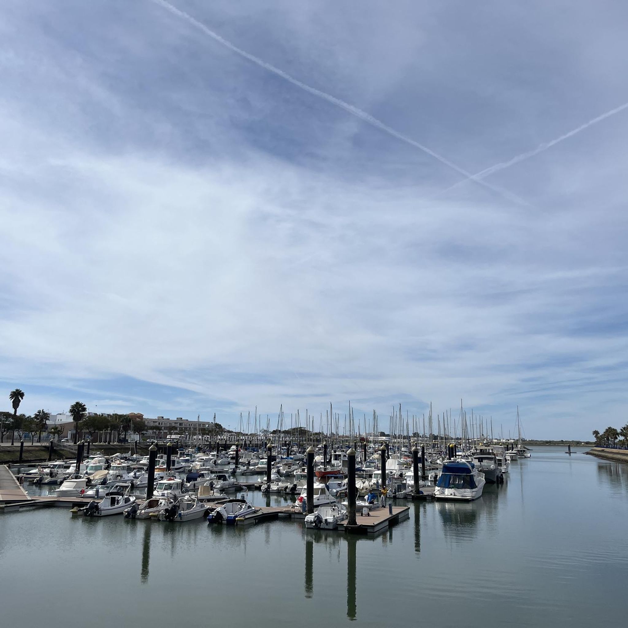
Vila Real de Santo António is located on the Gulf of Cádiz, which is part of the Atlantic Ocean, and on the right bank of the Guadiana River, whose lower reaches form the border between Portugal and Spain. The town boasts several attractions, charming restaurants, bars, and cafés! And of course, a lighthouse! 👀 A ferry ⛴️ runs hourly to the Spanish town of Ayamonte. ...
3
0
Vila Real de Santo António is located on the Gulf of Cádiz, which is part of the Atlantic Ocean, and on the right bank of the Guadiana River, whose lower reaches form the border between Portugal and Spain. The town offers several attractions, charming restaurants, bars, and cafés! A ferry ⛴️ provides convenient hourly service to the Spanish town of Ayamonte.
3
0
Vila Real de Santo António is located on the Gulf of Cádiz, which is part of the Atlantic Ocean, and on the right bank of the Guadiana River, whose lower reaches form the border between Portugal and Spain. The town is easily accessible by train! Vila Real de Santo António offers several attractions, charming restaurants, bars, and cafés! A ferry ⛴️ provides convenient hourly service to the Spanish town of Ayamonte. ...
4
0
Vila Real de Santo António is a municipality and town in the Faro District of Portugal. It lies on the Gulf of Cádiz, which is part of the Atlantic Ocean, and on the right bank of the Guadiana River, whose lower reaches form the border between Portugal and Spain. Ayamonte, in Spain, lies on the opposite bank of the Guadiana River.
4
0

The Vila Real de Santo António Lighthouse (Farol de Vila Real de Santo António) is located in the far east of the Algarve, near the Spanish border. Built in 1923, it stands 40 meters tall. Situated on the dunes near Praia de Santo António beach, the lighthouse guides ships approaching the mouth of the Guadiana River. It is a striking landmark in a flat coastal landscape and is sometimes open to the public on special days.
4
0

The castle sits atop a hill overlooking the Guadiana River. The river forms the natural border between Portugal and Spain.
1
0

In the heart of the Algarve, perched on a hill on the right bank of the Guadiana River, Castro Marim Castle holds centuries of history and battles. Although human presence in the region dates back to prehistoric times, it was here that Romans and Muslims found a strategically valuable vantage point, taking advantage of its privileged position. The imposing fortification you can visit today (for a small fee) was built in the 13th century by order of King Dinis, serving as a defensive bastion against invasions and as a watchful sentinel on the border with Spain. At the top, the reward is a breathtaking panoramic view: the town of Castro Marim at your feet, the shimmering salt flats, the bridge connecting Portugal and Spain, and, in the distance, neighboring Ayamonte.
3
0
Frequently Asked Questions
How many mountain bike trails are available in Río Guadiana y Ribera de Chanza?
There are over 90 mountain bike trails to explore in the Río Guadiana y Ribera de Chanza region, offering a wide variety of routes for different skill levels.
Are there mountain bike trails suitable for beginners or families?
Yes, the region offers 22 easy mountain bike trails perfect for beginners or families looking for a relaxed ride. An example is the Isla Canela Tower – Puerto de Ayamonte loop from Ayamonte, which is 14.0 miles (22.5 km) long and takes about 1 hour 16 minutes.
What kind of terrain can I expect on the mountain bike trails in this region?
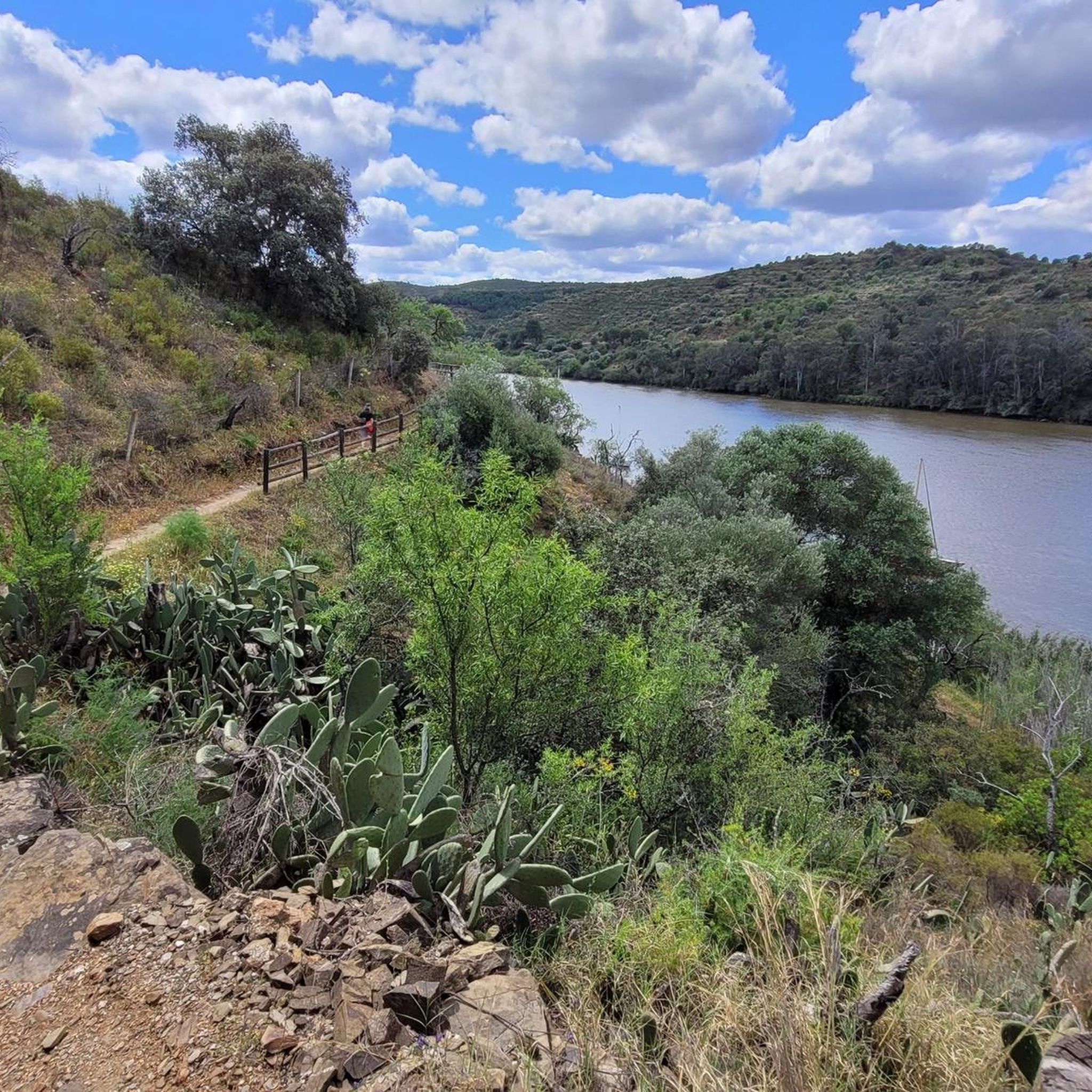
The terrain is quite diverse, shaped by the Guadiana and Chanza rivers. You'll find open plains, dehesas (wooded pastures), orchards, and more rugged scrubland. Some routes follow riverside paths, while others venture into more challenging inland sections. The Guadiana Natural Trail, for instance, offers varied terrain with stunning river views, though some segments can be demanding.
Are there any challenging mountain bike routes for experienced riders?
Absolutely. For experienced riders seeking a challenge, there are 6 difficult mountain bike trails. One such route is the Castro Marim Castle – Runner rest area loop from Vila Real de Santo António, which spans 85.9 miles (138.3 km) and features significant elevation changes.
What are some scenic highlights or viewpoints I can encounter on the trails?
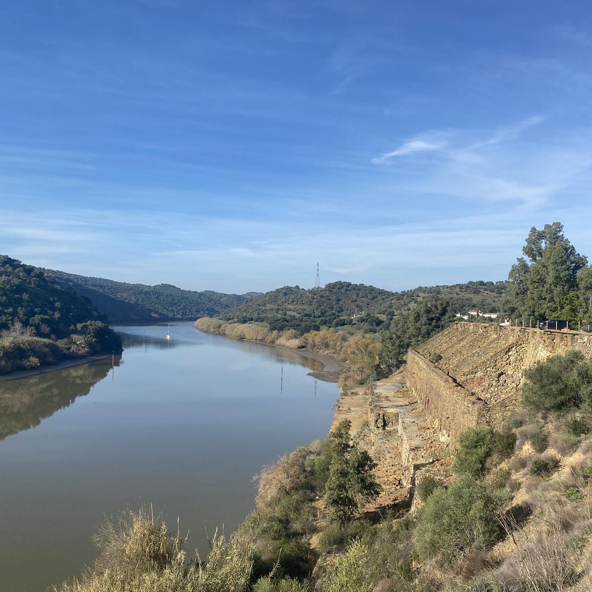
Many trails offer panoramic viewpoints along the Guadiana River, providing stunning vistas that often include the Portuguese side, such as the town of Alcoutim across from Sanlúcar de Guadiana. You can also visit the Viewpoint over the Guadiana River for exceptional views.
Can I find circular mountain bike routes in Río Guadiana y Ribera de Chanza?
Yes, many of the mountain bike routes in the region are loops. For example, the La Zaballa Picnic Area – Guadiana River loop from Vila Real de Santo António is a popular moderate circular path that explores the riverine landscape.
What do other mountain bikers say about the trails in Río Guadiana y Ribera de Chanza?
The mountain bike trails in Río Guadiana y Ribera de Chanza are highly rated by the komoot community, with an average score of 4.3 stars from over 120 reviews. Riders often praise the diverse landscapes, the scenic river views, and the variety of routes available for all skill levels.
Are there any interesting towns or cultural sites accessible by mountain bike?
Yes, trails often pass through charming towns like Sanlúcar de Guadiana, a border town with Portugal known for its natural beauty and history. You can also find landmarks like The Pasodoble of Ayamonte near some routes.
What kind of wildlife might I see while mountain biking in the region?
The region is a vital ecological corridor, especially along the Guadiana River, which is a Natura 2000 network site. You might encounter diverse fish populations, various bird species, including necrophagous birds like the black vulture near the Chanza reservoir, and a rich variety of riverside vegetation.
Are there any routes that connect to Portugal?
Yes, the Guadiana River forms a natural border with Portugal, and some routes offer glimpses of the Portuguese side. The region's trails also connect with other greenways and natural paths in both Spain and Portugal, such as the Via Verde del Guadiana and the Grande Rota do Guadiana. You can even take the Ayamonte - Vila Real de Santo António ferry to explore trails across the border.
What is a good moderate-difficulty mountain bike route to try?
A great moderate option is the Puerto de Ayamonte – Odiel Marshes loop from Vila Real de Santo António. This 26.7-mile (43.0 km) trail connects coastal areas with marshlands near the Guadiana River and typically takes about 2 hours 41 minutes to complete.
Can I find longer mountain bike tours in the area?
Yes, for longer rides, consider routes like the Puerto de Ayamonte – Guadiana River loop from Vila Real de Santo António, which is 68.3 miles (110.0 km) long and offers extensive exploration of the river landscape.
Most popular routes around Río Guadiana Y Ribera De Chanza
Most popular attractions around Río Guadiana Y Ribera De Chanza

Get inspired with the komoot mobile app


Explore more
Browse the best MTB trails in other regions.
