Top 7 Mountain Passes in Valles Occidentales
Best mountain passes in Valles Occidentales are found within the Valles Occidentales Natural Park, located in the Aragonese Pyrenees of Huesca, Spain. This region encompasses the valleys of Ansó, Hecho, and Aragüés del Puerto, characterized by towering peaks, lush forests, and glacial landscapes. The area offers notable passes and high-mountain zones, providing scenic beauty and opportunities for outdoor activities.
Best mountain passes in Valles Occidentales
- The most popular mountain passes is Achar of Aguas Tuertas, a viewpoint and mountain…
Last updated: July 10, 2026
Collado de Argibiela
Highlight • Mountain Pass
Translated by Google •
Tip by

Achar of Aguas Tuertas
Highlight • Viewpoint
Translated by Google •
Tip by

Sign up now to discover places like this
Get recommendations on the best single tracks, peaks, & plenty of other exciting outdoor places.
Sign up for free
Petrechema Pass
Highlight • Mountain Pass
Here you will have the Sobarcal peak on our right, which you can climb in …
Translated by Google •
Tip by

Petraficha Pass
Highlight • Mountain Pass
Translated by Google •
Tip by

Ascent to Lizara
Highlight (Segment) • Climb
Translated by Google •
Tip by
Sign up for free to discover even more mountain passes in Valles Occidentales.
Sign up for free
Already have an account?
Start today with a free account
Your next adventure awaits.
Login or Signup
Popular around Valles Occidentales
Classic Swallows Route in Spain – Mountains with history
Aragon along the Pyrenean Trail – GR 11
Hiking in Valles Occidentales
Running Trails in Valles Occidentales
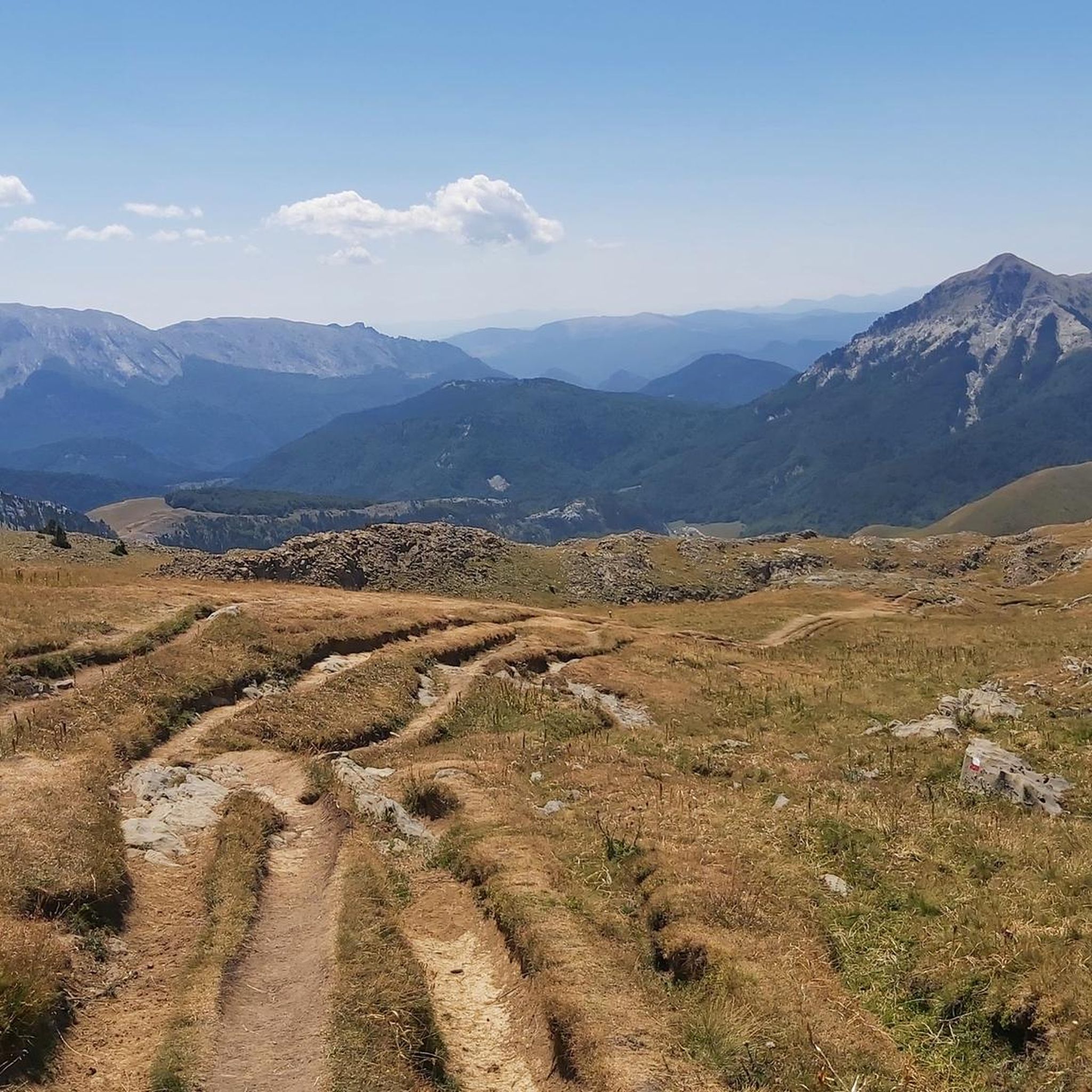
Road Cycling Routes in Valles Occidentales
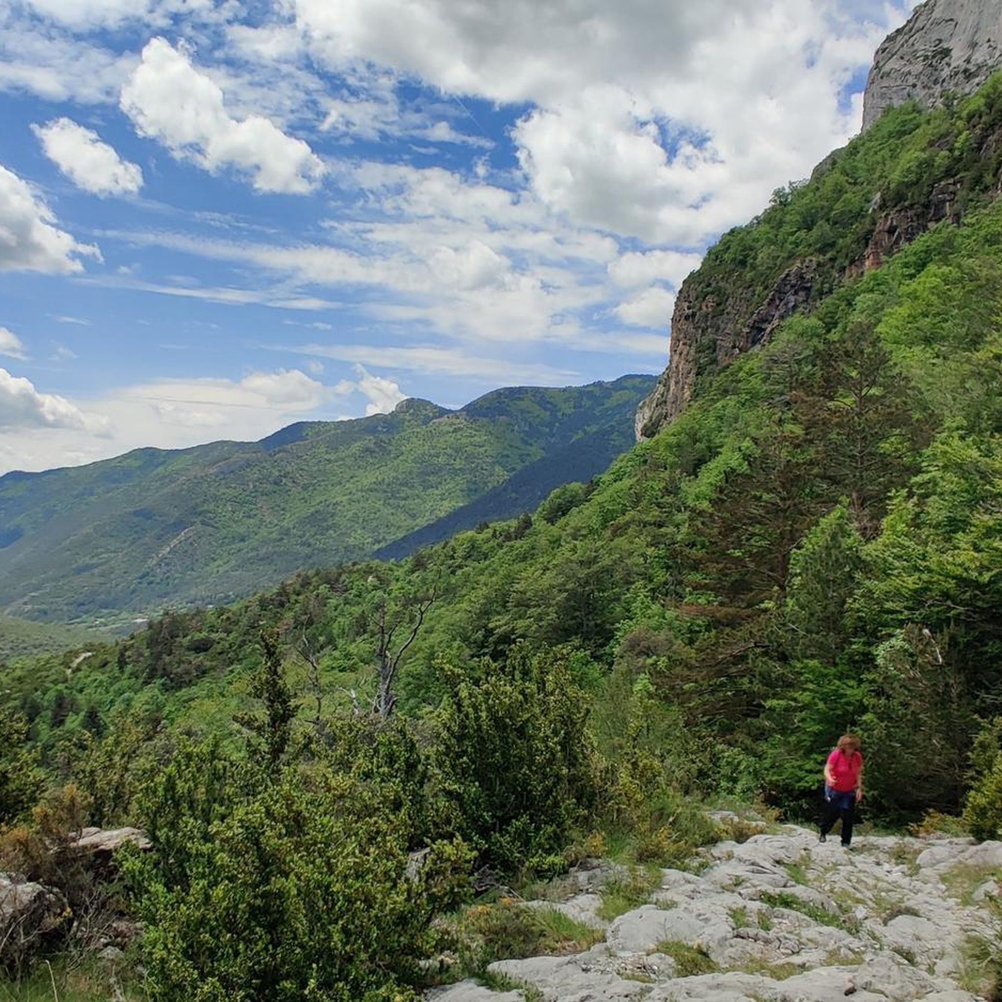
Cycling in Valles Occidentales
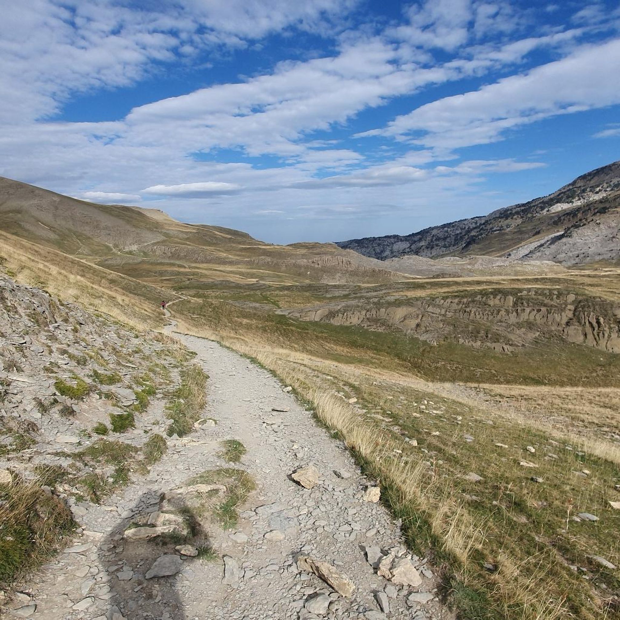
MTB Trails in Valles Occidentales

Mountain Hikes in Valles Occidentales

Gravel biking in Valles Occidentales


Tips from the Community

Good introductory hike... only about 200 meters in elevation, beautiful scenery.
0
0

A beautiful port that unites the communities of Navarra and Aragón, specifically the towns of Ansó and Isaba. Specifically, it connects the Zuriza valley with the Roncal valley. It is a very affordable port and highly recommended because it allows you to travel through spectacular landscapes, on both sides. The Navarrese slope is shorter but more difficult than the Aragonese slope, which is very steep, except for the final kilometer which is 7 - 8%. What has been said, I reaffirm that it is a beautiful port that must be enjoyed.
0
0

Very nice and varied climb from Tachera.
1
0

This pass, both from the Ansó slope and the Isaba slope, presents the cyclist with a long climb (13 and 12 kilometres, respectively). On both slopes, the hardest part is at the end, highlighting the final kilometer of the ascent from Ansó, with an 8% unevenness. It is a quiet road with magnificent views of both the valleys and the nearby peaks.
1
0

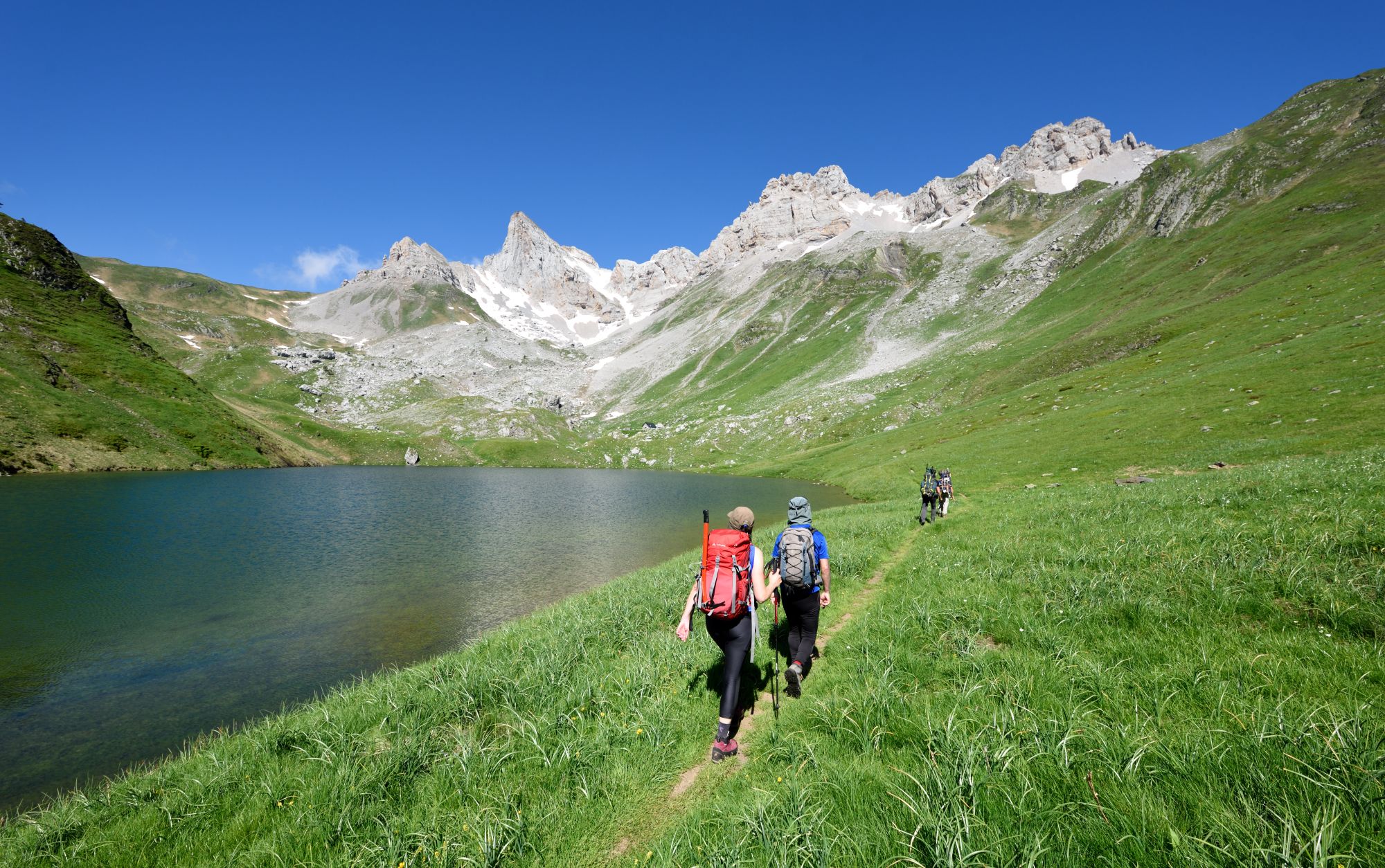
Collado de Aguas Tuertas where the free refuge of Aguas Tuertas is located and you can also enjoy spectacular views. On one side, the capricious meanders formed by the river in the Aguas Tuertas valley. On the other, the Guarrinza valley.
2
0
The Petraficha pass, at 1,964 meters above sea level, joins the Zuriza (Ansó) and Hecho valleys. To the east, you can see the rock cuts above the Oza jungle. To the west, the less rugged slopes towards Zuriza. From the pass you will enjoy spectacular views of the Acherito ravine, the Aragón Subordán valley and the Sierra de Alanos. To the north, you will see the top of Petraficha (2186 meters) and to the south Chipeta Alto (2175 meters).
1
1

The Petrechema pass is the dividing line between Aragón and the French valley of Bearn. Here you will have the Sobarcal peak on our right, which you can climb in 25 minutes, on the left the Petrechema (which you can climb, but it is better through the Linza pass), and the view of the Agujas de Ansabere, which leave you amazed. any. Two needles of 300 vertical meters.
1
0

Getting to the shelter is the real end
0
0
Frequently Asked Questions
What are some of the most scenic mountain passes and high-mountain areas in Valles Occidentales?
Beyond the well-known spots, you'll find breathtaking views at places like Achar of Aguas Tuertas, which offers spectacular vistas of the river's meanders and the Guarrinza valley. The historic Somport Pass provides expansive panoramic views of the Pyrenean peaks and valleys, while Petrechema Pass marks the border with France and offers views of the Sobarcal peak and Agujas de Ansabere.
Are there challenging cycling routes over mountain passes in Valles Occidentales?
Yes, Valles Occidentales offers rewarding challenges for cyclists. Collado de Argibiela is particularly noted for its demanding ascents from Ansó and Isaba, featuring sections with gradients above 10%. These routes are known for quiet roads and magnificent views. For more cycling options, explore the Road Cycling Routes in Valles Occidentales guide.
What historical significance do the mountain passes in Valles Occidentales hold?
The Somport Pass, known historically as *Summus Portus*, has been a crucial crossing point for centuries. It served soldiers, merchants, and pilgrims on the Way of St. James (Camino de Santiago). You can still find remnants of ancient roads and the ruins of the Hospital of Santa Cristina, a major pilgrim care center, highlighting its deep historical roots.
What kind of natural features can I expect to see around the mountain passes?
The region is rich in diverse natural features. You'll encounter towering peaks, lush forests like the unique Hayedo de Zuriza (Zuriza Beech Forest) in Valle de Zuriza, and glacial landscapes. Areas like Selva de Oza boast dense beech, silver fir, and pine trees, surrounded by rocky peaks. Many passes, such as Petraficha Pass, offer spectacular views of ravines, valleys, and mountain ranges like the Sierra de Alanos.
Are there opportunities for long-distance hiking or mountaineering near the passes?
Absolutely. The GR-11 long-distance trail passes through several high-mountain areas, including Valle de Zuriza (leading to Refugio de Linza) and Selva de Oza. Llanos de Lizara is a key starting point for various trekking routes, including the ascent to Pico Bisaurín and sections of the Camille Path. You can find more options in the Mountain Hikes in Valles Occidentales guide.
What is the best time of year to visit the mountain passes in Valles Occidentales?
The best time largely depends on your activity. For hiking and cycling, late spring to early autumn (May to October) offers pleasant weather. The Somport Pass is one of the few in the Pyrenees that often remains accessible year-round, transforming into a Nordic ski area in winter, suitable for cross-country skiing and snowshoeing. Llanos de Lizara also offers winter sports opportunities.
Are there any family-friendly activities or accessible areas around the mountain passes?
While many passes involve challenging terrain, areas like the upper part of the Ansó valley (Valle de Zuriza) and Selva de Oza offer more accessible trails and natural beauty suitable for families. The Achar of Aguas Tuertas, for example, is described as a good introductory hike with beautiful scenery and only about 200 meters in elevation gain.
What do visitors appreciate most about the mountain passes in Valles Occidentales?
Visitors frequently highlight the magnificent panoramic views, the tranquility of the quiet roads, and the impressive rock formations. The challenging yet rewarding climbs for cyclists, the historical significance of routes like the Camino de Santiago, and the sheer natural beauty of the forests and valleys are also highly praised.
Can I find accommodation or refuges near the mountain passes?
Yes, there are options available. The Achar of Aguas Tuertas features a free refuge. The Refugio de Linza is accessible from Valle de Zuriza, and Llanos de Lizara also has a refuge, serving as key starting points for various routes. These provide essential facilities for those exploring the high mountains.
Are there any specific passes recommended for experienced hikers or mountaineers?
Experienced hikers will find challenging routes from areas like Llanos de Lizara, which serves as a starting point for the ascent to Pico Bisaurín (2,670 m). The Ascent to Lizara itself is described as challenging, with steep slopes and hairpin bends. The Refugio de Linza also provides access to peaks like Mesa de los Tres Reyes and Petrechema.
How can I access these mountain passes by public transport?
While direct public transport to all high mountain passes can be limited, the main valleys like Ansó, Hecho, and Aragüés del Puerto, which lead to these areas, often have some public transport connections. It's advisable to research local bus services to the nearest towns or villages and then plan for onward travel, potentially by taxi or by starting a hike from there.
Are there any regulations regarding dog-friendly trails in Valles Occidentales Natural Park?
Valles Occidentales Natural Park generally welcomes dogs, but specific regulations may apply, especially in protected areas or during certain seasons to protect wildlife. It's always recommended to keep dogs on a leash, especially near livestock or wildlife, and to clean up after them. Check local signage or park authority websites for the most current rules.
Most popular routes in Valles Occidentales
Most popular attractions in Valles Occidentales

Get inspired with the komoot mobile app


Explore more
See even more epic mountain passes by checking out these guides in Valles Occidentales:
