The 12 Most Amazing Peaks in Valles Occidentales
Best mountain peaks in Valles Occidentales are found within the Aragonese Pyrenees, a region characterized by well-preserved landscapes and diverse ecosystems. This area features peaks exceeding 2600 meters, lush forests, and a landscape shaped by glacial activity, including cirques and high mountain lakes. The Valles Occidentales Natural Park encompasses the valleys of Ansó, Hecho, and Aísa, offering a high-mountain environment. The region also holds cultural heritage, with traditional pastoral cabins and ancient Roman roads.
Best mountain peaks in Valles Occidentales
…Last updated: July 1, 2026
Table of the Three Kings (Hiru Erregen Mahaia)
Highlight • Summit
Translated by Google •
Tip by

Castillo d'Acher
Highlight • Summit
Translated by Google •
Tip by

Sign up now to discover places like this
Get recommendations on the best single tracks, peaks, & plenty of other exciting outdoor places.
Sign up for free
Chinebral de Gamueta
Highlight • Summit
Translated by Google •
Tip by

Punta Bisaurín
Highlight • Summit
Translated by Google •
Tip by
Peña Ezkaurre Summit
Highlight • Summit
Tip by

Sign up for free to discover even more peaks in Valles Occidentales.
Sign up for free
Already have an account?
Start today with a free account
Your next adventure awaits.
Login or Signup
Popular around Valles Occidentales
Classic Swallows Route in Spain – Mountains with history
Aragon along the Pyrenean Trail – GR 11
Hiking in Valles Occidentales
Running Trails in Valles Occidentales
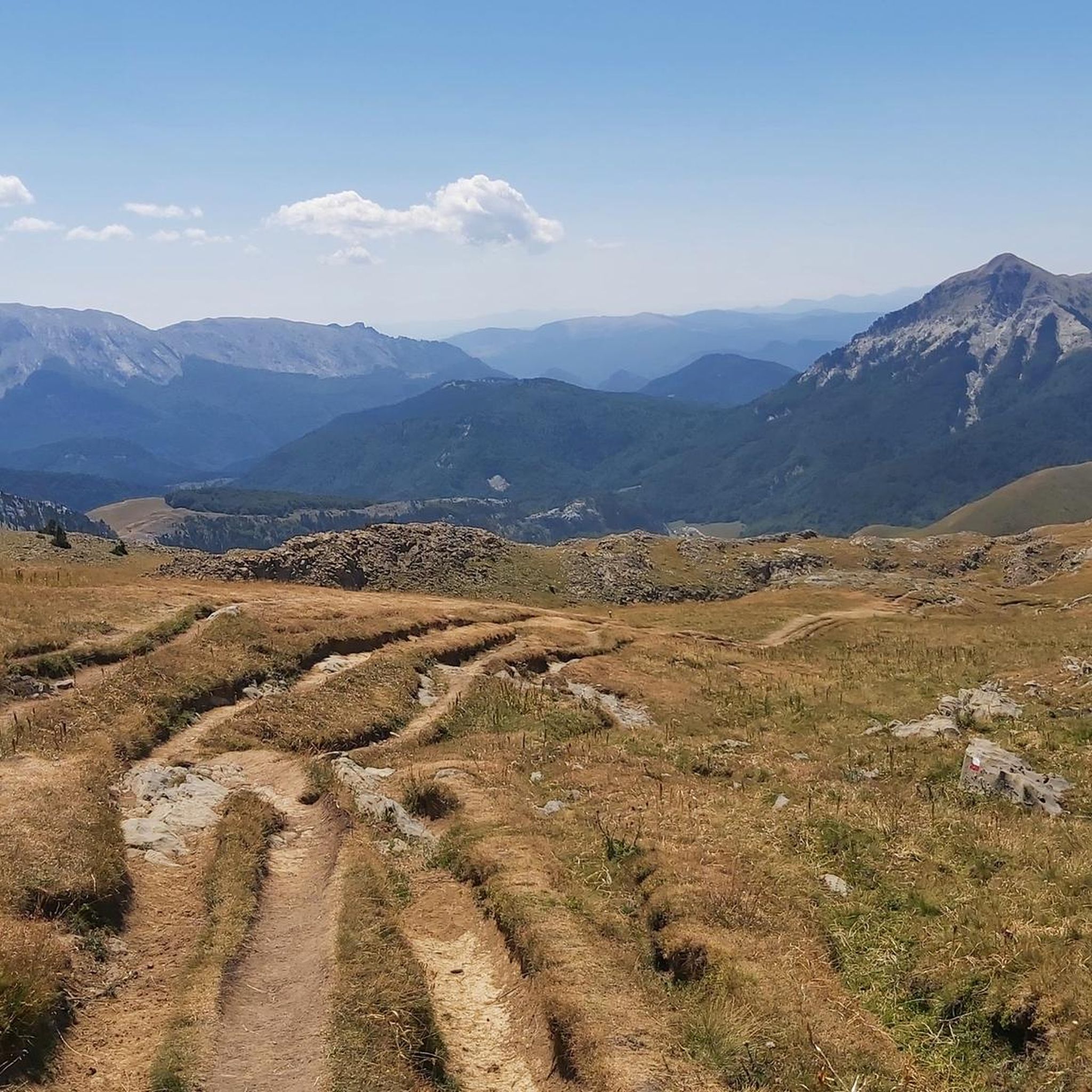
Road Cycling Routes in Valles Occidentales
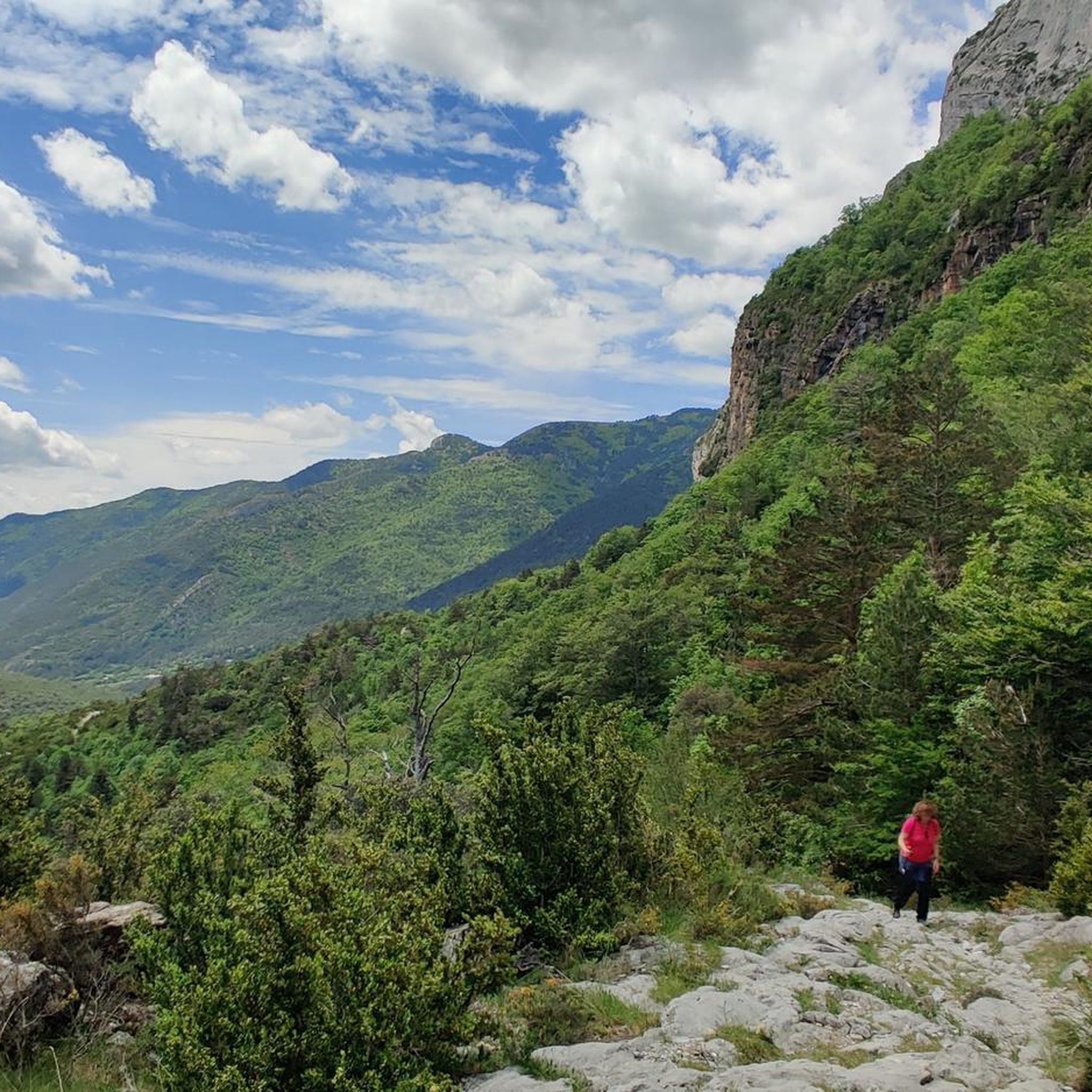
Cycling in Valles Occidentales
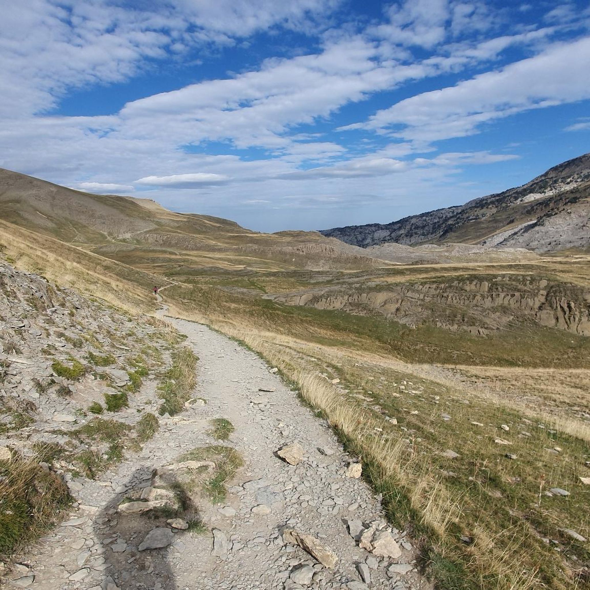
MTB Trails in Valles Occidentales

Mountain Hikes in Valles Occidentales

Gravel biking in Valles Occidentales


Tips from the Community

The Mesa de los Tres Reyes is the highest peak in Navarra with 2444 meters. It starts from the Linza refuge, being a hard and demanding climb due to the distance (17 km round trip) and the difference in altitude (1309 meters); and the last climb to reach the top in which you inevitably have to put your hands down on a steep slope with loose stones, although it is even more impressive on the way down. But the effort is rewarded by the areas that are crossed and the views throughout the journey.
1
0

It is best to put the bag down before climbing to the table.
0
0

One of the "must do" summits if you live "not so far" from it.
5
0

Spectacular views of Chinebral de Gamueta (2,329 m). The significance of Chinebral de Gamueta seems to be associated with the presence of two plant species: junipers (chinebros) and asphodels.
2
0

Its name most likely comes from the Basque "bizar", which means 'beards' and the root "auri" which means "yellow or golden", becoming the mount of golden beards.
0
2
One of the most unique mountains in the Pyrenees, with an unmistakable silhouette from the Oza meadow. Its ascent constitutes an excursion without difficulty and of great attraction that crosses the forest, extensive high meadows, a slope covered with scree, and the lonely and desolate karstic valley above.
1
1

Highest peak in Navarra. Good physical condition and good weather conditions are essential.
2
0

The Peña Ezcaurre, is a peak of the western Pyrenees, 2045m high, nestled between the valleys of Zuriza (high Ansó valley) and Roncal. Its top is in the divide between Aragon (province of Huesca) and Navarra
3
0
Frequently Asked Questions
Which mountain peaks in Valles Occidentales offer the most challenging ascents?
For experienced hikers and mountaineers seeking a challenge, Punta Bisaurín (2,670 m) is the highest and most prominent peak in the Natural Park of the Western Valleys, offering demanding routes and expansive views. Table of the Three Kings (Hiru Erregen Mahaia), at 2,446 meters, also presents a hard and demanding climb, particularly the final ascent with loose stones.
Are there any mountain peaks in Valles Occidentales known for unique geological formations?
Yes, Castillo d'Acher (2,384 m) is renowned for its distinctive 'castle-like' serrated ridge. Its striking geological formations make it a visually captivating peak and a rewarding destination.
Which mountain peaks in Valles Occidentales have historical or cultural significance?
Table of the Three Kings (Hiru Erregen Mahaia), standing at 2,446 meters, is historically significant as it marked the crossroads of three ancient kingdoms. This adds a unique cultural dimension to its natural beauty.
Can I find mountain peaks near high-altitude lakes in Valles Occidentales?
Yes, the peak of Acherito (2,374 m) is closely associated with the pristine high-mountain lake known as Ibón de Acherito, which has glacial origins. The combination of the peak and its lake offers picturesque hiking routes.
What is the best time of year to hike the mountain peaks in Valles Occidentales?
The best time to hike the mountain peaks in Valles Occidentales is generally during the late spring, summer, and early autumn months (June to September). During this period, the weather is more stable, snow has largely melted from higher elevations, and trails are more accessible. Always check local weather forecasts before heading out, as conditions can change rapidly in high-mountain environments.
What kind of wildlife can I expect to see around the mountain peaks in Valles Occidentales?
The Valles Occidentales Natural Park is a haven for diverse wildlife. You might spot endangered species such as the brown bear and bearded vulture, along with various other birds and river-dwelling animals. The quietness of the region, with fewer crowds, often increases the chances of wildlife encounters.
Are there family-friendly mountain peaks or easier ascents in the Valles Occidentales region?
While many peaks in the Aragonese Pyrenees are challenging, the broader region, including areas like Vallès Occidental near Barcelona, offers more accessible peaks. For example, La Mola (1,104 m) and Montcau (1,056.8 m) are popular for family hiking, featuring well-maintained trails and rewarding views. Puig de la Creu (668 m) is also easily climbable and offers good regional views.
What outdoor activities can I do near the mountain peaks in Valles Occidentales?
Beyond peak bagging, the Valles Occidentales region offers a wide range of outdoor activities. You can explore extensive networks of trails for hiking, including parts of the GR-11. There are also numerous routes for mountain biking and road cycling, allowing you to experience the diverse landscapes of the Pyrenees.
Are there specific hiking trails to reach the prominent peaks in Valles Occidentales?
Yes, there are established trails for many of the prominent peaks. For instance, you can find the 'Mesa de los Tres Reyes from Linza Trail' and the 'Punta Bisaurín Loop from Lizara Refuge' for challenging ascents. The 'Castillo d'Acher Trail' also offers a unique experience. You can find more details on these and other routes in the Hiking in Valles Occidentales guide.
What are the main forest areas found around the mountain peaks in Valles Occidentales?
The Valles Occidentales Natural Park is characterized by unique forest masses such as the Oza Forest and the Labati and Gamueta forests. These areas feature large beech, fir, and black pine trees, providing lush and diverse ecosystems that contrast with the high-alpine environments of the peaks.
Are there any refugios or mountain huts available for overnight stays near the peaks?
Yes, the region has refugios (mountain huts) that can serve as bases for exploring the peaks. For example, the Linza refuge is a common starting point for the demanding climb to the Table of the Three Kings. These refugios provide essential services for hikers and mountaineers in the high-mountain environment.
What do visitors enjoy most about the mountain peaks in Valles Occidentales?
Visitors particularly appreciate the challenging ascents and the panoramic views offered by peaks like Punta Bisaurín. The unique silhouette of Castillo d'Acher and the historical significance of Table of the Three Kings are also highly valued. The overall quietness and fewer crowds compared to other mountain ranges are a significant draw for those seeking peace and unspoiled nature.
Most popular routes in Valles Occidentales
Most popular attractions in Valles Occidentales

Get inspired with the komoot mobile app


Explore more
See even more amazing summits in Valles Occidentales with these guides:
