The best walks and hikes around Petershausen
4.4
(85)
628
hikers
66
hikes
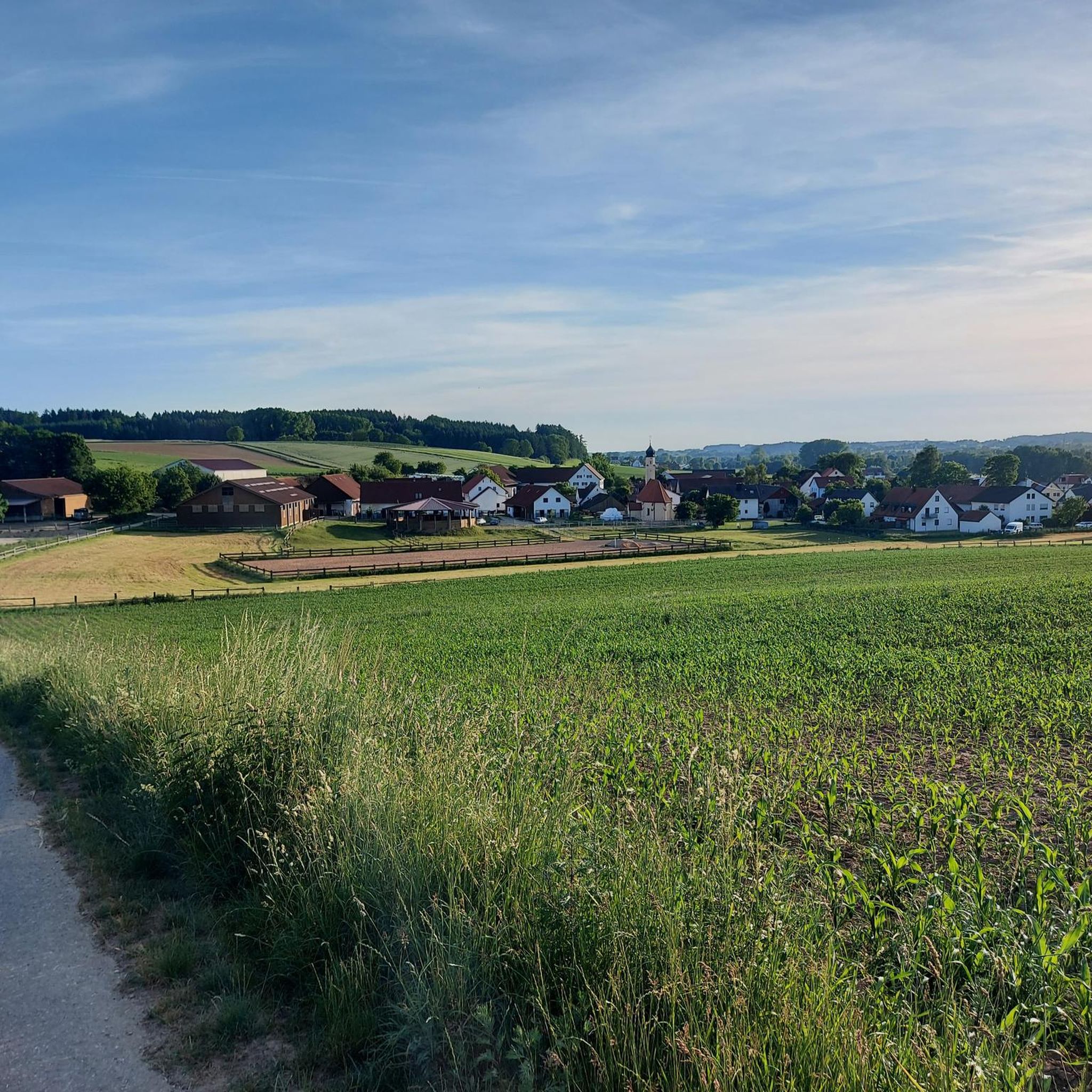
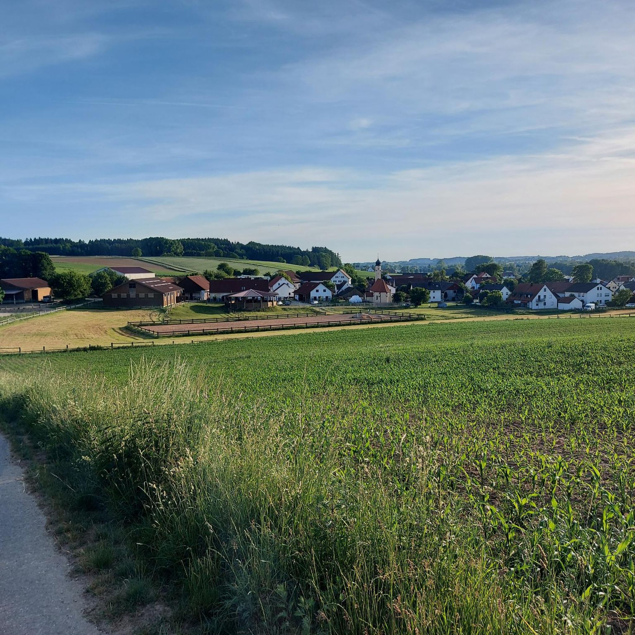
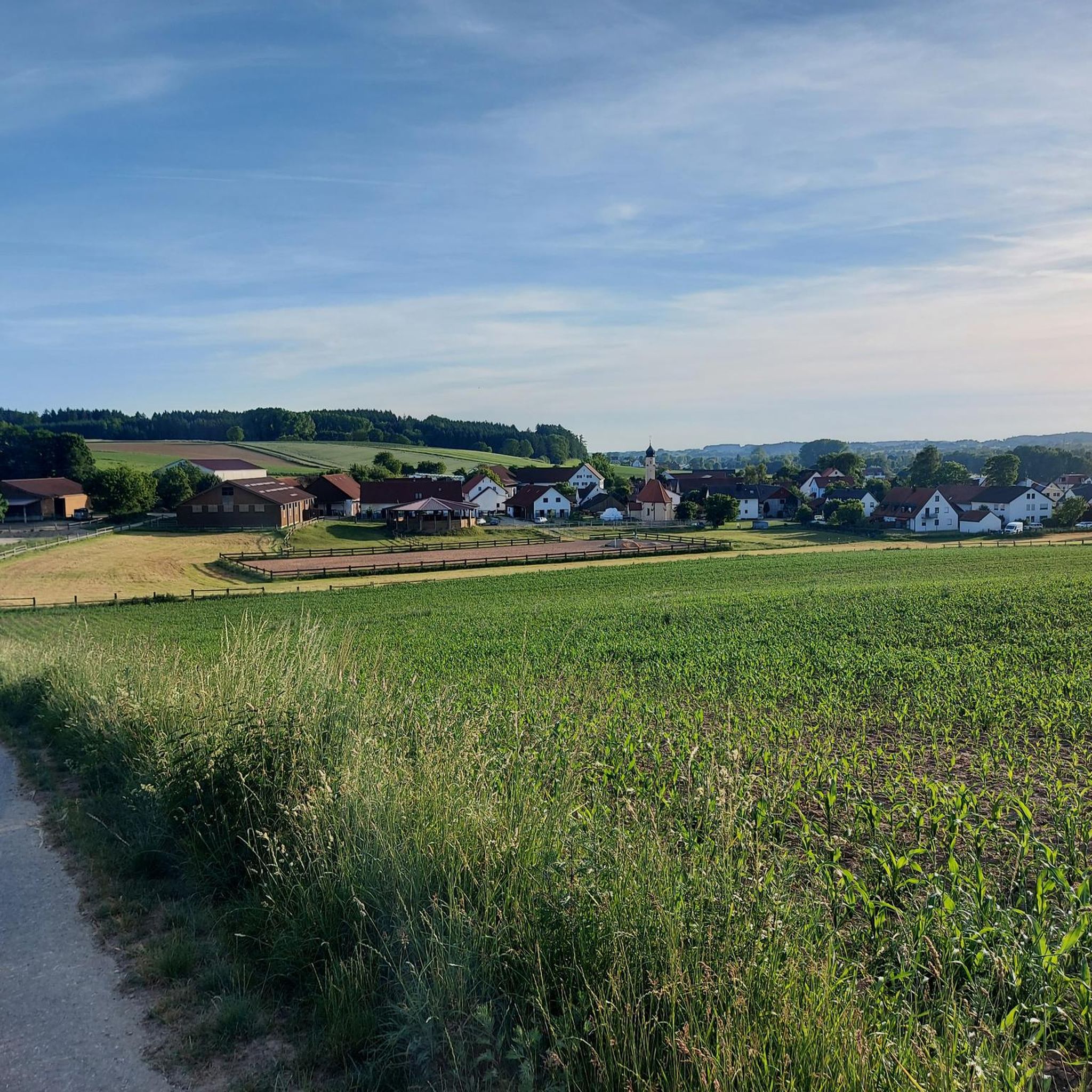
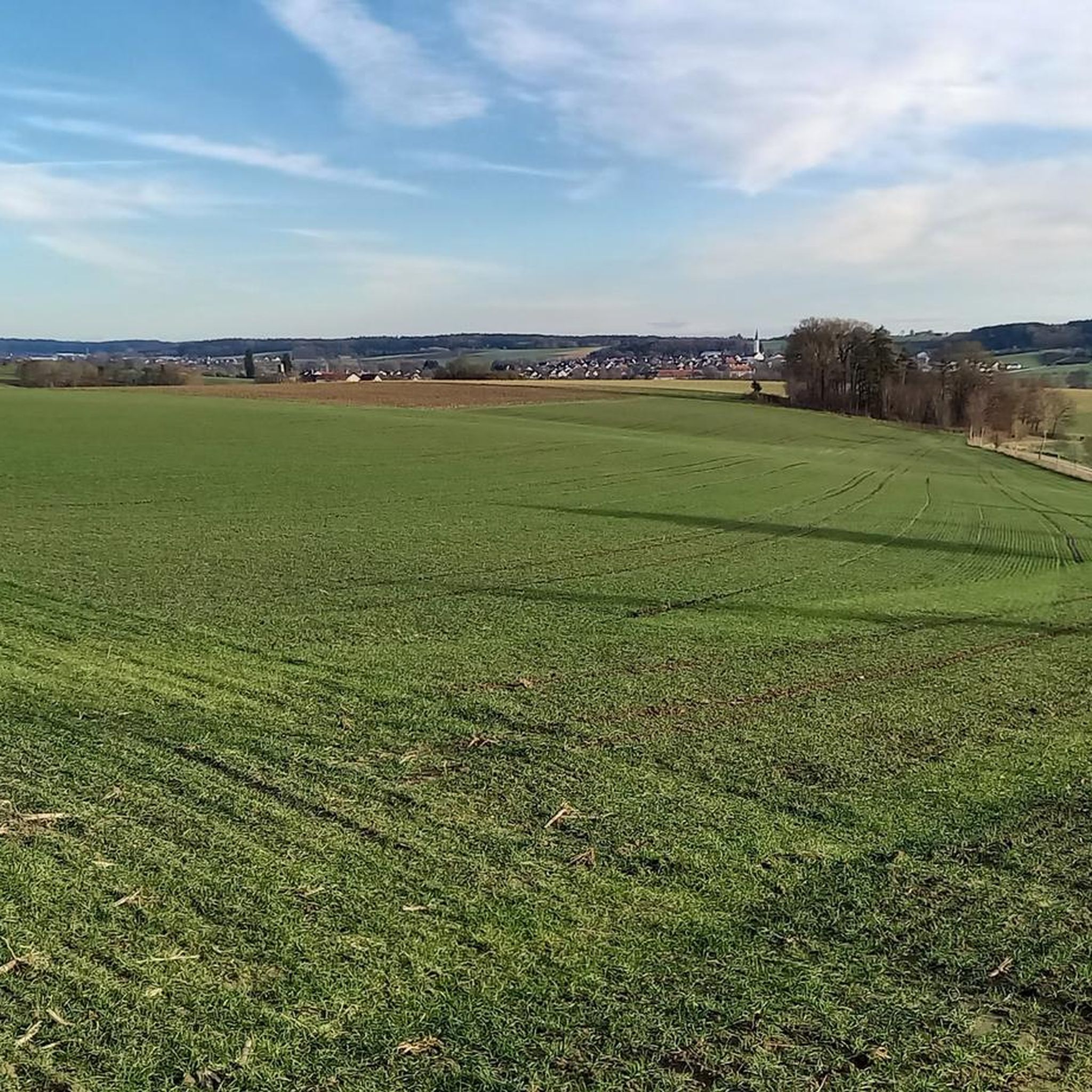
Hiking around Petershausen offers access to diverse landscapes characterized by rolling hills, lush meadows, and dense forests. The region is situated near the Augsburg-Western Woods Nature Park and the Dachauer Moos, providing varied environments for exploration. Rivers such as the Amper and Glonn flow through the area, contributing to scenic riverside walks and the untouched Weichser Moos nature reserve. This setting provides a range of hiking trails suitable for different preferences and fitness levels.
Best hiking trails around Petershausen
- The…
Last updated: July 10, 2026
4.5
(27)
103
hikers
8.67km
02:21
120m
120m
Moderate hike. Good fitness required. Easily-accessible paths. Suitable for all skill levels.
4.6
(5)
26
hikers
8.89km
02:22
90m
90m
Moderate hike. Good fitness required. Easily-accessible paths. Suitable for all skill levels.

Sign up for free
4.0
(7)
61
hikers
5.30km
01:21
20m
20m
Easy hike. Great for any fitness level. Easily-accessible paths. Suitable for all skill levels.
15
hikers
Easy hike. Great for any fitness level. Easily-accessible paths. Suitable for all skill levels.
5.0
(3)
20
hikers
7.70km
02:00
50m
40m
Easy hike. Great for any fitness level. Easily-accessible paths. Suitable for all skill levels.
Get access to more routes and recommendations from other explorers.
Sign up for free
Already have an account?
Our route recommendations are based on thousands of hikes, rides, and runs completed by other people on komoot.
Start today with a free account
Your next adventure awaits.
Login or Signup
Tips from the Community


Beautiful path along the Glonn
3
0
Beautiful bridge with the Nepomuk figure
2
0
Frequently Asked Questions
How many hiking trails are available around Petershausen?
There are nearly 70 hiking trails around Petershausen, offering a wide range of options. Most of these, around 50, are considered easy, with about 15 moderate routes and a few more challenging options.
What kind of landscapes can I expect to see while hiking in Petershausen?
Hiking around Petershausen offers diverse landscapes, including rolling hills, lush meadows, and dense forests. You'll also find scenic riverside walks along the Amper and Glonn valleys, and access to the unique environments of the Augsburg-Western Woods Nature Park and the Dachauer Moos.
Are there any easy, family-friendly hiking routes in Petershausen?
Yes, Petershausen has many easy routes suitable for families. For example, the Café Kloiber – Chapel in Upper Bavaria loop from Petershausen is an easy 5.3 km trail that takes about 1 hour 20 minutes, leading through pleasant countryside. The region also features a 'Children's Hiking Trail' designed specifically for families.
Are there circular hiking routes available in Petershausen?
Many of the trails around Petershausen are circular, allowing you to start and end at the same point. Examples include the Hohenkammer Castle – Glonn River near Hohenkammer loop from Weißling and the Forest tipi – View of Steinkirchen loop from Petershausen, both offering varied scenery.
What are the best seasons for hiking in Petershausen?
The best seasons for hiking in Petershausen are spring and autumn. During these times, the weather is mild, and the landscapes display vibrant colors, making for a particularly scenic experience.
What do other hikers enjoy most about the trails in Petershausen?
The trails in Petershausen are highly rated by the komoot community, with an average score of 4.5 stars. Hikers often praise the varied terrain, from river valleys to forests, and the well-maintained paths that often lead away from traffic.
Are there any historical sites or natural monuments to see along the trails?
Yes, the Petershausen area is rich in points of interest. You can explore sites like the Ancient Burial Mounds or natural features such as the Brautlache. Many routes also offer views of the Glonn valley and various castles.
Can I find trails that pass by castles or palaces?
Absolutely. The region around Petershausen features several castles and palaces. For instance, the Hohenkammer Castle – Glonn River near Hohenkammer loop from Weißling passes by Hohenkammer Castle. Other notable structures in the vicinity include Haimhausen Palace and Reichertshausen Castle.
Are there any trails that offer good scenic views?
Many trails in Petershausen provide scenic views, particularly those winding through the Glonn valley or higher elevations. The Forest tipi – View of Steinkirchen loop from Petershausen offers views towards Steinkirchen. You can also find specific viewpoints like the Wedding Place near Obermarbach or the View of the Glonntal and Hohenkammer from the Altbaierischer Oxenweg.
Are there hiking routes that are suitable for dogs?
The natural landscapes around Petershausen, with their extensive forests and open meadows, are generally welcoming for dogs. Many trails, such as the Ebersbach Farm Museum – Glonn River Near Aufhausen loop from Petershausen, offer plenty of space for dogs to enjoy. Always ensure your dog is under control and respect local wildlife and agricultural areas.
Can I reach hiking trailheads in Petershausen using public transport?
Petershausen is a community with good connections, and many trailheads are accessible. While specific public transport details for each trailhead vary, the town itself is well-connected, making it a good starting point for exploring the surrounding trails.
Is parking available at the trailheads around Petershausen?
Yes, parking is generally available near the starting points of many hiking trails in and around Petershausen, especially in the villages and at popular access points to nature areas. It's advisable to check specific route details for designated parking areas.
Most popular routes around Petershausen
Most popular attractions around Petershausen

Get inspired with the komoot mobile app


Explore more
Browse the best Hikes in other regions.
