The best walks and hikes around Pernitz
4.6
(4497)
24,672
hikers
55
hikes
Hiking around Pernitz offers a diverse landscape characterized by forested valleys, water features like Myra Falls, and hills providing panoramic views. The region includes areas such as Muggendorf Forest and the Hohe Mandling Summit, presenting varied terrain for outdoor activities. Elevation changes are present, with routes navigating through woodlands and towards viewpoints. This area provides a range of hiking experiences within a natural setting.
Best hiking trails around Pernitz
- The most popular hiking route is Myra Falls – Hausstein Summit…
Last updated: October 8, 2026
4.4
(16)
69
hikers
9.86km
02:54
240m
240m
Moderate hike. Good fitness required. Mostly accessible paths. Sure-footedness required.
4.6
(13)
51
hikers
Moderate hike. Good fitness required. Mostly accessible paths. Sure-footedness required.

5.0
(5)
30
hikers
Moderate hike. Good fitness required. Mostly accessible paths. Sure-footedness required.
4.7
(6)
27
hikers
11.0km
03:19
330m
330m
Moderate hike. Good fitness required. Mostly accessible paths. Sure-footedness required.
4.7
(3)
23
hikers
9.77km
03:26
530m
530m
Moderate hike. Good fitness required. Mostly accessible paths. Sure-footedness required.
Get access to more routes and recommendations from other explorers.
Already have an account?
Our route recommendations are based on thousands of hikes, rides, and runs completed by other people on komoot.
Start today with a free account
Your next adventure awaits.
Popular around Pernitz






Tips from the Community

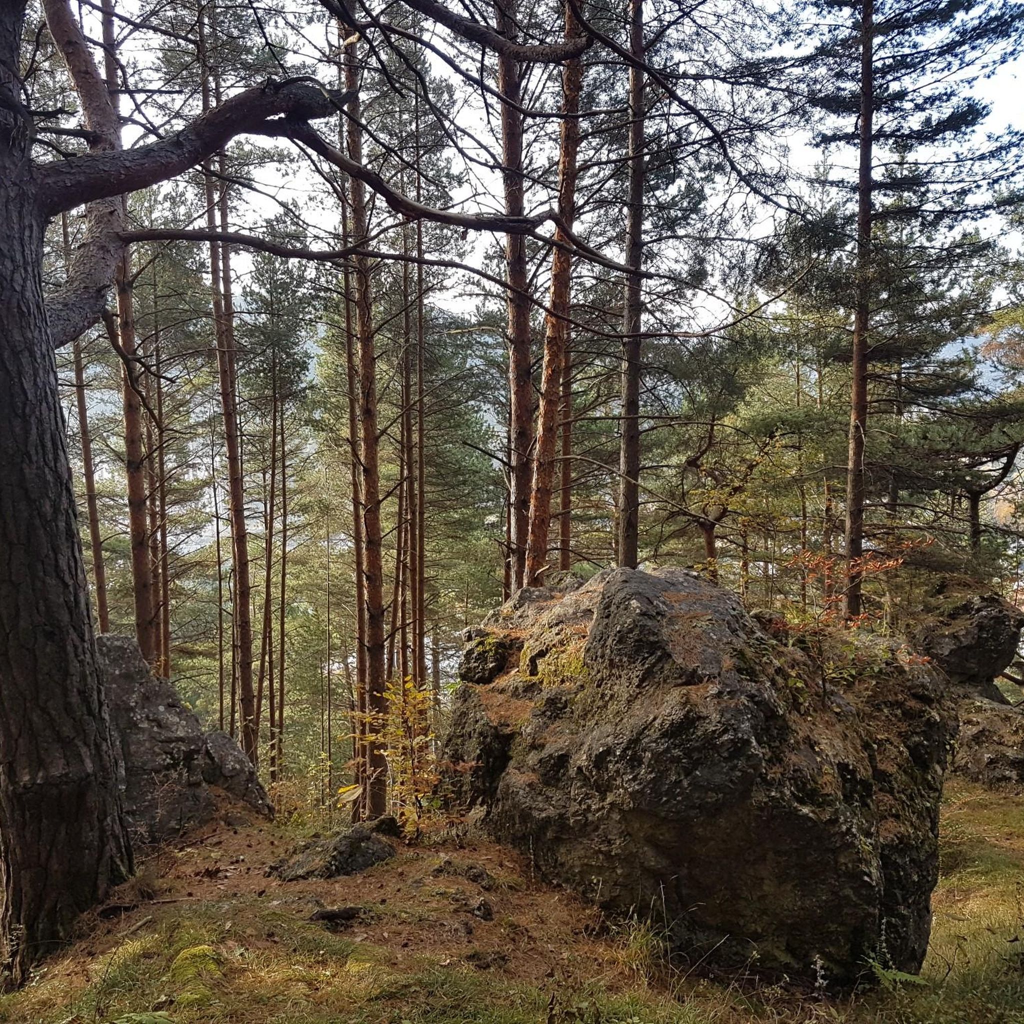
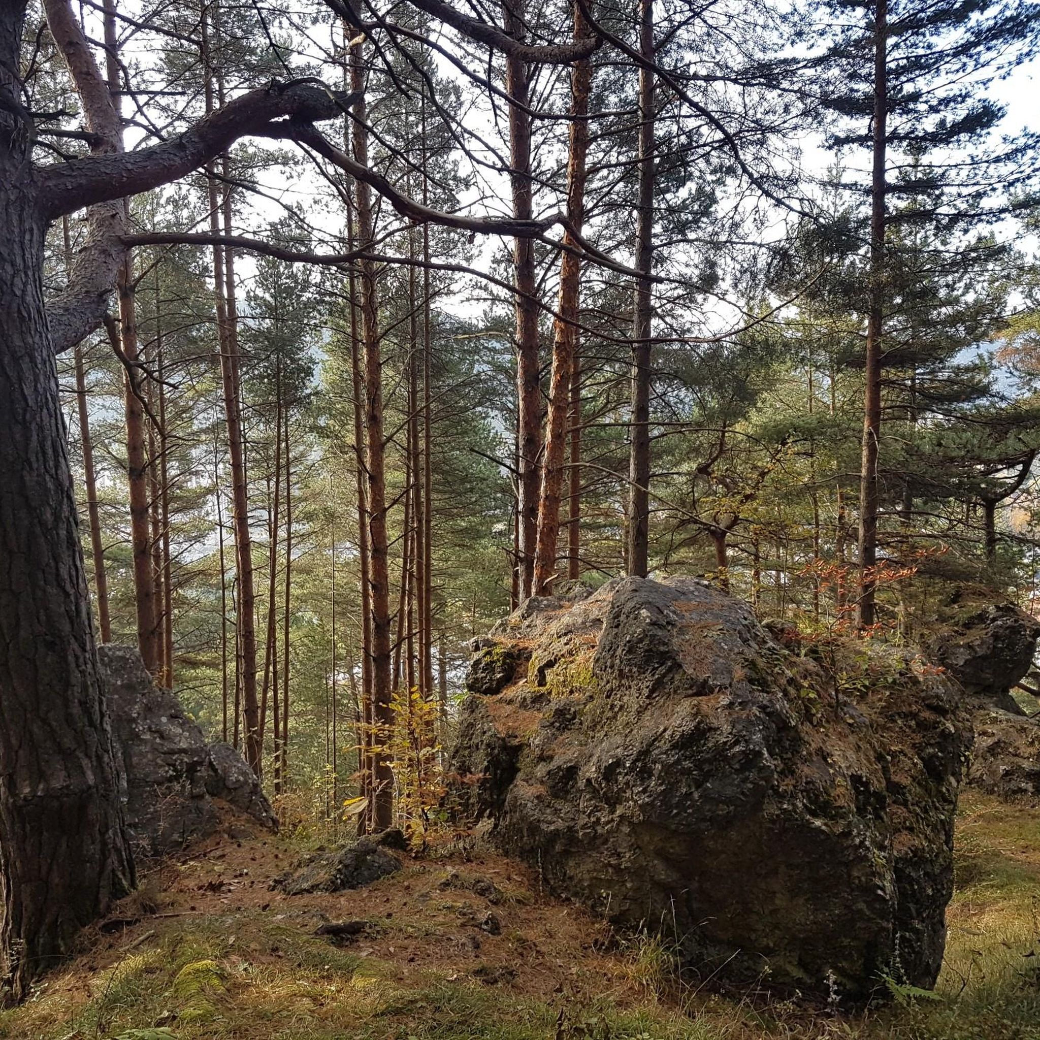
A quiet, wooded saddle at 787 meters above sea level. The inconspicuous high point is located off the beaten track and is well suited as an intermediate destination on a hike over the Mandling ridge. There is hardly any distinct view here, but plenty of tranquility and a pleasant forest atmosphere.
4
0
The Fozeben ski hut is located quietly and somewhat secluded in the forest. It is reminiscent of the area's former use for winter sports and is now an interesting point along the hiking trail. The surroundings are well-suited for a short break, even if the hut itself is not always accessible.
5
0
According to legend, this is where the last wolf in Lower Austria was supposedly killed. Today, the spot commemorates the former distribution of wolves in the densely wooded areas of the region. An inconspicuous, but historically interesting point along the way.
4
0
A quiet resting place directly at the summit of the Hohe Mandling. The seating is ideal for a break after the ascent. The summit is largely in the forest, which limits the view, but makes the spot pleasantly secluded and quiet.
4
0
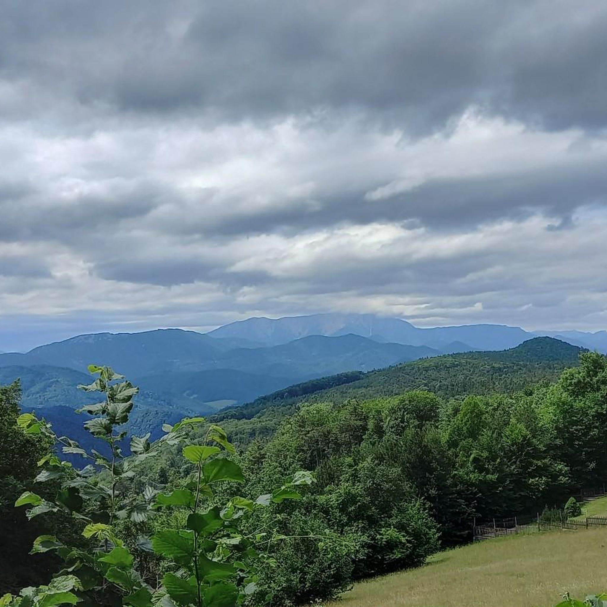
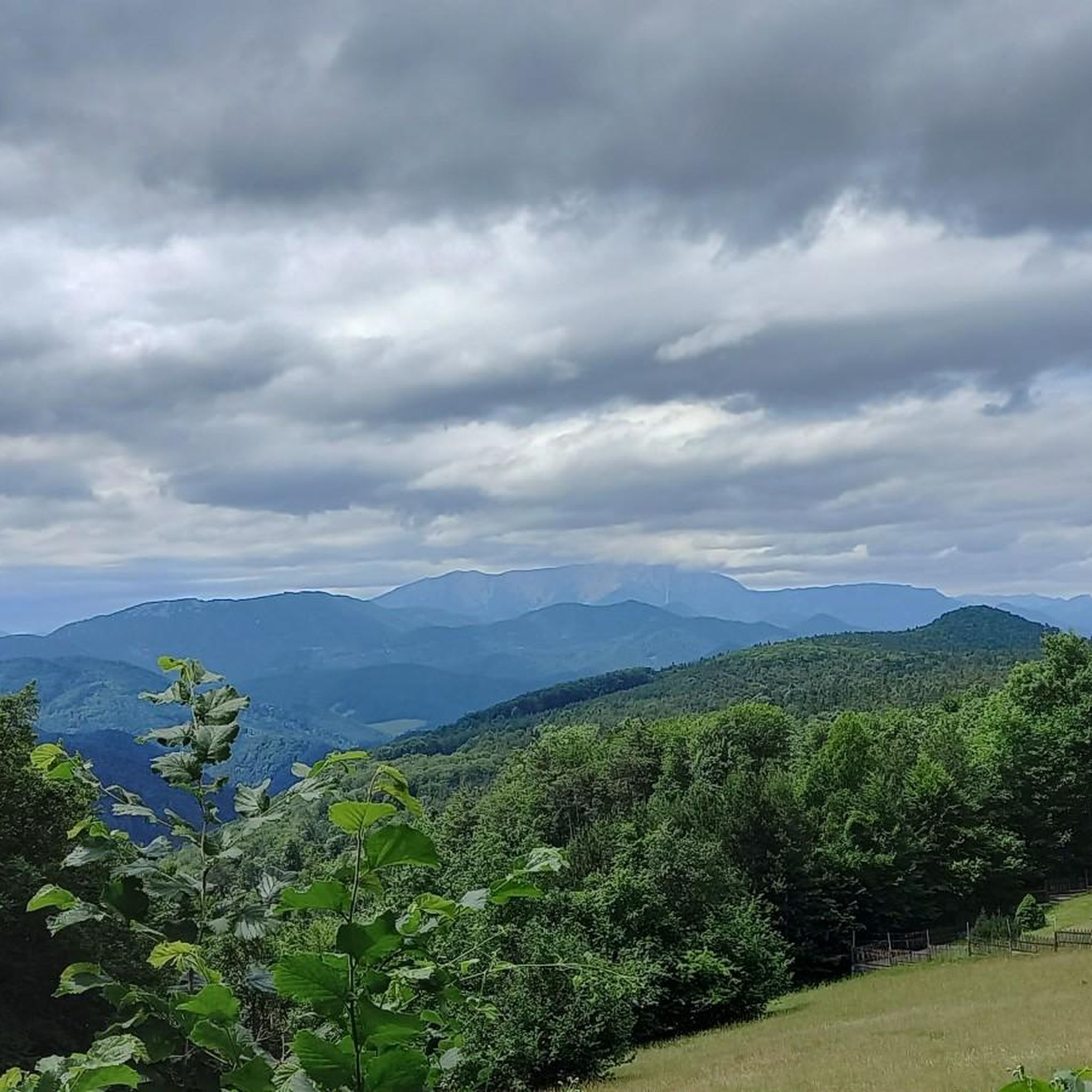
A beautiful viewpoint with a wide view over the Piestingtal valley and the surrounding wooded hills. The place is well-suited for a short rest and offers an impressive panorama of the villages and the valley landscape, especially when the visibility is clear.
4
0
An old farmhouse is said to have stood here in the past. Today, no visible remains are preserved. The building apparently fell into ruin and disappeared completely a long time ago. Only the location in the terrain still reminds us that a cultivated farm once stood here.
4
0
Varied trail between Hohe Mandling and Ortmann, leading through quiet forest sections and over narrow, partly natural paths. The section appears remote in places and offers a nice connection between the summit area and the valley. Depending on the weather, individual passages can be slippery or somewhat unclear, but overall it is an attractive route for those who prefer to be on quiet forest paths rather than wide forest roads.
4
0
The Hausstein (668 m) is one of the most distinctive viewing peaks around Muggendorf and delights with its bright limestone rocks. From the summit cross, a wide view opens up over the Piestingtal valley and the surrounding Gutenstein Alps. The varied ascent and the scenic summit plateau make the Hausstein a popular hiking destination. ⛰️🌄
4
0
Frequently Asked Questions
How many hiking trails are available around Pernitz?
Pernitz offers a wide selection of hiking routes, with over 50 trails to explore. These range from easy strolls through the valleys to more challenging ascents towards viewpoints.
Are there easy hiking trails suitable for beginners or families in Pernitz?
Yes, Pernitz has a good number of easy trails. Approximately 25 routes are classified as easy, making them suitable for families or those looking for a relaxed walk. Many of these paths wind through forested areas and along gentle slopes.
What kind of terrain can I expect on hikes in Pernitz?
The terrain around Pernitz is diverse, characterized by forested valleys, hills, and water features. You'll find paths leading through dense woodlands, alongside streams, and up to summits like Hohe Mandling, offering varied walking experiences.
Are there any circular hiking routes in Pernitz?
Many of the trails in Pernitz are designed as circular routes, allowing you to start and end at the same point. For example, the Myra Falls – Hausstein Summit loop from Pernitz-Muggendorf is a popular moderate circular hike that takes you through scenic landscapes.
Can I find trails that feature waterfalls in the Pernitz area?
Absolutely. The Myra Falls are a prominent natural attraction in the region. Several routes incorporate these beautiful cascades, such as the Myra Falls – Muggendorf Forest Nature Trail loop from Pernitz-Muggendorf, offering a refreshing experience.
What are some notable landmarks or attractions to see while hiking near Pernitz?
Beyond the natural beauty, the Pernitz area is rich in historical sites. You can explore several castles and ruins, including the impressive Starhemberg Castle Ruins or the well-preserved Hernstein Castle. Many trails pass close to these points of interest.
Are there any challenging hikes for experienced trekkers in Pernitz?
While many routes are moderate, Pernitz does offer some more challenging options. There are 4 trails classified as difficult, often featuring steeper ascents and more significant elevation changes, providing a good workout for experienced hikers.
What do other hikers say about the trails in Pernitz?
The hiking trails in Pernitz are highly regarded by the komoot community, holding an average rating of 4.7 out of 5 stars from over 160 reviews. Hikers frequently praise the diverse scenery, well-maintained paths, and the natural beauty of areas like the Myra Falls and the Muggendorf Forest.
Are there any trails that offer panoramic views?
Yes, several routes lead to viewpoints and summits that provide expansive vistas. The Fozeben Ski Hut – Hohe Mandling Summit Rest Area loop from Pernitz Wipfelhofstraße, for instance, takes you towards the Hohe Mandling Summit, known for its scenic outlooks over the surrounding landscape.
How long do hikes around Pernitz typically take?
Hike durations vary depending on the route and your pace. Many moderate trails, such as the Myra Falls – View of Schneeberg loop from Pernitz-Muggendorf, can be completed in about 3 to 3.5 hours. Shorter, easier walks might take less, while longer, more challenging routes could extend to 4 hours or more.
Are there any trails that offer views of Schneeberg mountain?
Yes, some routes in the Pernitz area provide glimpses of the majestic Schneeberg. The Myra Falls – View of Schneeberg loop from Pernitz-Muggendorf is specifically designed to offer views of this prominent peak, adding another layer of scenic beauty to your hike.
Most popular routes around Pernitz
Most popular attractions around Pernitz

Get inspired with the komoot mobile app


Explore more
Browse the best Hikes in other regions.
