The best walks and hikes around Río Ouro
4.4
(90)
828
hikers
47
hikes
Hiking trails around Río Ouro offer diverse landscapes, from the mountainous terrain of the Serra do Xistral to the tranquil river valley and its estuary. The region is characterized by well-preserved riparian forests, featuring native species like alder and willow, and coastal environments where the river meets the Cantabrian Sea. Hikers can explore a blend of riverine scenery, including meanders and small cliffs, alongside coastal paths and sandy beaches. The area is designated as a Zone of Special Conservation, highlighting…
Last updated: July 1, 2026
4.0
(1)
8
hikers
Moderate hike. Good fitness required. Mostly accessible paths. Sure-footedness required.
4.6
(7)
81
hikers
7.87km
02:07
90m
90m
Moderate hike. Good fitness required. Easily-accessible paths. Suitable for all skill levels.

Sign up for free
4.4
(8)
46
hikers
5.95km
01:34
50m
50m
Easy hike. Great for any fitness level. Easily-accessible paths. Suitable for all skill levels.
25
hikers
8.25km
02:13
110m
110m
Moderate hike. Good fitness required. Easily-accessible paths. Suitable for all skill levels.
5.0
(4)
20
hikers
5.02km
01:20
50m
50m
Easy hike. Great for any fitness level. Easily-accessible paths. Suitable for all skill levels.
2.0
(2)
10
hikers
9.74km
02:40
160m
160m
Moderate hike. Good fitness required. Easily-accessible paths. Suitable for all skill levels.
4.5
(2)
10
hikers
13.6km
03:34
100m
100m
Moderate hike. Good fitness required. Easily-accessible paths. Suitable for all skill levels.
5.0
(1)
6
hikers
3.60km
00:56
30m
30m
Easy hike. Great for any fitness level. Easily-accessible paths. Suitable for all skill levels.
5.0
(1)
10
hikers
5.62km
01:28
40m
40m
Easy hike. Great for any fitness level. Easily-accessible paths. Suitable for all skill levels.
5.0
(1)
5
hikers
6.70km
01:48
80m
80m
Easy hike. Great for any fitness level. Easily-accessible paths. Suitable for all skill levels.
Get access to more routes and recommendations from other explorers.
Sign up for free
Already have an account?
Our route recommendations are based on thousands of hikes, rides, and runs completed by other people on komoot.
Start today with a free account
Your next adventure awaits.
Login or Signup
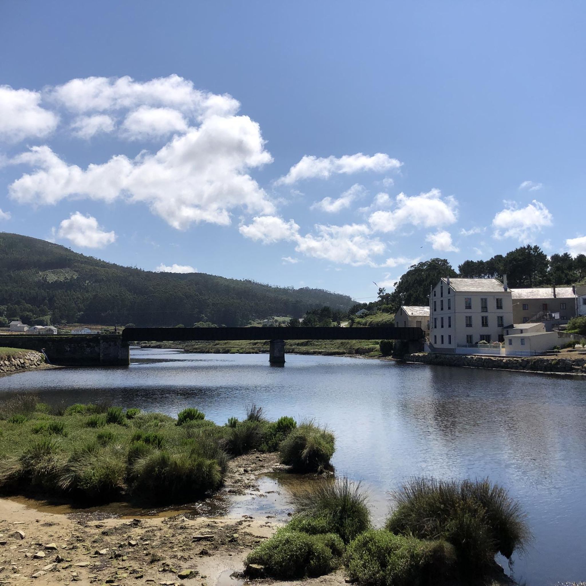
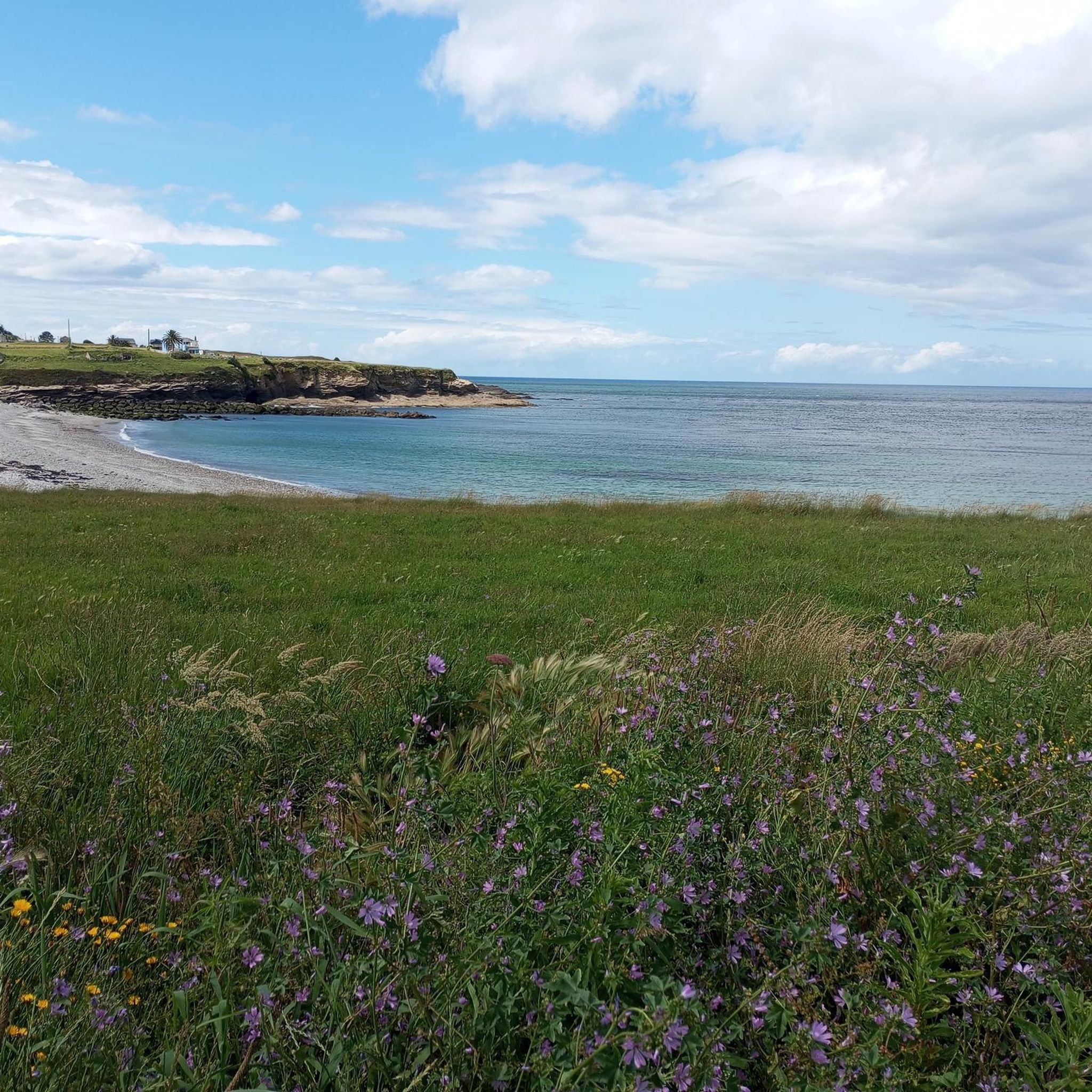
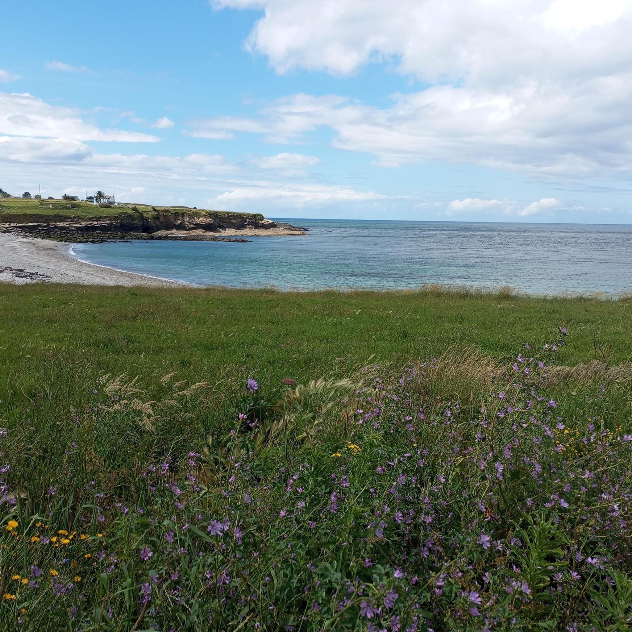
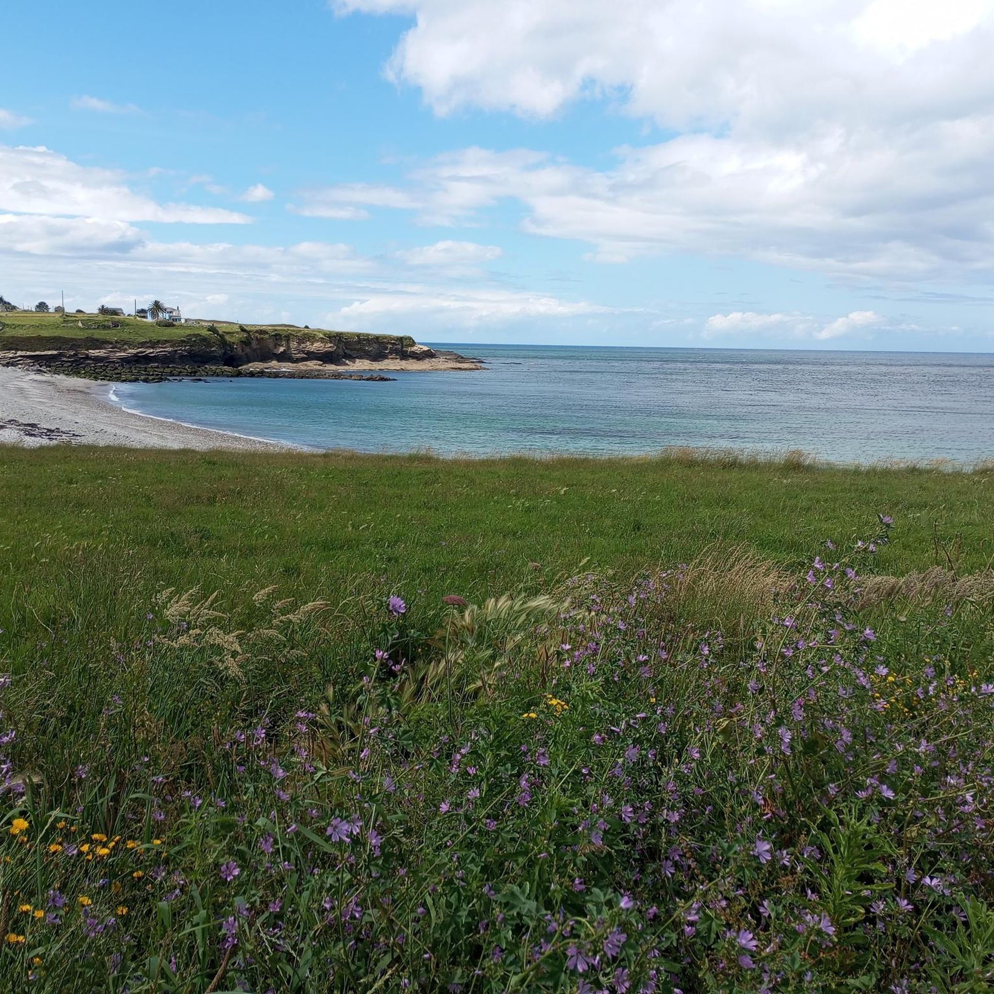
Tips from the Community

The motorhome parking space is great there, and next to it is a good indoor pool at 26 degrees. There's a small sauna and gym for 5.60 euros. Everything is clean and very friendly.
0
0

Beautiful basilica 🤙
0
1

The Paseo Marítimo de Foz is a public space for recreation and promenade with incredible views of the Galician north Atlantic coast.
3
0
Foz, a small fishing village and former whaling port at the mouth of the Foz estuary. The area is a unique natural habitat of salt marshes for one of the largest seabird colonies in northwestern Spain.
1
0

The castro of Fazouro is an old fortified settlement dating between the 1st and 3rd centuries AD. Rectangular buildings, benches attached to the stone walls and remains of homes are preserved. It is the only fort on the Galician Cantabrian coast that is preserved as a museum.
1
2
The municipality of Foz, on the shores of the Cantabrian Sea, stands out for its beautiful beaches and the protected natural area of its estuary. It has an interesting historical heritage made up of churches, a castro and a fortress.
2
0
Frequently Asked Questions
How many hiking trails are available in the Río Ouro region?
The Río Ouro region offers a wide variety of hiking experiences, with nearly 50 distinct trails recorded on komoot. These routes cater to different preferences, from gentle riverside strolls to more challenging treks through varied landscapes.
What kind of natural features can I expect to see on hikes around Río Ouro?
Río Ouro is known for its lush, green environment, featuring well-preserved riparian woodlands with indigenous species like alders, ash, and willows. You'll encounter the river's meanders, small cliffs, and its estuary where it meets the Cantabrian Sea, bordered by sandy beaches such as Pampillosa and O Sarrido. The area is also a Special Area of Conservation, protecting unique fauna.
Are there any family-friendly hiking options in Río Ouro?
Yes, many trails in Río Ouro are suitable for families. The region offers numerous easy routes, with 27 out of nearly 50 trails classified as easy. These often follow the riverbanks or coastal paths, providing accessible and enjoyable experiences for all ages. For example, the Foz loop from Marzán is an easy 4.5 km path.
Can I bring my dog on the hiking trails in Río Ouro?
Most trails in the Río Ouro region are generally dog-friendly, allowing you to enjoy the natural beauty with your canine companion. However, it's always recommended to keep dogs on a leash, especially in protected areas or near wildlife, and to respect local signage regarding pet access. Ensure you carry water for your dog, particularly on longer routes.
Are there any circular hiking routes in Río Ouro?
Yes, the Río Ouro area features several excellent circular routes, perfect for returning to your starting point. A popular choice is the Castillo da Frouseira – circular by the Pico da Frouseira – La Mariña Central, a moderate 8.6 km trail. Another option is the A Rapadoira Beach – Coastal Walkway of Foz loop from Foz, offering coastal views.
What historical or cultural landmarks can be found along the trails?
The trails along Río Ouro are rich in historical and cultural elements. You might discover an ancient petroglyph near the Old Bridge, pass by traditional structures like old mills and 'cabozo,' or see the ruins of a former power plant known as 'A Planta.' The Church of Santiago de Fazouro is also located near the river's mouth, and you may spot ancient Galician 'horreos' (traditional granaries) in the area.
Are there any waterfalls to see while hiking in Río Ouro?
Yes, a notable natural highlight is A Pena da Ruxida Waterfall, also known as Presa da Posada. This picturesque waterfall is located along the river's course and is a beautiful spot to visit during your hike. The Central eléctrica de Posada loop from O Terrón is an easy route that explores riverine landscapes in this vicinity.
What is the best time of year to go hiking in Río Ouro?
The Río Ouro region, with its lush environment, is generally pleasant for hiking during spring, summer, and early autumn. These seasons offer milder temperatures and vibrant greenery. The riparian forests and coastal paths are particularly inviting when the weather is clement, allowing for comfortable exploration of the diverse landscapes.
What do other hikers say about the trails in Río Ouro?
The hiking trails in Río Ouro are highly rated by the komoot community, with an average score of 4.4 stars from nearly 100 reviews. Hikers often praise the diverse scenery, which includes river valleys, coastal paths, and forested areas, as well as the variety of routes suitable for different ability levels.
Are there any challenging hikes for experienced trekkers in Río Ouro?
While many routes are easy or moderate, Río Ouro does offer some more challenging options for experienced hikers. There are 3 difficult trails available, often involving more significant elevation changes or rugged terrain, particularly in areas closer to the Serra do Xistral. These routes require good physical condition and sure-footedness.
Is there parking available near the trailheads in Río Ouro?
Yes, many hiking routes in Río Ouro have convenient starting points, often near recreational areas or bridges, where parking facilities are typically available. For example, routes originating from Foz or Marzán usually have accessible parking options, making it easy to begin your adventure.
Can I reach the hiking trails using public transport?
While specific public transport options can vary, the main towns and villages in the Río Ouro region, such as Foz, are generally connected by local bus services. It's advisable to check local transport schedules in advance, especially if you plan to access trailheads that are further afield from urban centers. Some routes, like those starting from Foz, are more easily accessible.
What is the significance of the name 'Río Ouro'?
The name 'Río Ouro' translates to 'Gold River,' which is linked to a local tradition of gold panning. Historically, the river was associated with this activity, and visitors can even learn about the rudimentary methods once used. This tradition adds a unique cultural layer to the natural beauty of the region.
Most popular routes around Río Ouro

Get inspired with the komoot mobile app


Explore more
Browse the best Hikes in other regions.
