The best walks and hikes in Sierra Del Cordel
4.4
(128)
908
hikers
43
hikes
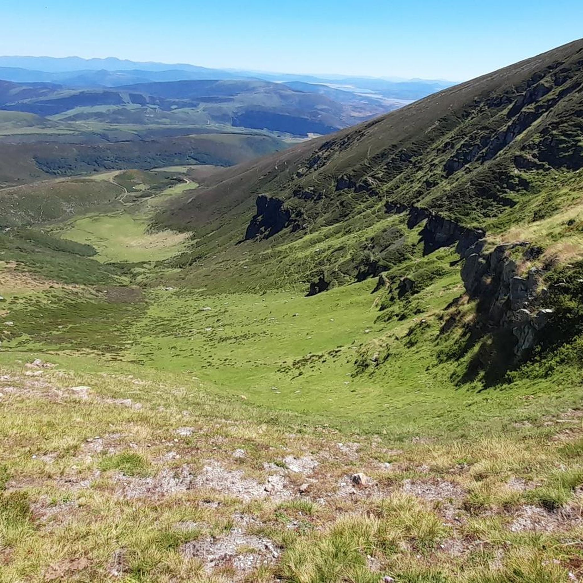
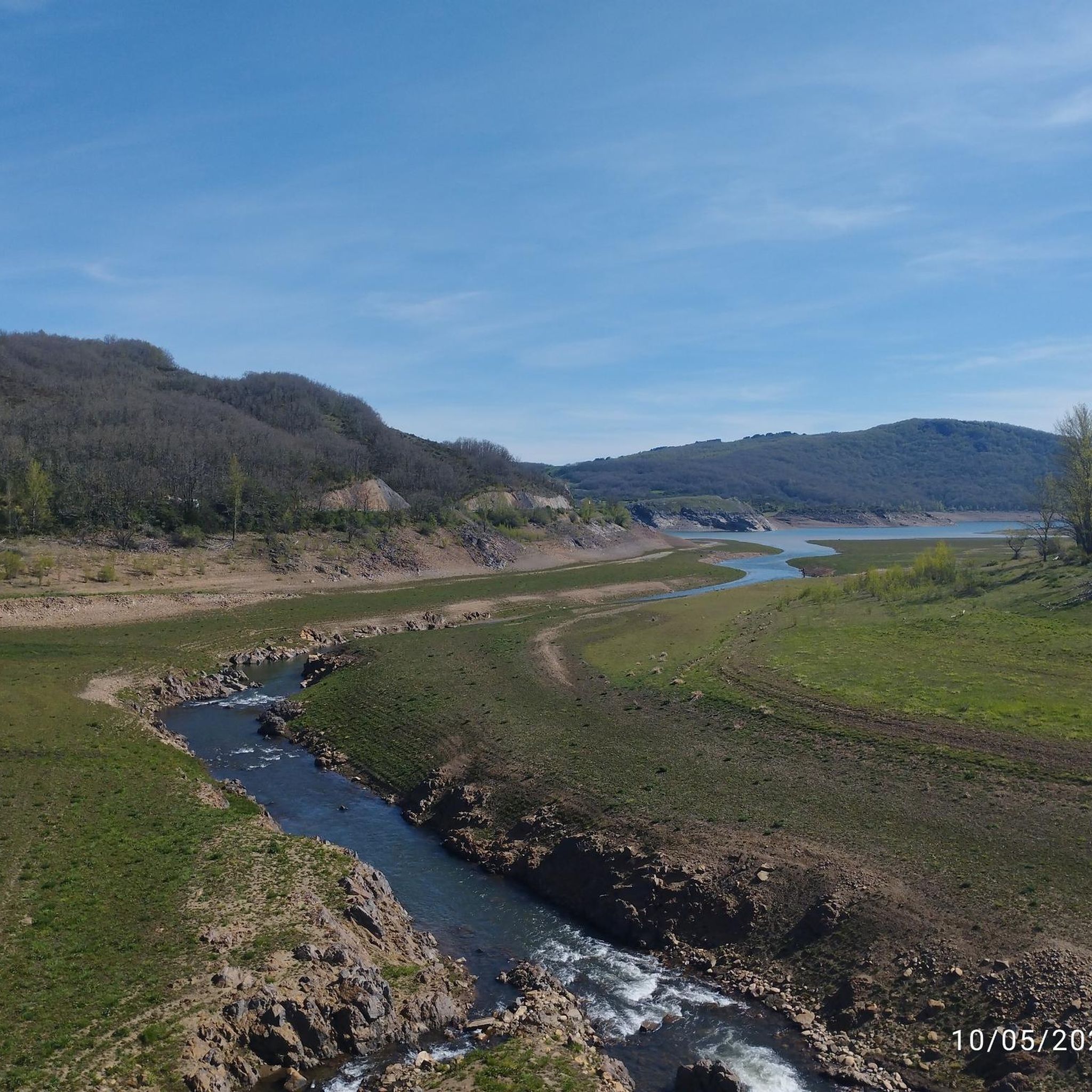
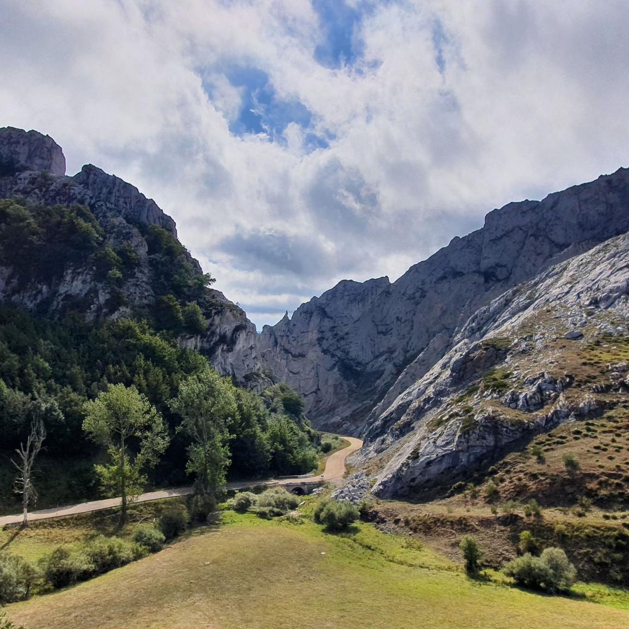
Hiking in Sierra Del Cordel, located within the Cantabrian Mountains of Spain, offers diverse landscapes and notable peaks. This region, also known as Sierra de Isar, features prominent summits like Cornón (2,125 meters) and Pico Tres Mares, providing extensive views. The area encompasses varied ecosystems, including parts of the Saja-Besaya Natural Park and the Fuentes Carrionas and Fuente Cobre-Montaña de Palencia Natural Park. Its terrain includes scrubland, well-preserved holly groves, and mixed woodlands of oak and beech forests, with the Saja River originating from its slopes.
Best hiking trails in Sierra Del Cordel
- The most popular hiking route is Peña Labra and Pico Tres Mares from the collado de Fuente del Chivo, a 5.3 miles (8.5 km) trail that takes 2 hours 38 minutes to complete. This moderate route offers views towards prominent peaks.
- Another top favourite among local hikers is Tres Mares Peak – Tres Mares loop from Estación de Esquí y Montaña Alto Campoo, an easy 1.8 miles (2.9 km) path. This loop trail explores the area around the Alto Campoo ski resort.
- Local hikers also love the Palombera Pass loop from Puerto de Palombera, a 6.6 miles (10.7 km) trail leading through the Palombera Pass, often completed in about 3 hours 9 minutes.
- Hiking in Sierra Del Cordel is defined by its Cantabrian Mountain peaks, diverse forest types, and river valleys, with routes available for various ability levels.
- The routes in Sierra Del Cordel are highly rated by the komoot community with an average score of 4.4 stars from more than 100 reviews. More than 900 hikers have used komoot to explore Sierra Del Cordel's varied terrain.
Last updated: July 9, 2026
5.0
(3)
26
hikers
8.51km
02:38
320m
320m
Moderate hike. Good fitness required. Easily-accessible paths. Suitable for all skill levels.
4.5
(4)
81
hikers
Easy hike. Great for any fitness level. Easily-accessible paths. Suitable for all skill levels.

Sign up for free
5.0
(1)
9
hikers
10.7km
03:09
310m
310m
Moderate hike. Good fitness required. Easily-accessible paths. Suitable for all skill levels.
5.0
(2)
4
hikers
7.76km
02:37
390m
390m
Moderate hike. Good fitness required. Easily-accessible paths. Suitable for all skill levels.
5.0
(2)
28
hikers
Moderate hike. Good fitness required. Mostly accessible paths. Sure-footedness required.
Get access to more routes and recommendations from other explorers.
Sign up for free
Already have an account?
Our route recommendations are based on thousands of hikes, rides, and runs completed by other people on komoot.
Start today with a free account
Your next adventure awaits.
Login or Signup

Other adventures in Sierra Del Cordel

Tips from the Community

Spectacular views of the eastern massif of Picos de Europa
0
0

Beautiful road from Puetenansa up to there for road bikes, less traffic
1
0

This town is located 640 meters above sea level and surrounded by deciduous forest mountains. Although Los Tojos only has 120 inhabitants, it has a perfect inn to rest your legs after a long walk.
0
0

Viewpoint located in the homonymous hill at more than 1300 meters. From there you can see the Picos de Europa, Peña Labra, the Tres Mares peak, the Cuchillón peak and much more.
2
0
Limestone summit whose classic ascent leaves from the port of Piedrasluengas. This top offers panoramic views of the neighboring mountains such as the Peña Sagra or the Picos de Europa in the distance.
2
0

The Piedrasluengas viewpoint is a perfect place to reach by bike. Located in the heart of the Cantabrian Mountains, in the Fuentes Carrionas and Fuente Cobre-Montaña de Palencia Natural Park, it rises to over 1,300 meters above sea level. The views will leave you speechless. You'll see the Picos de Europa, Peña Labra, Tres Mares, Cuchillón, the Liébana Valley, and the Valdeprado Valley.
2
0

The Palombera pass is a 1st category mountain pass located at the eastern end of the Sierra del Cordel. One of the most beautiful ports in Cantabria with a spectacular landscape.
2
0

At 2029 meters above sea level, the top of Peña Labra is located in a privileged place. It represents the border between the Community of Cantabria and Castilla y León, so to the north you will have impressive views of the Cantabrian interior and the mountains of the Picos de Europa National Park, while to the south you will be able to appreciate another wonderful landscape such as the of the Montaña Palencia Natural Park. Crowning its peak is for the most daring, very technical sectors and not suitable for those who suffer from vertigo, but it has a great reward.
1
0
Frequently Asked Questions
How many hiking trails are available in Sierra Del Cordel?
Sierra Del Cordel offers a wide variety of hiking experiences, with over 40 trails recorded on komoot. These routes cater to different skill levels, from easy strolls to more challenging treks, allowing you to explore the diverse landscapes of the Cantabrian Mountains.
Are there easy hiking trails suitable for beginners in Sierra Del Cordel?
Yes, Sierra Del Cordel has several easy trails perfect for beginners. For instance, the Tres Mares Peak – Tres Mares loop from Estación de Esquí y Montaña Alto Campoo is an easy 1.8-mile (2.9 km) path that explores the area around the Alto Campoo ski resort, offering a gentle introduction to the region's beauty.
What kind of views and natural features can I expect to see while hiking in Sierra Del Cordel?
Hikers in Sierra Del Cordel can expect breathtaking panoramic views, especially from peaks like Cornón (2,125 meters) and Pico Tres Mares. The region is rich in diverse ecosystems, including well-preserved holly groves like the Acebal de Abiada, mixed woodlands of oak and beech, and the headwaters of the Saja River. You'll also find significant natural parks such as the Saja-Besaya Natural Park and parts of the Fuentes Carrionas and Fuente Cobre-Montaña de Palencia Natural Park.
Are there any circular hiking routes in Sierra Del Cordel?
Yes, there are several circular routes available. A popular option is the Palombera Pass loop from Puerto de Palombera, a moderate 6.6-mile (10.7 km) trail that takes you through scenic landscapes around the pass.
Can I hike with my dog in Sierra Del Cordel?
Generally, dogs are welcome on trails in Sierra Del Cordel, but it's always advisable to keep them on a leash, especially in natural park areas or near livestock. The diverse terrain and open spaces make it a great region for exploring with your canine companion, but be mindful of local regulations and wildlife, particularly the brown bear population in protected areas.
Are there family-friendly hiking options in Sierra Del Cordel?
Absolutely. Many of the easier and shorter trails are suitable for families. The varied landscapes offer engaging experiences for children, from exploring woodlands to enjoying open mountain views. Always check the distance and elevation gain to ensure it matches your family's fitness level.
What is the best time of year to go hiking in Sierra Del Cordel?
The best time to hike in Sierra Del Cordel is typically from late spring through early autumn (May to October) when the weather is milder and trails are generally clear of snow. Summer offers pleasant temperatures for higher elevations, while spring and autumn showcase vibrant flora and changing foliage. Winter hiking is possible but requires appropriate gear and experience due to snow and colder conditions.
Where can I find panoramic viewpoints in Sierra Del Cordel?
Sierra Del Cordel is renowned for its stunning viewpoints. Mirador de Piedrasluengas offers breathtaking panoramic vistas of the Picos de Europa, Peña Labra, Tres Mares, and the Liébana and Valdeprado valleys. The Palombera Pass also provides spectacular scenery. Many trails, such as Peña Ciquera from the collado de Piedrasluengas, lead to elevated spots with expansive views.
What do other hikers say about their experience in Sierra Del Cordel?
The hiking routes in Sierra Del Cordel are highly rated by the komoot community, with an average score of 4.4 stars from over 100 reviews. Hikers frequently praise the diverse landscapes, the stunning panoramic views from the peaks, and the tranquility of the natural parks. Many appreciate the variety of trails catering to different abilities.
Are there any specific natural parks or protected areas within Sierra Del Cordel?
Yes, Sierra Del Cordel is an ecologically significant area. It marks the southern boundary of the Saja-Besaya Natural Park and is integrated into the Fuentes Carrionas and Fuente Cobre-Montaña de Palencia Natural Park. These parks protect diverse ecosystems, including valuable biological species like the brown bear, and feature unique flora such as ancient holly groves and peat bogs.
Are there any notable peaks I can hike to in Sierra Del Cordel?
Absolutely. The Sierra Del Cordel boasts several prominent peaks that are popular hiking destinations. The highest is Cornón at 2,125 meters, and other significant summits include Pico Cordel, Cueto Iján, Cueto de la Horcada, Pico Bóveda, and the iconic Tres Mares Peak. Many routes, like Peña Labra and Pico Tres Mares from the collado de Fuente del Chivo, offer access to these impressive summits.
Is public transport available to reach hiking trailheads in Sierra Del Cordel?
Public transport options directly to specific trailheads within Sierra Del Cordel can be limited due to its mountainous and rural nature. It's often more convenient to reach the area by car, especially for accessing more remote starting points. However, some larger towns surrounding the region may have bus services, from which you might need to arrange further transport or a longer walk to reach the trails.
Are there any challenging hikes for experienced trekkers in Sierra Del Cordel?
Yes, for experienced trekkers, Sierra Del Cordel offers challenging routes with significant elevation gains and longer distances. While specific 'difficult' routes are fewer, many moderate trails can be combined or extended to create more demanding adventures, especially those ascending to higher peaks like Cornón or involving longer traverses across the range. There are 4 difficult routes recorded on komoot for this region.
Most popular routes in Sierra Del Cordel
Most popular attractions in Sierra Del Cordel

Get inspired with the komoot mobile app


Explore more
Browse the best Hikes in other regions.
