The best running trails in Alt Pirineu
4.7
(58)
5,167
runners
28
runs
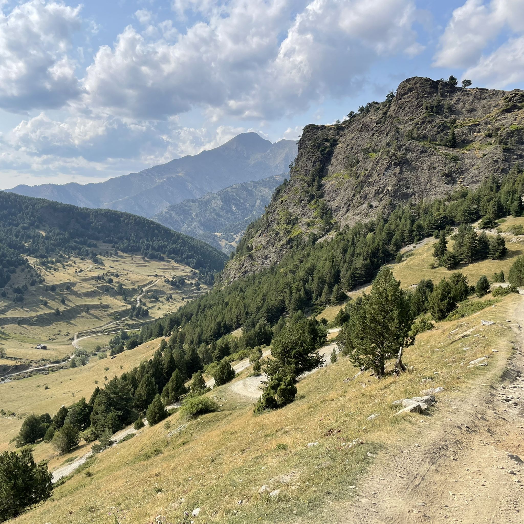
Jogging in Alt Pirineu offers diverse landscapes, from Mediterranean holm oak stands to high alpine meadows. The region is characterized by high peaks, glacial valleys, and numerous glacial lakes, including Certascan Lake. Extensive forests, such as the Virós forest, provide varied terrain for runners. This area features a network of trails suitable for different levels of jogging and trail running.
Best jogging routes in Alt Pirineu
- The most popular jogging route is Running Lago de Gerber from la Peülla —…
Last updated: August 21, 2026
48
runners
Hard run. Very good fitness required. Sure-footedness, sturdy shoes and alpine experience required.
6
runners
11.2km
02:27
1,040m
1,040m
Hard run. Very good fitness required. Sure-footedness, sturdy shoes and alpine experience required.

Sign up for free
3
runners
6.84km
00:50
150m
160m
Moderate run. Good fitness required. Mostly paved surfaces. Suitable for all skill levels.
2
runners
Hard run. Very good fitness required. Mostly paved surfaces. Suitable for all skill levels.
11
runners
Hard run. Very good fitness required. Mostly paved surfaces. Suitable for all skill levels.
Get access to more routes and recommendations from other explorers.
Sign up for free
Already have an account?
Our route recommendations are based on thousands of hikes, rides, and runs completed by other people on komoot.
Start today with a free account
Your next adventure awaits.
Login or Signup
Popular around Alt Pirineu
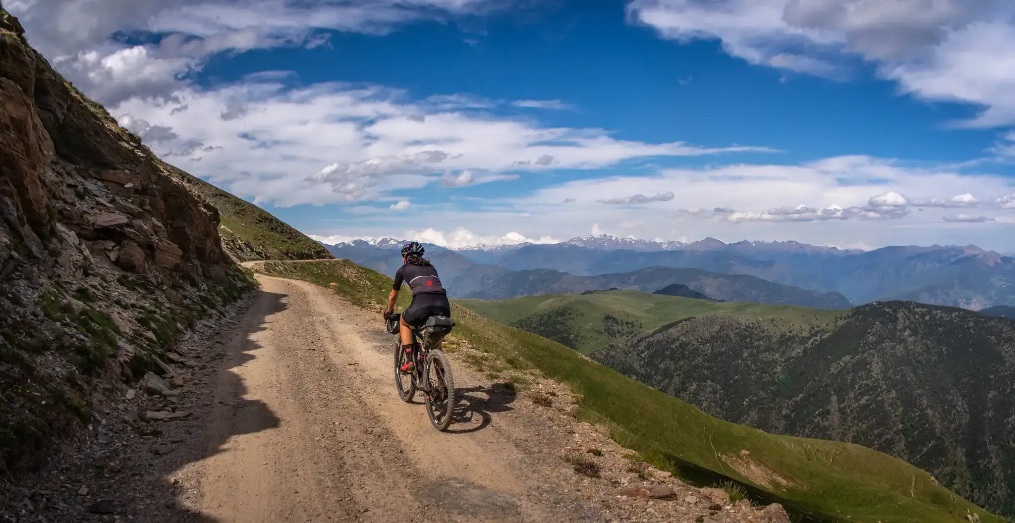
Pedals de Foc – An adventure through the Catalan Pyrenees

Road to Lisbon – bikepacking the Alps, Pyrenees and Picos de Europa

Haute Route Pyrénéenne – Pyrenees Crossing
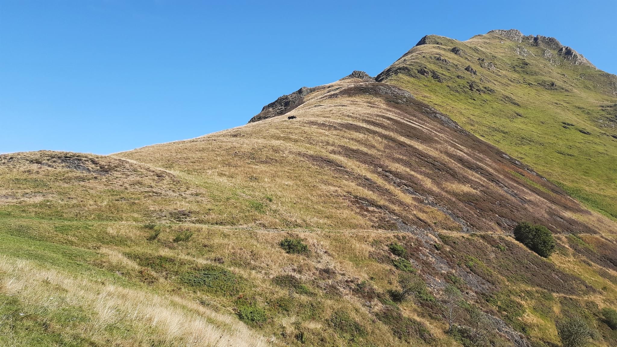
Tour of Mont Valier - The Giant of Ariège

On wild ridges: Catalonia to Ariège – Hexatrek, Eastern Pyrenees

Catalonia and Andorra on the Pyrenean Trail – GR 11
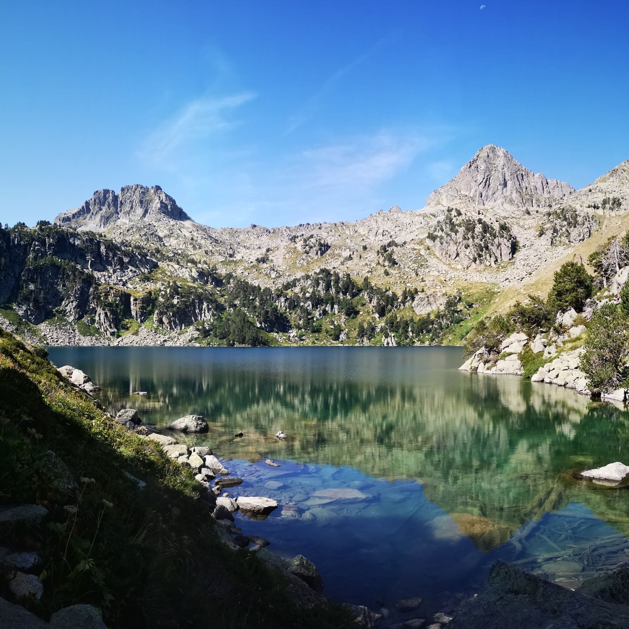
Hiking in Alt Pirineu
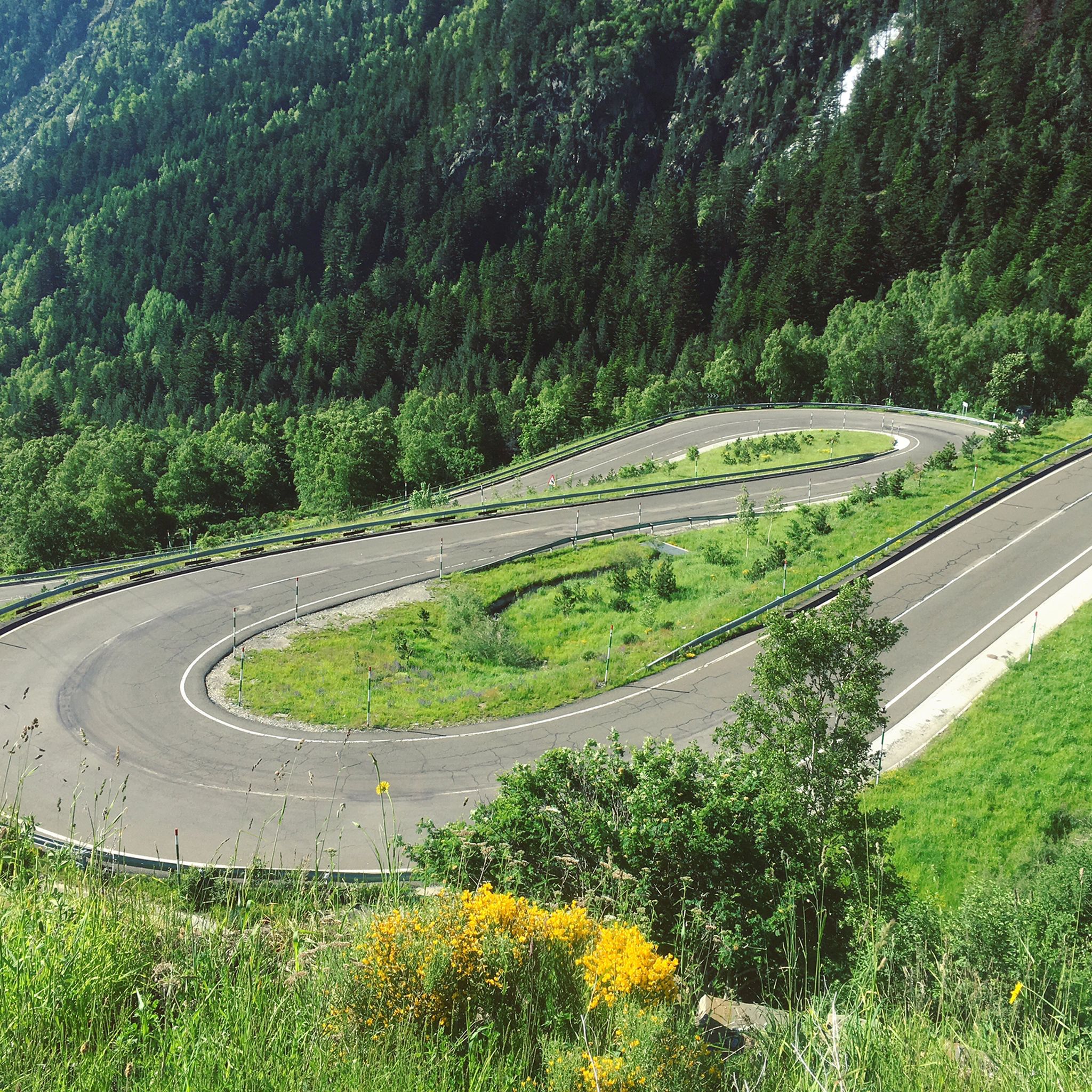
Road Cycling Routes in Alt Pirineu
MTB Trails in Alt Pirineu

Gravel biking in Alt Pirineu
Other adventures in Alt Pirineu


Tips from the Community

The pass summit has been reached. The climb is pleasant!
1
0
The pass summit has been reached
0
0
Poblar de Segur, the pass on the marked beautiful route
0
0

The Comes de Rubió refuge is located at an altitude of 1,980 metres in the Alto Pirineos natural park, in the Pallars Sobirà region. It has 50 places, a dining room with a fireplace and hot showers. It also offers food and drink service and specialises in traditional mountain dishes.
0
0

Ridden from Sort, it’s a good steady climb, with enough small variations in gradient to provide moments of relief. Great bar half way up too. The descent back to Sort is excilerating.
0
1

Gerber Lake is the largest lake in the valley, enclosed by spectacular rock walls. If we want to enjoy a good view of the lake we must ascend a little along the path that goes up on its left side.
0
0

Spectacular harbor with incredible views of Alt Urgell and Pallars Sobirà. From Sort: Long and constant climb that does not forgive but that is allowed to be done. From Adrall: Pending to do it ;)
0
0

Above the 2700 meters high we find this mountain that overlooks the valleys of the Ós de Civís with enormous views of the Massís de la Pica d'Estats. The road that takes us there is high in the mountains, so you have to put your feet well when running.
0
0
Frequently Asked Questions
How many running routes are available in Alt Pirineu?
Alt Pirineu offers a diverse selection of over 25 running routes. These include 8 moderate trails and 18 more challenging routes, catering to various fitness levels and preferences.
What kind of terrain will I encounter on jogging trails in Alt Pirineu?
You'll find a wide variety of terrain, from Mediterranean holm oak stands in lower valleys to black pine and spruce forests, and bright alpine meadows at higher elevations. The region is characterized by high peaks, glacial valleys, and numerous glacial lakes, providing a mix of technical mountain trails and more accessible paths.
Are there any circular running routes in Alt Pirineu?
Yes, there are circular running routes available. For example, the Running Montgosso Circular Itinerary — Alto Pirineo Natural Park is a moderate 4.2-mile (6.8 km) trail that takes about 50 minutes to complete, offering varied terrain within the natural park.
What are some notable natural features or landmarks I might see while running in Alt Pirineu?
The region is rich in natural beauty. You can encounter stunning glacial lakes like Gerber Lake, or experience the grandeur of high peaks such as Pica d'Estats, Catalonia's tallest peak. Many routes also pass through diverse forests, including the emblematic Virós forest, and offer views of alpine meadows and dramatic valleys.
What do other runners enjoy most about the trails in Alt Pirineu?
The running routes in Alt Pirineu are highly rated by the komoot community, with an average score of 4.7 stars from more than 40 reviews. Runners frequently praise the stunning natural beauty, the variety of landscapes from forests to alpine meadows, and the challenging yet rewarding nature of the trails. Over 5000 runners have used komoot to explore this region's diverse terrain.
Are there any running routes that feature significant elevation gain?
Absolutely. Alt Pirineu is known for its mountainous terrain, offering routes with significant elevation gain. A challenging option is Running - Pico de Tudela — Parque Natural del Alto Pirineo, a 7.0-mile (11.2 km) path with over 1000 meters of ascent, providing a strenuous workout and panoramic views.
Can I find any easy jogging routes in Alt Pirineu?
While many routes are moderate to difficult, some areas offer easier paths. The region's extensive trail network includes options with gentler elevation gains, particularly in lower valleys and along pristine rivers. It's best to check individual route details for specific difficulty ratings.
What is the best time of year for jogging in Alt Pirineu?
The best time for jogging in Alt Pirineu generally depends on the elevation. Spring and autumn offer pleasant temperatures for lower and mid-elevation trails, with vibrant flora or stunning fall colors. Summer is ideal for higher alpine routes, as snow has melted, but be prepared for potentially warm weather in valleys. Winter can be challenging due to snow and ice, requiring specialized gear.
Are there any huts or refuges along the running routes in Alt Pirineu?
Yes, the region has several huts and refuges that can be found along or near many trails, offering potential rest stops or overnight stays for longer runs. Examples include Refugi Certascan and Cabaña dels Rasos de Baiasca. These can be particularly useful for multi-day trail running adventures.
What are the options for parking near trailheads in Alt Pirineu?
Parking availability varies by trailhead. Many popular starting points for trails, especially those within Alt Pirineu Natural Park, have designated parking areas. It's advisable to research specific route starting points in advance to confirm parking facilities and any potential fees, particularly during peak seasons.
Are there any long-distance running routes in Alt Pirineu?
Yes, Alt Pirineu features an extensive network of over 1,000 km of marked trails, including long-distance GR trails. For a significant challenge, consider routes like Pico de Salòria loop from Tírvia, which is over 44 km long with nearly 3000 meters of elevation gain, designed for experienced trail runners.
Can I combine my run with visiting a mountain pass?
Many running routes in Alt Pirineu traverse or lead to scenic mountain passes. For instance, you could explore routes near Port del Cantó (1,721 m) or Port de Cabús, which offer breathtaking views and often serve as starting points for higher-altitude runs.
Most popular routes in Alt Pirineu
Most popular attractions in Alt Pirineu

Get inspired with the komoot mobile app


Explore more
Browse the best Running Trails & Routes in other regions.
