The best walks and hikes around Peissen
4.7
(2890)
9,419
hikers
557
hikes
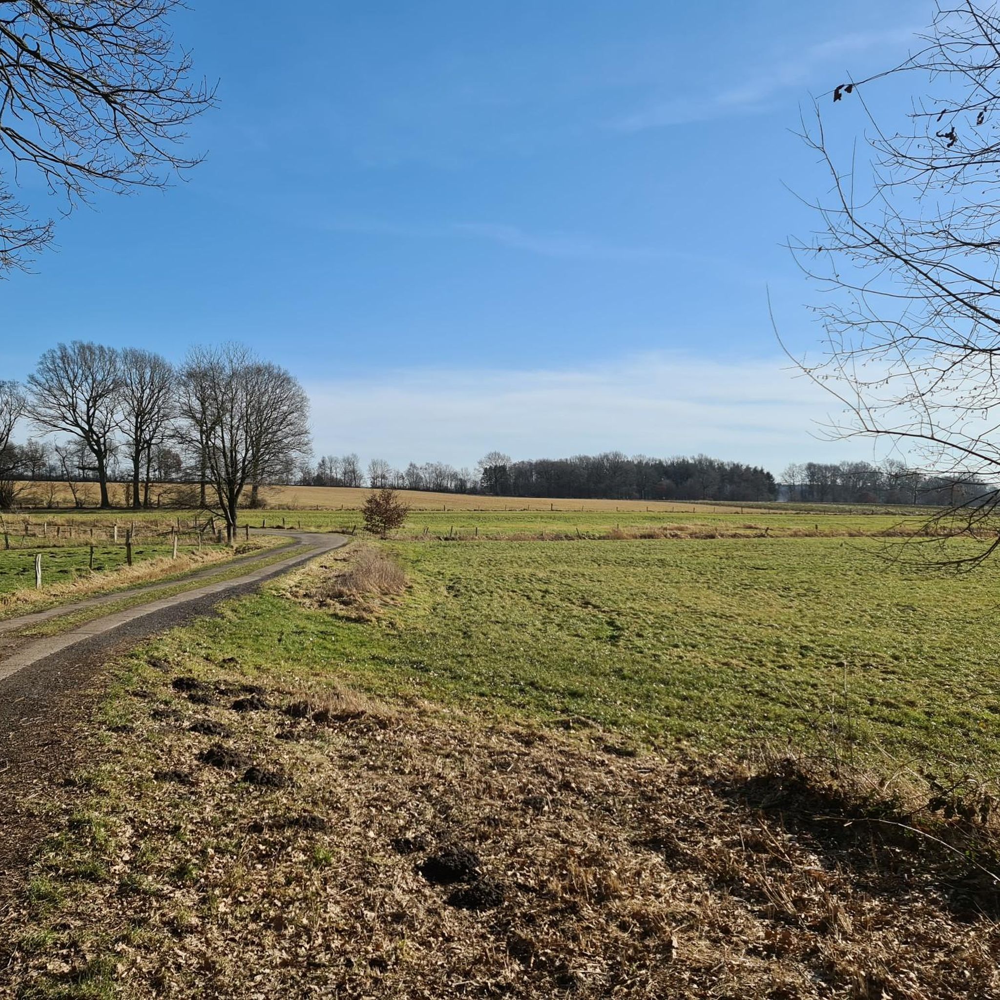
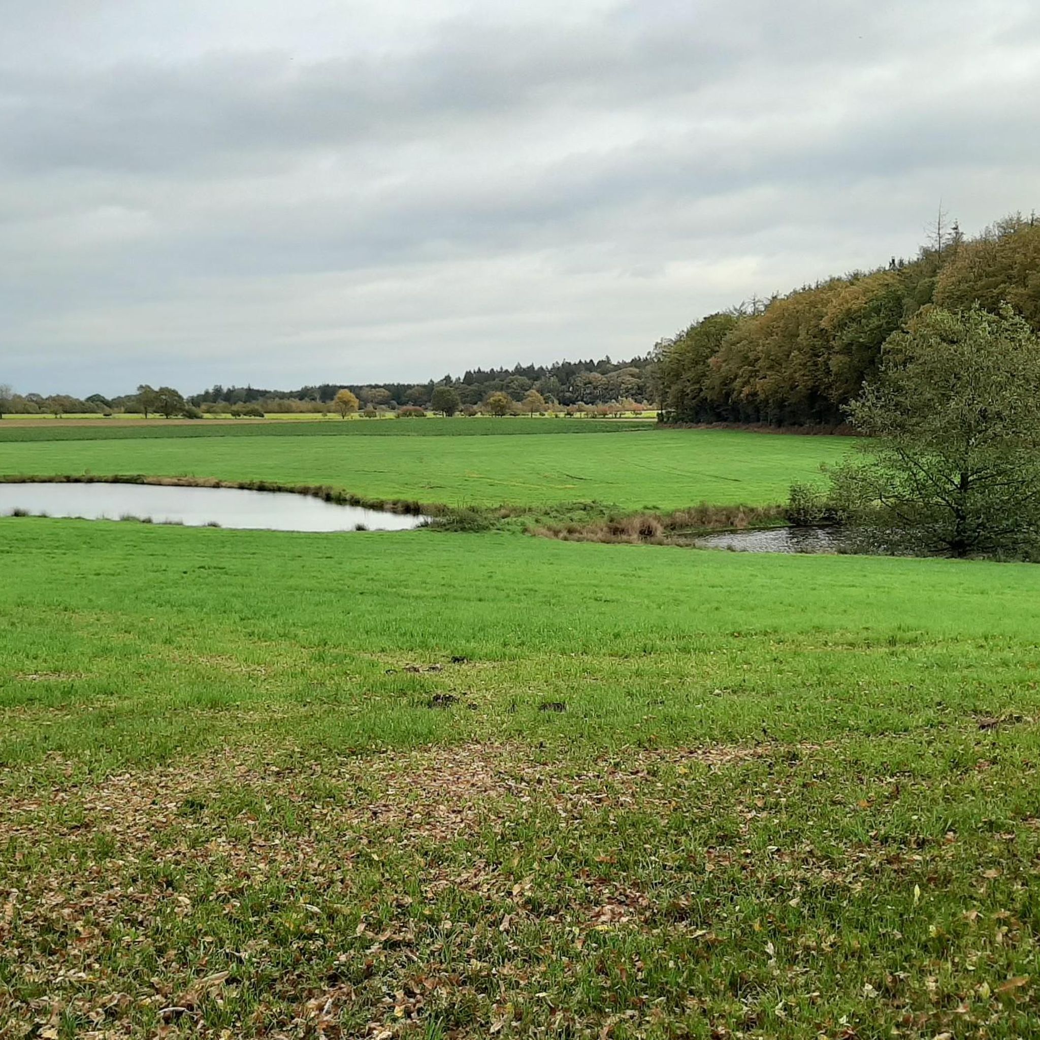
Hiking around Peissen, a municipality in Schleswig-Holstein, offers diverse natural landscapes characterized by rolling hills, expansive meadows, and verdant fields. The region features numerous lakes and the Stör River, providing varied terrain for outdoor activities. These elements create an idyllic setting for exploring the inland areas of Schleswig-Holstein, with topography that includes charming rolling hills and agricultural fields.
Best hiking trails around Peissen
- The most popular hiking route is Picnic Area with Archway loop from Peissen, a 2.5 miles…
Last updated: June 27, 2026
5.0
(1)
4
hikers
Moderate hike. Good fitness required. Easily-accessible paths. Suitable for all skill levels.
4
hikers
Easy hike. Great for any fitness level. Easily-accessible paths. Suitable for all skill levels.

Sign up for free
7
hikers
Easy hike. Great for any fitness level. Easily-accessible paths. Suitable for all skill levels.
4.0
(1)
10
hikers
5.40km
01:22
10m
10m
Easy hike. Great for any fitness level. Easily-accessible paths. Suitable for all skill levels.
4
hikers
Easy hike. Great for any fitness level. Easily-accessible paths. Suitable for all skill levels.
Get access to more routes and recommendations from other explorers.
Sign up for free
Already have an account?
Our route recommendations are based on thousands of hikes, rides, and runs completed by other people on komoot.
Start today with a free account
Your next adventure awaits.
Login or Signup
Tips from the Community

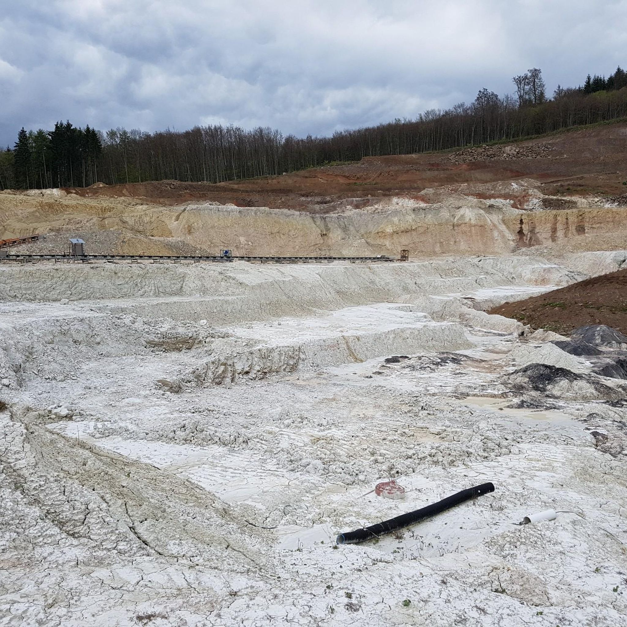
Wikipedia text: The Peissener Loch is a large sinkhole or depression located in the municipality of Peissen in the Steinburg district, classified as a geotope. The depression is the subject of the regional legend of the Peissener Greet (Peissen Greet). The Peissener Loch was formed by the collapse of cavities created during the Eemian interglacial period by the leaching of a salt dome beneath the site.
0
0

What better way to point out that there are people who are there for us when we need help
1
0

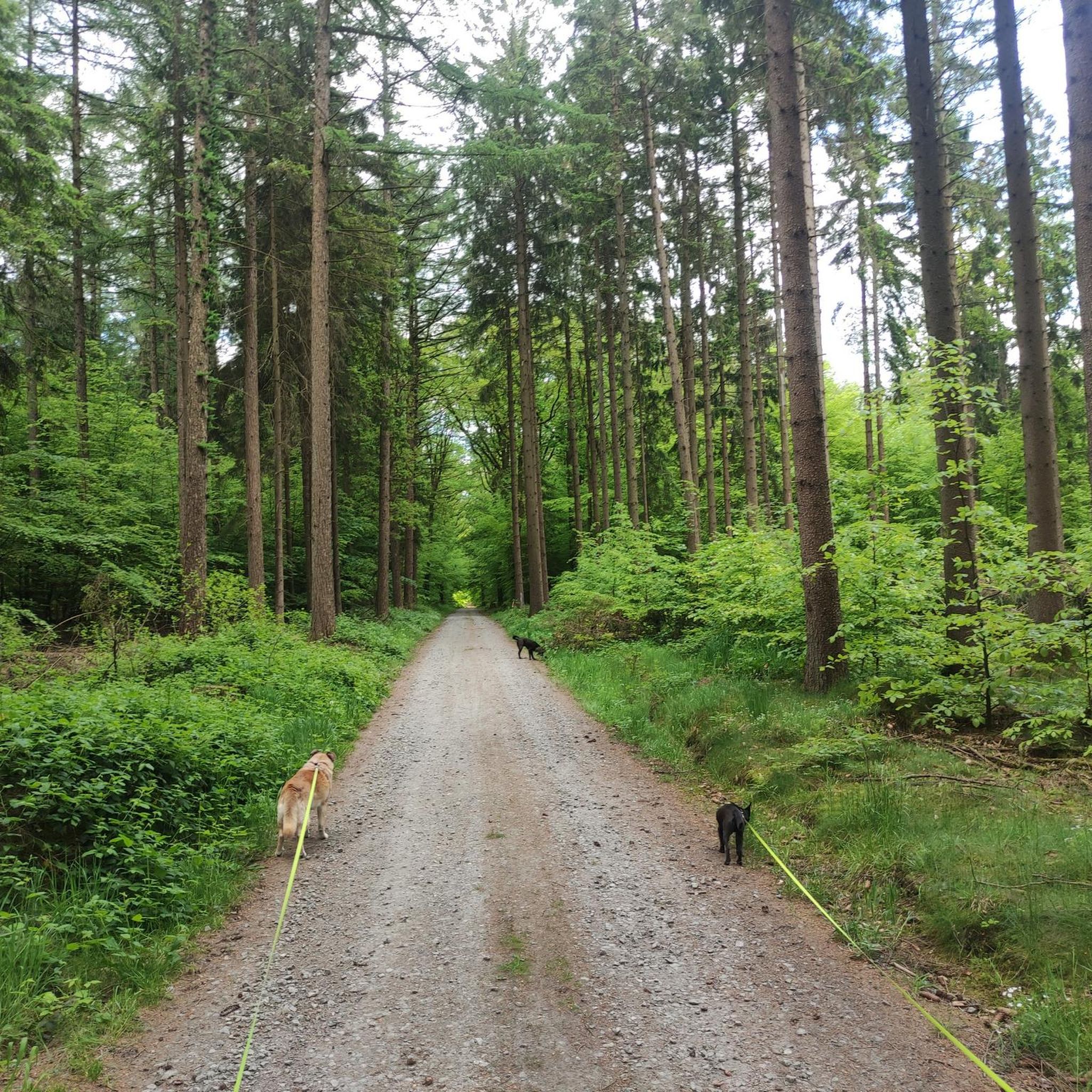
Several fords cross the wide gravel forest path in the Schierenwald. The small bridge is therefore very convenient for hikers.
7
0

A forest where you like to take a break.
0
0

Small shady place with table, bench and "rose arch"
1
0

The Schierenwald is an 821 hectare forest in the Steinburg district in Schleswig-Holstein. A small part of 22.2 ha has been designated as a natural forest cell since 2008 and has not been managed since 1979. The forest area lies in the northern area of the municipality of Hohenlockstedt and is located between the villages of Lockstedt and Silzen. There are large occurrences of amphibians in several bodies of water (common toad, common frog, pond newt, crested newt). The rivers flow either over the Rantzau or the Mühlenbarbeker Au. The forest, which is particularly large and compact for Schleswig-Holstein, is home to older oak and red beech stands, predominantly coniferous forest and mixed coniferous forest stands that are over 100 years old. The forest is a state forest owned by the State of Schleswig-Holstein. Source: https://de.wikipedia.org/wiki/Schierenwald
1
0

It's really exciting
0
0
Yes, actually it reminds of Mini Sweden
0
0
Frequently Asked Questions
How many hiking trails are available in the Peissen region?
The Peissen region offers a wide variety of hiking experiences, with over 560 trails to explore. These routes cater to different preferences, ranging from leisurely strolls to more challenging treks through its diverse landscapes.
What kind of landscape can I expect to see while hiking around Peissen?
Peissen is characterized by its picturesque and varied natural landscape. You'll encounter gentle rolling hills, expansive meadows, and verdant fields. The region is also rich in water features, with numerous lakes and the Stör River adding to its scenic beauty and offering refreshing waterside paths.
Are there easy hiking trails suitable for families or beginners in Peissen?
Yes, Peissen has plenty of easy trails perfect for families or those new to hiking. Over 370 routes are classified as easy. An excellent option is the Picnic Area with Archway loop from Ridders, which is a gentle 2.5-mile (4.1 km) path through the countryside, typically completed in about an hour.
Are there any circular hiking routes in the Peissen area?
Many of the hiking routes in Peissen are designed as loops, allowing you to start and end at the same point. For example, the Lohmühlenteich – Lohmühlenteich loop from Ridders is a moderate 6.7-mile (10.8 km) circular path that offers beautiful waterside views around the Lohmühlenteich.
What are some interesting natural features or landmarks to look out for on the trails?
Peissen's trails often lead you through areas with notable natural and historical features. You can explore the beautiful Lohmühlenteich, or discover the wider pond landscape in Naturpark Aukrug. For a historical touch, some trails align with the ancient Oxen Way (Ochsenweg) or the Via Jutlandica pilgrim route.
What is the best time of year to go hiking in Peissen?
The Peissen region is particularly idyllic and picturesque in spring, when nature awakens with lush greenery and blossoming flora. However, its varied landscapes of rolling hills, meadows, and waterways offer enjoyable hiking experiences throughout the warmer months, from spring through autumn.
Are there any longer, more challenging hikes for experienced trekkers?
While Peissen is known for its gentle landscapes, there are routes that offer a bit more challenge. For instance, the Forest Pond in Naturpark Aukrug – Rantzau Boundary Stone loop from Silzen is a moderate 9-mile (14.5 km) trail with more elevation gain, providing a longer and more demanding experience.
What do other hikers say about the trails in Peissen?
The hiking routes in Peissen are highly regarded by the komoot community, holding an impressive average rating of 4.7 stars from over 2,400 reviews. Hikers frequently praise the region's diverse natural beauty, well-maintained paths, and the tranquility of its pastoral scenery.
Are there any trails that pass by lakes or other water features?
Absolutely. The presence of numerous lakes and the Stör River is a defining characteristic of Peissen. Many trails, such as the Lohmühlenteich – Lohmühlenteich loop from Ridders, offer refreshing waterside views and opportunities to explore diverse aquatic ecosystems.
How long do hikes around Peissen typically take?
Hike durations vary significantly depending on the route and your pace. Shorter, easy walks like the Hiking loop from Silzen (2.6 miles / 4.1 km) can be completed in just over an hour. Moderate trails, such as the Rantzau Boundary Stone – Fords in Naturpark Aukrug loop from Silzen (5.0 miles / 8.1 km), typically take around two hours.
Can I find historical sites or cultural points of interest along the hiking paths?
Yes, Peissen is integrated into historically significant long-distance walking routes. Segments of the ancient Oxen Way (Ochsenweg), dating back to the Bronze Age, and the Via Jutlandica pilgrim walk traverse the region, offering a blend of natural exploration and cultural immersion. You might also encounter historical sites like the Historic Kornspeicher and old farm buildings in Waldhütten.
Most popular attractions around Peissen

Get inspired with the komoot mobile app


Explore more
Browse the best Hikes in other regions.
