The best running trails in Bükki National Park
4.8
(13)
317
runners
39
runs
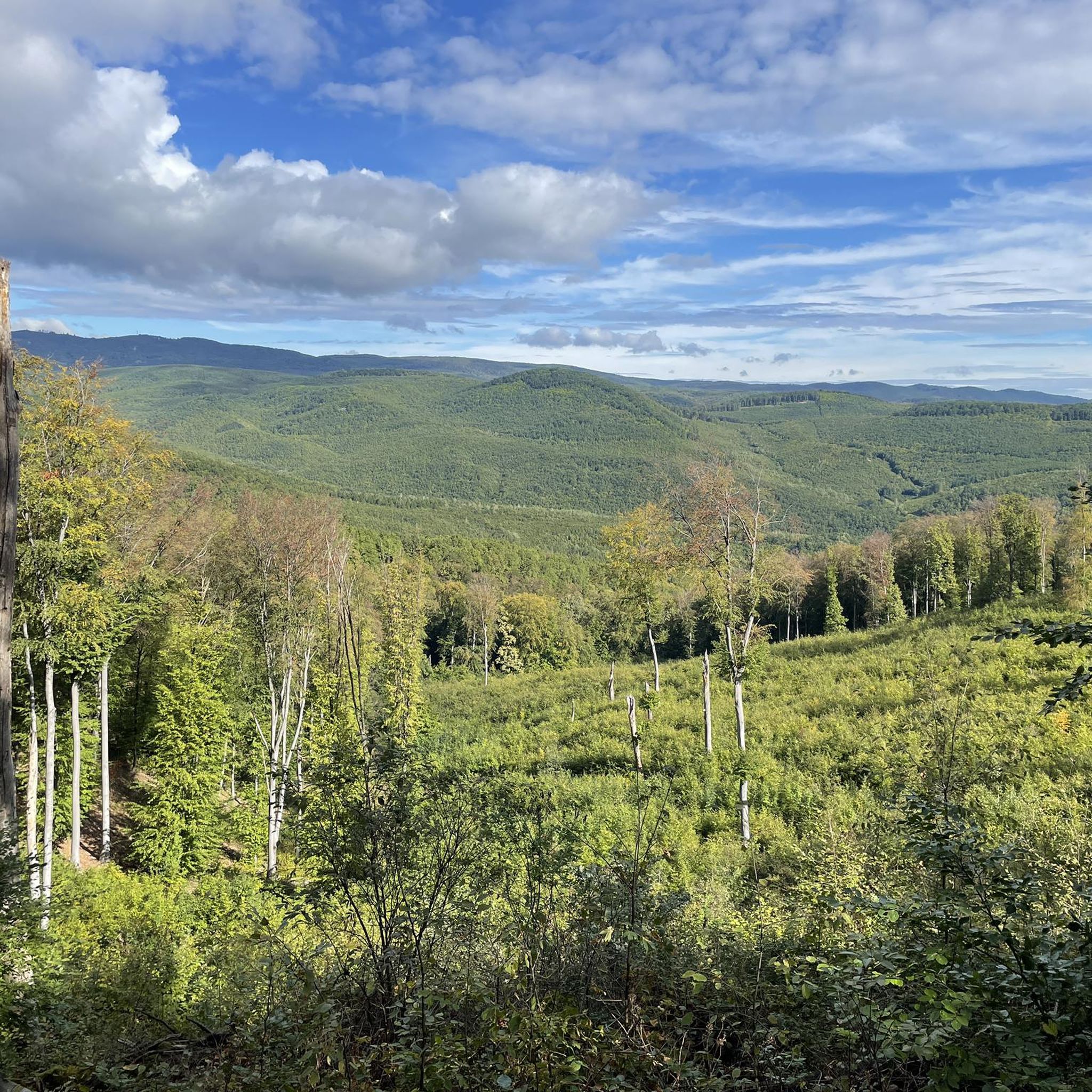
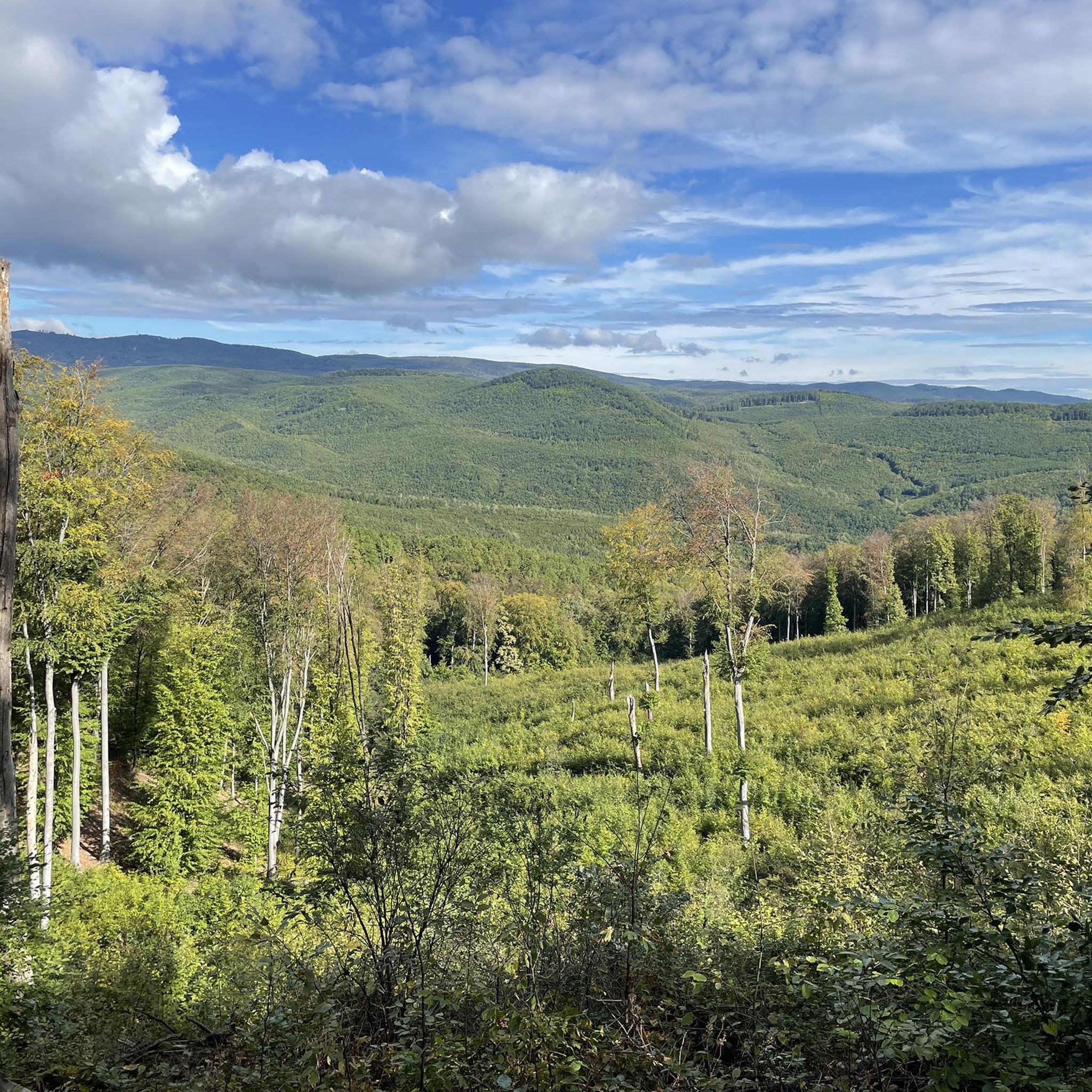
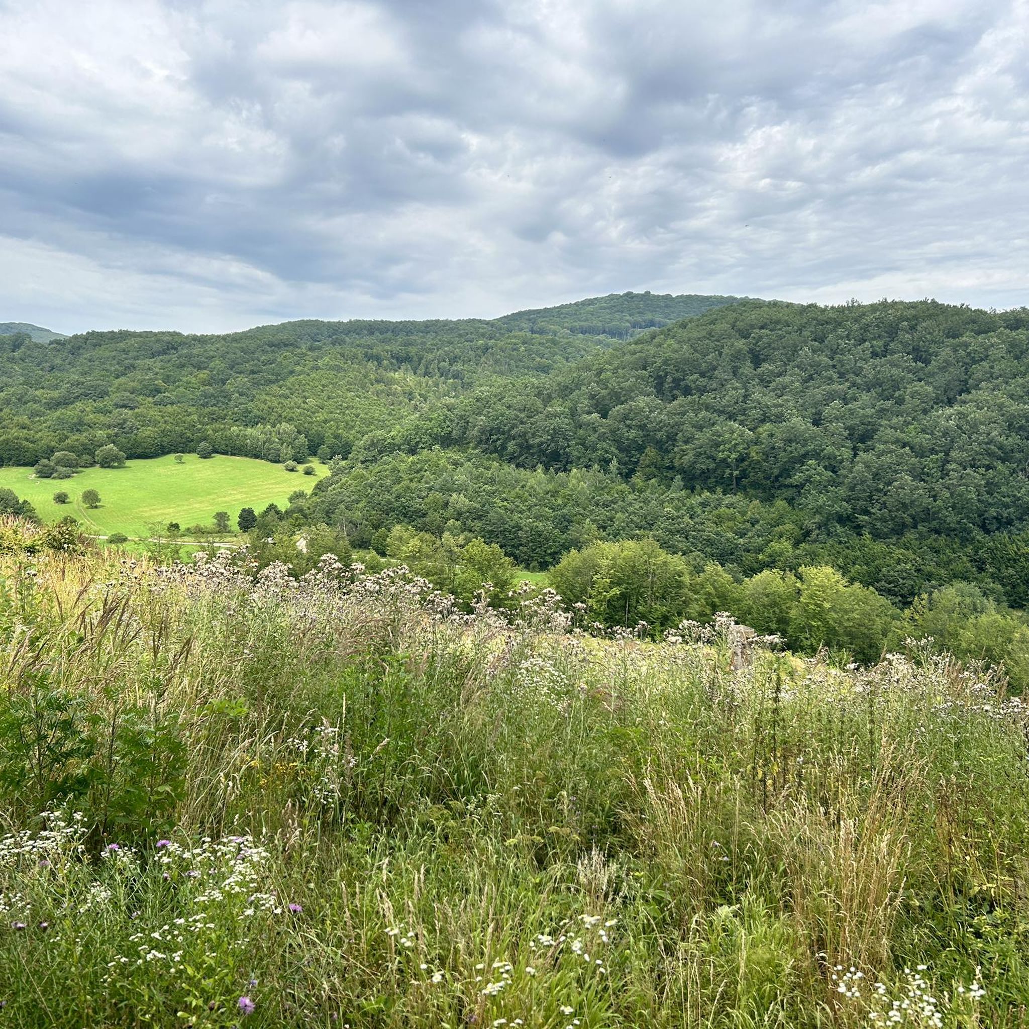
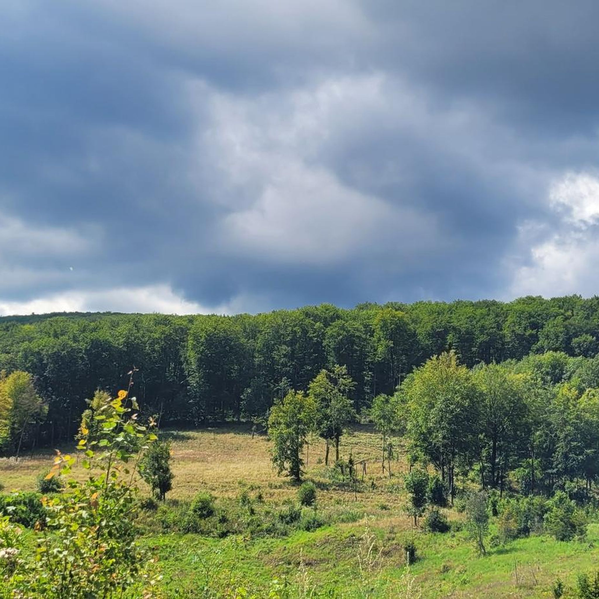
Jogging routes in Bükki National Park traverse Hungary's largest national park, characterized by its extensive forested mountains and diverse topography. The region features undulating trails, significant karst formations, and picturesque water features like waterfalls and lakes. Runners can expect a variety of terrains, from challenging climbs to more moderate paths, all set within a predominantly wooded environment.
Best jogging routes in Bükki National Park
- The most popular jogging route is Attila-kút loop from Felsőtárkány-Fűtőház, an 8.1 miles (13.0 km)…
Last updated: October 18, 2026
5.0
(4)
43
runners
8.27km
00:55
130m
130m
Moderate run. Good fitness required. Mostly paved surfaces. Suitable for all skill levels.
5.0
(1)
23
runners
13.0km
01:53
590m
590m
Hard run. Very good fitness required. Mostly accessible paths. Some sure footedness required.

11
runners
11.0km
01:30
390m
390m
Hard run. Very good fitness required. Mostly paved surfaces. Suitable for all skill levels.
9
runners
15.4km
02:02
580m
580m
Hard run. Very good fitness required. Mostly accessible paths. Some sure footedness required.
9
runners
17.2km
02:15
510m
510m
Hard run. Very good fitness required. Mostly accessible paths. Some sure footedness required.
Get access to more routes and recommendations from other explorers.
Already have an account?
Our route recommendations are based on thousands of hikes, rides, and runs completed by other people on komoot.
Start today with a free account
Your next adventure awaits.

Tips from the Community

The Bükk, and the most beautiful waterfall in our country. Unfortunately, it sometimes dries up. We find it in the Szalajka Valley. It is extremely popular: an asphalt road runs next to it. Anyone who is in the vicinity will surely find it.
0
0

Extensive archaeological work since 2000 has confirmed that people lived in the Szalajka Valley as early as 40,000 years ago. The cave dwellers lived in the Istállós cave and even had contact with other tribes from the valley, some of which lived 500 kilometers away. People also lived in the idyllic valley during the Bronze Age, as evidenced by Celtic relics and an early earthwork. Nevertheless, there were no major settlements within the valley until the Middle Ages, as trade routes were difficult to establish in the heavily forested area. Permanent settlement in the Szalajka Valley began in the 14th century, when people settled in the village of Wárad, now known as Szilvásvárad. The high-quality timber served as a source of urban income even in the Middle Ages, attracting increasing numbers of people to settle there. Later, potash was also extracted from the valley, which ultimately gave the area its current name. Potash means "sal alcali" in Latin, and these words have been incorporated into the Hungarian language. Until the 20th century, the valley was only known regionally. With the construction of the Szilvásvárad narrow-gauge railway, the first tourists arrived to travel to the valley by train. Since the 21st century, however, the Szalajka Valley has become a purely tourist destination, with forestry operations remaining minimal. Source: https://www.urlaub-ungarn.at/sightseeing/natuerliche-sehenswuerdigkeiten-ungarn/szalajka-tal.html
0
0


No special gear required, just a comfortable pair of walking shoes, and your clothing should be adjusted according to the weather. It's essential to carry some water because there are no refreshment options on the way up. A gentle incline leads to the lookout point, promising a fantastic experience!
0
0


Very nice clear clean water. Here you can admire the many fish.
1
0

Frequently Asked Questions
What kind of terrain can I expect on running routes in Bükki National Park?
Bükki National Park offers a diverse range of terrains for runners. You'll find extensive forested areas, undulating mountain paths, and significant karst formations. The trails vary from moderate paths to more challenging routes with considerable elevation gains, providing options for different fitness levels.
Are there any running routes that feature waterfalls or lakes?
Yes, the park is known for its picturesque water features. The Szalajka Valley is famous for its waterfalls, such as Fátyol Waterfall, and you can also find beautiful lakes like Hámori Lake. Many routes incorporate these scenic elements, offering refreshing stops and beautiful views.
What are some notable landmarks or viewpoints I can discover while running?
Runners can enjoy breathtaking vistas from several viewpoints. The View from Fehérkő – Molnár Rock Cross Viewpoint loop from Papírgyár, for example, leads through dense woodlands to panoramic spots. The park also features impressive geological formations like the Istállós-kő Cave and the Diabáz Cave, which contribute to the dramatic scenery.
Are there any family-friendly running trails in Bükki National Park?
While many routes in Bükki National Park feature significant elevation and can be challenging, there are also paths suitable for families looking for a less strenuous run. Look for routes described as 'moderate' in difficulty, which often have more gradual inclines and well-maintained surfaces. The park's extensive trail network ensures options for various abilities.
Can I bring my dog on the running trails in Bükki National Park?
Generally, dogs are welcome on trails in Bükki National Park, but it's always advisable to keep them on a leash to protect wildlife and ensure the safety of other visitors. Please check local regulations or specific trail signage, as some protected areas might have restrictions.
How many running routes are available in Bükki National Park?
Komoot offers over 40 running routes in Bükki National Park. These routes are categorized by difficulty, with 18 moderate and 22 difficult options, ensuring there's a suitable challenge for every runner.
What do other runners enjoy most about jogging in Bükki National Park?
The running routes in Bükki National Park are highly rated by the komoot community, with an average score of 4.7 stars from over 8 reviews. Runners often praise the extensive forests, the varied and challenging mountainous terrain, and the impressive natural features like karst formations and waterfalls.
Are there circular running routes available?
Yes, many of the running routes in Bükki National Park are designed as loops, allowing you to start and finish at the same point. Examples include the Attila-kút loop from Felsőtárkány-Fűtőház and the Szén-hegy – Szarvaskő vára loop from Szarvaskő, which offer varied experiences.
What is the best season for running in Bükki National Park?
The park's lush forests provide excellent shade, making spring and autumn ideal for running with comfortable temperatures and vibrant scenery. Summer can also be pleasant, especially in the shaded wooded areas. Winter running is possible, but trails may be icy or snowy, requiring appropriate gear.
Are there options for parking near the running trailheads?
Yes, many popular trailheads and starting points for running routes in Bükki National Park offer designated parking areas. It's recommended to check the specific route details on komoot for information on parking availability at your chosen starting point.
Can I reach the running trails using public transport?
While some areas of Bükki National Park are accessible by public transport, especially larger towns or villages on its periphery, direct access to all trailheads might be limited. Planning your route in advance and checking local bus schedules is advisable if you intend to use public transport.
Are there any cafes or restaurants near the running routes?
Yes, you can find cafes and restaurants in the villages and towns surrounding or within the national park, such as Lillafüred or Szilvásvárad. These can be great spots for a post-run meal or refreshment. Some routes might pass by or near these establishments.
What kind of elevation gain can I expect on the running routes?
Bükki National Park is characterized by its mountainous terrain, so many running routes feature significant elevation gain. For example, the Restroom at Bükki Nemzeti Park loop from Szalajkavölgy-Lovaspálya includes nearly 700 meters of ascent. Even moderate routes will have some undulating sections, offering a good workout.
Most popular routes in Bükki National Park
Most popular attractions in Bükki National Park

Get inspired with the komoot mobile app


Explore more
Browse the best Running Trails & Routes in other regions.
