The best road cycling routes in the Parahyangan Highlands
4.8
(104)
4,534
riders
217
rides
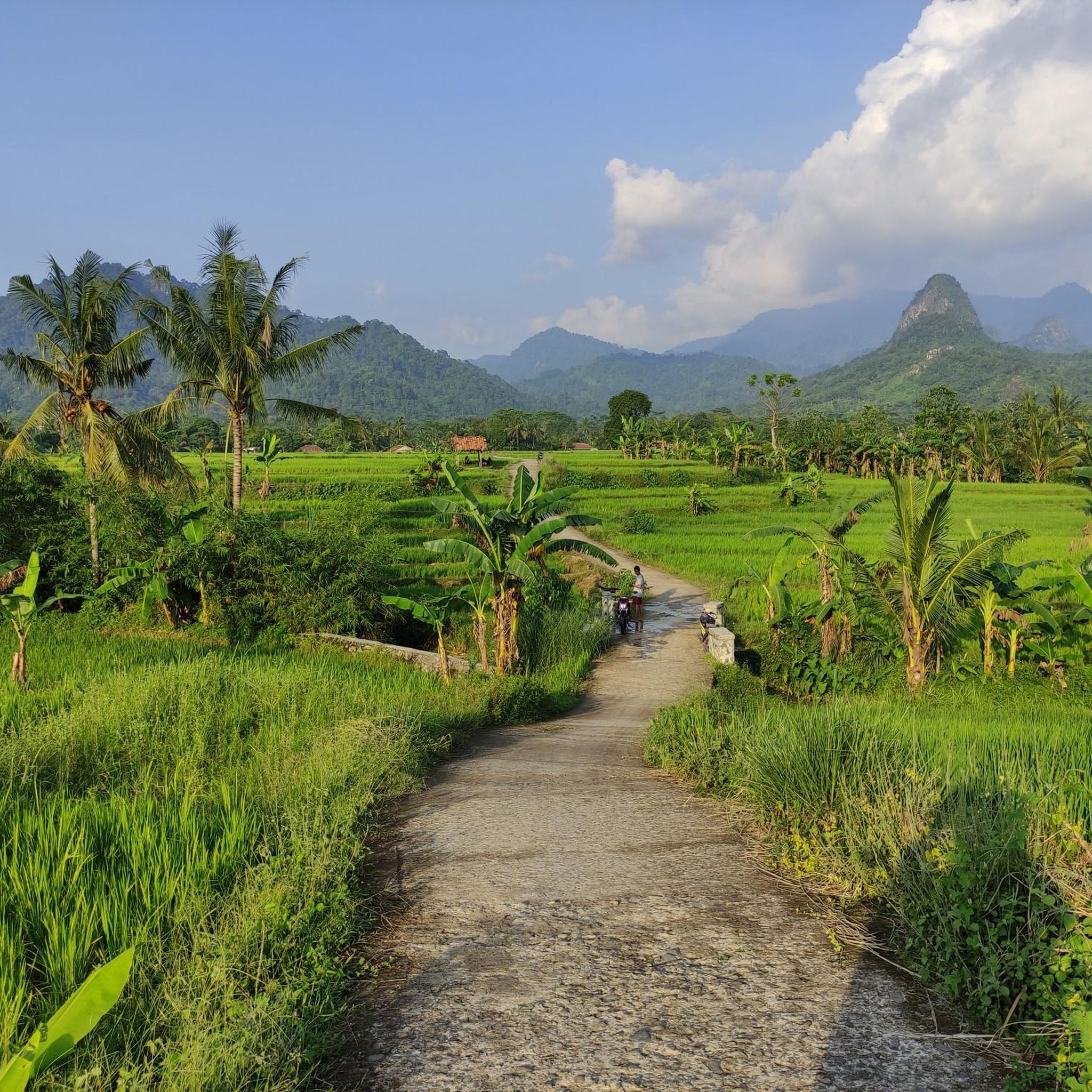
Road cycling in the Parahyangan Highlands offers diverse terrain shaped by its volcanic origins, featuring mountainous landscapes and significant elevation changes. The region is characterized by lush greenery, dense forests, and expansive tea plantations, providing varied backdrops for rides. Cyclists encounter both challenging climbs through mountain passes and scenic routes along river valleys. The topography supports a range of road cycling experiences, from moderate loops to demanding excursions with substantial elevation gains.
Best road cycling routes in the Parahyangan Highlands
…Last updated: July 10, 2026
5.0
(2)
245
riders
51.7km
03:01
1,150m
1,150m
Hard road ride. Very good fitness required. Mostly well-paved surfaces and easy to ride.
5.0
(8)
197
riders
28.2km
01:36
550m
550m
Moderate road ride. Good fitness required. Mostly well-paved surfaces and easy to ride.

Sign up for free
5.0
(4)
163
riders
58.0km
02:50
710m
710m
Moderate road ride. Good fitness required. Mostly well-paved surfaces and easy to ride.
5.0
(1)
75
riders
141km
07:30
2,250m
2,250m
Hard road ride. Very good fitness required. Mostly well-paved surfaces and easy to ride.
105
riders
36.1km
02:02
460m
460m
Moderate road ride. Good fitness required. Some segments of this route may be unpaved and difficult to ride.
110
riders
96.7km
04:57
1,360m
1,360m
Hard road ride. Very good fitness required. Mostly well-paved surfaces and easy to ride.
97
riders
Moderate road ride. Good fitness required. Mostly well-paved surfaces and easy to ride.
5.0
(2)
81
riders
51.5km
02:05
250m
250m
Moderate road ride. Good fitness required. Mostly well-paved surfaces and easy to ride.
5.0
(1)
69
riders
68.3km
04:16
1,740m
1,740m
Hard road ride. Very good fitness required. Mostly well-paved surfaces and easy to ride.
69
riders
21.4km
01:12
450m
450m
Moderate road ride. Good fitness required. Mostly well-paved surfaces and easy to ride.
Get access to more routes and recommendations from other explorers.
Sign up for free
Already have an account?
Our route recommendations are based on thousands of hikes, rides, and runs completed by other people on komoot.
Start today with a free account
Your next adventure awaits.
Login or Signup
Other adventures in the Parahyangan Highlands

Tips from the Community

Spot paling keren di spot Pasir Khiyang. Sayangnya mulai ada warung yang ngalangin pemandangan.
0
0
Enak buat Sholat, sekalian rehat setelah nanjak-nanjak. Airnya super duper edan dingin banget jooww‼️
0
0

At SMA 1, there are large, shady trees which are suitable as photo spots or places to take a short break.
0
0


This shorthand for "pinggir tembok singletrack" can be a shortcut if you're coming from Punclut/Citra Green and want to go straight to Dagi Pojok or Cisitu Lama without having to face the wall-like incline before Dago Terminal. However, this route can sometimes be crowded with motorcycles. Be careful when passing each other. The road is narrow. If it's quiet, just rev up. The route is truly peaceful, with lots of trees!
0
0

A semi-glamping camping site that offers a stretch of tea gardens with cool air at an altitude of 1400 meters above sea level, suitable for light and relaxed bike camping.
0
0
A cycling route that is always busy at weekends. Lots of photographers here. Bring your best pose and smile!
0
0
Jalan Sekejati (RSU Pindad, SMAN 12) to Soekarno Hatta is a shortcut that helps get through the super long Kiara Condong traffic light.
0
0
Frequently Asked Questions
How many road cycling routes are available in the Parahyangan Highlands?
The Parahyangan Highlands offer a wide selection of road cycling routes, with over 220 options available on komoot. These routes cater to various skill levels, including easy, moderate, and difficult rides.
What kind of terrain can I expect when road cycling in the Parahyangan Highlands?
The region is characterized by its volcanic origins, offering a dramatic and varied topography. You'll encounter challenging climbs through mountain passes, scenic routes along river valleys, and lush landscapes featuring dense forests and expansive tea plantations. Most surfaces are well-paved, but some longer routes may include unpaved sections.
What is the best time of year for road cycling in the Parahyangan Highlands?
As a tropical rainforest environment, the Parahyangan Highlands generally offer lush conditions year-round. However, the dry season (typically May to September) might provide more consistent weather for cycling, avoiding the heavier rains of the wet season. Always check local forecasts before heading out.
Are there options for less experienced road cyclists in the Parahyangan Highlands?
Yes, the Parahyangan Highlands offer routes suitable for beginners. There are over 60 easy routes available, providing gentler terrain and shorter distances. For example, routes like Rumah Guguk Shortcut loop from Cibogo are considered moderate but offer manageable ascents.
What do other cyclists say about road cycling in the Parahyangan Highlands?
The road cycling routes in the Parahyangan Highlands are highly rated by the komoot community, with an average score of 4.9 stars from over 60 reviews. Cyclists often praise the diverse terrain, stunning volcanic landscapes, and the refreshing atmosphere of cycling through tea plantations and lush greenery.
Are there any waterfalls I can visit along road cycling routes?
Yes, the highlands are home to several beautiful waterfalls. While some require a short hike, Cimahi Waterfall (Rainbow Waterfall) is a notable attraction that can be a refreshing stop. You might also find routes that pass near Curug Aseupan or Dago Waterfall.
What other natural attractions can I explore while cycling in the Parahyangan Highlands?
Beyond waterfalls, you can cycle through expansive tea plantations, such as the scenic Sukawana Tea Plantation. The region's volcanic origins mean dramatic mountain views and opportunities to see active volcanoes like Tangkuban Perahu. The Saguling Dam area also features unique spots like the Surapatin Floating Bridge.
Are there any unique landmarks or viewpoints accessible by road bike?
Yes, you can encounter several unique landmarks. The Surapatin Floating Bridge over the Saguling Dam offers a distinctive scenic point. The historic Cikubang Railway Bridge is another visually striking landmark. Additionally, Paniisan Hill serves as a junction with refreshments, and many routes offer panoramic vistas from mountain passes, such as those found on the Puncak Pass – Handayani Goat Satay loop from Ciliwung.
Are there challenging routes for experienced road cyclists?
Absolutely. The Parahyangan Highlands are known for their demanding excursions. Over 50 difficult routes are available, featuring significant climbs of up to 3,000 feet. Routes like Ciliwung River Gorge – Puncak Pass loop from Ciliwung, with over 3,700 feet of elevation gain, provide a substantial challenge.
Can I find circular road cycling routes in the Parahyangan Highlands?
Yes, many of the road cycling routes in the Parahyangan Highlands are designed as loops, allowing you to start and end at the same point. Examples include the Rumah Guguk Shortcut – Dago Bike Lane loop from Cimahi and the Surend loop from Ciroyom.
Are there family-friendly road cycling options?
While many routes involve significant elevation, some easier sections and flatter areas can be suitable for families or those looking for a more relaxed ride. The H. Juanda Grand Forest Park, for instance, offers accessible paths that could be incorporated into shorter, family-friendly outings.
Where can I find refreshments or cafes along the routes?
You'll find various spots for refreshments, especially in more populated areas or at popular junctions. Paniisan Hill is known for offering cold Cincau, a welcome treat after a climb. Additionally, highlights like BURATA PITSTOP - PASAREAN WARUNG are marked as cafes on komoot, providing convenient stops.
Is parking available for cyclists in the Parahyangan Highlands?
Parking availability varies by starting point. Many routes begin near towns or attractions where public or designated parking might be found. For specific routes, checking the komoot tour details or local information for the starting location is recommended.
Most popular routes in the Parahyangan Highlands
Most popular attractions in the Parahyangan Highlands

Get inspired with the komoot mobile app


Explore more
Browse the best Road cycling routes in other regions.
