The best road cycling routes around Parco Naturale Regionale di Porto Conte
4.4
(221)
5,229
riders
10
rides
Road cycling routes around Parco Naturale Regionale di Porto Conte traverse a diverse landscape of dramatic sea cliffs, wooded hills, and low inland plains. The park, spanning over 5,000 hectares, offers a variety of characteristic environments suitable for road cyclists. Paved roads wind through coastal areas, past rocky coastlines, and into pine forests and Mediterranean scrub. The terrain includes both flat sections and ascents, providing varied experiences for different skill levels.
Best road cycling routes around Parco Naturale Regionale di…
Last updated: October 11, 2026
4.3
(21)
579
riders
41.3km
01:47
250m
250m
Easy road ride. Great for any fitness level. Mostly well-paved surfaces and easy to ride.
4.2
(13)
328
riders
33.1km
01:31
380m
380m
Moderate road ride. Good fitness required. Mostly well-paved surfaces and easy to ride.

4.9
(11)
301
riders
51.1km
02:13
390m
390m
Moderate road ride. Good fitness required. Mostly well-paved surfaces and easy to ride.
4.0
(3)
96
riders
81.1km
04:07
1,250m
1,250m
Hard road ride. Very good fitness required. Mostly well-paved surfaces and easy to ride.
4.0
(1)
55
riders
Moderate road ride. Good fitness required. Some segments of this route may be unpaved and difficult to ride.
Get access to more routes and recommendations from other explorers.
Already have an account?
Our route recommendations are based on thousands of hikes, rides, and runs completed by other people on komoot.
Start today with a free account
Your next adventure awaits.
Popular around Parco Naturale Regionale di Porto Conte
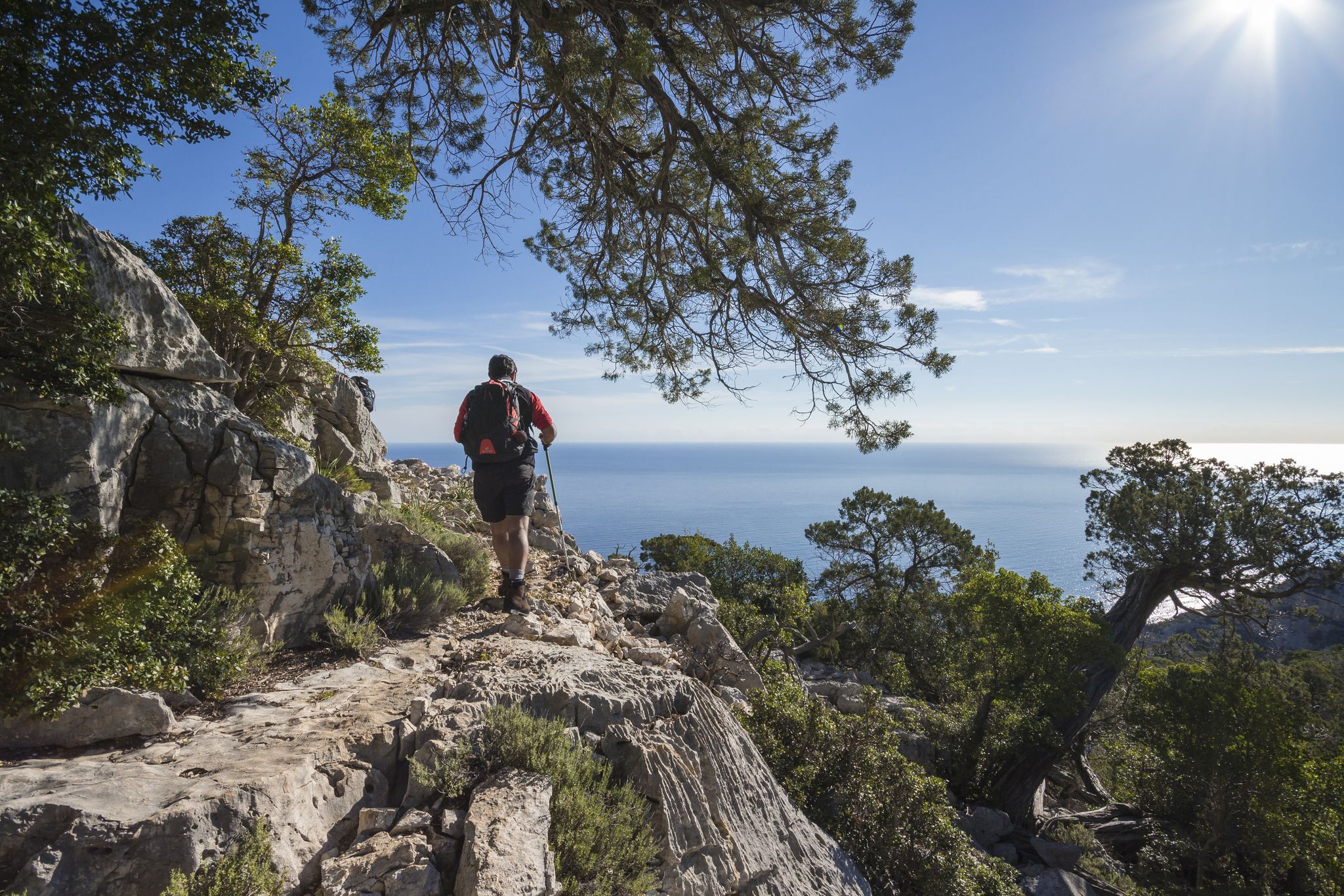
Magnificent Sardinia – day hikes overlooking the sea
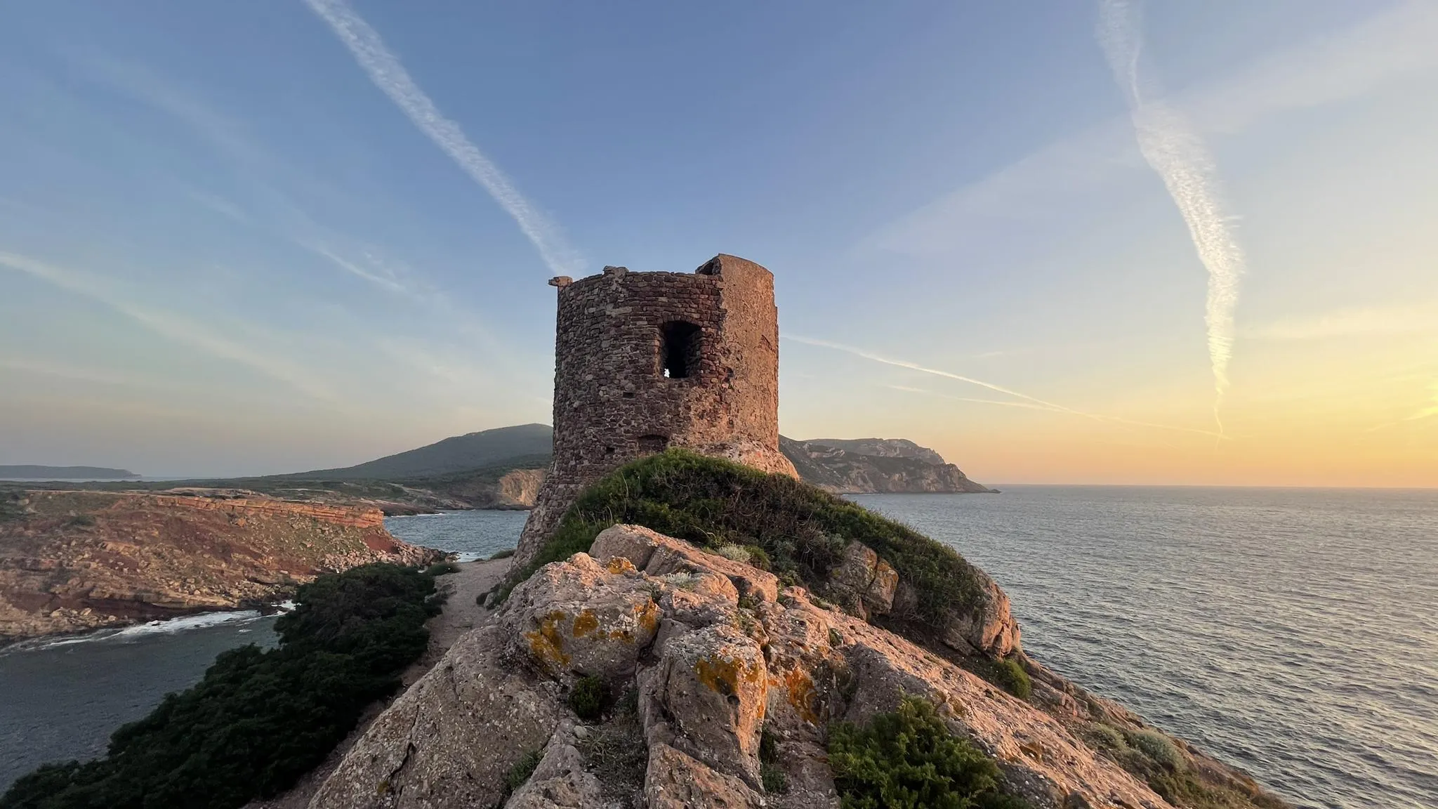
Castelsardo to Bosa Marina on the Via Catalana – Cammino 100 Torri
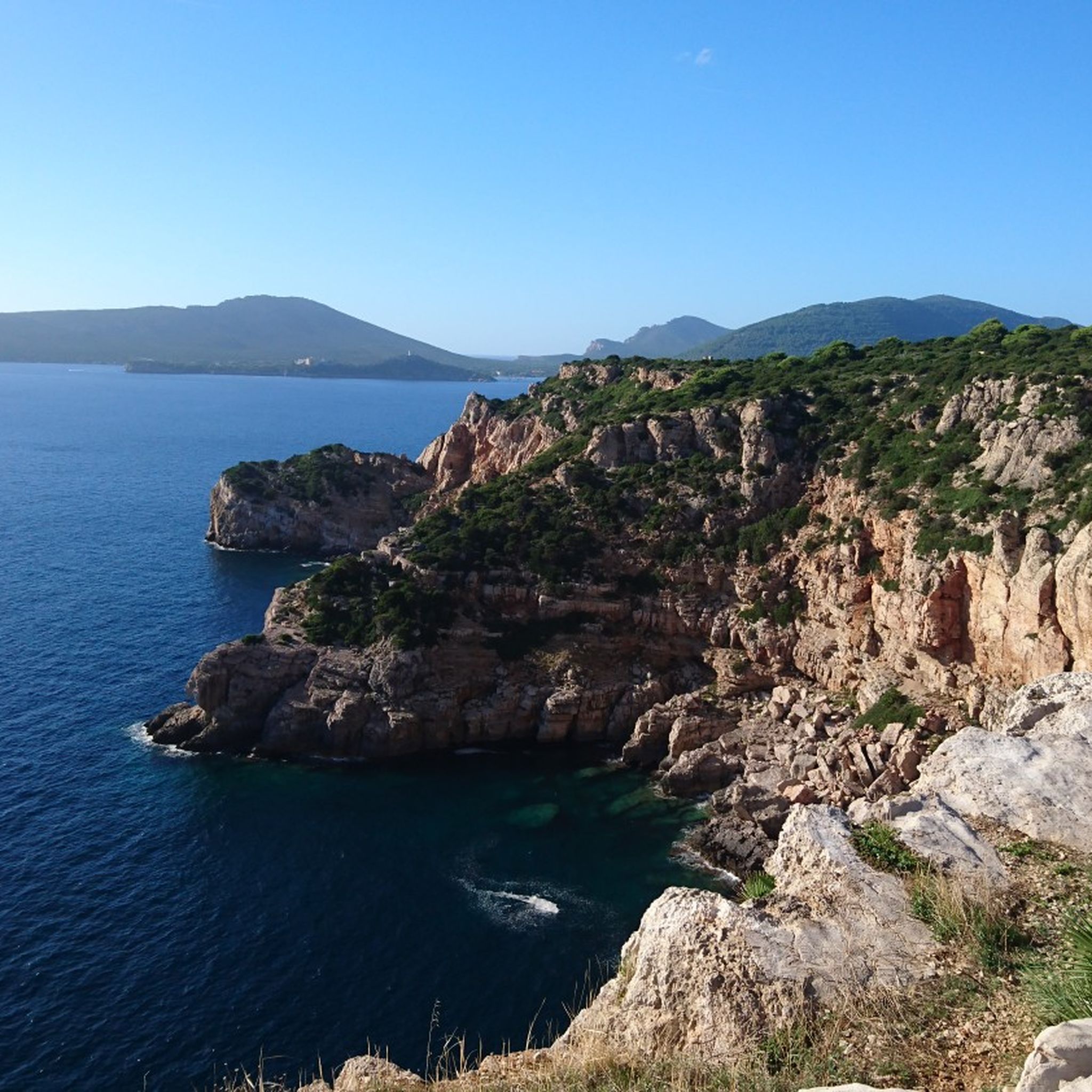
Hiking around Parco Naturale Regionale di Porto Conte
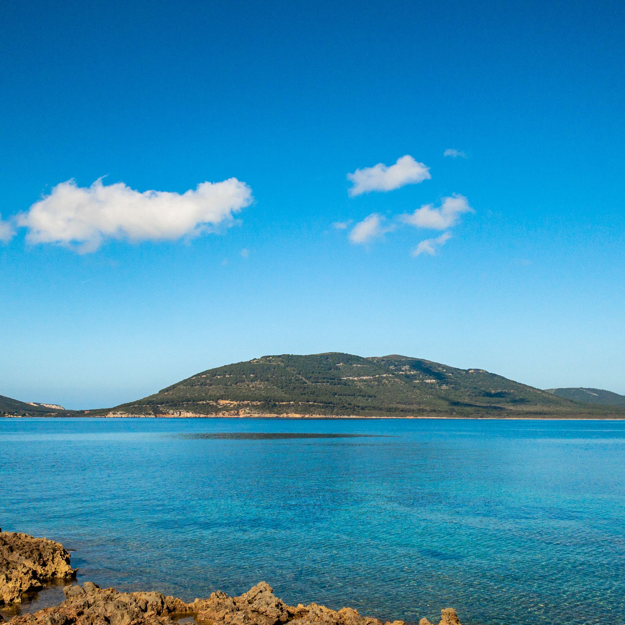
Cycling around Parco Naturale Regionale di Porto Conte
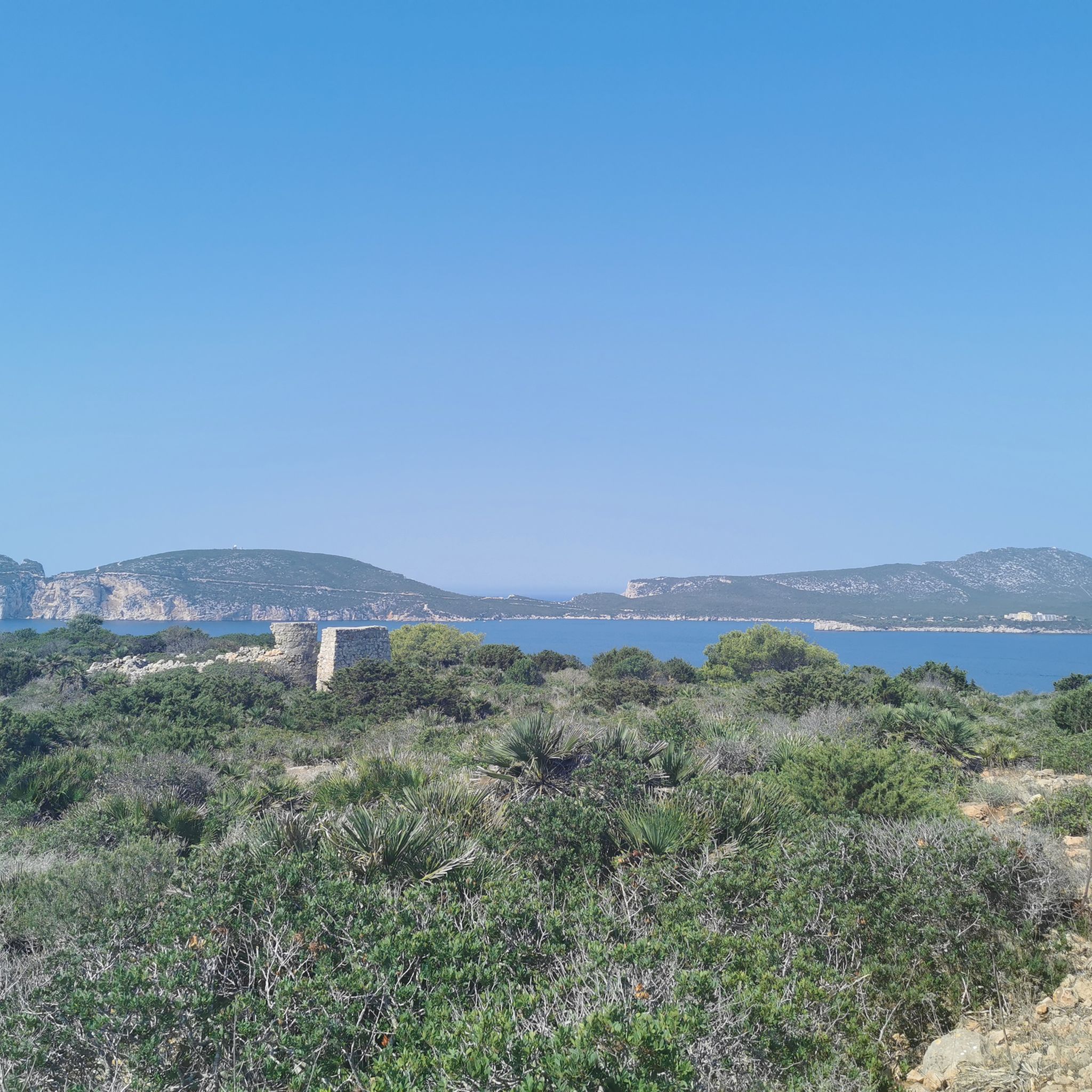
MTB Trails around Parco Naturale Regionale di Porto Conte
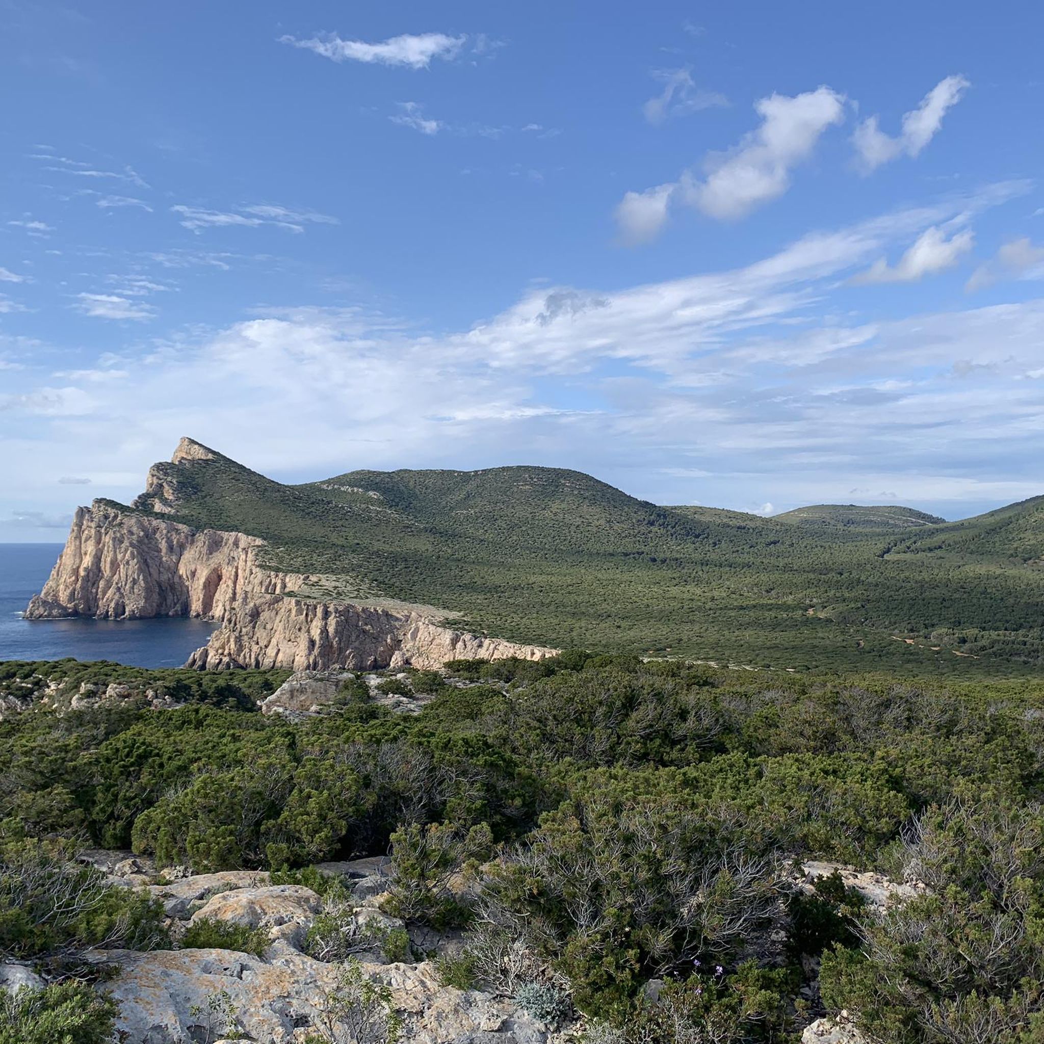
Running Trails around Parco Naturale Regionale di Porto Conte

Gravel biking around Parco Naturale Regionale di Porto Conte
Other adventures around Parco Naturale Regionale di Porto Conte


Tips from the Community

Officially you can’t go to the lighthouse. It’s restricted area for military and personnel.
0
0

Torre di Porta Terra was the main access gate to Alghero and the only passage from the mainland to the walled city. Built at the beginning of the 16th century during the Aragonese rule, it preserves the coat of arms of the Crown of Aragon that originally presided over the entrance. Until the end of the 19th century, its gates were closed every night to control access to the city. Today it houses a tourist information center and is one of the most representative symbols of Alghero's historic center.
8
0

Magnificent views, bring water and suitable footwear. Follow the blue dots on the rocks if the path seems uncertain.
0
0

A paradise place to relax and the beach bar is also great
1
0
Cala Dragunara is a lovely little cove. The small bar/restaurant has a friendly owner, good service, good food, quiet guests, and a picture-perfect panorama! All in all, a place to relax 😎
1
0

The grotto is one meter above sea level at the foot of a 110 meter high steep rock face and can only be visited when the sea is calm. It can be reached via a staircase with 654 steps in the almost vertical cliff, the Escala del Cabirol (German: deer ladder). Alternatively, you can take a less strenuous boat tour from Alghero or a nearby car park. Only a few hundred meters of the extensive, approximately four-kilometer-long cave system are accessible to the public. As part of a guided tour, you can view stalactite formations, calcareous sinter deposits and a small, approximately 120-meter-long saltwater lake that is connected to the sea. Explanations are given via permanently installed loudspeakers in Italian, English and German.
3
1
The Grotte di Nettuno (Neptune's Grotto) is a stalactite cave near Alghero in the metropolitan city of Sassari on the Italian island of Sardinia, near Capo Caccia, around which a maritime protected area extends.
2
0

If you want to visit the grotto, make sure you reserve in advance!!!
2
1
Frequently Asked Questions
How many road cycling routes are available in Parco Naturale Regionale di Porto Conte?
There are nearly 100 road cycling routes in Parco Naturale Regionale di Porto Conte, offering diverse experiences for all skill levels. The komoot community has explored over 97 routes in the area.
What are the difficulty levels of road cycling routes in the park?
The routes cater to various abilities: approximately 21 are easy, 46 are moderate, and 30 are considered difficult. This variety ensures that both beginners and experienced cyclists can find suitable challenges.
What kind of terrain can I expect when road cycling in Parco Naturale Regionale di Porto Conte?
You can expect a diverse landscape featuring dramatic sea cliffs, wooded hills, and low inland plains. Routes often include paved roads winding through coastal areas, past rocky coastlines, and into pine forests and Mediterranean scrub. The terrain varies from flat sections to ascents, providing a dynamic cycling experience.
What do other road cyclists enjoy most about cycling in Parco Naturale Regionale di Porto Conte?
The area is highly rated by the komoot community, with an average score of 4.5 stars from over 180 reviews. More than 4000 road cyclists have used komoot to explore the varied terrain, often praising the stunning coastal views and the blend of challenging and leisurely routes.
Are there any easy or family-friendly road cycling routes?
Yes, there are several easy routes suitable for beginners or families. For instance, the Alghero – Bastione della Maddalena loop from Fertilia is an easy 9.5-mile (15.2 km) path with gentle elevation changes and views of the Alghero coastline. Another easy option is the Roman Bridge – Porta Terra's tower loop from Tramariglio, which is 25.9 miles (41.7 km) and offers views of historical landmarks and coastal scenery.
Are there challenging road cycling routes for experienced cyclists?
Absolutely. For experienced cyclists seeking a challenge, routes like the Roman Bridge – View over Alghero loop from Tramariglio offer significant elevation gain over its 54.9 miles (88.4 km) distance, leading through varied inland and coastal landscapes.
What natural features and landmarks can I see while cycling in the park?
Road cycling routes often provide breathtaking views of the Capo Caccia Cliffs, which reach heights of 168 meters. You might also pass by historical watchtowers like Torre del Buru, offering spectacular views of the bay. The park is also home to diverse flora, including captivating pine forests and Mediterranean scrub.
Are there any notable attractions or points of interest along the road cycling routes?
Yes, beyond the natural beauty, you can encounter several attractions. The impressive Capo Caccia Cliffs are a major viewpoint and the starting point for the famous Neptune's Grotto. You might also spot the Porto Conte Lagoon or the Calich Lagoon, both offering scenic views.
What is the best time of year to go road cycling in Parco Naturale Regionale di Porto Conte?
The temperate Mediterranean climate ensures mild temperatures and sunny days for much of the year, making the cycling season quite long. Spring and autumn are particularly pleasant, offering comfortable temperatures and vibrant landscapes without the peak summer heat.
Are there circular road cycling routes available?
Many routes in the park are designed as loops, allowing you to start and end at the same point. Examples include the Torre della Pegna – View of Capo Caccia loop from Santa Maria La Palma and the Solitary Road of the Nurra – Pozzo San Nicola Roundabout loop from Grotta di Nereo.
Is there parking available for cyclists near the routes?
While specific parking areas for cyclists are not detailed for every route, the park is generally accessible. Many starting points for routes, especially those originating from towns like Tramariglio or Fertilia, will have public parking options nearby. It's advisable to check local parking regulations for your chosen starting point.
Are there places to stop for refreshments or services along the routes?
Yes, the park offers some facilities. The headquarters at Casa Gioiosa in Tramariglio serves as a cycle-tourism hub, offering bike maintenance and rentals. Additionally, the Rifugio di Mare is a popular point of interest within the park where cyclists can stop during their tours for a break.
Most popular routes around Parco Naturale Regionale di Porto Conte
Most popular attractions around Parco Naturale Regionale di Porto Conte

Get inspired with the komoot mobile app


Explore more
Browse the best Road cycling routes in other regions.
