Routes

Planner

Features

Updates

App

Login or Signup

Get the App

Login or Signup

Routes
Hikes
Italy
Piedmont
Torino

Natural Park Orsiera - Rocciavre'

Routes
Hikes
Italy
Piedmont
Torino

Natural Park Orsiera - Rocciavre'

The best walks and hikes around Natural Park Orsiera - Rocciavre'
4.4

(5026)

25,155

hikers

83

hikes

Hiking around Natural Park Orsiera - Rocciavrè offers trails through alpine landscapes in western Piedmont, situated within the Cottian and Graian Alps. The terrain features glacial formations such as moraines and U-shaped valleys, with elevations reaching Monte Orsiera at 2,890 meters. Coniferous forests of larches and firs dominate higher altitudes, while lower areas contain beeches and oaks. The park includes numerous alpine lakes, providing varied scenery for hikers.

Best hiking trails around Natural Park Orsiera - Rocciavrè

  • The most popular hiking route is Franks' Trail: Rifugio Amprimo Loop, an easy 2.5 miles (4.1 km) trail that takes 1 hour 17 minutes to complete. This route offers a gentle walk to a mountain hut.
  • Another top favourite among local hikers is Forest hike to Rifugio Amprimo (via Route 513), a moderate 3.9 miles (6.2 km) path. This trail leads through forest to Rifugio Amprimo.
  • Local hikers also love the Lago Laus and Colle Superiore di Malanotte Trail (No. 339), a 3.9 miles (6.4 km) trail leading through alpine terrain to Lago Laus, often completed in about 3 hours 32 minutes.
  • Hiking around Natural Park Orsiera - Rocciavrè is defined by alpine lakes, extensive coniferous forests, and historical military roads. The network offers options for easy family walks, moderate forest trails, and challenging multi-day treks.
  • The routes in Natural Park Orsiera - Rocciavrè are highly rated by the komoot community with an average score of 4.5 stars from more than 1200 reviews. More than 7000 hikers have used komoot to explore Natural Park Orsiera - Rocciavrè's varied terrain.

Last updated: July 7, 2026

4.7

(30)

235

hikers

#1.

Franks' Trail: Rifugio Amprimo Loop

4.06km

01:17

150m

160m

Embark on Franks' Trail: Rifugio Amprimo Loop, an easy hike that guides you through a lovely wooded environment. You will pass through forests of beech and silver firs, with potential glimpses of Rocciamelone as you approach Rifugio Amprimo. This loop covers 2.5 miles (4.1 km) with an elevation gain of 506 feet (154 metres), and you can typically complete it in about 1 hour and 17 minutes.

To begin your adventure, head to Lago delle Rane, where you will find an equipped area with convenient parking. This makes access straightforward for anyone planning a visit. The trail is well-maintained and suitable for a wide range of hikers, including families with small children, ensuring a pleasant experience for everyone.

This route is part of the historical Sentiero dei Franchi, adding a layer of cultural significance to your walk. As you hike, keep an eye out for alpine frogs near Lago delle Rane, also known as Frogs' Paradise. The welcoming Rifugio Amprimo, situated at 1385 meters, offers pleasant front lawns for relaxing before you complete the loop.

Navigate with device

Send to Phone

Save

Easy

4.5

(37)

249

hikers

Embark on a moderate 3.9-mile (6.2 km) hike to Rifugio Amprimo, gaining 964 feet (294 metres) in elevation over approximately 2 hours and 5 minutes. You will follow Route 513, winding through changing forest landscapes. The path begins in beech woods, gradually opening up to reveal larches and firs as you ascend, offering a varied and engaging natural experience.

To start your adventure, head to the Cortavetto parking area, which is the official trailhead for this route. While the trail is well-marked, it is always a good idea to check local conditions before you go. Remember that Rifugio Amprimo offers traditional alpine cuisine and overnight stays, but it is wise to book ahead if you plan to eat there. This ensures you can fully enjoy the refuge's hospitality after your hike.

This route is part of the historic Sentiero dei Franchi and takes you into the beautiful Orsiera Rocciavrè Park. As you reach Rifugio Amprimo, you will find yourself on a grassy plateau at the forest's edge, perfect for relaxing. From here, you can enjoy panoramic views of the impressive Rocciamelone group, making it an ideal spot to soak in the mountain atmosphere.

Moderate
guide_signup
Let us show you the way with the komoot mobile app
With a free komoot account, you can easily find, customize, and navigate endless outdoor adventures.

Sign up for free

Prepare for a challenging hike on the Lago Laus and Colle Superiore di Malanotte Trail, a difficult route spanning 4.0 miles (6.4 km). You will ascend 1997 feet (609 metres) over approximately 3 hours and 32 minutes, making it a demanding journey. The path leads you through varied terrain, including steep sections and loose rocks as you climb towards Colle Superiore di Malanotte. Your efforts are rewarded with sweeping views of the Chisone Valley and the impressive Punta Cristalliera. The trail culminates at the tranquil Lago Laus, a natural lake set in a green basin, complete with a unique islet.

When planning your visit, be aware that the road to Rifugio Selleries is typically closed from November 1st to May 31st. During these months, you will need to start your hike from Pra Catinat, which significantly increases both the distance and elevation gain. If you plan to hike in winter, be prepared for snow and ice, as certain steep sections may require specialized gear like ice axes and crampons. Always exercise caution, especially near any waterfall descents, as surfaces can be slippery.

This route offers a deep dive into the natural beauty of Parco Naturale Orsiera-Rocciavrè, showcasing its rugged alpine landscape. The journey provides a unique perspective on the region's geology and ecosystems, from the challenging ascent to the serene lake environment. It stands out as a rewarding option for experienced hikers seeking both physical exertion and stunning natural scenery within the park.

Hard

4.9

(12)

63

hikers

Embark on a moderate hike around Forte di Fenestrelle and Forte delle Valli, a route that combines challenging terrain with alpine views. This 3.5-mile (5.6 km) journey involves a substantial 1516 feet (462 metres) of elevation gain, typically taking about 2 hours and 16 minutes to complete. You will traverse historic mule tracks, including the Sentiero dei Cannoni with its 26 hairpin bends, and pass through pine forests, all while enjoying panoramic vistas of the Val Chisone and the colossal fortress itself. Expect varied paths, from asphalt to dirt roads, with some sections featuring loose stones or muddy patches near streams.

Planning your visit requires good fitness, as the trail includes significant ascents and numerous steps if you explore within the fort. While the hike itself is generally accessible, be aware that guided tours are mandatory to enter the interior of the fortress complex, which can add considerable time and elevation gain, including thousands of steps on the Scala Coperta and Scala Reale. The terrain can be demanding in places, so wear appropriate footwear for uneven surfaces and potential mud. Consider starting early to make the most of your day.

This hike offers a unique opportunity to explore the surroundings of Forte di Fenestrelle, often called "Piedmont's Great Wall." This impressive military structure, built between 1722 and 1850, is Europe's largest alpine fortress and the second-largest military structure globally. You will encounter architectural marvels like the Scala Coperta, Europe's longest covered staircase with approximately 4000 steps, and the Scala Reale, an outdoor staircase with about 2500 steps. The fortress is recognized by the World Monuments Fund for its global historical importance, making this trail a journey through history.

Moderate

4.9

(8)

50

hikers

Embark on the Monte Pelvo Trail from Forte Serre Marie, a moderate hike that promises a continuous climb through varied terrain. You will gain 2722 feet (830 metres) in elevation over its 4.4 miles (7.0 km) distance, typically taking around 4 hours and 21 minutes to complete. As you ascend, the path transitions from an old military mule track to grassy sections and then to rocky, steep terrain near the summit. Along the way, you will encounter the distinctive cubic military structure known as "Il Dado," the Guardia Falouel outpost, a unique visual landmark. The effort is rewarded with expansive panoramic views of the upper Val Chisone and the middle and lower Val di Susa, allowing you to spot prominent peaks like Rocciamelone. This route offers a rewarding experience for those seeking a challenging ascent with grand vistas.

The trailhead for this hike is located at Forte Serre Marie, situated at 1900 metres elevation. Access to the dirt road leading to Forte Serre Marie is generally open to vehicles from June 1st to October 30th each year. This makes summer and early autumn the most suitable seasons for undertaking the route. Due to exposed sections and steep meadows along the path, it is advisable to avoid this trail if there is snow or ice present. Plan your visit during the warmer months to ensure safe and enjoyable conditions for your hike.

This trail is nestled within the beautiful Parco Naturale Orsiera-Rocciavrè, offering a deep dive into the region's natural environment. The route's initial sections follow an old military mule track, hinting at the area's historical significance and past uses. The continuous climb to Monte Pelvo's summit provides a clear objective and a sense of accomplishment. It stands out as a prime option for hikers looking for a substantial workout combined with authentic, far-reaching views across the valleys.

Moderate
Sign up for free to see 79 more hikes around Natural Park Orsiera - Rocciavre'.

Get access to more routes and recommendations from other explorers.

Sign up for free

Already have an account?

Our route recommendations are based on thousands of hikes, rides, and runs completed by other people on komoot.

Start today with a free account

Your next adventure awaits.

Login or Signup

Popular around Natural Park Orsiera - Rocciavre'

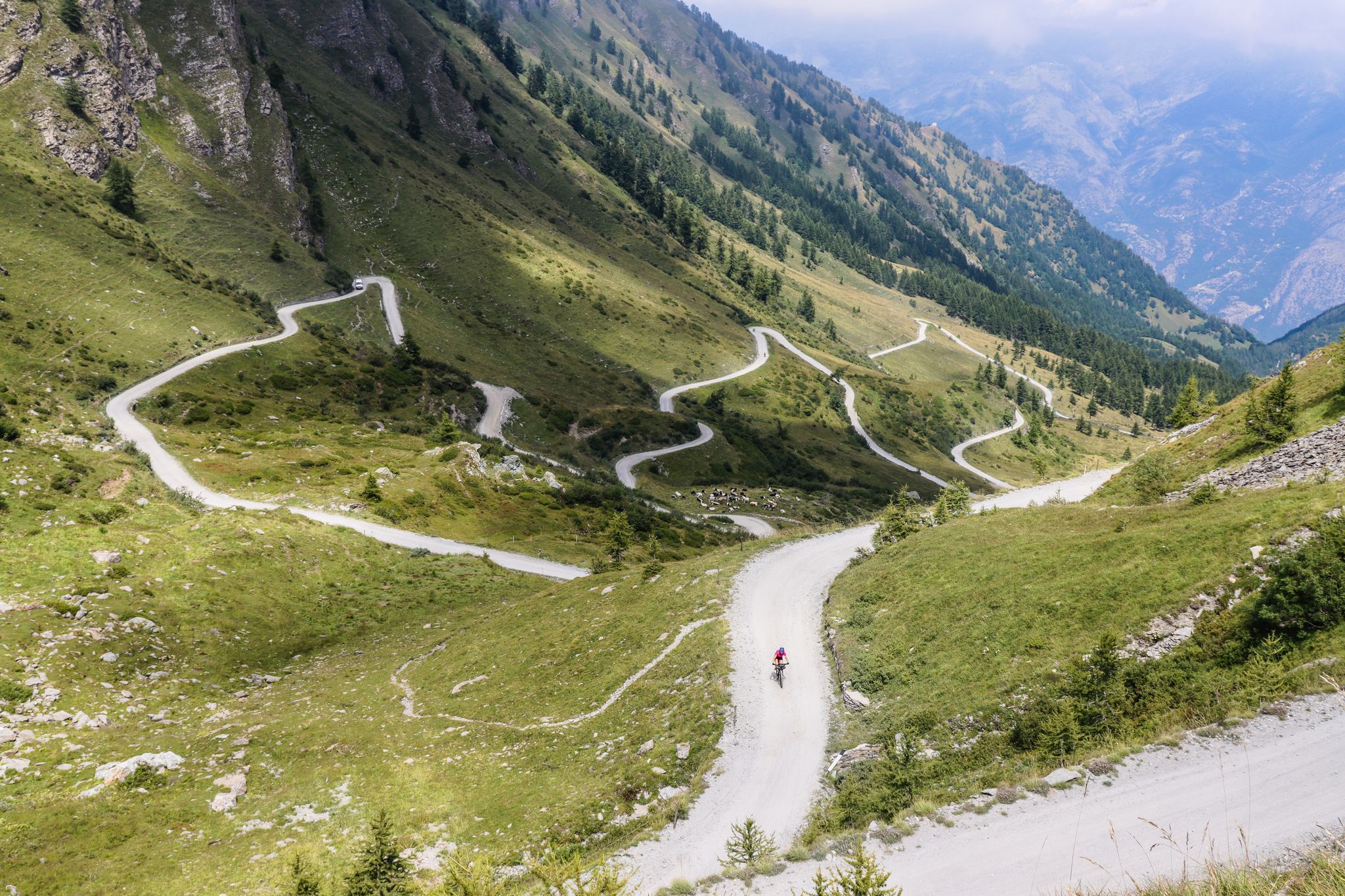
Colle del Colombardo and the Colle delle Finestre — Two of the Italian gravel giants
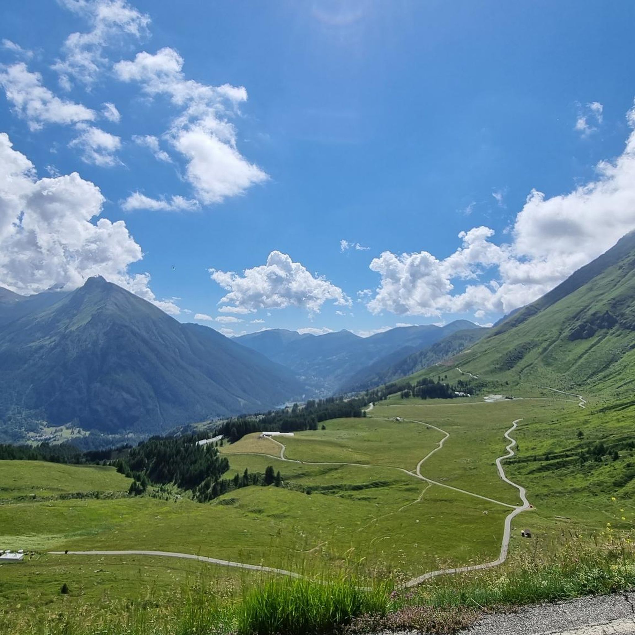
Road Cycling Routes around Natural Park Orsiera - Rocciavre'
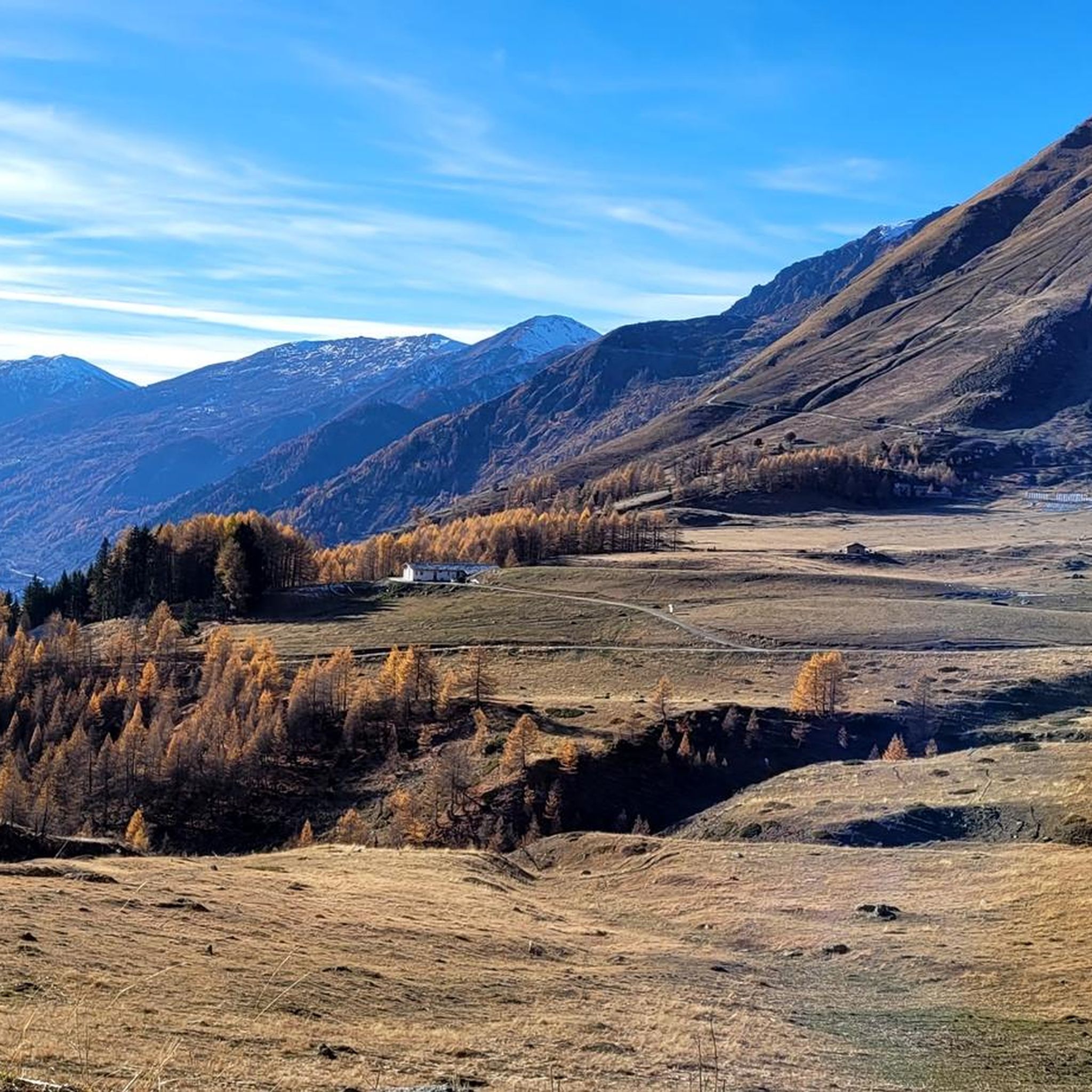
Running Trails around Natural Park Orsiera - Rocciavre'

Cycling around Natural Park Orsiera - Rocciavre'
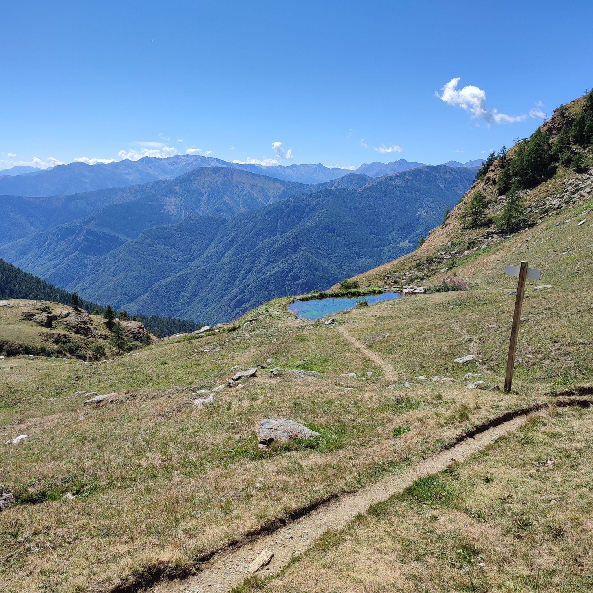
MTB Trails around Natural Park Orsiera - Rocciavre'
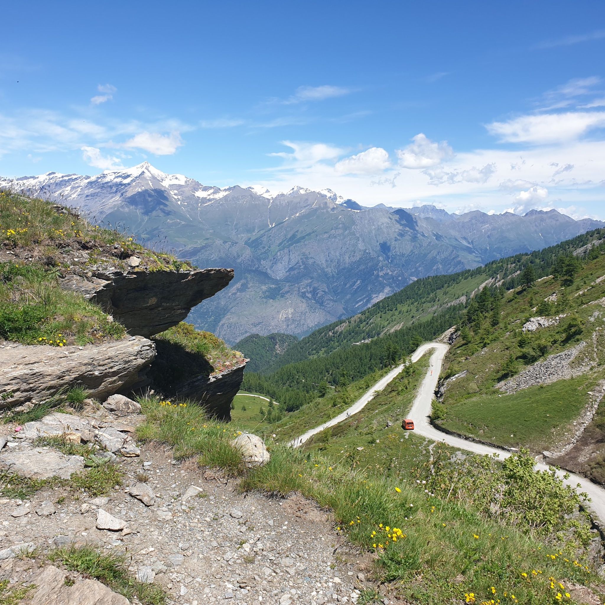
Gravel biking around Natural Park Orsiera - Rocciavre'

Mountain Hikes around Natural Park Orsiera - Rocciavre'

Other adventures around Natural Park Orsiera - Rocciavre'

Colle del Colombardo and the Colle delle Finestre — Two of the Italian gravel giants

Mountain Biking Collection by

Katie-Jane L'Herpiniere

Tips from the Community

Vincenzo DE SIMONE
January 9, 2026, Forte di Fenestrelle

path along the Fenestrelle fort

Translated by Google

0

0

beautiful refuge in the Selleries valley

Translated by Google

0

0

The Selleries refuge is located in the municipality of Roure (TO), in the Chisone valley, in the Cottian Alps, at 2,035 m above sea level. It can be easily reached by mountain bike from the paved road, but also on foot. The craft beers are excellent.

Translated by Google

0

0

Massimo is one of the best and kindest refugee managers I have ever met.

Translated by Google

1

0

In the Orsiera Rocciavrè park. Reachable only by paths, not all of which are ideal for MTB. The effort is rewarded by this splendid place.

Translated by Google

1

0

The Rifugio Toesca is located in the heart of the Orsiera-Rocciavrè Natural Park, in Val di Susa. It offers typical Piedmontese cuisine and the possibility of overnight stays in both rooms and tents. It is open all year round, every day in summer until the end of September, and weekends and holidays during the rest of the year. To check, consult the website or contact the refuge directly: https://rifugiotoesca.it/

Translated by Google

2

0

Fenestrelle is the largest fortification in Europe after the Great Wall of China... https://insieme-piemonte.com/festung-fenestrelle/

Translated by Google

0

0

Frequently Asked Questions

How many hiking trails are available in Natural Park Orsiera - Rocciavrè?

Natural Park Orsiera - Rocciavrè offers a wide selection of hiking opportunities, with over 80 routes available. These range from easy strolls to challenging multi-day treks, catering to various fitness levels and preferences.

What types of landscapes can I expect to see while hiking in the park?

The park boasts stunning alpine landscapes, characterized by high peaks like Monte Orsiera and Monte Rocciavrè. You'll encounter diverse natural features including glacial formations, U-shaped valleys, numerous alpine lakes such as Lago Ciardonnet and Lago Laus, and extensive coniferous forests of larches and firs at higher altitudes, transitioning to beeches and oaks at lower elevations.

Are there easy or family-friendly hiking options in Natural Park Orsiera - Rocciavrè?

Yes, the park has several easy walks suitable for families. An excellent option is the Franks' Trail: Rifugio Amprimo Loop, an easy 2.5-mile (4.1 km) trail that leads to a mountain hut, perfect for a gentle outing.

What are some challenging hikes for experienced trekkers?

For experienced trekkers, the park offers challenging routes that require good fitness. The renowned "Giro dell'Orsiera" is a 55 km GR footpath that circumnavigates Monte Orsiera, linking five mountain huts and offering a strenuous 5-day hiking experience. Another challenging option is the Lago Laus and Colle Superiore di Malanotte Trail (No. 339), which leads through alpine terrain to Lago Laus.

Can I find circular hiking routes in the park?

Yes, circular routes are available. The Franks' Trail: Rifugio Amprimo Loop is a popular easy circular trail. For a multi-day challenge, the "Giro dell'Orsiera" is a well-known circular footpath around Monte Orsiera.

What kind of wildlife might I encounter during a hike?

Natural Park Orsiera - Rocciavrè is rich in alpine fauna. Hikers often spot chamois, ibex, and marmots in the high-altitude pastures. Other animals include ermine, ptarmigan, and various bird species, including large birds of prey like golden eagles. Wolves have also made a comeback in the area.

Are there any historical or cultural points of interest along the trails?

Beyond natural beauty, the park features significant historical sites. You can discover the panoramic Colle delle Finestre, a 19th-century military road, and the imposing Fenestrelle Fort. Ancient military roads, fortifications, and even old mines and icehouses can be found along various trails, offering glimpses into the region's past. Consider the Forte di Fenestrelle and Forte delle Valli route for a historical hike.

What do other hikers enjoy most about Natural Park Orsiera - Rocciavrè?

The area is highly rated by the komoot community, with an average score of 4.5 stars from over 1200 reviews. Hikers frequently praise the stunning alpine scenery, the diverse network of trails, and the opportunity to experience rich wildlife and historical sites.

Are there mountain huts or refuges available for overnight stays or breaks?

Yes, several mountain huts provide resting points and accommodation for trekkers. Notable huts include Amprimo Mountain Hut, Toesca Hut, and Fontana Mura Hut. These are often integrated into longer routes like the Giro dell'Orsiera.

Can I bring my dog on the hiking trails in Natural Park Orsiera - Rocciavrè?

While many trails in natural parks are dog-friendly, it's essential to keep your dog on a leash to protect local wildlife and ensure the safety of other hikers. Always check specific trail regulations before heading out, especially in protected areas where rules might vary.

What is the best time of year to hike in Natural Park Orsiera - Rocciavrè?

The best time to hike in Natural Park Orsiera - Rocciavrè is typically from late spring to early autumn (May to October). During these months, the weather is generally more stable, trails are clear of snow at lower to mid-altitudes, and the alpine flora is in full bloom. Higher altitude routes may still have snow into early summer.

Are there any specific peaks or viewpoints worth seeking out?

The park is home to several impressive peaks and viewpoints. Monte Orsiera (2,890 m) and Monte Rocciavrè (2,778 m) offer spectacular vistas. The Colle dell'Orsiera (2,595 m) is a significant mountain pass providing panoramic views, and Cristalliera Peak is another notable summit for breathtaking scenery.

Most popular routes around Natural Park Orsiera - Rocciavre'

Family-friendly hikes around Natural Park Orsiera - Rocciavre'

Most popular attractions around Natural Park Orsiera - Rocciavre'

Places to see

Store rating

Get inspired with the komoot mobile app

With a free komoot account, you can easily find, customize, and navigate endless outdoor adventures.

or

Join komoot Now

Store rating

Explore more

Browse the best Hikes in other regions.

Ceresole RealeBardonecchiaPragelatoViùVal TronceaBalmeMompanteroLake NeroLaghi Di IvreaCesana TorineseCascinette D'IvreaParco Naturale Orsiera-RocciavrèChiaveranoFenestrelleIvreaSalbertrandRoureBobbio PelliceUsseglioPraliParco Naturale della Val TronceaLake CeresoleExillesCorioCoazzeAngrognaPalazzo CanaveseGroscavalloOulxNoascaRonco CanaveseGiavenoSusaGermagnanoPrascondùGiaglioneTraversellaSauze Di CesanaPerreroGravereAla Di SturaSalza Di PineroloLake CampagnaLocanaVal Della TorreParco Naturale del Gran Bosco di SalbertrandBussolenoFiorano CanaveseNomaglioLake AgnelAviglianaCondoveParellaTrausellaSestriereSan Germano ChisoneLake PistonoChialambertoBrusascoLake grande di AviglianaCumianaSalerano CanaveseValprato SoanaSauze D'OulxBardonecchia - Val FreddaSamoneLemieUsseauxPiossascoMasselloAndrateParco Naturale di Conca CialanciaMontalto DoraPinascaVarisellaBaldissero TorineseParco Naturale del Monte Tre Denti - FreidourPino TorineseBruinoAzeglioBorgialloRubianaVenausMonastero Di LanzoCaseletteAlmeseOasi Xerotermica Di PuysPendici Del Monte ChabertonBarbaniaMezzenileSant'Ambrogio Di TorinoTorre PelliceRegional Park La MandriaParco Naturale La MandriaCoassolo TorineseFianoCintanoVistrorioMeana Di SusaIsola Di Santa MariaBrandizzoMonte San Giorgio Natural ParkMontanaroScarmagnoCanischioMoriondo TorineseBuroloMoncalieriVillar PelliceVillar FocchiardoParco naturale Laghi di AviglianaSan Giorio Di SusaBosco MoncuniPratiglioneForno CanaveseColleretto GiacosaRiva Presso ChieriLake SerrùRocciameloneRiserva Naturale Dell'Orrido Di ForestoLake ArignanoRocca CanaveseCastagneto PoValle Della Ripa (Argentera)RibordoneBoscaglie Di Tasso Di GiaglionePerosa CanaveseNovalesaMonte Musine' E Laghi Di CaseletteOasi Xerotermica Di Oulx - AubergeCantoiraOzegnaSan Martino CanavesePecetto TorineseTavagnascoSan Pietro Val LeminaSettimo VittoneRivaraBanchettePramolloLake piccolo di AviglianaCasalborgoneBrozoloBaldissero CanaveseLanzo TorineseLes Arnaud E Punta Quattro SorelleBosconeroStrambinelloPavaroloPavone CanavesePrascorsanoOasi Xerotermica Di Oulx - AmazasCantalupaMattieNature Reserve dell'Isolone di BertollaCastiglione TorineseGivolettoPertusioCaprieSan Raffaele CimenaOasi Xerotermiche Della Val Di Susa - Orrido Di ChianoccoInverso PinascaColleretto CastelnuovoVallo TorineseClaviereTorre CanaveseBorgomasinoDruentoChiusa Di San MichelePineroloCastellamonteVillarbasseLake SirioTravesChivassoVaieCastelnuovo NigraChiesanuovaAirascaChiomonteSan Mauro TorineseCeresSparoneCavagnoloMaglionePiveroneMulino Vecchio (Fascia Fluviale Del Po)VischeLombardoreParco Naturale della Collina di SupergaValle ThurasColle del Lys Natural ParkRoràQuassoloFrassinettoRivarossaQuagliuzzoQuincinettoChieriBollengoVerrua SavoiaSciolzeCandia CanavesePont-CanaveseSanganoSan Benigno CanaveseVauda CanaveseBosco del Colle della MaddalenaPessinettoOsascoRondissoneValpergaCinzanoLake TeleccioChamplas - Colle SestrierePrarostinoVenaria RealeVerolengoChianoccoSan Giusto CanaveseValgioieCaremaBaraccone (Confluenza Po-Dora Baltea)Lake della RossaAndezenoCuceglioIngriaCiconioVillanova CanaveseSan GillioVillareggiaLoranzèRolettoLessoloMacelloValchiusaReanoBosco Del Vaj E Bosc GrandSan DideroLusigliè

Nearby adventure guides

Things to Do around Parco Naturale Orsiera-Rocciavrè

background

Get ready to conquer new peaks

Sign up for Free

Explore
RoutesRoute plannerFeaturesHikesMTB TrailsRoad cycling routesBikepackingSitemap
Download the app
Follow Us on Socials

© komoot GmbH

Privacy Policy

