The best road cycling routes around Regional Park Stirone and Piacenziano
4.2
(358)
7,234
riders
234
rides
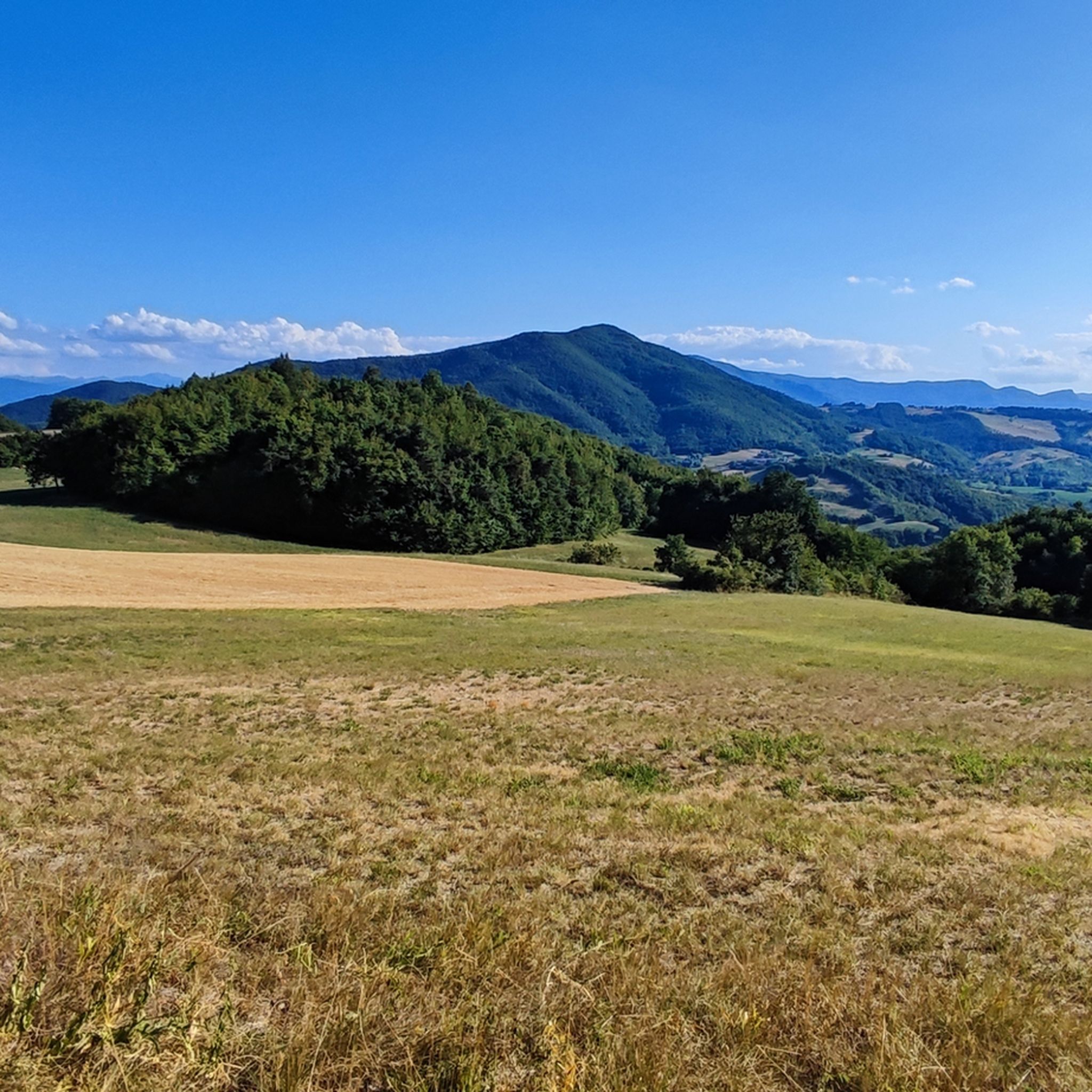
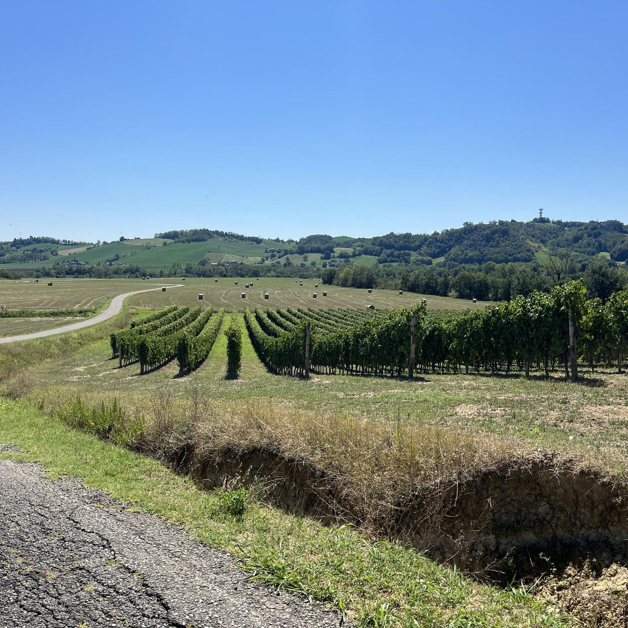
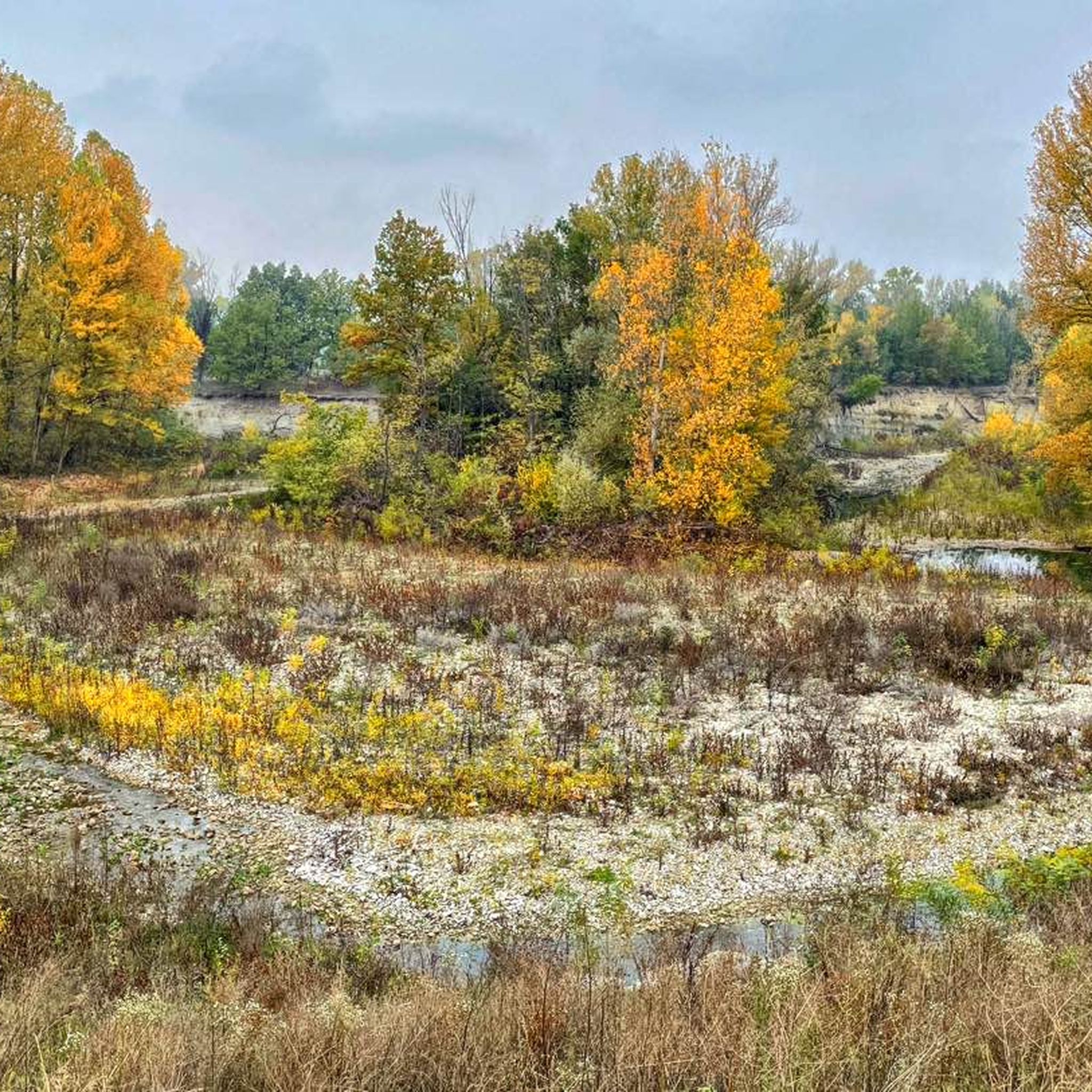
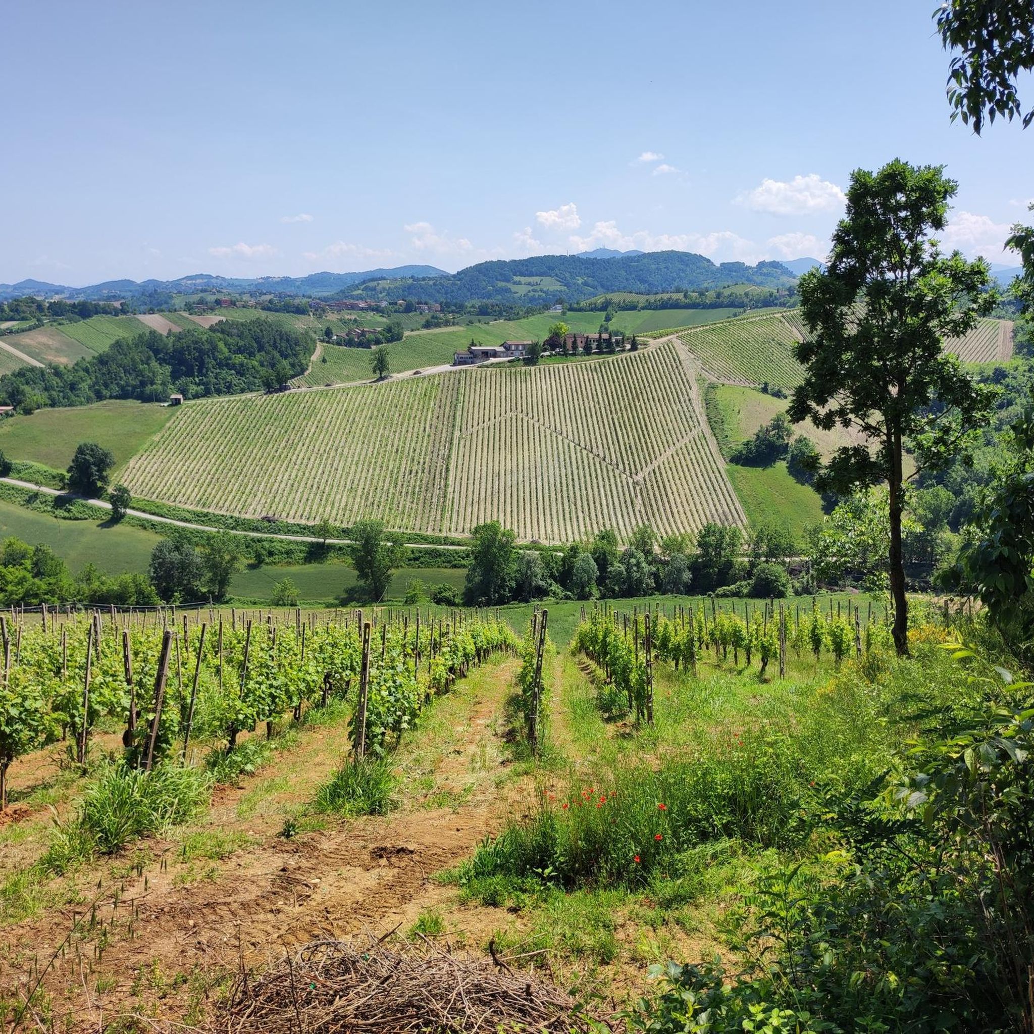
Road cycling around Regional Park Stirone and Piacenziano offers diverse landscapes, transitioning from plains to badlands in the Apennine foothills. The park is characterized by dramatic gullies and canyons carved by the Stirone River, exposing ancient geological layers. Cyclists can experience riparian woods, oak forests, agricultural fields, and picturesque vineyards. The terrain includes both smooth sections and more challenging, rougher paths.
Best road cycling routes around Regional Park Stirone and Piacenziano
- The most popular road cycling route is Wine Zone…
Last updated: October 18, 2026
9
riders
Easy road ride. Great for any fitness level. Mostly well-paved surfaces and easy to ride.
4.8
(8)
205
riders
85.5km
04:03
1,050m
1,050m
Hard road ride. Very good fitness required. Mostly well-paved surfaces and easy to ride.

4.3
(3)
83
riders
44.9km
02:13
680m
680m
Moderate road ride. Good fitness required. Mostly well-paved surfaces and easy to ride.
55
riders
113km
05:33
1,630m
1,630m
Hard road ride. Very good fitness required. Some segments of this route may be unpaved and difficult to ride.
4.0
(3)
49
riders
36.2km
01:43
470m
470m
Moderate road ride. Good fitness required. Mostly well-paved surfaces and easy to ride.
Get access to more routes and recommendations from other explorers.
Already have an account?
Our route recommendations are based on thousands of hikes, rides, and runs completed by other people on komoot.
Start today with a free account
Your next adventure awaits.
Popular around Regional Park Stirone and Piacenziano

Tips from the Community

The Berzieri Baths and Tabiano Castle are two of the most important historical and architectural attractions in the territory of Salsomaggiore Terme and Tabiano, in the province of Parma. Together they represent the perfect blend of thermal relaxation and the historical charm of the Castles of the Duchy.
0
0
The Valico di Sant'Antonio is an Apennine pass located at 650 meters above sea level in Emilia-Romagna, connecting Salsomaggiore Terme to Pellegrino Parmense on the SP359R.
0
0
The Pallavicino Castle of Varano de' Melegari is an extraordinary medieval fortress located on a sandstone spur in the Ceno valley, in the province of Parma. Renowned for being a perfect example of defensive military architecture, the castle was designed to be completely impregnable. It is part of the prestigious circuit of the Castles of the Duchy of Parma, Piacenza and Pontremoli.
1
0

Vogoleno Castle is very beautiful
1
0

Panoramic point that absolutely deserves a coffee stop
0
0
A beautiful climb, quite challenging at first, then becoming easier towards the pass at 650 meters. I would not recommend doing it in the height of summer as it is completely exposed and without the shelter of wooded areas. The long descent to Salsomaggiore Terme is very beautiful.
2
0
The road is passable with one-way traffic regulated by traffic lights.
0
0

Beautiful climb behind the Torrechiara castle
1
0
Frequently Asked Questions
How many road cycling routes are available in Regional Park Stirone and Piacenziano?
There are over 230 road cycling routes in Regional Park Stirone and Piacenziano. These routes cater to various skill levels, with approximately 55 easy, 120 moderate, and 55 difficult options available for exploration.
What kind of terrain and difficulty can I expect for road cycling in the park?
The park offers a diverse range of terrain, transitioning from gentle plains to striking badlands in the Apennine foothills. You'll encounter both smooth sections and some more challenging, rougher paths, including dramatic gullies and canyons carved by the Stirone River. Routes vary from easy loops with minimal elevation to challenging climbs, such as the Millepini Climb – Saint Anthony Pass (650 m) loop from Vaio Ospedale, which features significant elevation gain.
Are there any easy road cycling routes suitable for beginners or families?
Yes, the park offers several easy road cycling routes. A great option for a more relaxed ride is the Wine Zone Scarecrow – Drinking Water Fountain loop from Vigoleno, which is an easy 31.3 km trail guiding cyclists through the region's wine zones. The dedicated "Ciclovia dello Stirone" cycle path is also designed to accommodate cyclists of varying skill levels, including beginners.
What are the best times of year for road cycling in Regional Park Stirone and Piacenziano?
The park is generally well-suited for cycling during spring, summer, and autumn. Spring and early autumn offer pleasant temperatures and vibrant landscapes. While specific winter conditions can vary, it's advisable to check local weather forecasts for potential snow or ice, especially on higher elevation routes.
What natural features and landmarks can I see along the road cycling routes?
Road cycling routes in the park offer views of diverse natural features, including riparian woods of willows and poplars, oak forests, and agricultural fields. You'll also encounter the unique geological formations of gullies and canyons carved by the Stirone River, which expose ancient marine fossils. Picturesque vineyards are also a common sight, particularly in the Chiavenna Valley. For specific viewpoints, consider routes that pass by the View of the Vineyards.
Are there any historical or cultural attractions accessible by road bike?
Absolutely. The region is rich in history, with ancient communication routes like the Via Emilia and Via Francigena intersecting the park. You can cycle to medieval villages and see castles such as those in Castell'Arquato, Vigoleno, Tabiano, Contignaco, and Scipione. The Keep of Vigoleno and the Pieve di San Giorgio, Vigoleno are notable historical highlights you might encounter on your rides.
Where can I find parking for road cycling routes in the park?
While specific parking areas for each trailhead are not universally listed, many routes start from towns or villages within or near the park, such as Vigoleno or Vaio Ospedale. These locations typically offer public parking facilities. It's recommended to check the starting point of your chosen route on komoot for more precise parking information or local signage upon arrival.
Are there any loop routes for road cycling in Regional Park Stirone and Piacenziano?
Yes, many road cycling routes in the park are designed as loops, allowing you to start and finish at the same point. Examples include the Roadbike loop from Vaio Ospedale, which covers 50.5 km, and the Mignano Dam – View of Vigoleno loop from Vaio Ospedale, a longer 109.2 km option.
What do other road cyclists enjoy most about cycling in Regional Park Stirone and Piacenziano?
The area is highly rated by the komoot community, with an average score of 4.2 stars from over 270 reviews. Cyclists often praise the diverse landscapes, which include river environments, expansive fields, and hill forests. The variety of routes, from easy to challenging, and the opportunity to combine cycling with cultural exploration of charming towns and historical sites are also frequently highlighted.
Are there any cafes or places to stop for refreshments along the road cycling routes?
The park's road cycling routes often connect to charming towns like Fidenza, Vigoleno, and Salsomaggiore. These towns, as well as smaller villages along the way, typically offer cafes, restaurants, and other services where you can stop for refreshments. Planning your route with komoot allows you to identify potential stops in advance.
Can I combine road cycling with other activities in the park?
Yes, the park provides equipped areas for picnics, fishing, and birdwatching, which can be enjoyed in conjunction with your cycling trip. For those interested in the region's unique geological and biological heritage, the MuMAB - Ancient Sea and Biodiversity Museum at Podere Millepioppi and the Geological Museum of Castell'Arquato offer extensive exhibits, including fossils, providing a great off-bike activity.
Are there any advanced or challenging road cycling routes in the park?
For experienced road cyclists seeking a challenge, the park offers several difficult routes with significant elevation gain. An example is the Mignano Dam – View of Vigoleno loop from Vaio Ospedale, which is a 109.2 km trail with over 1480 meters of elevation gain, typically completed in about 5 hours 17 minutes.
Most popular routes around Regional Park Stirone and Piacenziano
Most popular attractions around Regional Park Stirone and Piacenziano

Get inspired with the komoot mobile app


Explore more
Browse the best Road cycling routes in other regions.
