The best road cycling routes around Otterfing
4.9
(20)
324
riders
14
rides
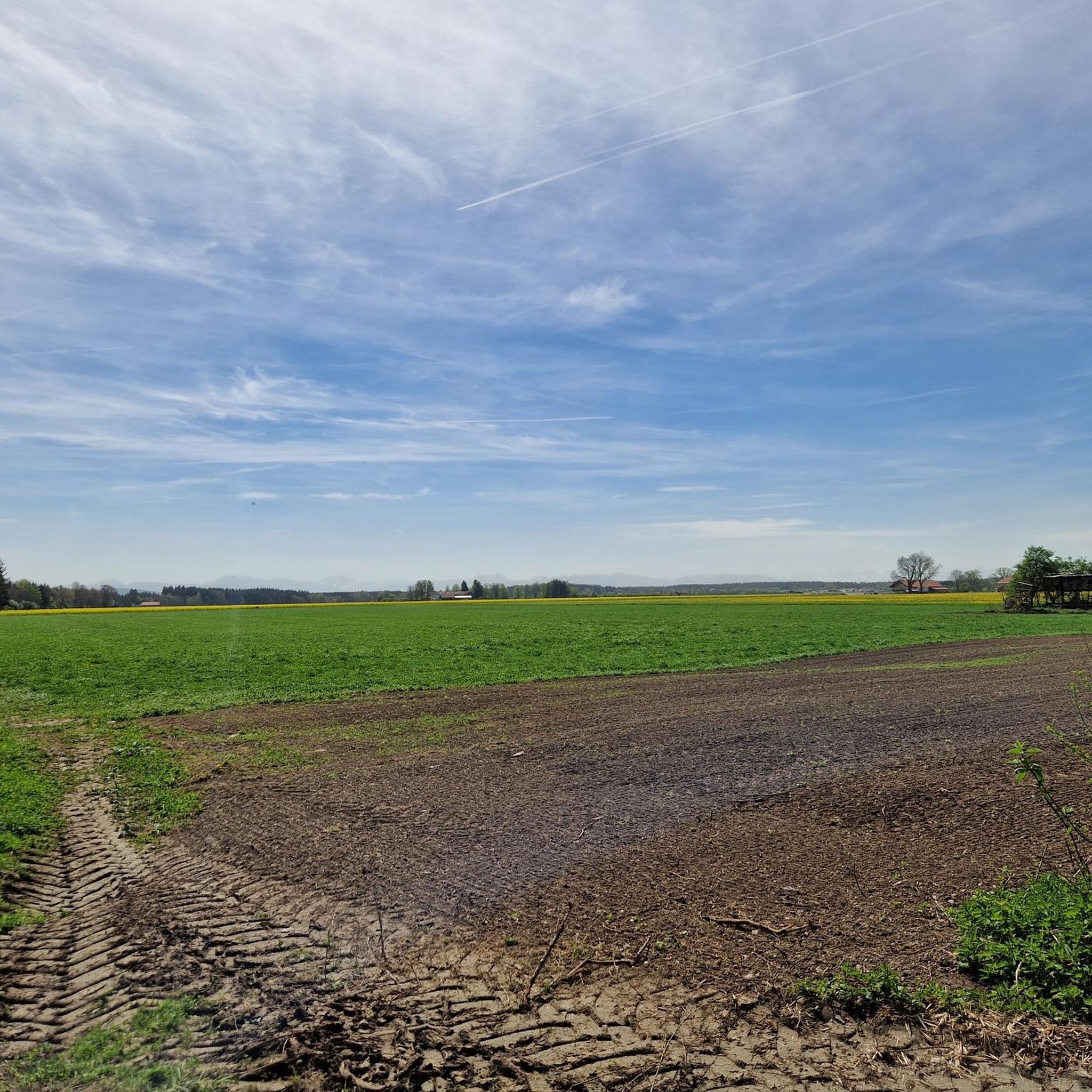
Road cycling routes around Otterfing are set in the foothills of the Bavarian Alps, offering diverse landscapes for cyclists. The region features rolling hills, lush meadows, and dense forests, with routes often on paved surfaces. Proximity to the Alps provides scenic views and varied terrain, from gentle paths to more challenging ascents.
Best road cycling routes around Otterfing
- The most popular road cycling route is Hofoldinger Forest Road – Möschenfeld–Harthausen Cycle Path loop from Otterfing, a 36.1 miles (58.1 km) trail that takes 2 hours 17 minutes to complete. This moderate route navigates through forest roads and dedicated cycle paths.
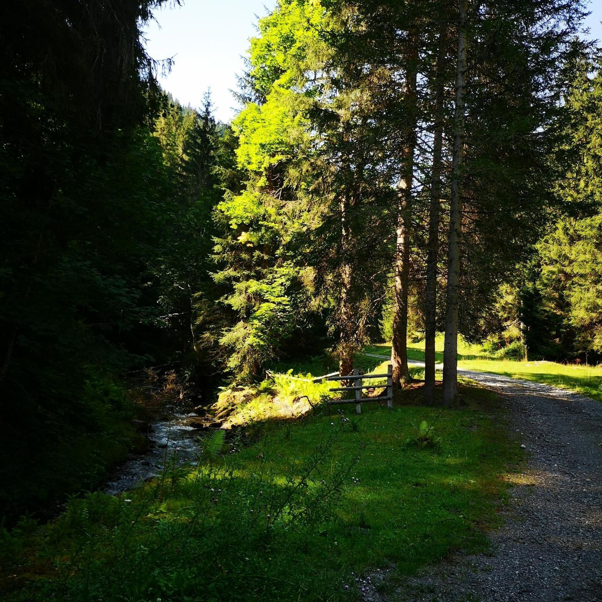
- Another top favourite among local road cyclists is Schloßberg 24% Climb – Tree-Lined Avenue Near Valley loop from Otterfing, an easy 25.1 miles (40.5 km) path. This route features tree-lined avenues and offers gentle climbs.
- Local road cyclists also love the Fields Near Großdingharting – View from Ludwigshöhe loop from Otterfing, a 36.5 miles (58.8 km) trail leading through open fields with scenic viewpoints, often completed in about 2 hours 29 minutes.
- Road cycling around Otterfing is defined by rolling hills, lush meadows, and dense forests, with views towards the Bavarian Alps. The network offers options for easy, moderate, and difficult routes, catering to various ability levels.
- The routes in Otterfing are highly rated by the komoot community with an average score of 4.9 stars from over 20 reviews. More than 300 road cyclists have used komoot to explore Otterfing's varied terrain.
Last updated: July 12, 2026
5.0
(1)
92
riders
Moderate road ride. Good fitness required. Mostly well-paved surfaces and easy to ride.
5.0
(5)
59
riders
40.5km
01:37
170m
170m
Easy road ride. Great for any fitness level. Mostly well-paved surfaces and easy to ride.

Sign up for free
5.0
(2)
30
riders
58.8km
02:29
430m
430m
Moderate road ride. Good fitness required. Mostly well-paved surfaces and easy to ride.
4.3
(4)
28
riders
24.1km
01:00
120m
120m
Easy road ride. Great for any fitness level. Mostly well-paved surfaces and easy to ride.
22
riders
56.6km
02:29
530m
530m
Moderate road ride. Good fitness required. Mostly well-paved surfaces and easy to ride.
Get access to more routes and recommendations from other explorers.
Sign up for free
Already have an account?
Our route recommendations are based on thousands of hikes, rides, and runs completed by other people on komoot.
Start today with a free account
Your next adventure awaits.
Login or Signup


Tips from the Community


beautiful market square in Holzkirchen
0
0

This beautiful chapel is directly connected to the cemetery wall…
0
0

The Roman Catholic parish church of St. Laurentius in Holzkirchen was built around 1700. More information: https://de.wikipedia.org/wiki/St._Laurentius_(Holzkirchen)
0
1
That's what the church should be called. I've never seen a church with that name before.
0
1

Finally there is a bike path here.
1
0

On both sides the approach to the Mangfall Bridge is now nicely asphalted, which is good for the racing bike
3
0

The route between Oberhaching and Schäftlarn offers good asphalt and little traffic, which makes driving pleasant.
1
0
Frequently Asked Questions
How many road cycling routes are available around Otterfing?
There are over a dozen road cycling routes around Otterfing, catering to various fitness levels. You'll find options ranging from easy loops to more challenging tours with significant elevation gains.
Are there road cycling routes suitable for beginners or families in Otterfing?
Yes, Otterfing offers several easy road cycling routes perfect for beginners or families. For instance, the Schloßberg 24% Climb – Tree-Lined Avenue Near Valley loop from Otterfing is an easy 40.5 km path featuring gentle climbs and tree-lined avenues. Another option is the Otterfing Alpine Panorama – Sauerlach loop, an easier 21.1 km ride with 110m of elevation, suitable for any fitness level.
What are some challenging road cycling routes around Otterfing?
For those seeking a challenge, the region offers routes with notable elevation. The Tegernsee – Tegernsee loop from Otterfing is a challenging 70.7 km route with 560m of elevation. Additionally, a segment of the long-distance Fernradweg München Venezia passes through Otterfing, offering a challenging 90 km section with 680m of ascent as it leads towards the mountains.
Are there circular road cycling routes around Otterfing?
Many of the road cycling routes around Otterfing are designed as loops, allowing you to start and end in the same location. Examples include the popular Hofoldinger Forest Road – Möschenfeld–Harthausen Cycle Path loop from Otterfing, the Tegernsee – Tegernsee loop, and the Mangfall River – Maxlmühle Inn loop from Warngau.
What kind of scenery can I expect on road cycling routes in Otterfing?
Road cycling routes in Otterfing offer diverse and picturesque scenery. You'll experience rolling hills, lush meadows, and dense forests, often with stunning panoramic views of the Bavarian Alps. Many routes are on paved surfaces, while some incorporate forest and woodland roads, providing a serene experience away from car traffic.
What attractions or points of interest can I see along the road cycling routes?
The routes around Otterfing pass by several natural and historical attractions. You can cycle near beautiful lakes like Kirchsee, Deininger Pond, and Thanninger Pond. The region also features traditional architecture in villages, historical buildings like Pfarrkirche St. Georg, and old linden trees. The Ellbach-Kirchseemoor nature reserve is also a scenic highlight.
What do other road cyclists enjoy most about road cycling in Otterfing?
The road cycling routes in Otterfing are highly rated by the komoot community, with an average score of 4.9 stars from over 20 reviews. Cyclists often praise the varied terrain, the beautiful views towards the Bavarian Alps, and the well-maintained paths that wind through fields, meadows, and forests.
Are there routes with significant elevation gain for training?
Yes, for those looking for elevation gain, routes like the Deininger Ramp – View from Ludwigshöhe loop from Otterfing offer over 500 meters of ascent. The Tegernsee loop also features 560 meters of elevation, providing excellent training opportunities in the foothills of the Alps.
What is the best time of year for road cycling in Otterfing?
Otterfing is an excellent destination for road cycling from spring through autumn. The blooming moor meadows in summer around Kirchsee are particularly beautiful. While routes are generally accessible, it's always advisable to check local conditions, especially during winter months, as some paths might be affected by snow or ice.
Can I access road cycling routes in Otterfing using public transport?
Otterfing is well-connected, and many tours can start directly from the town, making it convenient to access routes without a car. For specific public transport connections to trailheads, it's recommended to check local transport schedules.
Are there any specific routes that offer panoramic views?
Absolutely. The region around Otterfing is known for its stunning vistas. Routes like the Fields Near Großdingharting – View from Ludwigshöhe loop from Otterfing offer scenic viewpoints, and the Otterfing Alpine Panorama – Sauerlach loop is specifically named for its scenic mountain views.
Most popular routes around Otterfing
Most popular attractions around Otterfing

Get inspired with the komoot mobile app


Explore more
Browse the best Road cycling routes in other regions.
