The best MTB trails around Ottenhofen
4.5
(1097)
3,886
riders
568
rides
Mountain biking around Ottenhöfen offers diverse landscapes characterized by dense forests and rolling hills, providing varied terrain for different activity levels. The region is situated between 300 and 1050 meters above sea level, featuring numerous trails that wind through natural features like the Edelfrauengrab Waterfalls and the Karlsruher Grat rocky ridge. This area serves as an ideal starting point for exploring the Black Forest Central/North Nature Park and the Black Forest National Park.
Best mountain bike trails around Ottenhöfen
- The…
Last updated: August 21, 2026
3.8
(9)
13
riders
Moderate mountain bike ride. Great for any fitness level. Advanced riding skills necessary.
5.0
(2)
7
riders
38.5km
02:28
100m
100m
Moderate mountain bike ride. Good fitness required. Suitable for all skill levels.

Sign up for free
4
riders
48.7km
03:12
260m
260m
Moderate mountain bike ride. Good fitness required. Advanced riding skills necessary.
3
riders
Easy mountain bike ride. Great for any fitness level. Suitable for all skill levels.
5.0
(1)
5
riders
16.3km
01:01
80m
80m
Easy mountain bike ride. Great for any fitness level. Suitable for all skill levels.
Get access to more routes and recommendations from other explorers.
Sign up for free
Already have an account?
Our route recommendations are based on thousands of hikes, rides, and runs completed by other people on komoot.
Start today with a free account
Your next adventure awaits.
Login or Signup

Tips from the Community

Quiet beer garden. The Steckerlfisch and Spanferckel are of course NOT always available. Solid beer garden cuisine also for veggies
0
0

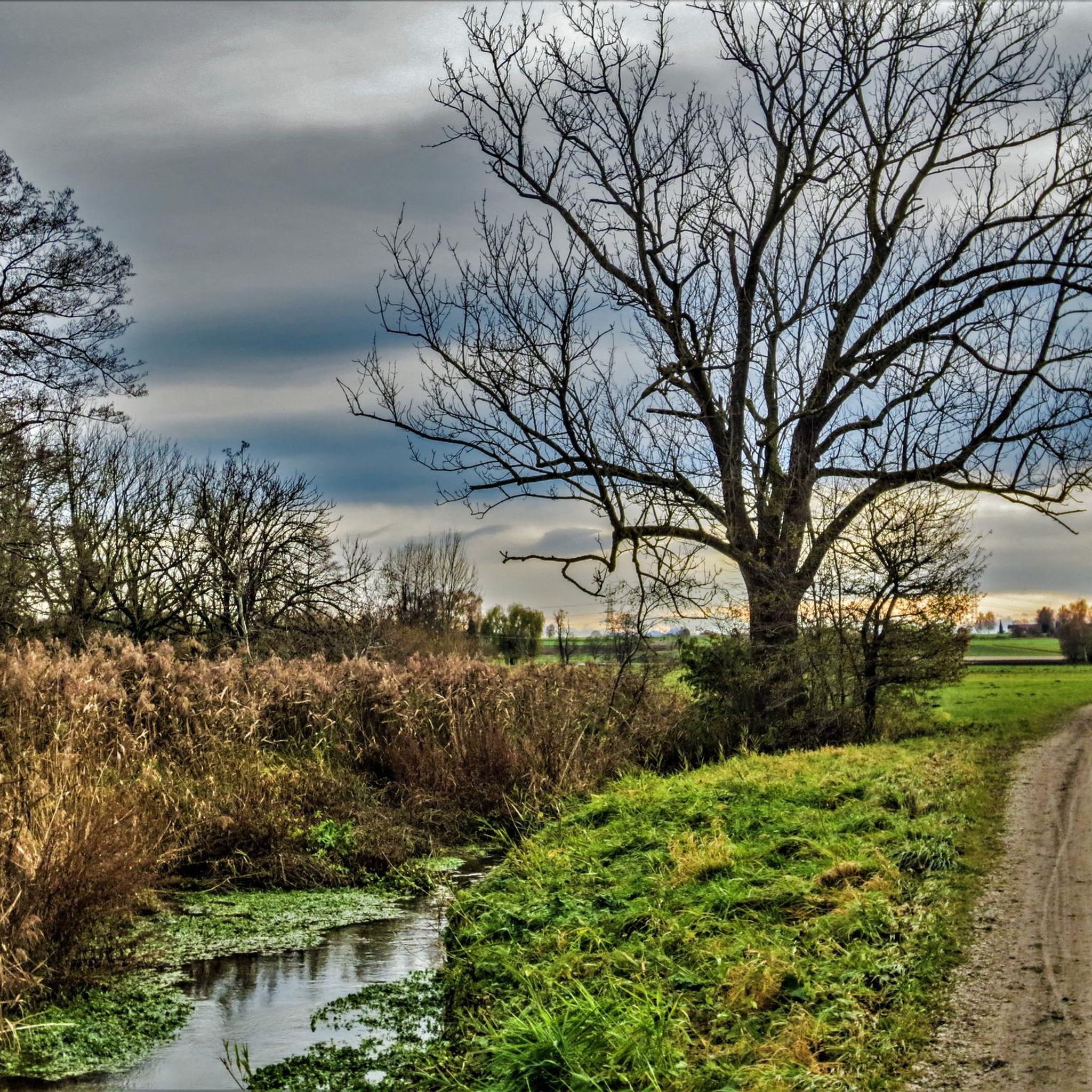
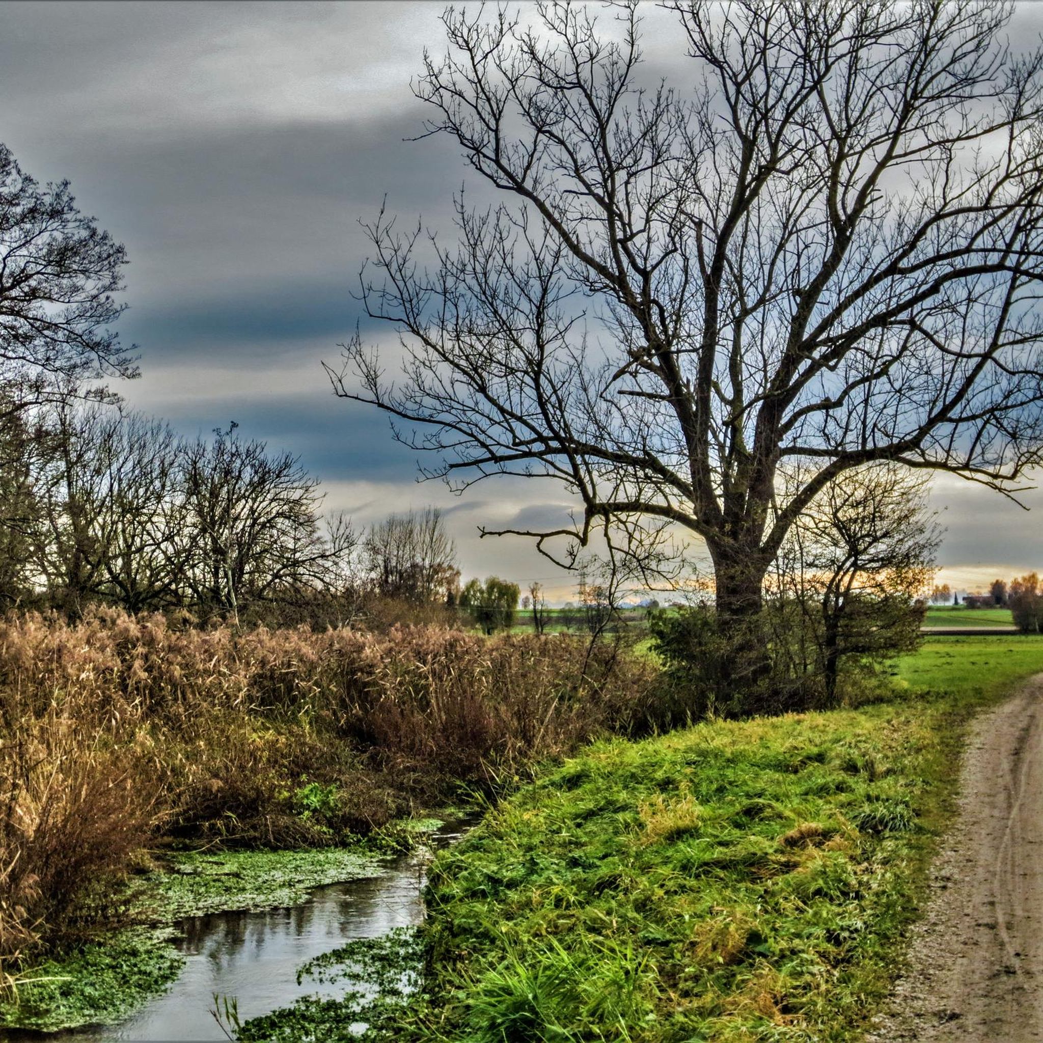
Great pond with turquoise water and lovely sunbathing areas.
3
0


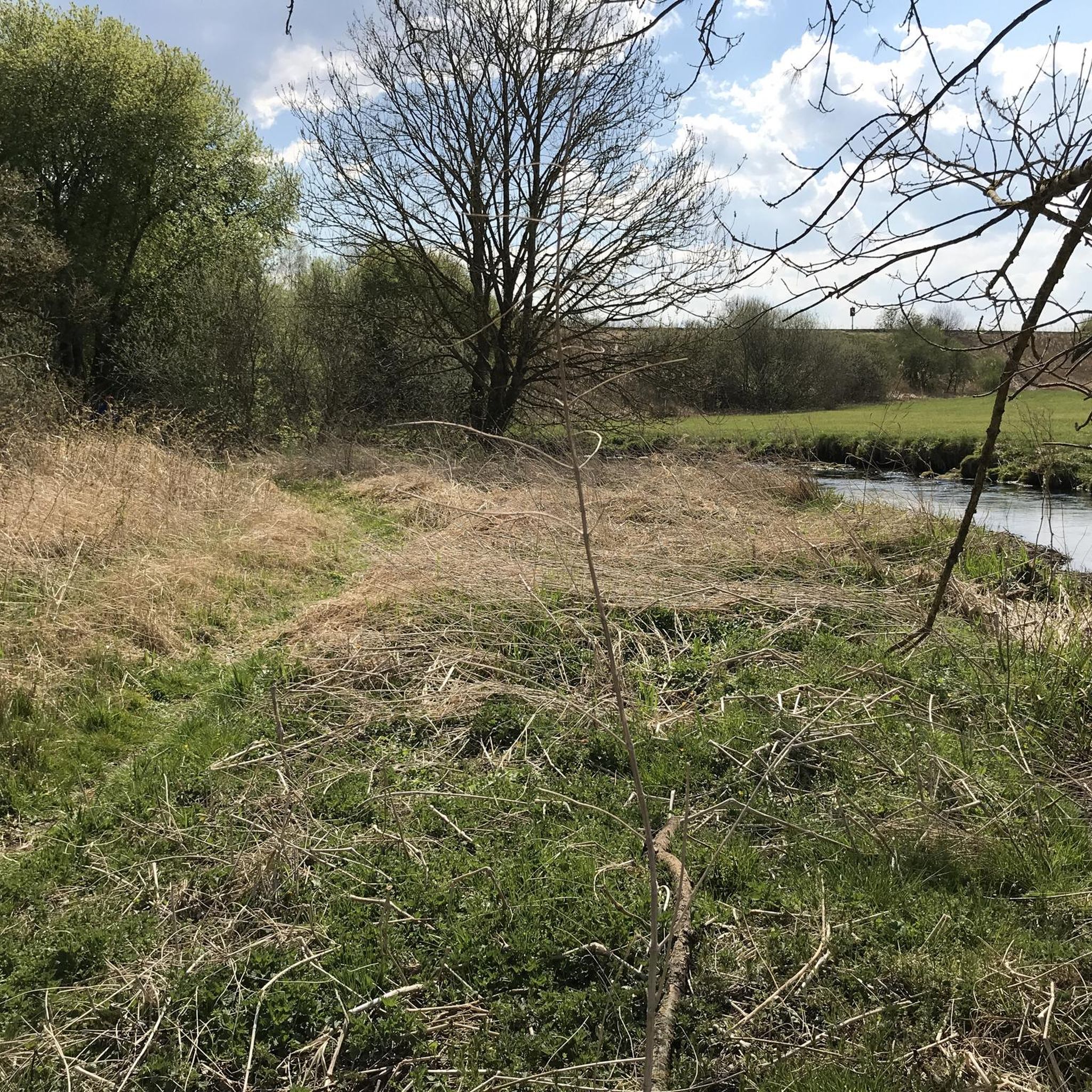
Currently (April 2025), the trail runs directly next to a scaffold (photo) that spans the entire drawbridge. However, you can get past it, and access from the west is also possible.
0
0

Wet wood storage in the Ebersberg Forest
0
1

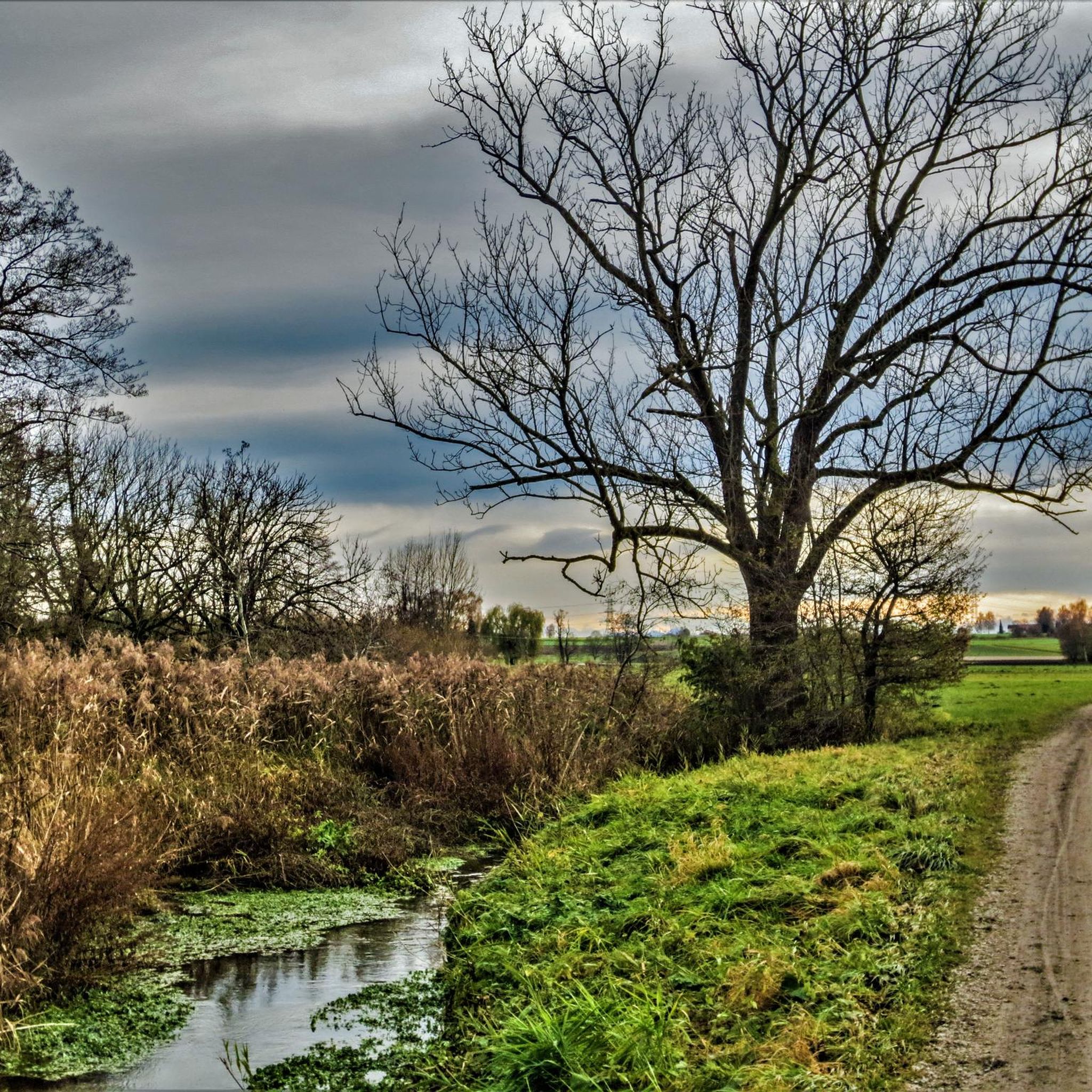
This pedal boat is located right next to the Keckmühle and can be used to leisurely cruise along the gentle Schwillachbach.
0
0

Wikipedia (Schöner Turm (Erding), 2024-12-23): https://de.m.wikipedia.org/wiki/Schöner_Turm_(Erding) Wikipedia (List of architectural monuments in Erding), 2024-12-23): https://de.m.wikipedia.org/wiki/Liste_der_Baudenkmäler_in_Erding#D-1-77-117-34 “City gate ... Landshut Gate, so-called Schöner Turm; brick building from the 15th century with a dome from 1660/64 and an attached three-story gatehouse from the 17th century. ... D-1-77-117-34”
2
0
Frequently Asked Questions
How many mountain bike trails are there in Ottenhofen?
Ottenhofen offers a vast network of mountain bike trails, with over 600 routes available for exploration. These trails cater to various skill levels, from easy paths to more challenging ascents.
What types of terrain can I expect on mountain bike trails in Ottenhofen?
The terrain around Ottenhofen is incredibly diverse, characterized by dense forests, rolling hills, and varied elevations ranging from 300 to 1050 meters above sea level. You'll find everything from smooth riverside paths to singletrack sections and challenging climbs, often leading to impressive viewpoints.
Are there any family-friendly mountain bike trails in Ottenhofen?
Yes, Ottenhofen offers a good selection of family-friendly routes. Out of over 600 trails, 187 are classified as easy, making them suitable for beginners and families. These routes often feature gentler gradients and scenic paths through the forests and along rivers.
What natural features or landmarks can I see along the mountain bike trails?
The region is rich in natural beauty. You can encounter the wild and romantic Edelfrauengrab Waterfalls (Gaishöll Waterfalls), the prominent Karlsruher Grat rocky ridge, and enjoy panoramic views from the Hahnenkopf viewing platform over the Black Forest National Park. The legendary Mummelsee is also nearby. For specific routes, you might pass by features like the Sempt River or idyllic ponds.
What is the best time of year for mountain biking in Ottenhofen?
Spring, summer, and autumn generally offer the most pleasant weather and optimal trail conditions for mountain biking in Ottenhofen. During these seasons, the trails are typically dry and the natural scenery is at its most vibrant. Winter can be challenging due to snow and ice, though some trails might be accessible depending on conditions.
Are there any circular mountain bike routes available?
Yes, many of the mountain bike trails in Ottenhofen are designed as loops, allowing you to start and end at the same point. Examples include the Isen Riverside Cycle Path – Müllner Bründl Wooden Bridge loop, the Ludwigshöhe Observation Tower – Singletrack loop, and the Ismaning Reservoir loop.
What do other mountain bikers enjoy most about mountain biking in Ottenhofen?
The area is highly rated by the komoot community, with an average score of 4.5 stars from over 800 reviews. Reviewers often praise the diverse landscapes, the variety of trails catering to all skill levels, and the impressive viewpoints found throughout the dense forests and rolling hills.
Are there options for advanced mountain bikers seeking a challenge?
Absolutely. While Ottenhofen offers many moderate and easy trails, there are also 11 routes classified as difficult, providing a significant challenge for experienced riders. These routes often feature steeper ascents, technical descents, and can lead to higher elevations like the Hornisgrinde, the highest mountain in the northern Black Forest.
Where can I find places to eat or rest near the trails?
You'll find several options for refreshments and rest stops. The Finsinger Alm Beer Garden and St. Hubertus Forest Lodge are popular choices. The region also has various huts and cabins, some of which offer food and drink, providing a perfect break during your ride.
Is it possible to reach mountain biking areas in Ottenhofen using public transport?
While the region is well-suited for outdoor activities, specific public transport connections to trailheads can vary. It's advisable to check local public transport schedules and bike carriage policies for the most up-to-date information when planning your trip to Ottenhofen.
Are dogs allowed on the mountain bike trails in Ottenhofen?
Many trails in the Black Forest region, including those around Ottenhofen, are generally dog-friendly. However, it's always recommended to keep dogs on a leash, especially in nature protection areas or during wildlife breeding seasons, and to be mindful of other trail users. Specific regulations may apply in certain sections of the Black Forest National Park.
What is the longest mountain bike trail in the Ottenhofen area?
Among the available routes, the Isen Riverside Cycle Path – Müllner Bründl Wooden Bridge loop is one of the longer options, stretching approximately 48.4 km (30.1 miles). This moderate route offers scenic views and varied surfaces, typically taking around 3 hours and 17 minutes to complete.
Most popular routes around Ottenhofen
Most popular attractions around Ottenhofen

Get inspired with the komoot mobile app


Explore more
Browse the best MTB trails in other regions.
