The best road cycling routes around Ottendorf an der Rittschein
4.4
(115)
2,592
riders
131
rides
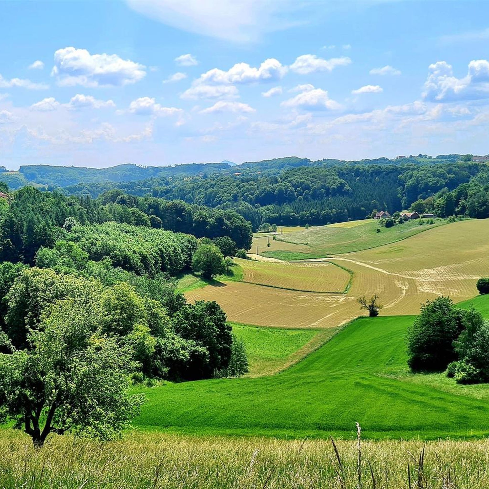
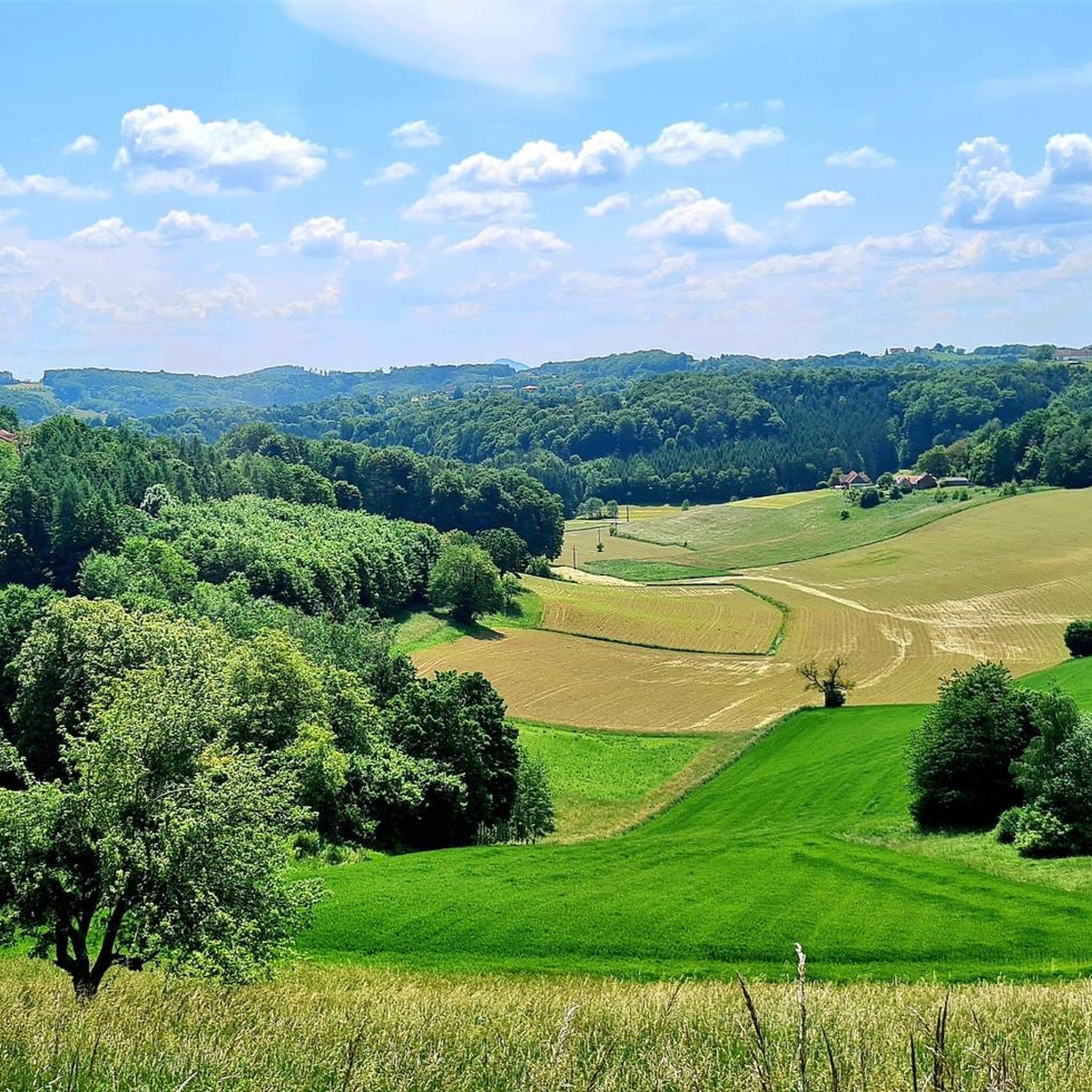
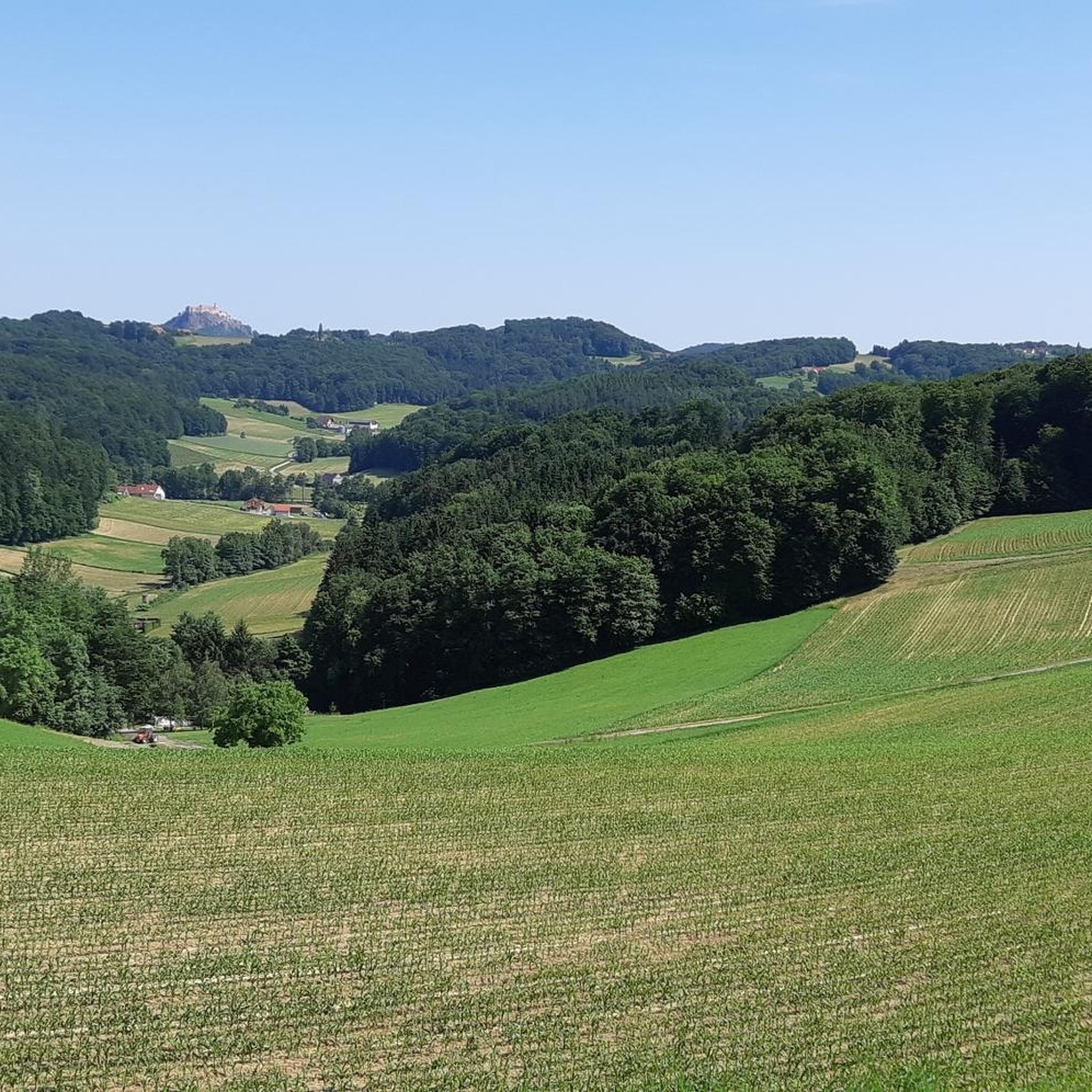
Road cycling around Ottendorf an der Rittschein offers diverse landscapes, from rolling hills and dense forests to lush meadows. The region, part of the Steirisches Vulkanland, features a mix of paved surfaces and low-traffic roads, making it suitable for various fitness levels. Cyclists can explore routes that extend towards Hungary or venture into the hillier paths leading towards Southern Styria and Graz. The area's topography provides both relatively flat sections and routes with significant elevation gain.
Best road cycling routes…
Last updated: October 11, 2026
5.0
(1)
81
riders
47.5km
01:57
220m
220m
Easy road ride. Great for any fitness level. Mostly well-paved surfaces and easy to ride.
5.0
(2)
40
riders
Moderate road ride. Good fitness required. Mostly well-paved surfaces and easy to ride.

5.0
(4)
22
riders
32.1km
01:25
160m
160m
Moderate road ride. Great for any fitness level. Some segments of this route may be unpaved and difficult to ride.
5.0
(1)
13
riders
Moderate road ride. Good fitness required. Some segments of this route may be unpaved and difficult to ride.
5.0
(1)
18
riders
Moderate road ride. Good fitness required. Some segments of this route may be unpaved and difficult to ride.
Get access to more routes and recommendations from other explorers.
Already have an account?
Our route recommendations are based on thousands of hikes, rides, and runs completed by other people on komoot.
Start today with a free account
Your next adventure awaits.


Tips from the Community

Beautifully designed main square with a fountain and a column. Plenty of space for strolling and several places to eat and drink all around.
0
0

Very beautiful fountain with tile pictures, nice new bus stop with drinking fountain
0
0

A beautiful historic building. With a huge section of the mill's machinery on display in front. I've walked past and through it a few times. It's always a great photo opportunity. Nearby, you'll also find some benches and a book exchange right next to the mill.
0
0
Although it's located right in the middle of a busy intersection, it's still a highlight for us. The changing colors of the light at different times of day and year make it particularly interesting for photographers.
0
0
A must-have for any sightseeing trip through Fürstenfeld City.
0
0

Located at/in the Grazer Tor.
2
0
On the outside of the gate is a relief of a double-headed eagle.
2
0
Frequently Asked Questions
How many road cycling routes are available around Ottendorf an der Rittschein?
There are over 10 road cycling routes in the Ottendorf an der Rittschein area, catering to various fitness levels. These routes explore the diverse landscapes of Eastern Styria.
What kind of terrain can I expect on road cycling routes in Ottendorf an der Rittschein?
The region offers a mix of terrain, from relatively flat sections extending towards Hungary to more hilly paths leading towards Southern Styria and Graz. You'll encounter rolling hills, dense forests, and lush meadows, all on mostly paved surfaces.
Are there easy road cycling routes suitable for beginners or families?
Yes, there are routes suitable for beginners and those looking for an easier ride. For instance, the EisOase Ice Cream Stand – Eisoase Untergroßau loop from Ottendorf an der Rittschein is an easy 18.8-mile (30.3 km) trail that takes about 1 hour 21 minutes through gentle landscapes.
Where can I find challenging road cycling routes with significant elevation gain?
For a more challenging experience, consider routes like the Paragliding Launch Site – Lake Stubenberg loop from Walkersdorf. This difficult route covers 41.1 miles (66.2 km) with over 3,500 feet (1068 m) of elevation gain, offering a demanding ride.
What are some scenic highlights I can see while road cycling in the region?
Many routes offer picturesque scenery. You can enjoy views of the prominent Riegersburg Castle, as seen on the View of Riegersburg Castle – Riegersburg Castle loop from Ottendorf an der Rittschein. The landscape also features the unique geology of the Styrian Volcanic Land with its rolling hills and forests.
Are there any circular road cycling routes around Ottendorf an der Rittschein?
Yes, many of the road cycling routes in the area are circular, allowing you to start and end at the same point. Examples include the Farm shop – Rest area with observation tower loop from Ottendorf an der Rittschein and the Feldbach Town Hall – Kapfenstein Castle loop from Ottendorf an der Rittschein.
What is the best time of year for road cycling in Ottendorf an der Rittschein?
The region benefits from a 'near-mediterranean climate' in the Thermen- & Vulkanland area, making it suitable for outdoor activities for much of the year. Spring and autumn generally offer pleasant temperatures and beautiful scenery, though summer is also popular.
What do other road cyclists enjoy most about the routes here?
The road cycling routes around Ottendorf an der Rittschein are highly rated by the komoot community, with an average score of 4.2 stars. Cyclists often praise the diverse landscapes, the mix of easy and challenging options, and the low-traffic roads that make for an enjoyable experience.
Are there any notable attractions or landmarks near the cycling routes?
Beyond the cycling, you can explore several attractions. Riegersburg Castle is a prominent landmark offering stunning views. Another historic site is Kornberg Castle, which hosts events and exhibitions. For a unique experience, consider visiting the Zotter Chocolate Factory or local manufacturers like Gölles for spirits and vinegar.
Can I find places to stop for refreshments along the road cycling routes?
While specific cafe stops are not always marked, the routes often pass through or near towns like Fehring and Feldbach, where you can find opportunities for refreshment. The region's focus on local produce also means you might encounter farm shops.
What is the typical duration for road cycling routes in this area?
Route durations vary significantly based on distance and elevation. Easy routes, like the EisOase loop, can take around 1.5 hours, while moderate routes typically range from 2 to 4 hours. More challenging routes, such as the Paragliding Launch Site loop, can extend to over 3.5 hours.
Most popular routes around Ottendorf an der Rittschein
Most popular attractions around Ottendorf an der Rittschein

Get inspired with the komoot mobile app


Explore more
Browse the best Road cycling routes in other regions.
