The best walks and hikes around Osterbruch
4.4
(1042)
4,681
hikers
339
hikes
Hiking routes Osterbruch primarily traverse a flat, rural landscape in the Cuxhaven district of Lower Saxony, Germany. The area is characterized by agricultural fields, dikes, and waterways such as the Hadelner Canal and the Medem River. While Osterbruch itself offers a quiet setting, nearby routes extend towards the Wadden Sea National Park, providing coastal walking opportunities. The terrain generally features minimal elevation gain, making many paths accessible.
Best hiking trails around Osterbruch
- The most popular hiking route is Otterndorf Promenade…
Last updated: August 8, 2026
5.0
(2)
10
hikers
20.4km
05:08
20m
20m
Hard hike. Very good fitness required. Easily-accessible paths. Suitable for all skill levels.
3.0
(2)
9
hikers
4.57km
01:09
10m
10m
Easy hike. Great for any fitness level. Easily-accessible paths. Suitable for all skill levels.

Sign up for free
4.3
(3)
10
hikers
Easy hike. Great for any fitness level. Easily-accessible paths. Suitable for all skill levels.
5.0
(1)
6
hikers
Easy hike. Great for any fitness level. Easily-accessible paths. Suitable for all skill levels.
5.0
(2)
5
hikers
Moderate hike. Good fitness required. Easily-accessible paths. Suitable for all skill levels.
Get access to more routes and recommendations from other explorers.
Sign up for free
Already have an account?
Our route recommendations are based on thousands of hikes, rides, and runs completed by other people on komoot.
Start today with a free account
Your next adventure awaits.
Login or Signup
Tips from the Community

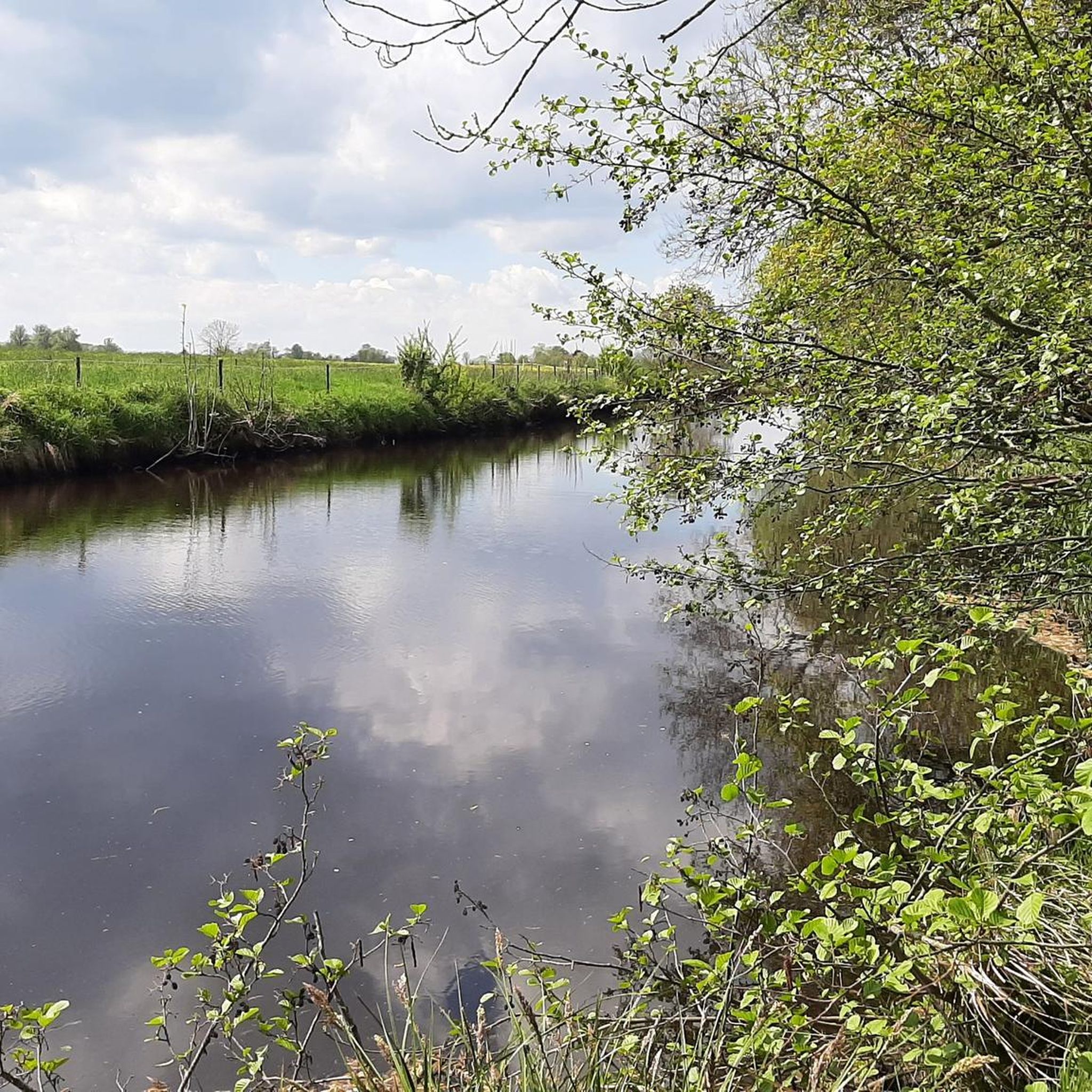
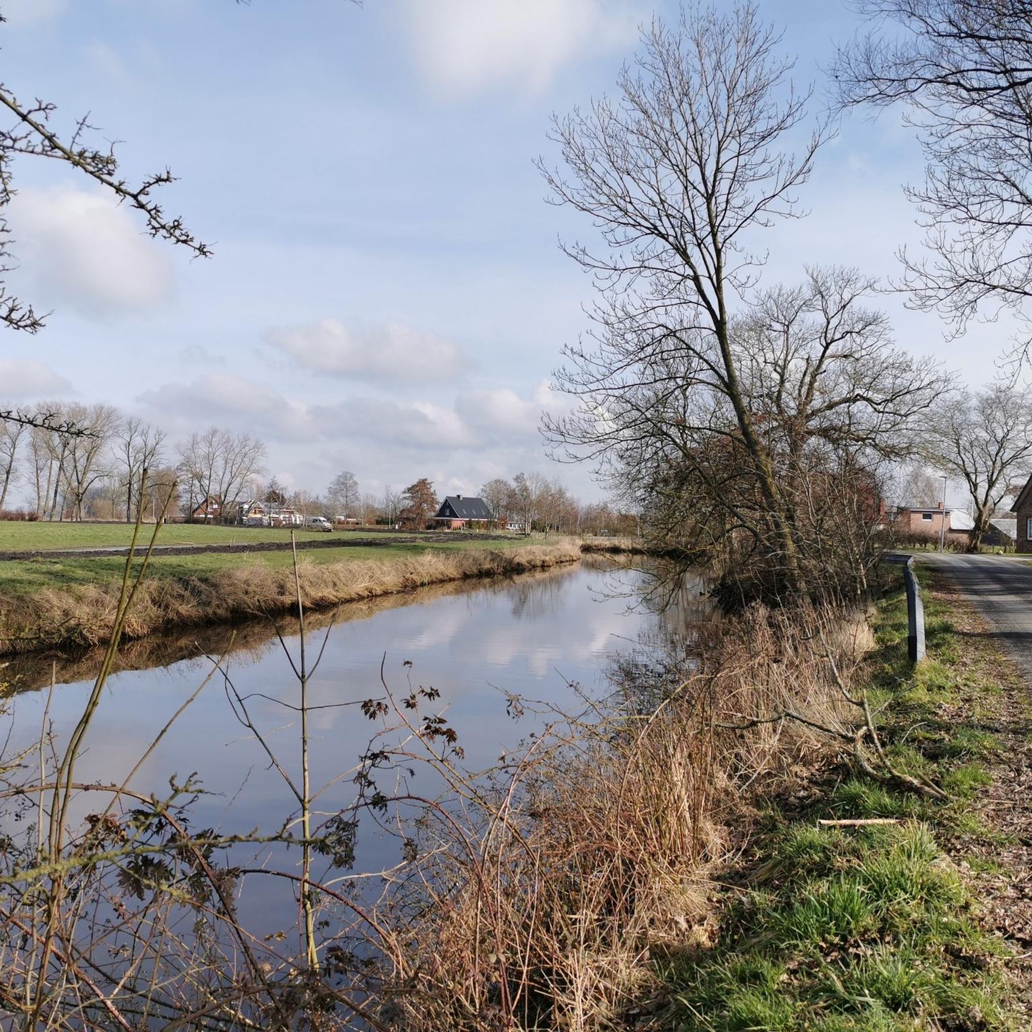
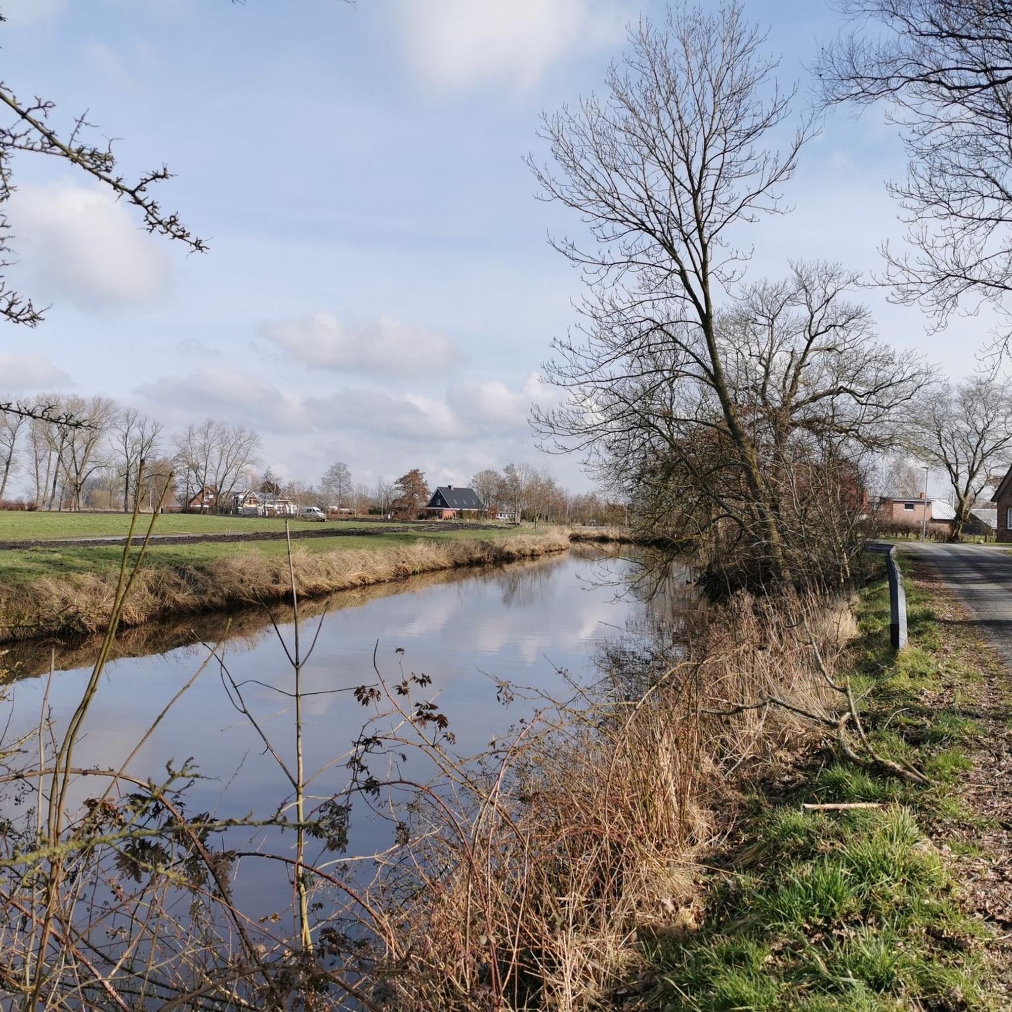
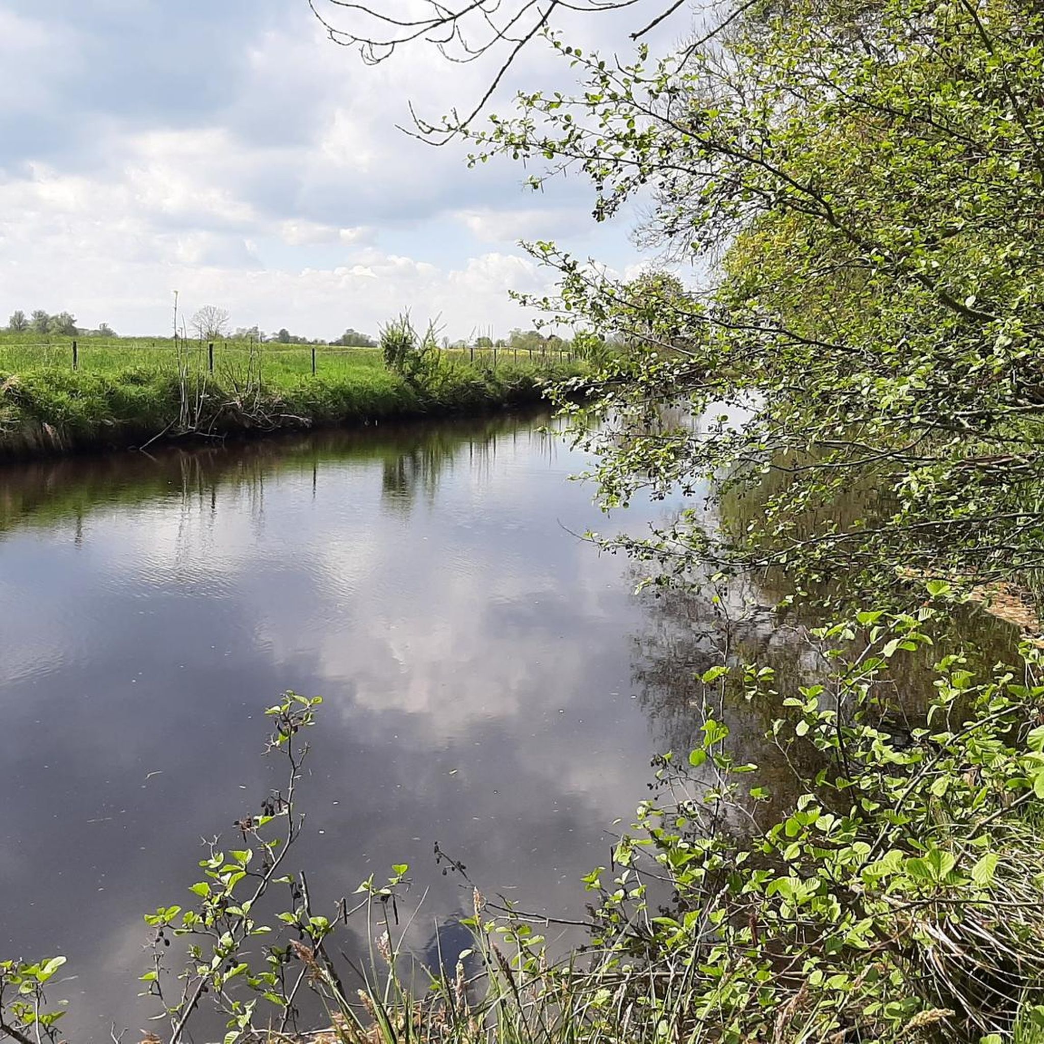
A great bike and hiking route runs along here amidst beautiful nature by the canal. A well-paved asphalt road.
0
0
So the Medem Bridge was built. People also called it Katten-Stigg at that time. The language is called Plattdeutsch. More than a hundred years ago Johann Meyer lived in Ihlienworth. Johann Meyer was a merchant, he had a shop in Otterndorf. The shop was on one side of the river. People from the other side of the river could not shop with him. Johann Meyer wanted to change that, so they could also shop with him. Without having to take a boat. Johann Meyer then built a bridge, the bridge had to be high enough so that ships could sail under the bridge. He then built stairs around it on each corner. The bridge was then called Medem Stieg.
3
0
A visit is highly recommended; a great path leads along the Medem river.
1
0
In Otterndorf, on the way to the town center, you get a magnificent view of the Medem River and the surrounding area. A visit is highly recommended 👍🏼.
2
0
The bridge offers a fantastic view of the Medem river. The entire village of Otterndorf is worth a visit.
4
0
3
0
Frequently Asked Questions
What is the general terrain like for hiking around Osterbruch?
Hiking routes around Osterbruch primarily traverse a flat, rural landscape. You'll encounter agricultural fields, dikes, and waterways such as the Hadelner Canal and the Medem River. The terrain generally features minimal elevation gain, making many paths accessible for various fitness levels.
How many hiking trails are available in the Osterbruch area?
There are over 340 hiking routes available around Osterbruch. These include a wide range of options, with approximately 250 easy trails, nearly 80 moderate routes, and a few more challenging paths for experienced hikers.
What kind of natural attractions can I expect to see while hiking near Osterbruch?
While hiking near Osterbruch, you can experience the quiet rural landscape, dikes, and waterways. The broader region offers proximity to the Wadden Sea National Park, providing coastal walking opportunities. You might also encounter viewpoints like the View of the Medem River and Otterndorf Marina, or the Observation Tower at the Deutscher Olymp in the wider area.
Are there any circular hiking routes around Osterbruch?
Yes, many routes in the area are designed as loops. For example, the Otterndorf Promenade – Wadden Sea National Park loop from Otterndorf offers views of the Wadden Sea, and the Wolfgang Larisch Bridge – Otterndorf Town Center loop from Otterndorf explores the town center and crosses a local bridge.
What do other hikers say about the trails in Osterbruch?
The hiking routes around Osterbruch are highly rated by the komoot community, with an average score of 4.4 out of 5 stars from over 950 reviews. Hikers often praise the peaceful rural setting, the well-maintained paths along dikes and canals, and the accessibility of many routes.
Are there family-friendly hiking options near Osterbruch?
Yes, with a large number of easy trails and minimal elevation gain, many routes are suitable for families. Shorter, easy loops like the Wolfgang Larisch Bridge – Otterndorf Town Center loop from Otterndorf or the Fields and Meadows loop from Otterndorf are great choices for walks with children.
Can I bring my dog on the hiking trails around Osterbruch?
Generally, the rural paths and dikes around Osterbruch are dog-friendly. However, it's always recommended to keep your dog on a leash, especially when passing through agricultural areas or near livestock, and to respect local regulations, particularly in nature protection zones like parts of the Wadden Sea National Park.
Are there any historical sites or points of interest along the hiking routes?
While Osterbruch itself is rural, nearby Otterndorf offers historical charm. You can explore the Historic Town Center of Otterndorf, which features old half-timbered houses, particularly visible from the dyke along the Medem River.
What is the best way to get to the hiking trails using public transport?
Information on specific public transport connections directly to trailheads in Osterbruch is limited. However, the region is generally accessible by local bus services. It's advisable to check local bus schedules for connections from larger towns like Cuxhaven or Otterndorf to Osterbruch or specific starting points for trails.
Are there opportunities for cycling in the Osterbruch area?
Yes, the area around Osterbruch is very popular for cycling. Notable routes include the Elbe Dike Cycling Route and the Hadelner Canal Cycle Path, which is known for its super paved surface and quiet natural surroundings. Many paths suitable for hiking are also shared with cyclists.
Where can I find parking for hiking trails near Osterbruch?
Parking is generally available in the villages and towns near trailheads, such as in Otterndorf or Osterbruch itself. Look for designated parking areas in town centers or near popular starting points for routes. Specific parking details for individual trails are often provided on their respective komoot tour pages.
Are there any longer, more challenging hikes available?
Yes, for those seeking a longer challenge, the Hadelner Canal – Otterndorf Town Hall Square loop from Osterbruch is a difficult 20.4 km trail that takes approximately 5 hours to complete, leading through the Hadelner Canal area.
Most popular attractions around Osterbruch

Get inspired with the komoot mobile app


Explore more
Browse the best Hikes in other regions.
