The best walks and hikes around Olzheim
4.5
(94)
251
hikers
36
hikes
Hiking around Olzheim offers diverse terrain within Germany's Eifel region, characterized by rolling hills and valleys. The area features scenic paths through forests and along rivers like the Kyll and Prüm, providing varied landscapes for outdoor exploration. Hikers can find routes with gentle slopes as well as more challenging ascents, catering to different fitness levels. The proximity to the Eifelsteig trail further enhances the region's appeal for longer-distance hiking.
Best hiking trails around Olzheim
- The most popular hiking route is…
Last updated: October 3, 2026
4.5
(10)
41
hikers
11.0km
03:04
200m
200m
Moderate hike. Good fitness required. Easily-accessible paths. Suitable for all skill levels.
5.0
(3)
10
hikers
5.70km
01:34
100m
100m
Easy hike. Great for any fitness level. Easily-accessible paths. Suitable for all skill levels.

4.7
(6)
15
hikers
7.15km
01:57
110m
110m
Easy hike. Great for any fitness level. Easily-accessible paths. Suitable for all skill levels.
4.5
(2)
10
hikers
3.39km
00:55
40m
40m
Easy hike. Great for any fitness level. Easily-accessible paths. Suitable for all skill levels.
4.0
(2)
7
hikers
Moderate hike. Good fitness required. Easily-accessible paths. Suitable for all skill levels.
Get access to more routes and recommendations from other explorers.
Already have an account?
Our route recommendations are based on thousands of hikes, rides, and runs completed by other people on komoot.
Start today with a free account
Your next adventure awaits.

Tips from the Community

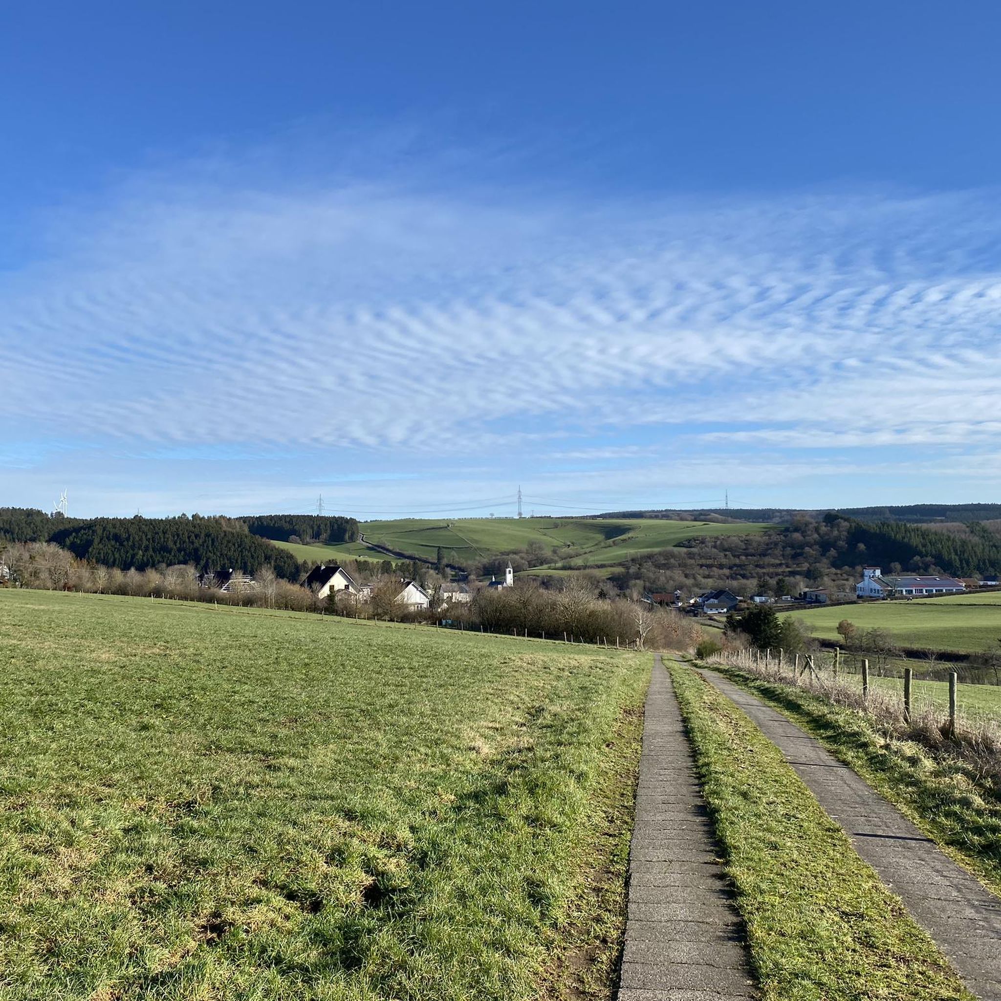
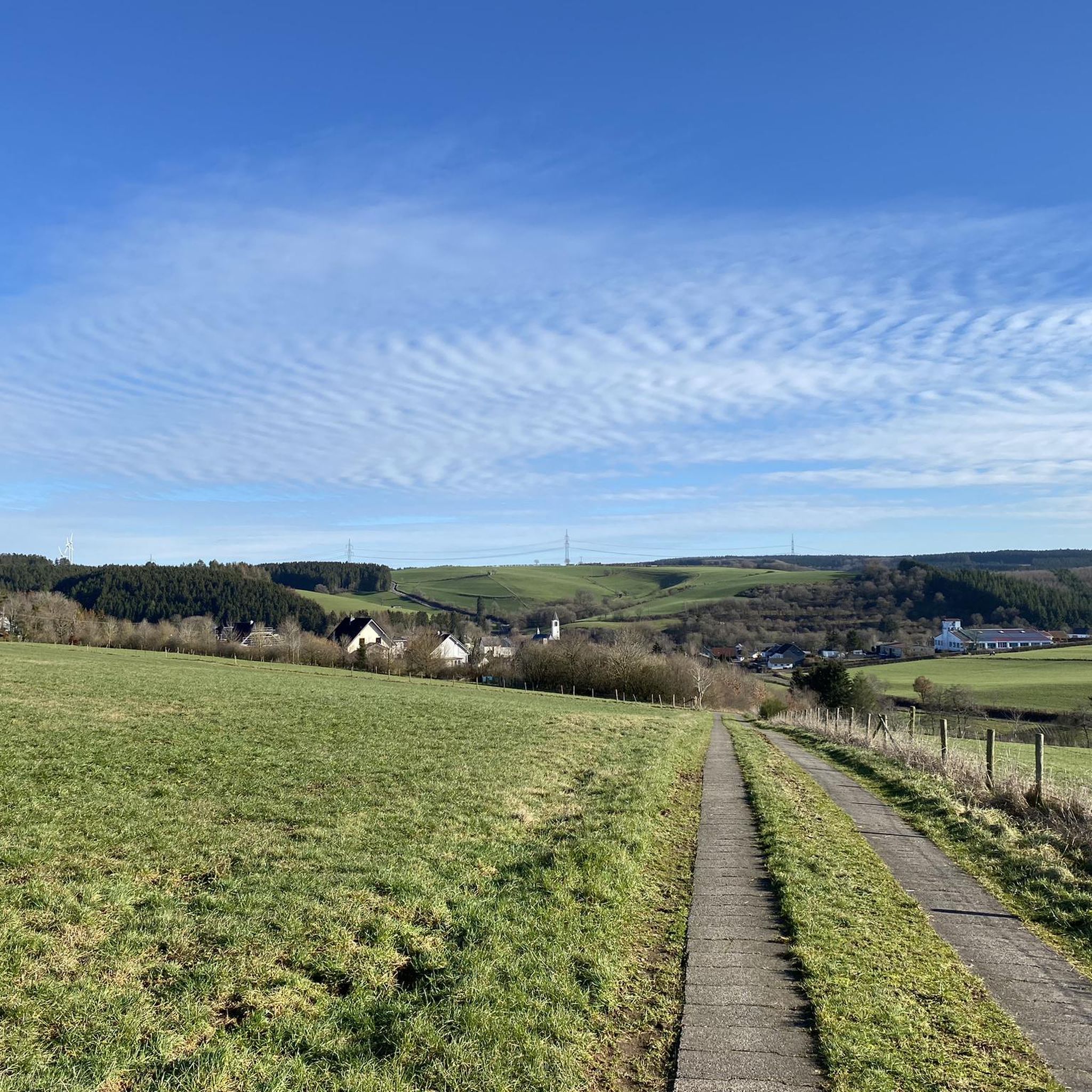
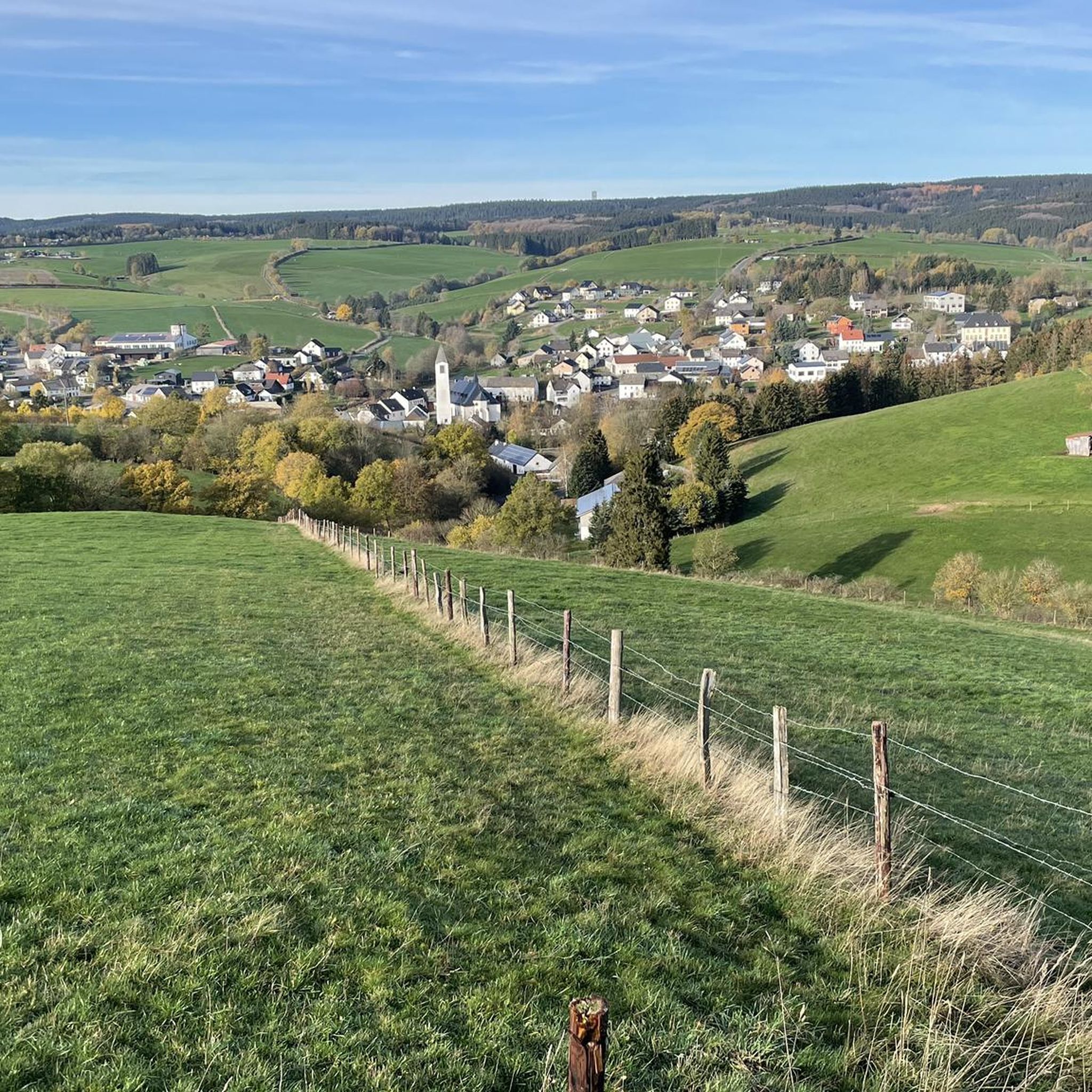
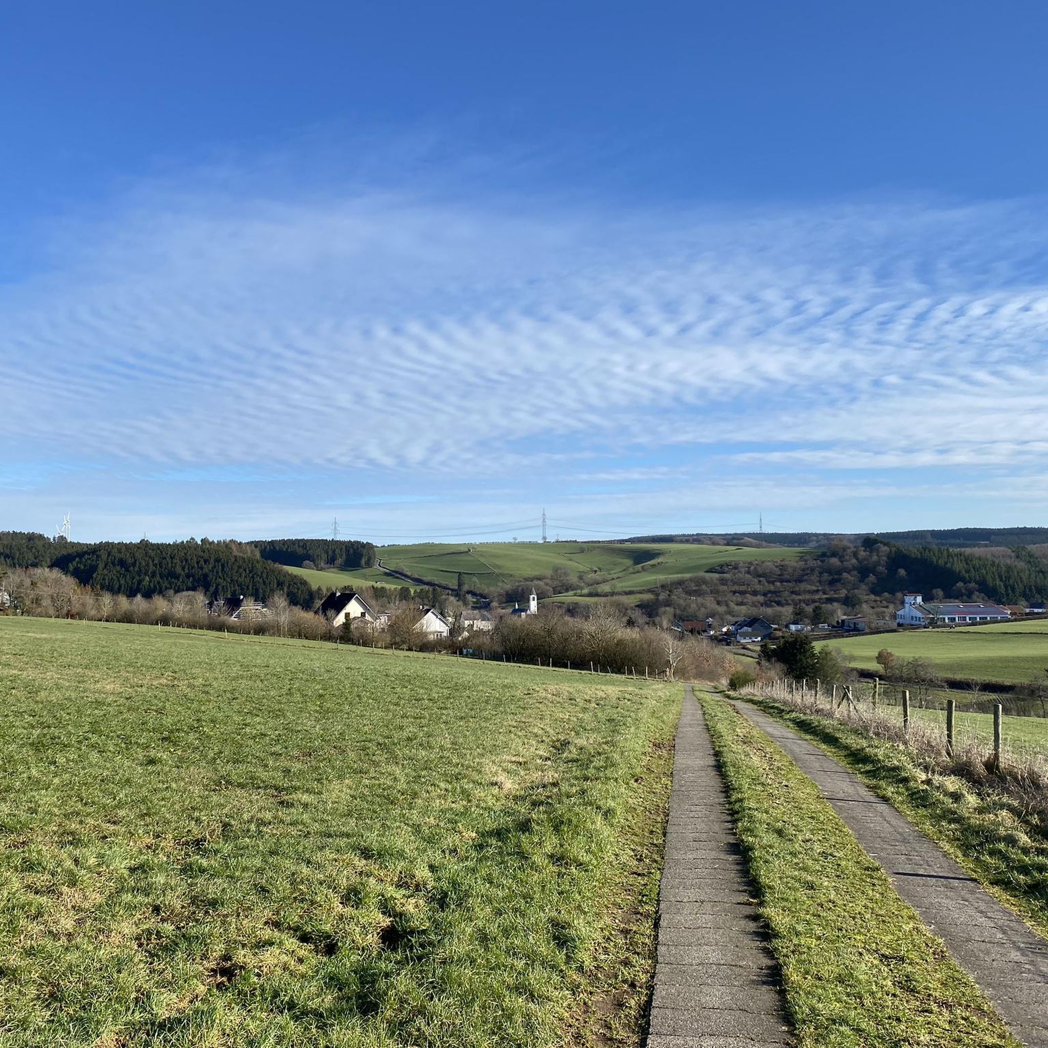
Incredible view over the small village of Olzheim.
0
0

Small hiking car park, picnic benches nearby and children's playground.
0
0
Great view of Olzheim and the surrounding area.
0
0
Small parking lot for hikers. Seating for picnics and a nice children's playground.
0
0

The Willwerath reservoir with 1.62 hectares of water has been the club's water body for the Prüm 1967 e.V. fishing association since 1971, which takes care of the stocking and maintenance work around the lake. Link: https://www.angelverein-pruem.de/stausee-willwerath
2
0
From up here you have a wonderful view of Olzheim.
1
0

Perfect for a picnic
0
0

Anyone who likes small paths through the forest is in good hands here.
0
0
Frequently Asked Questions
How many hiking trails are available around Olzheim?
Olzheim offers a diverse network of over 40 hiking trails. These routes cater to various preferences, ranging from easy strolls to more challenging excursions through the Eifel landscape.
What kind of terrain can I expect on hikes near Olzheim?
The terrain around Olzheim is characterized by the scenic Eifel hills and valleys. You'll find varied landscapes, including paths through dense forests, along the picturesque Kyll and Prüm rivers, and across open fields, offering both gentle slopes and some more challenging ascents.
Are there easy hiking trails suitable for beginners or families in Olzheim?
Yes, Olzheim has plenty of easy hiking options. There are 17 easy routes, perfect for families or those looking for a relaxed walk. An example is the View of Olzheim – View of Olzheim loop from Olzheim, an easy 3.5-mile (5.7 km) path offering pleasant views with minimal elevation gain.
Can I find circular hiking routes in Olzheim?
Absolutely. Many trails around Olzheim are designed as circular routes, allowing you to start and end at the same point. A popular choice is the St. Brictius Church, Olzheim loop from Olzheim, a 4.4-mile (7.2 km) trail that takes you through varied terrain.
Are there any dog-friendly hiking options around Olzheim?
The Eifel region, including the trails around Olzheim, is generally very welcoming to dogs. Most paths through forests and along rivers are suitable for walks with your canine companion, provided they are kept on a leash where necessary. Always remember to bring water for your dog and clean up after them.
What are some scenic viewpoints or natural features to look out for on hikes?
Hikes around Olzheim often provide wonderful views of the village and the surrounding Eifel hills. The Kylltal valley is particularly scenic, with the Kyll river carving picturesque paths. You might also encounter unique natural formations like those near the Leimbach Hut and Unusual Tree Formations.
What cultural or historical landmarks can I explore while hiking in Olzheim?
Beyond its natural beauty, Olzheim offers cultural points of interest. The 12th-century Romanesque parish church of St. Nicholas is notable. Further afield, you can explore the Ruins of Kronenburg Castle or the Historic Kyll Bridge in Kronenburg, which can be incorporated into longer hiking excursions.
How long do hikes around Olzheim typically take?
Hiking durations vary significantly depending on the route and your pace. You can find short walks like the Afelskreuz loop from Olzheim, which takes about 50 minutes, to longer, more moderate trails such as the View of Olzheim – Bridge over the Prüm loop from Olzheim, typically completed in just over 3 hours.
What do other hikers say about the trails in Olzheim?
The trails in Olzheim are highly regarded by the komoot community, boasting an average rating of 4.5 stars from over 90 reviews. Hikers frequently praise the varied terrain, the peaceful forest paths, and the beautiful views of the Eifel landscape.
Are there any huts or shelters along the hiking routes in the area?
Yes, there are several huts and shelters in the broader region around Olzheim that can offer a resting spot or protection from the elements. Examples include the Shelter at Jungfernley and the Manderfeld Hiking Shelter.
What is the best time of year to go hiking in Olzheim?
The Eifel region is beautiful year-round, but spring and autumn are particularly popular for hiking in Olzheim. In spring, the landscape bursts with fresh greenery, and in autumn, the forests display vibrant colors. Summer offers pleasant conditions, while winter can provide serene, snow-covered trails for those prepared for colder weather.
Are there any lakes or water features near the hiking trails?
While the Kyll and Prüm rivers are prominent water features along many trails, the nearby Kronenburger Lake offers a larger body of water for recreation and can be a destination or a scenic point on longer hikes in the wider region.
Most popular attractions around Olzheim

Get inspired with the komoot mobile app


Explore more
Browse the best Hikes in other regions.
