The best cycling routes around Oeversee
4.6
(167)
942
riders
90
rides
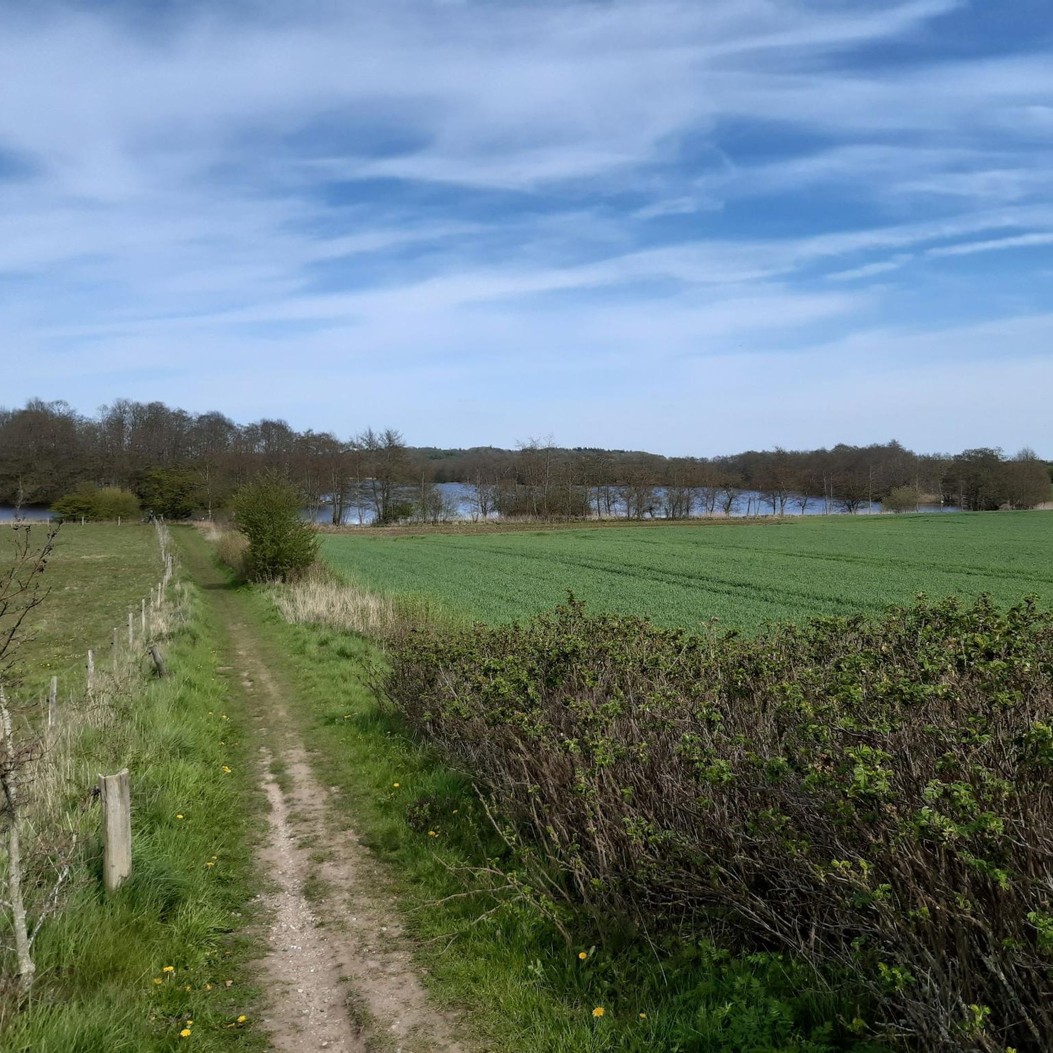
Touring cycling around Oeversee offers varied terrain in Schleswig-Holstein, Germany. The region is characterized by hills, forests, and expansive open spaces, providing diverse scenery for riders. The cycling infrastructure includes a mix of surfaces, with approximately 85% paved roads and 8% gravel sections, traversing quiet roads and dedicated paths. This landscape provides a range of routes suitable for different preferences and abilities.
Best touring cycling routes around Oeversee
- The most popular touring cycling route is Old Stone Arch Bridge –…
Last updated: October 13, 2026
4.7
(11)
41
riders
12.8km
00:45
40m
40m
Easy bike ride. Great for any fitness level. Mostly paved surfaces. Suitable for all skill levels.
5.0
(4)
30
riders
33.6km
01:57
70m
70m
Hard bike ride. Great for any fitness level. You may need to push your bike for some segments of this route.

4.8
(9)
80
riders
29.0km
01:43
110m
110m
Hard bike ride. Great for any fitness level. You may need to push your bike for some segments of this route.
4.3
(11)
40
riders
12.4km
00:45
30m
30m
Easy bike ride. Great for any fitness level. Mostly paved surfaces. Suitable for all skill levels.
4.7
(7)
30
riders
Moderate bike ride. Good fitness required. Mostly paved surfaces. Suitable for all skill levels.
Get access to more routes and recommendations from other explorers.
Already have an account?
Our route recommendations are based on thousands of hikes, rides, and runs completed by other people on komoot.
Start today with a free account
Your next adventure awaits.
Popular around Oeversee
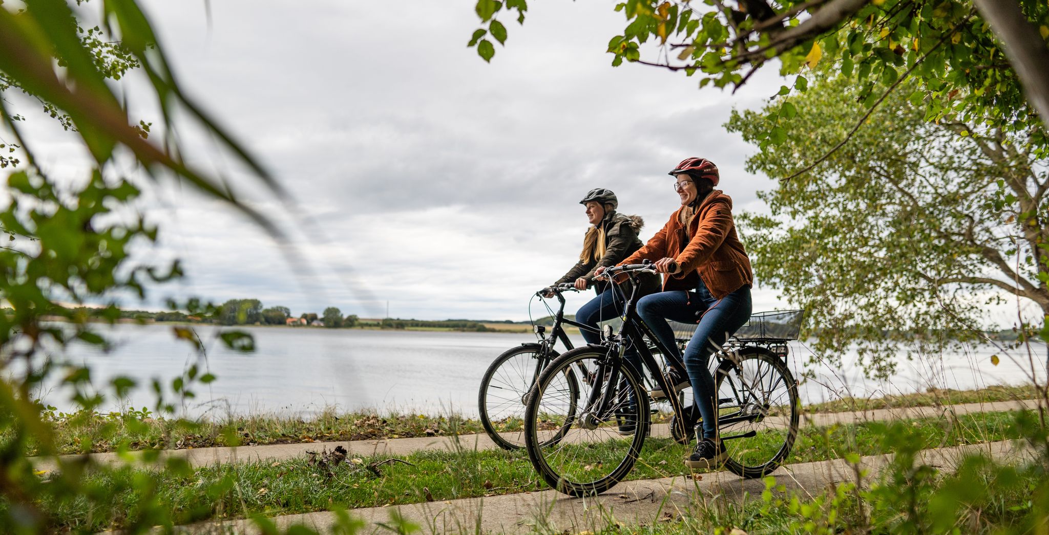
Cycling in Germany’s northern Binnenland – cycle paths through flat landscapes
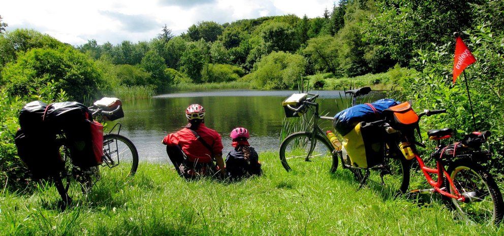
Mini-Radreiseregion Treenelandschaft
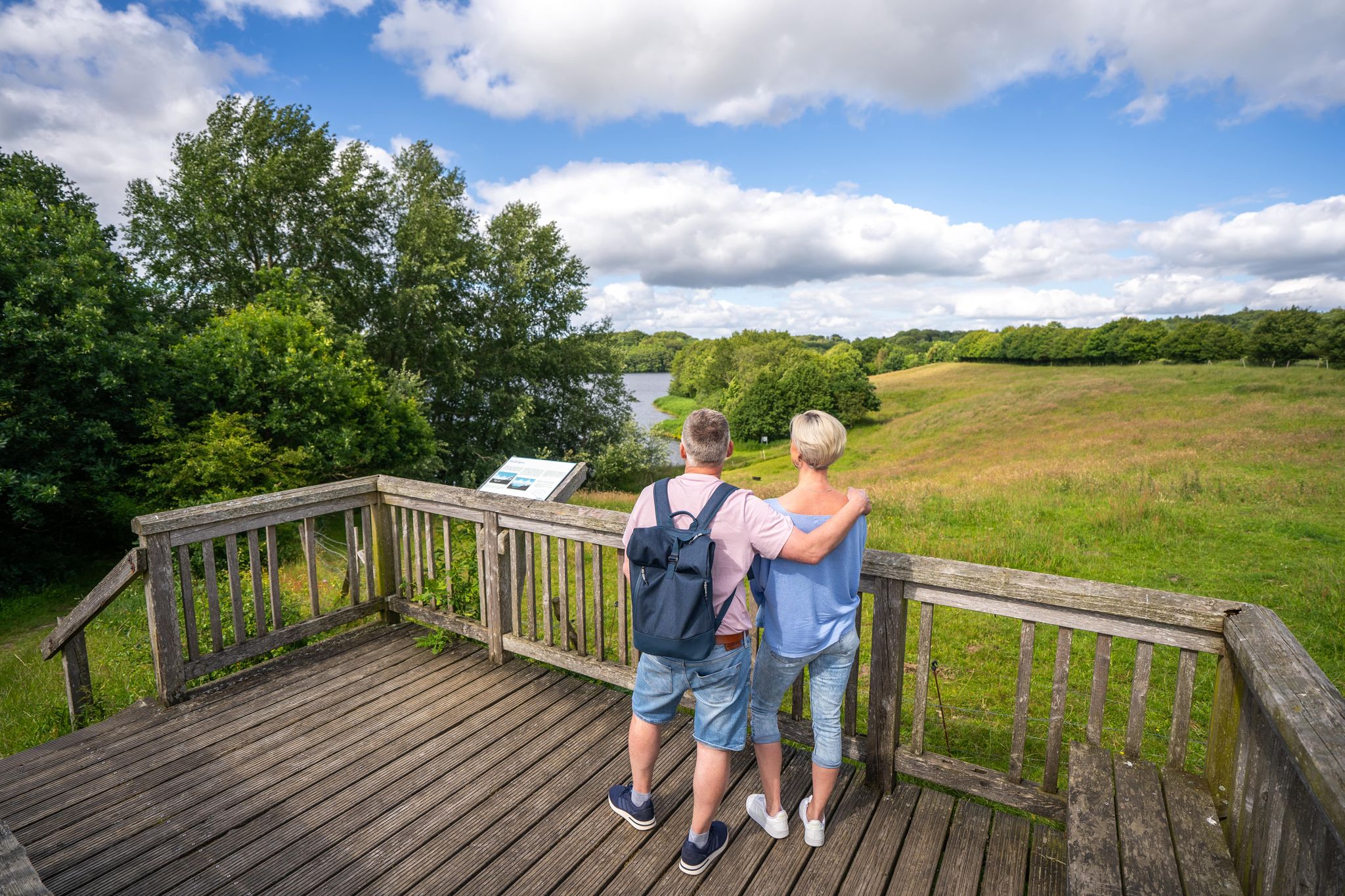
Wandern in Oeversee - Tarp - Sieverstedt im Norden von Schleswig-Holstein
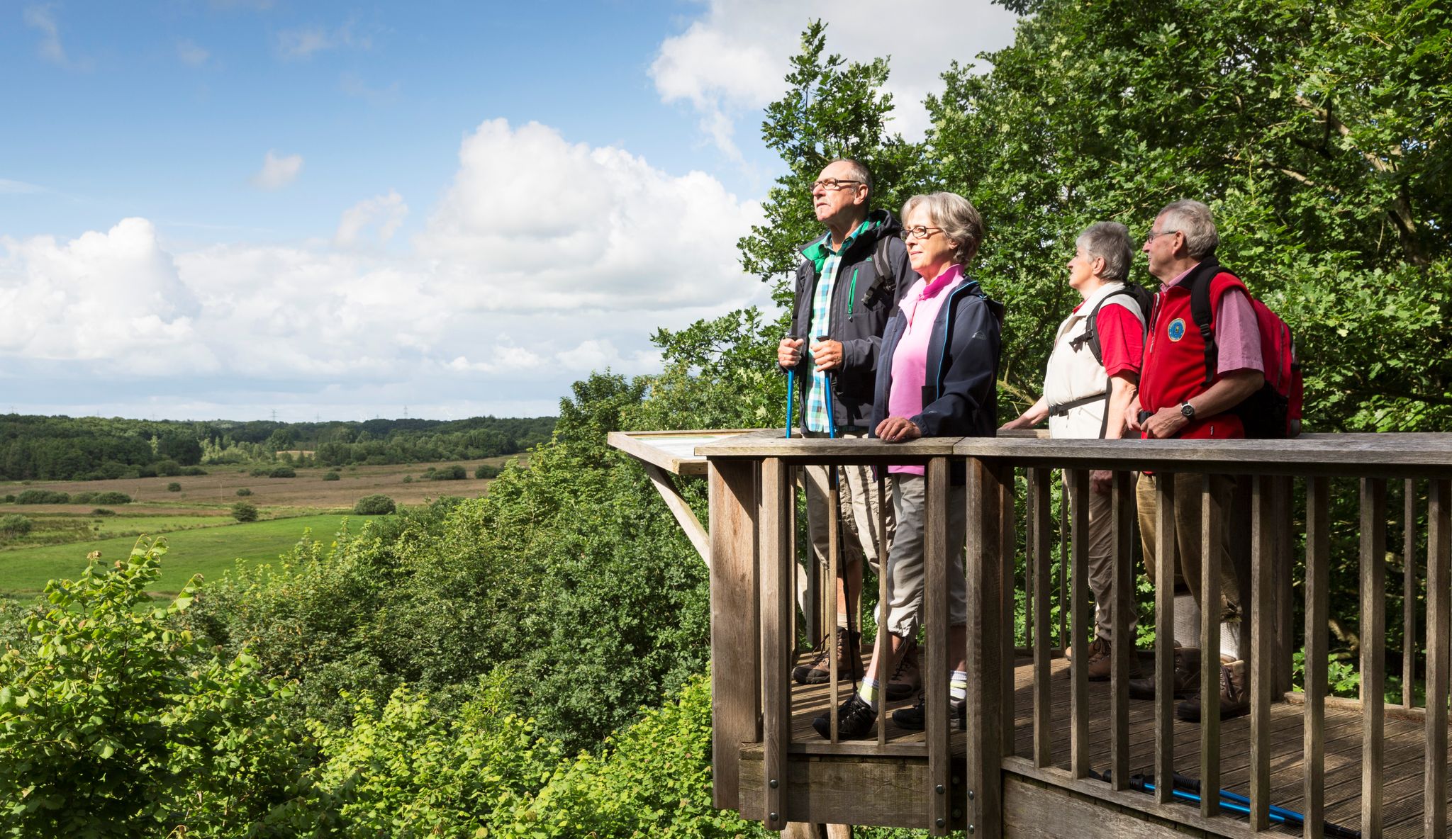
Wandern im Grünen Binnenland
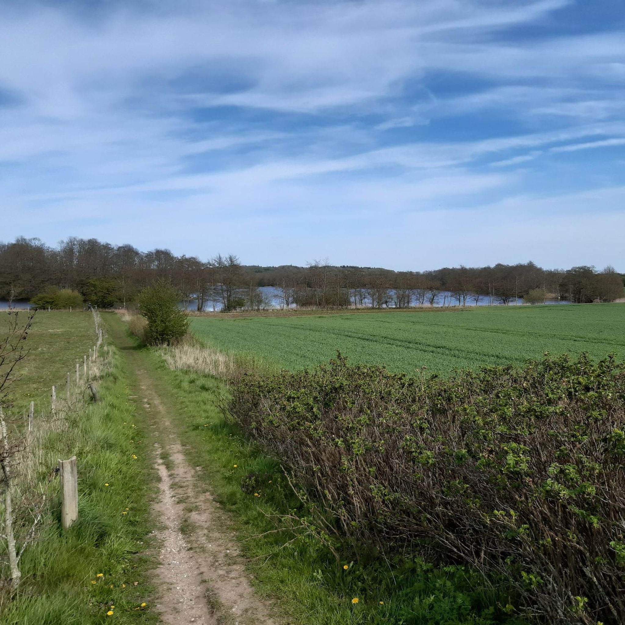
Hiking around Oeversee
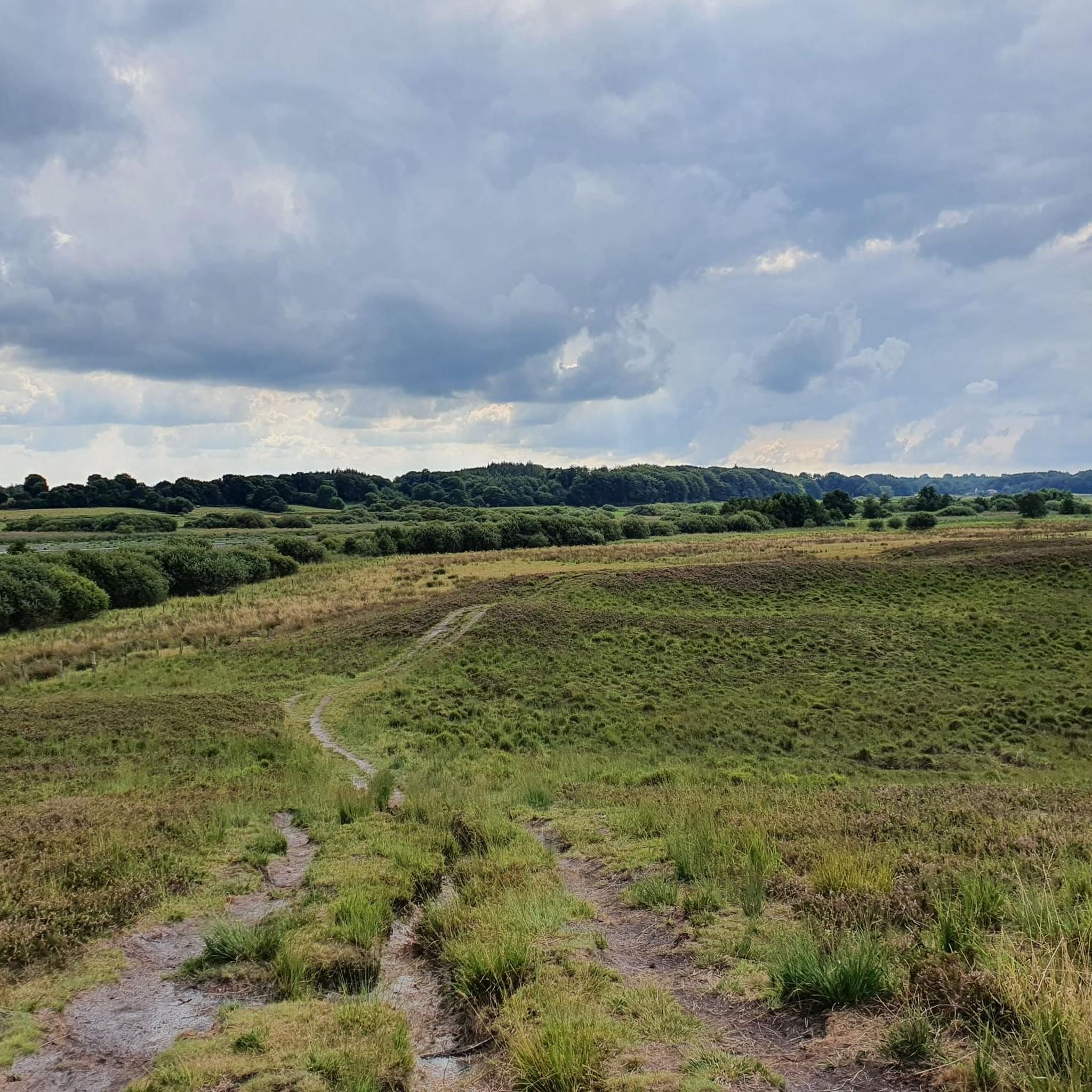
Running Trails around Oeversee
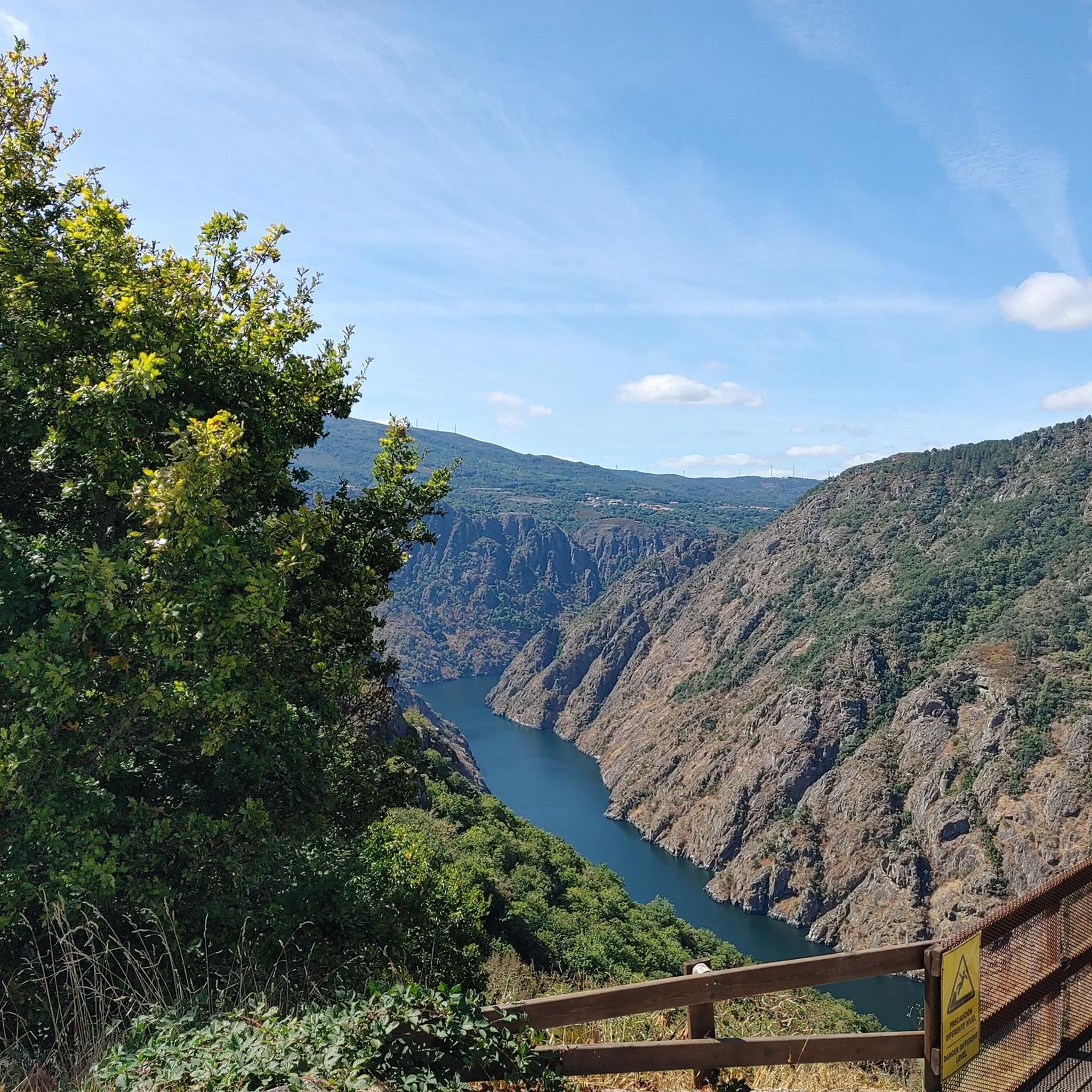
Gravel biking around Oeversee
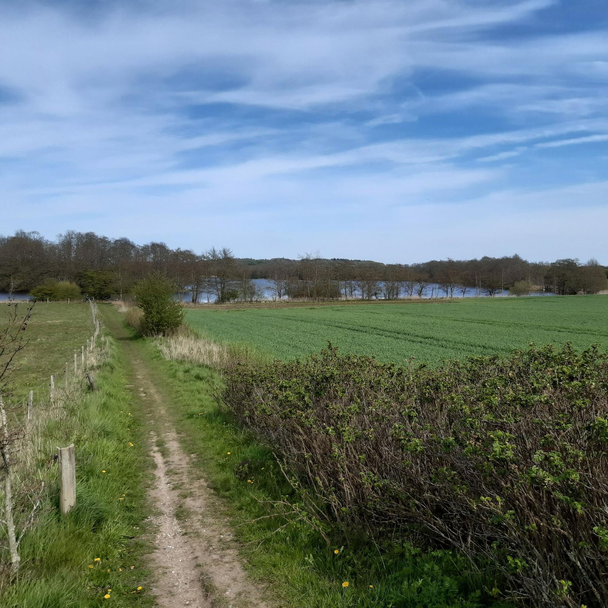
MTB Trails around Oeversee
Road Cycling Routes around Oeversee
Other adventures around Oeversee


Tips from the Community

Rest at Juhlsee. Enjoy the peace and the view
0
0

A pretty church with an imposing church tower built of fieldstones...
1
0

Very nice path along the fjord with great views of the water
0
0

Solitüde in Flensburg is a picturesque district on the eastern shore of the Flensburg Fjord in the Mürwik district, combining nature, history, and relaxation in a very special way. The name "Solitüde" comes from the French (solitude) and means "solitude" – a term that aptly describes the original atmosphere of the place when Baron Schack von Brockdorff had his secluded country estate built here in the mid-19th century. This naming was granted with royal approval and reflects the secular-romantic longing for seclusion at the time. Today, Solitüde is a popular local recreation area with a fine sandy beach, flat dunes, a bathing area with a jetty, and a protected forest garden nestled among forests and steep cliffs. In summer, the DLRG (German Lifesaving Association) ensures safety, and access is free. Historically, Solitüde came alive as a beach destination in the 1920s: After the First World War and the separation of the northern shore of the fjord by referendum, many Flensburg residents surprisingly turned to the southern shore. This marked the beginning of Solitüde's rise as a popular beach – aided by the enormous dredging of several hundred thousand cubic meters of sand between 1922 and 1923.
2
0
Meierwik is a small bay on the Flensburg Fjord in the city of Glücksburg, characterized by its tranquil shoreline and natural setting. The view of the fjord offers expansive views across the water to the opposite coastlines, framed by wooded slopes and a shoreline of rockfall and vegetation. The area is characterized by a moraine ridge dating back to the last Ice Age, as well as moist lowlands in the hinterland. The geological structure is typical of the fjord region and provides a vivid picture of postglacial landscape development. Access to the shore in Meierwik is provided via the shore road, where a small parking lot is available. From here, short walks or longer hikes are possible. The section of the Fördesteig trail, which leads from Meierwik along the Tremmerup Forest and past Lake Roikier, is particularly popular. These trails combine views of the fjord with the diverse natural surroundings in the hinterland.
3
0

Good place to take a break and look around
0
0

St. George's Church is a round-towered church from the 12th century in Oeversee. The Oeversee Church is one of the earliest church buildings in the Danish March, later the Duchy of Schleswig. It was dedicated to Saint George, the patron saint of travelers. Its construction probably began under the Schleswig Bishop Adelbert (1120–1135). The massive round tower with loopholes suggests its use as a fortified church. The access to the nave through the tower was later walled up and only reopened in 1931. Until then, men entered the church through the southern portal and women through the northern portal, which is now partially walled up. In the 18th century, the tower received a Baroque cap. Originally, the church was a simple fieldstone church, with the choir and nave covered with a flat ceiling. The choir was vaulted in 1497, and the nave around 1530. The entire vault was painted. The paintings were painted over in 1620. During the renovation in 1965, these original paintings were rediscovered and restored. The oldest items in the inventory, the altar table and the baptismal font, date back to the time of construction. They are made of limestone and were imported from Gotland. The baptismal font was later replaced by a Rococo font and served as a flower box for several centuries before being returned to the church in 1965 with a new base. The altarpiece features five consecration crosses. The Baroque altarpiece from 1736 has been located on the north wall of the nave since the renovation in 1965. Two oil paintings are located between two pillars, the main one depicting the Crucifixion, and below it, the Last Supper of Jesus. The triumphal cross dates from the time the choir was painted around 1500. Two roughly contemporary wooden sculptures of Saints George and John the Baptist are located in Gottorf Castle. The pulpit was created in the Renaissance style at the beginning of the 17th century in the workshop of the woodcarver Heinrich Ringerink in Flensburg. It depicts scenes from the life of Jesus in relief, explained using Latin biblical texts, framed by female figures symbolizing the virtues of faith, hope, wisdom, love, kindness, justice, courage, temperance, sobriety, and patience. https://de.wikipedia.org/wiki/St.-Georg-Kirche_(Oeversee)#Ausmalung
3
0
Frörup has an old water-powered mill, driven by the Treene River and used for grinding grain. It was probably established in the 13th century. Later, the mill belonged to the Cistercian monastery of Rüde. The abbot there ceded the mill to the King of Denmark in 1543. Today, the mill is privately owned, and the waterwheel is used only for generating electricity. Unfortunately, visits are not possible. https://de.wikipedia.org/wiki/Fr%C3%B6rup
2
1
Frequently Asked Questions
What kind of terrain can I expect on touring cycling routes in Oeversee?
The Oeversee region is characterized by hills, forests, and expansive open spaces, providing diverse scenery. The cycling infrastructure features a mix of surfaces, with approximately 85% paved roads and 8% gravel sections, traversing quiet roads and dedicated paths.
Are there touring cycling routes suitable for beginners or families in Oeversee?
Yes, Oeversee offers many routes suitable for beginners and families. For example, the Old Stone Arch Bridge – View of the Treßsee loop from Oeversee is an easy 15.9 km trail that takes about 58 minutes to complete, offering pleasant views of the Treßsee lake. Another easy option is the Arnkiel Park Megalithic Tombs – View of Frörup Watermill loop from Sankelmark, which is 32.7 km long and passes by ancient megalithic tombs.
Are there any more challenging touring cycling routes in Oeversee for experienced riders?
While many routes are easy, there are also options for more experienced cyclists. For instance, the Wooden Bridge Over the Treene – View of Frörup Watermill loop from Sankelmark is classified as a difficult route, spanning 32.9 km. Overall, 12 of the 95 routes in the area are rated as difficult, providing a good challenge.
What natural attractions can I discover while cycling in Oeversee?
Many routes offer views of the region's natural beauty. You can explore areas like the Fröruper Hills Nature Reserve, or pass by several lakes such as the Western shore of Lake Roikier, Schmidt's meadow pond, and Sankelmarker Lake.
Are there any circular touring cycling routes in Oeversee?
Yes, many of the touring cycling routes around Oeversee are circular, allowing you to start and end at the same point. Examples include the Old Stone Arch Bridge – View of the Treßsee loop from Oeversee and the View of Frörup Watermill – Antje Windmill (Tarp) loop from Oeversee, which is a shorter 9.1 km loop.
What do other cyclists say about the touring routes in Oeversee?
The touring cycling routes in Oeversee are highly rated by the komoot community, with an average score of 4.6 stars from over 150 reviews. Nearly 900 touring cyclists have used komoot to explore the varied terrain, often praising the quiet roads, diverse scenery, and well-maintained paths.
Are there places to stop for refreshments or rest along the routes?
Yes, you can find various spots to rest and refuel. For example, Ben's Fischhütte offers a place to eat. Additionally, there are several shelters available, such as the Wooden Shelter by the Pilgrims' Trail and the Shelter on the Angelboweg, which are perfect for a short break.
What is the best time of year for touring cycling in Oeversee?
The region's diverse landscapes, with hills, forests, and open spaces, are enjoyable throughout the warmer months. Spring and autumn offer pleasant temperatures and beautiful scenery, while summer provides longer daylight hours. Winter cycling is possible, but conditions may vary, and some paths might be less accessible.
Are there any historical landmarks or points of interest along the touring cycling routes?
Yes, some routes pass by interesting historical sites. For instance, the Arnkiel Park Megalithic Tombs – View of Frörup Watermill loop from Sankelmark takes you past ancient megalithic tombs, offering a glimpse into the region's past.
How many touring cycling routes are available in Oeversee?
There are over 95 touring cycling routes around Oeversee, providing a wide array of choices for cyclists of all abilities.
Where can I find parking for touring cycling routes in Oeversee?
While specific parking areas are not detailed for every route, many routes, especially those starting from towns like Oeversee or Sankelmark, typically have public parking available nearby. It's advisable to check local signage upon arrival for designated parking spots.
Most popular attractions around Oeversee

Get inspired with the komoot mobile app


Explore more
Browse the best Cycling routes in other regions.
