The best road cycling routes around Oettersdorf
4.7
(107)
732
riders
100
rides
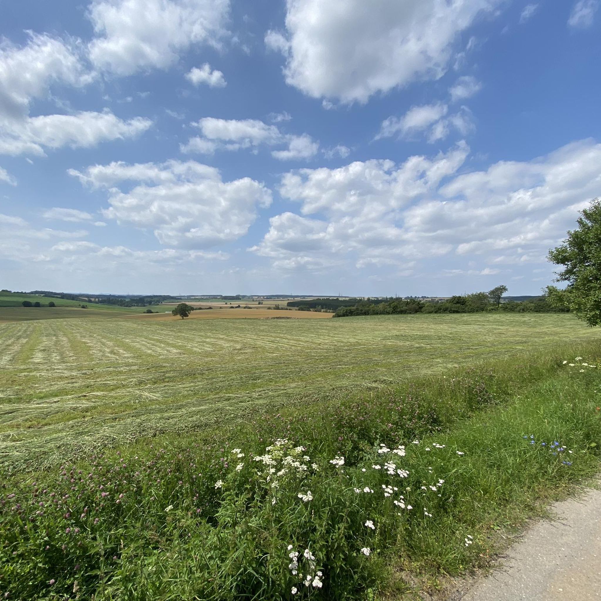
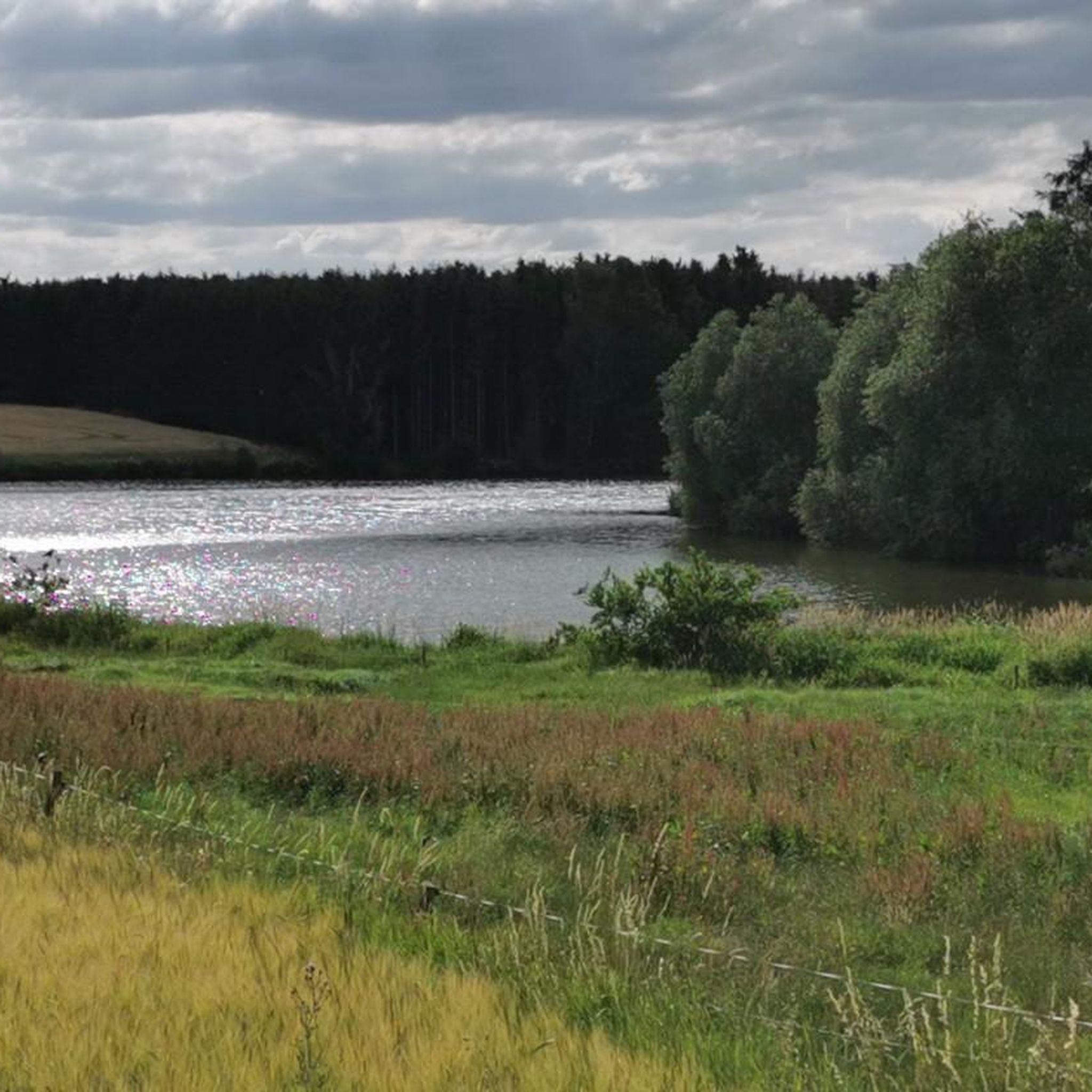
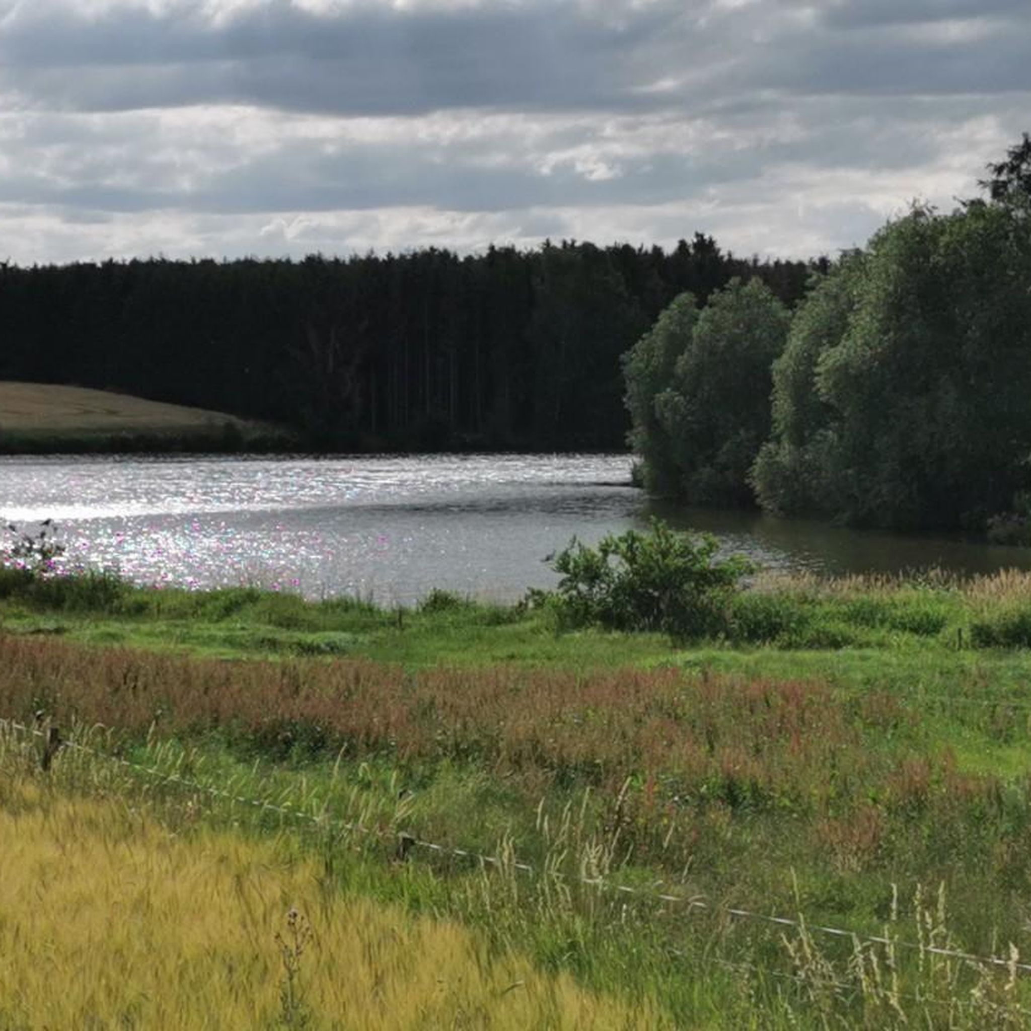
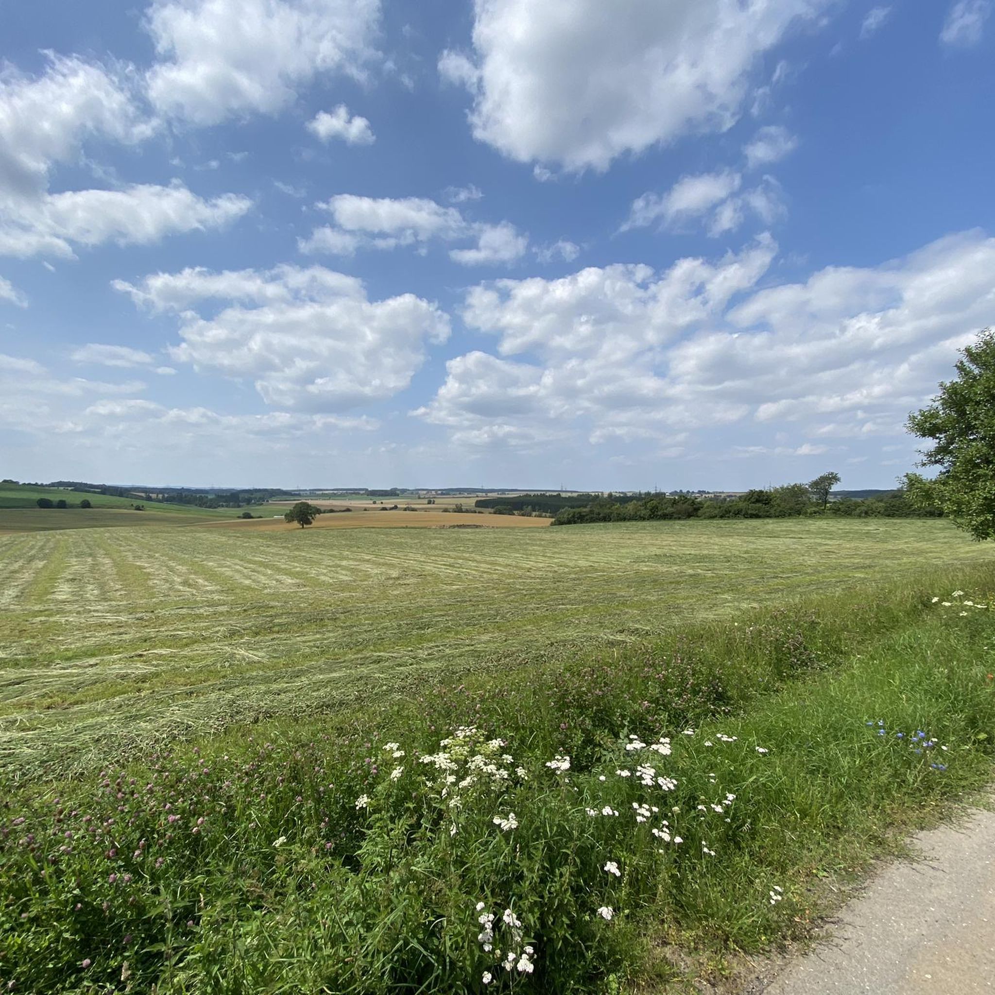
Road cycling around Oettersdorf offers a diverse landscape characterized by rolling hills, river valleys, and expansive reservoirs. The region features a mix of open countryside and forested sections, providing varied terrain for road cyclists. Elevation changes are common, with routes traversing both gentle slopes and more challenging ascents.
Best road cycling routes around Oettersdorf
- The most popular road cycling route is Bleiloch Reservoir – Bleiloch Dam loop from Schleiz, a 24.0 miles (38.6 km) trail that takes 1 hour…
Last updated: July 9, 2026
4.5
(11)
55
riders
38.6km
01:50
520m
520m
Moderate road ride. Good fitness required. Mostly well-paved surfaces and easy to ride.
4.8
(6)
45
riders
30.3km
01:25
340m
340m
Moderate road ride. Good fitness required. Mostly well-paved surfaces and easy to ride.

Sign up for free
5.0
(2)
5
riders
56.0km
02:44
730m
730m
Moderate road ride. Good fitness required. Mostly well-paved surfaces and easy to ride.
3
riders
29.2km
01:31
270m
270m
Moderate road ride. Great for any fitness level. Some segments of this route may be unpaved and difficult to ride.
4
riders
29.9km
01:25
290m
290m
Easy road ride. Great for any fitness level. Mostly well-paved surfaces and easy to ride.
Get access to more routes and recommendations from other explorers.
Sign up for free
Already have an account?
Our route recommendations are based on thousands of hikes, rides, and runs completed by other people on komoot.
Start today with a free account
Your next adventure awaits.
Login or Signup
Tips from the Community

The church's origins date back to the 13th century. The church tower with its curved spire dates from the Baroque period. In 1870, the church was completely rebuilt in the Neo-Gothic style.
0
0

Many relaxing benches and picnic areas are located here on the edge of the weir.
15
0
A beautiful stilt house on the pond in Plothen 🤩.
17
0

Beautiful and well-preserved town hall here in the town center
3
0

A very beautiful viaduct.
3
0


From Knau to Pothen, the only way is via a detour. The direct route (up Knau Hill, at the very end on the left) is impassable after 2.5 km. As of June 18, 2025. Instead, you turn right and have to walk about 3 km through the forest – beautiful in itself, but with a racing bike, it's a bit of a worry.
0
0

great weather, nice tour
0
0
Frequently Asked Questions
What kind of terrain can I expect when road cycling around Oettersdorf?
The Oettersdorf region offers a diverse landscape for road cyclists, characterized by rolling hills, picturesque river valleys, and expansive reservoirs. You'll encounter a mix of open countryside and forested sections, with elevation changes ranging from gentle slopes to more challenging ascents.
How many road cycling routes are available in the Oettersdorf area?
There are over 100 road cycling routes around Oettersdorf, catering to various skill levels. This includes 17 easy routes, 67 moderate routes, and 20 more challenging options.
Are there easy road cycling routes suitable for beginners in Oettersdorf?
Yes, Oettersdorf offers several easy road cycling routes perfect for beginners. For example, the St. Antonius Church – St. Trinitatis Church Plothen loop from Seenplatte is an easy 18.6-mile (29.9 km) route with manageable elevation changes.
What do other road cyclists enjoy most about the routes in Oettersdorf?
The road cycling routes in Oettersdorf are highly rated by the komoot community, with an average score of 4.7 stars from over 100 reviews. Cyclists often praise the varied terrain, scenic reservoir views, and the mix of open countryside and forested sections.
Can I find longer road cycling routes in the Oettersdorf region?
Yes, the area features several longer routes for those seeking more distance. The Knau Manor – Saale Weir, Ziegenrück loop from Schleiz is a substantial 34.8-mile (56.0 km) trail that takes you through river valleys and past historical sites.
Are there any circular road cycling routes around Oettersdorf?
Many of the road cycling routes in Oettersdorf are designed as loops, offering convenient starting and ending points. A popular example is the Bleiloch Reservoir – Bleiloch Dam loop from Schleiz, which provides scenic views of the reservoir.
What are some scenic viewpoints or attractions I can see along the road cycling routes?
Along your rides, you can discover various scenic spots and attractions. Consider visiting the Upper Röhrensteig for panoramic views, or explore the unique Kobersfelsen natural monument. The Paved Cycle Path Ziegenrück–Walsburg Along the Saale also offers picturesque river views.
Are there any shelters or huts along the road cycling routes in Oettersdorf?
While cycling, you might come across various shelters and huts. Notable spots include the Shelter at Fürstenteich and the Angler's Dream Shelter at Zeulenroda Reservoir, which can offer a brief respite.
What is the best time of year for road biking in Oettersdorf?
The spring, summer, and early autumn months generally offer the most pleasant conditions for road cycling in Oettersdorf, with milder temperatures and lush landscapes. Always check the local weather forecast before heading out.
Are there challenging road cycling routes for experienced riders in Oettersdorf?
Yes, for experienced riders seeking a challenge, Oettersdorf offers 20 difficult road cycling routes. These routes typically feature more significant elevation gains and longer distances, providing a rewarding workout.
Where are common starting points for road cycling routes around Oettersdorf?
Many routes conveniently start from towns like Schleiz, which serves as a hub for several popular loops. Routes often begin near central points or accessible areas within these towns, making them easy to find.
Are there road cycling routes that follow river valleys in the Oettersdorf area?
Yes, the region is characterized by its river valleys, and several routes follow these scenic paths. The Wetterabrücke – Market Square Saalburg (Saale) loop from Schleiz, for instance, closely follows the Saale river, passing through the town of Saalburg.
Most popular routes around Oettersdorf
Most popular attractions around Oettersdorf

Get inspired with the komoot mobile app


Explore more
Browse the best Road cycling routes in other regions.
