The best road cycling routes around Oberweiler im Tal
4.5
(87)
1,179
riders
104
rides
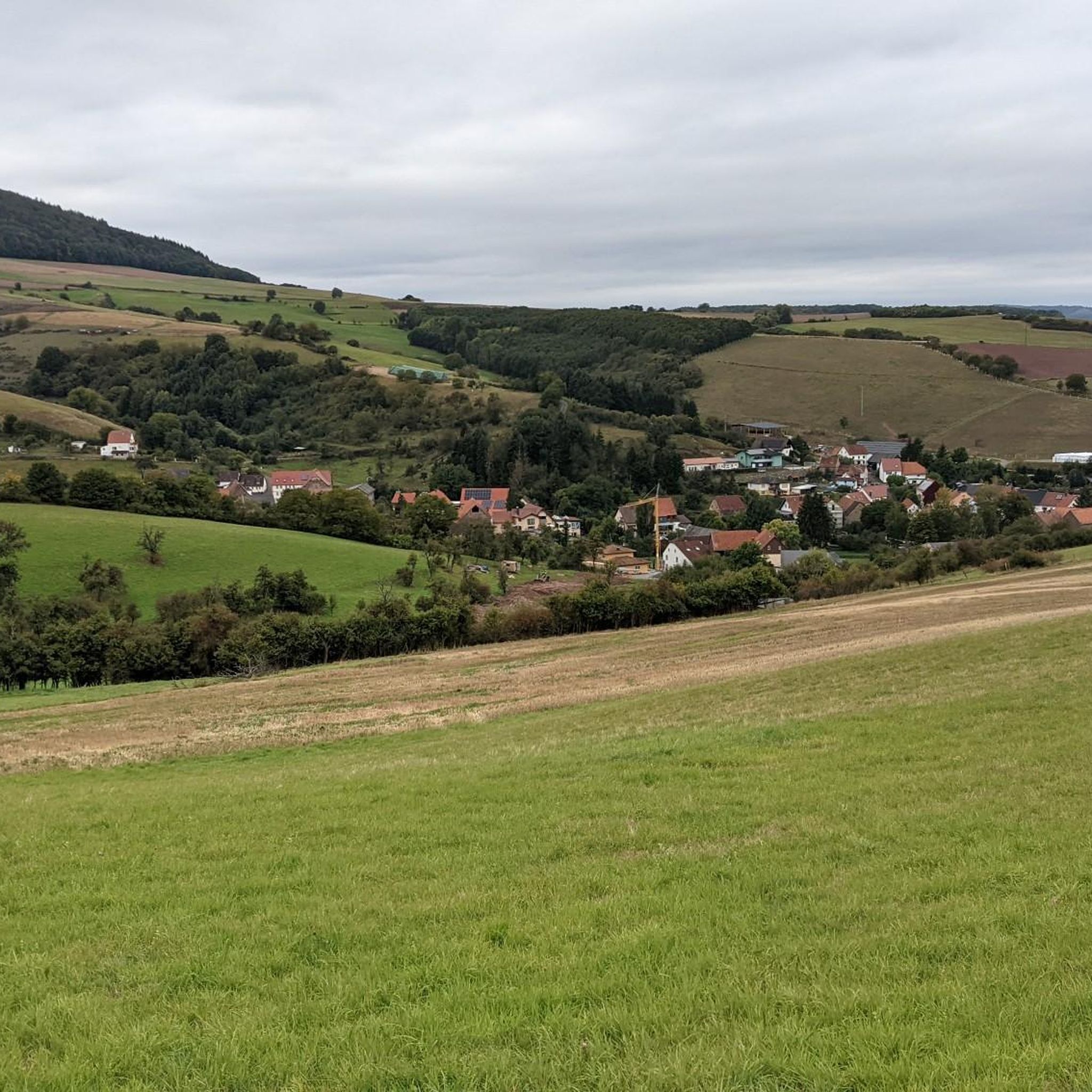
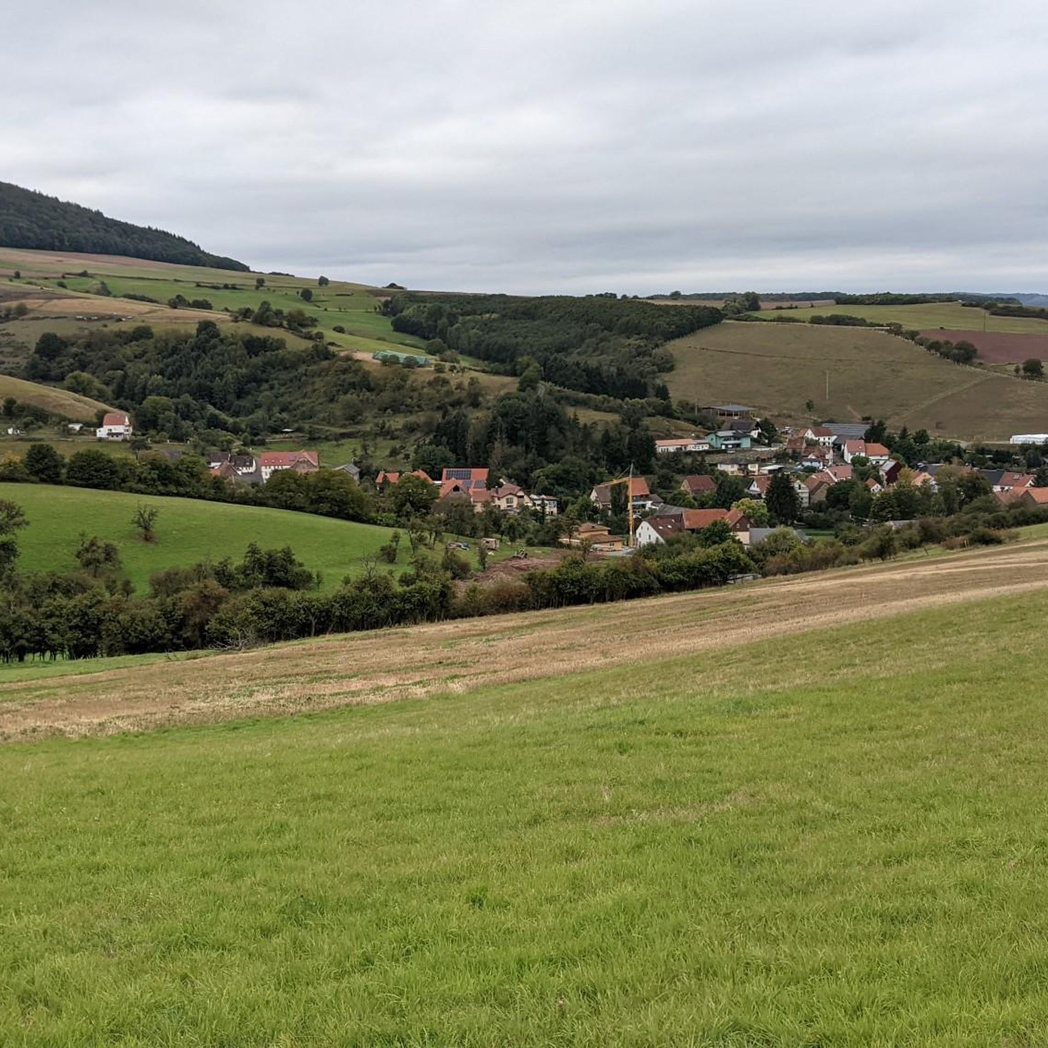
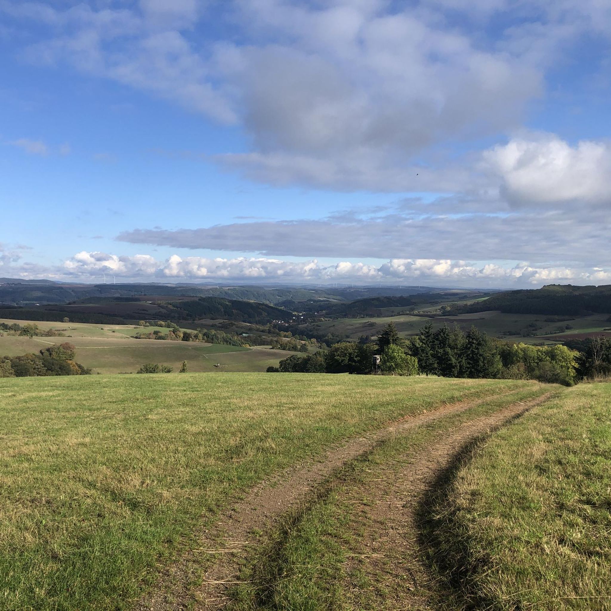
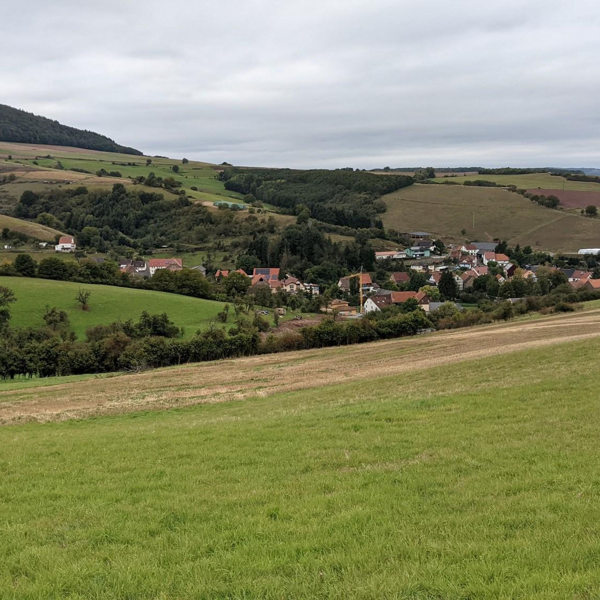
Road cycling routes around Oberweiler im Tal traverse a landscape characterized by varied terrain, including winding roads and river valleys. The region offers a mix of gentle gradients and more challenging sections, often passing through rural settings and historic towns. Road cyclists can expect routes that navigate both open countryside and areas with some elevation changes.
Best road cycling routes around Oberweiler im Tal
- The most popular road cycling route is New Cycle Path – Winding road to Rothselberg loop…
Last updated: July 8, 2026
5.0
(1)
29
riders
43.6km
01:57
390m
390m
Moderate road ride. Good fitness required. Mostly well-paved surfaces and easy to ride.
4.8
(4)
21
riders
35.2km
01:29
240m
240m
Easy road ride. Great for any fitness level. Mostly well-paved surfaces and easy to ride.

Sign up for free
12
riders
Moderate road ride. Good fitness required. Some segments of this route may be unpaved and difficult to ride.
11
riders
Easy road ride. Great for any fitness level. Mostly well-paved surfaces and easy to ride.
5.0
(2)
7
riders
24.1km
01:04
240m
250m
Easy road ride. Great for any fitness level. Mostly well-paved surfaces and easy to ride.
Get access to more routes and recommendations from other explorers.
Sign up for free
Already have an account?
Our route recommendations are based on thousands of hikes, rides, and runs completed by other people on komoot.
Start today with a free account
Your next adventure awaits.
Login or Signup

Tips from the Community

Since I know what I'm talking about, I've reported it. Nonsense facts and 2 places thrown together... plus duplicate, the main thing is to have created something here....
0
0

An absolutely great viewpoint with a beautiful panoramic bench. From up here you can see the entire Westrich and the surrounding communities. Approx. 50 m further is the Emmetswieserhof where you can also take a nice break. This viewpoint near Eulenbis is also part of the Nordpfälzer Höhenradweg. If you drive up into the village, you will also reach the viewpoint at the Eulenkopfturm and the restaurant at the Eulenkopfturm. From up there you also have a super view of the Bexbach power plant and the Potzberg.
0
0


The wolf fountain on the town hall square in Wolfstein pays homage to the town's name, which dates back to a historic noble line, the Lords of Wolfstein. The wolf in the fountain symbolizes the naming and, as a heraldic animal, represents the town's historical connection to this line, which named itself after the town in the late 13th century.
3
0

Old steam locomotive that is now exhibited as a tourist attraction in Otterbach
2
0
A historical highlight with a miniature train, railway romance, and home-brewed Bachbahn beer—ideal for an enjoyable break on the old railway embankment.
2
0

Great cycle path highly recommended
0
0
drives nicely, despite public road
1
0
Frequently Asked Questions
How many road cycling routes are available around Oberweiler im Tal?
There are over 110 road cycling routes available in the Oberweiler im Tal area, offering a wide range of options for different skill levels.
Are there easy road cycling routes suitable for beginners in Oberweiler im Tal?
Yes, the region offers a good selection of easy routes. For instance, the Town Hall Square Wolfstein – View of the Glan River loop from Wolfstein is an easy 21.9-mile (35.2 km) path that features generally flatter sections and views of the Glan River, making it suitable for less experienced riders.
What is the typical duration of road cycling routes in the Oberweiler im Tal area?
Route durations vary, but many popular routes can be completed within 1.5 to 2.5 hours. For example, the New Cycle Path – Winding road to Rothselberg loop from Wolfstein typically takes around 1 hour 57 minutes, while the Town Hall Square Wolfstein – Historic Old Town of Wolfstein loop from Wolfstein is often completed in about 1 hour 44 minutes.
Are there challenging road cycling routes or climbs in the Oberweiler im Tal region?
Yes, for those seeking more challenge, there are 31 difficult road cycling routes. Routes like the New Cycle Path – Winding road to Rothselberg loop from Wolfstein, with its winding roads and varied elevation, offer more demanding sections for experienced cyclists.
What is the best season for road cycling in Oberweiler im Tal?
The region's varied terrain, including river valleys and open countryside, makes it enjoyable for road cycling primarily from spring through autumn. These seasons offer pleasant temperatures and generally good road conditions for exploring the area.
Are there circular road cycling routes available around Oberweiler im Tal?
Yes, many of the road cycling routes in the area are circular, allowing you to start and end in the same location. Examples include the Altenglan Draisine Station – Reichenbachtal Cycle Path loop from Friedelhausen and the Roadbike loop from Eßweiler.
What kind of scenery can I expect on road cycling routes in Oberweiler im Tal?
Road cycling routes around Oberweiler im Tal traverse a landscape characterized by winding roads, river valleys, and historic towns. You can expect to pass through rural settings, open countryside, and areas with some elevation changes, offering diverse views.
What do other road cyclists enjoy most about road cycling in Oberweiler im Tal?
The area is highly rated by the komoot community, with an average score of 4.4 stars from over 60 reviews. Cyclists often praise the varied terrain, which includes both gentle gradients and more challenging sections, as well as the scenic routes through historic towns and river valleys.
Are there any interesting natural landmarks to see along the road cycling routes?
Yes, the region features several natural monuments. You might encounter highlights such as the Erdesbach Weir on the Glan or the Königsberg Summit, offering scenic points of interest during your ride.
Are there any historical sites or caves near the road cycling routes?
Yes, the area around Oberweiler im Tal has historical sites and caves that can be explored. Notable highlights include the Pfälzer Mut Mine Tunnel and various caves like the Erzenhausen Dripstone Cave, which are interesting points to visit off the bike.
Where can I find parking for road cycling routes in Oberweiler im Tal?
While specific parking details for every route are not listed, many routes, such as those starting from 'Town Hall Square Wolfstein', originate in towns. It is generally advisable to look for public parking facilities within these starting towns like Wolfstein or Friedelhausen.
Is public transport available to access road cycling routes around Oberweiler im Tal?
Specific public transport connections for each route are not detailed. However, the region is generally accessible, and local bus or train services might connect to larger towns near route starting points. It's recommended to check local transport schedules for connections to towns like Wolfstein or Altenglan.
Most popular routes around Oberweiler im Tal
Most popular attractions around Oberweiler im Tal

Get inspired with the komoot mobile app


Explore more
Browse the best Road cycling routes in other regions.
