The best walks and hikes around Obertiefenbach
4.6
(417)
1,582
hikers
17
hikes
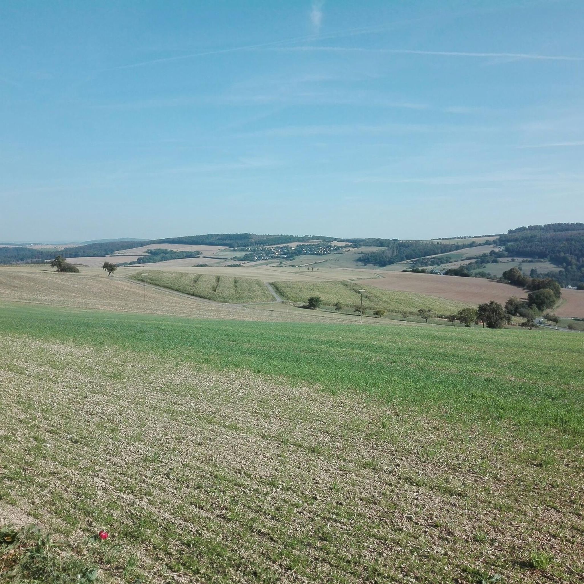
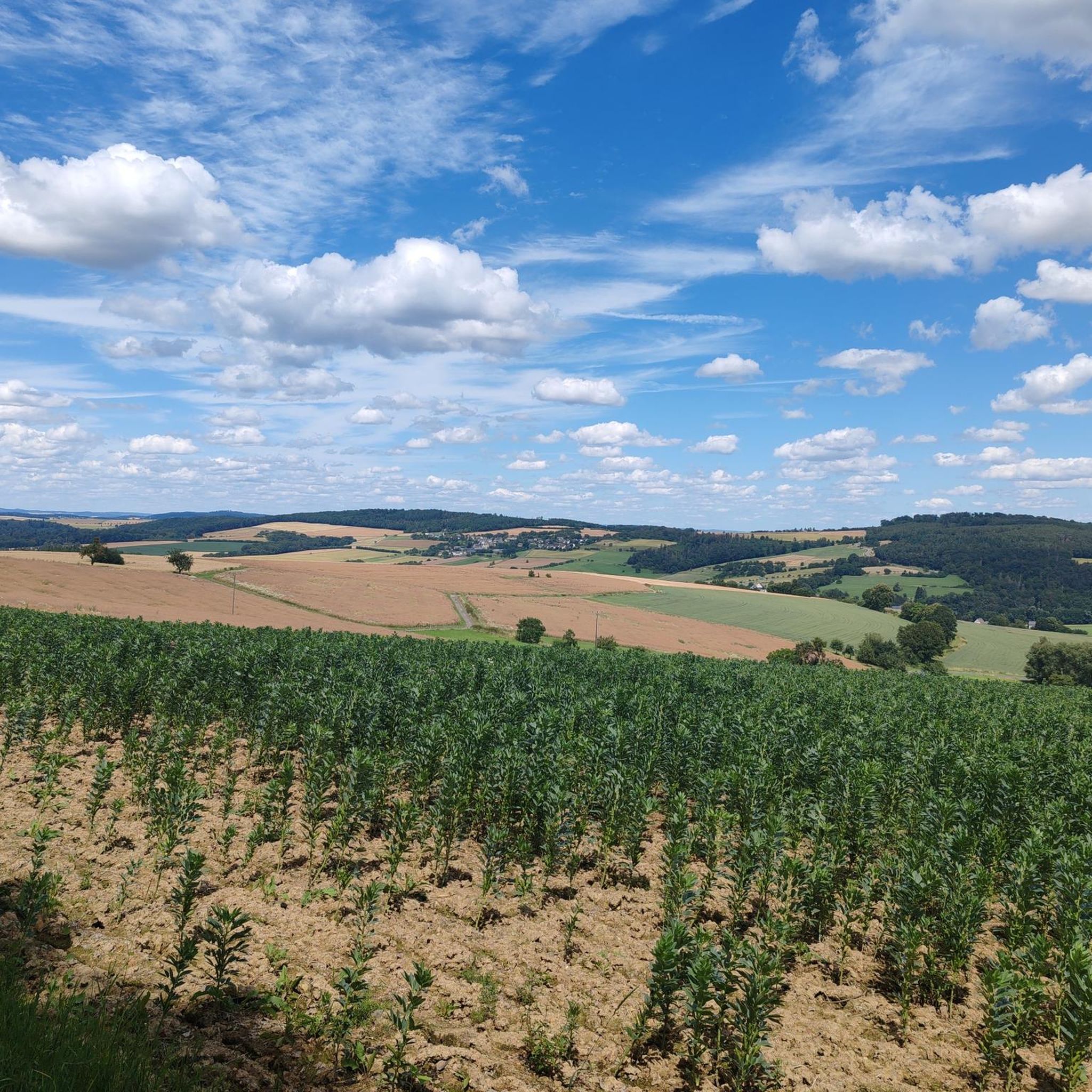
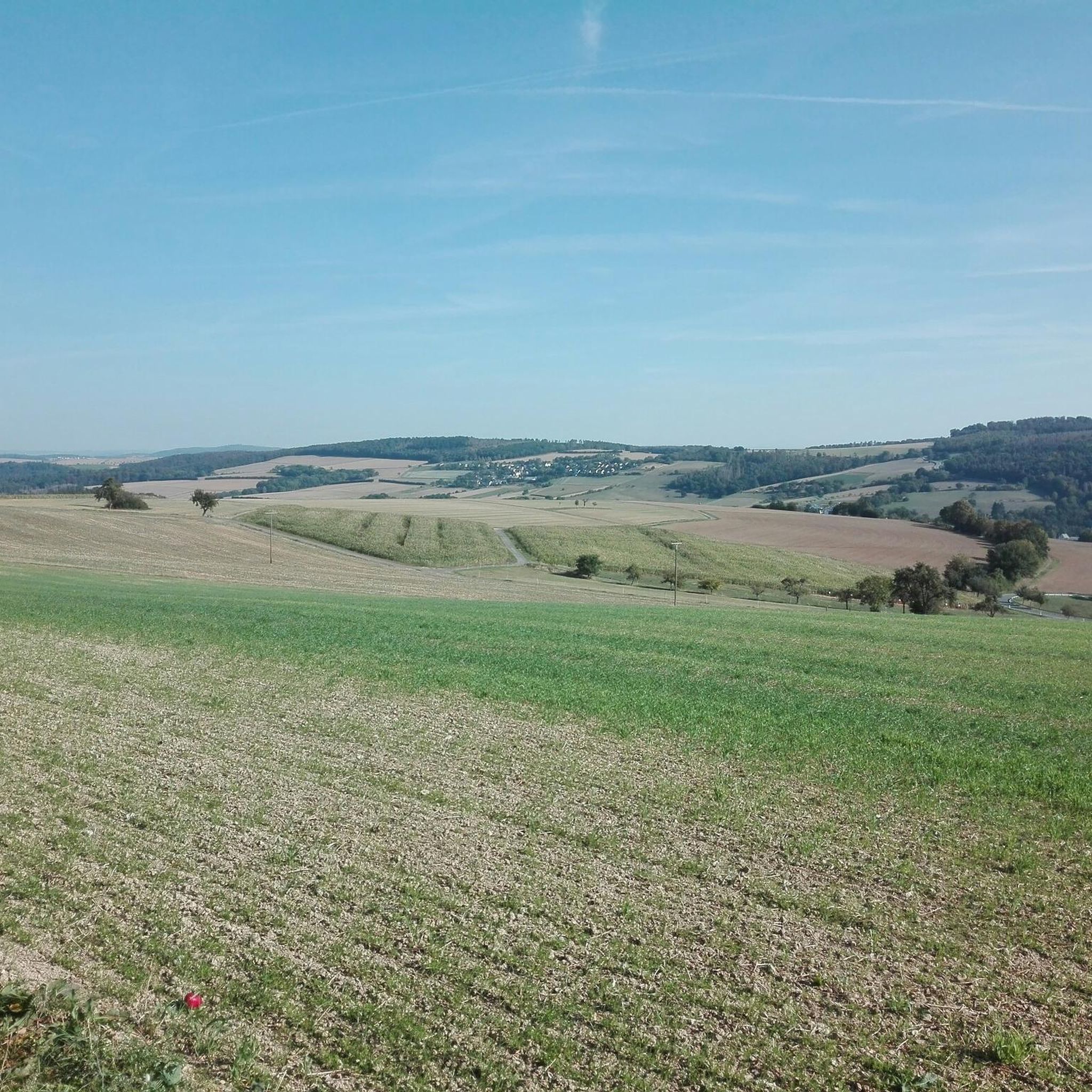
Hiking around Obertiefenbach offers diverse landscapes characterized by rolling hills and green valleys within the Westerwald region. The terrain features a mix of expansive fields and dense forests, providing varied scenery for outdoor activities. Many routes traverse south-facing hills, contributing to the area's distinct geographical profile. This setting supports a range of hiking experiences for different preferences.
Best hiking trails around Obertiefenbach
- The most popular hiking route is Wild Women’s Cave rock formation – Country Inn Plätzer Mühle loop from…
Last updated: July 1, 2026
4.4
(9)
19
hikers
Moderate hike. Good fitness required. Easily-accessible paths. Suitable for all skill levels.
4.7
(3)
18
hikers
Easy hike. Great for any fitness level. Easily-accessible paths. Suitable for all skill levels.

Sign up for free
5.0
(2)
17
hikers
6.78km
01:51
100m
100m
Easy hike. Great for any fitness level. Easily-accessible paths. Suitable for all skill levels.
10
hikers
9.82km
02:41
150m
150m
Moderate hike. Good fitness required. Easily-accessible paths. Suitable for all skill levels.
5.0
(1)
8
hikers
10.4km
02:53
190m
190m
Moderate hike. Good fitness required. Easily-accessible paths. Suitable for all skill levels.
Get access to more routes and recommendations from other explorers.
Sign up for free
Already have an account?
Our route recommendations are based on thousands of hikes, rides, and runs completed by other people on komoot.
Start today with a free account
Your next adventure awaits.
Login or Signup
Tips from the Community

In Holzhausen an der Haide stands the birthplace of Nicolaus August Otto, the inventor of the Otto engine (four-stroke engine). The upper floor of the house contains the Holzhausen town hall, while the lower floor houses a small museum dedicated to Nicolaus August Otto. It's not very large, but definitely worth a visit.
3
0

UNESCO World Heritage Site
0
0

A journey back in time to when technology, mechanics and industry began their great revolution... very nice exhibits and guided tours by experts.
1
0

Copied from the museum operator's homepage: http://www.nicolaus-august-otto.de/ Nicolaus August Otto Museum Opening times: except Wednesday from 10 a.m. to 12 p.m. and 2 p.m. to 5 p.m. Mon. and Tues. please call in advance Museum tour and registration: 01604512898 or gklump@t-online.de
1
0

Not easy to find in summer (sign fallen and heavily overgrown), easier to find in spring
1
0

An eventful and educational insight into the world of Nikolaus A. Otto's inventions. Compiled and presented knowledgeably and lovingly on a voluntary basis by an association. We enjoyed a very nice and friendly tour. It is very useful to register in advance by telephone.
1
0

small shelter with seating
0
0

Beautifully situated, but unfortunately no longer managed.
1
0
Frequently Asked Questions
How many hiking trails are available around Obertiefenbach?
There are over 17 hiking routes around Obertiefenbach listed on komoot, offering a variety of experiences from easy strolls to more moderate ascents through rolling hills and green valleys.
What kind of terrain can I expect on hikes in Obertiefenbach?
The terrain around Obertiefenbach is diverse, featuring a mix of expansive fields, dense forests, and rolling hills. Many routes traverse south-facing slopes, providing varied scenery. You'll find paths suitable for different ability levels, from gentle walks to routes with moderate elevation changes.
Are there any circular hiking routes in Obertiefenbach?
Yes, Obertiefenbach offers several circular routes. For example, the Wild Women’s Cave rock formation – Country Inn Plätzer Mühle loop from Obertiefenbach is a popular moderate circular trail. The region also features circular paths around a nearby reservoir and the broader 'Drei-Kastelle Circular Trail' which passes through the area.
Are there any family-friendly hiking options in Obertiefenbach?
Yes, Obertiefenbach provides special family-friendly paths designed for children to explore nature playfully. Many of the easy routes, such as the Hollermühle – Platzer Mill Country Inn loop from Obertiefenbach, are suitable for families looking for a pleasant walk through fields and forests.
What are some notable natural attractions or landmarks to see while hiking?
Hikers can discover several natural and historical highlights. The impressive Wildweiber Cave rock formation is a significant feature on some trails. The Teufelsdell Waterfall offers an idyllic spot, and from Beselicher Kopf, you can enjoy beautiful views of the Kerkerbachtal and beyond. Additionally, the Jammertal at the Dörsbach is a notable gorge in the vicinity.
When is the best time of year to go hiking in Obertiefenbach?
The best seasons for hiking in Obertiefenbach are spring and autumn. During these times, the weather is mild, and the natural scenery is particularly vibrant, with lush greenery in spring and colorful foliage in autumn.
Are there any historical sights along the hiking trails?
Yes, the area around Obertiefenbach is rich in history. You can find old castle ruins on neighboring hills that offer fantastic views. In Obertiefenbach itself, the St. Ägidius Church with its Romanesque tower is a prominent landmark. The Beselich Maria Hilf Chapel on Beselicher Kopf is also a popular pilgrimage site, with smaller chapels leading up to it.
What do other hikers enjoy most about the trails in Obertiefenbach?
The hiking routes in Obertiefenbach are highly rated by the komoot community, with an average score of 4.6 stars from over 380 reviews. Hikers often praise the diverse landscapes, the mix of open fields and dense forests, and the well-maintained paths that offer varied scenery and views of the Nassau Countryside.
Are there any longer-distance hiking opportunities near Obertiefenbach?
Yes, Obertiefenbach is situated within the broader Westerwald region, which is home to the 235-kilometer WesterwaldSteig. This long-distance trail is recognized as one of the 'Top Trails of Germany' and offers 16 stages for those seeking more extensive hiking adventures.
Are there any easy hiking routes for beginners or casual walkers?
Absolutely. Obertiefenbach offers 11 easy hiking routes. A great option for a pleasant walk is the View of Obertiefenbach – View of the Nassau Countryside loop from Obertiefenbach, which is 4.2 miles (6.8 km) long and offers scenic views without significant difficulty.
Can I find routes that offer good viewpoints?
Yes, several routes provide excellent viewpoints. The View of Obertiefenbach – View of the Nassau Countryside loop from Obertiefenbach specifically highlights scenic vistas. Additionally, the Beselicher Kopf is a popular destination for panoramic views of the Kerkerbachtal and surrounding areas.
Most popular routes around Obertiefenbach
Most popular attractions around Obertiefenbach

Get inspired with the komoot mobile app


Explore more
Browse the best Hikes in other regions.
