The best road cycling routes around Obertaufkirchen
4.6
(379)
4,623
riders
16
rides
Road cycling around Obertaufkirchen, located in Bavaria, Germany, offers a mix of landscapes suitable for various cycling preferences. The region is characterized by meadows and fields, providing a serene backdrop for rides. While largely flat, some routes feature moderate elevation gains, particularly when venturing towards the broader Bavarian countryside. This area provides diverse terrain for road cyclists, from leisurely routes to more challenging ascents.
Best road cycling routes around Obertaufkirchen
- The most popular road cycling route is Soyen to Lengmoos…
Last updated: July 5, 2026
7
riders
32.2km
01:21
190m
190m
Easy road ride. Great for any fitness level. Mostly well-paved surfaces and easy to ride.
5.0
(24)
6
riders
42.7km
01:53
400m
400m
Moderate road ride. Good fitness required. Mostly well-paved surfaces and easy to ride.

Sign up for free
4.0
(1)
9
riders
29.0km
01:17
280m
280m
Easy road ride. Great for any fitness level. Mostly well-paved surfaces and easy to ride.
5.0
(1)
8
riders
Easy road ride. Great for any fitness level. Mostly well-paved surfaces and easy to ride.
4
riders
Easy road ride. Great for any fitness level. Mostly well-paved surfaces and easy to ride.
Get access to more routes and recommendations from other explorers.
Sign up for free
Already have an account?
Our route recommendations are based on thousands of hikes, rides, and runs completed by other people on komoot.
Start today with a free account
Your next adventure awaits.
Login or Signup

Tips from the Community

The village center of Ranoldsberg is a picturesque, idyllic meeting place, particularly characterized by the pilgrimage church of Mariä Himmelfahrt. The late Gothic hall church (built in 1507) forms the historical center with the historic rectory from 1701.
0
0

The most outstanding building in the market town of Buchbach and also an important landmark in the surrounding area is the Church of St. James the Elder. In its late Baroque form, still visible today, the church was built from 1764-1766 after the great town fire of 1762 according to the plans of the Salzburg court building director Wolfgang Hagenauer. The polygonal floor plan of the central building is interesting in itself. The rich furnishings are even more impressive. The masonry dome is completely painted with the ceiling fresco of the "Great Heavenly Host with the Trinity and Mary". It is the most extensive work by the painter Balthasar Mang, who ran his workshop in Buchbach from 1754 onwards.
2
0

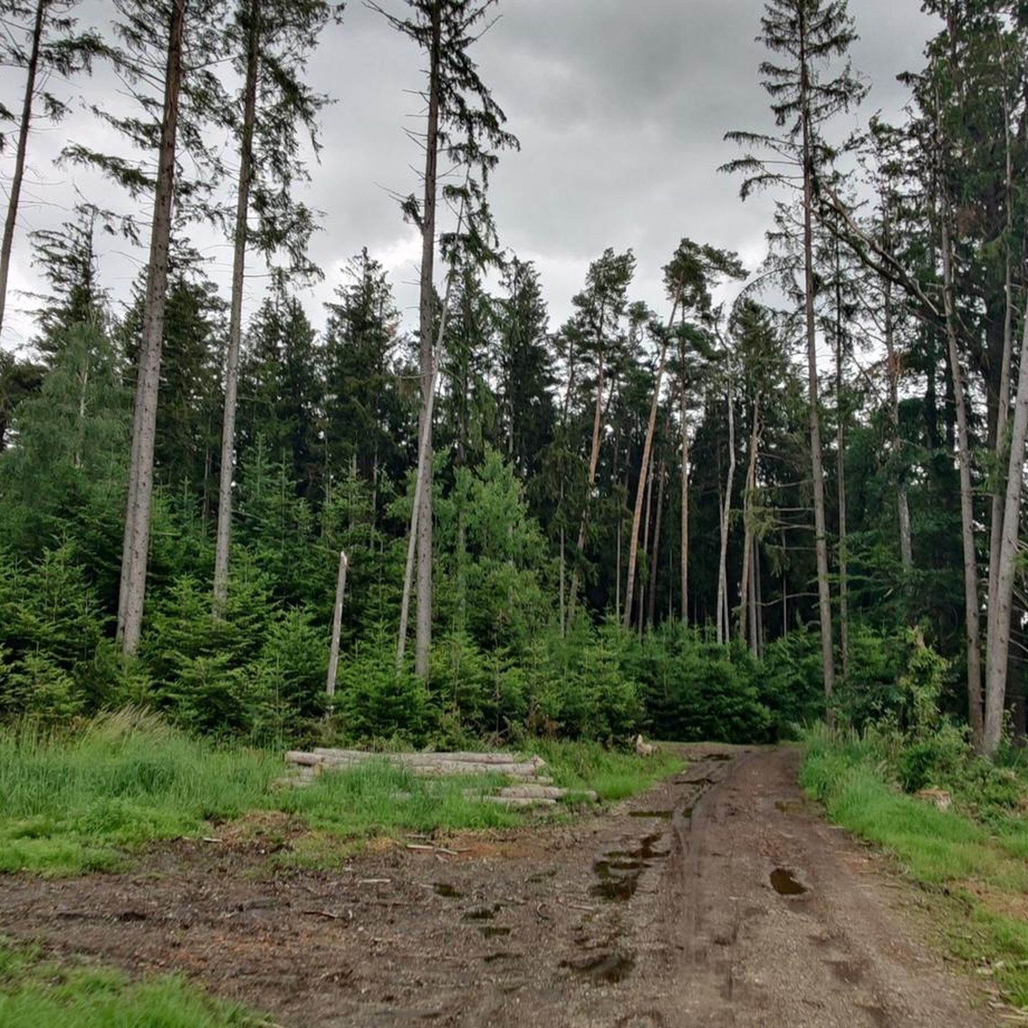
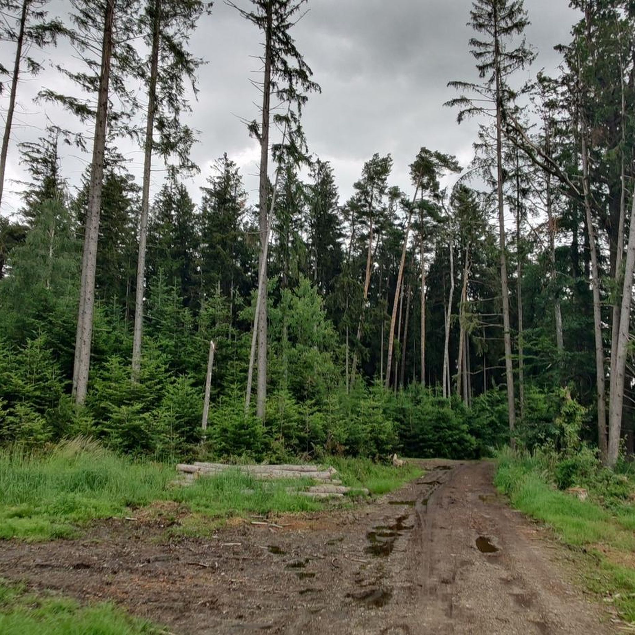
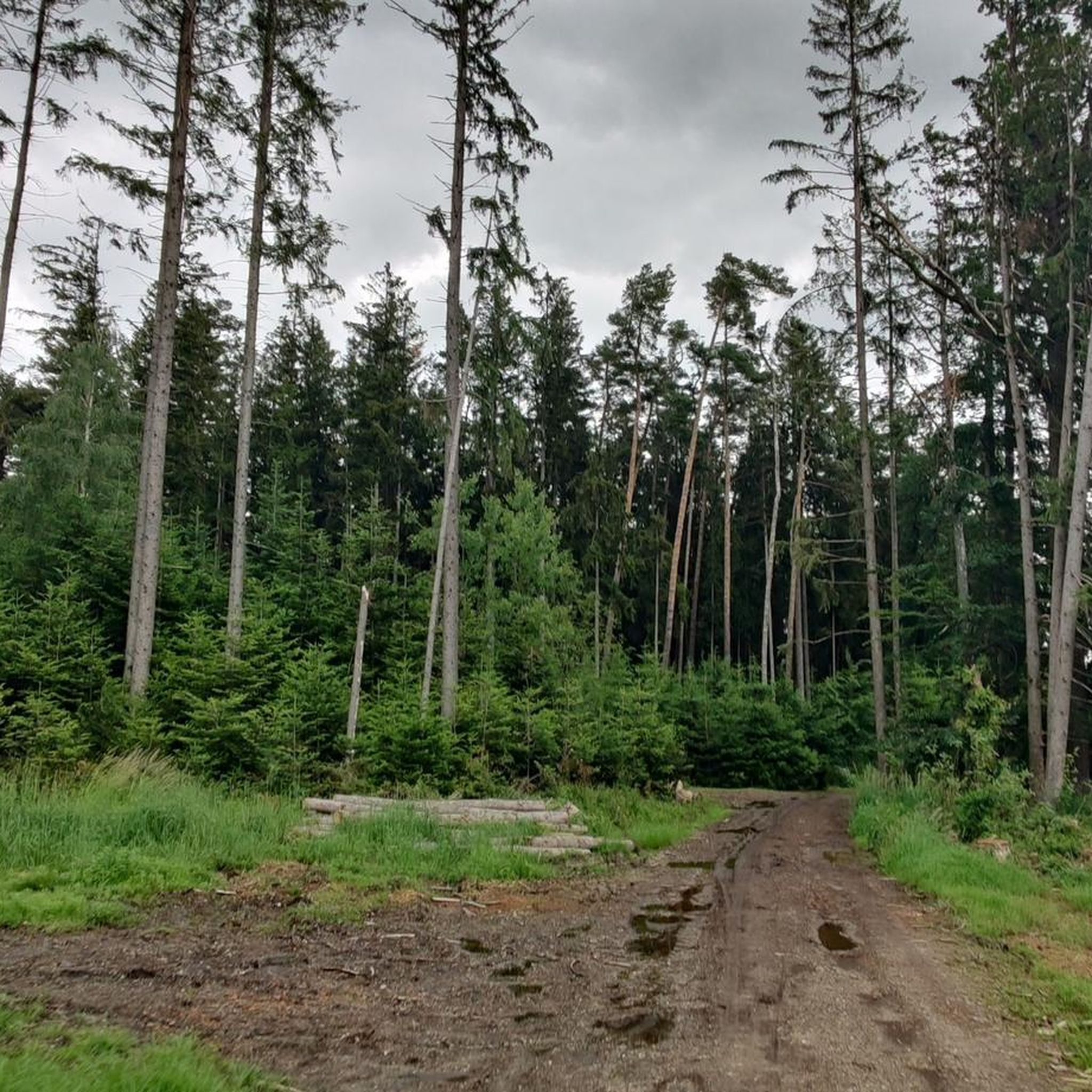
That's a good 10% gradient, with a gain of around 80 meters. However, the road is relatively quiet, so you can climb up in peace.
0
0

Nice location and if the carriage is open you're sure to get something to eat and drink.
0
0

Col de Landshut!
0
0

A beautiful castle, picturesquely situated in a park-like setting and surrounded by moats, which gives it the name "water castle". It is a Renaissance building, built in the 16th century. The architecture of the castle as well as the surrounding landscape make it a popular destination for visitors interested in history and architecture.
0
0

Actually a nice cycle path, but not for a racing bike. This section is mostly tarred (5m not), unfortunately not before or after. There is also an inconspicuous curve that is quite narrow.
0
0

It's always nice to be greeted :-)
0
0
Frequently Asked Questions
What kind of terrain can I expect when road cycling around Obertaufkirchen?
The region around Obertaufkirchen offers a diverse landscape for road cyclists. You'll find many routes winding through peaceful meadows and open fields, providing a serene backdrop for your rides. While generally flat, some routes feature moderate elevation gains, especially as you venture towards the broader Bavarian countryside and the foothills of the Alps, offering more challenging ascents and panoramic views.
How many road cycling routes are available in Obertaufkirchen?
There are over 15 road cycling routes documented around Obertaufkirchen, catering to various preferences. These include a good mix of easy and moderate trails, ensuring options for different fitness levels.
Are there routes suitable for beginners or those looking for an easy ride?
Yes, Obertaufkirchen offers several easy road cycling routes. For instance, the Roadbike loop from Obertaufkirchen is an easy 15.7-mile (25.3 km) trail that takes about 1 hour 9 minutes to complete. Another easy option is the Schwindegg Moated Castle loop from Obertaufkirchen, covering 18.7 miles (30.1 km) with minimal elevation.
What are some of the more challenging road cycling routes in the area?
For those seeking a moderate challenge, routes like the Soyen to Lengmoos Scenic Road – Soyener See loop from Oberornau offer varied terrain over 29.1 miles (46.8 km) with notable elevation gains. Another popular moderate route is the Ranoldsberg Village Center – Schwindegg Moated Castle loop from Oberornau, which spans 27.3 miles (44.0 km) through scenic meadows and fields.
What is the best time of year for road cycling in Obertaufkirchen?
Spring and summer are generally the best seasons for road cycling in Obertaufkirchen. During these months, the weather is pleasant, allowing nature to blossom and the landscape to be enjoyed in its full glory. The peaceful countryside and open fields are particularly inviting during this time.
Are there any circular road cycling routes around Obertaufkirchen?
Yes, many of the road cycling routes in Obertaufkirchen are designed as loops, allowing you to start and end in the same location. Examples include the Roadbike loop from Obertaufkirchen and the Schwindegg Moated Castle loop from Obertaufkirchen, providing convenient options for your ride.
What landmarks or natural features can I see along the road cycling routes?
As you cycle, you might encounter various points of interest. Notable landmarks include the historic Schwindegg Moated Castle. For natural beauty, you can explore areas like the Watershed Inn–Danube at Hauser Höhe or the unique Kettle hole, which are part of the region's natural monuments.
What do other road cyclists say about the routes in Obertaufkirchen?
The road cycling routes in Obertaufkirchen are highly rated by the komoot community, with an average score of 4.6 stars from over 150 reviews. Cyclists often praise the peaceful meadows, open fields, and the diverse terrain that caters to various ability levels, making it an enjoyable experience for many.
Are there family-friendly road cycling options in Obertaufkirchen?
While specific 'family-friendly' designations for road cycling can vary, the region's generally flat routes through meadows and fields, especially the easier loops, can be suitable for families with older children or those comfortable with road cycling. Always check the route's distance and elevation profile to ensure it matches your family's capabilities.
Is there parking available for cyclists in Obertaufkirchen?
Obertaufkirchen is a rural area, and parking is generally available in village centers or at designated public parking spots. It's advisable to check specific starting points of routes for the most convenient parking options.
Can I find places to eat or stay near the cycling routes?
Yes, the broader Bavarian countryside offers various opportunities for refreshments and accommodation. While specific cafes or pubs directly on every route might be limited, you'll find traditional Bavarian hospitality in the villages. For accommodation, Leisure Camping Lain am See is located approximately 7.4 km from Obertaufkirchen, and other guesthouses or hotels can be found in the surrounding towns.
Are there any routes that pass by interesting castles or historical sites?
Absolutely. The Schwindegg Moated Castle loop from Obertaufkirchen and the Ranoldsberg Village Center – Schwindegg Moated Castle loop from Oberornau both feature the impressive Schwindegg Moated Castle, offering a glimpse into the region's history during your ride.
Most popular routes around Obertaufkirchen
Most popular attractions around Obertaufkirchen

Get inspired with the komoot mobile app


Explore more
Browse the best Road cycling routes in other regions.
