The best walks and hikes around Obersteinebach
4.5
(8138)
26,592
hikers
1,148
hikes
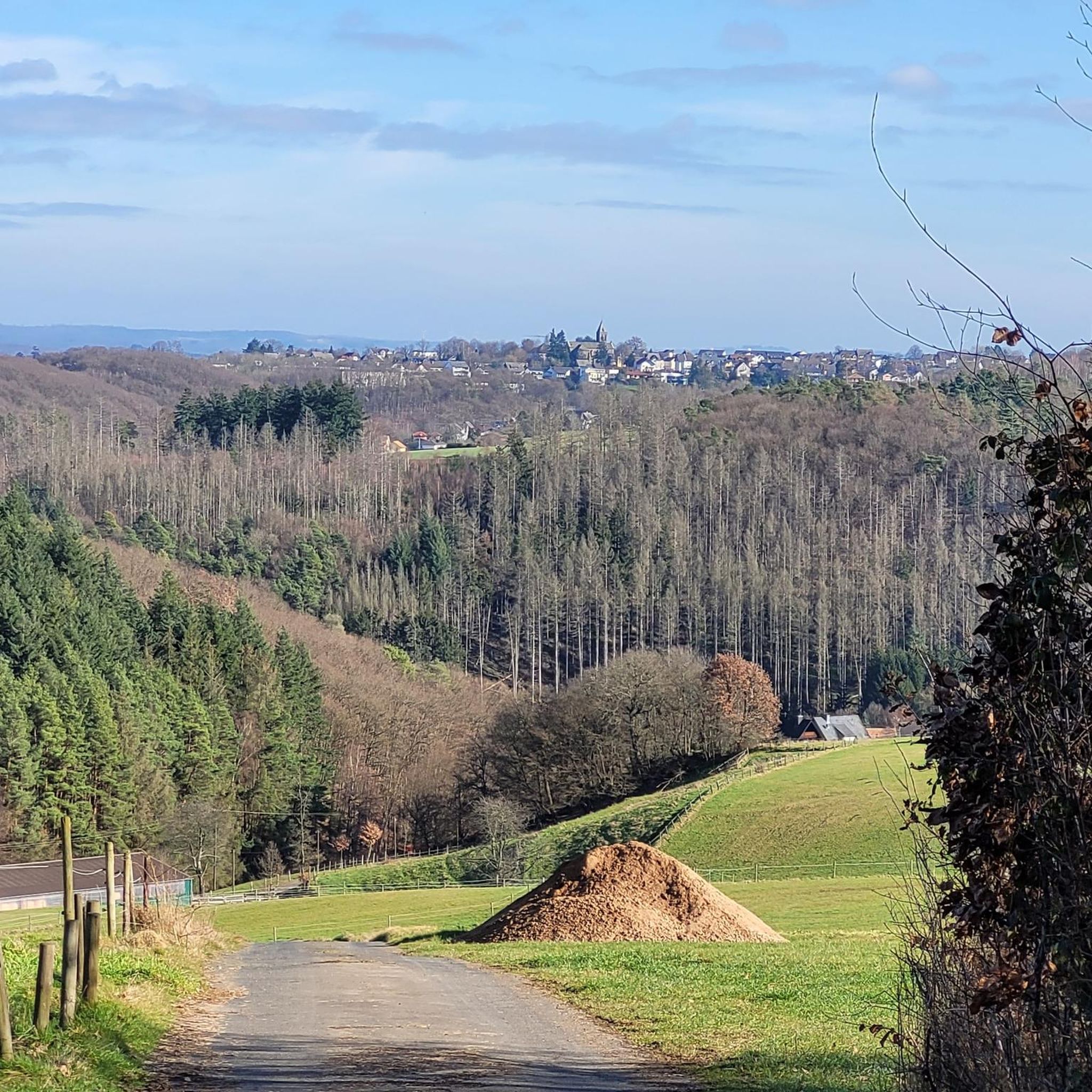
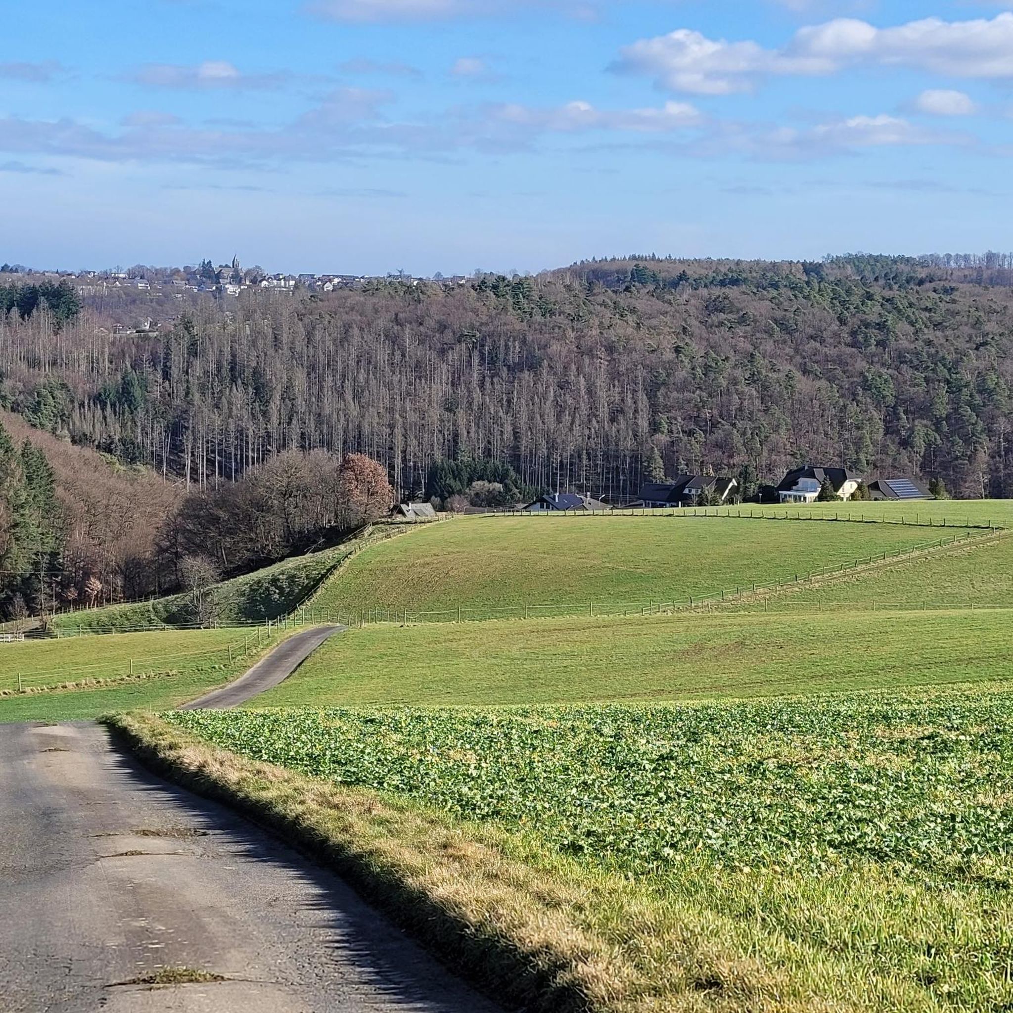
Hiking around Obersteinebach offers diverse outdoor experiences within the Westerwald-Sieg region of Rhineland-Palatinate, Germany. The area is characterized by rolling hills, extensive wooded areas, and dramatic sandstone formations. Hikers can explore trails alongside wild streams and through secluded valleys, with varied terrain ranging from easy paths to more challenging ascents.
Best hiking trails around Obersteinebach
- The most popular hiking route is Krunkel Deep Drilling – Krunkel Panorama View loop from Krunkel, a 4.5 miles (7.2 km) trail that takes…
Last updated: August 15, 2026
4.5
(14)
33
hikers
7.23km
02:01
140m
140m
Moderate hike. Good fitness required. Easily-accessible paths. Suitable for all skill levels.
4.7
(7)
29
hikers
4.89km
01:25
120m
120m
Easy hike. Great for any fitness level. Easily-accessible paths. Suitable for all skill levels.

Sign up for free
4.8
(12)
28
hikers
7.07km
01:57
120m
120m
Easy hike. Great for any fitness level. Easily-accessible paths. Suitable for all skill levels.
4.4
(8)
20
hikers
8.27km
02:17
140m
140m
Moderate hike. Good fitness required. Easily-accessible paths. Suitable for all skill levels.
4.8
(6)
28
hikers
4.35km
01:13
90m
80m
Easy hike. Great for any fitness level. Easily-accessible paths. Suitable for all skill levels.
Get access to more routes and recommendations from other explorers.
Sign up for free
Already have an account?
Our route recommendations are based on thousands of hikes, rides, and runs completed by other people on komoot.
Start today with a free account
Your next adventure awaits.
Login or Signup
Tips from the Community

Michael Manousakis' home in Peterslahr
0
0
The extent of the place is gigantic!
0
0

No, what suggestion, I've been seeing you for a while, Maicol you are the best keep it up: if you come to Rome write that you are coming to my house. I would be pleased: I saw your crossing in America with your drone you are too strong 😋.
0
0

"Peterslahr is located in a landscape ideal for hiking. It is an attractive local recreation area and destination. Conveniently located within commuting distance of the cities of Cologne-Bonn, Neuwied, Altenkirchen, and Limburg, you'll find many interesting options for settling here. Information about the community, church, and contact persons can be found under the Community and Culture sections..." FURTHER INFORMATION: https://www.peterslahr.de/
0
0
"Burglahr, located in the Rhine-Westerwald Nature Park, is a romantic village with approximately 500 residents. Nestled between rolling hills, the Wied River winds its way through the village..." FURTHER INFORMATION: https://www.vg-altenkirchen-flammersfeld.de/gemeinde-politik/uebersicht-ortsgemeinden/burglahr
0
0
"Winter is the time of fairy tales and legends. There are very few legends that relate to the Altenkirchen-Flammersfeld municipality. The most well-known and beautiful legend revolves around an oak tree that grows in the Obersteinebach/Peterslahr/Burglahr state forest. It has become part of the folklore and is widely known as the "Legend of the Educated Oak." At the end of the legend about the enchanted knight maiden, it says: "Now I will remain enchanted until a tree has grown from the soon-to-fall acorn, from whose boards a cradle will be built. "The child cradled therein, having grown into a youth, can redeem me with a kiss," cries the Virgin, who even today, as an ugly toad in the forest in Obersteinebach, awaits her redemption..." CONTINUED and MORE INFORMATION: https://www.horhausen.de/aktuelles/nachrichten-details?tx_news_pi1%5Baction%5D=detail&tx_news_pi1%5Bcontroller%5D=News&tx_news_pi1%5Bnews%5D=773&cHash=48623863b15119d7e788366edf7024d0
0
0
"In 2012 and 2013, the so-called Hufer Bachtal was renaturalized. This meant that the stream was optimized (preventing further deepening by reinforcing the bed and raising the streambed), culverts were repaired or renewed, and large stands of spruce trees were removed. Some root trunks were also removed. As a result, the valley has greatly improved its overall reputation and has also become significantly brighter and more open. Of course, this also incurred considerable costs, some of which also came from subsidies. Finally, the goal is to strive for sensible ecological use of the valley to ensure optimal preservation. It is particularly important that the Westerwaldsteig trail runs through a large part of the Hufer Bachtal in this part of the municipality." ``` https://www.spd-horhausen.de/renaturierung-hufer-bachtal/ https://www.ak-kurier.de/akkurier/www/artikel/64392-vierbeinige-landschaftspfleger-leisten-tolle-arbeit
0
0
Frequently Asked Questions
How many hiking trails are available around Obersteinebach?
There are over 1,100 hiking routes around Obersteinebach, offering a wide variety of experiences for all skill levels. The komoot community has explored more than 26,000 of these routes.
Are there easy hiking trails suitable for beginners or families?
Yes, Obersteinebach offers a significant number of easy trails, with over 600 routes categorized as such. The region also features special children's hiking trails designed for playful exploration. An example of an easy route is the View of Burglahr Castle Ruin – Bildeiche loop from Obersteinebach, which is about 3 miles (4.8 km) long.
What kind of landscapes and natural features can I expect to see while hiking?
The landscape around Obersteinebach is incredibly diverse, featuring rolling hills, dense forests, and dramatic sandstone formations. You'll encounter idyllic lakes, wild streams, and steep gorges. The area is part of the Rhine-Westerwald Nature Park and the Westerwald-Lahn-Taunus Geopark, ensuring well-maintained trails through untouched nature and offering breathtaking panoramic views.
Are there any circular hiking routes in the area?
Yes, many routes around Obersteinebach are circular, allowing you to start and end at the same point. Popular options include the Krunkel Deep Drilling – Krunkel Panorama View loop from Krunkel, a moderate 4.5-mile (7.2 km) trail, and the Picnic Area on the WasserWeg – Krunkel Deep Drilling loop from Krunkel, an easy 4.4-mile (7.1 km) route.
What are some notable landmarks or attractions I can see along the hiking trails?
Hikers can discover a wealth of historical and natural attractions. You might encounter medieval fortresses like the Ehrenstein Castle Ruins and Monastery, or explore the scenic Wied Valley. Other points of interest include the Wied Suspension Bridge and the historic Peterslahr Tunnel.
Can I hike with my dog in Obersteinebach?
The natural environment of Obersteinebach, with its extensive forests and varied terrain, is generally very welcoming for dogs. Many trails are suitable for walking with your canine companion, but it's always advisable to keep dogs on a leash, especially in nature reserves or near wildlife, and to check local regulations for specific routes.
What is the best time of year to go hiking in Obersteinebach?
The best seasons for hiking in Obersteinebach are spring and autumn. During these times, nature displays vibrant colors, and the mild climate is ideal for extended walks through forests and fields. While summer offers lush greenery, spring and autumn provide comfortable temperatures and stunning scenery.
What are the typical distances and durations for hikes in this region?
Hikes around Obersteinebach vary greatly in length and duration. You can find shorter, easy walks like the 3-mile (4.8 km) View of Burglahr Castle Ruin – Bildeiche loop, which takes about 1 hour 24 minutes. Longer, moderate routes, such as the 9.7-mile (15.7 km) Peterslahr Tunnel – Wied River Trail loop, can take over 4 hours.
What makes hiking in Obersteinebach unique compared to other regions?
Obersteinebach stands out due to its unique combination of dramatic sandstone formations, dense forests within the Palatinate Forest-North Vosges Biosphere Reserve, and its location within two nature parks (Rhine-Westerwald and Westerwald-Lahn-Taunus Geopark). This creates a diverse terrain with impressive natural landmarks, historical castle ruins, and a rich mix of flora and fauna.
What do other hikers enjoy most about the trails in Obersteinebach?
The trails in Obersteinebach are highly rated by the komoot community, with an average score of 4.6 stars from over 7,000 reviews. Hikers often praise the varied terrain, the stunning panoramic views, the well-maintained paths, and the opportunity to explore both natural beauty and historical sites like castle ruins.
Are there any long-distance hiking trails that pass through or near Obersteinebach?
Yes, renowned long-distance trails such as the WesterwaldSteig and the Wied-Wanderweg traverse the region. These trails offer wonderfully varied experiences through valleys like the Grenzbachtal and the Wied valley, known for their impressive views and idyllic scenery.
Can I find trails that lead to viewpoints or panoramic vistas?
Absolutely. The region is known for its fabulous panoramic views, particularly from higher elevations and sandstone outcrops. Trails like the Krunkel Deep Drilling – Krunkel Panorama View loop are specifically highlighted for their scenic vistas over the surrounding landscape.
Most popular attractions around Obersteinebach

Get inspired with the komoot mobile app


Explore more
Browse the best Hikes in other regions.
