The best MTB trails around Oberschwarzach
4.4
(621)
1,478
riders
21
rides
Mountain biking around Oberschwarzach offers diverse terrain within the Steigerwald forest, characterized by rolling hills, extensive forests, and picturesque vineyards. The region features a dedicated BikePark Oberschwarzach with over 1,000 meters of trails and 25 jumps, catering to various skill levels. This area provides a network of cycling routes through the scenic Main valley and at the foot of the Hassberge mountains.
Best mountain bike trails around Oberschwarzach
- The most popular mountain bike trail is Rudsten Trekking Site – Holy…
Last updated: October 17, 2026
4.4
(8)
25
riders
54.9km
03:51
550m
550m
Moderate mountain bike ride. Good fitness required. Suitable for all skill levels.
4.5
(8)
18
riders
Moderate mountain bike ride. Good fitness required. Advanced riding skills necessary.

4.5
(2)
7
riders
19.6km
01:35
390m
390m
Moderate mountain bike ride. Good fitness required. Suitable for all skill levels.
4.8
(6)
7
riders
21.1km
01:24
270m
270m
Moderate mountain bike ride. Great for any fitness level. Advanced riding skills necessary.
5
riders
Moderate mountain bike ride. Good fitness required. Advanced riding skills necessary.
Get access to more routes and recommendations from other explorers.
Already have an account?
Our route recommendations are based on thousands of hikes, rides, and runs completed by other people on komoot.
Start today with a free account
Your next adventure awaits.
Popular around Oberschwarzach
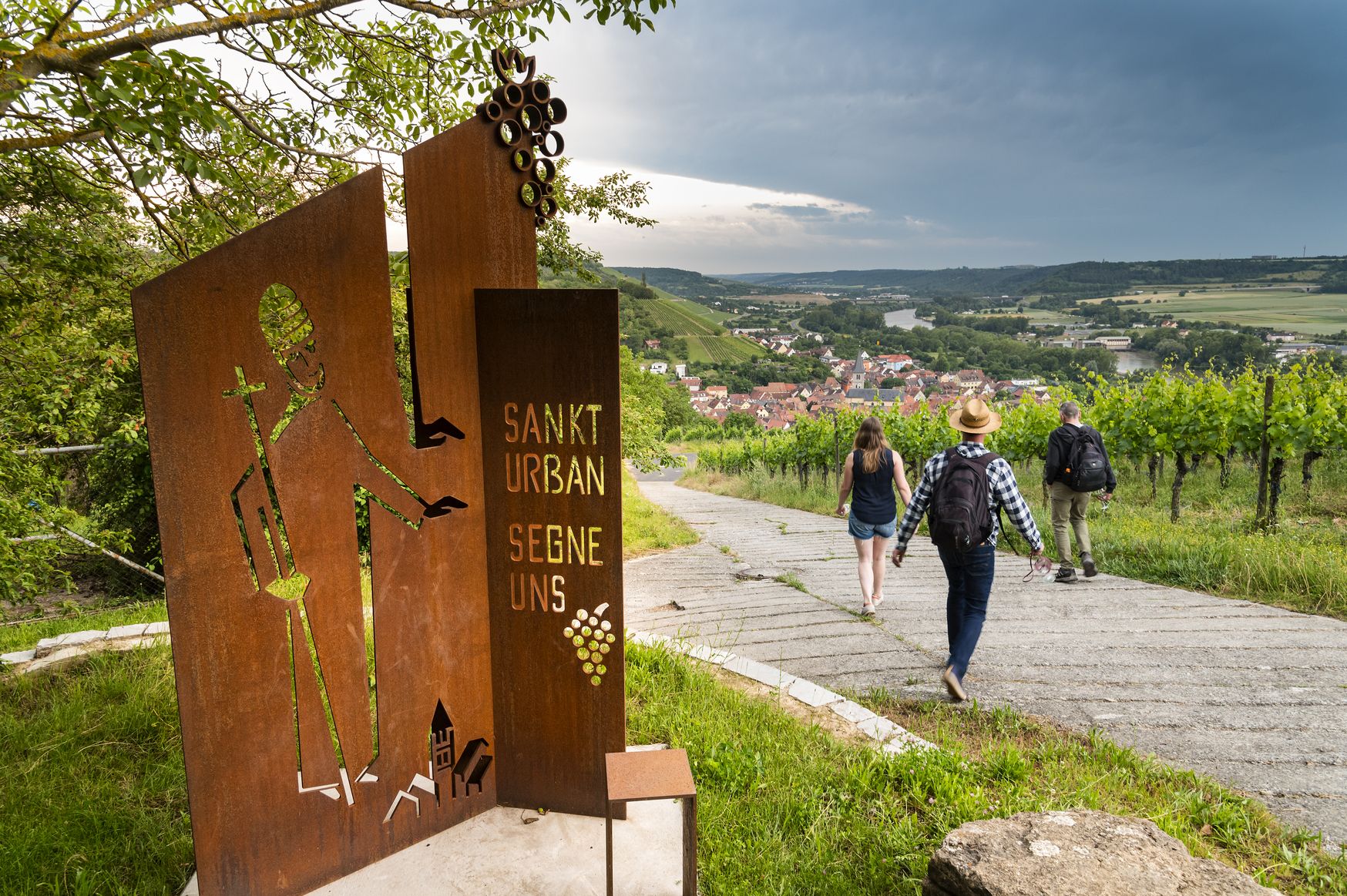
Hiking and culinary delights – walks in the Franconia wine region
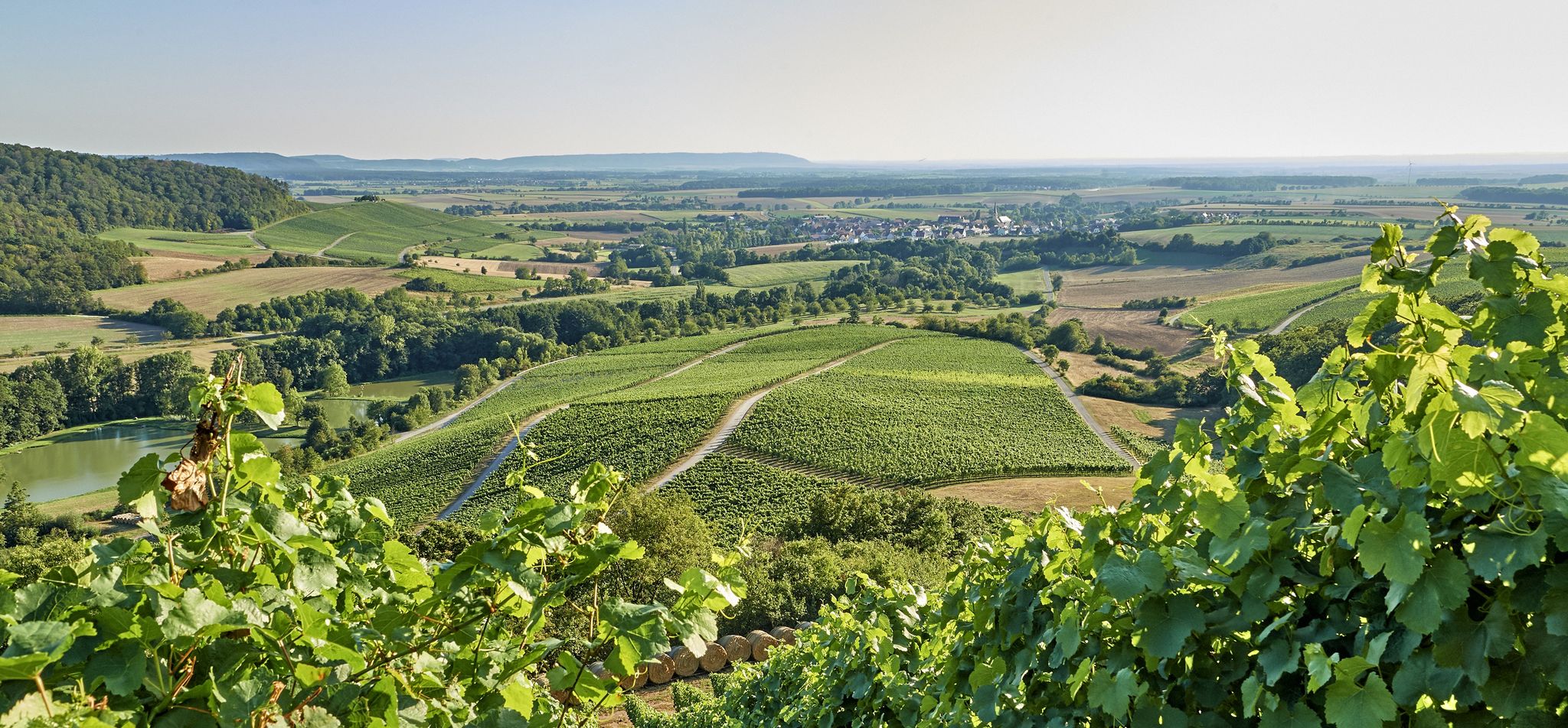
Vineyards, forests and ponds – cycling in the Steigerwald in Germany
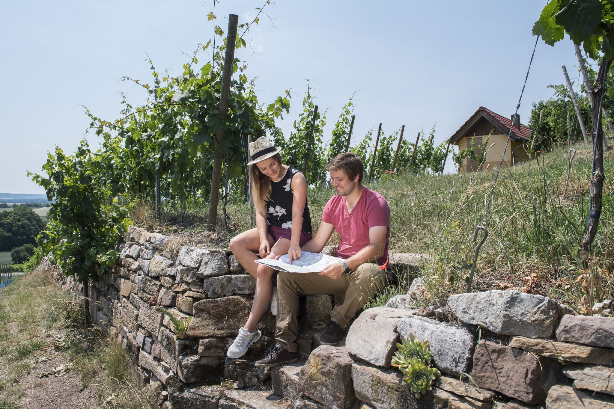
Vineyards, historic towns & forests – hiking through Schweinfurt in Bavaria
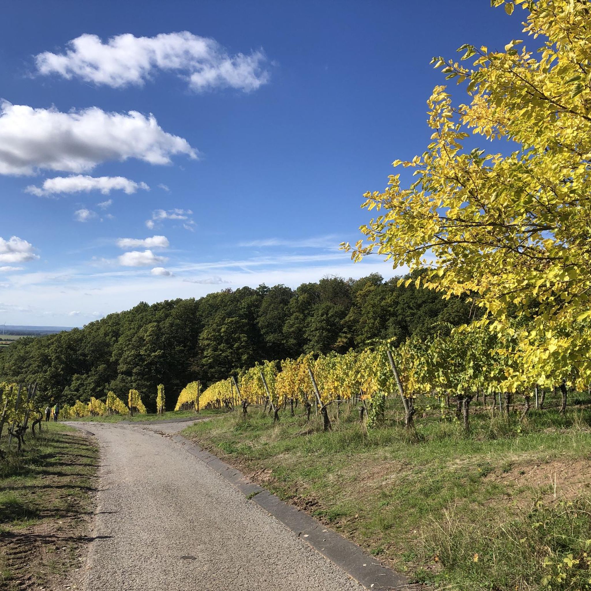
Hiking around Oberschwarzach
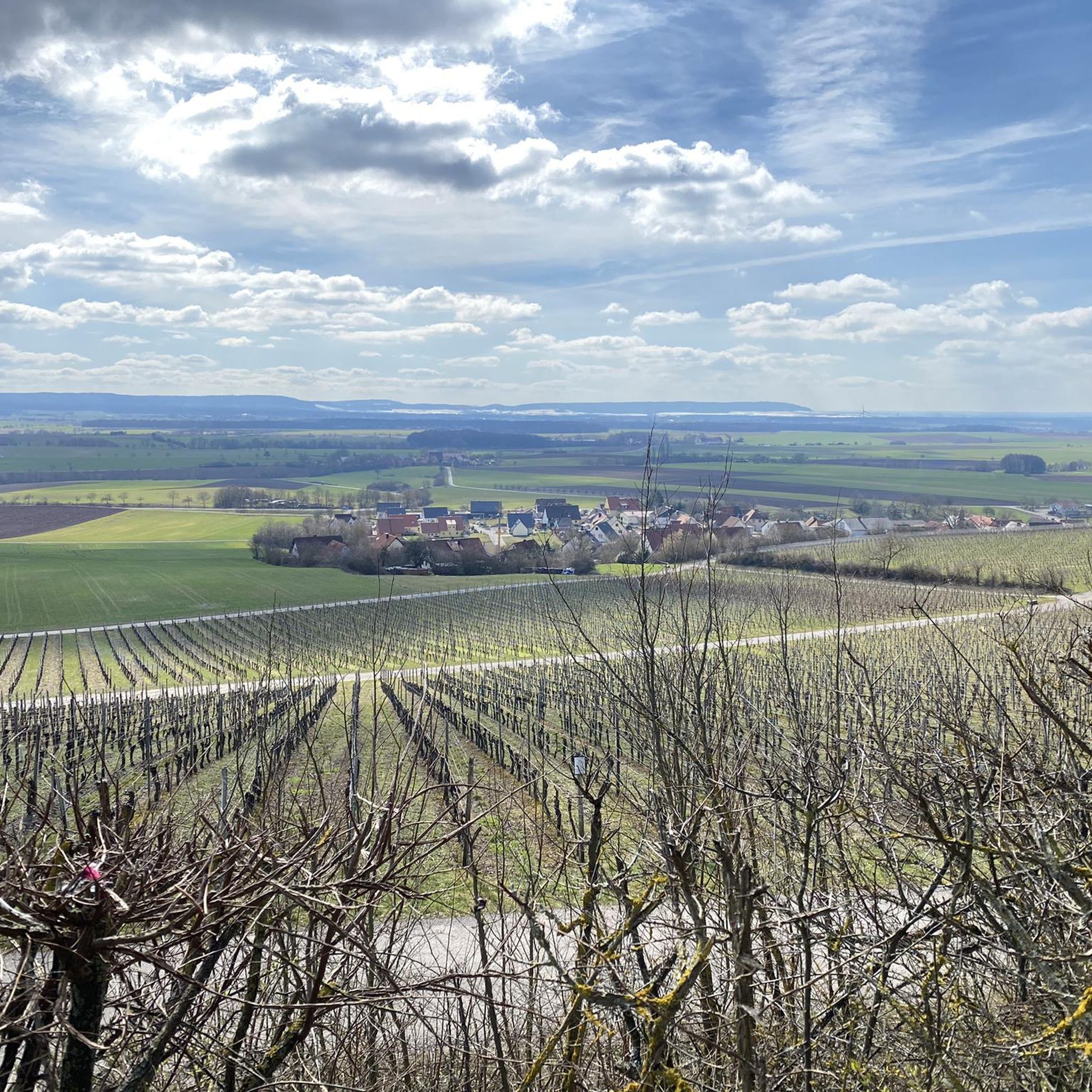
Cycling around Oberschwarzach
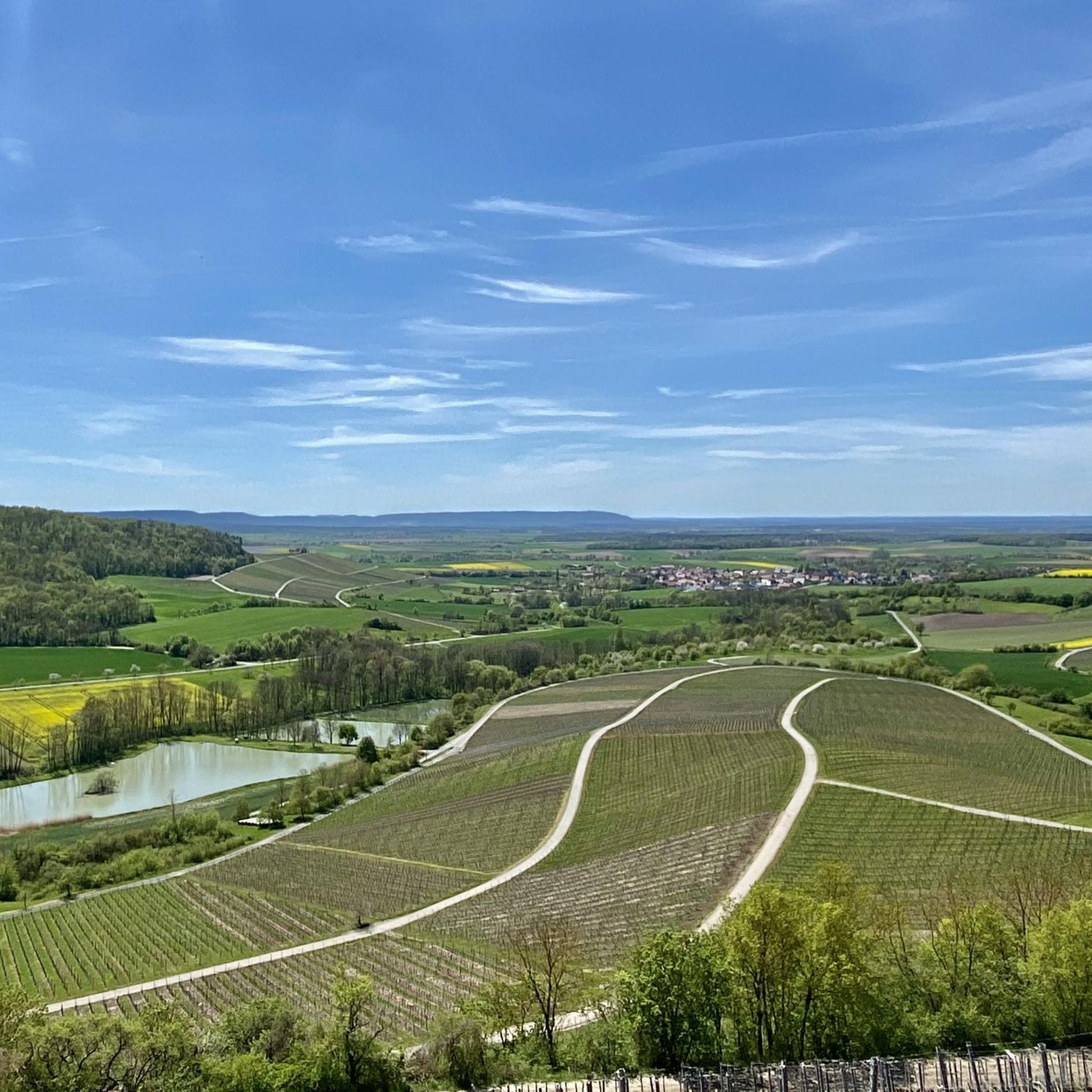
Running Trails around Oberschwarzach
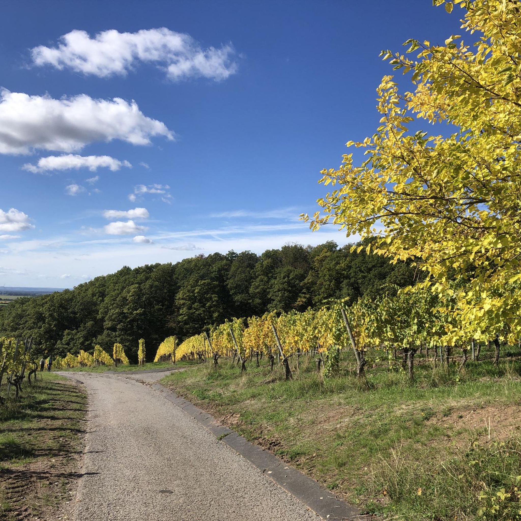
Road Cycling Routes around Oberschwarzach
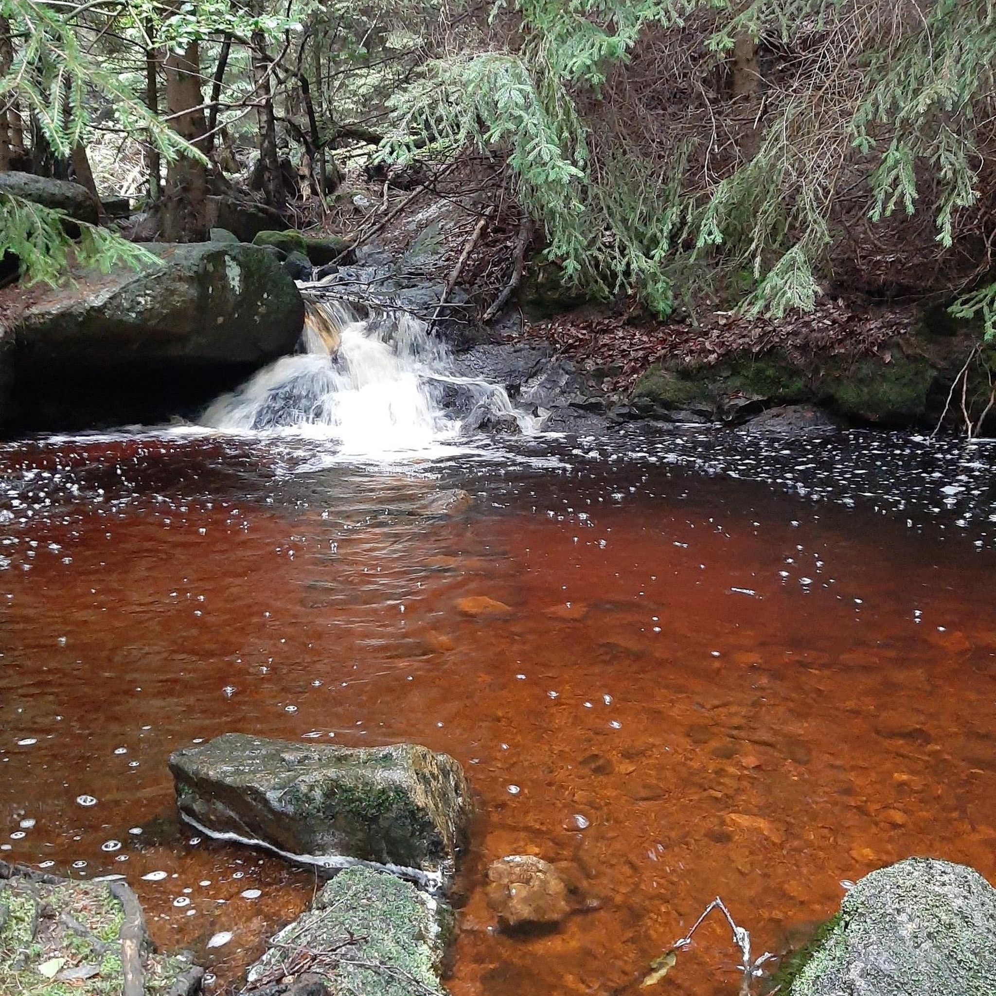
Gravel biking around Oberschwarzach
Other adventures around Oberschwarzach


Tips from the Community

The Brother's Cross (from "Der Steigerwald") A small cross stands in the woods On a blooming heather slope A grey, simple stone. There, in olden days The brother slew the brother In the field by the green edge. The deed is long forgotten The stone, only storm-eroded Defies oblivion. But when the night revels in scents The tale of the bloody dispute From a long-forgotten time Shines forth in the air.
0
0
According to legend, two brothers went into the forest to get wood and brushwood. One had a sword, the other a sickle (depicted on the penance cross). In the evening, they met again and got into an argument about who had been more diligent. The argument escalated, and the brothers attacked each other with their weapons. Mortally wounded, both regretted their actions, asked each other for forgiveness, and died reconciled.
0
0

Great 6 km trail - almost flat and perfectly rideable;
0
0
Several trees lay across and in places already heavily overgrown with thorny bushes - naturally brakes the riding fun;
0
0


Beautiful wayside shrine by the roadside
1
0
Bank with a beautiful view
1
0

The gate at the back is unlocked but very difficult to open. Relevant if you approach from the back via the stone stairs; alternatively, you can climb over the wall.
0
0
Frequently Asked Questions
What is the overall difficulty level of mountain bike trails around Oberschwarzach?
The mountain bike trails around Oberschwarzach offer a range of difficulties. Most of the 19 available routes are classified as moderate, with 16 routes falling into this category. There is also 1 easy route and 2 difficult routes, providing options for various skill levels.
Are there any family-friendly mountain bike trails in Oberschwarzach?
Yes, Oberschwarzach offers some options suitable for families, particularly the easier routes. While most trails are moderate, the region's network includes paths through vineyards and forests that can be enjoyed by those looking for less demanding rides. For a specific easy option, consider exploring the general cycling routes in the Main valley, which are often more leisurely.
Can I bring my dog on the mountain bike trails in Oberschwarzach?
Many trails in the Steigerwald Nature Park, which surrounds Oberschwarzach, are generally dog-friendly, especially those through forested areas. However, it's always recommended to keep dogs on a leash, particularly in nature reserves or near wildlife. Be mindful of other trail users and local regulations.
Where can I find parking for mountain biking in Oberschwarzach?
Parking is generally available in and around Oberschwarzach, especially near trailheads and local attractions. For instance, if you plan to visit the BikePark Oberschwarzach, there are usually designated parking areas. When starting a specific route, check the route details on komoot for recommended starting points and parking information.
Are there any circular mountain bike routes in the Oberschwarzach area?
Yes, many of the mountain bike routes around Oberschwarzach are designed as loops. For example, the Rudsten Trekking Site – Holy Blood Chapel loop from Oberschwarzach is a moderate 55 km circular trail. Another option is the Wayside Shrine at Murleinsnest – Stollburg Ruins loop from Oberschwarzach, which is a moderate 19.7 km loop.
What kind of landmarks or scenic viewpoints can I expect along the trails?
The trails around Oberschwarzach offer a mix of natural beauty and historical sites. You can encounter vineyards, dense forests, and rolling hills. Notable landmarks include the Stollburg Ruins, a 12th-century castle ruin, and the Handthaler Stollberg Vineyards, which are the highest vineyards in the area. Elevated points like the "14-Nothelferkapelle" also offer panoramic views into the Steigerwald foreland.
Is there a dedicated bike park in Oberschwarzach?
Yes, Oberschwarzach is home to the BikePark Oberschwarzach. This park features over 1,000 meters of trails and 25 jumps, catering to various skill levels from beginners to advanced riders. It's a community initiative, free to use, and offers diverse lines with views of vineyards and the Steigerwald Nature Park.
What do other mountain bikers say about the trails in Oberschwarzach?
The mountain bike trails in Oberschwarzach are highly regarded by the komoot community, with an average rating of 4.6 stars from over 500 reviews. Mountain bikers often praise the diverse terrain, the scenic views of vineyards and forests, and the well-maintained network of routes within the Steigerwald Nature Park.
Are there any cafes or places to eat near the mountain bike trails?
Oberschwarzach and its surrounding wine villages offer various options for refreshments. You'll find local eateries and traditional Franconian pubs where you can refuel after your ride. The region is known for its wine, so exploring local taverns (Heckenwirtschaften) in villages like Handthal can be a pleasant experience.
How can I access the mountain bike trails using public transport?
While Oberschwarzach is primarily accessed by car, some public transport options exist to reach the general area. However, direct public transport access to specific trailheads might be limited. It's advisable to check local bus schedules to nearby towns and plan your route accordingly, potentially combining with a short ride to the starting point.
What is the longest mountain bike trail available?
One of the longer routes is the Biker Park Oestrich-Winkel – Rudsten Trekking Site loop from Oberschwarzach, which is a moderate 61.6 km path. This route offers extensive views of vineyards and the surrounding natural park, providing a substantial ride for those looking for distance.
Are there any routes with significant elevation changes for a challenge?
Yes, the region's rolling hills and integration into the Steigerwald Nature Park mean many routes feature notable elevation changes. For example, the moderate View from Glösberg – Moated castle in the Steigerwald loop from Geiersberg involves over 650 meters of ascent, offering a good workout and rewarding views.
Most popular routes around Oberschwarzach
Most popular attractions around Oberschwarzach

Get inspired with the komoot mobile app


Explore more
Browse the best MTB trails in other regions.
