The best walks and hikes around Oberschlierbach
4.5
(2962)
21,080
hikers
521
hikes
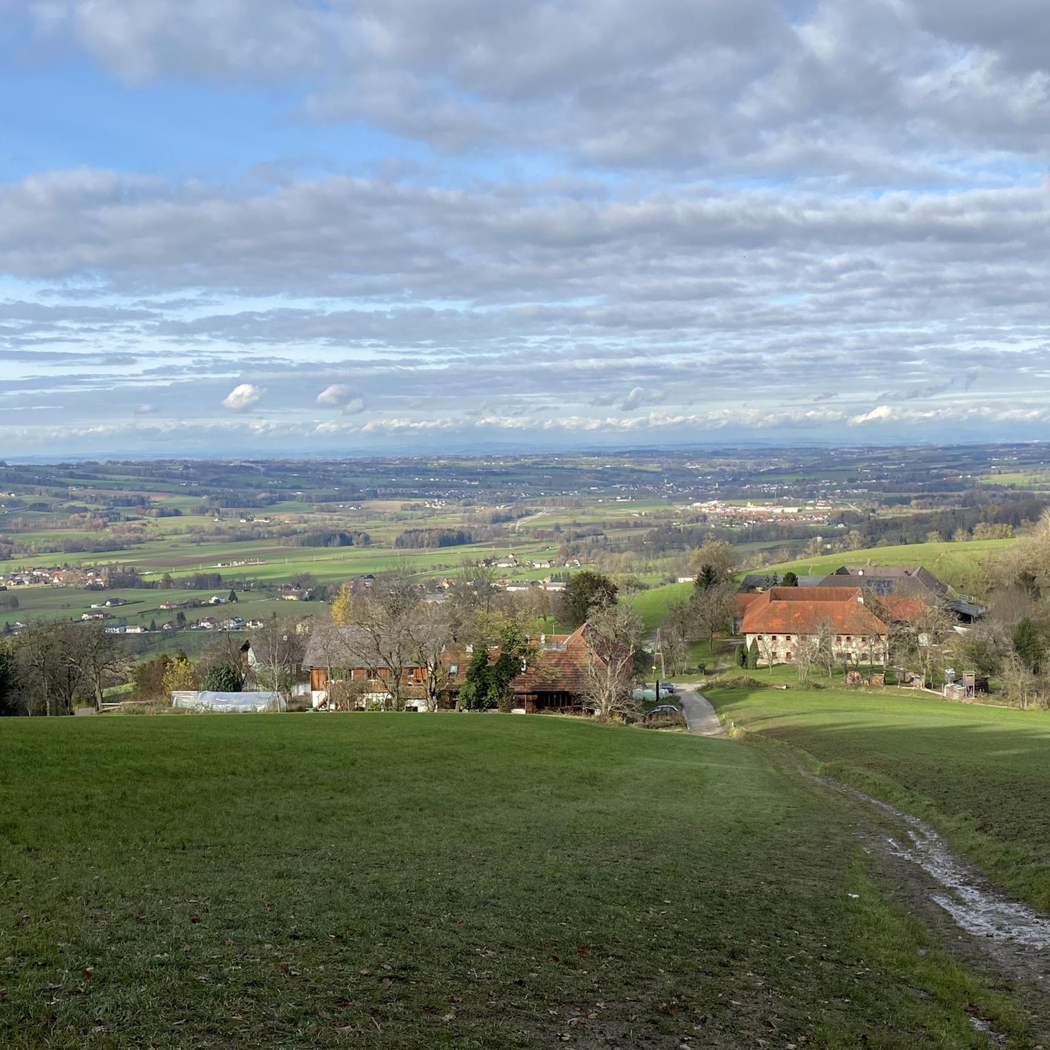
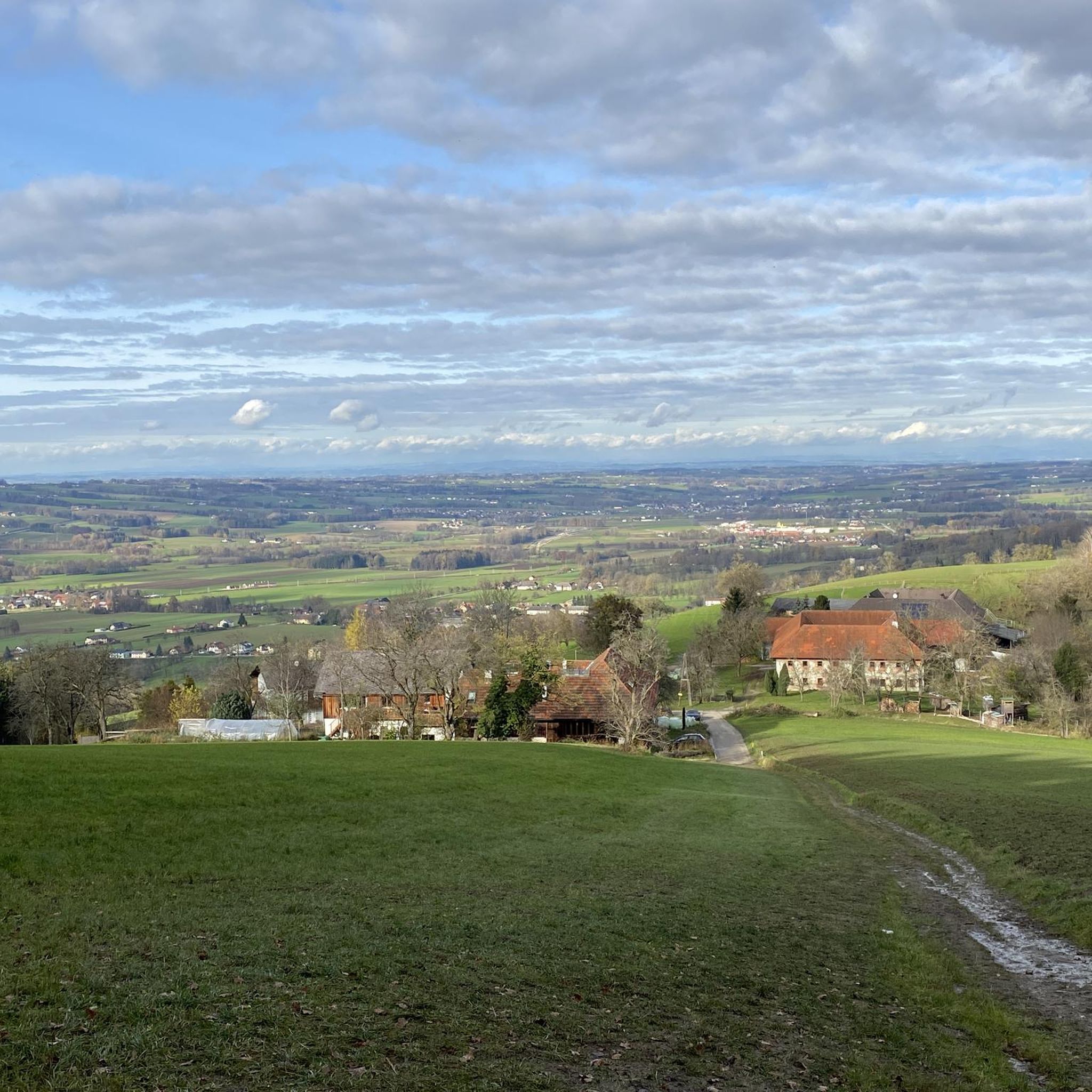
Hiking around Oberschlierbach offers diverse trails within the rolling hills of the Upper Austrian Alpine foothills. The region is characterized by picturesque valleys like the Upper Kremstal, natural features such as waterfalls and gorges, and accessible hills. Hikers can explore a variety of landscapes, from riverbanks to elevated viewpoints. This area provides a range of routes suitable for different experience levels.
Best hiking trails around Oberschlierbach
- The most popular hiking route is Rinnerberger Waterfall – Rinnerberger Waterfall loop from Rinnerberg…
Last updated: July 1, 2026
4.7
(69)
257
hikers
Moderate hike. Good fitness required. Easily-accessible paths. Suitable for all skill levels.
4.6
(49)
183
hikers
4.64km
01:29
190m
190m
Easy hike. Great for any fitness level. Easily-accessible paths. Suitable for all skill levels.

Sign up for free
4.6
(32)
163
hikers
Moderate hike. Good fitness required. Easily-accessible paths. Suitable for all skill levels.
4.7
(19)
114
hikers
3.84km
01:06
90m
90m
Easy hike. Great for any fitness level. Easily-accessible paths. Suitable for all skill levels.
4.5
(13)
51
hikers
5.04km
01:45
210m
210m
Moderate hike. Great for any fitness level. Mostly accessible paths. Sure-footedness required.
Get access to more routes and recommendations from other explorers.
Sign up for free
Already have an account?
Our route recommendations are based on thousands of hikes, rides, and runs completed by other people on komoot.
Start today with a free account
Your next adventure awaits.
Login or Signup

Tips from the Community

Many steps— potentially a knee problem going down?
0
0


A unique "floral splendor" every year. Normally a very deep, muddy trail, but this year, thanks to the dry weather, it's not muddy and pleasant to hike. At 19°C and sunny, it's simply worth seeing.
0
0

sorry ... this marker is far away from the actual summit 🤔
0
0

A pleasant hiking trail leads up to the Eckelsberg. The highest point is 10 meters further on in the meadow - but this cannot be reached due to the fence.
0
0

The mountain with two summit crosses
0
0
A small mountain with surprises. From the ladder onwards it gets steep. Surefootedness is also required.
0
0
Frequently Asked Questions
How many hiking trails are available around Oberschlierbach?
There are over 500 hiking routes around Oberschlierbach, offering a wide range of experiences from easy strolls to more challenging ascents. Approximately 160 of these are considered easy, while over 300 are moderate.
Are there any family-friendly hiking options in Oberschlierbach?
Yes, Oberschlierbach offers several family-friendly hikes. Themed trails like "On the trail of cheese" and "On the trail of honey" provide engaging experiences for children, often incorporating visits to local cultural sites like Schlierbach Abbey. Many easy circular routes are also suitable for families.
What kind of natural features can I expect to see on hikes in Oberschlierbach?
The region is rich in natural beauty, featuring picturesque valleys like the Upper Kremstal, rolling hills, and notable waterfalls and gorges. You can explore areas like the Schindlbach Falls and Limestone, or the impressive Rinnerberger Waterfall. The Rinnerberger Waterfall – Rinnerberger Waterfall loop from Grünburg is an easy route that highlights this natural scenery.
Are there any circular hiking routes in Oberschlierbach?
Yes, Oberschlierbach has many circular routes. The Grillenparz area is known for its easy circular trails with excellent views. You can also explore the Eckelsberg loop from Oberschlierbach, which leads up to Eckelsberg, or the longer Benedikt Pilgrim Circular Route Kremstal, which includes historical sites.
What are some notable landmarks or attractions to visit while hiking?
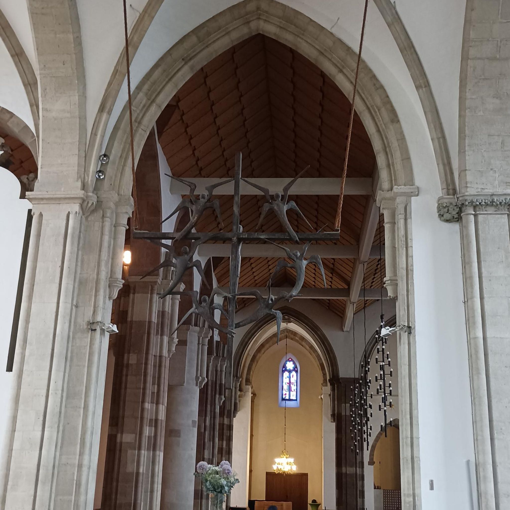
Hikers can discover several interesting landmarks. Schlierbach Abbey, an active Cistercian monastery known for its art and cheese dairy, is often incorporated into local routes. The Benedikt Pilgrim Circular Route also passes by Altpernstein Castle. For natural highlights, consider visiting the Rinnerberger Waterfall or the Dripping Wall.
What do other hikers say about the trails in Oberschlierbach?
The hiking routes in Oberschlierbach are highly regarded by the komoot community, with an average rating of 4.6 stars from over 2,700 reviews. Hikers frequently praise the diverse landscapes, the well-maintained paths, and the stunning views of the Upper Kremstal valley.
Are there any challenging hikes for experienced hikers?
While Oberschlierbach is known for its accessible trails, there are also more challenging options. The region's position in the Upper Austrian Alpine foothills means some routes involve more significant ascents. Out of over 500 routes, 62 are classified as difficult, offering a good challenge for experienced hikers.
Can I find places to eat or rest along the hiking trails?
Yes, there are options for refreshments and rest. The Großer Jäger Inn is one such place. Additionally, the region has several huts and cabins like the Grünburger Hut and Gradnalm, which can provide a welcome break during longer hikes.
What are the best viewpoints in the Oberschlierbach area?
Many trails offer magnificent vistas of the Upper Kremstal valley. The Grillenparz area is particularly noted for its excellent views. Hikes leading up to Eckelsberg also provide pleasant perspectives of the surrounding nature. For higher views, consider routes that pass near Großer Landsberg or Gaisberg Summit Cross.
What is the terrain like for hiking in Oberschlierbach?
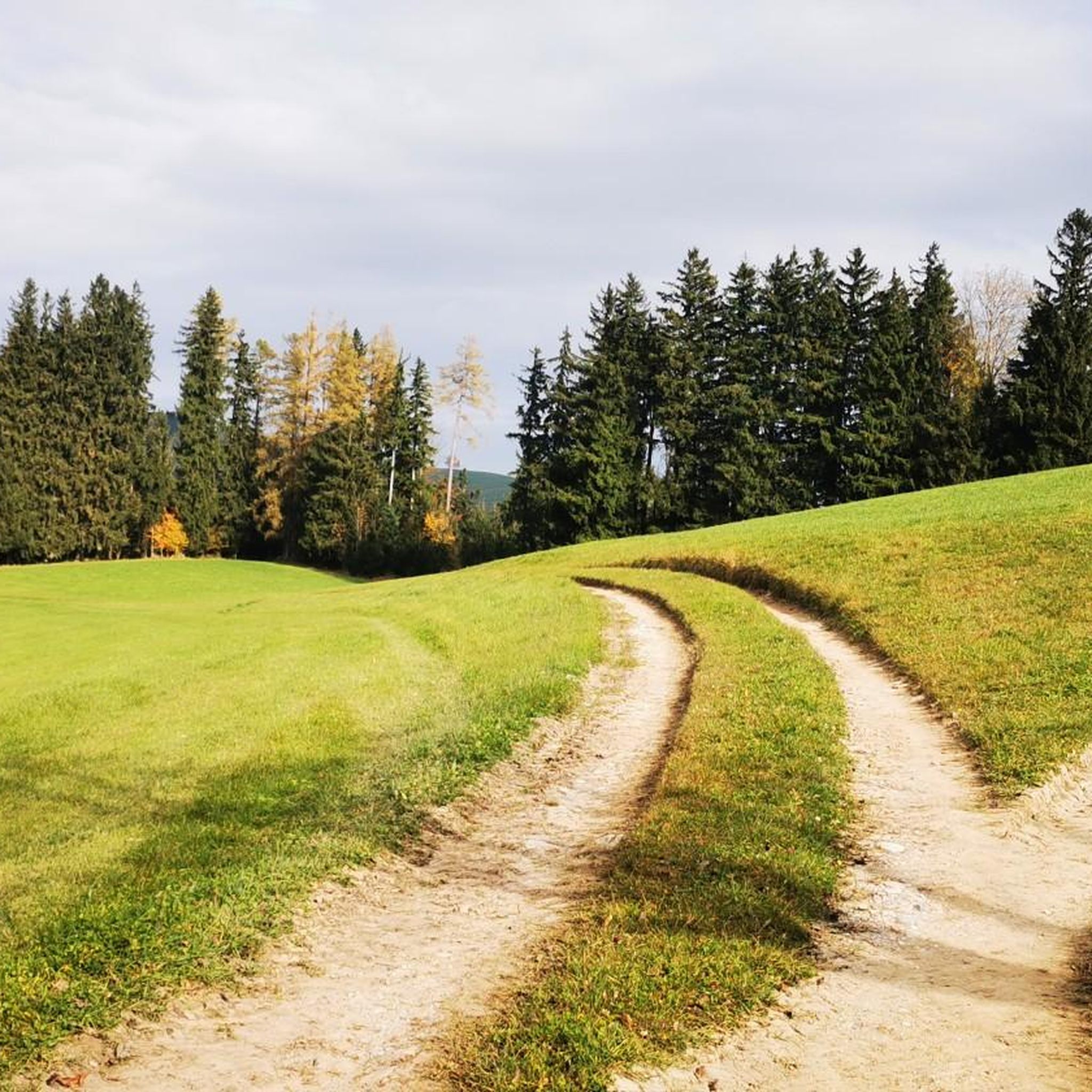
The terrain around Oberschlierbach is characterized by rolling hills within the Upper Austrian Alpine foothills. You'll find a mix of landscapes, from gentle paths along riverbanks to more elevated sections offering panoramic views. The trails are generally well-maintained and suitable for various fitness levels.
Are there any specific routes that feature the Rinnerberger Waterfall?
Yes, the Rinnerberger Waterfall is a prominent natural attraction in the area and is featured in several hiking trails. A popular moderate option is the Rinnerberger Waterfall – Rinnerberger Waterfall loop from Rinnerberg, which is about 8 km long. For an easier experience, the Rinnerberger Waterfall – Waterfall in the Gorge loop from Grünburg is a shorter, scenic choice.
Most popular routes around Oberschlierbach
Most popular attractions around Oberschlierbach

Get inspired with the komoot mobile app


Explore more
Browse the best Hikes in other regions.
