The best walks and hikes around Oberroggenburger Wald
4.5
(1024)
4,800
hikers
479
hikes
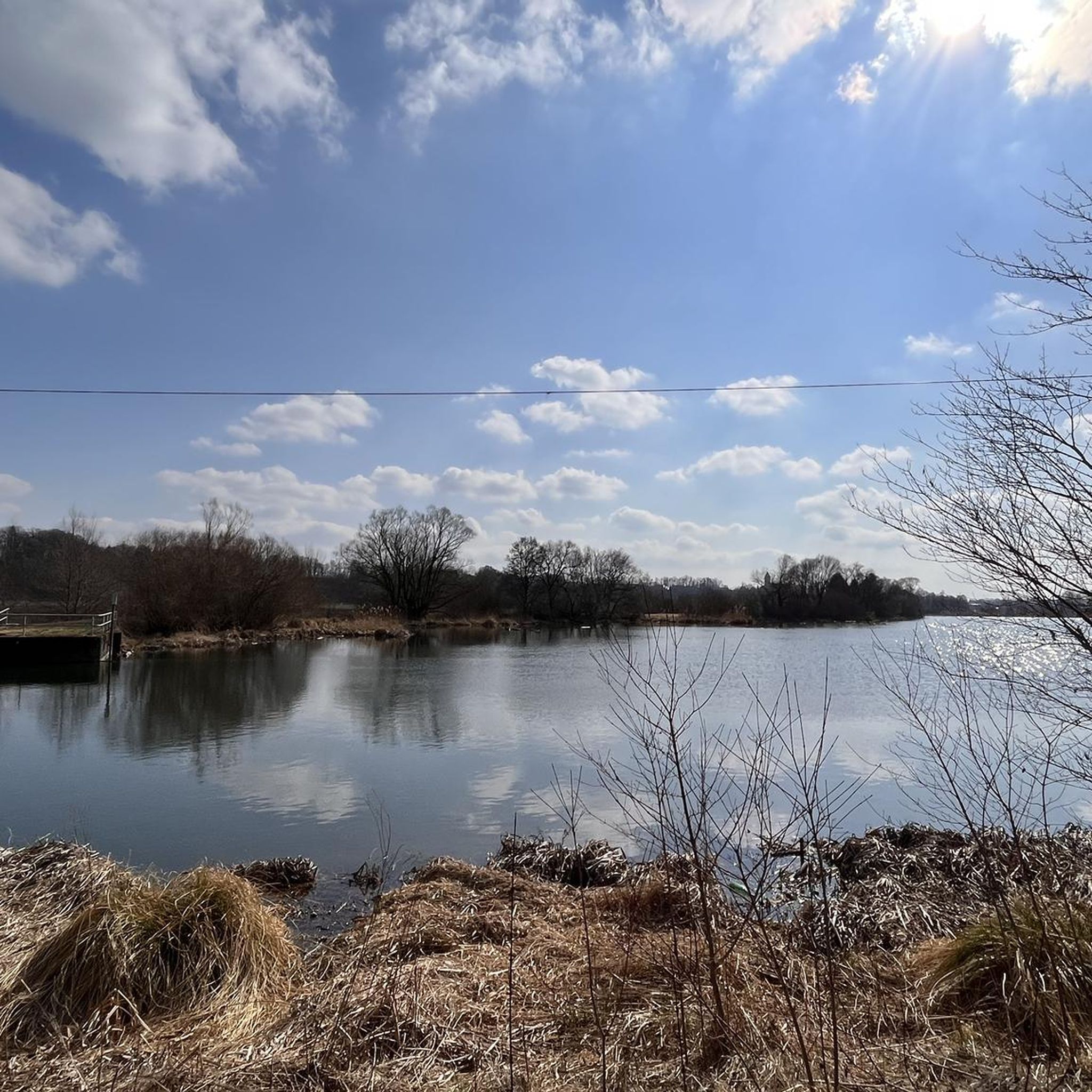
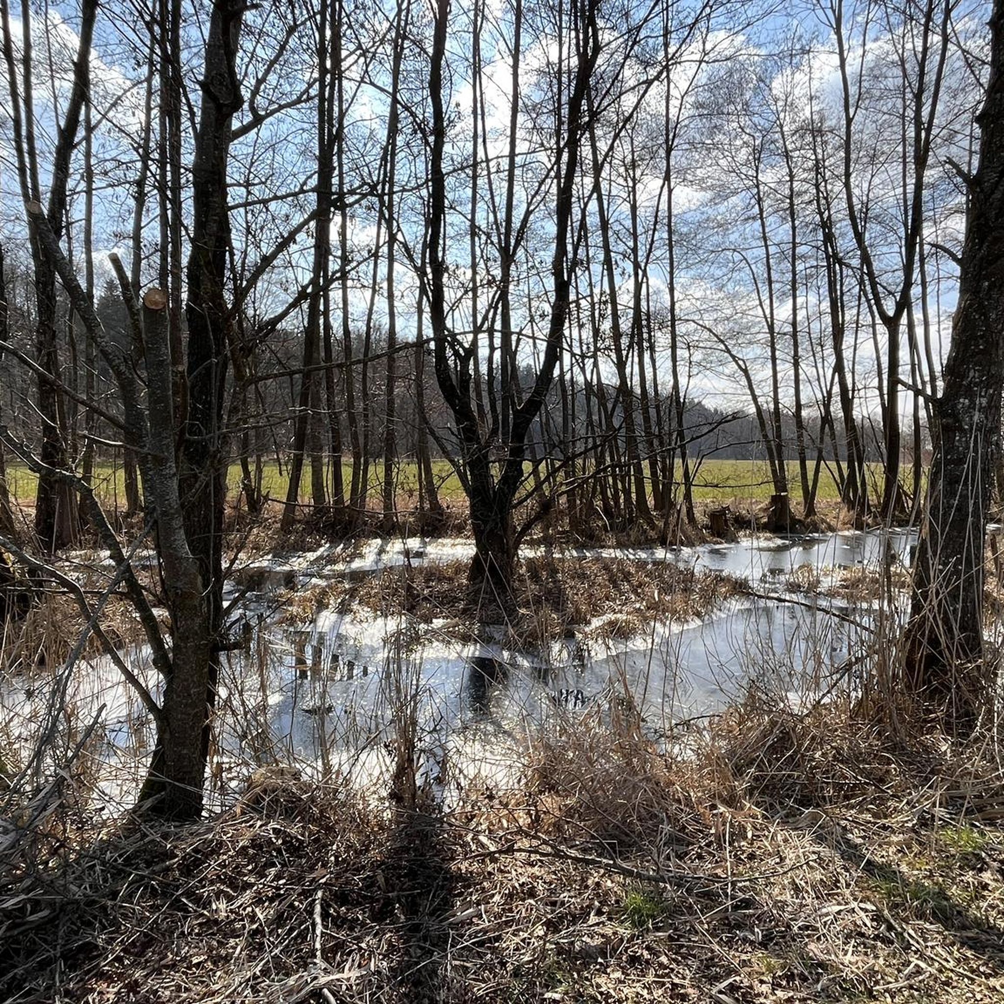
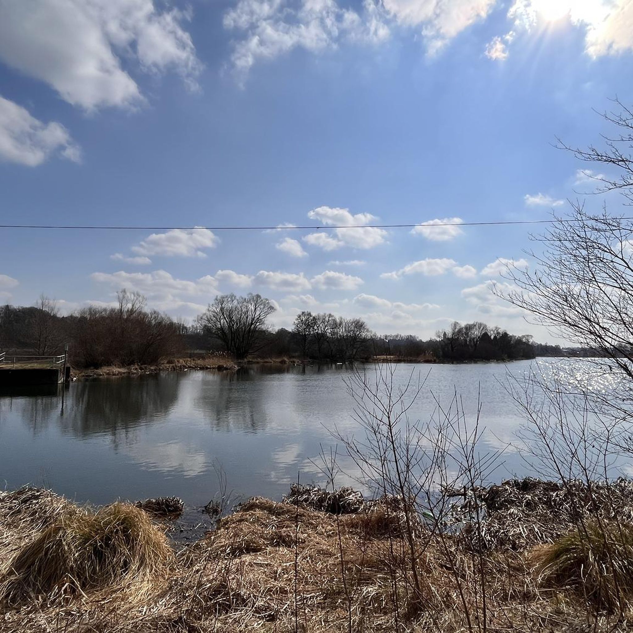
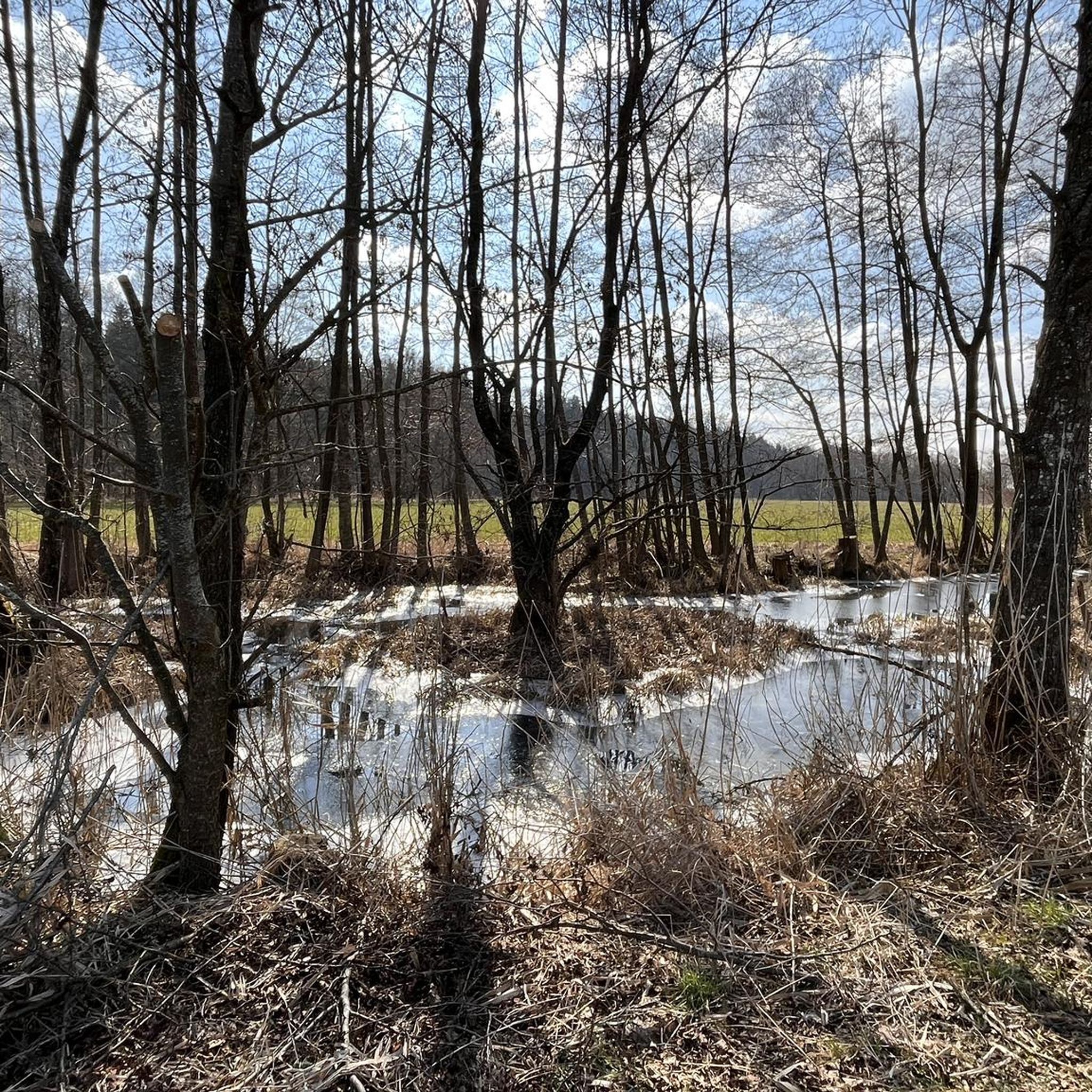
Hiking around Oberroggenburger Wald offers diverse natural scenery within the Schwaben region of Germany. The landscape is characterized by dense forests, open meadows, and tranquil ponds, providing varied backdrops for outdoor activities. River valleys, such as those along the Wertach, feature footbridges and expansive views, with elevations generally remaining below 200 meters.
Best hiking trails around Oberroggenburger Wald
- The most popular hiking route is Bridge Over the Günz – Gut Glaserhof loop from Breitenthal, a 11.6 miles (18.7 km)…
Last updated: July 8, 2026
4.2
(6)
13
hikers
18.7km
04:51
110m
110m
Moderate hike. Good fitness required. Easily-accessible paths. Suitable for all skill levels.
5.0
(1)
8
hikers
Moderate hike. Good fitness required. Easily-accessible paths. Suitable for all skill levels.

Sign up for free
5.0
(8)
17
hikers
11.0km
02:57
140m
140m
Moderate hike. Good fitness required. Easily-accessible paths. Suitable for all skill levels.
5.0
(1)
4
hikers
8.90km
02:20
70m
70m
Moderate hike. Good fitness required. Easily-accessible paths. Suitable for all skill levels.
3
hikers
9.88km
02:39
120m
120m
Moderate hike. Good fitness required. Easily-accessible paths. Suitable for all skill levels.
Get access to more routes and recommendations from other explorers.
Sign up for free
Already have an account?
Our route recommendations are based on thousands of hikes, rides, and runs completed by other people on komoot.
Start today with a free account
Your next adventure awaits.
Login or Signup

Tips from the Community

The listed 400-year-old monastery mill has been converted into a restaurant that is open on weekends.
0
0

Well, what can I write? It's just a bridge...😊
1
0

Very nice, large rest area in a good location.
0
0


Rest area with a great view of the monastery
0
0


Highly recommended. You're always learning. And it's also very clear for children.
0
0
Frequently Asked Questions
How many hiking trails are available in Oberroggenburger Wald?
Oberroggenburger Wald offers a vast network of over 450 hiking routes. These range from easy strolls to more challenging day hikes, ensuring options for various fitness levels and preferences.
What is the best time of year to go hiking in Oberroggenburger Wald?
The best seasons for hiking in Oberroggenburger Wald are typically spring and summer, when the landscape is in full bloom. Autumn also offers a beautiful experience with its vibrant fall foliage, making it an excellent time to explore the forests.
What do other hikers say about the trails in Oberroggenburger Wald?
The trails in Oberroggenburger Wald are highly rated by the komoot community, with an average score of 4.6 stars from over 1000 reviews. More than 5000 hikers have used komoot to explore the varied terrain, often praising the tranquil forests and well-maintained paths.
What kind of terrain can I expect on hikes in Oberroggenburger Wald?
The landscape around Oberroggenburger Wald is diverse, featuring dense forests, open meadows, and tranquil ponds. Many routes traverse varied forest and riverside paths, with elevations generally remaining below 200 meters, offering a mix of flat sections and gentle climbs.
Are there hiking options for beginners or families in Oberroggenburger Wald?
Yes, Oberroggenburger Wald is very suitable for beginners and families. Over 270 of the available routes are classified as easy. An example is the Hiking loop from Christertshofen, an easy 3.0-mile (4.8 km) trail through forest and open fields.
Are there any circular hiking routes in Oberroggenburger Wald?
Many of the routes in Oberroggenburger Wald are designed as circular walks. For instance, the Forest Pond at the Car House – Schleihenberg loop from Oberroggenburger Wald is a moderate 6.0-mile (9.7 km) path that leads through woodland and past a forest pond, bringing you back to your starting point.
What natural landmarks or features can I see while hiking?
While hiking, you can discover several natural highlights. The Roggenburg pond is an idyllic lake offering peaceful breaks. Some paths also feature expansive views along river valleys, such as those near the Wertach river, and you'll encounter numerous serene forest ponds.
Are there historical sites or cultural attractions near the hiking trails?
Yes, beyond natural beauty, the region offers historical and cultural attractions. You can explore the Old Town of Weißenhorn with its historical buildings, or visit the impressive Roggenburg Abbey. Other notable sites include Hürben Water Castle and the Fugger and nephew castle of Weißenhorn.
Are the hiking trails in Oberroggenburger Wald dog-friendly?
Many trails in Oberroggenburger Wald are suitable for dogs, especially those traversing the extensive forests and open fields. It's always recommended to keep dogs on a leash, particularly near wildlife or in agricultural areas, and to carry water for your pet.
Where can I find parking for the trailheads in Oberroggenburger Wald?
Parking is generally available near popular trailheads and villages surrounding Oberroggenburger Wald. Specific parking information can often be found on individual route descriptions on komoot, or by checking local signage in towns like Breitenthal or Christertshofen.
Is public transport available to reach the hiking areas?
While some areas might be accessible by local bus services, public transport options can be limited for reaching specific trailheads deep within Oberroggenburger Wald. It's advisable to check regional bus schedules in advance or consider driving to the starting points.
Are there places to eat or stay near the hiking trails?
Yes, you'll find various options for refreshments and accommodation in the villages surrounding Oberroggenburger Wald. Towns like Roggenburg and Weißenhorn offer restaurants, cafes, and guesthouses where you can relax and refuel after your hike.
Most popular routes around Oberroggenburger Wald
Most popular attractions around Oberroggenburger Wald

Get inspired with the komoot mobile app


Explore more
Browse the best Hikes in other regions.
