The best walks and hikes around Oberriexingen
4.5
(11811)
49,073
hikers
35
hikes
Hiking around Oberriexingen offers diverse natural features within Baden-Württemberg, Germany. The region is characterized by the picturesque Glems and Enz valleys, which feature varied terrain from gentle riverside paths to forested sections. The confluence of the Enz and Neckar rivers contributes to the area's landscape, with terraced vineyards providing scenic backdrops. Muschelkalk Cliffs near Bietigheim add geological interest to the hiking experience.
Best hiking trails around Oberriexingen
- The most popular hiking route is Goose farm on the Enz – Leinfelder…
Last updated: July 4, 2026
4.3
(10)
58
hikers
9.06km
02:26
110m
110m
Moderate hike. Good fitness required. Easily-accessible paths. Suitable for all skill levels.
4.0
(9)
48
hikers
Easy hike. Great for any fitness level. Easily-accessible paths. Suitable for all skill levels.

Sign up for free
5.0
(1)
28
hikers
4.96km
01:19
50m
50m
Easy hike. Great for any fitness level. Easily-accessible paths. Suitable for all skill levels.
5.0
(2)
21
hikers
13.2km
03:35
180m
180m
Moderate hike. Good fitness required. Easily-accessible paths. Suitable for all skill levels.
4.3
(3)
11
hikers
10.6km
02:50
110m
120m
Moderate hike. Good fitness required. Mostly accessible paths. Sure-footedness required.
Get access to more routes and recommendations from other explorers.
Sign up for free
Already have an account?
Our route recommendations are based on thousands of hikes, rides, and runs completed by other people on komoot.
Start today with a free account
Your next adventure awaits.
Login or Signup

Tips from the Community

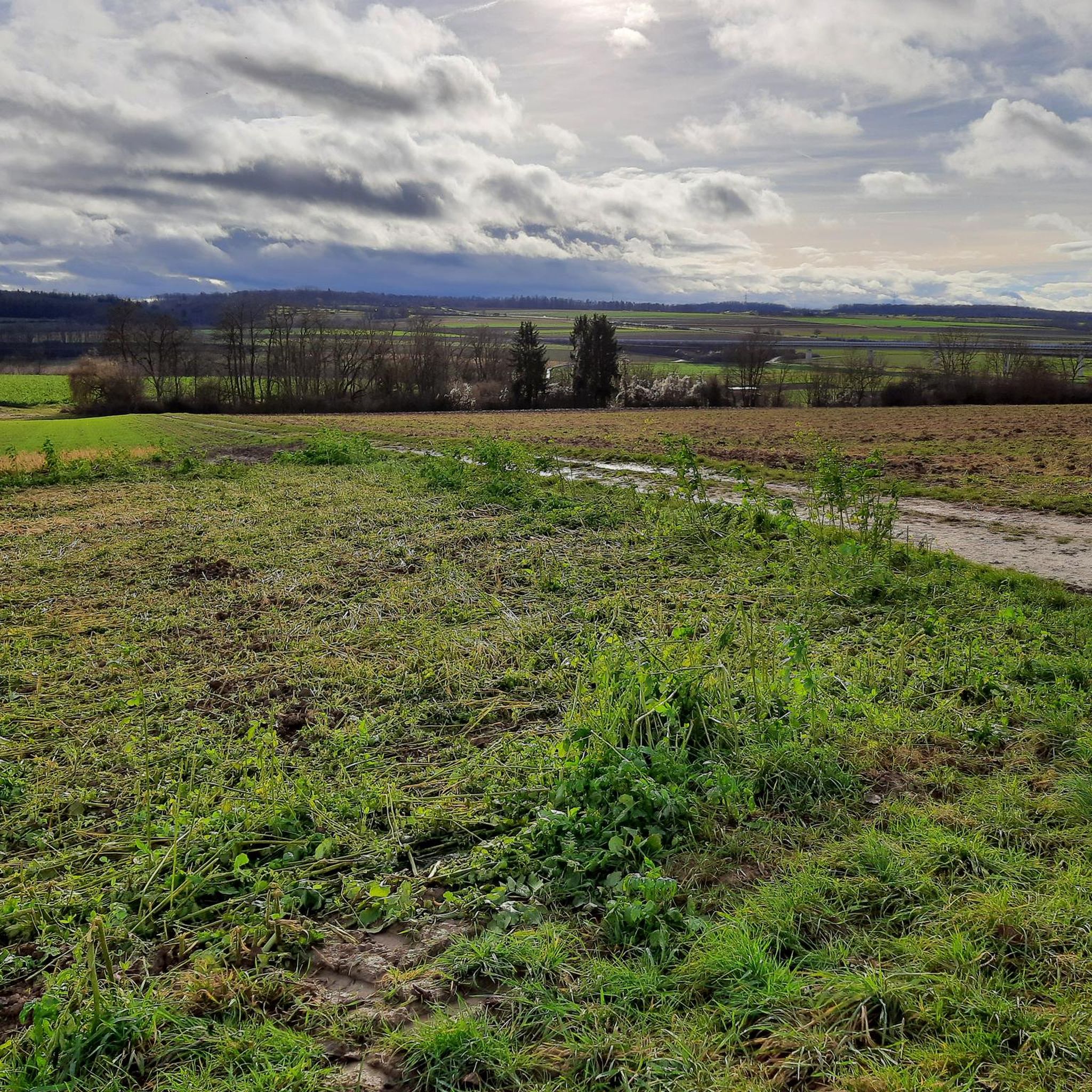
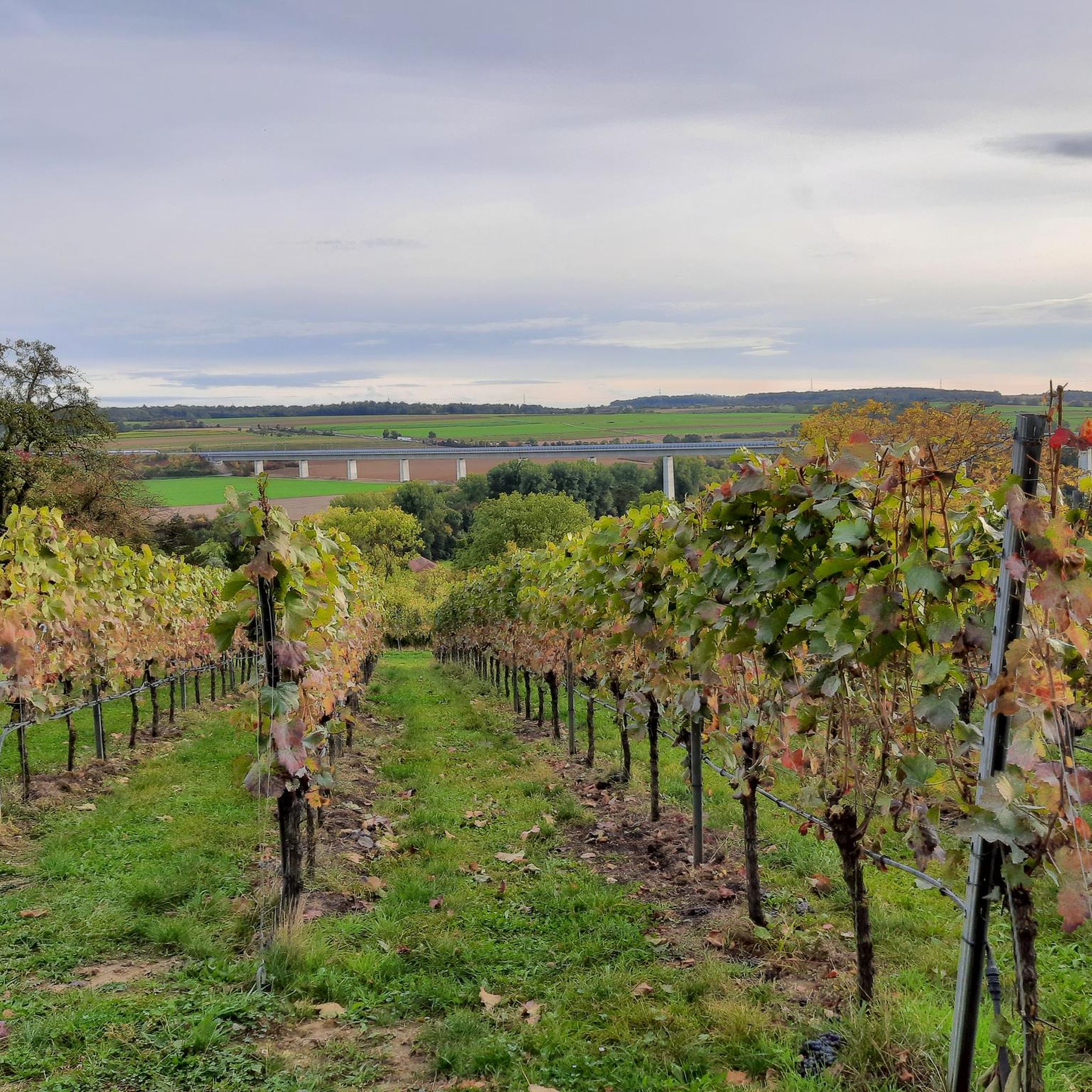
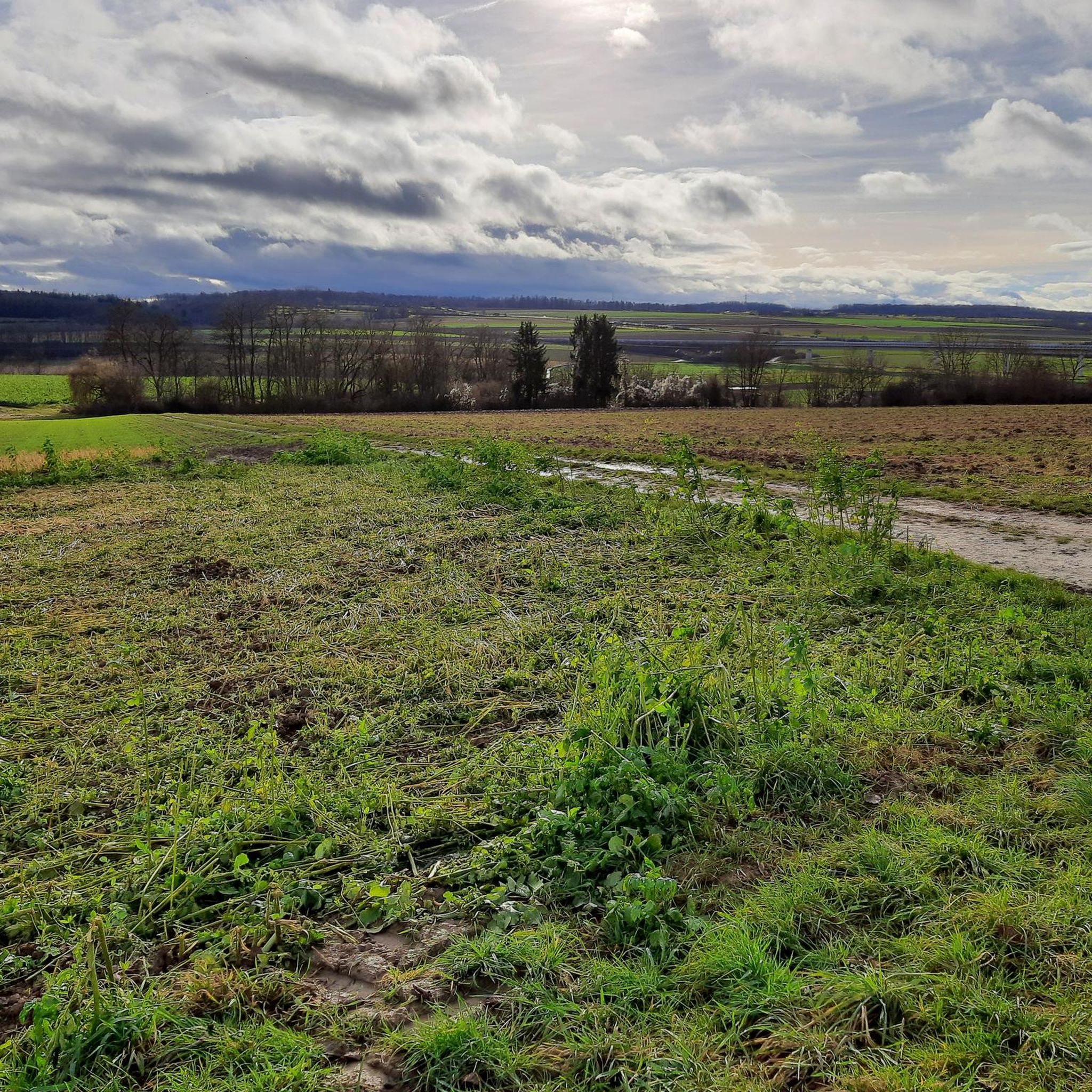
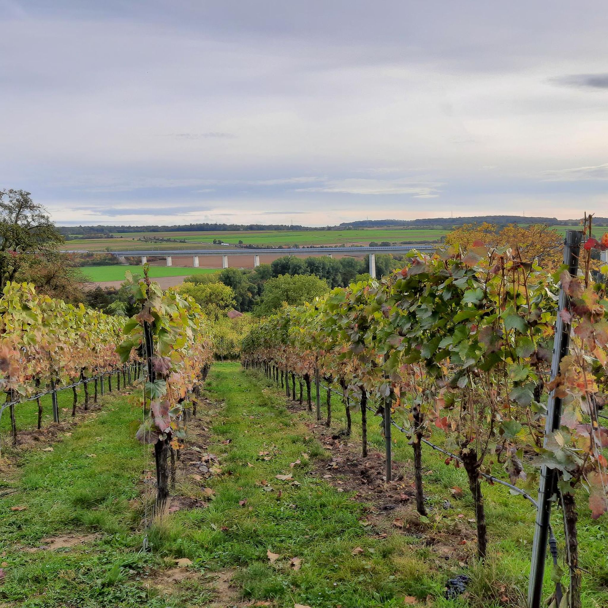
Viewpoint "Zur schönen Aussicht" with seating and a wonderful view from the vineyards towards Enzweihingen and Enztal.
6
0
Seating area directly at the Römerhof with a beautiful, fairly wide view towards the Enz valley.
5
0

A seemingly endless staircase leading into the Enz Valley
0
1

From here you have a beautiful view of Enzweihingen.
0
0

A square with a bench and a wonderful view of Enzweihingen and the Enz Valley. Behind the bench stands a historic boundary stone. Unfortunately, the legacy of contemporaries mars this positive impression.
0
0
Steep, irregular, and not always easy steps lead up a somewhat overgrown path through the vineyards. However, the route offers repeated, beautiful views toward the Enz Valley and Unterriexingen.
7
0
Very interesting is the triad of Rarhaus, Kaltenstein Castle and the town church
1
0

Bench with a beautiful view of the Enz Valley
2
0
Frequently Asked Questions
How many hiking trails are available around Oberriexingen?
There are over 35 hiking routes around Oberriexingen, offering a variety of experiences. These include easy riverside walks and more moderate trails through forested sections and vineyards.
What kind of landscapes can I expect to see while hiking near Oberriexingen?
The region around Oberriexingen is characterized by the picturesque Glems and Enz valleys, featuring varied terrain from gentle riverside paths to forested sections. You'll also encounter terraced vineyards, and unique geological formations like the Muschelkalk Cliffs near Bietigheim.
Are there any historical sites or attractions along the hiking routes?
Yes, many trails intertwine natural beauty with historical points of interest. You can find historical mills, a 14th-century pilgrimage church, and memorials from the Second World War. The Celtic grave Hochdorf and the Hohenasperg Fortress are notable nearby attractions.
Are the hiking trails around Oberriexingen suitable for families with children?
Yes, Oberriexingen offers many family-friendly options. There are 24 easy routes, such as the Oberriexingen Town Hall – View of the Enz River loop from Oberriexingen, which is 4.0 miles (6.4 km) long and offers relaxed views of the Enz River, suitable for all ages.
Can I bring my dog on the hiking trails in Oberriexingen?
Many trails in the Oberriexingen area are dog-friendly, especially those along the river valleys and through forested sections. It's always recommended to keep dogs on a leash, particularly in protected areas or near wildlife, and to respect local signage.
What are the difficulty levels of the hikes in Oberriexingen?
The trails cater to various fitness levels. There are 24 easy routes, perfect for a relaxed stroll, and 11 moderate routes for those seeking a bit more challenge. There are no difficult routes listed, making the area accessible for most hikers.
Are there any circular hiking routes available?
Yes, many of the routes around Oberriexingen are circular, allowing you to start and end at the same point. Examples include the Goose farm on the Enz – Leinfelder Hof loop from Oberriexingen and the Boundary stone – Röhmerhof Riding Stable loop from Oberriexingen.
Where can I find parking for hiking trails in Oberriexingen?
Parking is generally available at trailheads or near popular starting points in and around Oberriexingen. Specific parking information can often be found on individual route descriptions or local tourist information boards.
How can I reach the hiking trails in Oberriexingen using public transport?
Oberriexingen is connected by public transport within the Baden-Württemberg region. You can often reach starting points of trails via local bus services. Checking local transport schedules for connections to Oberriexingen and nearby villages like Unterriexingen is advisable.
Are there any specific viewpoints or scenic spots to look out for?
Absolutely. The confluence of the Enz and Neckar rivers offers stunning views, as do the terraced vineyards. The Eselsburg Observation Tower is a notable viewpoint nearby, offering expansive vistas of the surrounding landscape.
What is the best time of year to go hiking in Oberriexingen?
The region is beautiful year-round. Spring brings blooming nature, summer offers pleasant riverside walks, and autumn showcases vibrant colors in the vineyards and forests. Even winter can be charming for a crisp walk, though some paths might be muddy.
Are there opportunities for refreshments or food stops along the trails?
Yes, the area has several options for refreshments. You might find traditional German gastronomy in Oberriexingen itself or in nearby villages. Some routes pass by facilities like the Pfeiferhütte Barbecue Area or the Stromberghütte barbecue area, which can offer a place to rest and refuel.
Are hiking permits required in Oberriexingen?
No, hiking permits are generally not required for the trails around Oberriexingen. The trails are publicly accessible, though it's always good practice to respect private property and protected areas.
What do other hikers say about the trails in Oberriexingen?
The routes in Oberriexingen are highly rated by the komoot community, with an average score of 4.4 stars from over 50 reviews. Hikers often praise the varied terrain, the scenic river views, and the well-maintained paths that cater to different ability levels.
Most popular routes around Oberriexingen
Most popular attractions around Oberriexingen

Get inspired with the komoot mobile app


Explore more
Browse the best Hikes in other regions.
