The best walks and hikes around Oberottmarshausen
4.5
(4184)
20,146
hikers
1,047
hikes
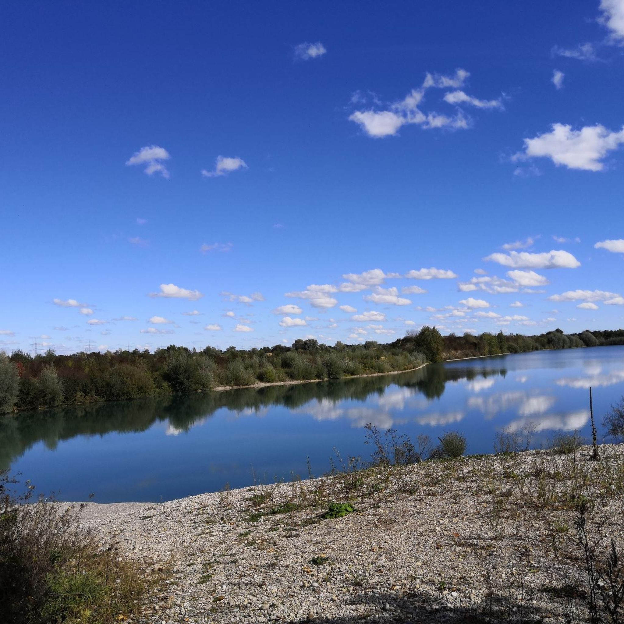
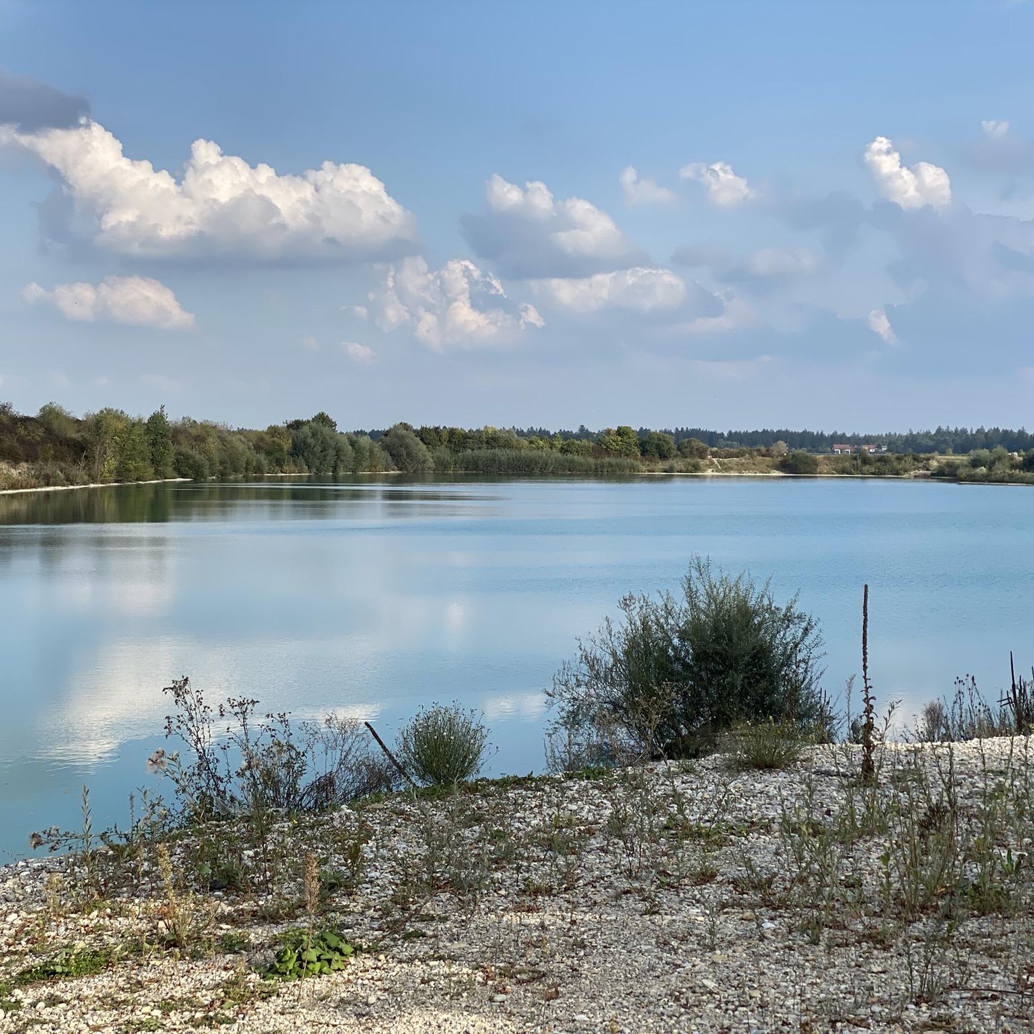
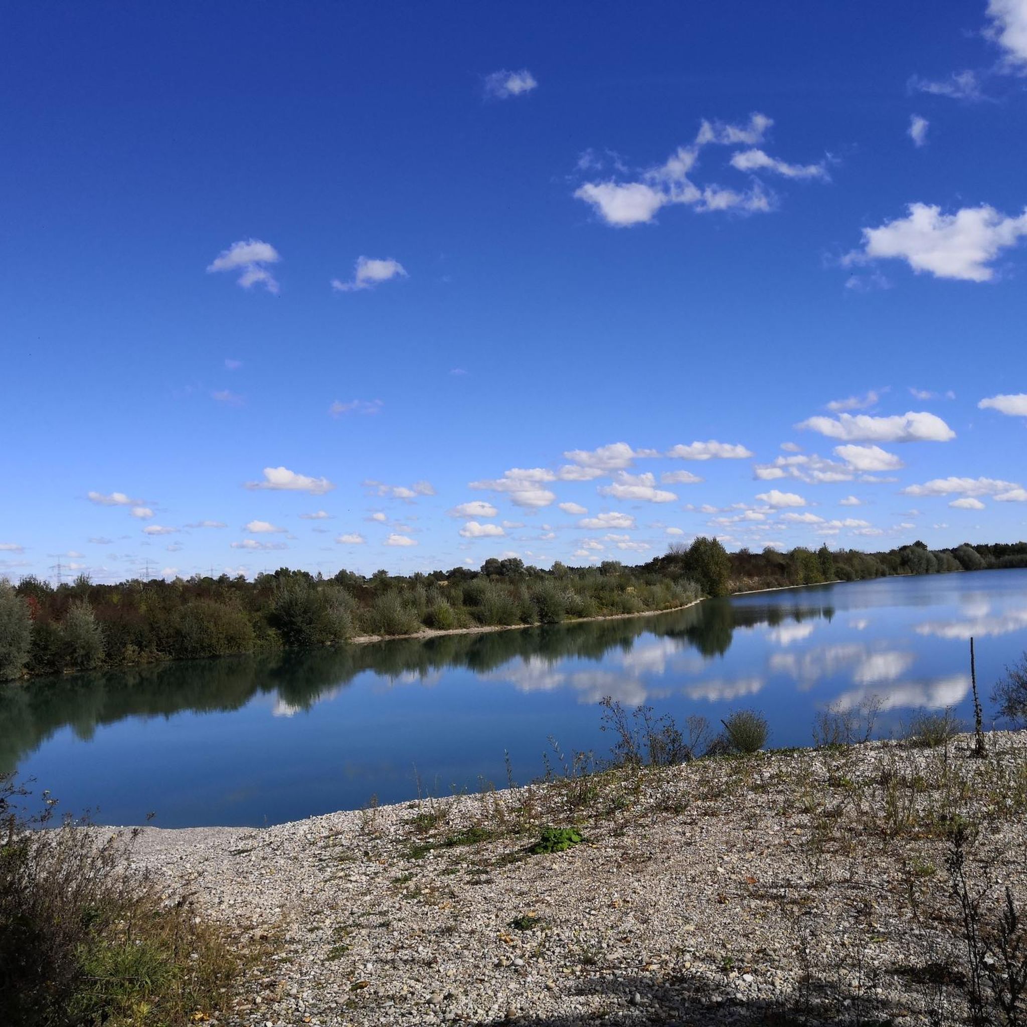
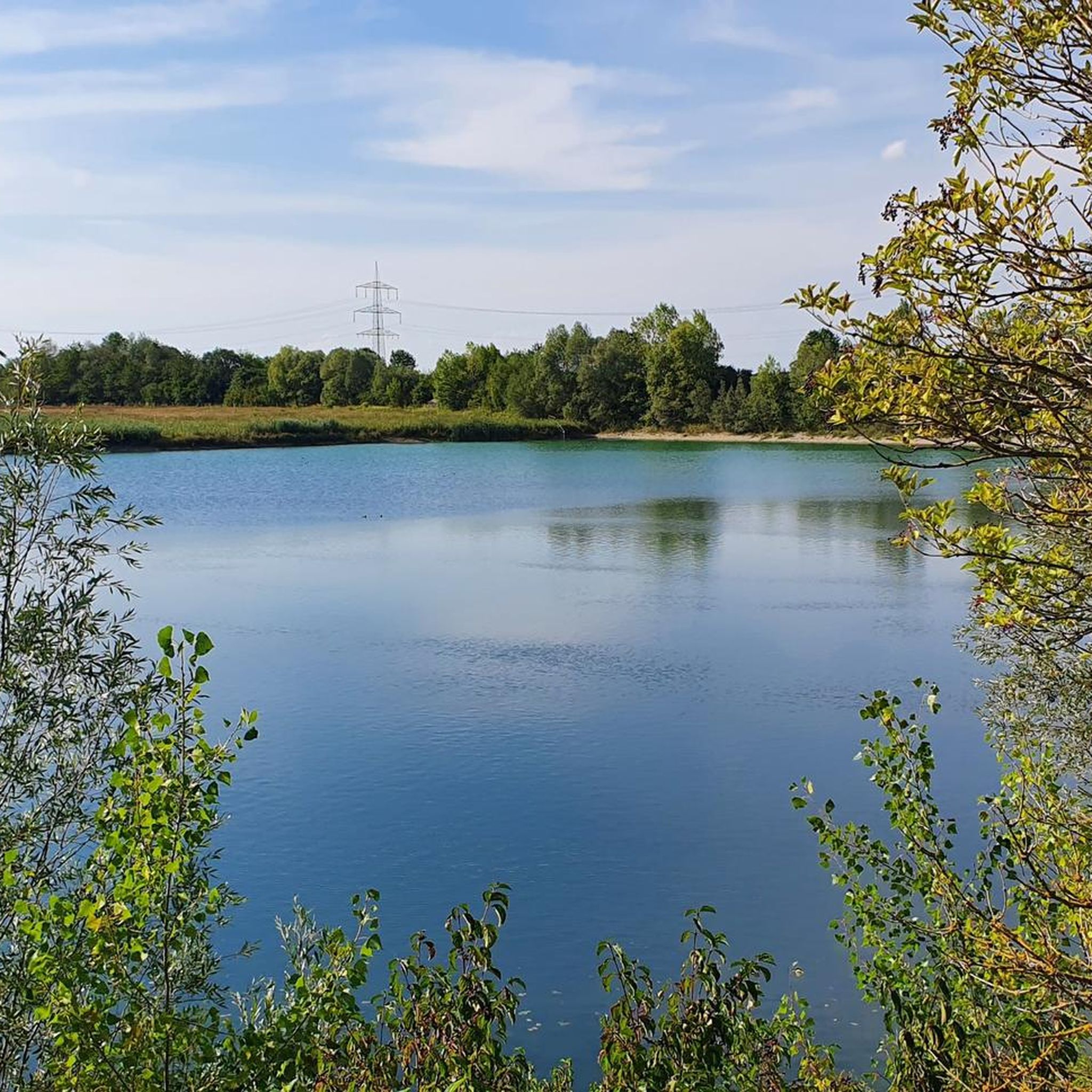
Hiking around Oberottmarshausen offers access to a landscape characterized by rolling hills, green meadows, and the Lech River. The village is situated within the broader Augsburg district, known for its Western Woods, providing varied terrain for outdoor activities. Trails often follow riverbanks or wind through open countryside, with some routes exploring local lakes.
Best hiking trails around Oberottmarshausen
- The most popular hiking route is Prittriching Reservoir – Forest Trail Along the Lech loop from Prittriching, a 5.7 miles (9.2…
Last updated: August 20, 2026
4.8
(12)
80
hikers
Moderate hike. Good fitness required. Easily-accessible paths. Suitable for all skill levels.
4.6
(9)
34
hikers
Easy hike. Great for any fitness level. Easily-accessible paths. Suitable for all skill levels.

Sign up for free
5.0
(3)
10
hikers
11.3km
02:51
20m
20m
Moderate hike. Good fitness required. Easily-accessible paths. Suitable for all skill levels.
5.0
(1)
7
hikers
3.63km
00:55
10m
10m
Easy hike. Great for any fitness level. Easily-accessible paths. Suitable for all skill levels.
5.0
(1)
4
hikers
Moderate hike. Good fitness required. Easily-accessible paths. Suitable for all skill levels.
Get access to more routes and recommendations from other explorers.
Sign up for free
Already have an account?
Our route recommendations are based on thousands of hikes, rides, and runs completed by other people on komoot.
Start today with a free account
Your next adventure awaits.
Login or Signup

Tips from the Community

Beautiful path along the Lech river and nature reserve.
0
0
Beautiful forest path along the Lech river
0
0
Beautiful view of the reservoir from the dam.
0
0
A very beautiful nature reserve with rich biodiversity.
0
0
A beautiful nature reserve and the path along the Lech river is easily walkable.
0
0
A beautiful nature reserve for observing nature and birdlife.
0
0

Here, aquatic life can migrate upstream
1
0

A fish pass was built at Lech barrage 22 near Unterbergen to improve the ecological continuity of the Lech for migratory fish species. This measure enables fish to overcome the barrage and continue their natural migration routes. Details of the fish pass: • Construction: The facility is designed as a near-natural bypass stream that offers fish the most natural passage possible. • Location: It is located on the western bank of the barrage and can be reached via a hiking trail. • Significance for ecology: The fish pass promotes biodiversity in the Lech, as it enables various fish species to reach their spawning grounds upstream. The fish pass is not only ecologically valuable, but also an interesting destination for nature lovers and hikers. There are numerous hiking trails along the Lech that lead to the barrage and the fish pass. A popular route is the “Lechstaustufe 22 - Unterbergen - Fischtreppe Runde von Unterbergen”, which is described on the Komoot platform. Visitors can observe how the system works and learn more about the efforts to renature the Lech. It is recommended to pay attention to local instructions and to be considerate of nature so as not to disturb the animals' habitats.
1
0
Frequently Asked Questions
How many hiking trails are available around Oberottmarshausen?
There are over 1,000 hiking trails around Oberottmarshausen, offering a wide variety of options for all skill levels. The komoot community has explored more than 18,000 of these routes.
What types of terrain and difficulty levels can I expect on hikes in Oberottmarshausen?
The region features a charming landscape of rolling hills, green meadows, and paths along the Lech River. You'll find a good mix of trails: over 720 are classified as easy, 270 as moderate, and 15 as difficult, ensuring options for every preference.
Are there any family-friendly hiking routes in Oberottmarshausen?
Yes, Oberottmarshausen is great for families. Many of the easy trails are suitable for all ages. The "Waldgeist" forest playground is also a notable attraction for children, providing a fun stop during or after a hike. For a relaxed, easy walk, consider the Milestone Via Claudia Augusta loop from Oberottmarshausen, which is just over 3.6 km long.
What natural features or landmarks can I see while hiking around Oberottmarshausen?
Hiking around Oberottmarshausen offers views of the picturesque Lech River, rolling hills, and expansive green meadows. You can also explore several beautiful lakes in the vicinity. Highlights include Auensee and Lake Mandicho, both popular spots for tranquil walks.
Are there any circular hiking routes in the area?
Yes, many trails around Oberottmarshausen are circular, allowing you to start and end at the same point. An example is the Auensee near Unterbergen loop from Lechauwald bei Unterbergen, an easy 5.2 km path that circles the tranquil Auensee.
What is the best time of year to go hiking in Oberottmarshausen?
Spring and summer are ideal for hiking in Oberottmarshausen, when nature is in full bloom with colorful flowers along the paths. Autumn also offers beautiful, colorful deciduous forests in the wider Augsburg region, providing a scenic backdrop for your walks.
Are there any longer, more challenging hikes for experienced hikers?
While many trails are easy to moderate, there are some longer routes for those seeking more of a challenge. For instance, the Lech Dam 22 – Unterbergen – Auensee near Unterbergen loop from Oberottmarshausen is a moderate 16.7 km route that takes around 4 hours 15 minutes to complete.
What do other hikers say about the trails in Oberottmarshausen?
The trails in Oberottmarshausen are highly rated by the komoot community, with an average score of 4.6 stars from over 3,400 reviews. Hikers often praise the varied terrain, the scenic views along the Lech River, and the well-maintained paths.
Are there any specific trails that offer views of the Auensee?
Yes, the Auensee is a popular feature in the area. You can enjoy views of the lake on the View of Auensee – Auensee near Unterbergen loop from Handtuchwald, a moderate 11.1 km trail that leads through open fields and near the lake.
What kind of natural environment defines the hiking experience in Oberottmarshausen?
The hiking experience in Oberottmarshausen is defined by its idyllic natural environment. You'll encounter charming rolling hills, expansive green meadows, and the scenic Lech River. The broader Augsburg district also features the 'Western Woods,' offering shady forest paths that provide pleasant cooling during summer hikes.
What are the typical distances and durations for hikes in this region?
Hikes around Oberottmarshausen vary widely. Easy routes can be as short as 3-5 km, taking about an hour or two. Moderate trails often range from 9-12 km, requiring 2.5 to 3 hours. For example, the Prittriching Reservoir – Forest Trail Along the Lech loop from Prittriching is a moderate 9.2 km trail that takes approximately 2 hours 20 minutes.
Most popular routes around Oberottmarshausen
Most popular attractions around Oberottmarshausen

Get inspired with the komoot mobile app


Explore more
Browse the best Hikes in other regions.
