The best walks and hikes around Oberkulm
4.5
(2320)
13,475
hikers
640
hikes
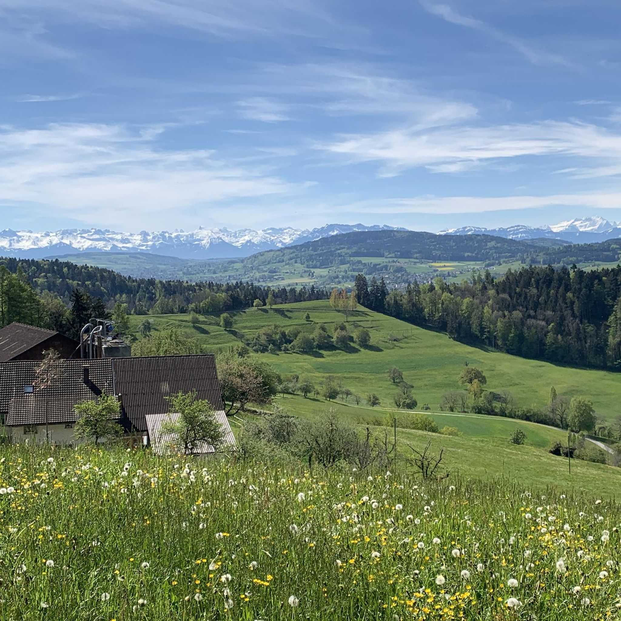
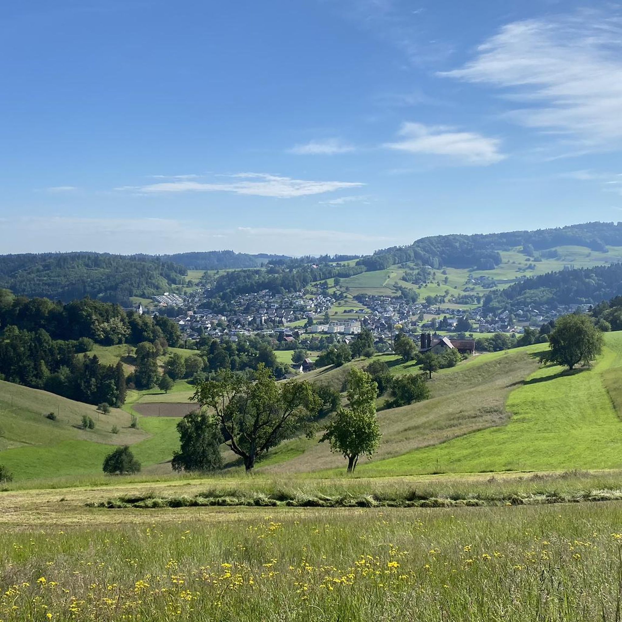
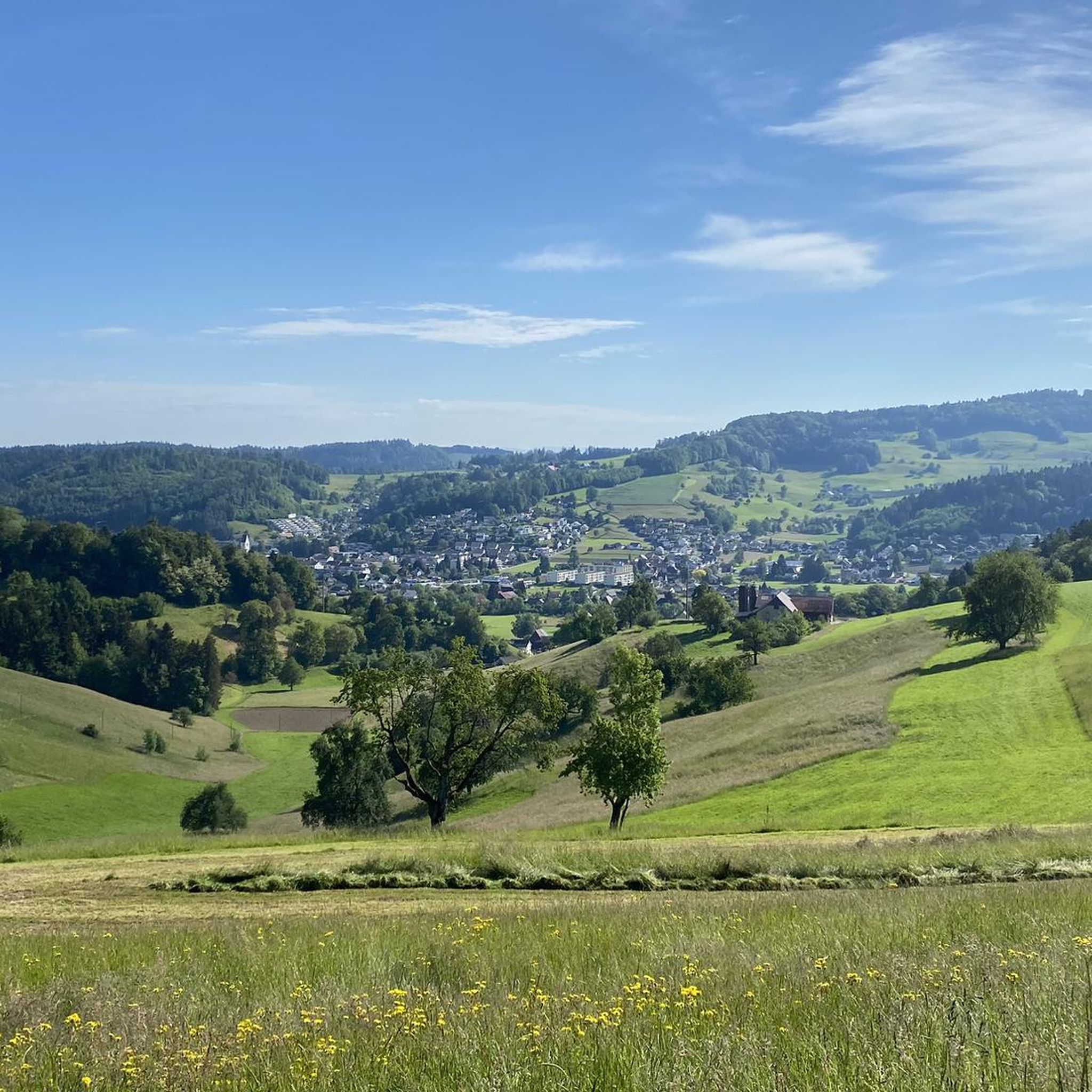
Hiking around Oberkulm offers diverse landscapes characterized by rolling hills and picturesque valleys, including the Wynental and Ruedertal. The region features an "up and down hills" topography, providing varied terrain for outdoor activities. Extensive forested areas cover 36.1% of the land, alongside vast agricultural areas, creating a lush environment for hikers. The Wyna river flows through the municipality, contributing to the natural scenery.
Best hiking trails around Oberkulm
- The most popular hiking route is Böhler Pass – Böhler Trail loop from Bööler Passhöchi, a 6.7 miles (10.8 km) trail that takes 2 hours 58 minutes to complete. This moderate route explores the Böhler Pass area.
- Another top favourite among local hikers is Homberg Observation Tower – Wandfluh Bike Trail loop from Leutwil, a moderate 6.2 miles (10.0 km) path. This trail includes the Homberg Observation Tower, offering elevated perspectives of the surroundings.
- Local hikers also love the Hoheliebe Glacial Erratic – Böler Summit loop from Oberkulm, a 7.7 miles (12.4 km) trail leading through varied terrain, often completed in about 3 hours 30 minutes.
- Hiking around Oberkulm is defined by rolling hills, picturesque valleys, and extensive forested areas. The network offers options for different ability levels, from easy strolls to more challenging treks.
- The routes in Oberkulm are highly rated by the komoot community with an average score of 4.6 stars from more than 1,900 reviews. More than 12,000 hikers have used komoot to explore Oberkulm's varied terrain.
Last updated: October 14, 2026
4.3
(4)
16
hikers
9.98km
02:50
230m
230m
Moderate hike. Good fitness required. Easily-accessible paths. Suitable for all skill levels.
5.0
(6)
9
hikers
12.4km
03:30
260m
260m
Moderate hike. Good fitness required. Easily-accessible paths. Suitable for all skill levels.

3.0
(5)
12
hikers
Moderate hike. Good fitness required. Easily-accessible paths. Suitable for all skill levels.
4.8
(5)
9
hikers
8.93km
02:30
180m
180m
Moderate hike. Good fitness required. Easily-accessible paths. Suitable for all skill levels.
4.0
(2)
9
hikers
6.01km
01:41
120m
110m
Easy hike. Great for any fitness level. Easily-accessible paths. Suitable for all skill levels.
Get access to more routes and recommendations from other explorers.
Already have an account?
Our route recommendations are based on thousands of hikes, rides, and runs completed by other people on komoot.
Start today with a free account
Your next adventure awaits.
Tips from the Community

Interesting information about the origin of the erratic boulder
0
0
Provide information about the glacial erratic
0
0

Now part of the Collection https://www.komoot.com/de-de/collection/3600632/-naturdenkmaeler-besondere-baeume-und-weitere-schaetze-der-natur
2
0

The fir tree is no longer standing.
1
0

Closed Tuesdays and Wednesdays Link: https://homberg.restaurant/
1
0

I've driven past him many times and never really noticed him. Theodor Fischer was a writer, painter, and artist. He died here on the Homberg in 1925. https://de.wikipedia.org/wiki/Theodor_Fischer_%28Maler%2C_1872%29?wprov=sfla1 You can find everything known about this man on Wikipedia.
1
0
Easy to drive, with views of the Ruedertal and the Alps
1
0

Suddenly after leaving the forest, a memorial plaque for Theodor Fischer appears, unfortunately I haven't seen or heard anything about TF yet😅😢
1
0
Frequently Asked Questions
How many hiking trails are available around Oberkulm, and what are their difficulty levels?
There are over 660 hiking trails around Oberkulm. The majority are easy (over 380 routes) or moderate (around 265 routes), with a smaller number of challenging options (13 routes). This diverse network caters to various fitness levels, from leisurely strolls to more demanding treks through the region's rolling hills and valleys.
What do other hikers enjoy most about the trails in Oberkulm?
The area is highly rated by the komoot community, with an average score of 4.6 stars from over 1,900 reviews. Hikers often praise the varied terrain, which includes rolling hills, picturesque valleys, and extensive forested areas, providing a dynamic experience with rewarding ascents and descents.
Are there any family-friendly hiking routes in Oberkulm?
Yes, Oberkulm offers many routes suitable for families. The region's diverse landscape with its forests and agricultural lands provides pleasant and accessible paths. For example, the Woodland Rest Area Oberkulm – View of the Forest in Aargau loop from Unterkulm is a moderate 7.5 km trail that offers immersion in the local woodlands, perfect for a family outing.
Are there any dog-friendly trails around Oberkulm?
Many of the trails in Oberkulm are suitable for hiking with dogs, offering varied terrain through forests and open fields. It's always recommended to keep dogs on a leash, especially in agricultural areas or near wildlife. The region's natural environment provides plenty of opportunities for you and your canine companion to explore together.
What kind of natural features or landmarks can I expect to see on a hike in Oberkulm?
Oberkulm's landscape is characterized by rolling hills, picturesque valleys, and extensive forests. You can find natural monuments like Fünfweiher or the larger Lake Hallwil, which features a unique nature reserve. The region also has interesting geological formations such as the Liebeggerwald Sandstone Caves and the Hügeliloch Cave.
Are there any routes that offer panoramic views?
Absolutely. The region is known for its elevated perspectives. The Homberg Observation Tower – Wandfluh Bike Trail loop from Leutwil is a moderate 10 km path that includes the Homberg Observation Tower, providing expansive views of the surrounding countryside. The Esterli Tower, though not directly on a featured route here, is also a local highlight for panoramic vistas.
Can I find any circular hiking routes in the Oberkulm area?
Yes, many of the trails around Oberkulm are designed as loops, allowing you to start and end at the same point. For instance, the Böhler Pass – Böhler Trail loop from Bööler Passhöchi is a moderate 10.8 km circular route exploring the Böhler Pass area. Another option is the Hoheliebe Glacial Erratic – Böler Summit loop from Oberkulm, a 12.4 km trail leading through varied terrain.
Are there any historical or cultural sites to explore while hiking?
Yes, hiking in the Oberkulm region can be combined with cultural attractions. The 'Castle Route' leads to the historic Hallwyl Water Castle, a romantic moated castle where visitors can experience history firsthand and enjoy the adjacent nature reserve. You can also find the Scherenberg Castle Ruins and Rock Carvings nearby.
What is a good moderate hike to experience the Aargau countryside around Oberkulm?
For a scenic moderate hike showcasing the Aargau countryside, consider the View of the Aargau Countryside loop from Oberkulm. This 9 km route offers beautiful views and a good representation of the region's characteristic rolling hills and agricultural landscapes.
What is the best season for hiking in Oberkulm?
The diverse landscape of Oberkulm, with its forests and valleys, makes it appealing for hiking throughout much of the year. Spring and autumn offer pleasant temperatures and vibrant scenery, while summer provides lush greenery. Even in winter, some trails can be enjoyed, though conditions may vary, especially on higher ground.
Most popular attractions around Oberkulm

Get inspired with the komoot mobile app


Explore more
Browse the best Hikes in other regions.
