The best road cycling routes around Oberhonnefeld-Gierend
4.5
(214)
2,000
riders
97
rides
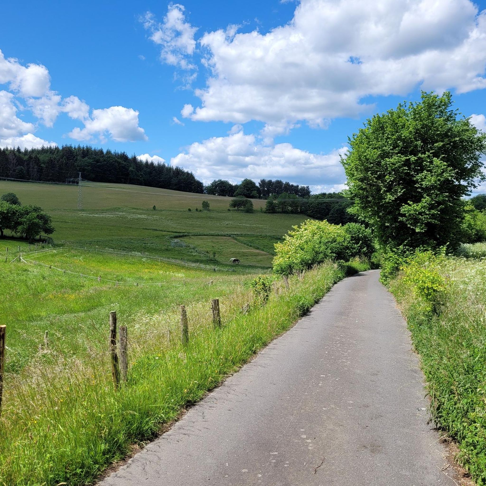
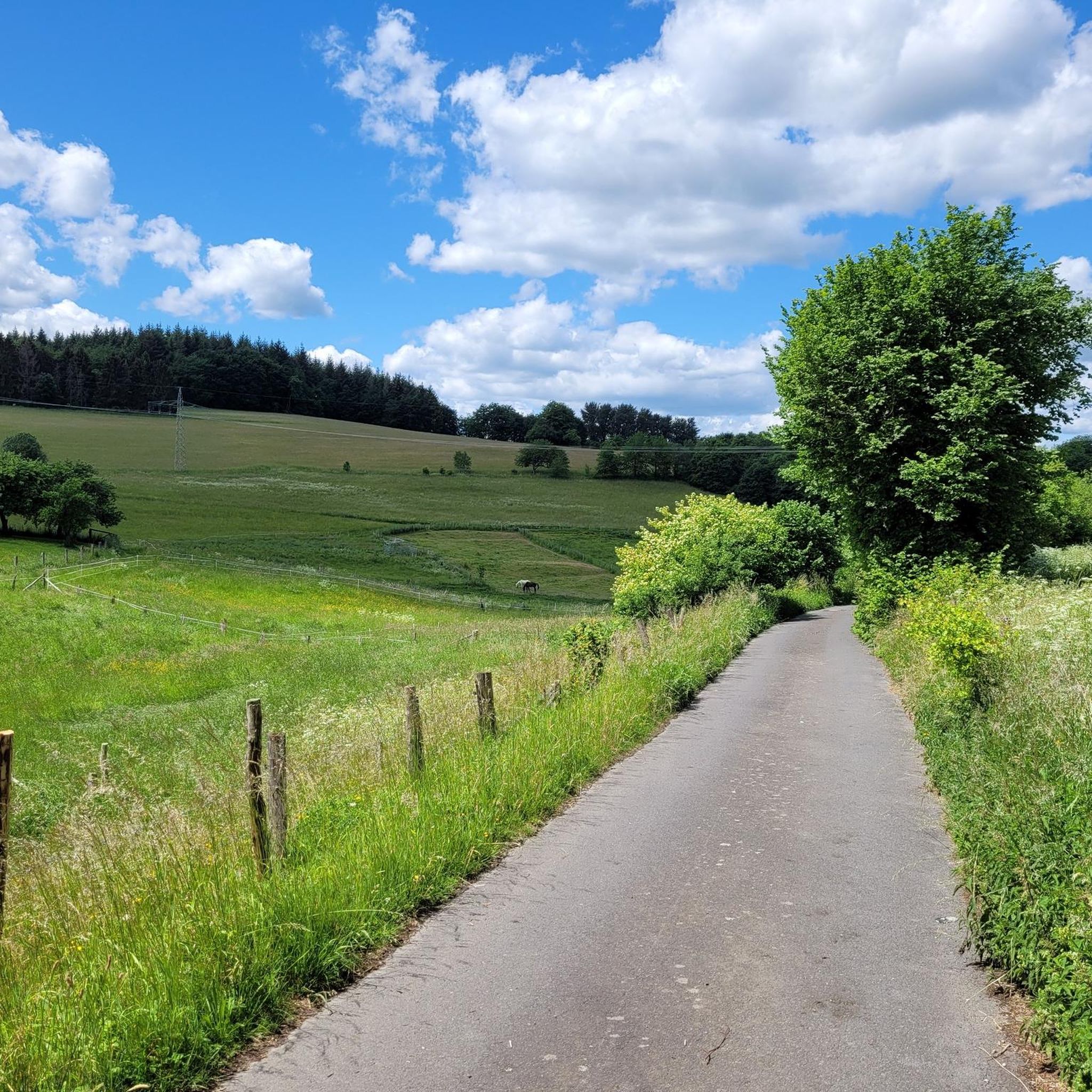
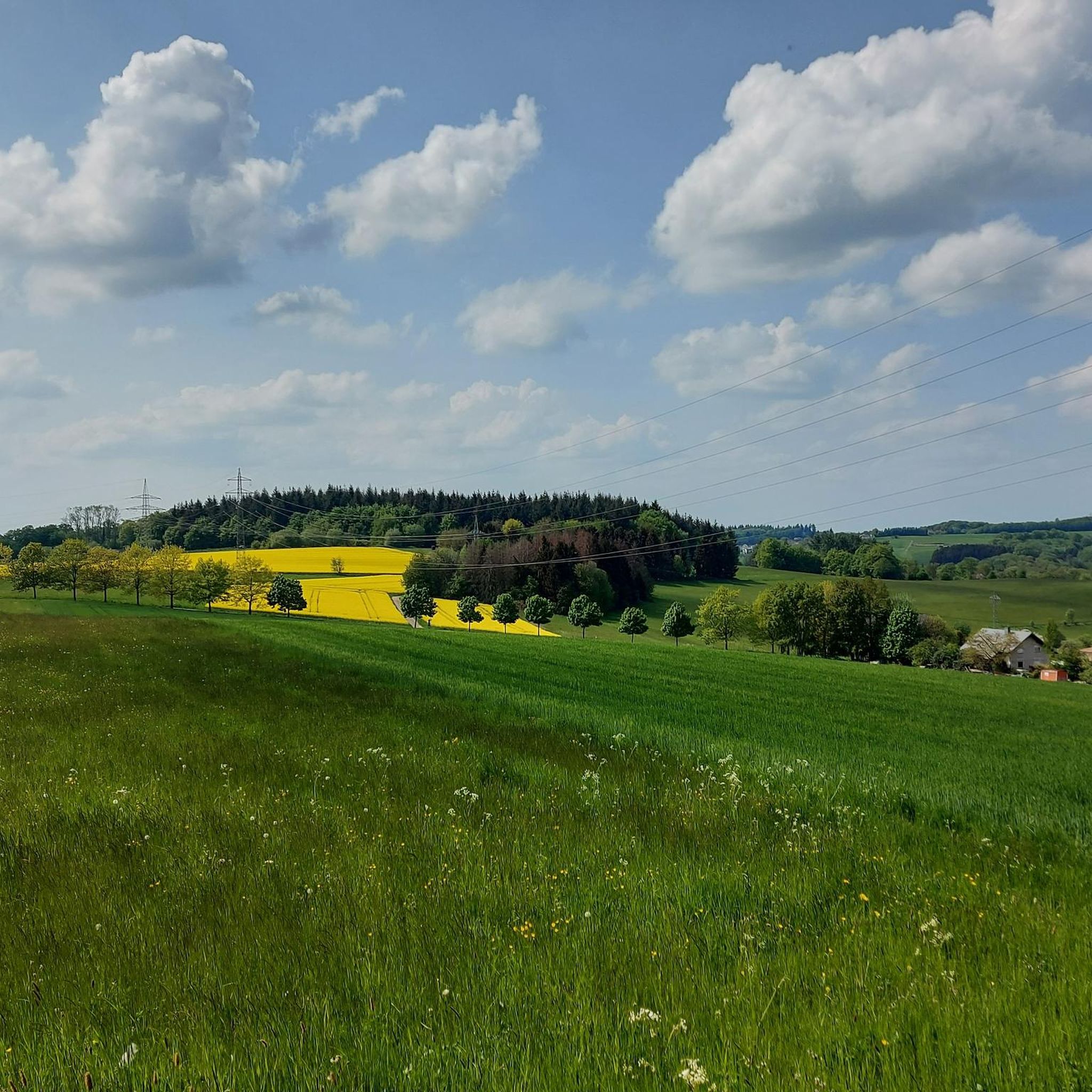
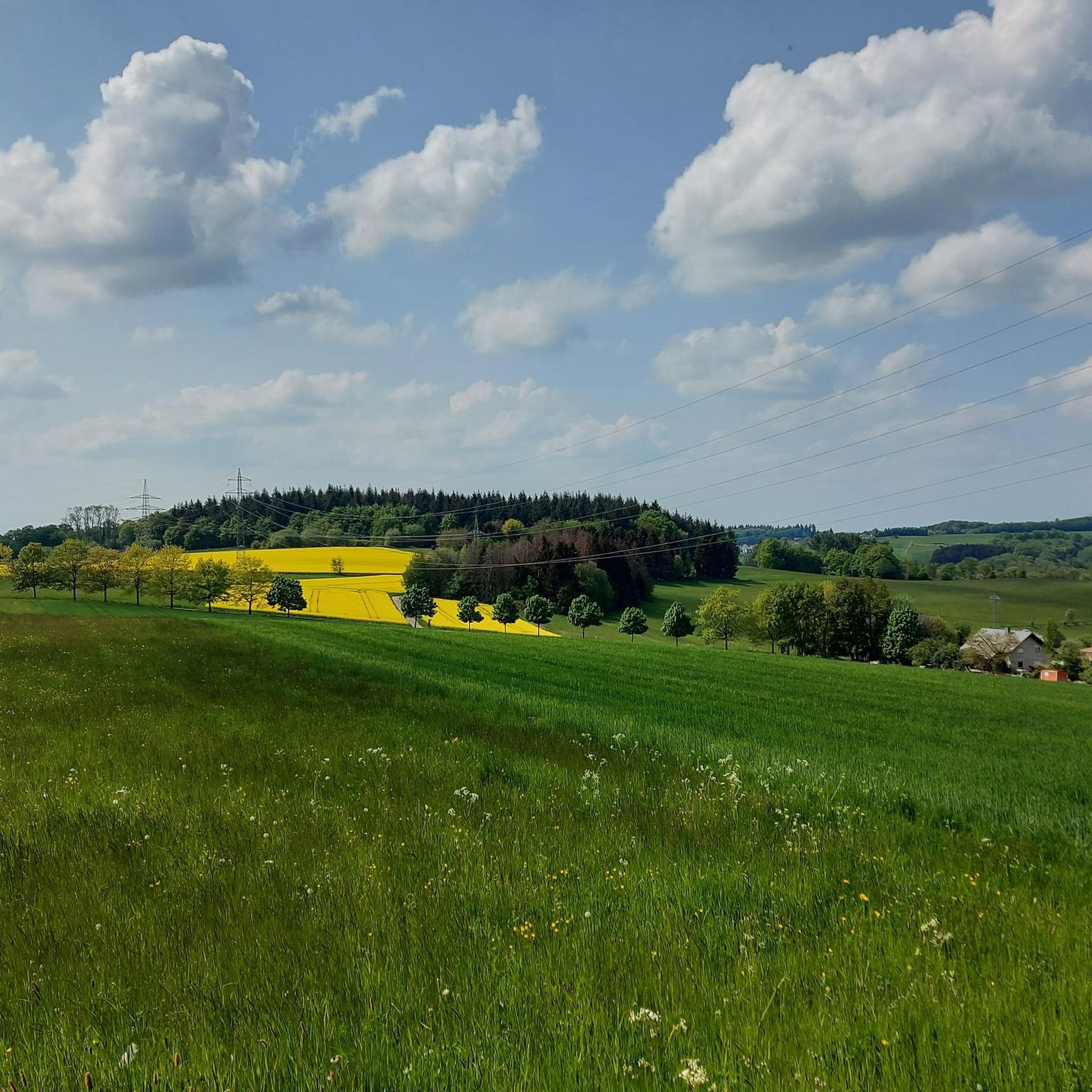
Road cycling routes around Oberhonnefeld-Gierend are set within the southern Westerwald, characterized by rolling hills, expansive meadows, and dense forests. This varied terrain provides a diverse backdrop for road cyclists, offering both leisurely rides and more challenging climbs. The region, including the nearby Wied valley, features majestic forests and splendid panoramas, making it conducive to active exploration on two wheels.
Best road cycling routes around Oberhonnefeld-Gierend
- The most popular road cycling route is Sayntal – Isenburg Castle Ruins loop from…
Last updated: July 5, 2026
4.3
(4)
55
riders
66.2km
03:02
730m
730m
Moderate road ride. Good fitness required. Some segments of this route may be unpaved and difficult to ride.
2.0
(1)
19
riders
34.8km
01:44
520m
520m
Moderate road ride. Good fitness required. Mostly well-paved surfaces and easy to ride.

Sign up for free
12
riders
91.2km
04:07
1,000m
1,000m
Hard road ride. Very good fitness required. Mostly well-paved surfaces and easy to ride.
5.0
(1)
11
riders
44.8km
02:22
840m
840m
Moderate road ride. Good fitness required. Mostly well-paved surfaces and easy to ride.
4.0
(1)
7
riders
75.9km
03:30
870m
870m
Moderate road ride. Good fitness required. Mostly well-paved surfaces and easy to ride.
Get access to more routes and recommendations from other explorers.
Sign up for free
Already have an account?
Our route recommendations are based on thousands of hikes, rides, and runs completed by other people on komoot.
Start today with a free account
Your next adventure awaits.
Login or Signup
Tips from the Community

Anticipation of visiting the castle ruins
0
0

Mill on the Wied, driven by the Laubach
0
0

Unfortunately, there is quite a lot of motorized traffic.
0
0
A great cycle path along the Wied river leads past the monastery.
0
0

A magnificent church building. The interior was also accessible for a short prayer service.
0
0
A beautiful historical ensemble. You can still easily imagine life in prehistoric times here.
0
0

Small parking lot for 2-3 cars and a rest area.
1
0

Old bridges are always an eye-catcher
0
0
Frequently Asked Questions
What kind of terrain can I expect when road cycling around Oberhonnefeld-Gierend?
The region around Oberhonnefeld-Gierend, situated on the southern edge of the Westerwald, is characterized by rolling hills, expansive meadows, and dense forests. You'll find a diverse landscape offering both leisurely rides through nature and more challenging climbs, particularly in areas like the Wied valley and Rengsdorf, which are known for their splendid panoramas and varied elevation.
Are there road cycling routes suitable for beginners or those seeking an easier ride?
Yes, among the nearly 100 road cycling routes in the area, 13 are classified as easy. These routes typically feature less elevation gain and shorter distances, making them ideal for beginners or those looking for a more relaxed experience. The overall terrain of rolling hills allows for varied cycling, including gentler options.
What are some notable natural features or landmarks I can see along the road cycling routes?
Road cycling routes in the area often pass through scenic natural landscapes and historical sites. You might encounter the picturesque Wied valley, or pass by the Laubach Waterfall, an idyllic spot for a break. Historical points of interest include the Covered wooden bridge over the Wied near Laubachsmühle and the Bärenkopp summit cross, offering views of Waldbreitbach. The Malberg Summit is another prominent natural landmark.
Are there any challenging road cycling routes for experienced riders?
Absolutely. The region offers 21 routes classified as difficult, featuring significant elevation gains and longer distances. For example, the Wied Bridge in Datzeroth – Burg Ehrenstein Ruins loop from Krunkel is a challenging 56.7-mile (91.3 km) trail with nearly 1,000 meters of ascent, leading through the Wied valley and past historical ruins.
What do other road cyclists say about the routes in Oberhonnefeld-Gierend?
The road cycling routes around Oberhonnefeld-Gierend are highly rated by the komoot community, with an average score of 4.7 stars from over 140 reviews. Cyclists often praise the diverse terrain, from rolling hills to dense forests and river valleys, and the well-maintained paths that offer both scenic beauty and engaging challenges.
Are there circular road cycling routes available?
Yes, many of the road cycling routes in Oberhonnefeld-Gierend are designed as loops, allowing you to start and end at the same point. An example is the popular Sayntal – Isenburg Castle Ruins loop from Oberhonnefeld, which is a 41.1-mile (66.2 km) trail exploring the scenic Sayntal and passing historical castle ruins.
Can I find routes that offer scenic viewpoints?
Yes, the region's rolling hills and elevated areas provide numerous opportunities for scenic viewpoints. Routes often feature sections with splendid panoramas, especially in the Wied valley and areas with significant climbs. The View from Bertenauer Kopf Shelter and Viewpoint Almblick are specific highlights known for their vistas.
What is the best time of year for road cycling in Oberhonnefeld-Gierend?
The diverse landscape of Oberhonnefeld-Gierend is enjoyable throughout much of the year. Spring and autumn offer pleasant temperatures and beautiful scenery with blooming nature or vibrant fall foliage. Summer is also suitable, though some climbs might be more strenuous in warmer weather. Winter cycling is possible, but conditions can vary, so checking local weather is always recommended.
Are there any long-distance road cycling options in the area?
While many routes are designed for day trips, the broader Rhineland-Palatinate region, where Oberhonnefeld-Gierend is located, is known for its long-distance cycling trails through scenic river valleys. Within the immediate area, routes like the Wiedtal Serpentines – Wied Bridge in Datzeroth loop from Willroth, at 75.1 miles (121 km), offer a substantial distance for a longer ride.
Where can I find parking for road cycling routes in Oberhonnefeld-Gierend?
Many road cycling routes in the area start from villages or towns like Oberhonnefeld, Krunkel, or Horhausen, where public parking facilities are typically available. It's advisable to check specific route descriptions on komoot for recommended starting points and parking information, as options can vary by trailhead.
Are there any historical sites or cultural attractions along the road cycling routes?
Yes, the region has a rich history that can be explored by bike. You can find remnants of the area's historical mining past, such as the "Grube Georg" winding tower, or visit historical sites like the Burg Ehrenstein Ruins and Monastery. The Sayntal – Isenburg Castle Ruins loop from Oberhonnefeld also passes by significant historical castle ruins.
Most popular routes around Oberhonnefeld-Gierend
Most popular attractions around Oberhonnefeld-Gierend

Get inspired with the komoot mobile app


Explore more
Browse the best Road cycling routes in other regions.
