The best MTB trails around Obergerlafingen
4.5
(951)
5,248
riders
365
rides
Mountain biking around Obergerlafingen, located in the Swiss canton of Solothurn, offers diverse terrain for cyclists. The region is characterized by extensive forests, significant agricultural land, and its position between the Emme and Oesch rivers. This landscape provides a mix of shaded trails and open routes, with the nearby Aare River adding to the natural features.
Best mountain bike trails around Obergerlafingen
- The most popular mountain bike trail is Bridge Over the Emme – Dead End at the Emme River…
Last updated: June 28, 2026
5.0
(24)
21
riders
17.3km
01:14
100m
100m
Hard mountain bike ride. Great for any fitness level. Advanced riding skills necessary. Some portions of the route may require you to push your bike.
4.3
(3)
14
riders
47.8km
03:34
700m
700m
Moderate mountain bike ride. Good fitness required. Suitable for all skill levels.

Sign up for free
4.6
(10)
12
riders
29.9km
01:53
260m
260m
Easy mountain bike ride. Great for any fitness level. Suitable for all skill levels.
5.0
(16)
9
riders
Easy mountain bike ride. Great for any fitness level. Suitable for all skill levels.
7
riders
37.8km
02:46
680m
680m
Moderate mountain bike ride. Good fitness required. Advanced riding skills necessary.
Get access to more routes and recommendations from other explorers.
Sign up for free
Already have an account?
Our route recommendations are based on thousands of hikes, rides, and runs completed by other people on komoot.
Start today with a free account
Your next adventure awaits.
Login or Signup
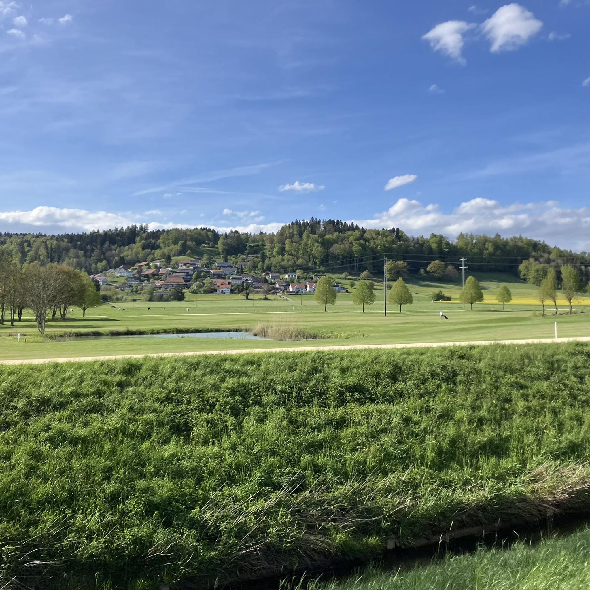
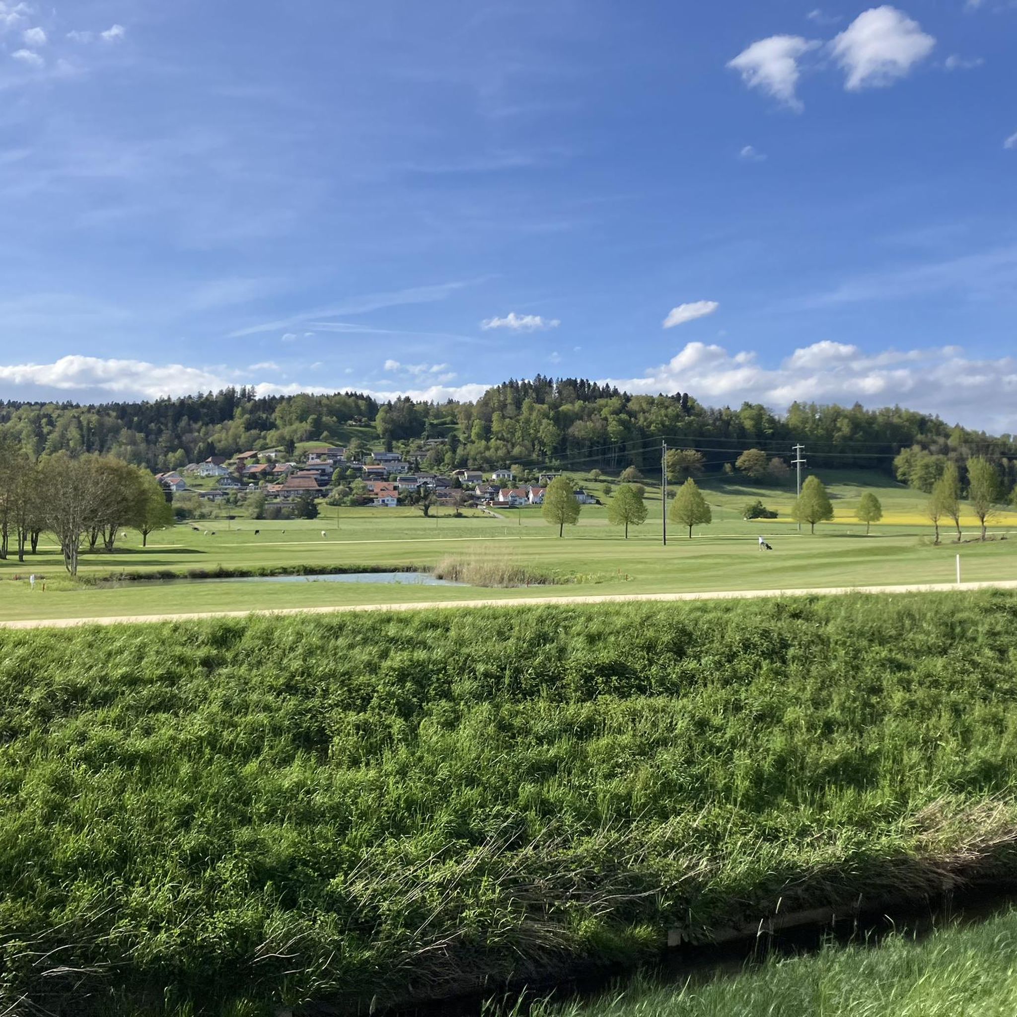
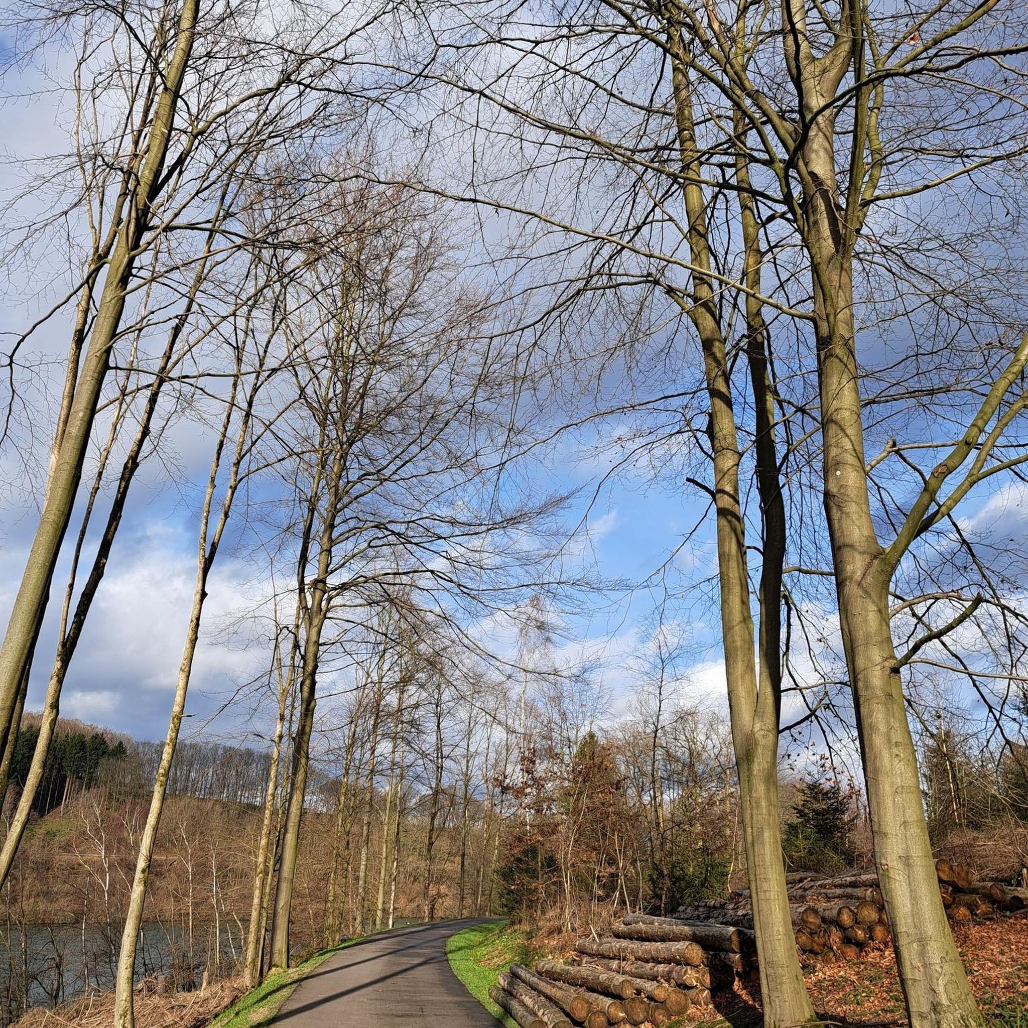
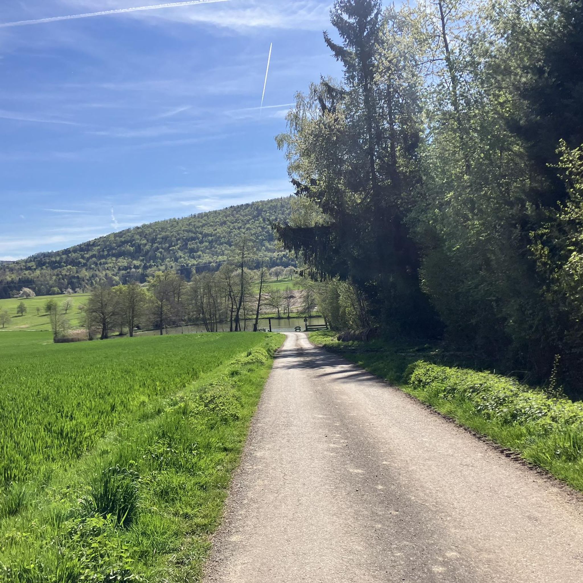

Tips from the Community

The view from the beggar's kitchen is simply fantastic.
0
0

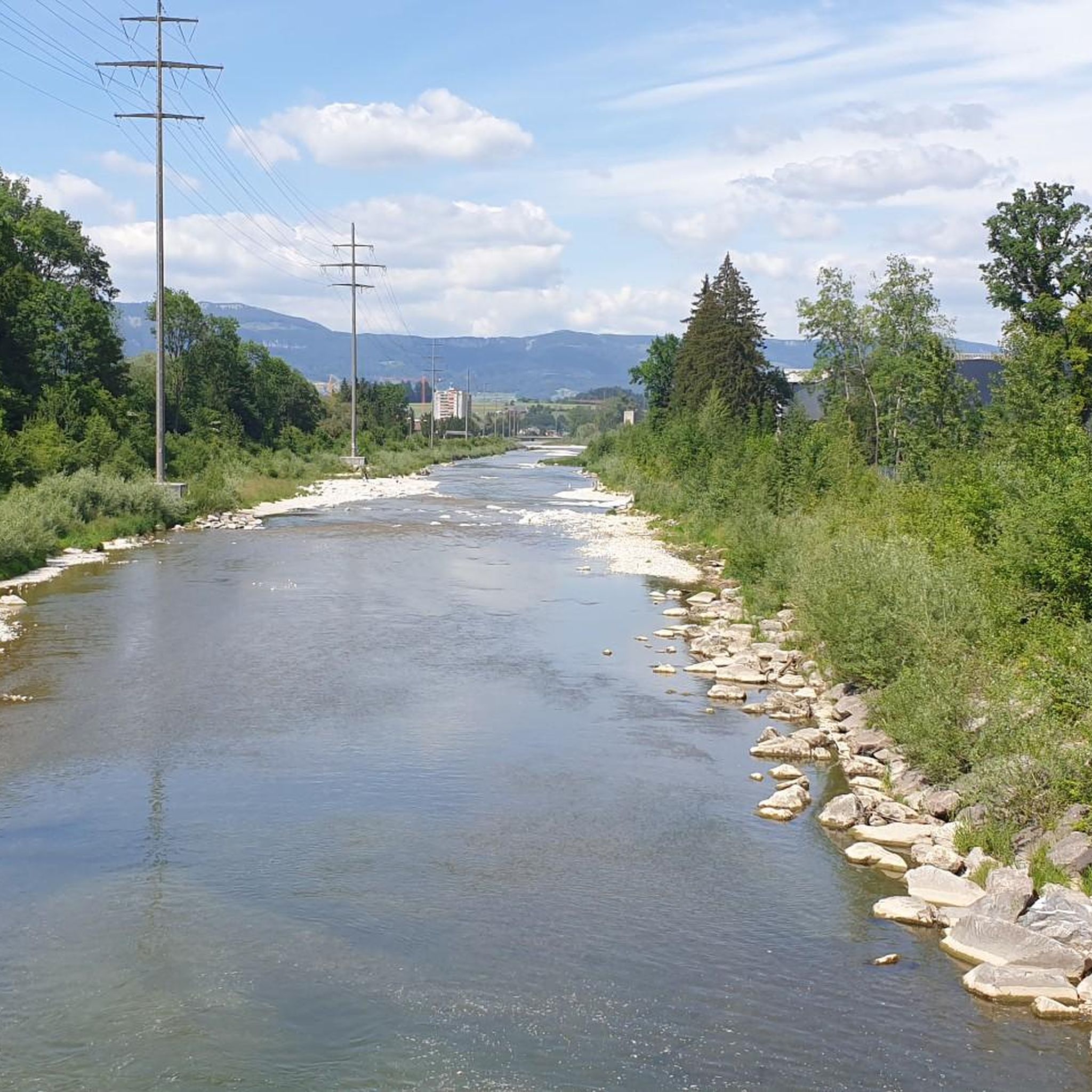
A very beautiful route, practically all along the Emme.
0
0

In summer, with a lovely little pub, you can leave the hustle and bustle of everyday life behind you, immerse yourself in Gotthelf's times and feel like "Ueli" or "Vreneli" for a moment. If you feel like it, you might even find the "Joggeli" in the chicken coop 😉
1
0

Beautiful view of the Alps in clear weather
1
0

Beautiful small church located on a hill in Seeberg.
1
0
Beautiful small church situated on a hill in Seeberg.
0
0

Nice MTB or gravel path. Stop at the power plant, opposite there is a beautiful, small lake
0
0

All-round view of the Jura and Bernese Alps
0
0
Frequently Asked Questions
How many mountain bike trails are available around Obergerlafingen?
There are over 370 mountain bike trails in the Obergerlafingen region. These routes cater to various skill levels, with 75 easy, 223 moderate, and 78 difficult trails available for exploration.
What kind of terrain can I expect on mountain bike trails around Obergerlafingen?
The Obergerlafingen region offers diverse terrain, characterized by extensive forests, significant agricultural land, and its position between the Emme and Oesch rivers. You'll find a mix of shaded forest trails and open routes through meadows and agricultural areas, with the tranquil Aare River also contributing to the natural features.
Are there any loop trails for mountain biking in Obergerlafingen?
Yes, many mountain bike trails in Obergerlafingen are designed as loops, offering convenient starting and ending points. For example, you could try the Oberbühlchnubel – Mösli Bar loop from Gerlafingen, a moderate 47 km route with varied terrain, or the easier View of the Emme River – Bridge Over the Emme loop from Zielebach.
What do other mountain bikers say about the trails in Obergerlafingen?
The mountain bike trails around Obergerlafingen are highly regarded by the komoot community, holding an average rating of 4.5 stars from over 900 reviews. More than 5,000 mountain bikers have used komoot to explore the varied terrain, often praising the scenic routes through forests and along rivers.
What natural landmarks can I see while mountain biking near Obergerlafingen?
The region offers several natural highlights. You can explore the Verenaschlucht and Hermitage, visit the Emmenspitz – Confluence of the Emme and Aare, or enjoy the serene Lake Burgäschi. The nearby Naturpark Thal also provides opportunities to discover local flora and fauna.
Are there any historical sites or castles to explore near the trails?
Yes, there are several historical sites and castles nearby. You could visit the Waldegg Castle, the Buchegg Castle, or the Landshut Castle. The historic town of Solothurn, with its baroque old town and St. Ursen Cathedral, is also just a few kilometers away.
Is there parking available for mountain bikers in Obergerlafingen?
While specific dedicated mountain bike parking areas are not detailed, Obergerlafingen, as a municipality, generally offers public parking options. It's advisable to check local signage or municipal websites for the most current information on parking facilities near trailheads.
Can I reach Obergerlafingen by public transport for mountain biking?
Obergerlafingen is part of the Swiss public transport network. You can typically reach the area by train and bus, which allows for convenient access to the region's trails. We recommend checking the SBB (Swiss Federal Railways) website for detailed schedules and connections to Obergerlafingen.
Are permits required for mountain biking in Obergerlafingen?
Generally, no specific permits are required for mountain biking on designated trails in the Obergerlafingen area. However, always respect local regulations, private property, and any signage indicating restricted access or specific rules for certain paths, especially within protected natural areas.
Are there family-friendly mountain bike trails in Obergerlafingen?
Yes, Obergerlafingen offers a selection of easy and moderate trails suitable for families. Routes that follow the riverbanks or traverse agricultural land often have less challenging gradients. An example of an easier route is the Rest area at the Ösch – Steinberg Trail loop from Recherswil, which is 30 km long and relatively flat.
Are mountain bike trails in Obergerlafingen dog-friendly?
Many trails in the Obergerlafingen region are suitable for dogs, especially those through forests and along rivers. However, it's crucial to keep dogs on a leash, particularly in agricultural areas, near livestock, or in nature reserves. Always carry water for your dog and clean up after them.
What is the best time of year for mountain biking in Obergerlafingen?
The best time for mountain biking in Obergerlafingen is typically from spring through autumn (April to October). During these months, the weather is generally mild, and trails are dry. While winter riding is possible, some trails might be muddy or covered in snow, especially in forested areas.
Are there cafes or places to eat near the mountain bike trails in Obergerlafingen?
Obergerlafingen and its surrounding villages offer various cafes and restaurants where you can refuel after your ride. While specific trailside cafes are not listed, you'll find options in the main settlements. The tranquil banks of the Aare River also provide excellent spots for a picnic.
Most popular routes around Obergerlafingen
Most popular attractions around Obergerlafingen

Get inspired with the komoot mobile app


Explore more
Browse the best MTB trails in other regions.
