The best walks and hikes around Niedertaufkirchen
4.6
(1034)
5,175
hikers
540
hikes
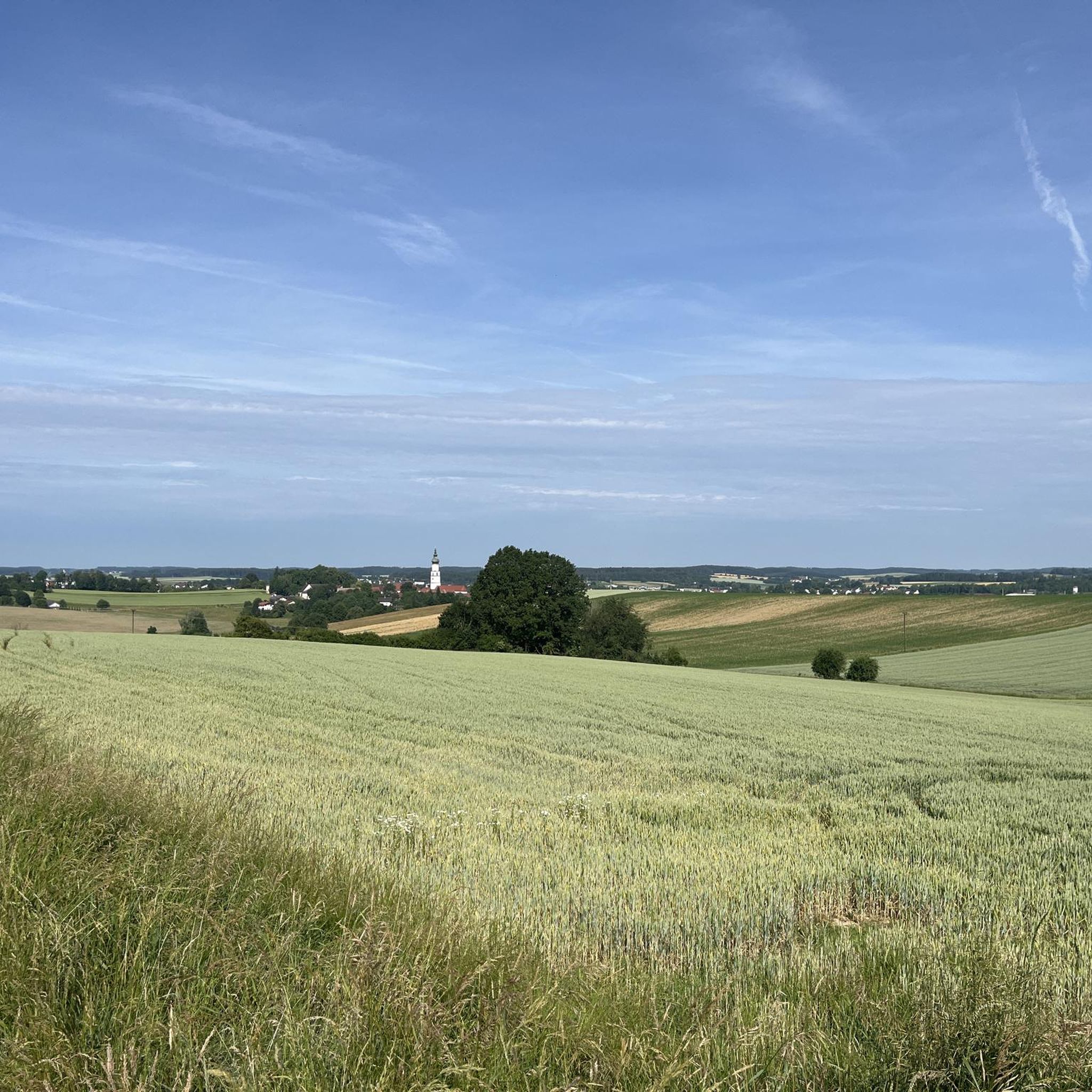
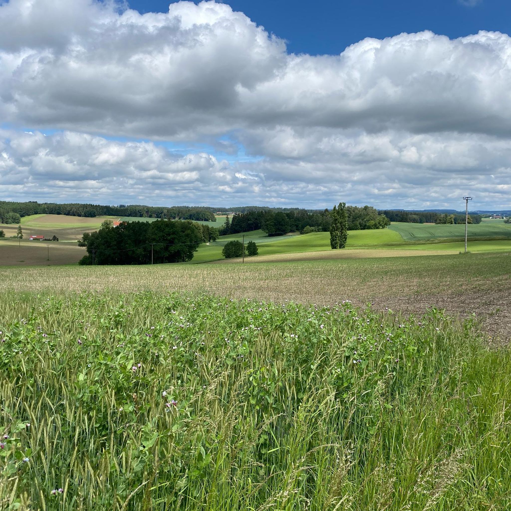
Hiking around Niedertaufkirchen offers varied terrain within the Mühldorf am Inn district of Bavaria. The region is characterized by rolling hills, green forests, and tranquil lakes, situated within the Alpine foothills. These natural features provide diverse environments for exploration, including the Taufkirchener See lake and the broader Rottal Hills.
Best hiking trails around Niedertaufkirchen
- The most popular hiking route is View of Hellsberg – Massing Open-Air Museum loop from Kreuzöd, a 4.6 miles (7.4 km) trail that takes 1…
Last updated: September 3, 2026
4.0
(1)
23
hikers
Easy hike. Great for any fitness level. Easily-accessible paths. Suitable for all skill levels.
5.0
(5)
14
hikers
5.77km
01:33
70m
70m
Easy hike. Great for any fitness level. Easily-accessible paths. Suitable for all skill levels.

Sign up for free
5.0
(1)
7
hikers
2.39km
00:38
20m
20m
Easy hike. Great for any fitness level. Easily-accessible paths. Suitable for all skill levels.
5.0
(1)
14
hikers
13.4km
03:40
210m
210m
Moderate hike. Good fitness required. Easily-accessible paths. Suitable for all skill levels.
5.0
(1)
9
hikers
3.59km
00:58
50m
50m
Easy hike. Great for any fitness level. Easily-accessible paths. Suitable for all skill levels.
Get access to more routes and recommendations from other explorers.
Sign up for free
Already have an account?
Our route recommendations are based on thousands of hikes, rides, and runs completed by other people on komoot.
Start today with a free account
Your next adventure awaits.
Login or Signup
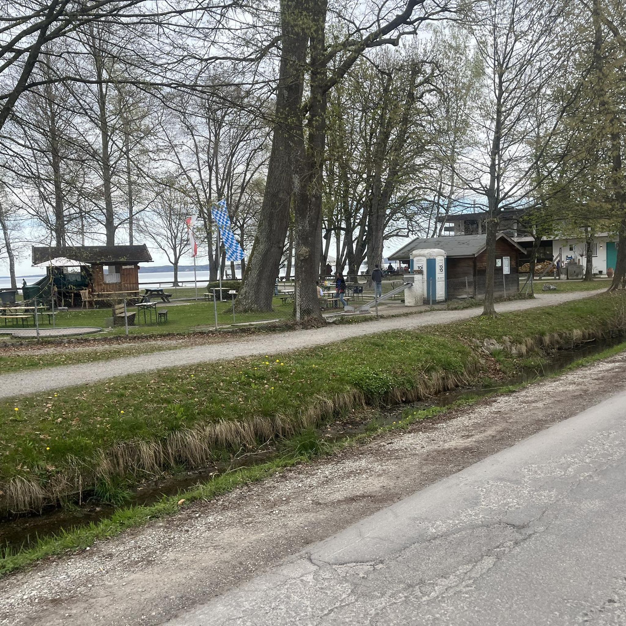
Tips from the Community

A great place to look and rest
0
0

A beautiful pilgrimage route with a viewpoint.
0
0
At the Gasthof Söll you can eat well and stay overnight.
0
0

Beautiful excursion destination - Museum and Museumsstüberl
0
0
Beautifully designed square in Massing
0
0
Not only the museum - also the museum parlor is worthwhile
1
0

Always worth seeing. I'd love to go back.
0
0

The city gates form the entrance to the town square in Neumarkt-Sankt Veit. It's hard to imagine that trucks had to pass through here before the bypass.
4
0
Frequently Asked Questions
What kind of terrain and difficulty can I expect on hikes around Niedertaufkirchen?
The hiking trails around Niedertaufkirchen are characterized by rolling hills, green forests, and tranquil lakes, situated within the picturesque Alpine foothills of Bavaria. You'll find a good mix of routes: there are over 330 easy trails, 198 moderate routes, and a few more challenging options for experienced hikers.
Are there easy hiking trails suitable for beginners or families in Niedertaufkirchen?
Yes, Niedertaufkirchen offers many easy hiking trails perfect for beginners and families. For example, the View of Niedertaufkirchen loop from Niedertaufkirchen is an easy 3.6 km path that provides scenic views without significant elevation changes. The region has over 330 easy tours in total.
Are there any notable landmarks or natural features to see while hiking in Niedertaufkirchen?
Absolutely. The region is rich in natural beauty and historical sites. You can explore the serene Taufkirchener See lake, or discover cultural highlights like the Frauenbühl Castle. Many trails also pass through charming Bavarian villages and offer views of the Rottal Hills.
What do other hikers enjoy most about hiking in Niedertaufkirchen?
The komoot community highly rates the hiking experience in Niedertaufkirchen, with an average score of 4.6 stars from over 900 reviews. Hikers often praise the varied terrain, the peaceful forests, and the well-maintained paths that lead to beautiful viewpoints and tranquil lakes.
Are there any circular hiking routes available in Niedertaufkirchen?
Yes, many of the trails in Niedertaufkirchen are designed as circular routes, allowing you to start and end at the same point. A popular option is the Klause Engfurt – Stations of the Cross Trail loop from Güntering, a moderate 13.4 km route that offers a diverse experience.
Can I combine hiking with cultural exploration in Niedertaufkirchen?
Yes, hiking in Niedertaufkirchen can be wonderfully combined with cultural exploration. The region is known for its historical churches and chapels. The Issmaier Chapel – Sankt Veit Monastery loop from Neumarkt-Sankt Veit is an excellent example, connecting historical sites through the countryside.
What are some of the historical castles or significant buildings I can see near Niedertaufkirchen?
Beyond the trails, the area boasts several historical structures. You can visit the impressive Frauenbühl Castle, the Teising Moated Castle, or the Haunzenbergersöll Castle, all offering a glimpse into the region's rich past.
Are there any river or water features to explore while hiking?
The region is characterized by tranquil lakes and rivers. The Taufkirchener See lake is a serene spot for relaxation, and you might encounter the Isen Rapids or the Rott river valley on some routes, offering picturesque waterside views.
Is parking generally available at trailheads in Niedertaufkirchen?
While specific parking locations are not detailed for every trailhead, Niedertaufkirchen is a rural Bavarian village, and it is generally possible to find parking near popular starting points for hikes. We recommend checking local signage or using komoot's route planner for specific parking suggestions for your chosen tour.
What is the best time of year to go hiking in Niedertaufkirchen?
Niedertaufkirchen offers outdoor activities year-round. Spring and autumn provide pleasant temperatures and vibrant scenery, ideal for hiking. Summer is great for combining hikes with swimming in local lakes, while winter offers opportunities for snow activities, making it a versatile destination.
Are there options for longer, more extensive hiking tours in the area?
Yes, while many routes are shorter, the region is part of larger networks. The 'Gothic Tour West Hiking,' for instance, is a more extensive route spanning 123.9 km, designed for those seeking a multi-day cultural and hiking experience through the area's historical churches and chapels.
Most popular routes around Niedertaufkirchen
Most popular attractions around Niedertaufkirchen

Get inspired with the komoot mobile app


Explore more
Browse the best Hikes in other regions.
