The best walks and hikes around Niederstadtfeld
4.4
(1027)
2,960
hikers
20
hikes
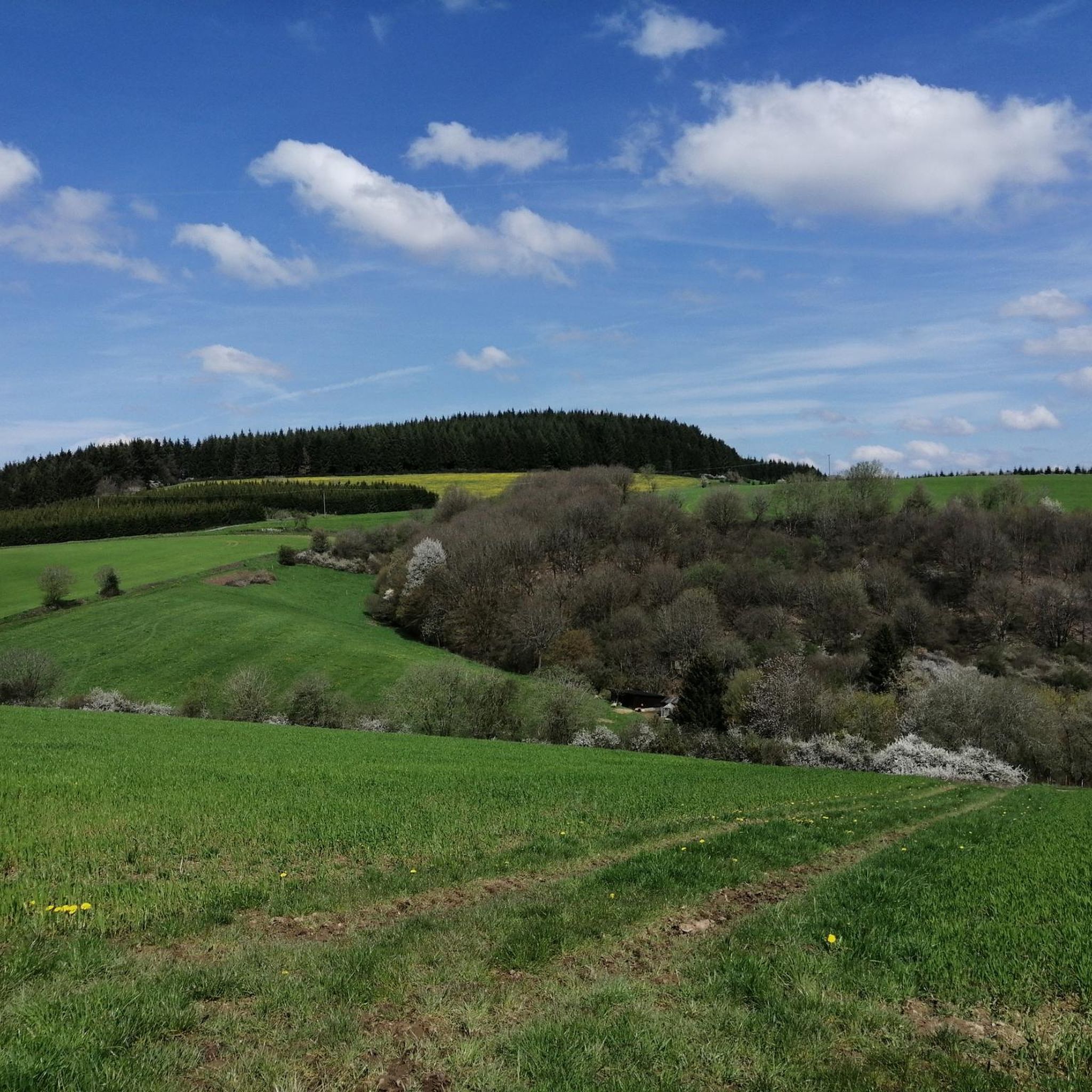
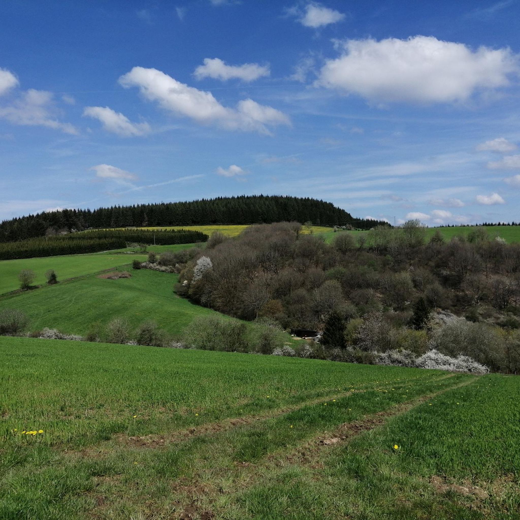
Hiking around Niederstadtfeld offers diverse experiences within the Vulkaneifel region, characterized by its unique volcanic landscapes. The terrain features distinctive maars (volcanic lakes), such as the Gemünden Maar and Schalkenmehrener Maar, alongside spruce and oak forests. Hikers can expect to traverse romantic valleys and follow small streams, with varied elevation changes across the network of trails.
Best hiking trails around Niederstadtfeld
- The most popular hiking route is HeimatSpur 1000-jähriger Weg – GesundLand Vulkaneifel, a 9.3 miles (14.9 km) trail…
Last updated: October 13, 2026
4.4
(38)
93
hikers
14.9km
04:11
300m
300m
Moderate hike. Good fitness required. Easily-accessible paths. Suitable for all skill levels.
4.7
(11)
16
hikers
11.2km
03:10
240m
240m
Moderate hike. Good fitness required. Easily-accessible paths. Suitable for all skill levels.

5.0
(1)
3
hikers
12.8km
03:37
260m
260m
Moderate hike. Good fitness required. Easily-accessible paths. Suitable for all skill levels.
3.0
(1)
8
hikers
12.8km
03:33
220m
220m
Moderate hike. Good fitness required. Easily-accessible paths. Suitable for all skill levels.
4.0
(3)
8
hikers
Moderate hike. Good fitness required. Easily-accessible paths. Suitable for all skill levels.
Get access to more routes and recommendations from other explorers.
Already have an account?
Our route recommendations are based on thousands of hikes, rides, and runs completed by other people on komoot.
Start today with a free account
Your next adventure awaits.
Popular around Niederstadtfeld

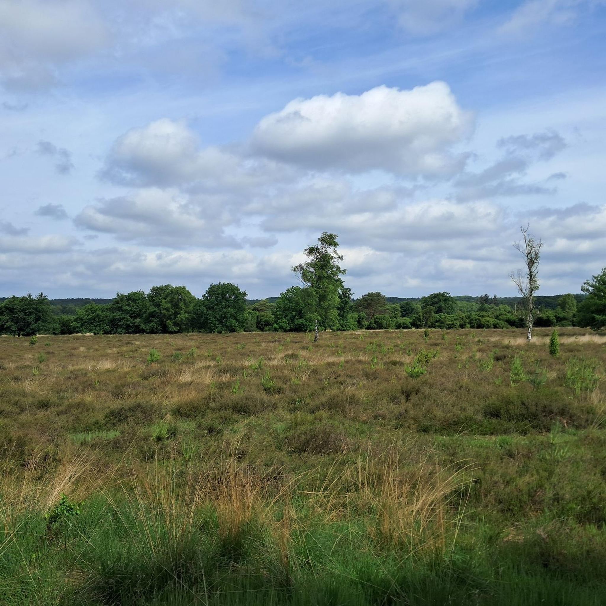
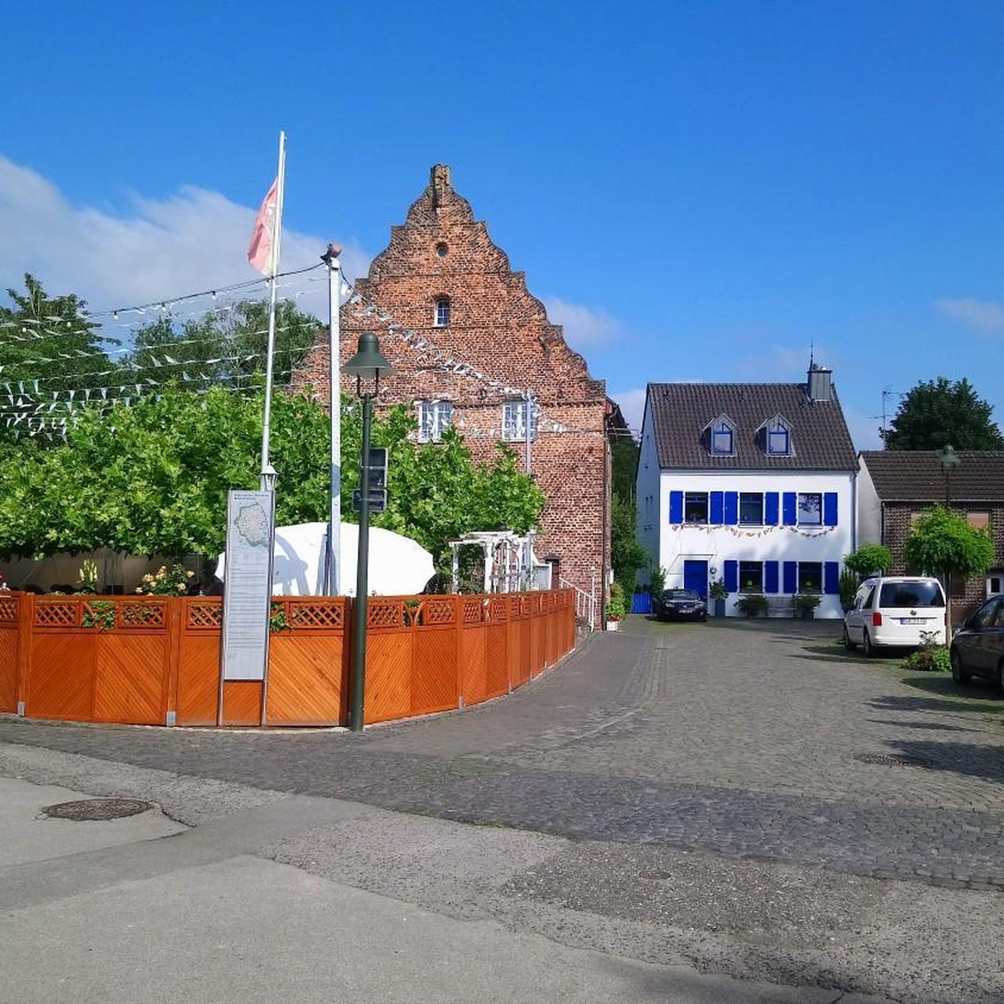
Other adventures around Niederstadtfeld

Tips from the Community

Unfortunately, it is always on country roads.
0
0

Nice opportunity for a break
1
0

A nice place to take a breather.
0
0

My grandfather had the Manstein Bridge built so that the grain wagons could get through the forest to the mills better and safer! 😉 Claudia Manstein
0
0

For the river Kleine Kyll see e.g. https://de.m.wikipedia.org/wiki/Kleine_Kyll#:~:text=Die%20Kleine%20Kyll%20(pronounced%3A%20%E2%80%9E,but%20nichte% 20geographic%20connection%20has.
0
0

Be sure to taste the water.
0
1
Cool if you know the sun in Daum.
0
0

After launching from the "Sun", Uranus' station is 5.7 km from the Sun - at least on the cosmos cycle path, where the distances between the stations are on a scale of 1:500 million in relation to the actual distances of the planets are laid out in space. There is also a nice rest area with a shelter, relaxation lounger and a water source. There is also a beautiful nature trail not far from here. Anyone who has made it this far can be sure: from here it will be really easy. But for today's e-bikers, that doesn't matter too much anymore 😉
0
0
Frequently Asked Questions
What kind of terrain can I expect on hikes around Niederstadtfeld?
The Vulkaneifel region around Niederstadtfeld is characterized by its unique volcanic landscapes. You'll encounter distinctive maars (volcanic lakes), such as the Gemünden Maar and Schalkenmehrener Maar, alongside spruce and oak forests. Hikers can expect to traverse romantic valleys and follow small streams, with varied elevation changes across the network of trails. The HeimatSpur 1000-jähriger Weg, for instance, explores historical landscapes with moderate elevation, while the Bench Under Rock Formation – Mansteins Bridge loop features notable rock formations.
Are there any easy hiking trails suitable for beginners or casual walkers?
Yes, Niederstadtfeld offers several easy trails. For a shorter, more relaxed walk, consider the View of Niederstadtfeld loop from Niederstadtfeld, which is about 3 miles (4.8 km) long and provides panoramic views of the Eifel landscape. Another option is the Hiking loop from Niederstadtfeld, an easy 3.7-mile (5.9 km) route.
What are some notable natural attractions or landmarks to see while hiking?
The region is rich in natural beauty and historical significance. You can explore the unique volcanic maars, such as the Schalkenmehrener Maar, known for its scenic circular path, or enjoy views of the Gemünden Maar. The Lieser Valley offers diverse scenery, and you might encounter the Whirlpools of the Kleine Kyll. For panoramic views, the Dronke Tower on the Mäuseberg is a popular viewpoint.
Are there any circular hiking routes available?
Many of the trails around Niederstadtfeld are designed as circular routes, allowing you to start and end in the same location. Examples include the Bench Under Rock Formation – Mansteins Bridge loop and the View of Niederstadtfeld loop. The MaareGlück circular route also connects several maars in the wider Vulkaneifel area.
What is the best time of year to go hiking in Niederstadtfeld?
Niederstadtfeld is a great hiking destination throughout much of the year. Spring brings lush greenery and blooming wildflowers, while autumn offers vibrant fall foliage. Summer is ideal for enjoying the maars, with opportunities for swimming at Gemünden Maar. Even winter can be beautiful, with snow-covered volcanic landscapes, though some trails might be more challenging.
Are there any family-friendly hiking options in Niederstadtfeld?
Yes, the region offers trails suitable for families. The easy View of Niederstadtfeld loop is a good option for a shorter outing. The wider Vulkaneifel area also features themed trails like the family-friendly Elfengrotte walking trail and the Achterhöhe adventure trail, which provide engaging experiences for children.
Can I bring my dog on the hiking trails?
Generally, dogs are welcome on most hiking trails in the Niederstadtfeld area. It's always recommended to keep your dog on a leash, especially in nature reserves, near livestock, or in areas with wildlife. Please ensure you clean up after your pet to maintain the natural beauty of the trails for everyone.
What do other hikers enjoy most about hiking in Niederstadtfeld?
The hiking routes in Niederstadtfeld are highly rated by the komoot community, with an average score of 4.4 stars from over 800 reviews. Hikers often praise the diverse volcanic landscapes, the serene beauty of the maars, and the well-maintained network of trails that cater to various difficulty levels. Many appreciate the blend of natural beauty with historical and cultural points of interest.
Are there options for longer, more challenging hikes?
For those seeking a more challenging experience, the tenth stage of the renowned Eifelsteig trail passes through the area, leading from Gerolstein to Daun. This route offers a moderate to difficult experience with significant elevation gains. The Great Spruce loop from Niederstadtfeld is another moderate option, covering over 12.8 km.
Is there public transport access to the hiking areas, or is parking available?
While specific public transport details for individual trailheads can vary, the Vulkaneifel region generally has some bus connections. However, for maximum flexibility, driving is often preferred. Parking is typically available at trailheads and near popular attractions like the maars. For example, the Weinfelder Maar is accessible from a car park above.
Are there any places to stop for refreshments or food along the trails?
Yes, depending on the specific route, you may find opportunities for refreshments. The Gemünden Maar, for instance, features a forest café. In the wider Vulkaneifel region, many villages and towns along popular routes offer guesthouses, restaurants, and cafes where you can take a break and enjoy local cuisine.
Most popular routes around Niederstadtfeld
Most popular attractions around Niederstadtfeld

Get inspired with the komoot mobile app


Explore more
Browse the best Hikes in other regions.
