The best walks and hikes around Niederöfflingen
4.6
(15642)
53,848
hikers
827
hikes
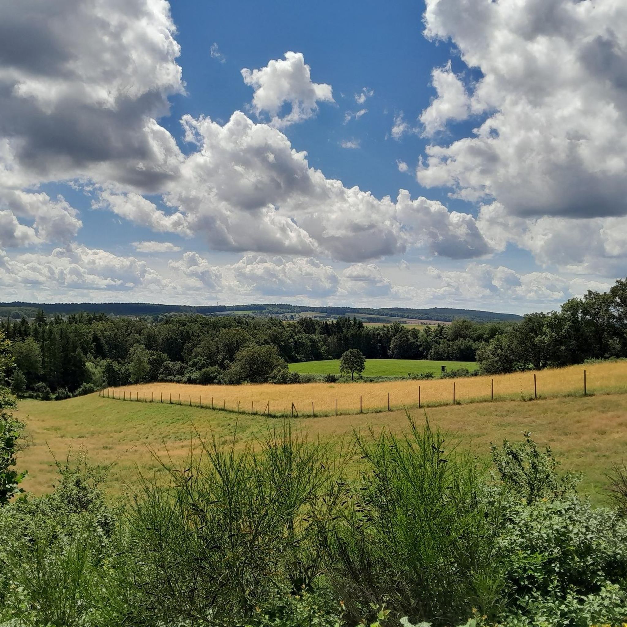
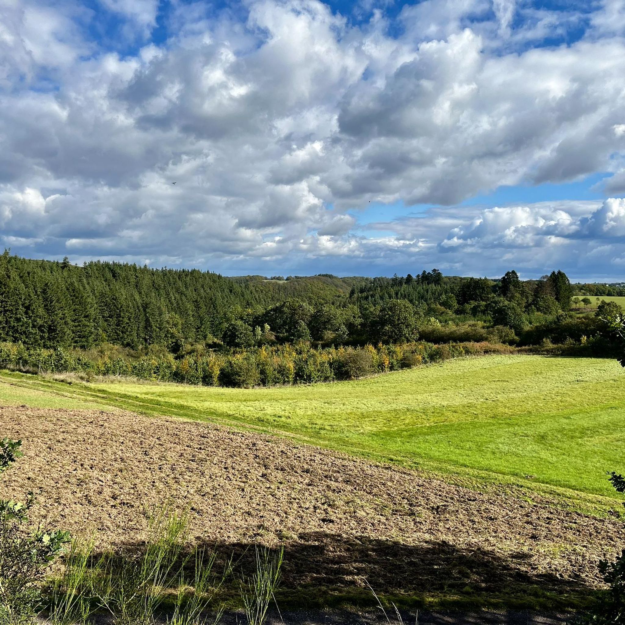
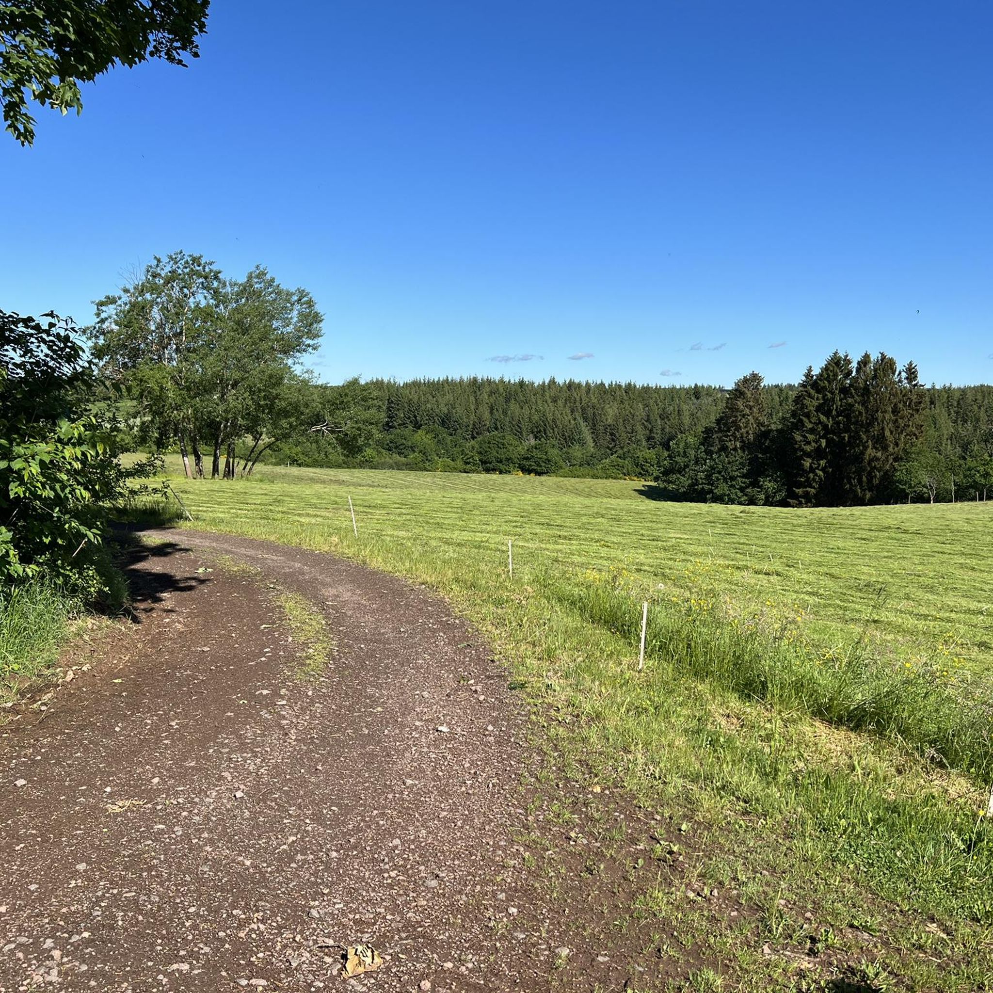
Hiking trails around Niederöfflingen are characterized by the distinctive volcanic Eifel landscape, featuring rolling hills and dense forests. The region's geological past has sculpted varied terrain, including river valleys like the Lieser, which offer diverse hiking experiences. Hikers can explore paths that meander through woodlands and past unique rock formations, providing a range of natural features.
Best hiking trails around Niederöfflingen
- The most popular hiking route is 2 Bäche-Pfad (Rundtour: Hasborn, Ober- und Niederscheidweiler), an 8.8 miles (14.1 km)…
Last updated: June 30, 2026
4.8
(149)
415
hikers
14.1km
04:01
300m
300m
Moderate hike. Good fitness required. Mostly accessible paths. Sure-footedness required.
4.8
(149)
415
hikers
14.1km
04:02
320m
320m
Moderate hike. Good fitness required. Mostly accessible paths. Sure-footedness required.

Sign up for free
4.6
(13)
38
hikers
5.58km
01:34
110m
110m
Easy hike. Great for any fitness level. Easily-accessible paths. Suitable for all skill levels.
4.4
(10)
29
hikers
8.71km
02:30
210m
210m
Moderate hike. Good fitness required. Easily-accessible paths. Suitable for all skill levels.
4.5
(2)
21
hikers
8.59km
02:25
180m
180m
Moderate hike. Good fitness required. Easily-accessible paths. Suitable for all skill levels.
Get access to more routes and recommendations from other explorers.
Sign up for free
Already have an account?
Our route recommendations are based on thousands of hikes, rides, and runs completed by other people on komoot.
Start today with a free account
Your next adventure awaits.
Login or Signup

Tips from the Community

wrong position!
1
0

Sooo cozy, rustic, dreamlike beautiful
0
0

Unfortunately, no drinking water.
0
0

Unfortunately, the forest café is closed.
0
0

Refreshments at a farm butcher shop in Hasborn
0
0

Perfect for a circular walk or a break at the mill. The suspension bridge adds a bit of adventure—that's fun! 🔥
1
0
Detour on August 20th: NO drinks!! 😞 😡
0
0
Frequently Asked Questions
How many hiking trails are available around Niederöfflingen?
There are over 800 hiking routes in the Niederöfflingen area, offering a wide variety of experiences. These include easy walks, moderate trails, and more challenging routes, ensuring options for all skill levels.
What kind of terrain can I expect on hikes near Niederöfflingen?
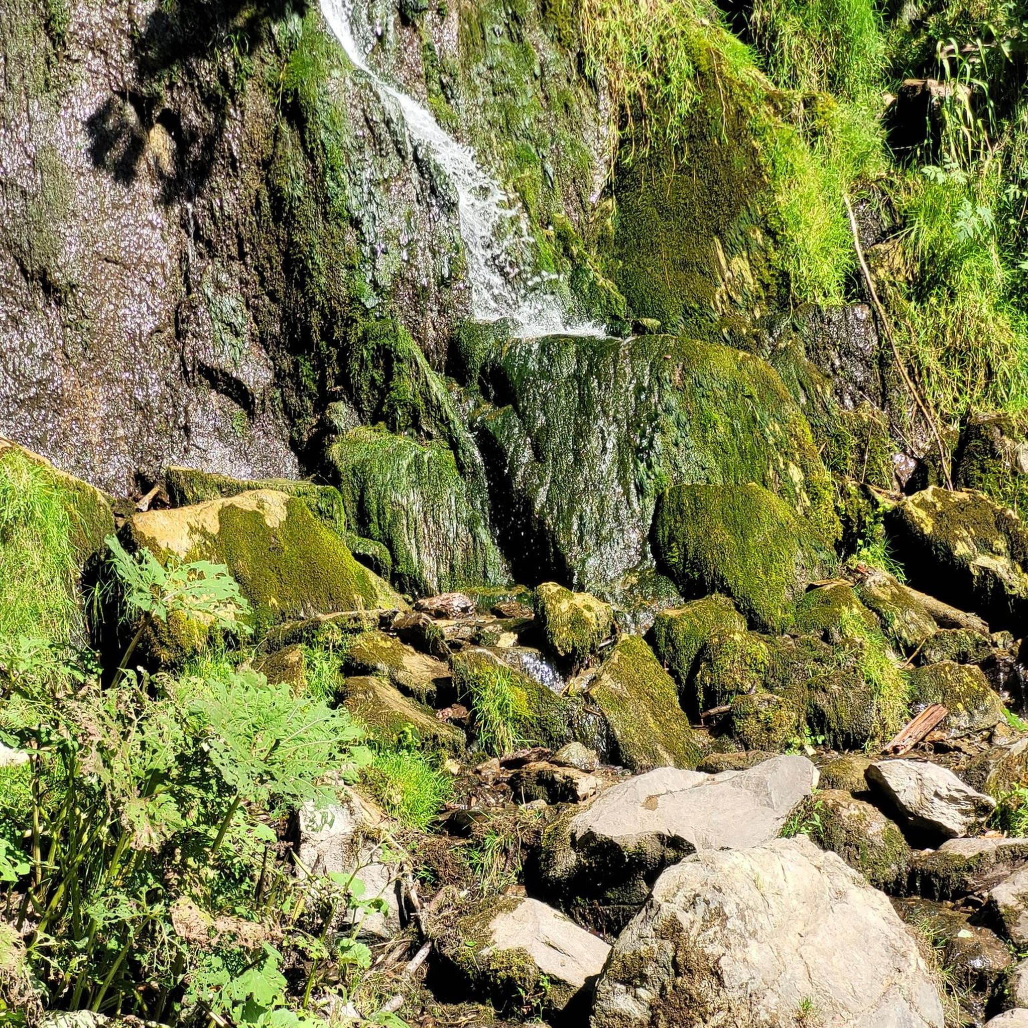
The terrain around Niederöfflingen is shaped by its volcanic Eifel origins. You'll encounter diverse landscapes including rolling hills, dense forests, and picturesque river valleys like the Lieser. Expect unique geological features, dramatic rock formations, and sometimes even waterfalls, providing a varied and engaging hiking experience.
Are there easy hiking trails suitable for beginners or families in Niederöfflingen?
Yes, Niederöfflingen offers over 400 easy hiking routes, many of which are suitable for beginners or families. These trails often feature gentle gradients and meander through pleasant woodlands or along scenic paths. An example is the Noogen Cross – Plein Hiking Car Park loop from Plein, which is 3.5 miles (5.6 km) long and generally takes about 1 hour 34 minutes.
What are some of the more challenging hikes around Niederöfflingen?
For those seeking a challenge, there are over 80 difficult routes in the area. These often involve more significant elevation changes and rugged paths. The Lieserpfad, while not a single route in our guide, is a well-known challenging trail in the wider region, offering demanding sections through wild forests and along narrow river paths.
Are there any circular hiking routes in Niederöfflingen?
Yes, many of the trails around Niederöfflingen are designed as circular routes, allowing you to start and end at the same point. For instance, the 2 Bäche-Pfad (Rundtour: Hasborn, Ober- und Niederscheidweiler) is an 8.8-mile (14.1 km) circular trail that explores streams and forested areas.
What natural features or landmarks can I see along the hiking trails?
The volcanic Eifel region is rich in natural features. You can discover extinct volcanic lakes (Maare), dramatic rock formations, and river valleys with wild-romantic streams. Some trails lead to impressive viewpoints like the Mosenberg Lookout Tower or the Windsborn Crater summit. You might also encounter unique geological formations such as the Lava rock formations at the summit of Mosenberg.
Are dogs allowed on the hiking trails in Niederöfflingen?
Generally, dogs are welcome on most hiking trails in the Niederöfflingen area. It's always advisable to keep your dog on a leash, especially in nature reserves, near livestock, or in areas with wildlife. Please ensure you carry waste bags and clean up after your pet.
What do other hikers enjoy most about the trails in Niederöfflingen?
The trails in Niederöfflingen are highly rated by the komoot community, with an average score of 4.6 stars from over 14,000 reviews. Hikers often praise the diverse volcanic landscapes, the serene forests, and the well-maintained paths that offer a mix of natural beauty and engaging terrain. Over 51,000 hikers have used komoot to explore this region.
Are there any trails that offer good viewpoints or panoramic vistas?
Yes, the volcanic Eifel landscape provides numerous opportunities for scenic views. Trails often lead to elevated points offering panoramic vistas of the surrounding hills and forests. Specific highlights include the Mosenberg Lookout Tower and the Windsborn Crater summit, both offering excellent vantage points.
What is the best time of year to go hiking in Niederöfflingen?
The best time for hiking in Niederöfflingen is typically from spring to autumn (April to October). During these months, the weather is generally mild and pleasant, and the natural scenery is at its most vibrant. Spring brings blooming wildflowers, while autumn offers stunning foliage colors. Summer is also popular, but be prepared for warmer temperatures.
Is there public transport available to access hiking trails near Niederöfflingen?
While specific routes may vary, the wider Volcanic Eifel region does have some public transport options, including bus services that connect towns and villages. For detailed information on reaching specific trailheads, it's best to check local bus schedules or regional transport websites, as direct access to all trails might require a car.
Are there any trails that follow rivers or streams?
Yes, the region is characterized by its river valleys. Trails like the 2 Streams Trail, an 8.8-mile (14.1 km) moderate path, specifically highlight the area's water features. The Lieser river and its valley are prominent, with many trails following its course, offering views of wild-romantic streams and sometimes even small waterfalls.
Most popular routes around Niederöfflingen
Most popular attractions around Niederöfflingen

Get inspired with the komoot mobile app


Explore more
Browse the best Hikes in other regions.
