The best road cycling routes in New Brunswick
4.6
(13)
490
riders
68
rides
Road cycling in New Brunswick offers a diverse landscape, from dramatic coastlines along the Bay of Fundy to lush wilderness and scenic river valleys. The province features varied terrain, including flat coastal routes, rolling hills, and some more challenging ascents. Cyclists can explore paved paths, designated trails, and quiet roads that traverse forested areas and open landscapes.
Best road cycling routes in New Brunswick
- The most popular road cycling route is Rural Road Near White House loop from Fredericton,…
Last updated: October 1, 2026
21
riders
131km
06:14
430m
430m
Hard road ride. Very good fitness required. Some segments of this route may be unpaved and difficult to ride.
15
riders
76.8km
03:41
890m
890m
Moderate road ride. Good fitness required. Mostly well-paved surfaces and easy to ride.

19
riders
39.2km
01:48
350m
350m
Moderate road ride. Good fitness required. Mostly well-paved surfaces and easy to ride.
21
riders
37.1km
01:38
300m
300m
Easy road ride. Great for any fitness level. Mostly well-paved surfaces and easy to ride.
4.0
(2)
19
riders
53.4km
02:35
240m
240m
Moderate road ride. Good fitness required. Mostly well-paved surfaces and easy to ride.
13
riders
70.2km
03:41
610m
610m
Moderate road ride. Good fitness required. Some segments of this route may be unpaved and difficult to ride.
13
riders
73.6km
03:22
280m
280m
Moderate road ride. Good fitness required. Some segments of this route may be unpaved and difficult to ride.
14
riders
116km
06:02
930m
930m
Hard road ride. Very good fitness required. Mostly well-paved surfaces and easy to ride.
12
riders
60.4km
02:48
610m
610m
Moderate road ride. Good fitness required. Mostly well-paved surfaces and easy to ride.
15
riders
34.9km
01:43
200m
200m
Moderate road ride. Great for any fitness level. Some segments of this route may be unpaved and difficult to ride.
Get access to more routes and recommendations from other explorers.
Already have an account?
Our route recommendations are based on thousands of hikes, rides, and runs completed by other people on komoot.
Start today with a free account
Your next adventure awaits.
Popular around New Brunswick

Road Cycling Routes around Rothesay
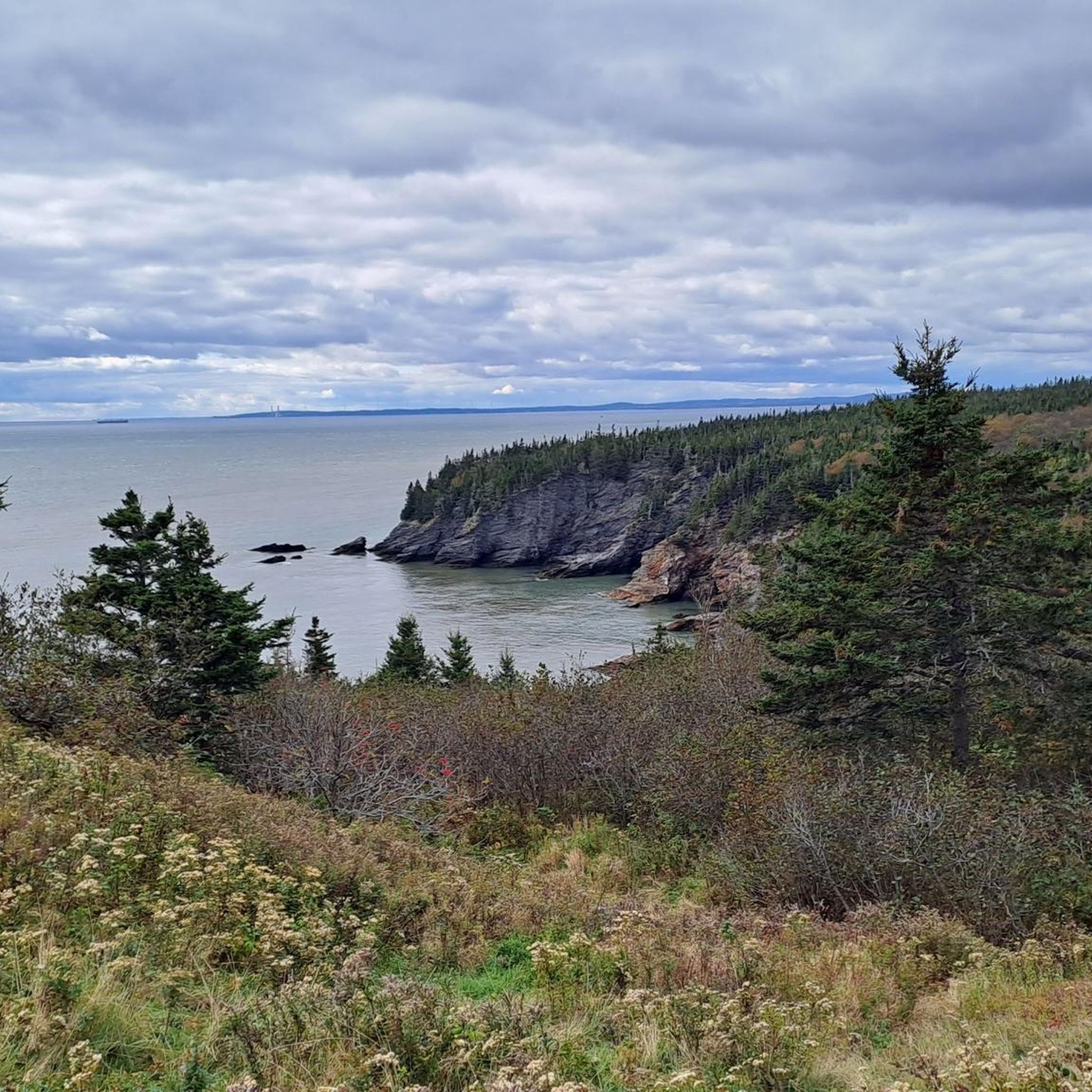
Road Cycling Routes around Kingston Parish

Road Cycling Routes around Westfield Parish
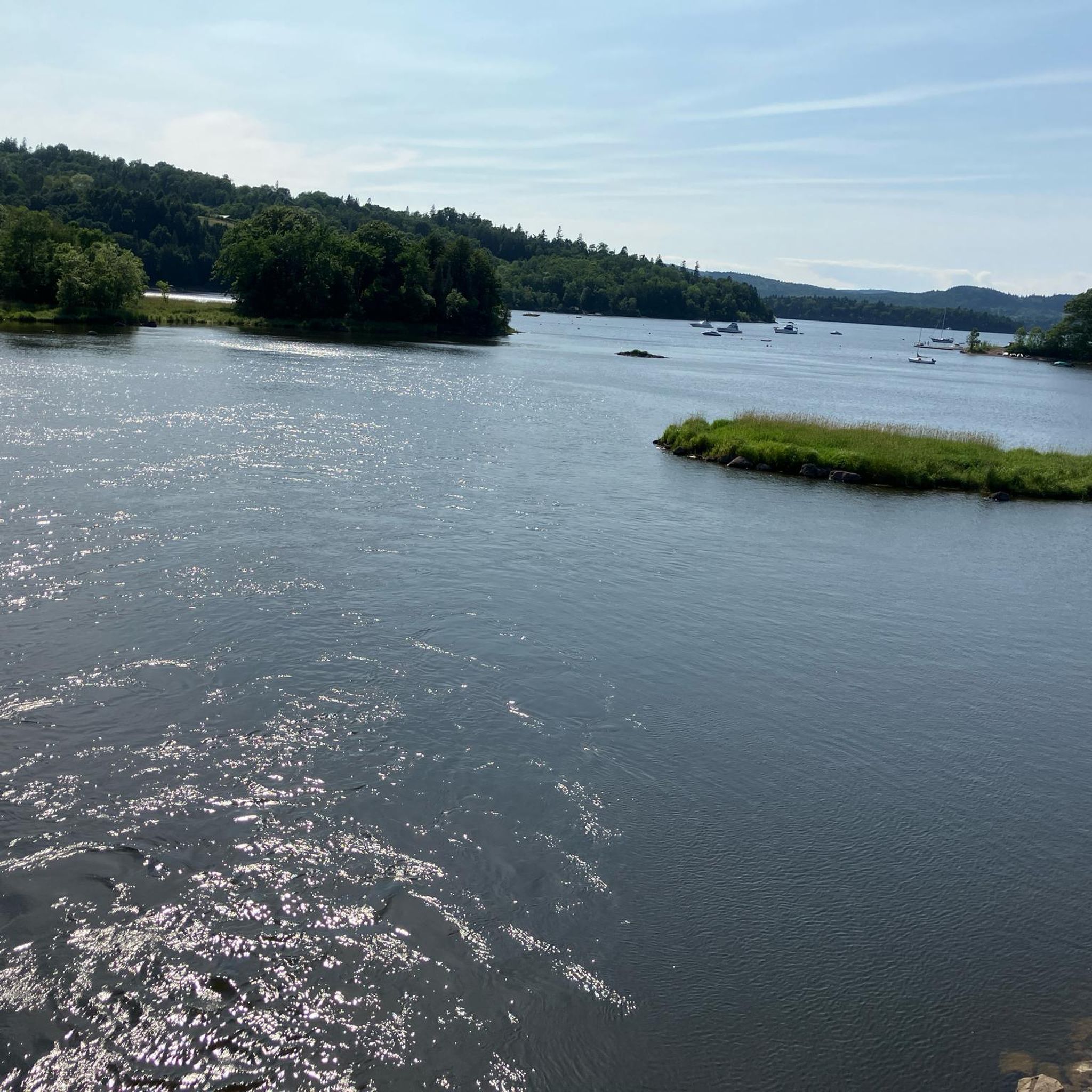
Road Cycling Routes around Quispamsis
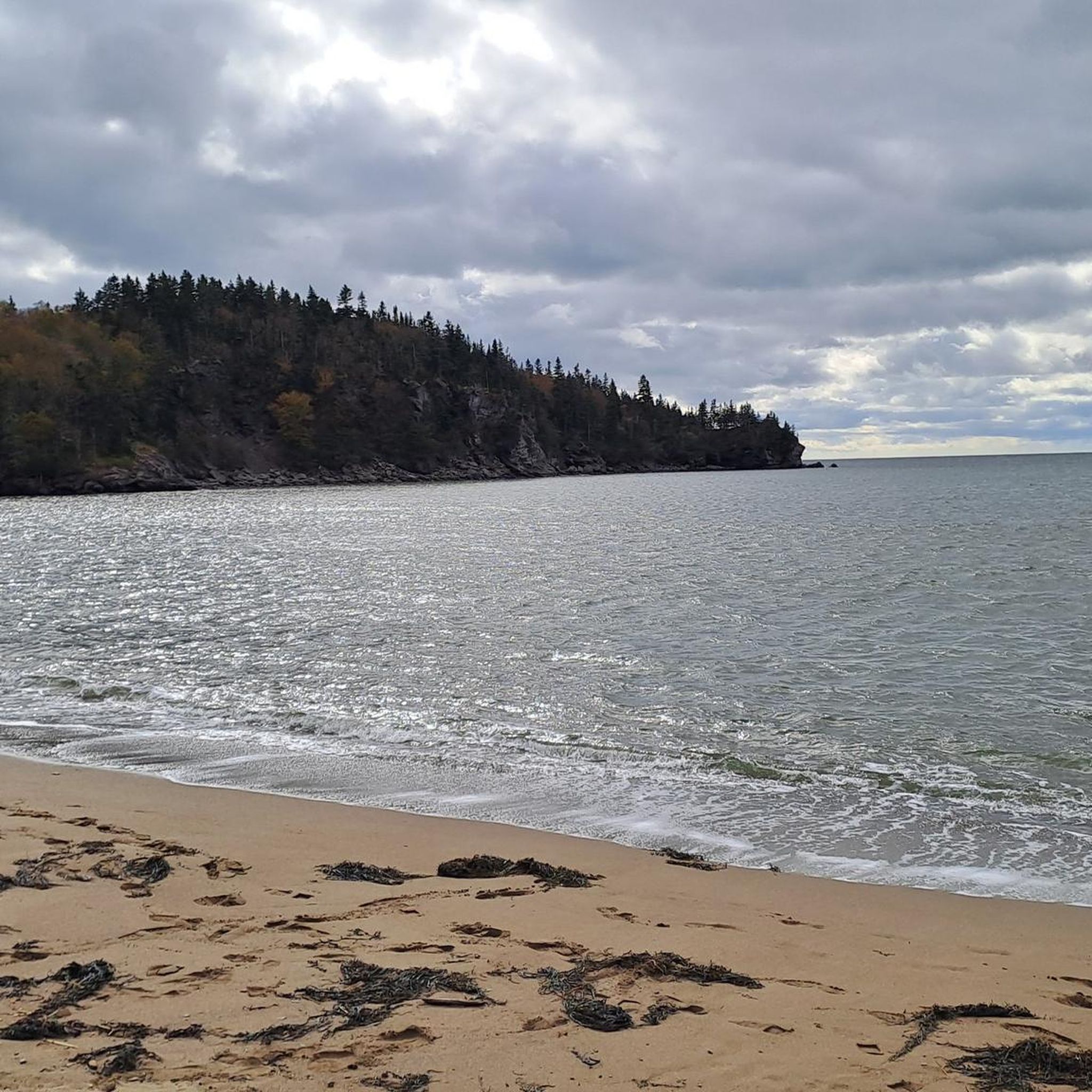
Road Cycling Routes around Saint John

Road Cycling Routes in Minister'S Face Nature Preserve
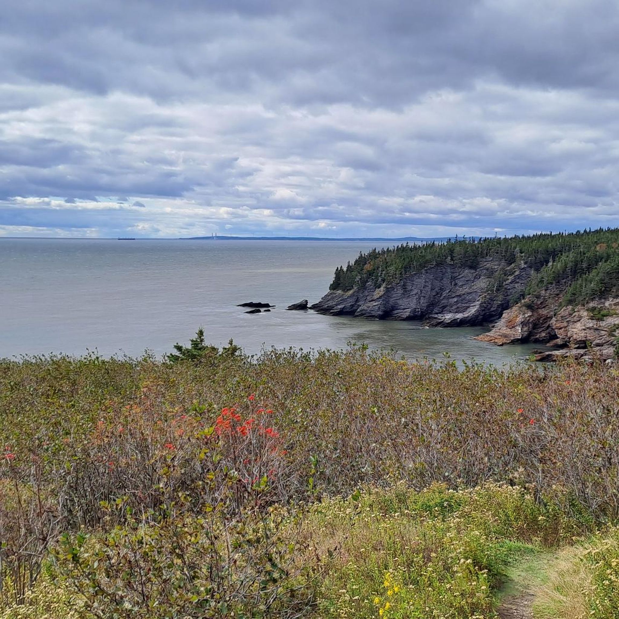
Road Cycling Routes around Simonds

Road Cycling Routes around Hampton Parish
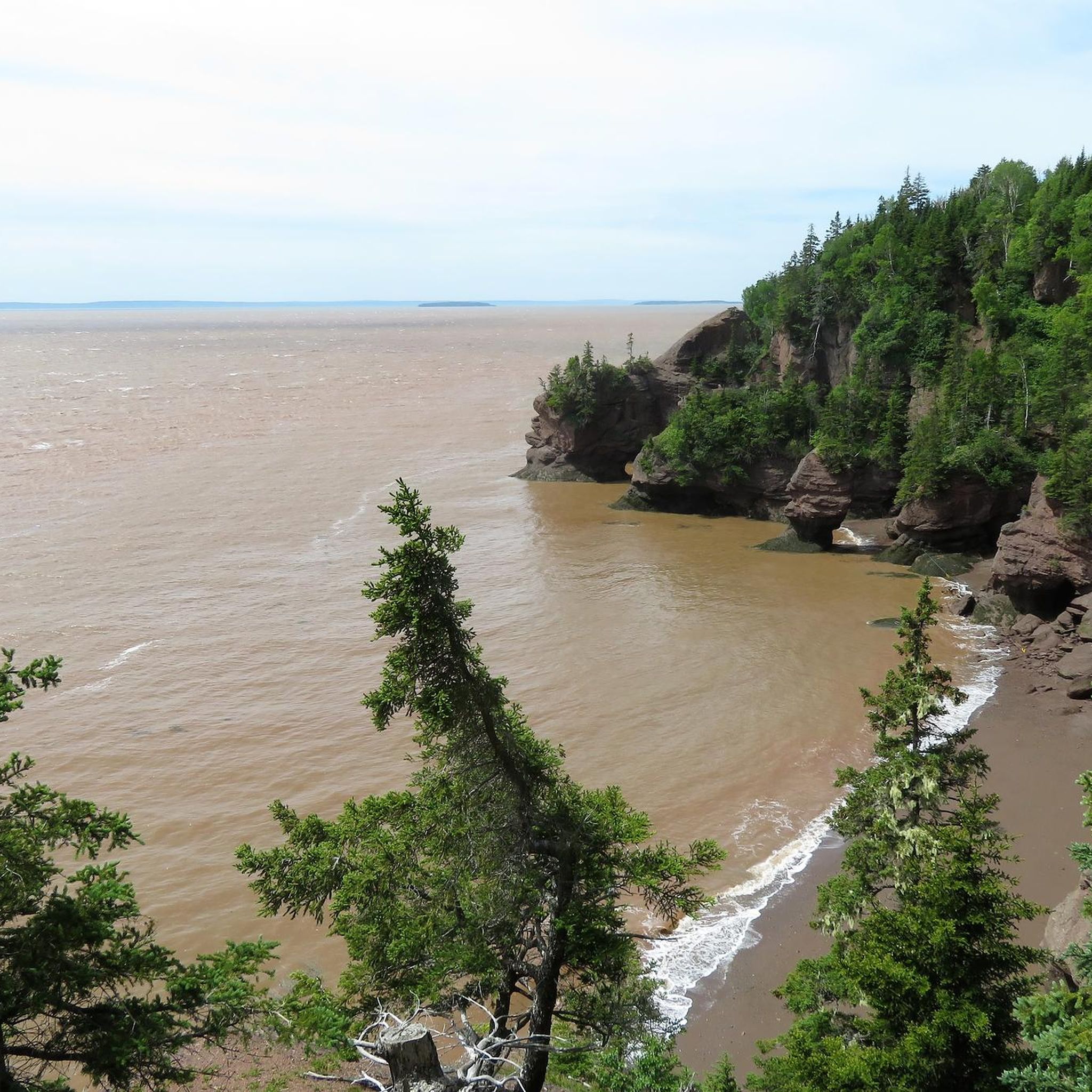
Road Cycling Routes around Coverdale Parish
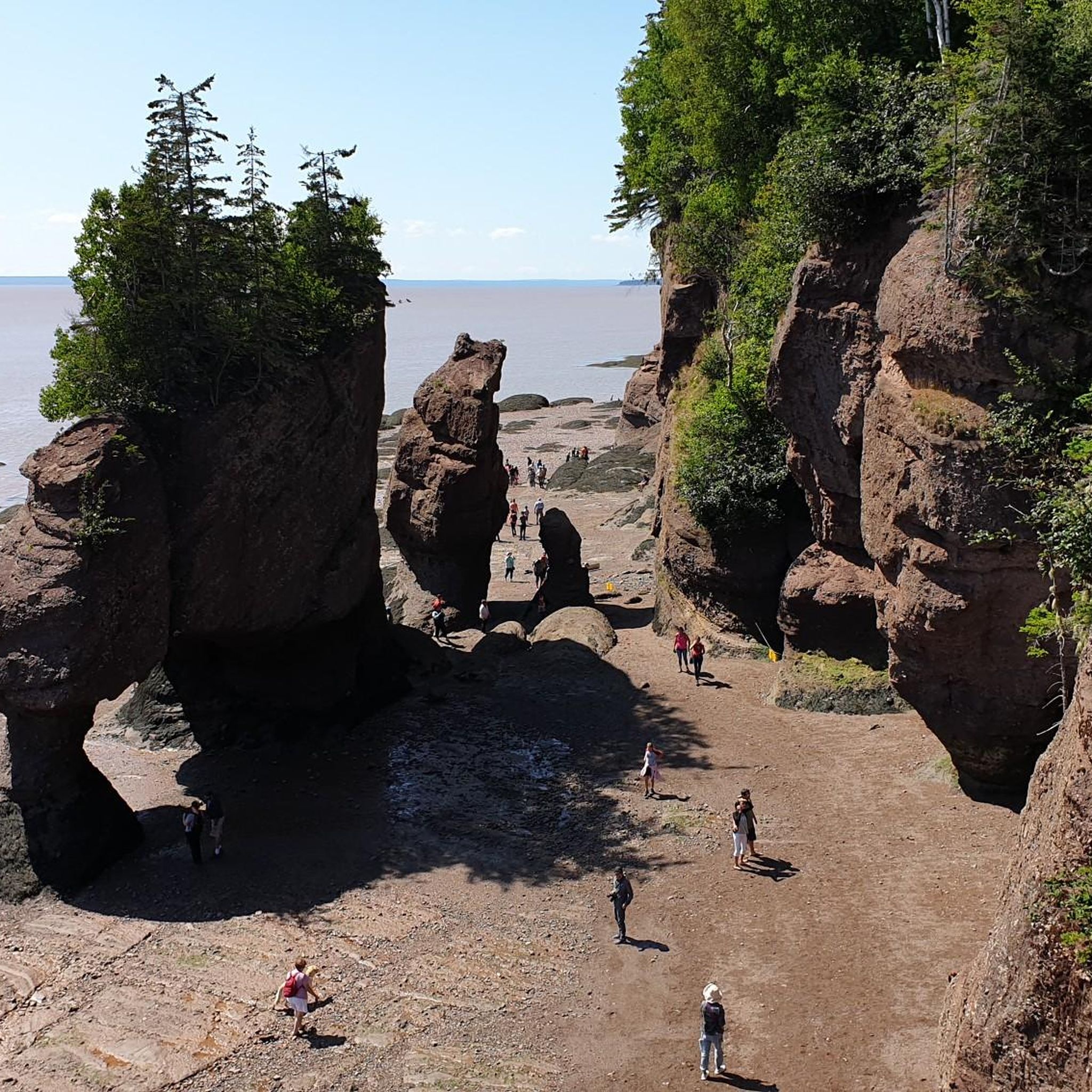
Road Cycling Routes around Moncton Parish
Other adventures in New Brunswick


Tips from the Community

The Fredericton Railway Bridge was once a railway bridge, but today is only used to carry pedestrians and cyclists across the Saint John River. In 2008, the bridge was renamed the Bill Thorpe Walking Bridge, after a founder of the Fredericton Trail System, and transports about 600,000 bikers and hikers each year.
0
0
This pavilion has lots of information about the Trans Canada Trail, along with maps and memorials on all 4 walls of the pavilion inside and out. There isn't a roof on the pavilion, so it's not a great escape from the rain or strong sunshine, but a great opportunity to learn.
0
0
Where Maple Avenue and Stewart Avenue meet, sits the humble trailhead of the Sussex Nature Walkway. There is no official parking area, but it's close to downtown, so there's plenty of street parking and nearby lots. The city has installed a sign at the trailhead with a map of the trail so that you won't miss it.
0
0

A long, mostly level multi-use route that traces the quiet corridor of the Nashwaak River on Fredericton’s north side. The compacted-gravel surface makes it easy to walk, run, or cycle, and the trail moves between shaded woodland, open stretches, and short riverside clearings. Views of the Nashwaak appear steadily along the way, especially near bridge crossings and wider bends in the river. The trail takes its name from the Nashwaak River itself, derived from the Wolastoqey (Maliseet) word Nekawäk—often interpreted as “slow current” or “still water,” a fitting description of the calm, steady flow that defines this part of the valley.
0
0
A riverfront green space along the Saint John River, offering open views across the water toward downtown Fredericton. The park features a wide, level pathway suitable for walking, running, and cycling, with plenty of lawn area and benches along the shoreline.
0
0
A small lakeside lookout offering a clear view across McKeever Lake from the forested edge. The approach is mostly level, following short local paths that open onto a gap in the trees with an unobstructed line of sight over the water. The lake is bordered by red maple, white birch, and pockets of spruce, and the reflection of the tree line is especially noticeable on calm days. It’s a simple, quiet waypoint that works well as a turnaround spot or mid-route pause for walkers and runners exploring the nearby neighbourhood trails.
0
0

The Saunders Brook Trail is an 8-kilometer, well-maintained path featuring a crushed rock surface. The trail follows the course of Saunders Creek and offers several convenient benches for resting along the way.
0
0
Hillside Trailhead is only a gate, a sign, and a gravel pullout. Parking is not allowed here, but there is a dirt lot three meters south on Grove Avenue.
0
0
Frequently Asked Questions
How many road cycling routes are available in New Brunswick?
Komoot offers nearly 90 road cycling routes across New Brunswick, catering to various skill levels. You'll find a diverse range of options, from easy rides to more challenging routes, exploring the province's varied landscapes.
Are there road cycling routes suitable for beginners in New Brunswick?
Yes, New Brunswick offers several easy road cycling routes perfect for beginners. For example, the Saunders Brook Trail loop from Roxbury Drive is an easy option, covering about 37 km. Many coastal trails, like sections of the Acadian Peninsula Trail, are largely level and well-maintained, providing a gentle introduction to road cycling.
What are some challenging road cycling routes for experienced riders?
For experienced cyclists seeking a challenge, New Brunswick has routes with significant distances and elevation gains. The Cape Church – Cap de Caissie loop from Town of Shediac is a difficult route spanning over 116 km, offering extensive coastal views. Another option is the Whites Bluff loop from Town of Grand Bay-Westfield, a moderate route with notable elevation changes over its 77 km.
Can I find family-friendly road cycling options in New Brunswick?
While specific 'family-friendly' routes aren't explicitly listed, many of New Brunswick's paved paths and designated trails are suitable for families. The Riverfront Trail in Moncton, for instance, offers a serene and relatively flat experience along the Petitcodiac River. Look for routes marked as 'easy' or those following old railway grades, which tend to be more level and safer for all ages.
What kind of natural attractions can I see along the road cycling routes?
New Brunswick's road cycling routes often pass by stunning natural attractions. Along the Bay of Fundy, you might encounter the dramatic Hopewell Rocks, famous for their 'flowerpot' formations. Other highlights include the Fundy National Park with its rugged coastline and Acadian forests, or the unique Reversing Falls Rapids near Saint John.
Are there any routes that feature waterfalls?
Yes, some areas in New Brunswick offer opportunities to see waterfalls. For example, within Fundy National Park, which is accessible from various cycling routes, you can find Laverty Falls. While not directly on a road cycling path, routes in the vicinity can provide access to these natural wonders.
What do other cyclists say about road cycling in New Brunswick?
The road cycling routes in New Brunswick are highly rated by the komoot community, with an average score of 4.25 stars from 8 reviews. Cyclists often praise the diverse landscapes, from dramatic coastlines to lush wilderness, and the blend of flat sections with moderate climbs that cater to various skill levels.
Are there many loop routes for road cycling in New Brunswick?
Yes, many road cycling routes in New Brunswick are designed as loops, offering convenient starting and ending points. Examples include the Rural Road Near White House loop from Fredericton, the Saunders Brook Trail loop from Town of Quispamsis, and the Hillside Trail – Hillside Trailhead loop from Town of Rothesay, providing varied distances and difficulties.
What is the best time of year for road cycling in New Brunswick?
The best time for road cycling in New Brunswick is typically from late spring through early autumn (May to October). During these months, the weather is generally mild, and the landscapes are vibrant. Summer offers the warmest temperatures, while spring and fall provide cooler rides and beautiful foliage, especially along forested routes.
Which routes offer a good mix of terrain, including both flat sections and climbs?
New Brunswick's geography provides a great mix of terrain. Routes like the Whites Bluff loop from Town of Grand Bay-Westfield offer varied terrain with both flat stretches and significant climbs. Coastal routes often feature flatter sections along the shore, transitioning into rolling hills as you move inland, providing a dynamic cycling experience.
Are there any routes that explore the unique geological features of the region?
While not a specific komoot route, the Stonehammer UNESCO Global Geopark area near Saint John showcases awe-inspiring landscapes shaped by geological forces. Cycling routes in this vicinity, such as the Reversing Falls – Fort La Tour loop from City of Saint John, can offer glimpses of these unique formations and the dramatic Bay of Fundy coastline.
Are there road cycling routes accessible by public transport?
Access to road cycling routes by public transport can vary depending on the specific starting point and local transit options. Major cities like Fredericton, Moncton, and Saint John have local bus services that might accommodate bicycles or get you close to trailheads. For routes outside urban centers, personal vehicle transport is often more practical.
Where can I find parking for road cycling trails in New Brunswick?
Parking availability varies by route. Many routes starting from towns or parks, such as the Rural Road Near White House loop from Fredericton or the Cape Church – Cap de Caissie loop from Town of Shediac, typically have designated parking areas in their respective starting cities or nearby trailheads. National and provincial parks also offer parking facilities for visitors.
Most popular routes in New Brunswick
Most popular attractions in New Brunswick

Get inspired with the komoot mobile app


Didn’t find what you were looking for?
Check out more Road cycling routes throughout New Brunswick below and find the perfect route in your destination.
Explore more
Browse the best Road cycling routes in other regions.
