The best road cycling routes around Neuendorf-Sachsenbande
4.6
(240)
2,191
riders
126
rides
Road cycling routes around Neuendorf-Sachsenbande are characterized by the flat, expansive landscapes of the Wilstermarsch region in Schleswig-Holstein, Germany. The area includes Germany's lowest accessible point, situated 3.54 meters (11.61 feet) below sea level, ensuring routes with minimal elevation gain. An extensive network of waterways, including the Wilster Au and proximity to the Kiel Canal, defines the terrain. These features provide a setting for road cycling through open fields and alongside canals on predominantly paved surfaces.
Best road cycling routes…
Last updated: July 10, 2026
5.0
(5)
43
riders
28.3km
01:07
40m
40m
Easy road ride. Great for any fitness level. Mostly well-paved surfaces and easy to ride.
4.5
(4)
36
riders
37.4km
01:29
90m
90m
Easy road ride. Great for any fitness level. Mostly well-paved surfaces and easy to ride.

Sign up for free
4.0
(1)
20
riders
17.8km
00:44
30m
30m
Easy road ride. Great for any fitness level. Mostly well-paved surfaces and easy to ride.
5.0
(3)
17
riders
48.1km
02:01
60m
60m
Moderate road ride. Good fitness required. Some segments of this route may be unpaved and difficult to ride.
10
riders
21.0km
00:52
30m
30m
Moderate road ride. Great for any fitness level. Some segments of this route may be unpaved and difficult to ride.
Get access to more routes and recommendations from other explorers.
Sign up for free
Already have an account?
Our route recommendations are based on thousands of hikes, rides, and runs completed by other people on komoot.
Start today with a free account
Your next adventure awaits.
Login or Signup

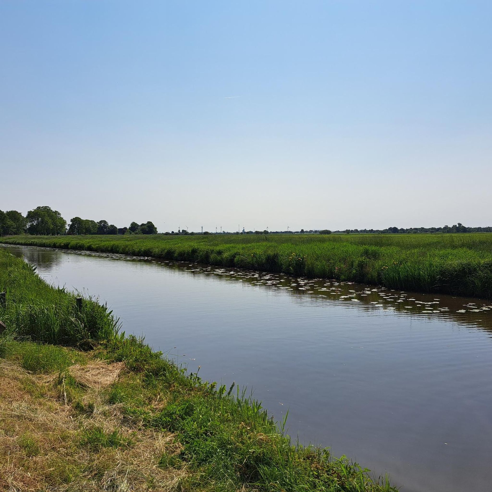
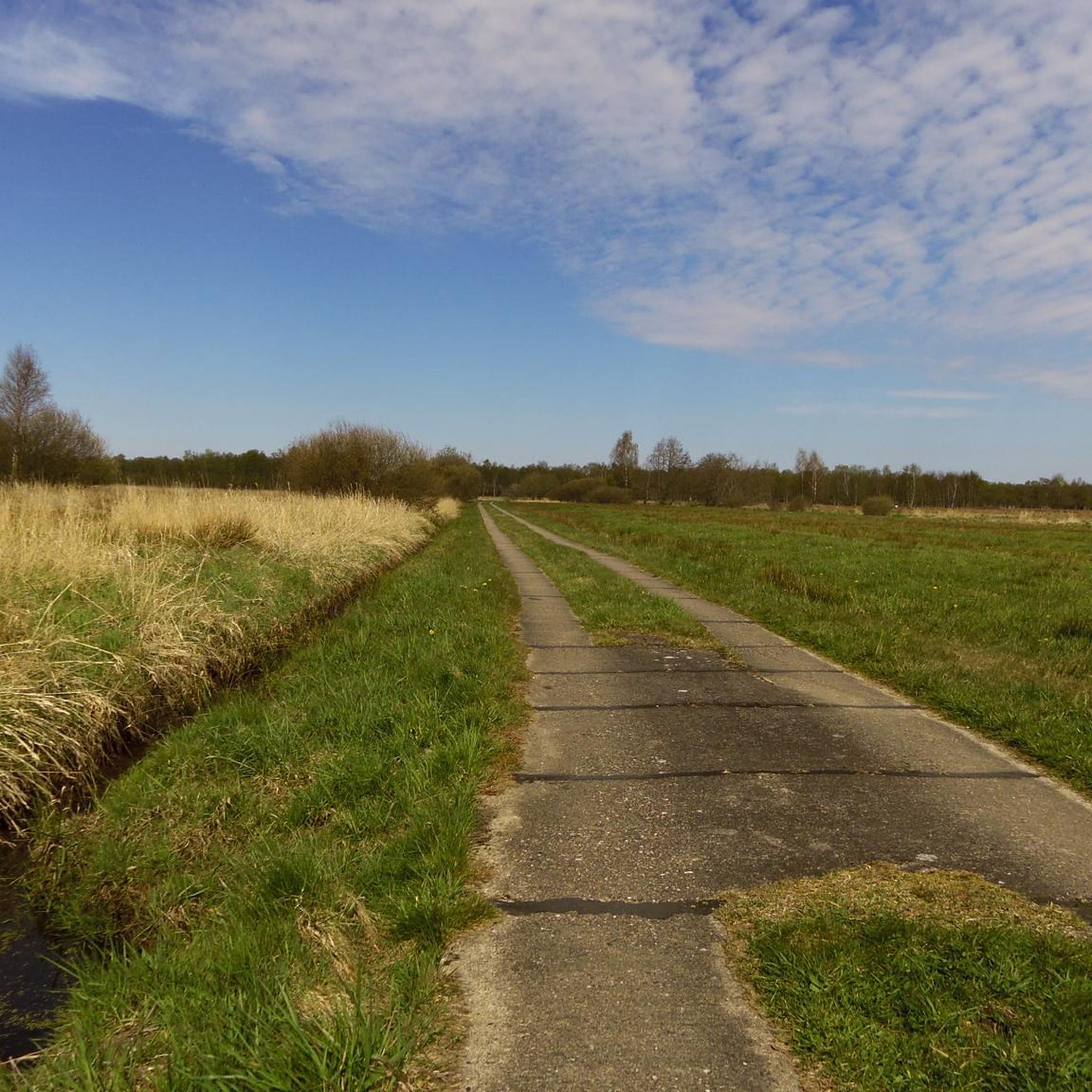
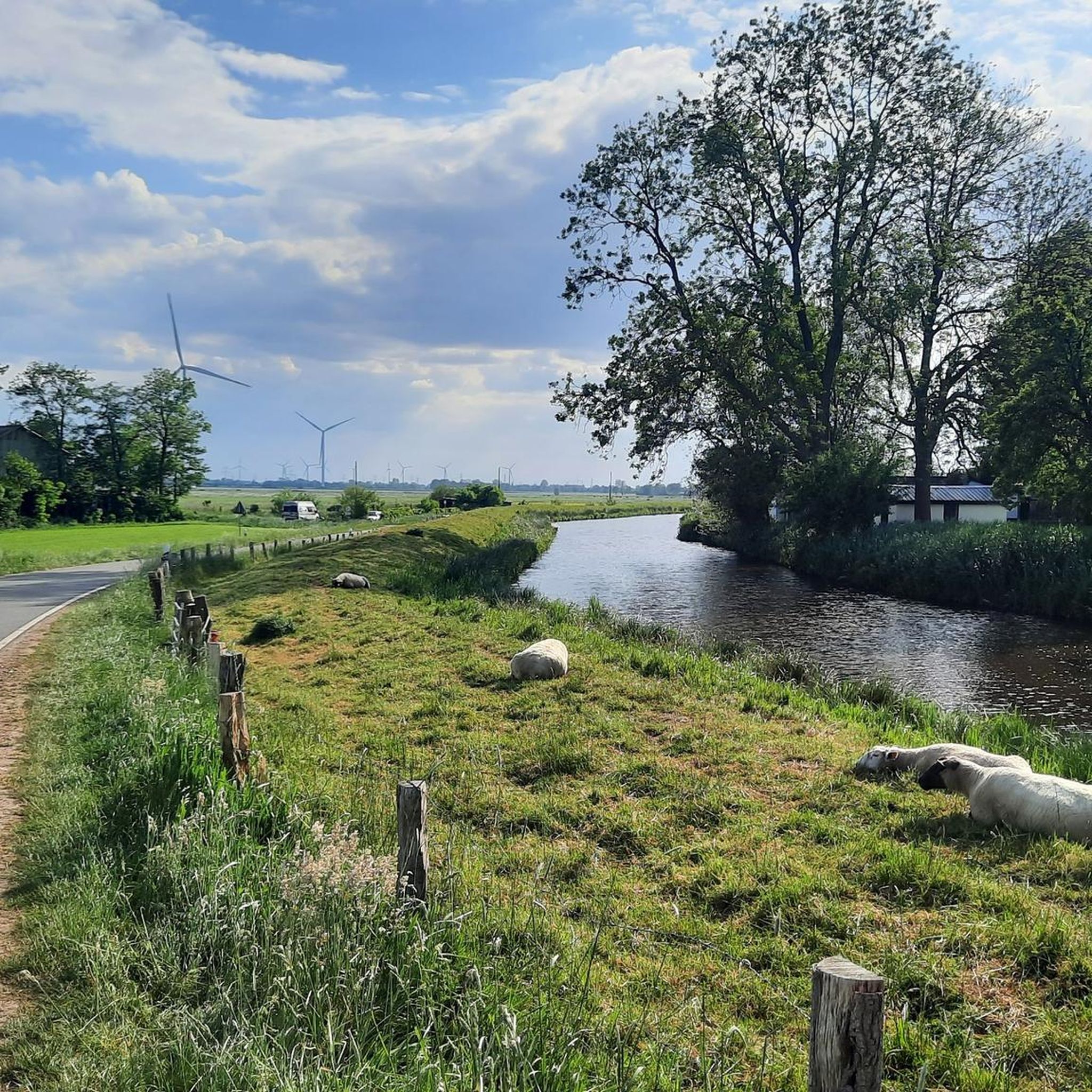
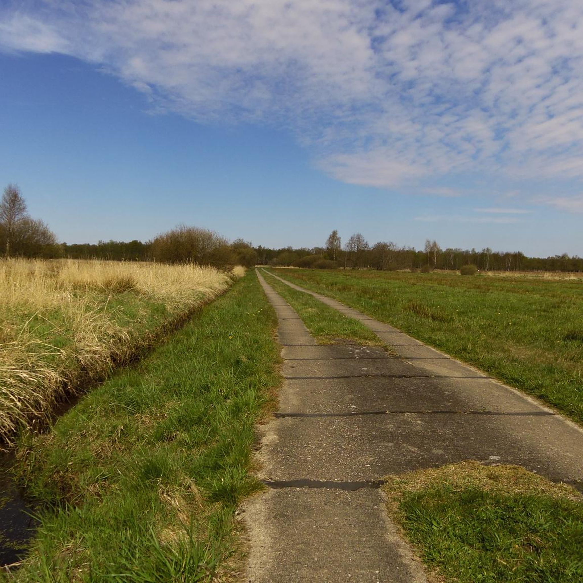

Other adventures around Neuendorf-Sachsenbande

Tips from the Community

Windmill in Beidenfleth. Nice landmark
0
0

Opening hours: Monday - Friday: 6:00 a.m. to 8:00 p.m., Saturday 7:00 a.m. to 8:00 p.m., Sunday and public holiday 10:00 a.m. to 6:00 p.m. (as of 2026)
0
0

It's always good to know where one is. I always mark it on longer trips. The bench next to it is very helpful when doing repairs.
2
0


Everything necessary is there to make small improvements to the bike.
1
0

Small ferry, fast crossing, fair price. I think 2 euros is really reasonable. No waiting, and covered benches with tables on the west bank.
0
0

A beautiful old mill, wonderfully restored.
0
0
Frequently Asked Questions
How many road cycling routes are available around Neuendorf-Sachsenbande?
There are over 140 road cycling routes available around Neuendorf-Sachsenbande. These routes cater to various skill levels, with a significant number being easy to moderate.
Are there road cycling routes suitable for beginners in Neuendorf-Sachsenbande?
Yes, Neuendorf-Sachsenbande is an excellent region for beginners due to its exceptionally flat terrain. Nearly 50 easy routes are available, offering minimal elevation gain. An example of an easy route is the Stör Ferry Else – Kasenort Lock loop from Wilster, which is 17.4 miles (28.1 km) long and passes by the Stör Ferry.
Are there any challenging road cycling routes for experienced riders?
While the region is known for its flat landscapes, there are nearly 100 moderate routes available for those seeking longer distances or slightly more varied terrain. These routes still feature the characteristic flat profile of the Wilstermarsch but can offer extended rides. An example is the Scheelenkuhlen Lower Light – Kasenort Lock loop from Wilster, a 48 km route.
What kind of landscapes can I expect to see while road cycling here?
You'll experience the unique, flat, and expansive landscapes of the Wilstermarsch region. Routes often wind through open agricultural fields, alongside extensive networks of waterways like the Wilster Au, and near the Kiel Canal and Elbe River. This provides a tranquil and picturesque backdrop for your rides, with opportunities to observe traditional farmhouses and impressive vessels on the canals.
Are there any circular road cycling routes in the area?
Yes, many of the road cycling routes around Neuendorf-Sachsenbande are designed as loops, allowing you to start and end at the same point. For instance, the popular Stör River – Kasenort Lock loop from Vaalermoor is a 23.7-mile (38.1 km) circular route offering views along the Stör River and the Kasenort Lock.
What interesting landmarks or attractions can I see along the road cycling routes?
The region offers several points of interest. You can cycle alongside the Elbe Cycle Path at Brokdorf, observe the engineering marvels of the Hochdonn Ferry and Railway Bridge on the Kiel Canal, or visit the Kasenort Lock where the Wilsterau flows into the Stör. The area is also home to the Lowest Point in Germany.
What do other road cyclists enjoy most about road cycling in Neuendorf-Sachsenbande?
The area is highly rated by the komoot community, with an average score of 4.6 stars from over 240 reviews. Reviewers often praise the exceptionally flat terrain, which makes for relaxed and enjoyable rides, and the scenic routes along the extensive network of waterways and through agricultural landscapes.
Is public transport available to access the road cycling routes?
The Wilstermarsch region, including Neuendorf-Sachsenbande, is primarily rural. While specific public transport options directly to every route start point might be limited, regional bus services connect some towns. For detailed information on public transport connections, it's advisable to check local transport schedules for the Schleswig-Holstein area.
Where can I find parking for road cycling routes?
Given the rural nature of the region, parking is generally available in or near the towns and villages that serve as starting points for many routes, such as Wilster or Oelixdorf. Look for designated parking areas in town centers or near popular attractions. Always ensure you park responsibly and legally.
Are there any routes that pass by historic sites or castles?
Yes, some routes offer glimpses of historical architecture. For example, the Breitenburg Castle – Heiligenstedten Bascule Bridge loop from Oelixdorf leads through agricultural landscapes and past Breitenburg Castle, offering a blend of natural beauty and historical interest.
What is the best time of year for road biking in Neuendorf-Sachsenbande?
The spring, summer, and early autumn months generally offer the most pleasant conditions for road cycling in Neuendorf-Sachsenbande. During these seasons, the weather is typically mild, and the landscapes are vibrant. The flat terrain makes it accessible for cycling even on slightly windier days, but checking local weather forecasts is always recommended.
Can I find cafes or places to stop for refreshments along the routes?
While the routes primarily traverse rural landscapes, towns and villages like Wilster, which is a common starting point, offer cafes, restaurants, and shops where you can stop for refreshments. Planning your route with potential stops in mind is recommended, especially for longer rides.
Most popular routes around Neuendorf-Sachsenbande
Most popular attractions around Neuendorf-Sachsenbande

Get inspired with the komoot mobile app


Explore more
Browse the best Road cycling routes in other regions.
