The best cycling routes around Nalbach
4.5
(244)
1,404
riders
50
rides
Touring cycling routes around Nalbach traverse a region characterized by diverse landscapes, including serene river valleys, extensive forests, and varied hilly terrain. The area benefits from its location within the Saarland, offering access to the Prims River and prominent local features like the Litermont. Cyclists can explore routes that follow riverbanks or ascend through woodlands, providing a range of gradients. The cycling infrastructure supports exploration of this natural environment.
Best touring cycling routes around Nalbach
- The most popular touring cycling…
Last updated: October 8, 2026
4.6
(50)
247
riders
28.4km
01:40
150m
150m
Moderate bike ride. Good fitness required. Mostly paved surfaces. Suitable for all skill levels.
4.1
(14)
94
riders
47.8km
03:11
470m
470m
Hard bike ride. Very good fitness required. Mostly paved surfaces. Suitable for all skill levels.

4.8
(8)
61
riders
28.8km
01:41
110m
110m
Easy bike ride. Great for any fitness level. Mostly paved surfaces. Suitable for all skill levels.
4.9
(9)
74
riders
41.8km
02:28
200m
200m
Moderate bike ride. Good fitness required. Mostly paved surfaces. Suitable for all skill levels.
4.1
(13)
39
riders
Easy bike ride. Great for any fitness level. Mostly paved surfaces. Suitable for all skill levels.
Get access to more routes and recommendations from other explorers.
Already have an account?
Our route recommendations are based on thousands of hikes, rides, and runs completed by other people on komoot.
Start today with a free account
Your next adventure awaits.
Popular around Nalbach
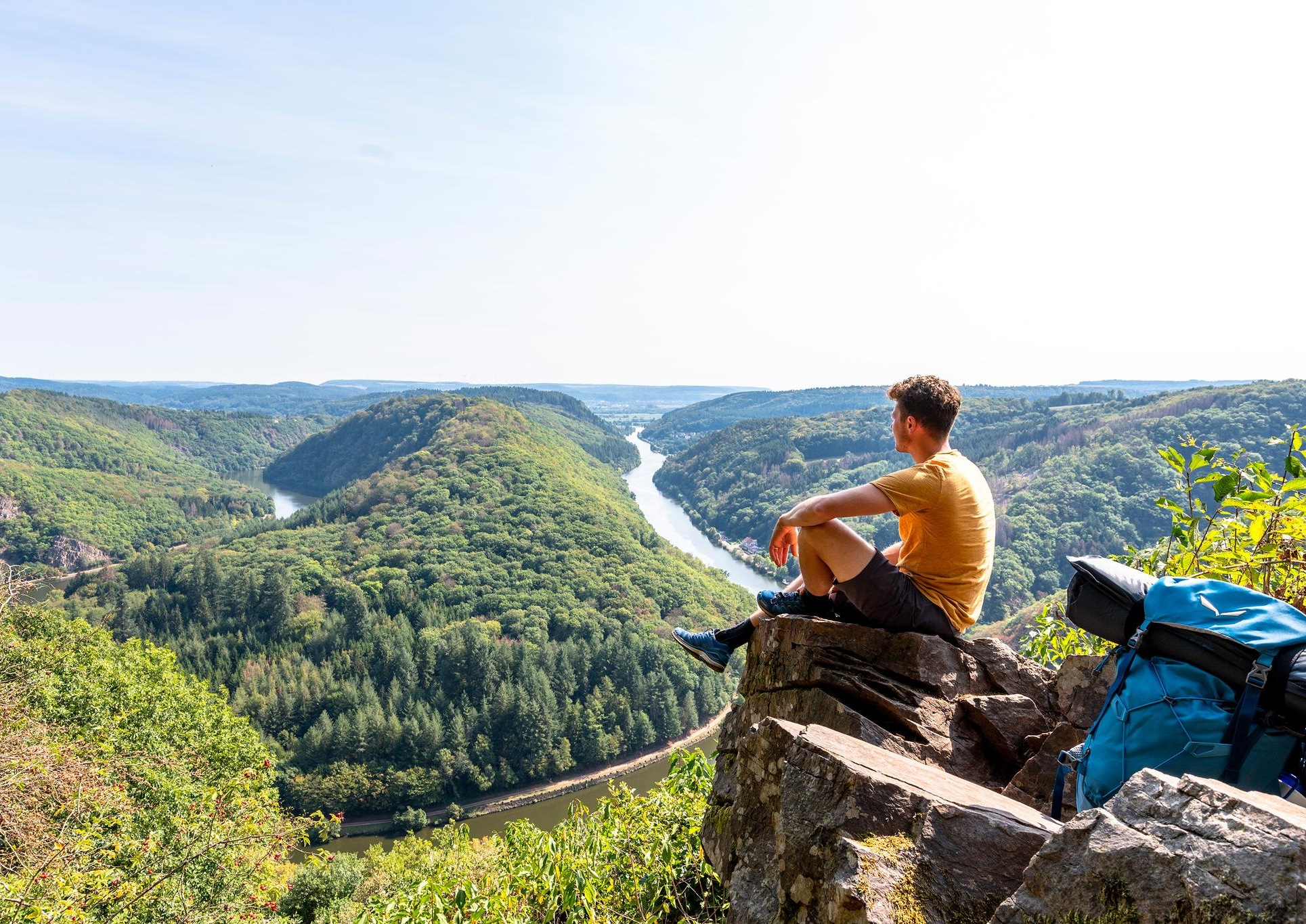
So close, so diverse – the most beautiful hikes in Saarland
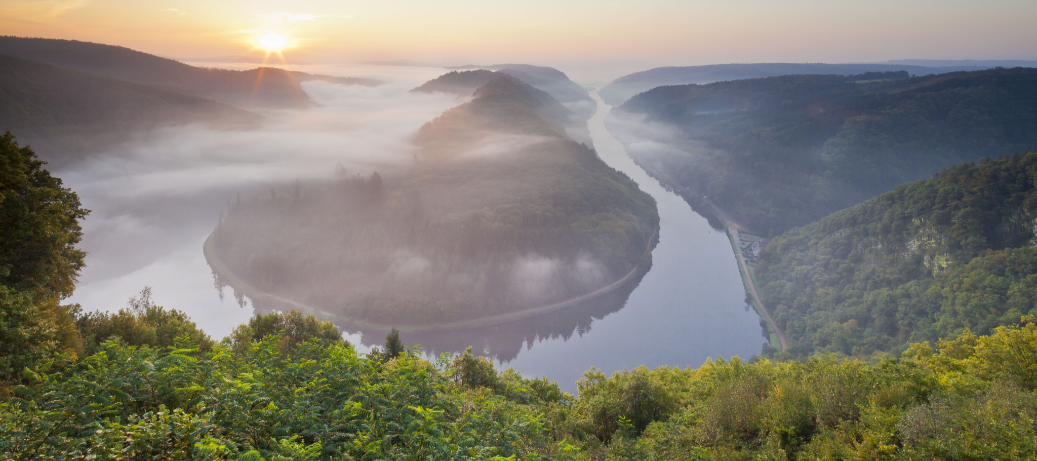
Between the Saarschleife and the Blies – the most beautiful hikes in Saarland
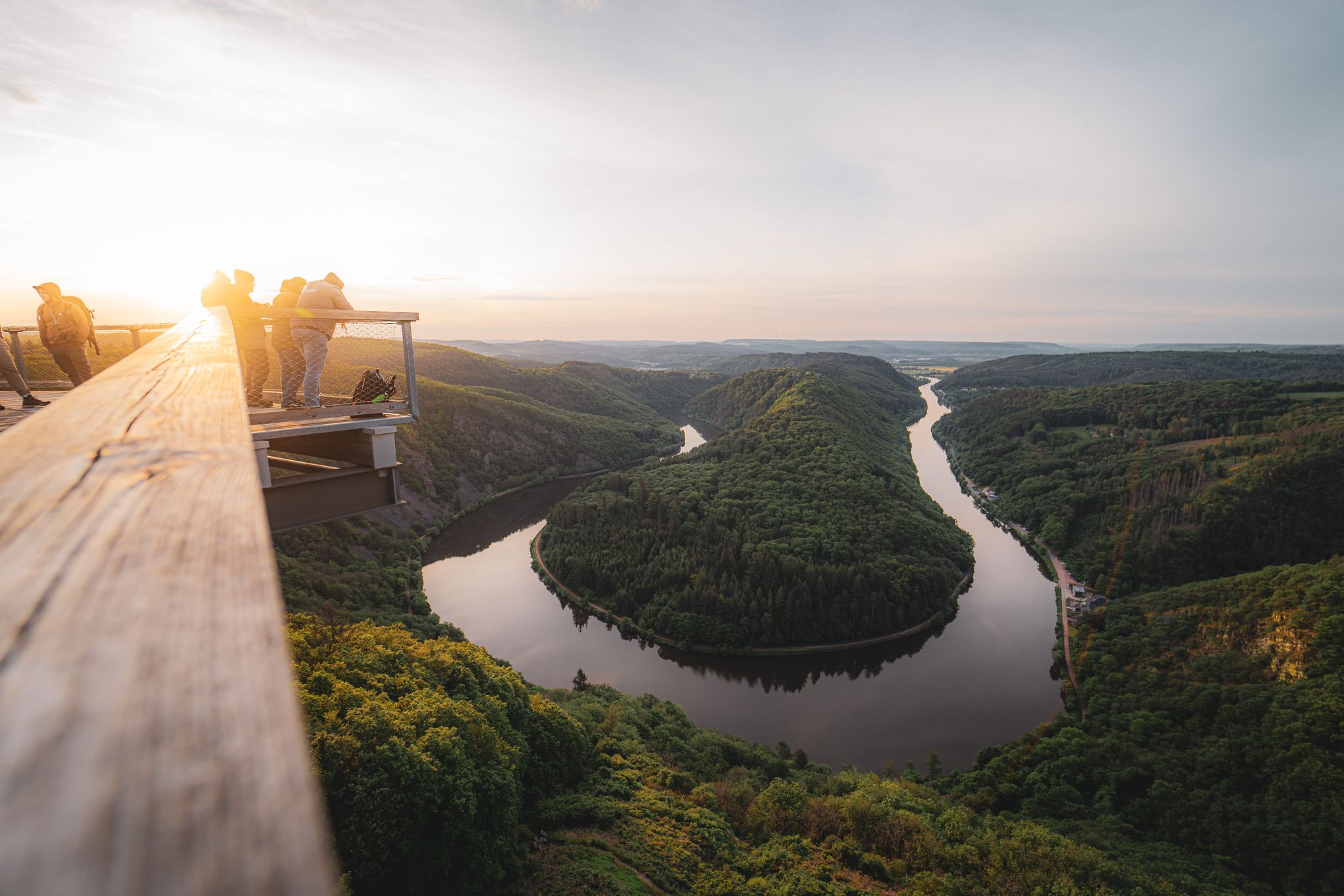
Saarland – primeval forests, river bends and secret night camps

Satisfy your Wanderlust – premium hiking trails in Saarland

Countless trails, nature & history – hiking in Saarland
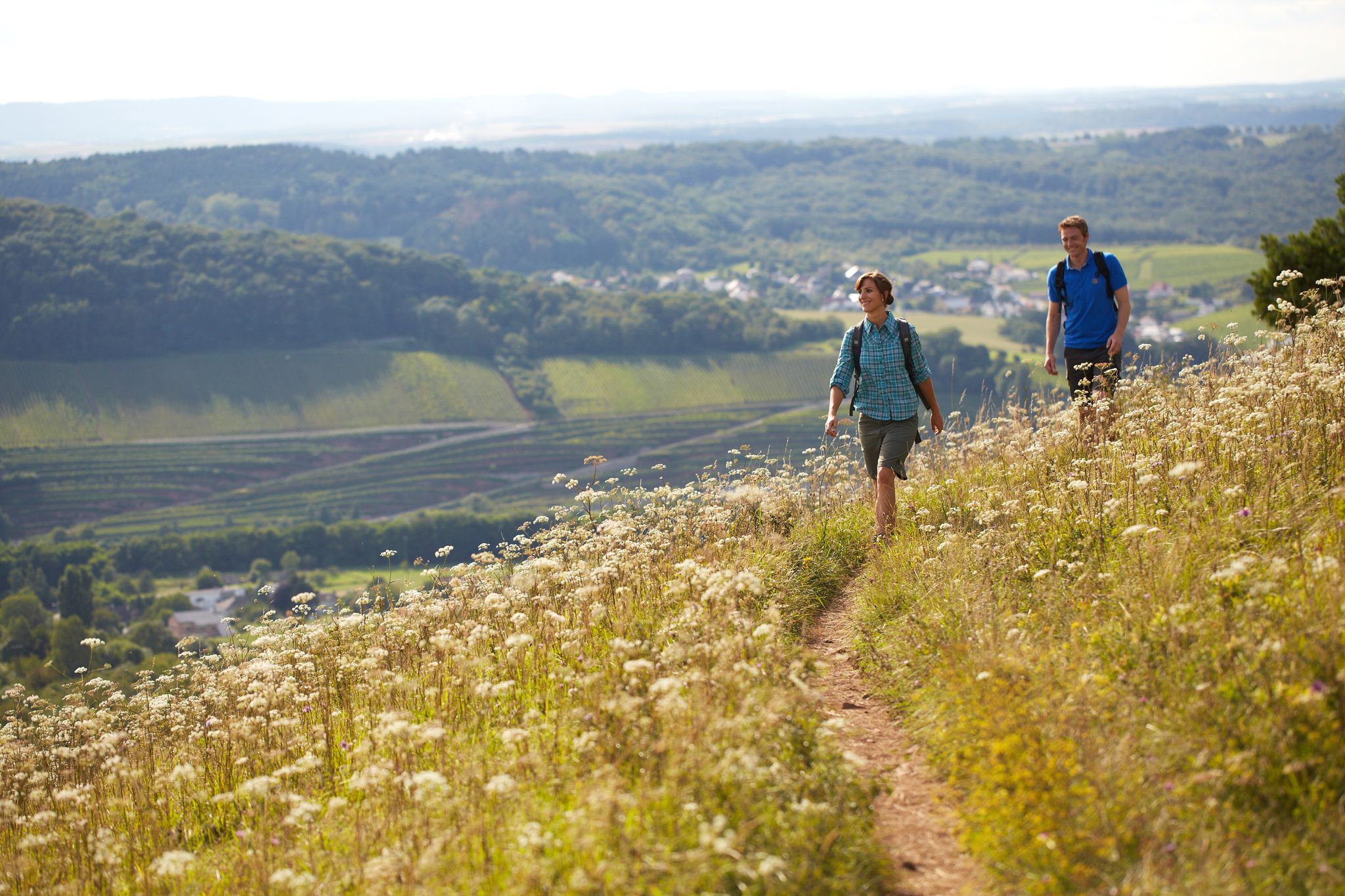
The ten most beautiful hiking trails through Saarland in Germany
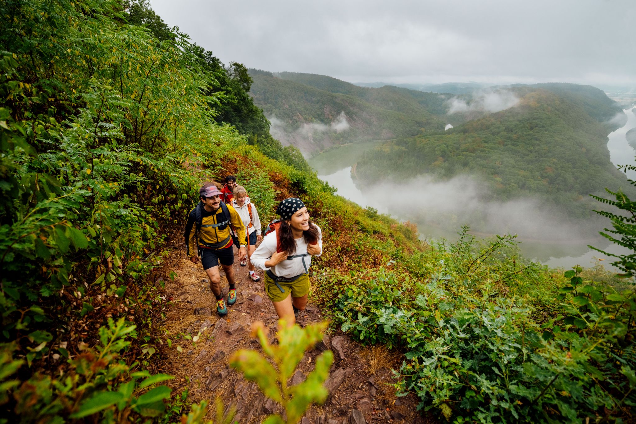
Ganz viel Abwechslung: Die 5 schönsten Wanderungen im Saarland
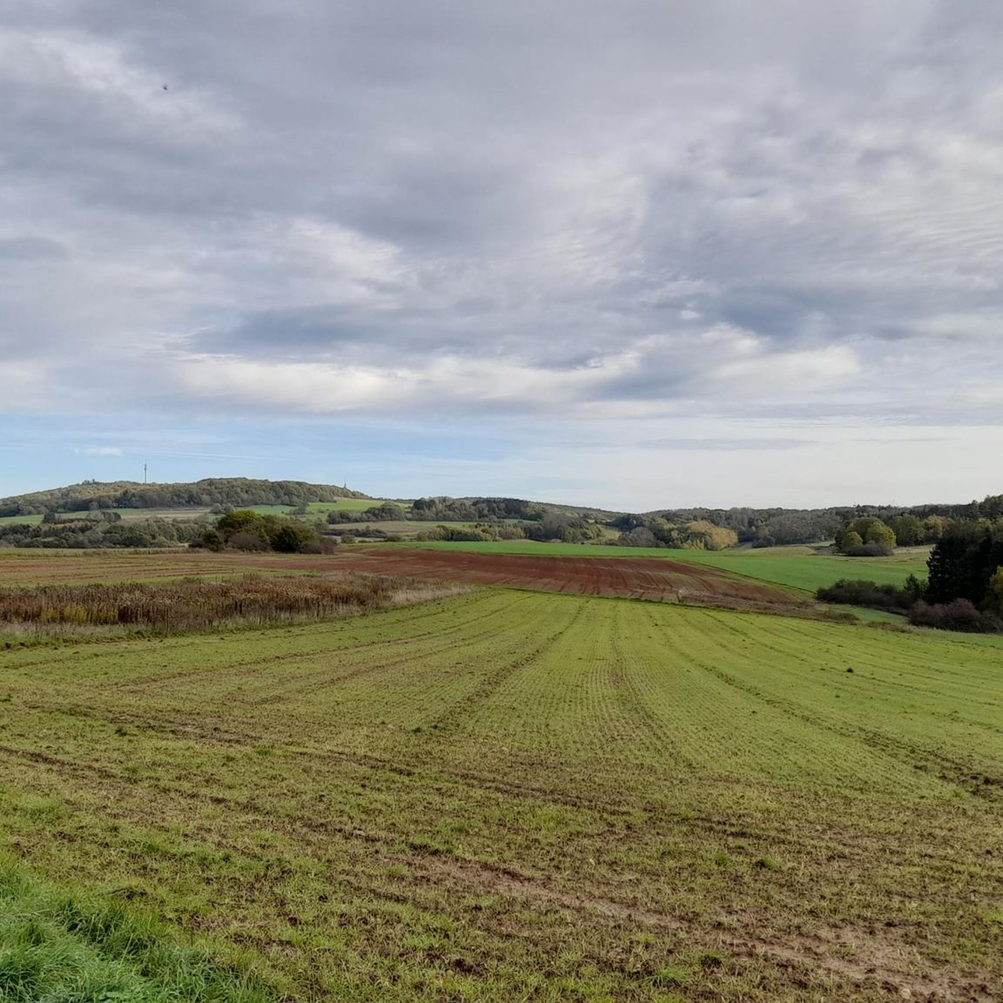
Hiking around Nalbach
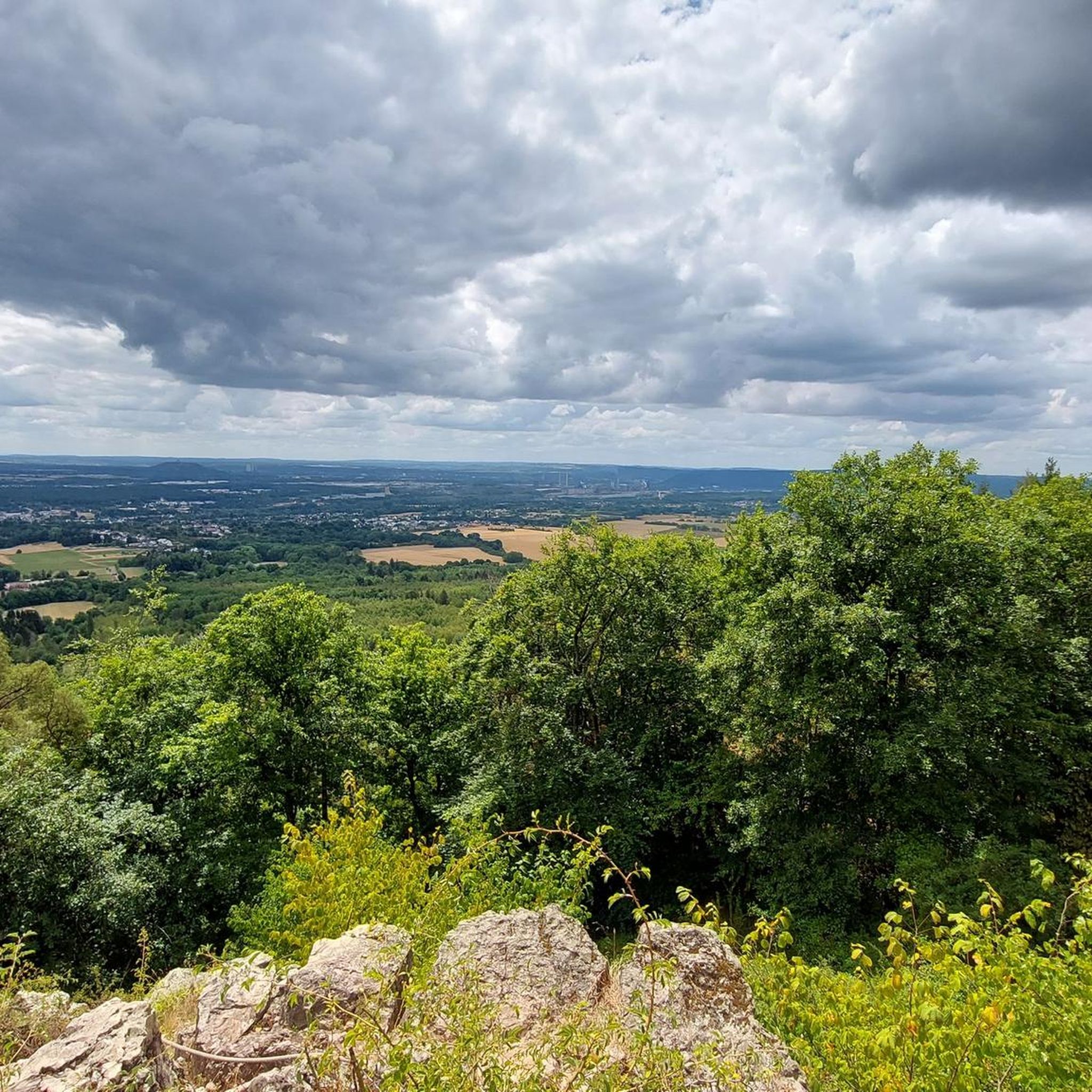
MTB Trails around Nalbach
Running Trails around Nalbach
Other adventures around Nalbach


Tips from the Community

lost place - is this Fitzcarraldo's ship?
0
0

Indeed a quiet spot. I enjoyed it.
0
0

What's behind it: The two boats on the bank of the Saar in Rehlingen are the former passenger ship „River Lady“ and a smaller sports boat attached to it. - The glorious past: The „River Lady“ was formerly a familiar sight on the river. It ferried excursionists from Saarlouis to the Saarschleife near Merzig or offered harbor tours in Dillingen. - The downfall: At the end of August / beginning of September 2025, both ships suddenly sank to the bottom of the Saar for unknown reasons at the Rehlingen lock. The fire department even had to be deployed to contain leaking pollutants. - The recovery: As the wrecks posed a danger to shipping with impending autumn floods, they were recovered in early April 2026 after months underwater in an elaborate operation by divers and cranes. - The current status: Your photo from May 23, 2026 captures exactly this state after the recovery. The ships were temporarily placed on dry land on the bank near Rehlingen.
0
0
Once, the "River Lady" ferried happy excursionists across the waves of the Saar to the famous Saarschleife. But the glorious days of the old excursion steamer came to an abrupt end: In the late summer of 2025, the ship, along with a small sports boat, suddenly sank to the riverbed at the Rehlingen lock. For months, the wrecks slumbered in the murky water until they were brought to light in an elaborate salvage operation in the spring of 2026. Today, the rusty steel hulls rest like stranded whales on dry land by the bank. This fascinating "Lost Place" silently tells of past river journeys, defies the elements, and is an absolute must-stop for photographers and explorers along the Saar!
0
0

The Dillinger Hafen port is among the top 10 German inland ports and one of the most modern in Europe. Its surroundings are ideal for cycling.
1
0

Successful conclusion of the Primstour
0
0

Since June 12, 1982, the Losheim Museum Railway Club has been operating steam locomotive-powered museum tours on the railway lines of the former Merzig-Büschfelder Railway (MBE). The route is approximately 15 km long and runs through the beautiful landscapes of the Hochwald forest. The total round trip takes approximately two hours. All trains are staffed – tickets are available on the train. The museum railway also offers free bicycle transport.
2
0

Nice and quiet here and only a slight incline.
0
0
Frequently Asked Questions
What kind of terrain can I expect on touring cycling routes around Nalbach?
Touring cycling around Nalbach offers a diverse landscape. You'll find routes traversing serene river valleys, extensive forests, and varied hilly terrain. The area benefits from its location within the Saarland, providing access to the Saar River and local features like the Litermont, which means you can expect a range of gradients from gentle riverbank paths to more demanding climbs through woodlands.
Are there touring cycling routes suitable for beginners or families in Nalbach?
Yes, Nalbach offers routes suitable for various skill levels, including easy options perfect for beginners and families. For instance, the Prims Footbridge near Piesbach – Ponds along the Prims loop from Nalbach is an easy 16.7-mile (26.9 km) trail that follows the Prims river, passing by scenic ponds. The broader Saarland region is also known for its well-signposted routes along old towpaths, which are generally suitable for families.
What are some notable natural features or landmarks I can see while cycling in Nalbach?
The region around Nalbach is rich in natural beauty. You can explore routes that offer views of the Prims River, pass by scenic ponds, and ascend through woodlands. The prominent local natural feature, Litermont, offers panoramic views from its summit. While cycling, you might also encounter highlights such as the Kneipp basin and historic fountain in the forest or enjoy a break at the Sodix Hut at Litermont. The wider Saarland region also boasts the iconic Saarschleife (Saar Loop) and the Bliesgau UNESCO Biosphere Reserve, which are accessible from Nalbach.
When is the best time of year to go touring cycling in Nalbach?
The popularity of cycling in the Nalbach area peaks in May and June, indicating these months offer favorable conditions for touring cyclists. Generally, spring and early summer provide pleasant weather for exploring the diverse landscapes of the Saarland region.
Are there any circular touring cycling routes around Nalbach?
Yes, many touring cycling routes around Nalbach are designed as loops, allowing you to start and end at the same point. An example is the Ponds along the Prims – Rehlingen Lock loop from Piesbach, an 18.1-mile (29.1 km) trail leading through river valleys and past ponds.
What do other touring cyclists enjoy most about cycling in Nalbach?
The area is highly rated by the komoot community, with an average score of 4.7 stars from over 170 reviews. Reviewers often praise the varied terrain, from serene river valleys to extensive forests, and the well-maintained cycling infrastructure that supports exploration of this natural environment.
Are there options for more challenging touring cycling routes in Nalbach?
Yes, for those seeking more demanding rides, Nalbach and the surrounding Saarland region offer routes with challenging climbs. The Motocross Track Saarland – Hoxberg Communication Tower loop from Körprich is a moderate 8.8-mile (14.2 km) path featuring varied terrain and offering views from the Hoxberg area, which includes significant elevation gain. The Hunsrück mountain range, accessible from Saarland, also provides more strenuous options.
Where can I find places to eat or rest along the cycling routes?
While specific cafes and pubs directly on every route aren't detailed, the region offers various opportunities for refreshment. You might find places like the Beer garden barrage or the Fischerberghaus with a view over the Saar Valley. The Saarland region is generally well-equipped with cyclist-friendly accommodations and eateries, especially along major routes like the Saarland-Radweg.
Is it possible to access touring cycling routes in Nalbach using public transport?
The Saarland region generally has good public transport infrastructure. While specific details for every route's public transport access point are not provided, it's common for cycling paths in Germany to be accessible via regional trains or buses, often with dedicated bike carriage options. It's advisable to check local public transport schedules and bike policies for specific starting points.
Are there any specific viewpoints or scenic spots recommended for cyclists?
Many routes offer scenic views, particularly those along river valleys or ascending to higher ground. The Litermont, a prominent local feature, provides panoramic views from its summit. Additionally, the View of the Prims River – Prims Footbridge near Piesbach loop from Piesbach specifically highlights a scenic view of the Prims River. The iconic Saarschleife (Saar Loop) in the wider Saarland region is also a major attraction with spectacular viewpoints.
What are the total number of touring cycling routes available in the Nalbach area?
There are over 50 touring cycling routes available for exploration in the Nalbach area, catering to various preferences and skill levels. This includes 18 easy routes, 20 moderate routes, and 14 difficult routes, ensuring a wide range of options for cyclists.
Most popular attractions around Nalbach

Get inspired with the komoot mobile app


Explore more
Browse the best Cycling routes in other regions.
