Attractions and Places To See around Strandafjorden - Top 5
Best attractions and places to see around Strandafjorden encompass natural features and cultural sites across two distinct lake regions in Norway. One Strandafjorden is a lake in Ål municipality, Buskerud county, forming part of the Hallingdalselva river system. The other, also known as Strondafjorden, is located in Nord-Aurdal and Vestre Slidre municipalities in Innlandet county, within the Valdres region. These areas offer a mix of lakeside paths, historical bridges, and adventure parks, providing diverse points of interest for visitors.
Best…
Last updated: October 17, 2026
Strandafjord Lakeside Path
Highlight • Trail
Translated by Google •
Tip by

Vangebrue Bridge
Highlight • Bridge
Translated by Google •
Tip by

Sign up now to discover places like this
Get recommendations on the best single tracks, peaks, & plenty of other exciting outdoor places.
Høyt & Lavt Hallingdal Adventure Park
Highlight • Structure
The climbing park is part of a park called "Høyt & Lavt"
Translated by Google •
Tip by
Elvelangs in Ål
Highlight (Segment) • Trail
The hike "Elvelangs in Ål" goes from Hallingdal Holidaypark to Bråta Sports Park (Bråta Idrettspark).
Tip by
National Cycle Route 4 and 5 – Waterfall Section
Highlight (Segment) • Cycleway
Tip by

Start today with a free account
Your next adventure awaits.
Tips from the Community

"Elvelangs in Ål" (walk by the Hallingdal River in Ål). Trail for hiking, running or biking. The hike "Elvelangs in Ål" goes from Hallingdal Holidaypark to Bråta Sports Park (Bråta Idrettspark). An idyllically 3 kilometres hike- or bike tour along the Hallingdal river. It is facillitated for wheelchairs and strollers. Along the trail there are viewpoints where you can take a rest, fish or take a swim. You can also play in the obstacle course or on the playground around it, at Bråta Sports park. - https://www.visitnorway.de/reiseziele/ostnorwegen/hallingdal/listings-hallingdal/elvelangs-in-%C3%85l-hike-by-the-river-in-%C3%85l/221816/ - https://www.facebook.com/ElvelangsiAal/ - https://www.instagram.com/elvelangs.i.aal/?hl=de
0
0

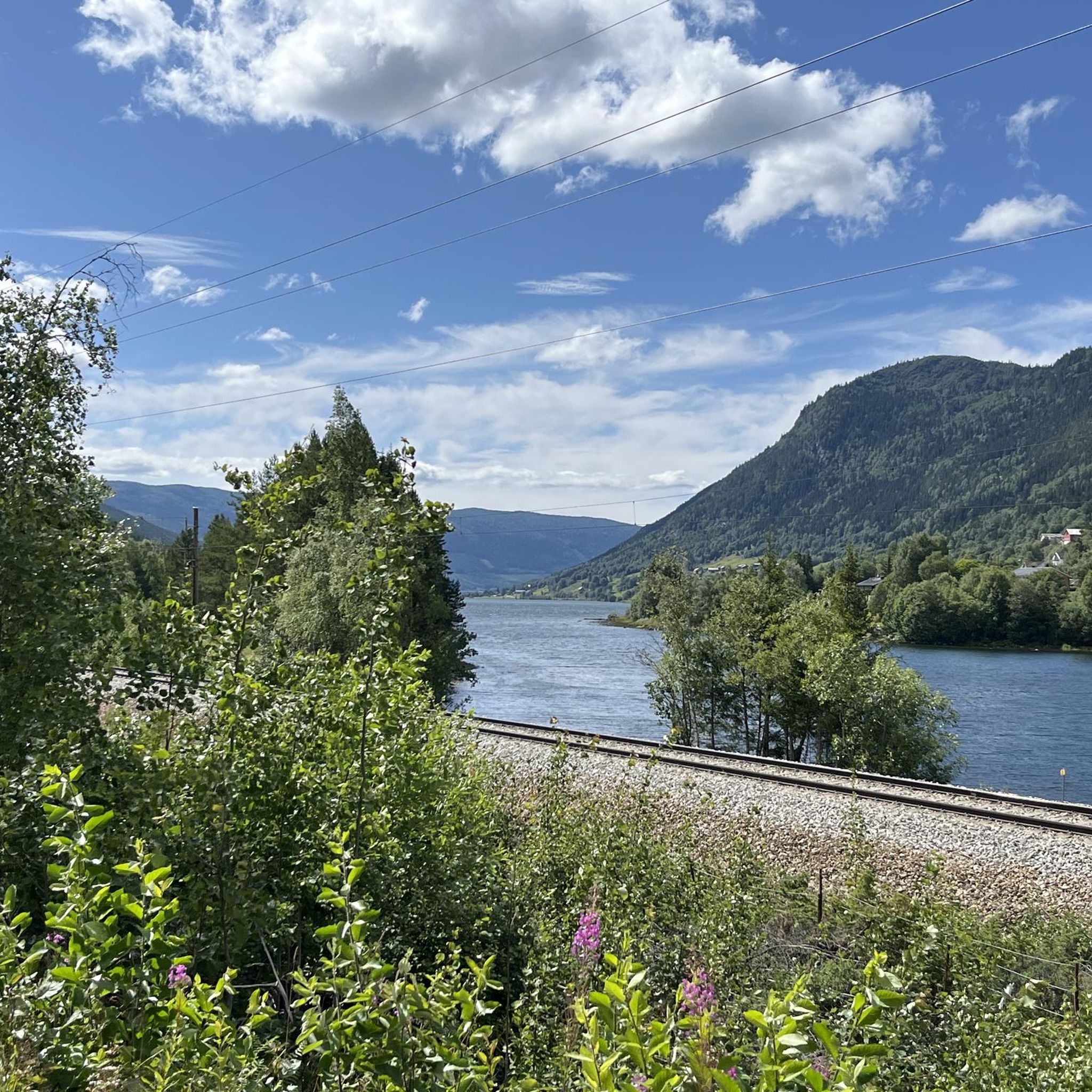
Nice bridge and good connection across the end of Strandafjord.
0
0
Super nice little road, almost flat and away from traffic.
2
0
Beautiful section with quiet streets away from traffic.
0
0
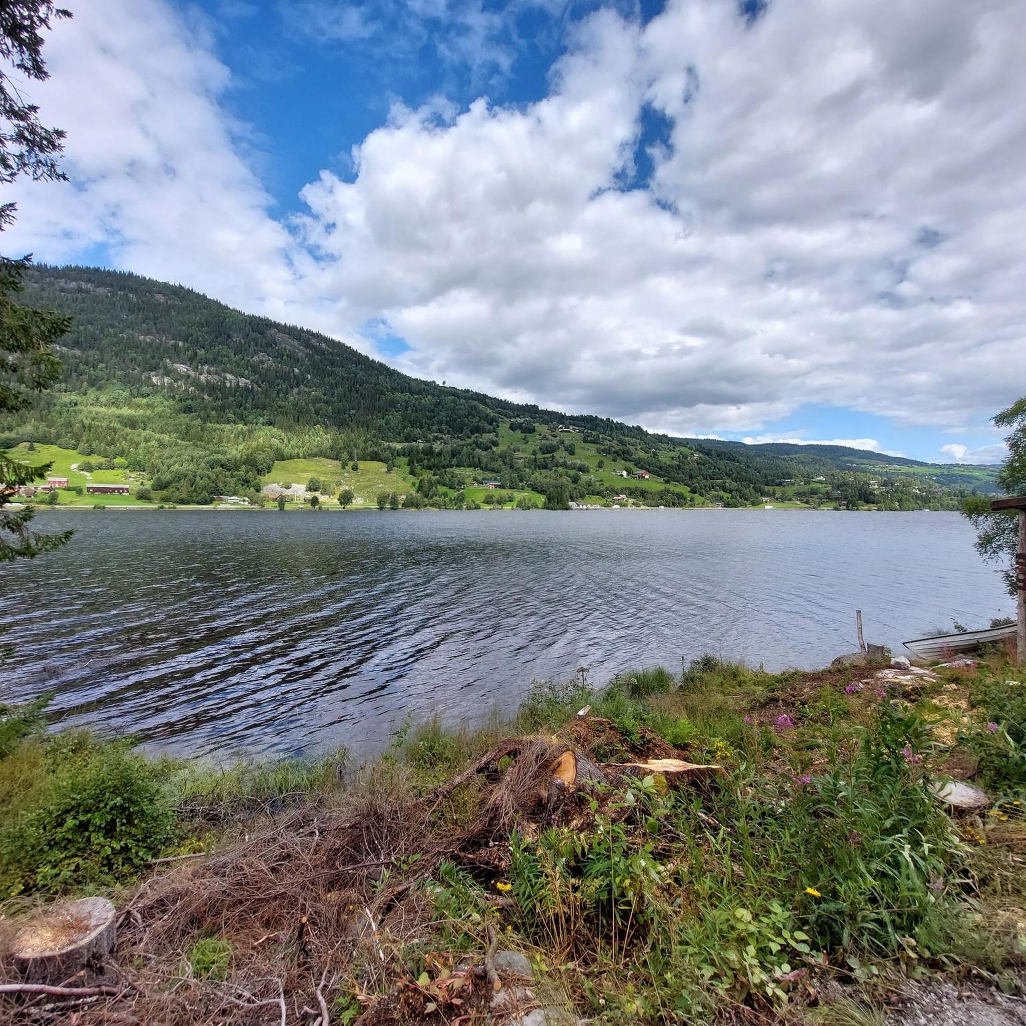
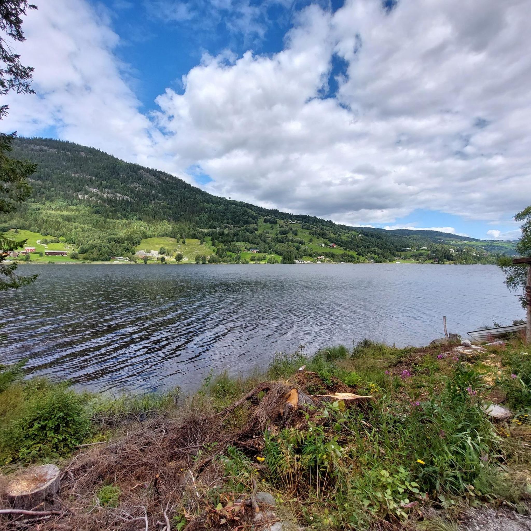
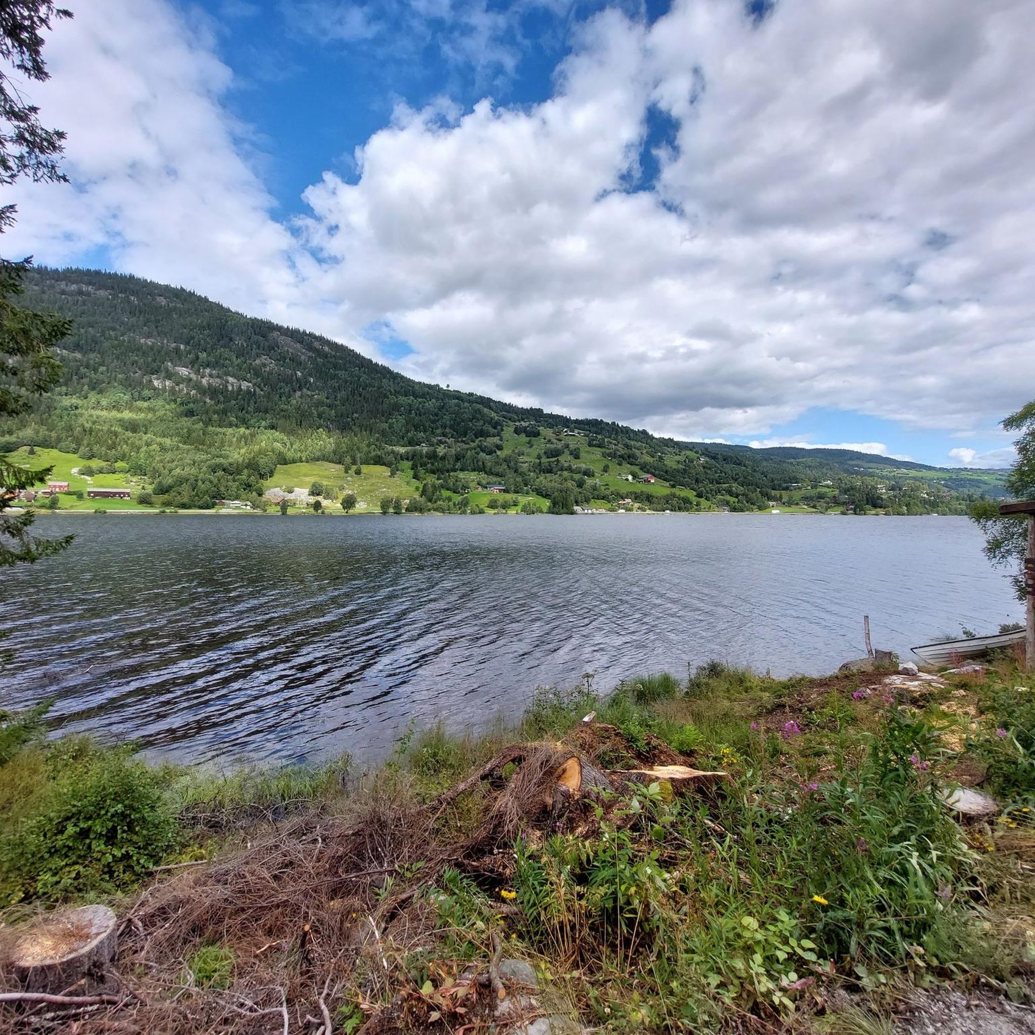
Nice to drive along the Strandafjord - no cars - sometimes it is possible to see the Strandafjord from the road - otherwise there are mostly trees and bushes that block the view.
1
0
Climbing park / high ropes course in Ål located by the river and a bit in the forest. The climbing park is part of a park called "Høyt & Lavt" With zip line, zipline over the river, playground, slides, climbing wall, animal park, canoeing - in winter there are various cross-country ski trails, a toboggan run and an ice skating rink. Overnight stay at the park is also possible. The largest and most intense climbing garden north of Oslo! Many routes of different levels of difficulty. Mini routes for the little ones, extreme routes for the really tough and medium routes for the whole family. - https://hoytlavt.no/hallingdal - https://www.visitnorway.de/reiseziel/ostnorwegen/hallingdal/listings-hallingdal/hoch-und-tief-aktivitatspark-hallingdal/38337/
0
0
Beautiful narrow bridge over the Hallingdalselve river - Vangebrue from 1953.
0
0

You can follow the main route (number 7) but the one we show here is also signposted 4 and 5 for national cycling routes. Very good fitness required
1
0
Frequently Asked Questions
What kind of natural attractions can I explore around Strandafjorden?
The Strandafjorden region offers diverse natural beauty across two distinct areas. In Ål municipality, you can enjoy the tranquil Strandafjord Lakeside Path, which provides a peaceful experience along the lake. The Hallingdalselva river system is also a prominent feature. In the Valdres region, the Strondafjorden lake itself is a central natural attraction, and you can also visit the impressive Faslefoss Waterfall, a 37-meter tall waterfall at the south end of Strondafjorden.
Are there any historical or cultural sites to visit?
Yes, the region has several points of historical and cultural interest. In Ål, you can see the Vangebrue Bridge, a beautiful narrow bridge built in 1953 over the Hallingdalselva river. In the Valdres region, explore the Valdres Folkemuseum near Fagernes, which offers insights into local culture and history. You can also find the historic Strand Church in Synnstrond and the disused Fagernes Railway Station, a relic from the Valdres Line.
What family-friendly activities are available around Strandafjorden?
For families, Høyt & Lavt Hallingdal Adventure Park in Ål is a fantastic option. It features zip lines, a playground, slides, a climbing wall, and even an animal park, with routes of varying difficulty for all ages. Additionally, the "Elvelangs in Ål" path is an idyllic 3-kilometer hike or bike tour along the Hallingdal river, which is wheelchair and stroller-friendly and includes an obstacle course and playground at Bråta Sports Park.
Are there accessible paths for wheelchairs or strollers?
Yes, the "Elvelangs in Ål" path is specifically designed to be wheelchair and stroller-friendly. This 3-kilometer route along the Hallingdal river offers viewpoints, fishing spots, and swimming areas, making it accessible for everyone.
What outdoor activities, like hiking or cycling, can I do near these attractions?
The Strandafjorden area offers numerous opportunities for outdoor activities. You can find various cycling routes, including easy loops like the "Vangebrue Bridge – Hallingdalselve-Uferweg loop" or more challenging options like the "Strandafjord Lakeside Path – National Cycle Route 4 and 5 loop." For hiking, there are easy trails such as the "Dam on the Hallingdalselva loop" or moderate routes like the "Vangebrue Bridge – View of Kulufossen loop." You can explore more options on the Cycling around Strandafjorden and Hiking around Strandafjorden guide pages.
Can I go fishing in Strandafjorden?
Yes, Strondafjorden (in the Valdres region) is known for fishing. Whitefish and perch are dominant, but trout can also be found. Fishing from a boat is recommended, and boat rentals are available at Fagernes Campingpark and Leira Camping. There are also accessible areas from land, such as where the Neselva river meets Strondafjorden in Fagernes park. A fishing license for Strondafjorden also covers the Neselva river up to the Kvitvella waterfall.
What do visitors enjoy most about the Strandafjorden area?
Visitors particularly appreciate the peaceful experience offered by paths like the Strandafjord Lakeside Path, which is almost flat and away from traffic. The scenic views along the Hallingdalselva river and the connection provided by the historic Vangebrue Bridge are also highly valued. For active visitors, the varied routes and difficulty levels at Høyt & Lavt Hallingdal Adventure Park are a big draw.
Are there any specific viewpoints or scenic spots?
Absolutely. The "Elvelangs in Ål" path features several viewpoints along the Hallingdal river where you can take a rest and enjoy the scenery. The Strandafjord Lakeside Path also offers glimpses of the Strandafjord, though sometimes views are partially obscured by trees. Additionally, the National Cycle Route 4 and 5 – Waterfall Section is noted for its beautiful views, including a waterfall.
What winter activities are available in the Strandafjorden area?
In winter, Høyt & Lavt Hallingdal Adventure Park transforms into a winter wonderland, offering various cross-country ski trails, a toboggan run, and an ice-skating rink, catering to different skill levels and ages.
Can I bring my dog on trails around Strandafjorden?
While specific dog-friendly trail designations are not universally listed for every path, many outdoor areas in Norway are generally welcoming to dogs on leash. Paths like the Strandafjord Lakeside Path and "Elvelangs in Ål" are popular for walks and are often suitable for dogs, provided they are kept under control.
What is the best time of year to visit Strandafjorden?
The best time to visit depends on your preferred activities. Summer (June to August) is ideal for hiking, cycling, and water activities on the lakes and rivers. The adventure park is fully operational, and paths are clear. Winter offers unique opportunities for snow-based activities like cross-country skiing and tobogganing, particularly around Høyt & Lavt Hallingdal Adventure Park.
Most popular routes around Strandafjorden

Get inspired with the komoot mobile app


Explore more
Still not found the Highlight you’re looking for? See guides of the top attractions in other regions:
