The best road cycling routes in the Monashee Mountains
4.8
(21)
1,344
riders
94
rides
Road cycling in the Monashee Mountains offers diverse routes across a landscape characterized by towering peaks, old-growth forests, and the Columbia River valley. This region, situated in southern British Columbia, provides varied terrain suitable for different cycling preferences, from mellow riverside paths to challenging mountain ascents. The Monashee Mountains feature significant elevation changes and scenic vistas, making it a destination for road cyclists seeking both endurance and natural beauty.
Best road cycling routes in the Monashee Mountains
- The most popular…
Last updated: July 9, 2026
5.0
(3)
61
riders
Moderate road ride. Good fitness required. Mostly well-paved surfaces and easy to ride.
5.0
(2)
50
riders
76.4km
04:02
920m
920m
Hard road ride. Very good fitness required. Mostly well-paved surfaces and easy to ride.

Sign up for free
58
riders
98.4km
05:30
980m
980m
Hard road ride. Very good fitness required. Mostly well-paved surfaces and easy to ride.
49
riders
93.5km
04:19
1,130m
1,130m
Hard road ride. Very good fitness required. Mostly well-paved surfaces and easy to ride.
5.0
(1)
44
riders
44.5km
02:14
500m
500m
Moderate road ride. Good fitness required. Mostly well-paved surfaces and easy to ride.
45
riders
Moderate road ride. Good fitness required. Some segments of this route may be unpaved and difficult to ride.
5.0
(1)
31
riders
32.5km
01:46
380m
380m
Moderate road ride. Good fitness required. Mostly well-paved surfaces and easy to ride.
35
riders
101km
05:41
1,410m
1,410m
Hard road ride. Very good fitness required. Some segments of this route may be unpaved and difficult to ride.
5.0
(2)
34
riders
52.7km
03:03
650m
650m
Moderate road ride. Good fitness required. Some segments of this route may be unpaved and difficult to ride.
31
riders
92.4km
05:38
1,570m
1,570m
Hard road ride. Very good fitness required. Mostly well-paved surfaces and easy to ride.
Get access to more routes and recommendations from other explorers.
Sign up for free
Already have an account?
Our route recommendations are based on thousands of hikes, rides, and runs completed by other people on komoot.
Start today with a free account
Your next adventure awaits.
Login or Signup
Popular around Monashee Mountains

Pacific Northwest National Scenic Trail — From Alpine to Alava through the untamed Northwest

Cross Canada Ride — heading east for 6,800km

BC Epic 1000

Vancouver roundtrip — Bikepacking British Columbia

Canada by train – scenic hikes from Western stations

Pacific charm and peak happiness in British Columbia

Forests, desert, wilderness - day tours in British Columbia

Unforgettable MTB Adventures – IMBA Epic Trails in USA and Canada
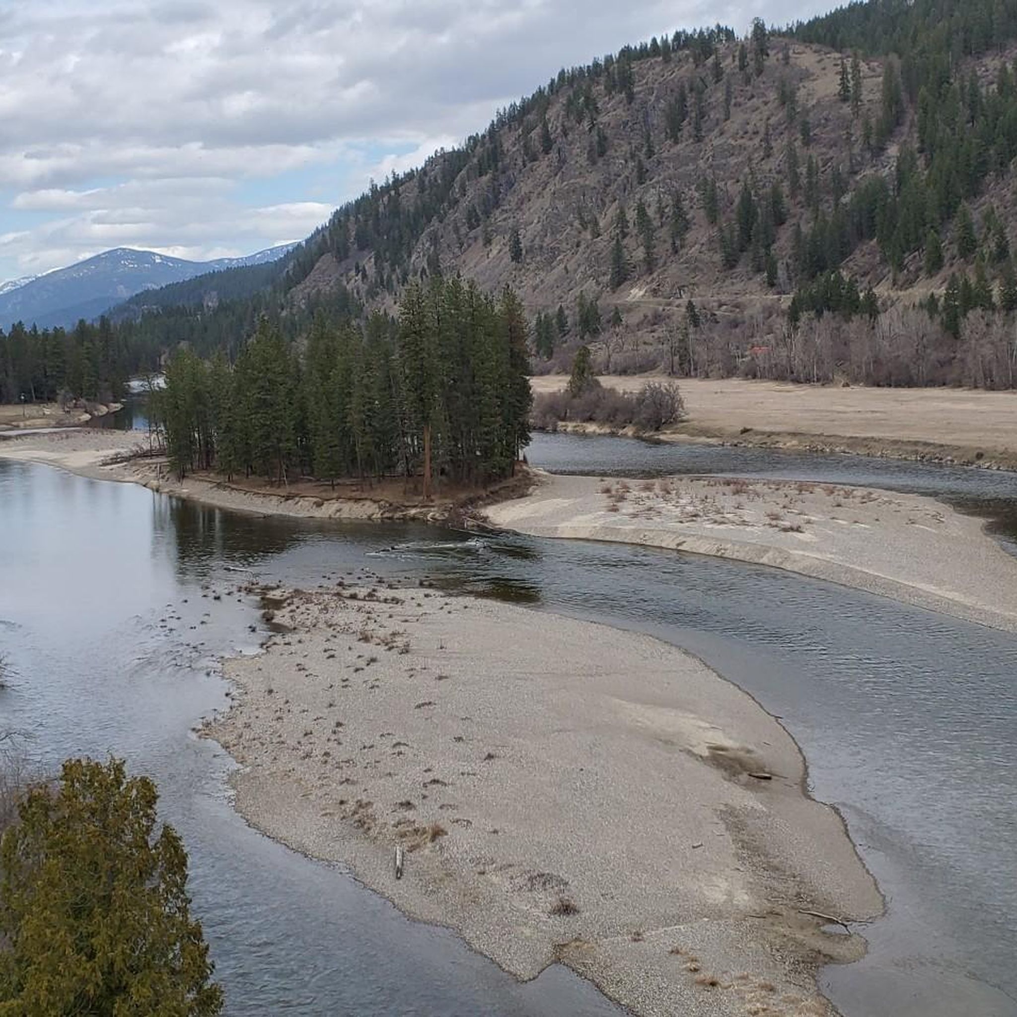
Hiking in the Monashee Mountains
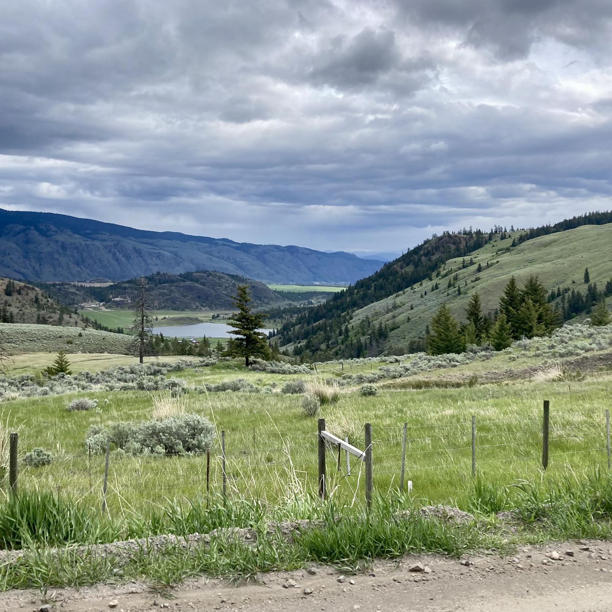
Cycling in the Monashee Mountains
Other adventures in the Monashee Mountains


Tips from the Community

Carney Pond is a cattail-filled marsh, part of the area's key wetland that is slowly disappearing. This pond is home to quite a few bird species and the western painted turtle. Some animals live here for all their lives, while others make it a migratory rest stop or seasonal nesting spot.
0
0
The Okanagan Rail Trail brings hikers and bikers along the west side of the Kelowna Airport. This is an international airport, and the trail is quite close to the runway, so it's an exciting spot to watch airplanes take off and land. Just outside the airport are a few places to grab a bite to eat and a Tim Hortons for drinks.
0
0

Vehicle access ends here and the trails begin. Knox Mountain Park has a variety of trails but the majority of them have little shade cover, so taking the proper precautions in the summer is essential to having a good day out on the trails.
0
0
Kal Beach is a sandy lakefront beach with a fishing pier, swimming access, kayak rentals, and picnic tables. In the summer, it's great for a dip, easy to walk barefoot on the fine sand, and there's a long, shallow stretch perfect for young kids to splash around. Beachgoers can also enjoy the scenic views over Kalamalka Lake from the Kal Beach Pier.
0
0

Sun-Oka Beach Provincial Park is a 30-hectare park situated on the shores of Okanagan Lake. It features a large, south-facing beach that is perfect for swimming. The park also offers amenities such as a playground, fire pits, picnic tables, water fountains, and watersport rentals.
0
0
Trout Creek is a small yet vital river located just south of Summerland, serving as the primary water source for the district. Further upstream, the creek becomes a popular destination for whitewater kayaking in the dramatic Trout Creek Canyon.
0
0

This is a fantastic vantage point with a sweeping panorama of the lake and rolling hills that define the region. If you're lucky enough to visit in the evening, it’s a beautiful spot to see the city during sunset.
0
0

Frequently Asked Questions
How many road cycling routes are available in the Monashee Mountains?
There are over 95 road cycling routes in the Monashee Mountains, catering to various skill levels. This includes 19 easy, 56 moderate, and 20 difficult routes, ensuring options for every cyclist.
What kind of terrain and elevation can I expect on road cycling routes in the Monashee Mountains?
The Monashee Mountains offer diverse terrain, from mellow riverside paths with minimal elevation gain to challenging mountain ascents. You'll find routes like Airport Way, which is relatively flat, alongside demanding climbs such as the Kal Beach – Best Poutine Spot loop from Robert's Lake Regional Park, which features over 1,300 meters of elevation gain.
Are there any easy road cycling routes suitable for beginners in the Monashee Mountains?
Yes, the Monashee Mountains offer several easy routes perfect for beginners or those seeking a relaxed ride. For instance, Airport Way provides a mellow 32 km return trip along the Columbia River with minimal elevation, offering stunning views of Mount Begbie and the Monashee Mountains. The Kettle Valley Rail Trail also offers mostly flat sections accessible to all skill levels.
Which road cycling routes offer significant elevation gain for a challenging ride?
For cyclists seeking a challenge, routes like the Best Poutine Spot loop from Ecologically Sensitive Area feature over 1,500 meters of elevation gain. The Meadows in the Sky Parkway in Mount Revelstoke National Park is another iconic, challenging 26 km paved climb to the 2,000m summit, rewarding riders with breathtaking alpine vistas.
What are some of the most scenic viewpoints or natural features I can see while road cycling in the Monashee Mountains?
Road cycling in the Monashee Mountains offers numerous scenic opportunities. You can enjoy views of the iconic Mount Begbie, the Columbia River valley, and vast old-growth forests. Highlights include the Myra Canyon Wooden Trestle Bridges on the Kettle Valley Rail Trail, and the vibrant alpine meadows found at higher elevations, particularly from early summer through August. You might also spot View of Sherman Peak or Unnecessary Ridge.
Are there any family-friendly road cycling options in the Monashee Mountains?
Absolutely. Routes with minimal elevation gain, such as Airport Way, are excellent for families. The Kettle Valley Rail Trail, with its mostly flat sections and historic trestle bridges, also provides a safe and enjoyable experience for cyclists of all ages and skill levels.
What is the best time of year for road cycling in the Monashee Mountains?
The best time for road cycling in the Monashee Mountains is typically from late spring through early fall. Summer months offer warm weather and the chance to see vibrant wildflowers in the alpine meadows. However, the region is also known for its significant snowpack, so some higher elevation routes may only be accessible later in the season.
Are there any long-distance road cycling routes in the Monashee Mountains?
Yes, the Monashee Mountains offer several long-distance routes. Highway 23 North, known as "The Road to Nowhere," is a 150 km one-way paved route offering an almost traffic-free experience with incredible views. Another option is Highway 23 South, a 52 km one-way paved highway following the Columbia River valley, leading to Shelter Bay Provincial Park.
Are there any road cycling routes that are loop trails in the Monashee Mountains?
Many routes in the Monashee Mountains are designed as loops. For example, the Okanagan Valley Viewpoint – Tim Hortons and IFresh Café loop from Glenmore is a popular 72.8 km loop. Another option is the Best Poutine Spot loop from Woodsdale, a shorter 30.4 km trail.
What do other road cyclists enjoy most about road cycling in the Monashee Mountains?
The Monashee Mountains are highly rated by the komoot community, with an average score of 4.8 stars from over 10 reviews. Cyclists frequently praise the stunning scenery, varied terrain, and the sense of peace found amidst the towering peaks and old-growth forests. The minimal traffic on many routes is also a significant draw.
Are there any waterfalls or lakes accessible near road cycling routes?
Yes, the region is rich with natural water features. You can find Margaret Falls, and the Monashee Provincial Park is home to Spectrum Lake and other smaller lakes known for fishing. The Columbia River itself is a prominent feature, flowing through Revelstoke and offering scenic views along many cycling paths.
Where can I find parking for road cycling trails in the Monashee Mountains?
Parking availability varies by route. Many trailheads and starting points for popular routes, especially those near towns like Revelstoke or within provincial parks, offer designated parking areas. For specific routes, it's advisable to check the route details on komoot for information on starting points and parking facilities.
Are there opportunities to stop for food or drinks along road cycling routes?
Yes, some routes incorporate stops at cafes or towns. For example, the Okanagan Valley Viewpoint – Tim Hortons and IFresh Café loop from Glenmore explicitly mentions a stop at a cafe. While many routes traverse natural, less developed areas, towns like Revelstoke offer various amenities. It's always a good idea to plan your stops and carry sufficient supplies, especially on longer or more remote rides.
Most popular routes in the Monashee Mountains
Most popular attractions in the Monashee Mountains

Get inspired with the komoot mobile app


Explore more
Browse the best Road cycling routes in other regions.
