The best traffic-free bike rides around El Real De San Vicente
20
riders
3
rides
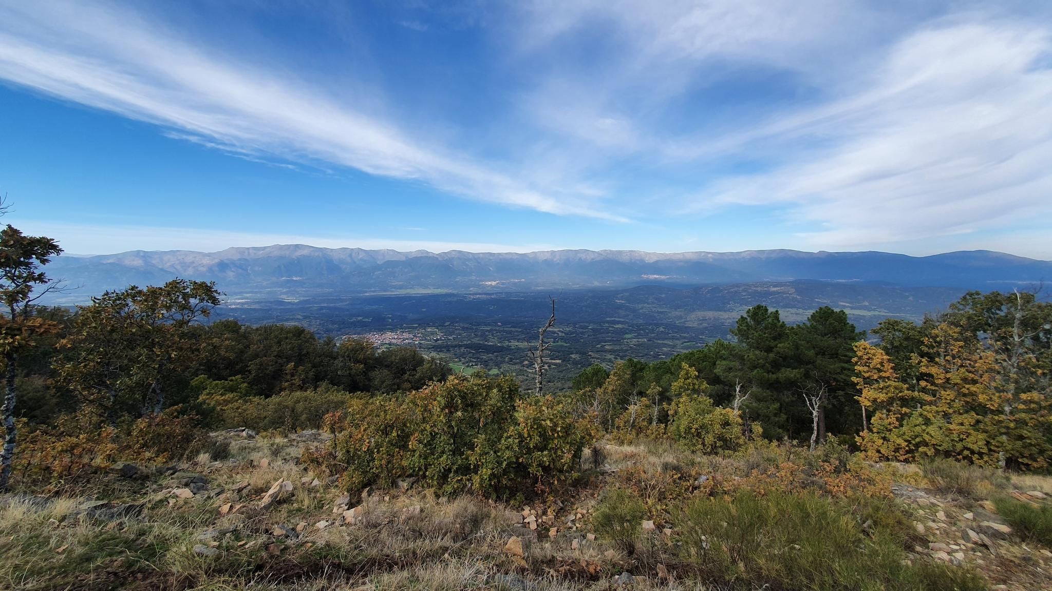
Gravel biking around El Real De San Vicente offers diverse landscapes within the Sierra de San Vicente, characterized by mountainous terrain, significant elevation changes, and granite outcrops. The region features dehesas, open woodlands dominated by holm oak and cork oak, and extensive chestnut forests, particularly vibrant in autumn. Situated between the Tagus and Tiétar river basins, the area provides varied riding surfaces and scenic views, making it suitable for challenging gravel routes.
Best no traffic gravel bike trails around El…
Last updated: October 12, 2026
4
riders
24.3km
01:50
240m
240m
Moderate gravel ride. Good fitness required. Mostly paved surfaces. Suitable for all skill levels.
3
riders
45.1km
03:46
980m
980m
Hard gravel ride. Very good fitness required. Mostly paved surfaces. Suitable for all skill levels.

2
riders
Hard gravel ride. Very good fitness required. Mostly paved surfaces. Suitable for all skill levels.
Our route recommendations are based on thousands of hikes, rides, and runs completed by other people on komoot.
Start today with a free account
Your next adventure awaits.
Popular around El Real De San Vicente

Other adventures around El Real De San Vicente

Tips from the Community

On this section of the GR-63, the Viriato trail runs along easy paths between farms and meadow vegetation. From the clearings, you can enjoy views of the nearby mountains.
0
0
Sotillo de las Palomas is a small rural enclave in the middle of the pastureland at the foot of the San Vicente mountain range. It was established as an independent town in the 17th century. The same century as the Church of the Immaculate Conception, which is adorned inside with a Baroque altarpiece.
0
0


The Mosquea Bridge is located in La Adrada, Ávila, and is part of the Medieval Bridges Route that crosses the Tiétar River. It's an ideal place to enjoy a peaceful walk surrounded by nature, with views of beautiful holm oaks, pines, and junipers. The route is easy to walk and suitable for almost everyone.
5
0

They have also painted and covered all the signs and posters that indicated the GR or hiking routes. I didn't know that you could prevent passage through a GR
0
0
On the way up to Pico Cruces on this side they have built a wall and put up a no-entry sign.
0
0
At this point on the GR of the Senda Viriato they have built a stone wall with a no entry sign. As of May 19, 2024. We passed by the side because we couldn't turn around. You can continue without problem, the only thing is that on the way up to Pico Cruces there is another similar wall so you have to continue along the main track.
0
0

Frequently Asked Questions
How many no-traffic gravel bike trails are available around El Real De San Vicente?
There are three dedicated no-traffic gravel bike trails detailed in this guide, offering a mix of moderate and difficult routes. These trails are designed to provide a serene cycling experience away from vehicular traffic, allowing you to fully immerse yourself in the natural beauty of the Sierra de San Vicente.
What kind of terrain can I expect on these gravel bike trails?
The trails around El Real de San Vicente feature diverse terrain, typical of the Sierra de San Vicente. You'll encounter mountainous sections with significant elevation changes, granite outcrops, and dehesas (open woodlands with holm and cork oaks). Some routes also traverse the extensive chestnut forest, offering varied surfaces from smooth paths to unpaved sections, perfect for gravel biking.
Are there any easy gravel bike routes for beginners or families?
While the guide focuses on routes with moderate to difficult ratings, the Puente Chico – Puente Mosquea loop from Fresnedilla is classified as moderate. It covers about 24 km with a manageable elevation gain, making it a good option for those looking for a less strenuous ride compared to the more challenging routes in the area. The region's natural beauty and quiet paths are generally suitable for family outings, though riders should be comfortable with some climbs.
What are some scenic viewpoints or attractions along the gravel trails?
Many trails offer stunning views of the Tiétar valley and the plains towards Toledo. You can find picturesque spots like El Piélago Pass, which offers expansive vistas. The Trail through Monte Peladas – Puerto del Piélago loop from Navamorcuende will take you through the extensive chestnut forest, which is particularly beautiful in autumn. You might also encounter the historic Puente Mosquea.
When is the best time of year to go gravel biking in El Real De San Vicente?
The region is beautiful year-round, but late October is particularly stunning when the chestnut forest, the largest in Castilla-La Mancha, turns golden. Spring and early autumn generally offer pleasant temperatures for cycling. Summers can be warm, especially at lower elevations, while winters might bring cooler temperatures and potentially some snow at higher altitudes, though conditions are generally manageable for gravel biking.
Are there any circular gravel bike routes available?
Yes, all three routes featured in this guide are circular, allowing you to start and end at the same point. For example, the Puente Chico – Puente Mosquea loop from Fresnedilla, the Trail through Monte Peladas – Puerto del Piélago loop from Navamorcuende, and the Santa María de la Nava – Almendral de la Cañada loop from Almendral de la Cañada are all designed as loops for your convenience.
What are the most challenging gravel bike trails in this area?
For experienced gravel bikers seeking a challenge, the Trail through Monte Peladas – Puerto del Piélago loop from Navamorcuende and the Santa María de la Nava – Almendral de la Cañada loop from Almendral de la Cañada are both rated as difficult. These routes feature significant elevation gains, with the Monte Peladas loop climbing nearly 1000 meters over 45 km, offering strenuous climbs and rewarding descents.
Can I find places to eat or drink along the routes?
While the guide focuses on no-traffic trails, many routes pass through or near small villages like Navamorcuende or Almendral de la Cañada, where you might find local cafes or restaurants. It's always a good idea to carry sufficient water and snacks, especially on longer or more remote sections, as facilities might not be directly on the trail.
What kind of natural features define the landscape for gravel biking here?
The landscape is defined by its mountainous character, being part of the Sierra de San Vicente and an outlier of the Sierra de Gredos. You'll ride through granite outcrops, extensive dehesas of holm and cork oaks, and the region's notable chestnut forests. The area is also situated between the Tagus and Tiétar river basins, contributing to its diverse natural environment and scenic beauty.
Are there any specific highlights or landmarks I should look out for?
Beyond the natural beauty, you can look for specific highlights such as Puente Mosquea, an old bridge, or the summit of San Vicente Hill (1320m) for panoramic views. The El Piélago Pass is another notable point offering great vistas. These points are often integrated into or accessible from the gravel routes.
What makes El Real de San Vicente a good destination for no-traffic gravel biking?
El Real de San Vicente is ideal for no-traffic gravel biking due to its extensive network of unpaved roads and trails that wind through diverse natural settings. The mountainous terrain provides challenging climbs and exhilarating descents, while the dehesas, oak forests, and chestnut groves offer stunning, quiet environments away from main roads. The region's focus on outdoor activities means many paths are well-suited for gravel bikes, ensuring a peaceful and immersive experience.
Most popular routes around El Real De San Vicente
Most popular attractions around El Real De San Vicente

Get inspired with the komoot mobile app


Explore more
Browse the best Gravel rides in other regions.
