The best volcano hikes and walks around National Park Cabo de Gata-Níjar
4.4
(3025)
12,594
hikers
6
hikes
Volcano hiking trails around National Park Cabo de Gata-Níjar are characterized by a unique blend of volcanic landscapes and rugged coastline. The terrain features sharp peaks, ancient lava flows, and dramatic cliffs that meet the Mediterranean Sea. Inland, the environment transitions to arid valleys and a semi-desert interior, shaped by its volcanic origins. Hikers can explore diverse geological formations, including ochre rocky cliffs and fossil dunes.
Best volcano hiking trails around National Park Cabo de Gata-Níjar
- The most popular volcano hiking route is Granatilla Volcano – Isabel II Reservoir loop from Aparcamiento del volcán El Hoyazo, a 7.3 miles (11.8 km) trail that takes 3 hours 27 minutes to complete. This moderate route explores volcanic formations and leads to the Isabel II Reservoir.
- Another top favourite among local hikers is Granatilla Volcano loop from Aparcamiento del volcán El Hoyazo, an easy 3.3 miles (5.3 km) path. This trail offers accessible views of the Granatilla Volcano.
- Local hikers also love the Granatilla Volcano – Granadilla Crater loop from Aparcamiento del volcán El Hoyazo, a 2.1 miles (3.4 km) trail leading through volcanic terrain and past the Granadilla Crater, often completed in about 1 hour 8 minutes.
- Hiking around National Park Cabo de Gata-Níjar is defined by volcanic peaks, arid valleys, and coastal paths. The network offers options for different ability levels, from easy walks to moderate trails.
- The routes in National Park Cabo de Gata-Níjar are highly rated by the komoot community with an average score of 4.4 stars from over 2,900 reviews. More than 12,000 hikers have used komoot to explore National Park Cabo de Gata-Níjar's varied terrain.
Last updated: August 30, 2026
3.0
(2)
17
hikers
Moderate hike. Good fitness required. Easily-accessible paths. Suitable for all skill levels.
5.0
(2)
4
hikers
1.76km
00:31
50m
50m
Easy hike. Great for any fitness level. Easily-accessible paths. Suitable for all skill levels.

Sign up for free
5.0
(1)
3
hikers
1.76km
00:32
50m
50m
Easy hike. Great for any fitness level. Easily-accessible paths. Suitable for all skill levels.
4.0
(1)
4
hikers
Easy hike. Great for any fitness level. Easily-accessible paths. Suitable for all skill levels.
2
hikers
5.27km
01:35
150m
160m
Easy hike. Great for any fitness level. Easily-accessible paths. Suitable for all skill levels.
Our route recommendations are based on thousands of hikes, rides, and runs completed by other people on komoot.
Start today with a free account
Your next adventure awaits.
Login or Signup
Popular around National Park Cabo de Gata-Níjar
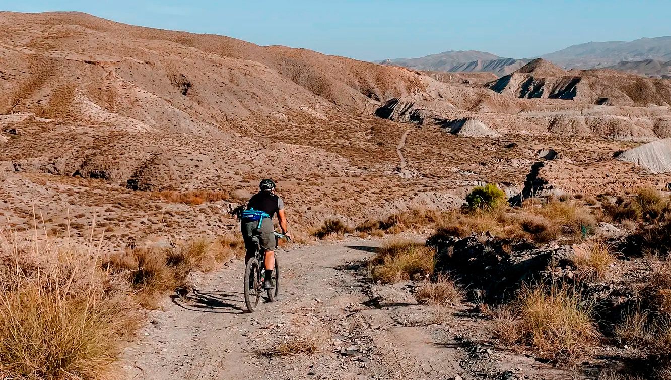
TransAlmería Gravel – Summits, dry riverbeds and deserts
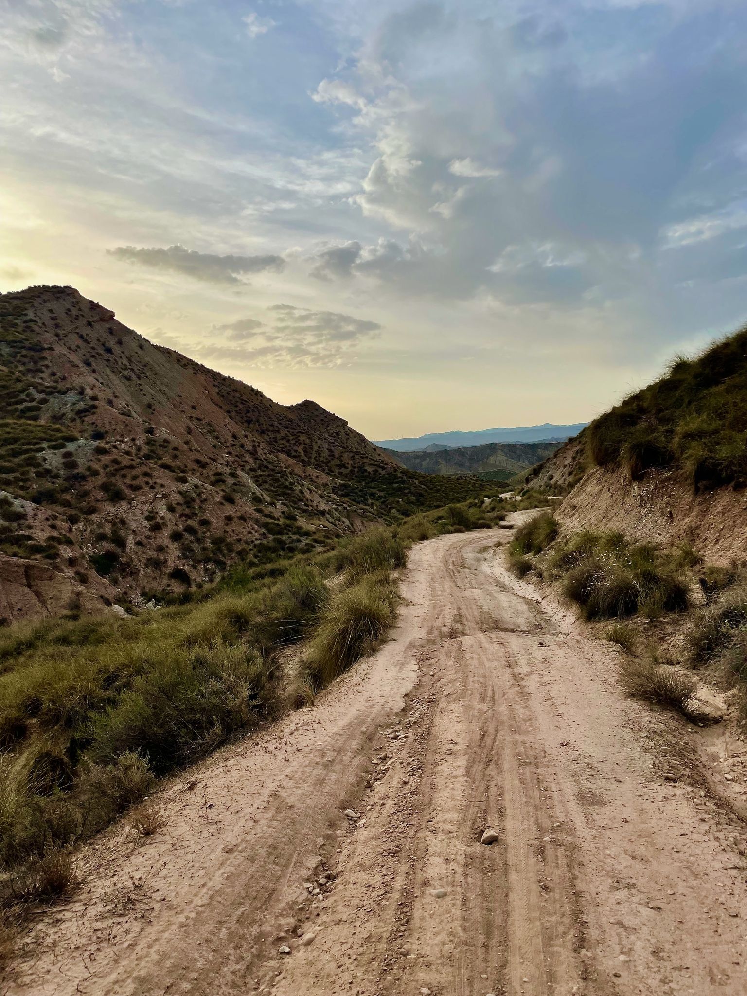
Badlands 2021 — 750km of gravel in the Spanish deserts

On the road to the sun — bikepacking to southeast Spain
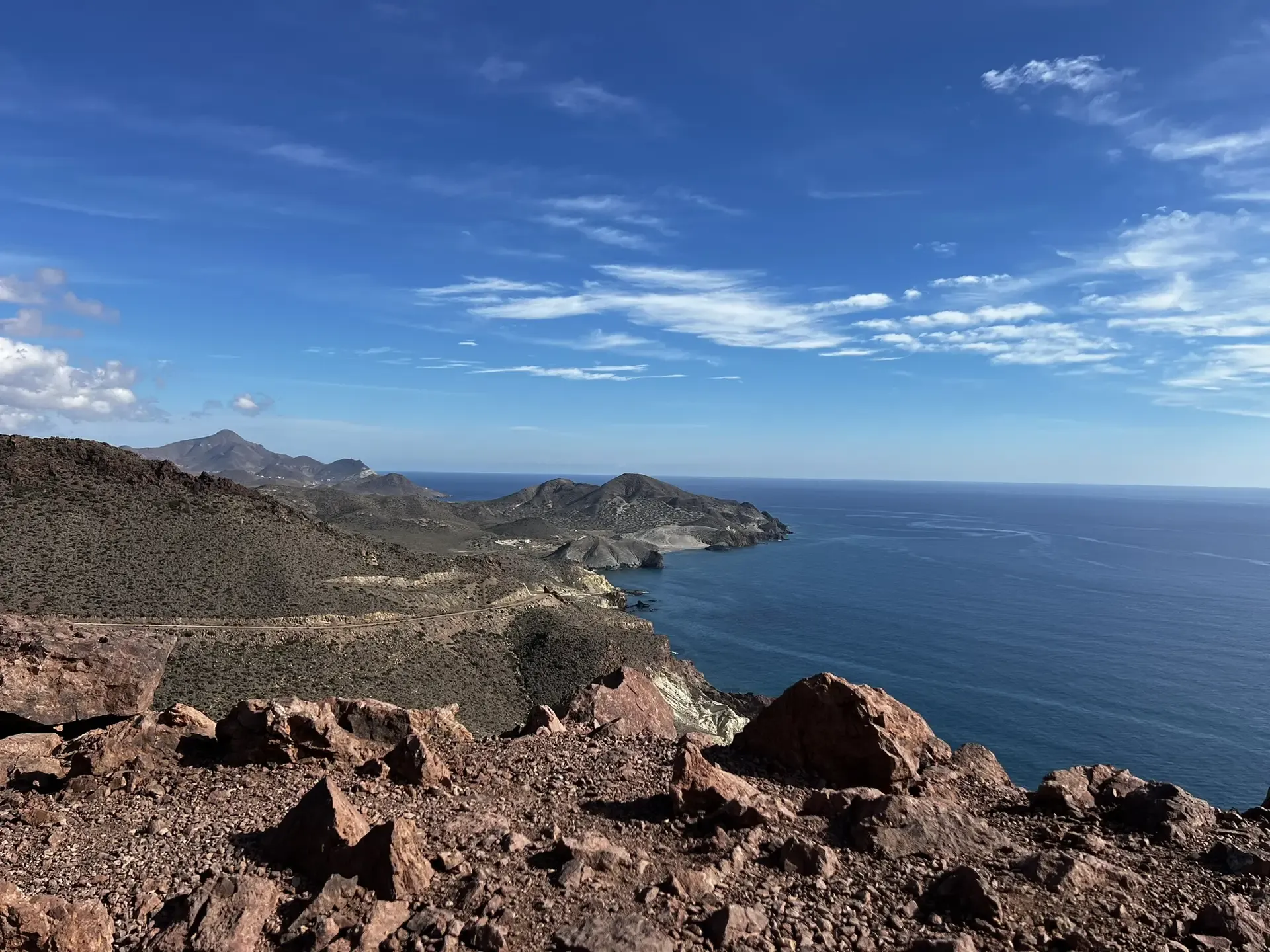
The Wild Side Of Almería — Transalmería By Mountain Bike
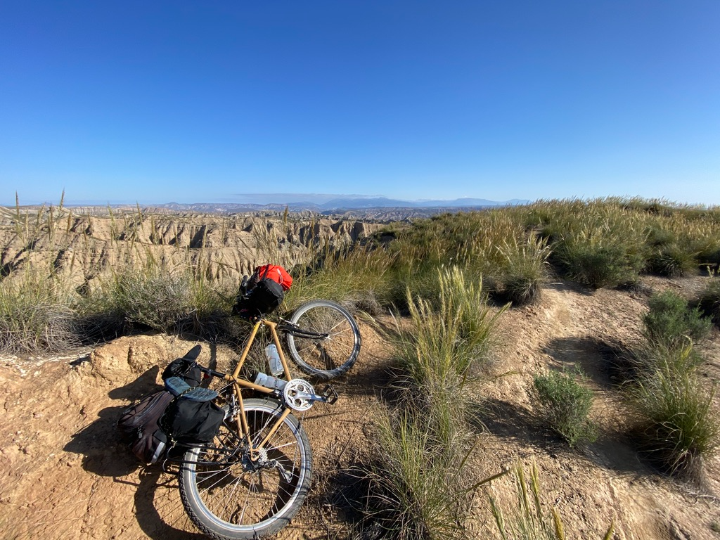
Mountain, Desert and Sea — Andalusian Trilogy
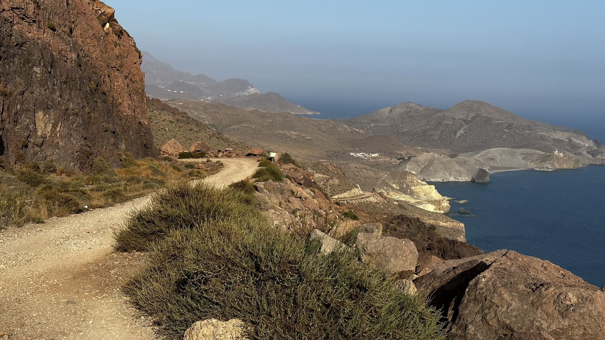
Beaches and desert – TransAlmería by MTB (El Levante)
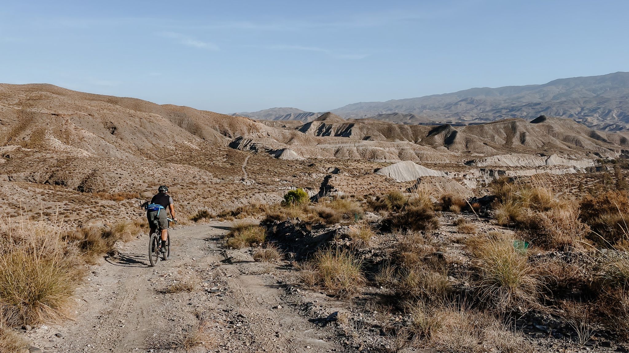
High mountains, desert and sea – an adventure of contrasts in Andalusia
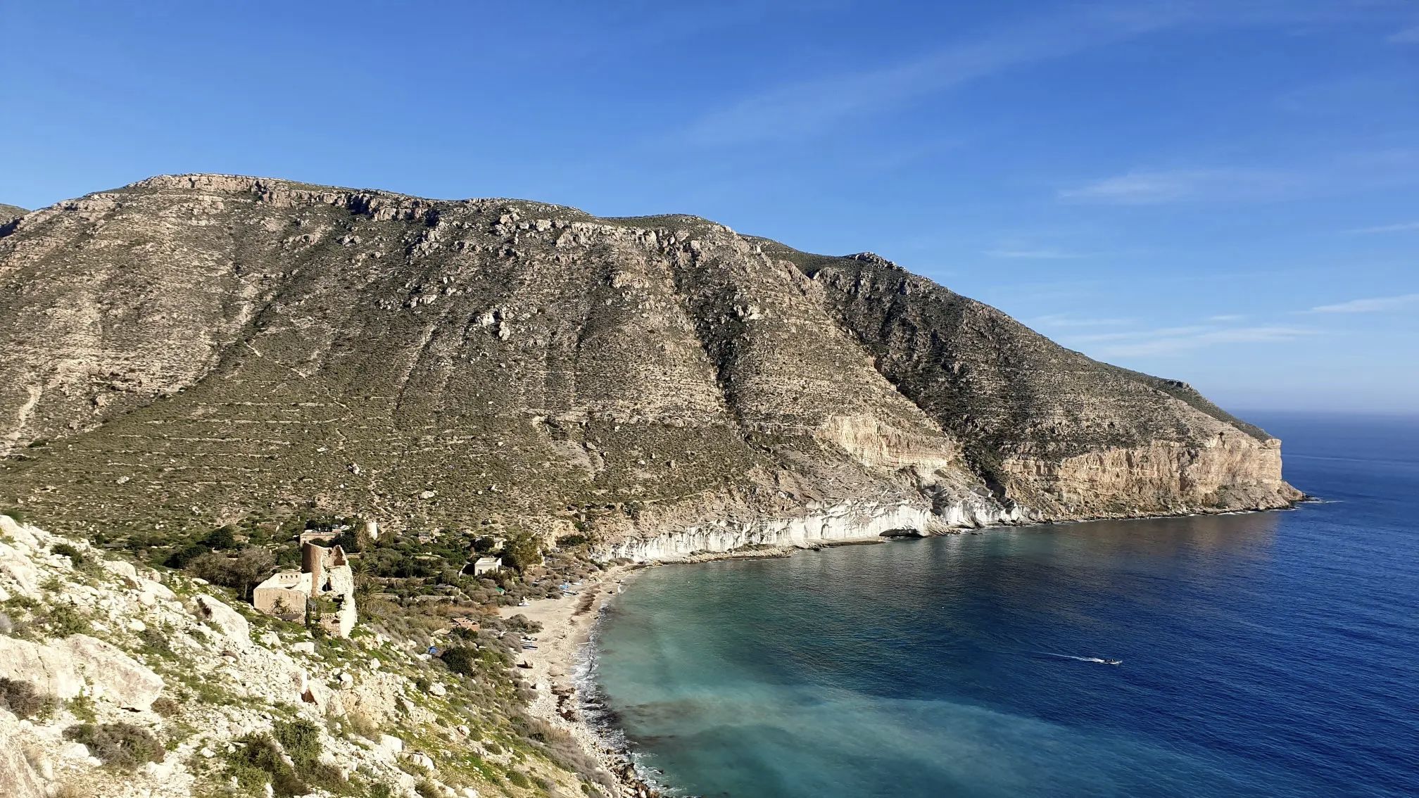
A bike ride that’s like a movie – Natural Park of Cabo de Gata-Níjar

Let’s head south – cycle in Andalusia with me and my dog

Wild and free Andalusia – Transandalus through the interior
Other adventures around National Park Cabo de Gata-Níjar


Tips from the Community

Its origin dates back to about 6.2 million years ago. The crater, located in the town of Níjar, has a conical shape with the cone half collapsed and eroded.
1
0
Inaugurated in 1850, the Isabel II reservoir was a failure due to its scarcity of rainwater and the large amount of mud formed by the sediments. Its initial objective was to irrigate the crops in the fields of Níjar and its surroundings, but it is currently in a poor state of conservation, with part of the structure in ruins. Even so, the place offers impressive views of the Cabo de Gata-Níjar Natural Park,
1
0
Its origin dates back to about 6.2 million years ago. The crater, located in the town of Níjar, has a conical shape with the cone half collapsed and eroded.
3
0
Frequently Asked Questions
How many volcano hiking trails are available in National Park Cabo de Gata-Níjar?
There are currently 6 curated volcano hiking trails in National Park Cabo de Gata-Níjar, offering a unique opportunity to explore the region's dramatic volcanic landscapes.
What are the difficulty levels of volcano hikes in the region?
The volcano hikes in National Park Cabo de Gata-Níjar cater to various fitness levels. You'll find 5 easy routes, perfect for a leisurely exploration of the volcanic terrain, and 1 moderate trail for those seeking a bit more challenge.
Are there any circular volcano walks available?
Yes, several volcano hikes in the region are circular, allowing you to start and end at the same point. For example, consider the Granatilla Volcano – Isabel II Reservoir loop from Aparcamiento del volcán El Hoyazo, which offers a comprehensive exploration of the area's geological features.
What can I see along the volcano hiking trails?
Beyond the striking volcanic formations, you can discover diverse natural features. Many trails offer stunning views of the Mediterranean Sea, and you might encounter unique flora adapted to the arid environment. The Views from the Granatilla viewpoint are particularly noteworthy for panoramic vistas.
Are there any family-friendly volcano hikes in National Park Cabo de Gata-Níjar?
Yes, the park offers several easy volcano hikes suitable for families. Routes like the Granatilla Volcano – Granadilla Crater loop from Aparcamiento del volcán El Hoyazo are shorter and less strenuous, making them ideal for a family outing to experience the unique volcanic landscape.
What do other hikers enjoy most about volcano hiking in National Park Cabo de Gata-Níjar?
The komoot community highly rates the volcano hikes in this region, with an average score of 4.4 stars from over 2,900 ratings. Hikers frequently praise the dramatic volcanic landscapes, the stunning coastal views where the desert meets the Mediterranean, and the unique geological formations.
What are some notable geological features to look out for on these trails?
The volcanic origins of Cabo de Gata-Níjar mean you'll encounter sharp peaks, ancient lava flows, and dramatic cliffs. The Granatilla Volcano loop from Aparcamiento del volcán El Hoyazo is an excellent route to observe these unique geological formations, including fossil dunes and ochre rocky crags.
Is there public transport available to reach the volcano hiking areas?
While public transport options within the National Park can be limited, especially to specific trailheads, some villages within the park are accessible by bus. It's advisable to check local bus schedules in advance or consider driving to the starting points, as many routes begin near designated parking areas.
Where can I park for volcano hikes in the region?
Many volcano trails, such as those around Granatilla Volcano, have designated parking areas. For instance, the Granatilla Volcano – Isabel II Reservoir loop starts from Aparcamiento del volcán El Hoyazo, indicating available parking at the trailhead.
Are there any coastal volcano trails that offer sea views?
While the primary focus is on volcanic features, the park's unique geography means many trails offer glimpses of the rugged coastline. The volcanic cliffs often plunge directly into the Mediterranean, providing spectacular contrasts between the arid land and the blue sea. For coastal views, consider exploring areas near the Collado de la Vela Blanca.
What is the best time of year to hike the volcano trails in Cabo de Gata-Níjar?
The best time to hike the volcano trails is during the cooler months, from autumn through spring (October to May). Summers can be very hot and dry, making longer hikes challenging. Spring offers pleasant temperatures and a chance to see some of the unique desert flora in bloom.
Most popular routes around National Park Cabo de Gata-Níjar
Most popular attractions around National Park Cabo de Gata-Níjar

Get inspired with the komoot mobile app


Explore more
Browse the best Hikes in other regions.
