The best volcano hikes and walks around Campo Tabernas
4.5
(1507)
5,794
hikers
6
hikes
Volcano hiking trails around Campo Tabernas traverse Europe's only true desert, characterized by its arid climate and unique geological formations. The landscape features dramatic badlands, deeply eroded ravines, and sculpted clay hills, resulting from millions of years of erosion on ancient seabed sediments. This region offers a distinct environment for exploring volcanic features and desert terrain. The varying elevations and dry riverbeds provide diverse hiking experiences.
Best volcano hiking trails around Campo Tabernas
- The most popular volcano hiking route is…
Last updated: August 22, 2026
3.0
(2)
16
hikers
Moderate hike. Good fitness required. Easily-accessible paths. Suitable for all skill levels.
5.0
(2)
4
hikers
1.76km
00:31
50m
50m
Easy hike. Great for any fitness level. Easily-accessible paths. Suitable for all skill levels.

Sign up for free
5.0
(1)
3
hikers
1.76km
00:32
50m
50m
Easy hike. Great for any fitness level. Easily-accessible paths. Suitable for all skill levels.
4.0
(1)
3
hikers
Easy hike. Great for any fitness level. Easily-accessible paths. Suitable for all skill levels.
2
hikers
5.27km
01:35
150m
160m
Easy hike. Great for any fitness level. Easily-accessible paths. Suitable for all skill levels.
Our route recommendations are based on thousands of hikes, rides, and runs completed by other people on komoot.
Start today with a free account
Your next adventure awaits.
Login or Signup
Popular around Campo Tabernas
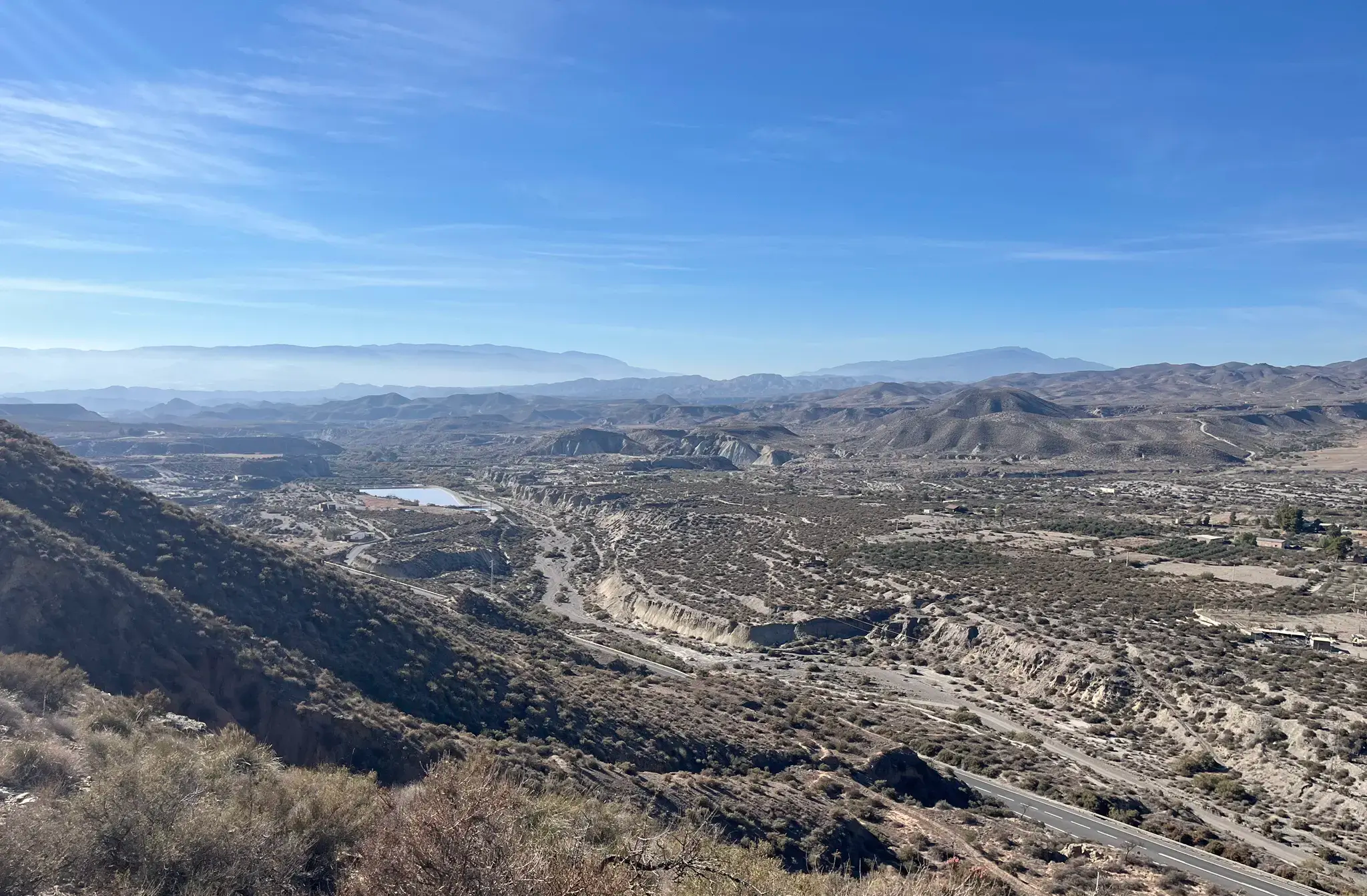
Discover the secrets of Almeria - Inland Villages (GR 244)
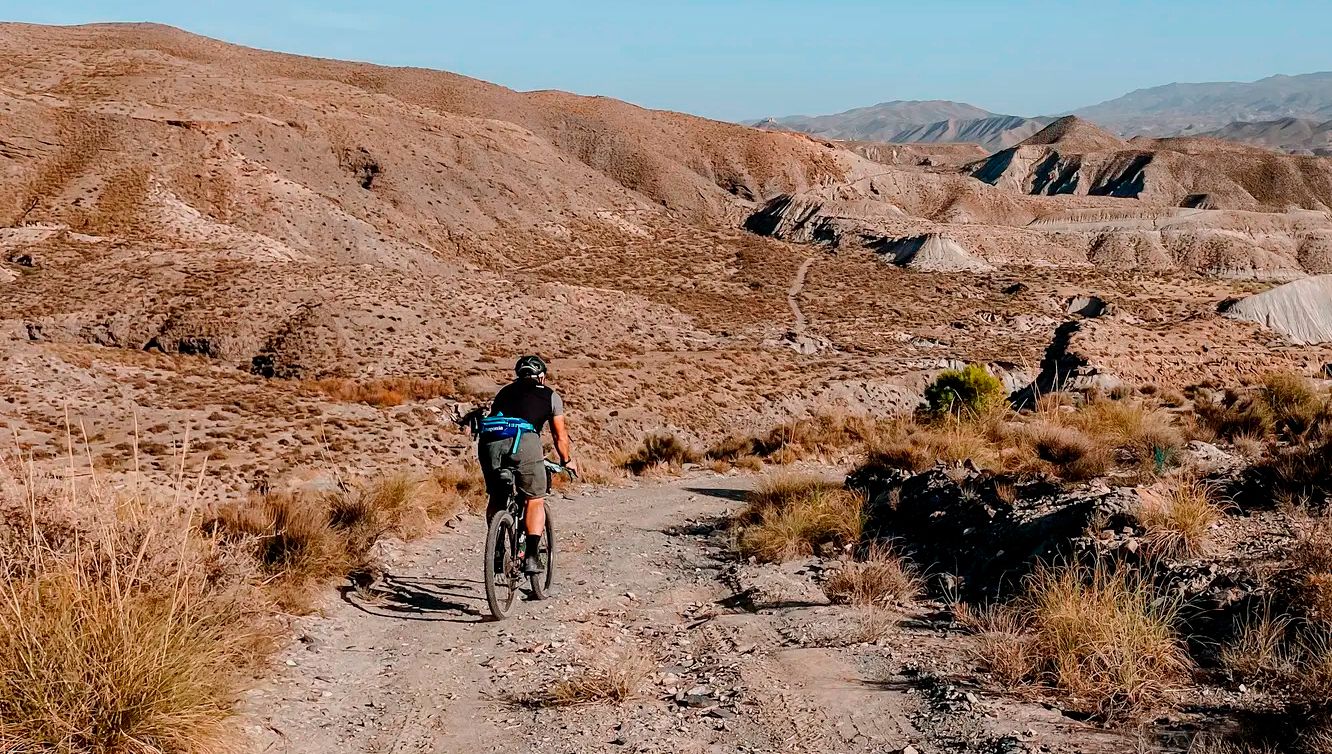
TransAlmería Gravel – Summits, dry riverbeds and deserts
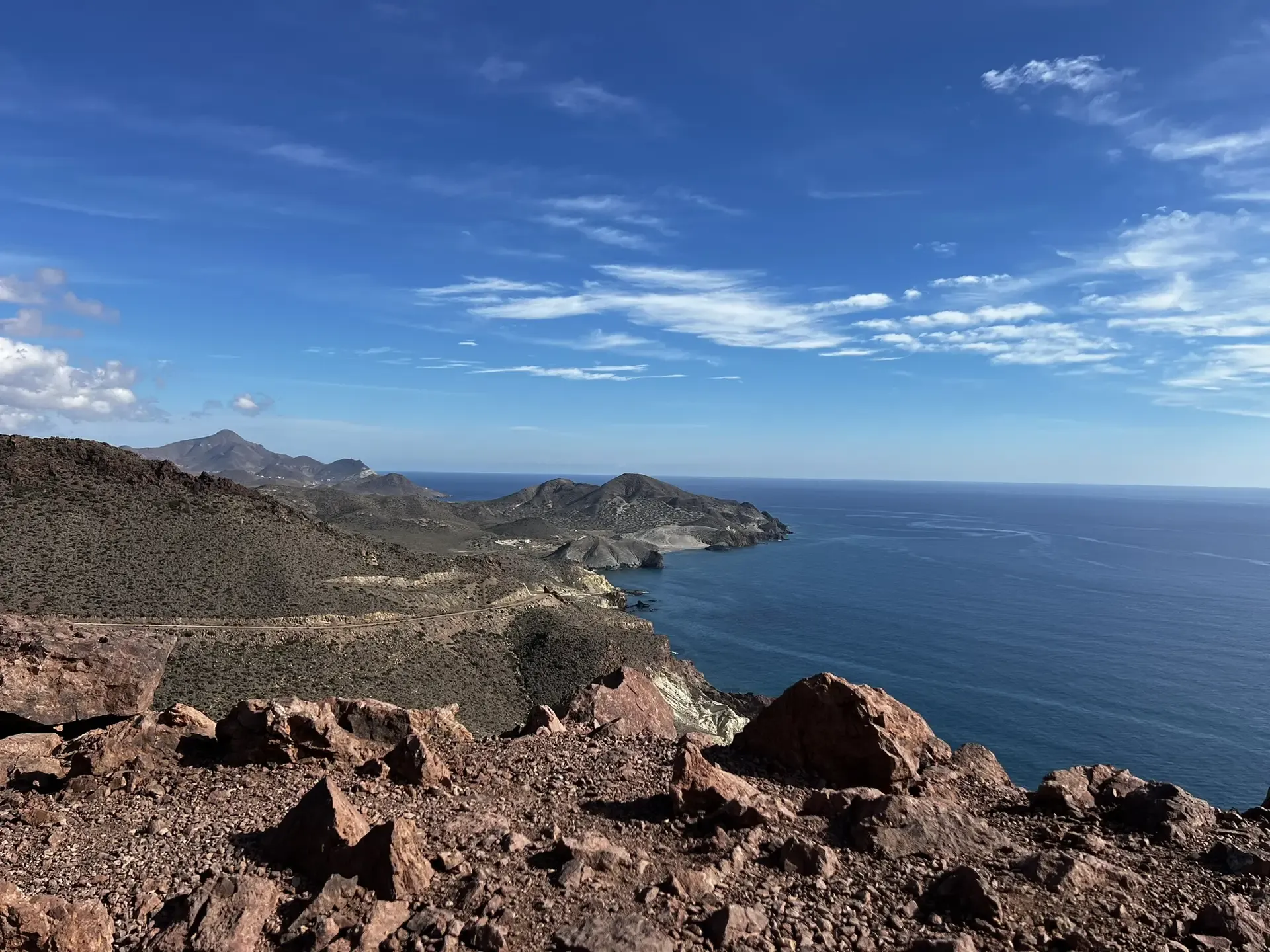
The Wild Side Of Almería — Transalmería By Mountain Bike
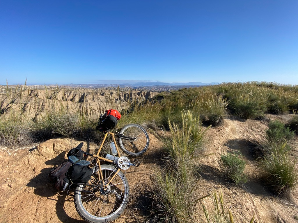
Mountain, Desert and Sea — Andalusian Trilogy

Wild and free Andalusia – Transandalus through the interior
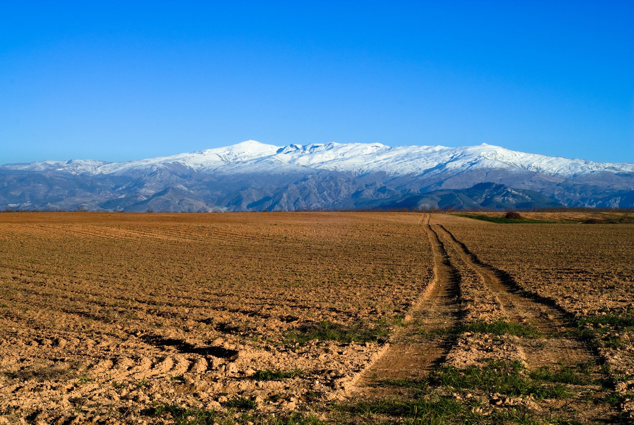
From the Alcazaba to the Alcazar – an Andalusian Adventure
Other adventures around Campo Tabernas


Tips from the Community

Its origin dates back to about 6.2 million years ago. The crater, located in the town of Níjar, has a conical shape with the cone half collapsed and eroded.
1
0
Inaugurated in 1850, the Isabel II reservoir was a failure due to its scarcity of rainwater and the large amount of mud formed by the sediments. Its initial objective was to irrigate the crops in the fields of Níjar and its surroundings, but it is currently in a poor state of conservation, with part of the structure in ruins. Even so, the place offers impressive views of the Cabo de Gata-Níjar Natural Park,
1
0
Its origin dates back to about 6.2 million years ago. The crater, located in the town of Níjar, has a conical shape with the cone half collapsed and eroded.
3
0
Frequently Asked Questions
What makes the volcano hiking trails in Campo Tabernas unique?
The Campo Tabernas region, Europe's only true desert, offers a unique geological landscape for hiking. While not active volcanoes, the trails explore ancient volcanic formations like the Granatilla Volcano and Granadilla Crater, characterized by dramatic badlands, deeply eroded ravines, and sculpted clay hills. This arid environment, shaped by millions of years of erosion, creates a lunar-like scenery that is visually striking and distinct from typical volcanic regions.
How many volcano hiking trails are available in Campo Tabernas?
There are 6 distinct volcano hiking trails around Campo Tabernas listed in this guide. Most of these are considered easy, with one moderate option, making them accessible for various fitness levels.
Are there easy volcano hikes suitable for beginners or families?
Yes, the majority of volcano hikes in Campo Tabernas are rated as easy, making them ideal for beginners and families. For example, the Granatilla Volcano – Granadilla Crater loop from Cerro del Hoyazo is a short, easy route covering just under 2 km. Another accessible option is the Granatilla Volcano – Granadilla Crater loop from Aparcamiento del volcán El Hoyazo, which is around 3.4 km.
Can I find circular routes among the volcano hikes?
Yes, all the volcano hiking trails in this guide are circular routes. This allows you to start and end at the same point, offering convenient exploration of the unique volcanic landscapes without retracing your steps. Examples include the Granatilla Volcano – Isabel II Reservoir loop from Aparcamiento del volcán El Hoyazo and the Granatilla Volcano loop from Aparcamiento del volcán El Hoyazo.
What is the best time of year to go volcano hiking in Campo Tabernas?
The best times for volcano hiking in Campo Tabernas are typically spring and autumn. During these seasons, temperatures are more moderate, making the experience more comfortable. Summers can be extremely hot due to the desert climate, with over 3,000 hours of sunshine per year.
What should I bring for a volcano hike in Campo Tabernas?
Given the desert environment, it's crucial to bring sturdy footwear, ample water to stay hydrated, and sun protection such as a hat, sunglasses, and high-SPF sunscreen. Layers of clothing are also advisable, as temperatures can fluctuate. A map or GPS device is recommended, as some trails might not be extensively marked.
Are there specific parking facilities for these volcano trails?
Many of the routes, such as the Granatilla Volcano – Isabel II Reservoir loop and the Granatilla Volcano loop, start from "Aparcamiento del volcán El Hoyazo," indicating designated parking areas at the trailheads for convenient access.
What kind of wildlife might I see on these trails?
Despite the arid conditions, the Tabernas Desert is a Special Protection Area for Birds (ZEPA). You might spot species like king swifts, solitary rock thrushes, jackdaws, and trumpeter bullfinches. Reptiles such as the red-tailed lizard and the jewelled lizard are also present, adapted to the desert environment.
Are dogs allowed on the volcano hiking trails?
While specific regulations for dogs on these particular trails are not detailed, generally, dogs are welcome on many hiking trails in natural areas, especially if kept on a leash. However, always check local signage or park regulations before heading out, and ensure your dog is prepared for the desert heat and terrain.
What other attractions can I explore near the volcano hiking trails?
Beyond the trails, Campo Tabernas offers unique attractions. You can visit the Tabernas Oasis, famous as a filming location, or explore the cinematic history at theme parks like Fort Bravo Texas Hollywood. The Castillo árabe Tabernas also offers a glimpse into the region's past.
What do other hikers say about the volcano trails in Campo Tabernas?
The komoot community highly rates the hiking experience in Campo Tabernas, with an average score of 4.48 stars from over 1,400 ratings. Reviewers often praise the unique, dramatic desert landscapes, the sense of solitude, and the well-preserved geological formations that make these trails truly memorable.
How long do these volcano hikes typically take?
The duration of these hikes varies depending on the route and your pace. The shortest easy loops, like the Granatilla Volcano – Granadilla Crater loop, can be completed in about 30 minutes. Longer moderate routes, such as the Granatilla Volcano – Isabel II Reservoir loop (11.7 km), can take around 3.5 hours to complete.
Are there any challenging or advanced volcano hikes in the area?
While most routes in this guide are easy, there is one moderate option: the Granatilla Volcano – Isabel II Reservoir loop from Aparcamiento del volcán El Hoyazo. This 11.7 km trail involves nearly 300 meters of elevation gain, offering a more strenuous experience. For more extensive hikes in the broader Tabernas Desert, routes like "Los Bardinales-Serra del Marchante-El Chortal" (46.2 km) provide deeper immersion into the rugged landscape.
Most popular routes around Campo Tabernas
Most popular attractions around Campo Tabernas

Get inspired with the komoot mobile app


Explore more
Browse the best Hikes in other regions.
