The best traffic-free bike rides in Greenbrier County
5.0
(1)
26
riders
3
rides
Gravel biking in Greenbrier County offers extensive no traffic gravel bike trails through diverse landscapes. The region is situated within the Allegheny Mountains, providing varied elevations and rich hardwood valleys. The free-flowing Greenbrier River is a central natural feature, with many routes running alongside it. Vast forested areas, including portions of the Monongahela National Forest, contribute to a serene natural experience.
Best no traffic gravel bike trails in Greenbrier County
- The most popular no traffic gravel bike trail is Mill…
Last updated: August 9, 2026
5.0
(1)
7
riders
152km
08:10
920m
920m
Hard gravel ride. Very good fitness required. Mostly paved surfaces. Suitable for all skill levels.
5
riders
58.6km
03:02
290m
290m
Moderate gravel ride. Good fitness required. Mostly paved surfaces. Suitable for all skill levels.

Sign up for free
2
riders
100.0km
05:56
1,250m
1,250m
Hard gravel ride. Very good fitness required. Mostly paved surfaces. Suitable for all skill levels.
Our route recommendations are based on thousands of hikes, rides, and runs completed by other people on komoot.
Start today with a free account
Your next adventure awaits.
Login or Signup
Popular around Greenbrier County
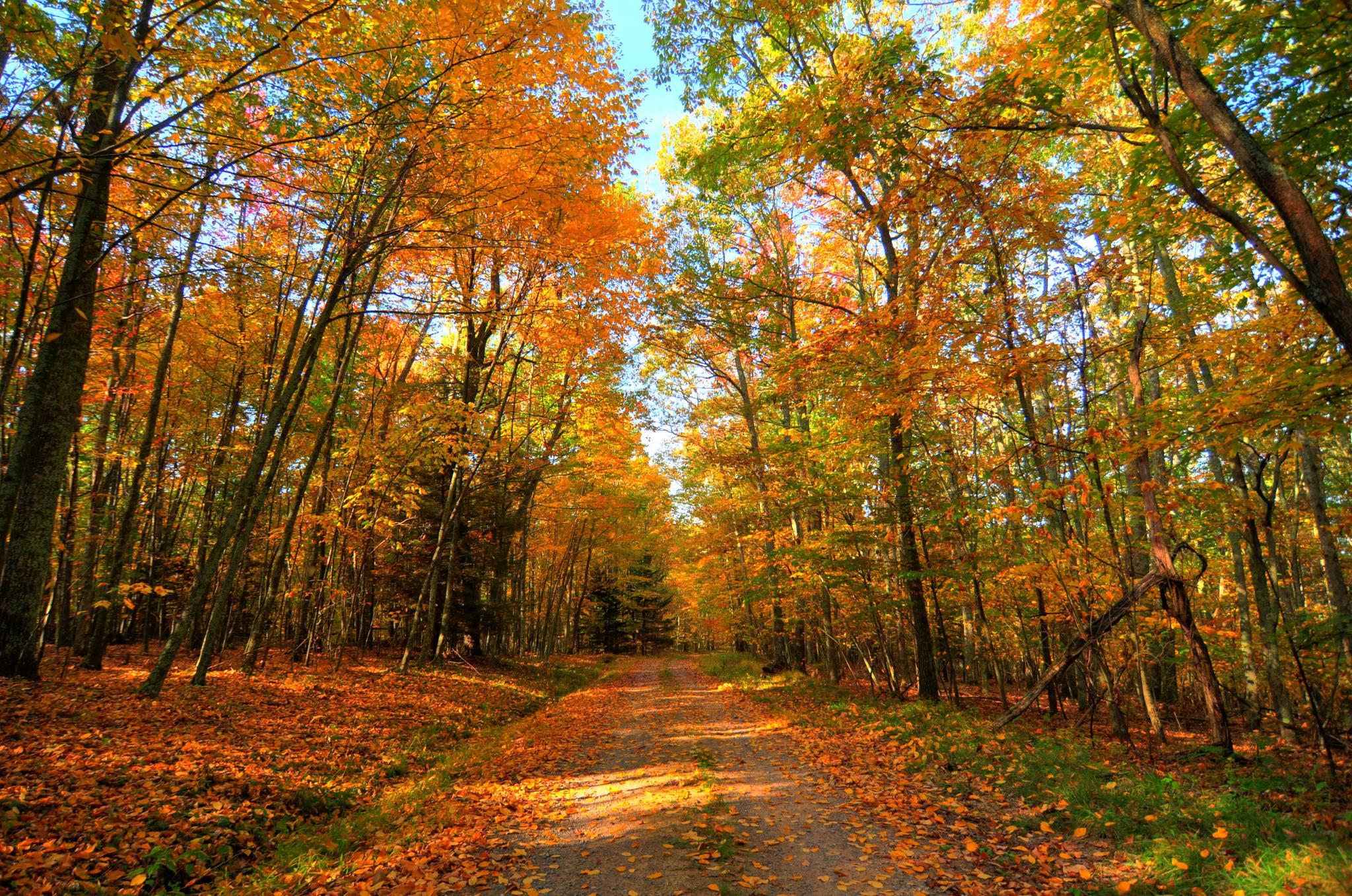
Greenbrier River & Allegheny Highlands loop — Cycling through the heart of West Virginia’s wild beauty
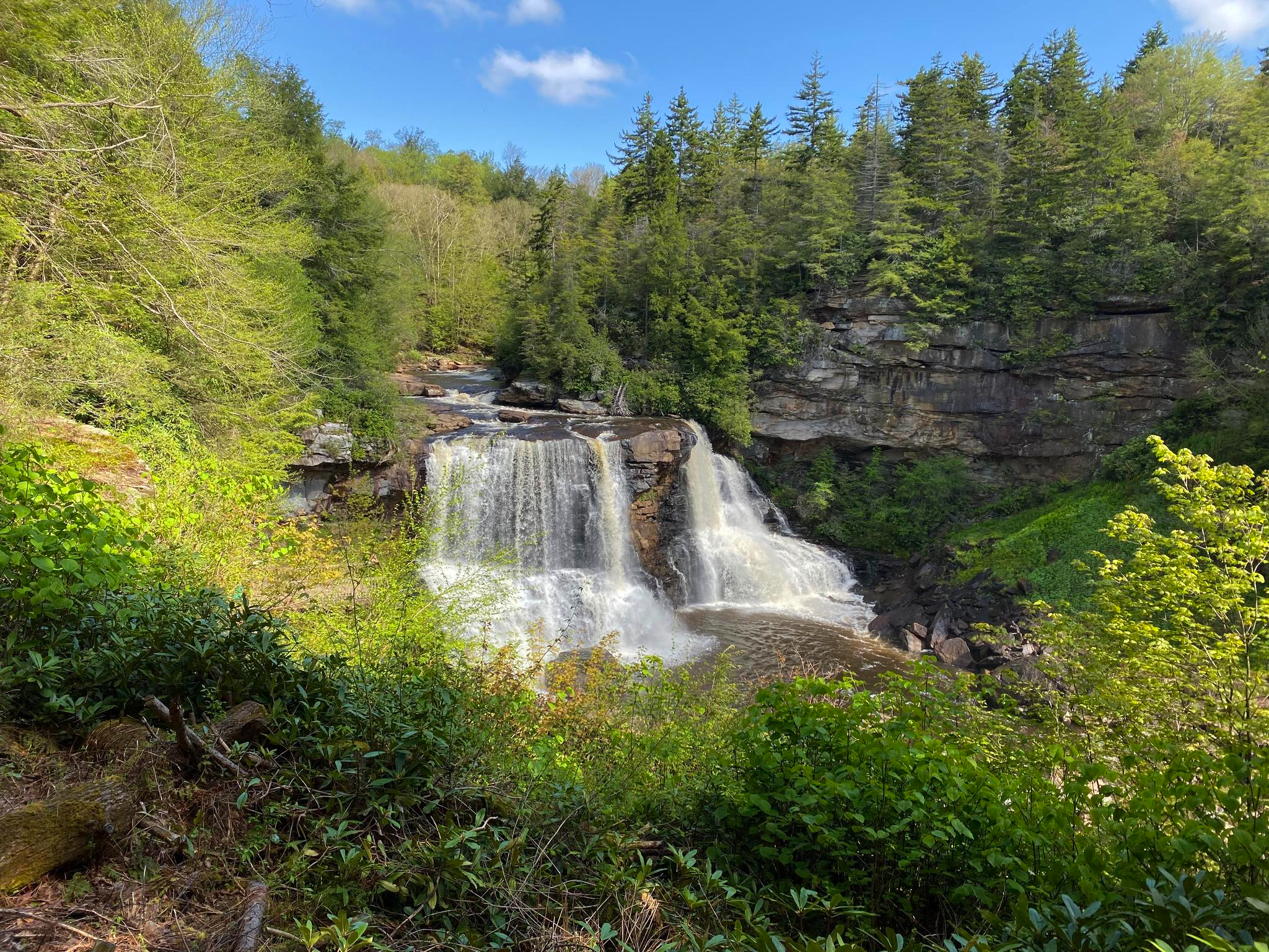
Allegheny Trail — A remote Appalachian adventure
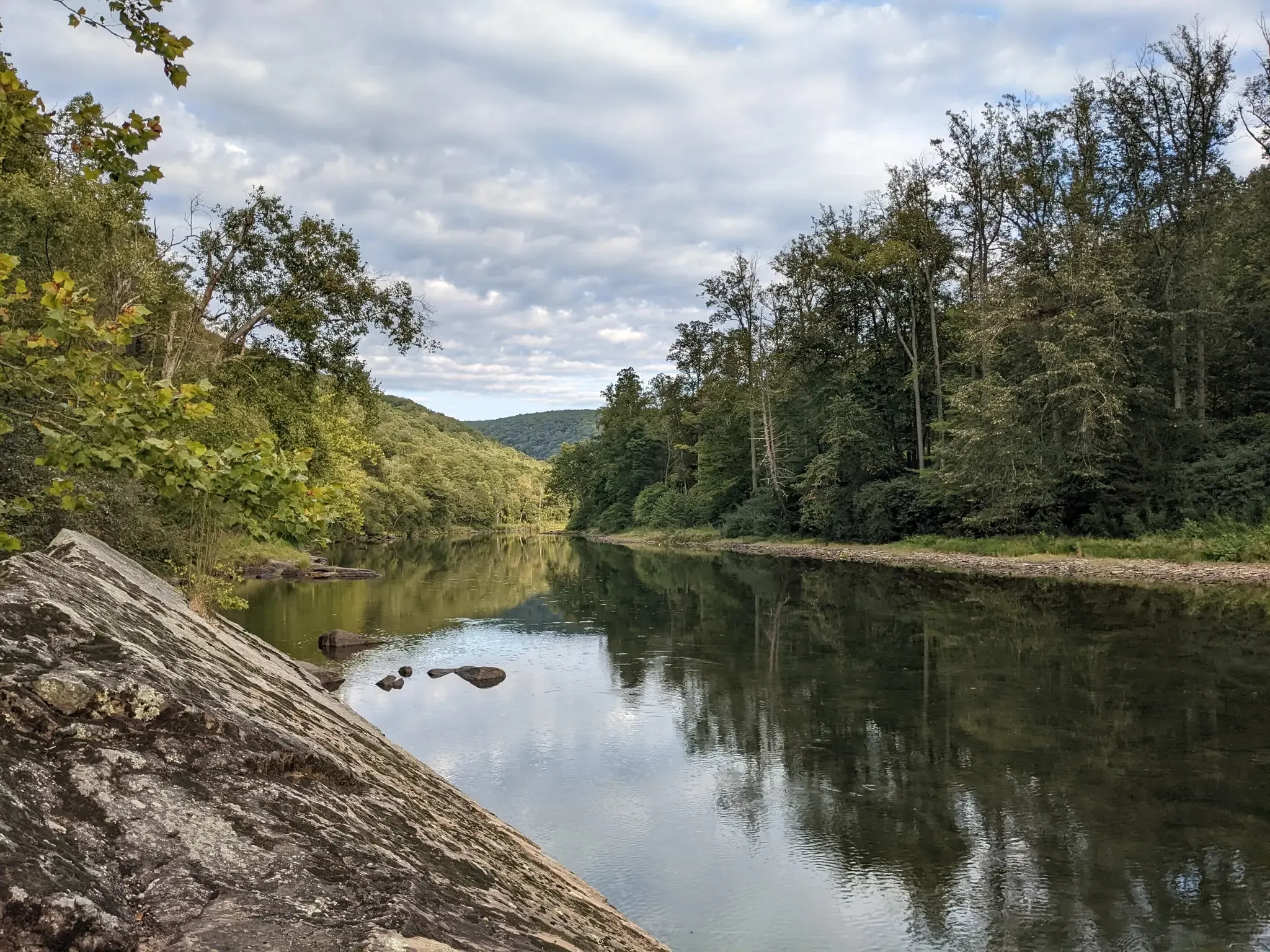
Greenbrier River Trail — Biking West Virginia's Longest Rail Trail

Traffic-free bike rides in Greenbrier County

Traffic-free bike rides in Greenbrier County
Other adventures in Greenbrier County


Tips from the Community

Nestled beside the Greenbrier River Trail, Mill Run Campground offers quiet, trailside tent camping surrounded by forest and river views. Each site includes a picnic table and fire ring, creating a simple but comfortable base for hikers and cyclists. The steady flow of the nearby river and the sound of passing wildlife make this a peaceful overnight spot along one of West Virginia’s most scenic corridors.
0
0
Located within the Neola Wildlife Management Area along Anthony Creek, Blue Bend is one of West Virginia’s most beautiful mountain swimming holes. Fed by clear, cold spring water, it stays refreshingly cool even in midsummer. A small picnic area, restrooms, and nearby trail access make it a favorite local retreat. Framed by forested hills and tranquil green water, it’s a peaceful place to rest and cool off.
0
0
Set within the quiet forests of the Greenbrier Valley, Laurel Run Primitive Campground offers 12 tent sites and two pit toilets. The campground sits beside a small stream and is surrounded by mixed hardwood forest, making it ideal for anyone seeking a simple, natural setting. There are no hookups or modern facilities—just shaded sites, fresh air, and easy access to the surrounding trail network.
0
0

Anthony Road, at mile marker 14.4 heads west into Frankford, where you can grab groceries, stop at a post office, or use a public phone. To the east, Anthony Road heads toward the forest service campgrounds and vastness of the Big Draft Wilderness.
0
0
This campground is managed by the National Forest Service and is $16/night. It does not have restrooms or potable water. It is open seasonally from March to October.
0
0
Renick, called Falling Spring on some maps, is a remote little town that offers a post office, limited food options, and public phone access. This area of the river has some great swimming spots, like Norman Blue Hole just north of town along the the trail. Within mile marker 25 through Renick, there's potable water, bathrooms, and picnic tables. You can find a bike repair station within mile 25, where the trail intersects with Slab Camp Road.
0
0
This small town offers a couple of seasonally-open spots to grab food, some bike shuttling options, and a general store with the essentials. You can find privately-owned campgrounds, like River Trail Hollow Campground, in addition to some local lodges and cabins that are available for nightly rental. Seebert River Road intersects with the Greenbrier River Trail and offers the option to take a detour into Watoga State Park, which is West Virginia's largest state park at over 10,000 acres and houses miles of biking routes.
0
0
This 402-foot tunnel was completed in 1900 to allow railway passage directly through Droop Mountain. Even in daylight hours, it's dark in the middle of a 402-foot tunnel! A flashlight is recommended if you're riding through.
0
0
Frequently Asked Questions
How many traffic-free gravel bike trails are available in Greenbrier County?
Komoot currently features 3 dedicated traffic-free gravel bike routes in Greenbrier County. These routes offer a range of experiences, from moderate to difficult, ensuring a suitable option for various skill levels looking to explore the region's natural beauty without vehicle interference.
What kind of terrain can I expect on Greenbrier County's traffic-free gravel trails?
The traffic-free gravel trails in Greenbrier County, particularly those within the Mon Forest Gravel and Bikepacking Route Network, offer diverse terrain. You'll find everything from well-maintained, compacted gravel surfaces, like those on the Greenbrier River Trail, to more challenging forest tracks with varying elevations. The region is nestled within the Allegheny Mountains, so expect a mix of gentle grades and more significant climbs depending on the specific route.
Are there any circular no-traffic gravel bike routes in Greenbrier County?
Yes, Greenbrier County offers several excellent circular routes for traffic-free gravel biking. For example, the Greenbrier River Trail – Webster Run Bridge loop from Julia provides a moderate 58.6 km ride. For a more challenging adventure, consider the Blue Bend – Bue Bend Campground loop from Fred E. Brooks Memorial Arboretum, which covers nearly 100 km with significant elevation changes.
What are the best times of year to gravel bike in Greenbrier County?
Greenbrier County offers great gravel biking opportunities throughout much of the year. Spring and fall are particularly popular due to comfortable temperatures and vibrant foliage. Summer provides lush green scenery, though it can be warmer. While some trails may be accessible in winter, conditions can vary, so it's always best to check local weather and trail reports for snow or ice before heading out.
Are Greenbrier County's traffic-free gravel trails suitable for families?
Many sections of the rail-trail system, such as the Greenbrier River Trail, are known for their gentle, one-percent grades and compacted gravel surfaces, making them very accessible for families. These trails often run alongside the Greenbrier River, offering picturesque views and a safe, enjoyable environment away from traffic. Always check the specific route details for distance and elevation to ensure it matches your family's capabilities.
Can I bring my dog on the traffic-free gravel bike trails?
Generally, dogs are welcome on many of Greenbrier County's outdoor trails, including the rail-trails, as long as they are kept on a leash and you practice Leave No Trace principles. Always ensure your dog is well-behaved and that you clean up after them to maintain a pleasant experience for all trail users. Specific regulations may vary by trail or park, so it's wise to check local signage.
What natural features or landmarks can I see along these routes?
Greenbrier County's traffic-free gravel trails are rich with natural beauty and interesting landmarks. You can expect continuous views of the Greenbrier River, passage through shaded forests, and scenic vistas within the Allegheny Mountains. Highlights along or near these routes include the Lake Sherwood Recreation Area, the vast Big Draft Wilderness, and the historic Droop Mountain Tunnel. The Greenbrier River Trail Southern Terminus is also a notable point of interest.
Where can I find parking for these gravel bike trails?
Parking is typically available at various access points along the major rail trails like the Greenbrier River Trail and Meadow River Rail Trail. Many trailheads and towns along these routes offer designated parking areas. For specific routes like the Mill Run Campground – Seebert loop from Blue Bend, you'll often find parking facilities at campgrounds or recreational areas that serve as starting points.
Are there amenities like cafes or restrooms along the traffic-free gravel routes?
While the trails themselves are often remote, towns and communities located along or near the major rail trails (such as Caldwell, Lewisburg, and Cass along the Greenbrier River Trail) offer amenities like cafes, restaurants, and restrooms. Some sections of the trails also feature picnic sites and primitive campsites. It's always advisable to carry sufficient water and snacks, especially on longer rides, as services may be spaced out.
What do other gravel bikers enjoy most about Greenbrier County's traffic-free trails?
The komoot community highly rates the traffic-free gravel biking experience in Greenbrier County. Reviewers often praise the serene environment, the continuous river views, and the immersive feeling of riding through vast forested lands. The well-maintained surfaces of the rail trails and the challenge of the Mon Forest network are frequently highlighted, offering a perfect escape into nature.
How long are the typical traffic-free gravel bike trails in Greenbrier County?
The length of traffic-free gravel bike trails in Greenbrier County varies significantly. The renowned Greenbrier River Trail is 78 miles long, offering extensive point-to-point riding. Other routes, like the Greenbrier River Trail – Webster Run Bridge loop from Julia, are around 58 km, while the Blue Bend – Bue Bend Campground loop from Fred E. Brooks Memorial Arboretum extends to nearly 100 km. The Mon Forest Gravel and Bikepacking Route Network also includes options ranging from easy day rides to challenging multi-day bikepacking adventures.
Most popular routes in Greenbrier County
Most popular attractions in Greenbrier County

Get inspired with the komoot mobile app


Explore more
Browse the best Gravel rides in other regions.
