The 4 Most Amazing Peaks in Corsenside
Mountain peaks in Corsenside, located in Northumberland, England, present an elevated landscape characterized by expansive moorland and historical significance. The area features several elevated points, with Corsenside Common being a notable summit reaching over 360 meters. The terrain includes rough grass, heather, and upland drainage, with an Ordnance Survey triangulation pillar marking its high point. Views from these peaks often extend across the Otterburn Ranges towards the Cheviots and the Simonside Hills.
Best mountain peaks in Corsenside
- The most popular…
Last updated: October 14, 2026
Darden Pike Trig Point
Highlight • Viewpoint
Tip by

Whitley Pike Cairn
Highlight • Natural Monument
(Hill ID: 505965) [JNSA s7257]
Northumberland National Park Definitive List summit.
County of Northumberland Definitive List summit.
Tip by

Sign up now to discover places like this
Get recommendations on the best single tracks, peaks, & plenty of other exciting outdoor places.
Darden Pike Trig Point
Highlight • Monument
FB Height: 374.904m
#1019
Northumberland National Park Trig Pillar List.
County of Northumberland Trig Pillar List.
Tip by
(DoBIH Hill ID: 15971) [JNSA 11904]
#1826
County of Northumberland Definitive List summit.
TP3247 - Fourlaws Hill S6629
FB Height: 342.732m
#1055
County of Northumberland Trig Pillar List.
Tip by
Gunner’s Box — elevation 325.12 m (1,066 ft); prominence 22.23 m
Highlight • Summit
(DoBIH Hill ID: 15985) [JNSA 30072]
Northumberland National Park Definitive List summit.
County of Northumberland Definitive List summit.
Tip by
Sign up for free to discover even more peaks in Corsenside.
Already have an account?
Start today with a free account
Your next adventure awaits.

Tips from the Community

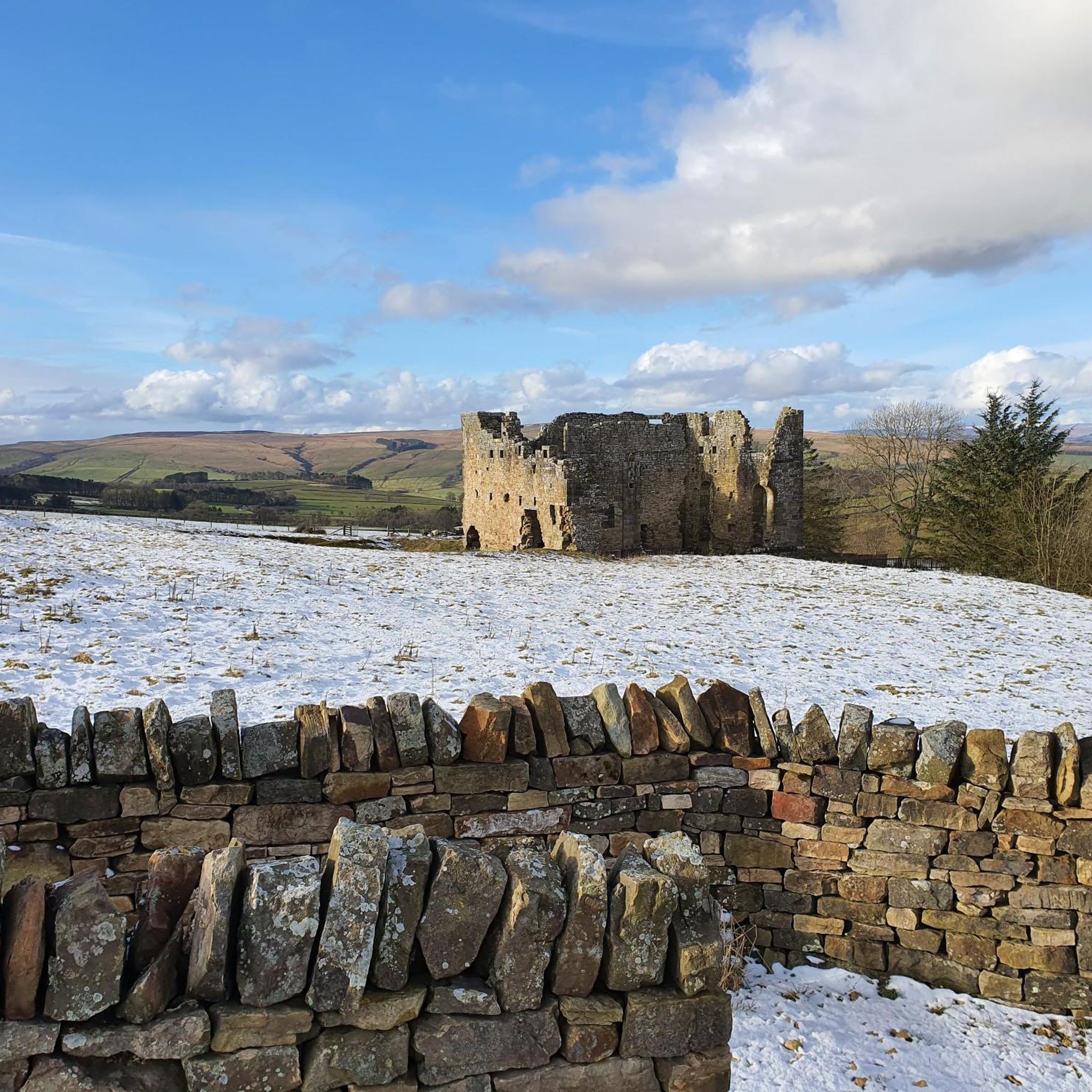
Sappers’ Pike 342m P83 (1122ft) (DoBIH Hill ID: 15971) [JNSA 11904] #1826 County of Northumberland Definitive List summit. TP3247 - Fourlaws Hill S6629 FB Height: 342.732m #1055 County of Northumberland Trig Pillar List.
0
0
Whitley Pike 355.87m P16.4 (1167ft) (Hill ID: 505965) [JNSA s7257] Northumberland National Park Definitive List summit. County of Northumberland Definitive List summit.
0
0
TP2730 - Darden Pike S6635 FB Height: 374.904m #1019 Northumberland National Park Trig Pillar List. County of Northumberland Trig Pillar List.
0
0
Darden Pike 375.84m P20.2 (1233ft) (Hill ID: 504121) [JNSA 30053] Northumberland National Park Definitive List summit. County of Northumberland Definitive List summit.
0
0
Gunner’s Box 325.12m P22.23 (1066ft) (DoBIH Hill ID: 15985) [JNSA 30072] Northumberland National Park Definitive List summit. County of Northumberland Definitive List summit.
0
0

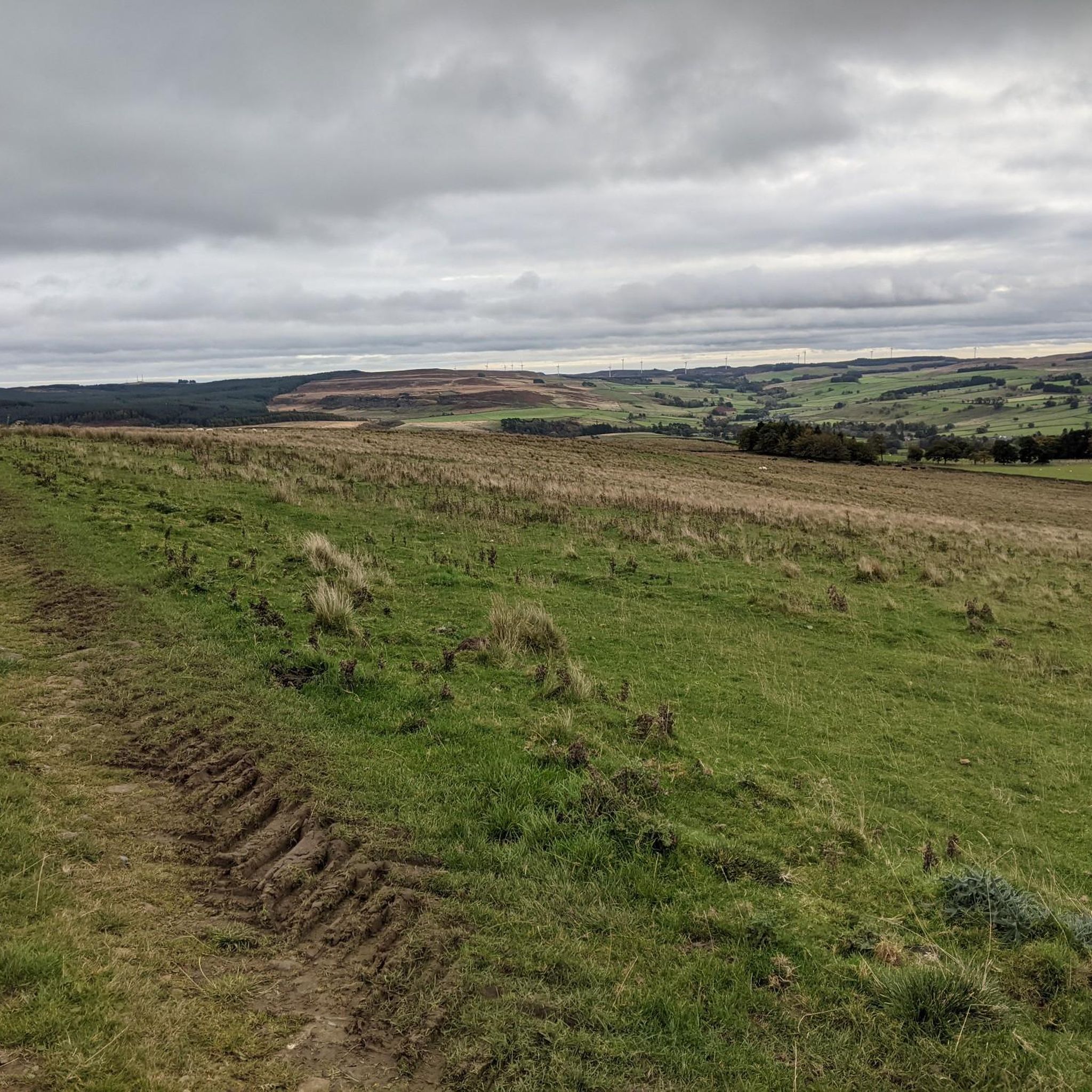
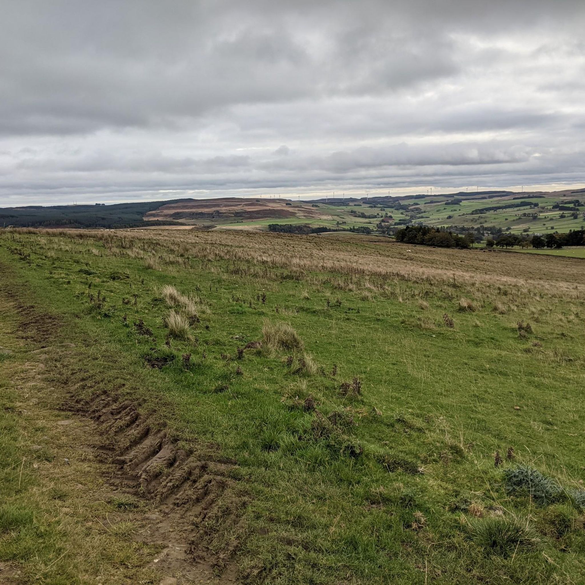
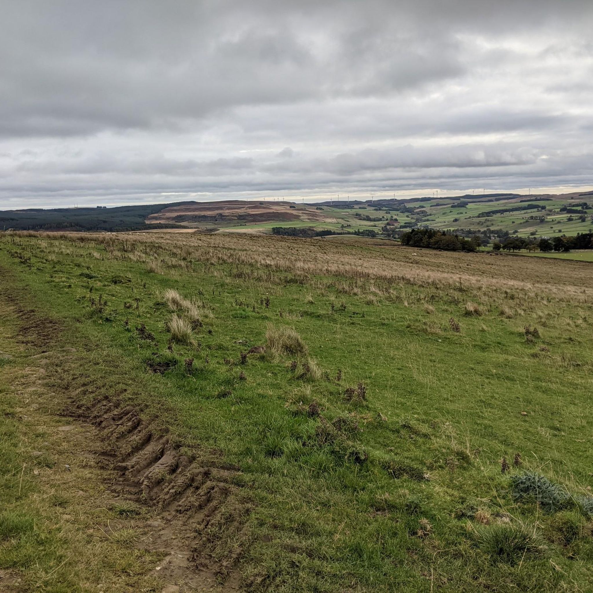
If you fancy a little wander to a gorgeous little lake in the middle of nowhere than get yourself along to Darden Lough. This short but tough little walk has a bit of everything in what is really quite a short distance. However the views and the secluded nature of this trig pointed and cairned summit are definitely worth it.
0
0
Frequently Asked Questions
What is the most prominent mountain peak in Corsenside?
The most notable mountain peak in Corsenside is Corsenside Common. It reaches a height of 366 meters (1201 feet) and its high point is officially identified as White Hill, marked by an Ordnance Survey triangulation pillar. You can find more details about its summit at Corsenside Common Trig Point.
What kind of views can I expect from Corsenside's peaks?
From the summit of Corsenside Common, you can enjoy clear views across the Otterburn Ranges towards the higher Cheviots. Looking southeast, the distinctive sandstone skyline of the Simonside Hills near Rothbury is visible. Another excellent viewpoint is Darden Pike Trig Point, which offers secluded views and a gorgeous little lake nearby.
Are there any historical features to discover while hiking in Corsenside?
Yes, the ancient Roman road of Dere Street skirts the western edge of Corsenside Common, adding a historical dimension to the landscape. The name 'Corsenside' itself is thought to derive from Old English, meaning 'the hillside belonging to Crossan', hinting at early Anglo-Saxon settlement in the area.
What makes Corsenside Common unique for hikers?
Corsenside Common provides a quiet and uncrowded ascent, making it ideal for those seeking solitude away from busier areas within the Northumberland National Park. The terrain is characterized by expansive moorland covered in rough grass and heather, and hikers can expect to navigate peat hags as they gain altitude.
What is the typical terrain like on Corsenside's mountain trails?
The terrain around Corsenside's peaks, particularly Corsenside Common, is characterized by expansive moorland. You'll encounter rough grass and heather, and due to its upland drainage, expect to navigate peat hags in certain sections. The trails are generally uncrowded, offering a sense of wildness.
What is the best time of year to visit Corsenside for hiking?
The best time to visit Corsenside for hiking is typically during late spring, summer, and early autumn (May to October). During these months, the weather is generally milder, and the moorland heather is in bloom, offering beautiful scenery. Always check the local weather forecast before heading out, as conditions can change rapidly in upland areas.
Are there family-friendly walking options around Corsenside's peaks?
While some of the higher peaks involve navigating moorland and peat hags, which might be challenging for very young children, many areas around Corsenside offer gentler paths suitable for families. Look for shorter, well-defined routes on the lower slopes or explore the wider Northumberland National Park for designated family-friendly trails. Always assess the difficulty and conditions before setting out with children.
Is Corsenside suitable for dog walking?
Yes, Corsenside is generally dog-friendly, offering vast open spaces for walks. However, as it's an upland area with livestock, it's crucial to keep dogs under close control, preferably on a lead, especially during lambing season or when near grazing animals. Always follow the Countryside Code.
What other outdoor activities can I do near Corsenside's mountain peaks?
Beyond hiking, Corsenside offers opportunities for cycling and running. You can explore various routes, including road cycling, touring bicycle routes, and running trails. For detailed options, check out the guides for Road Cycling Routes in Corsenside, Cycling in Corsenside, and Running Trails in Corsenside.
Are there any other notable elevated points near Corsenside Common?
Yes, while Corsenside Common is the most prominent, the area features several other elevated points that contribute to the scenic landscape. These include Midhopelaw Pike, Gray Stone, Hart Side, Sappers' Pike, and Padon Hill. These nearby summits offer further opportunities for exploration and diverse views across the Northumbrian moorland.
Where can I find a good viewpoint with a lake nearby?
For a beautiful viewpoint combined with a tranquil lake, consider visiting Darden Pike Trig Point. It offers a secluded experience with stunning views and is close to Darden Lough, making for a rewarding short walk.
Most popular attractions in Corsenside

Get inspired with the komoot mobile app


Explore more
See even more amazing summits in Corsenside with these guides:
