The best family-friendly hikes and walks around Grand Canyon Village
4.7
(2517)
28,908
hikers
108
hikes
Family friendly hiking trails around Grand Canyon Village offer direct access to the South Rim of the Grand Canyon, a massive, steep-sided canyon carved by the Colorado River. The region is characterized by immense geological formations, showcasing nearly two billion years of Earth's history in exposed rock layers. Hikers will find dramatic elevation changes from the rim to the inner canyon, revealing diverse environments and expansive, panoramic views.
Best family friendly hiking trails around Grand Canyon Village
- The most popular family friendly hiking route is Rim Trail, a 6.7 miles (10.8 km) trail that takes 3 hours 1 minute to complete. This moderate route offers constant, expansive views of the canyon and Colorado River with minimal elevation change.
- Another top favourite among local hikers is Grand Canyon Greenway Trail, an easy 2.2 miles (3.6 km) path. This trail provides accessible sections, ideal for a gentle introduction to the park's natural beauty.
- Local hikers also love the Rim Trail, a 6.1 miles (9.8 km) trail leading through varied terrain along the canyon rim, often completed in about 2 hours 37 minutes.
- Hiking around Grand Canyon Village is defined by the awe-inspiring Grand Canyon, the Colorado River, and ancient geological rock layers. The network offers options for different ability levels, from easy walks to more challenging routes.
- The routes in Grand Canyon Village are highly rated by the komoot community with an average score of 4.8 stars from over 2500 reviews. More than 28000 hikers have used komoot to explore Grand Canyon Village's varied terrain.
Last updated: August 18, 2026
4.9
(56)
558
hikers
10.8km
03:01
250m
130m
Embark on a moderate hike along the Rim Trail, offering continuous, sweeping vistas of the Grand Canyon's vast expanse. As you walk, you'll witness the canyon's immense scale and deep geological history unfold before you. The route provides spectacular views of the Colorado River from various overlooks, including notable spots like Monument Creek Vista and The Abyss. This 6.7 miles (10.8 km) journey involves an elevation gain of 825 feet (251 metres) and typically takes around 3 hours to complete. You'll find many opportunities for impressive moments at every turn, with numerous marked and unmarked viewpoints.
The Rim Trail is well-integrated with the park's shuttle bus system, allowing you flexibility in planning your hike. You can access the trail at multiple points and use the shuttle to shorten your journey or return to your starting location if you feel tired. Park staff recommend against attempting to hike the entire length of the South Rim trail to and from the village in a single day. Additionally, some sections of the trail are wheelchair accessible, particularly the stretch from Lookout Studio to the South Kaibab Trailhead.
This trail stands out for its accessibility and the sheer variety of perspectives it offers on one of the world's most iconic natural wonders. It provides a unique opportunity to experience the Grand Canyon's grandeur without venturing into its depths. The trail's design allows you to easily connect with other park amenities and viewpoints, making it a central pathway for exploring the South Rim. It's an excellent choice if you want to soak in panoramic views and understand the canyon's geological story from above.
4.9
(62)
1,217
hikers
9.77km
02:38
120m
120m
Embark on the Rim Trail for a moderate hiking experience along the Grand Canyon's South Rim, offering continuous, sweeping vistas. This 6.1-mile (9.8 km) route involves a gentle 396 feet (121 metres) of elevation gain, typically taking around 2 hours and 37 minutes to complete. As you walk, you'll encounter numerous marked viewpoints, including the popular Mather Point, providing dramatic perspectives of the canyon's vastness and rugged cliffs.
Planning your visit is straightforward, as the trail is highly accessible and served by a free shuttle bus system along Hermit Road, allowing you to easily hop on or off at various points. While the trail is open all year, be prepared for potential ice and snow during winter months, which may require traction devices for your shoes. Leashed pets are welcome on the trail itself, but remember they are not permitted on the park's shuttle buses.
Beyond the stunning views, the Rim Trail offers unique insights into the canyon's natural history; you can explore the 'Trail of Time' section to learn about its geological formation. Consider a stop at Yavapai Point, which features a geology museum, to deepen your understanding of this iconic landscape. This trail provides a flexible and engaging way to connect with the Grand Canyon's profound beauty and ancient story.

Sign up for free
4.6
(12)
130
hikers
16.4km
05:59
60m
1,420m
Embark on a difficult hike along the Bright Angel Trail, a 10.2 miles (16.4 km) route that descends into the Grand Canyon. You will experience an elevation gain of 199 feet (61 metres) and should plan for approximately 5 hours and 59 minutes to complete it. The path winds through numerous switchbacks from the South Rim, revealing layers of geological history as you go. Look for the prominent Battleship formation and enjoy continuous views into the vast canyon. Eventually, you will reach the lush Havasupai Gardens, a welcome oasis for a shaded rest.
When planning your visit, be prepared for the canyon's extreme conditions. Summer temperatures in the inner canyon can soar above 110°F, so carrying ample water is crucial for your safety. In winter, the upper sections of the trail can become icy, making microspikes a recommended item to bring. The National Park Service strongly advises against hiking to the Colorado River and back in one day due to the trail's demanding nature. Starting your hike early in the morning is always a good strategy to avoid the midday heat.
This iconic trail offers a unique opportunity to immerse yourself in the Grand Canyon's depths, showcasing billions of years of geological formation. As you descend, you'll pass through varied terrain, from bushy hillsides to more sheltered areas. The Bright Angel Trail is renowned for its accessibility from the South Rim and its well-maintained path, making it a popular choice for those seeking a challenging yet rewarding experience within the national park.
4.0
(1)
45
hikers
3.57km
00:56
40m
20m
The Grand Canyon Greenway Trail offers a serene and accessible way to experience the iconic South Rim, winding through fragrant ponderosa and juniper forests before revealing breathtaking rim-side views of the canyon's layered rock formations and red dirt. This easy hiking route, spanning 2.2 miles (3.6 km) with just 125 feet (38 metres) of elevation gain, is mostly paved, making it a smooth journey for about 56 minutes. You might even spot wildlife like bighorn sheep or elk along the way, adding to the natural immersion.
Planning your visit is straightforward, as the trail is designed for accessibility and convenience. It's largely a multi-use pathway, with some sections featuring packed gravel, and integrates perfectly with the park's free shuttle bus system. While the overall Grand Canyon Greenway Trail terrain and difficulty are easy, remember that the South Rim is at 7,000 feet; the uphill grade from Tusayan into the park can be a moderate challenge due to the altitude, so pace yourself.
This greenway system is more than just a scenic path; it's a vital car-free network totaling 13 miles of paved pathways across various segments, connecting key viewpoints and even serving the local community. It offers a unique perspective of the Grand Canyon, providing access to areas otherwise inaccessible by car, and acts as a gateway to more strenuous adventures like the South Kaibab and Bright Angel Trails for those seeking a deeper dive into the canyon.
5.0
(3)
21
hikers
24.9km
06:53
430m
420m
The Grand Canyon Rim Trail offers an immersive hiking experience along the South Rim, presenting continuous, expansive views of one of the world's natural wonders. This difficult route spans 15.5 miles (24.9 km) and involves a total elevation gain of 1397 feet (426 metres), typically requiring around 6 hours and 52 minutes to complete. As you hike, you will encounter diverse terrain, from paved sections to more natural paths, all while the vast canyon stretches out before you. Look for iconic vistas like Hopi Point, where the sheer scale of the landscape truly becomes apparent, inviting you to pause and absorb the immense geological formations. The atmosphere here is one of awe and quiet contemplation, punctuated by the occasional sound of distant ravens.
Planning your visit to the Grand Canyon Rim Trail is straightforward, as the route is highly accessible with many paved sections suitable for various mobility needs. You can customize your hike significantly, thanks to 14 shuttle stops located along its course. This allows you to walk shorter segments and easily rejoin the park's free shuttle system, making it convenient to explore at your own pace. Consider starting early in the morning to avoid crowds and enjoy cooler temperatures, especially during warmer months.
What sets the Grand Canyon Rim Trail apart is its unique blend of accessibility and profound natural context. As you traverse the route, you will find informative panels, particularly along the "Trail of Time" section, which add geological context to the formations you observe. The trail also provides glimpses of the mighty Colorado River far below and the ancient inner granite gorge, showcasing the canyon's vastness and its deep history. This combination makes the trail not just a hike, but an educational journey through millions of years of Earth's history.
Get access to more routes and recommendations from other explorers.
Sign up for free
Already have an account?
Our route recommendations are based on thousands of hikes, rides, and runs completed by other people on komoot.
Start today with a free account
Your next adventure awaits.
Login or Signup
Popular around Grand Canyon Village

The Arizona Trail — From Mexico to Utah in 43 days
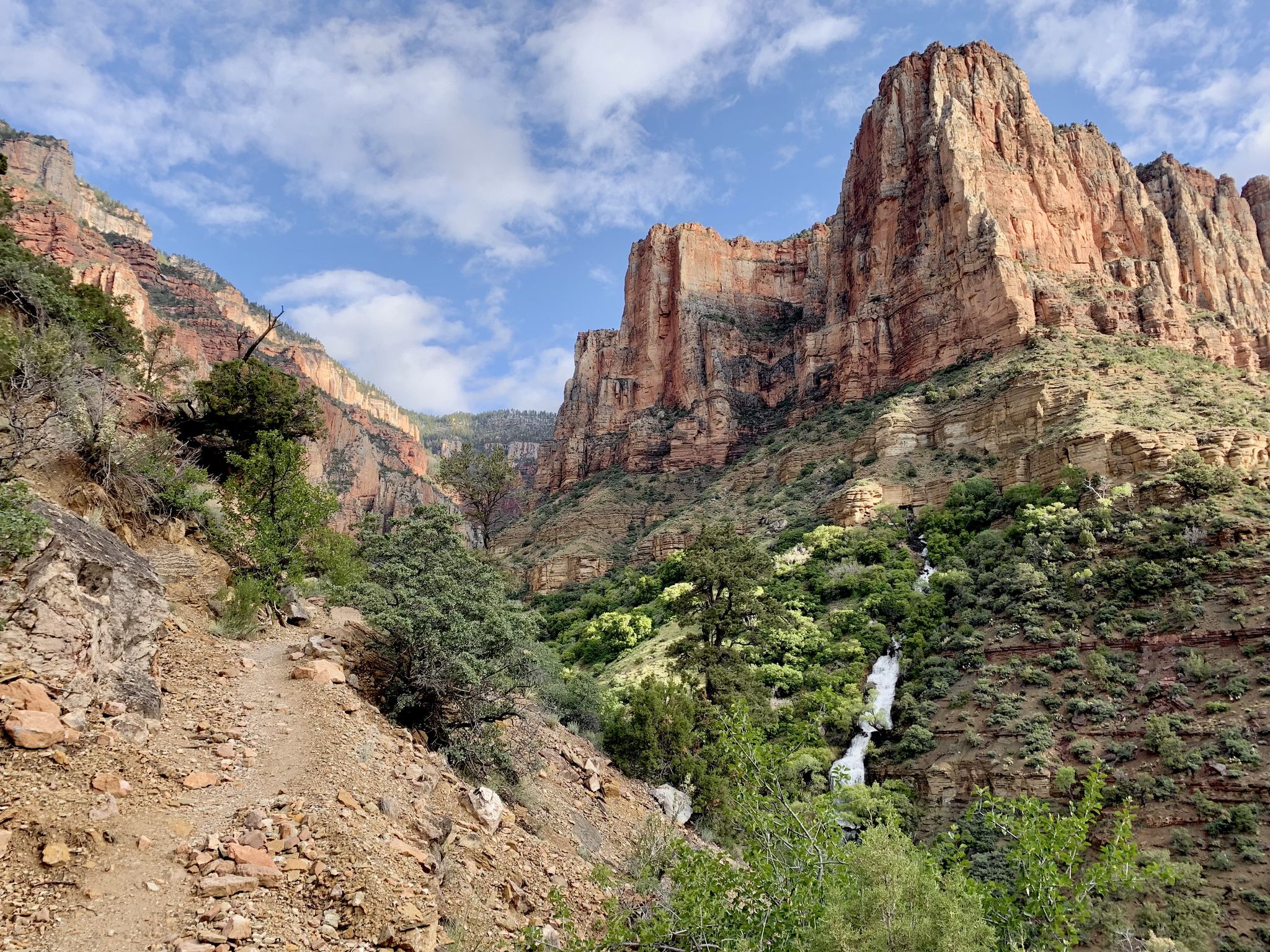
Rim-to-Rim-to-Rim – top to bottom through the Grand Canyon

Historic Route 66 – curiosities, selfie spots and diners
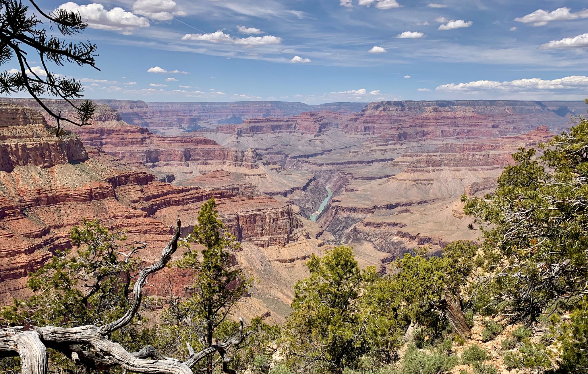
Arizona to Colorado – national parks and Native American culture
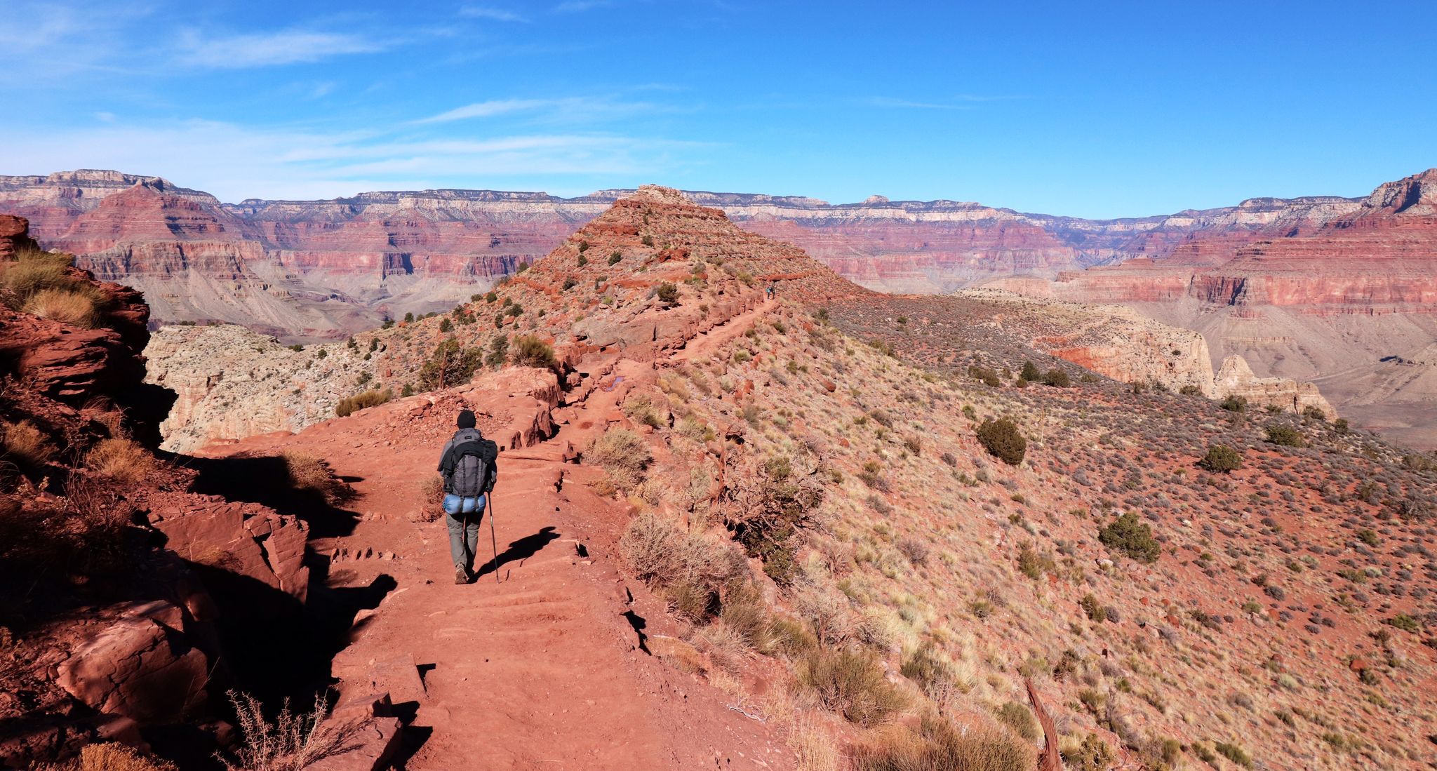
An unforgettable winter hike through the Grand Canyon

Arizona Trail — A beautiful 800-mile struggle
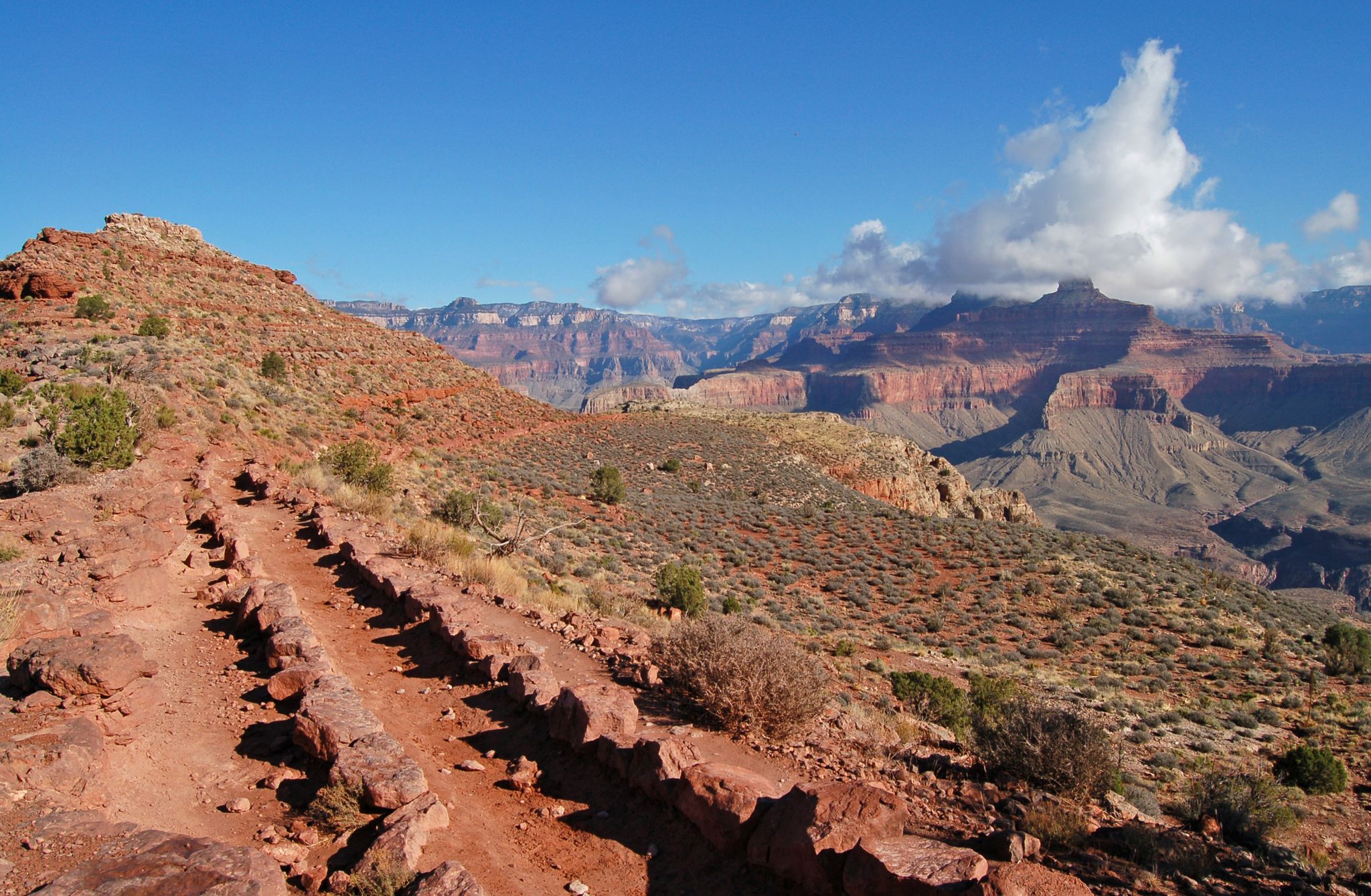
Rim-to-Rim-to-Rim — Fastpacking into the Grand Canyon’s heart
Grand Canyon to Mount Humphreys — a run, bike, run adventure
Other adventures around Grand Canyon Village


Tips from the Community

Once you've descended past the tunnel, look up to your left to see some amazing petroglyphs, including very-detailed deer done in red, with beautiful antlers!
0
0
The shelter has benches; an excellent spot for lunch. Beware the squirrels!
0
0
Unlike at the 3-mile resthouse, this resthouse does not have benches inside the shelter
0
0

You can only recommend walking a few meters on this path in front of this breathtaking scenery. It's worth it.
0
0

It's best to start at Powell Point. That would be the best section.
0
0


Mohave Point offers incredible views over the Grand Canyon, especially at sunset. You’ll also get a perfect view of the Tonto Trail winding deep into the canyon. The trail to the very tip of the point isn’t paved, so you can stop your bike and take a short hike to check it out.
0
0
Frequently Asked Questions
How many family-friendly hiking trails are available around Grand Canyon Village?
There are over 90 family-friendly hiking trails around Grand Canyon Village, with 45 of them rated as easy, making them perfect for families with children. These trails offer diverse experiences, from gentle rim walks to more adventurous paths with stunning canyon views.
What are some easy and scenic trails suitable for families with young children?
For families with young children, the Grand Canyon Greenway Trail is an excellent choice, offering an easy and relatively flat path. Portions of the Rim Trail are also paved and easily accessible, providing constant, expansive views with minimal elevation change. You can use the free shuttle buses to customize your walk along the Rim Trail.
Are there any trails where we can bring our dog?
Yes, dogs are permitted on some sections of the Rim Trail, provided they are on a leash. However, pets are generally not allowed on inner canyon trails like Bright Angel or South Kaibab. Always check specific trail regulations before heading out with your furry friend. For more detailed information on pet policies, you can visit the official National Park Service website.
What kind of natural features and landmarks can we expect to see on these trails?
The trails around Grand Canyon Village offer unparalleled views of the Grand Canyon itself, showcasing nearly two billion years of Earth's geological history. You'll encounter dramatic vistas, the Colorado River far below, and diverse environments as you explore. Notable viewpoints and landmarks include Ooh Aah Point and Cedar Ridge on the South Kaibab Trail, or the Mohave Point along the Rim Trail.
What is the best time of year for family hiking in Grand Canyon Village?
Spring (March to May) and Fall (September to November) are generally considered the best times for family hiking. The weather is milder, making for more comfortable conditions. Summer can be very hot, especially on trails descending into the canyon, while winter can bring snow and ice, requiring appropriate gear and caution.
Are there any loop trails suitable for families?
While many trails are out-and-back, the free shuttle bus system along the South Rim allows you to create custom loop-like experiences. You can hike a section of the Rim Trail between two shuttle stops and then ride the bus back to your starting point, effectively creating a loop without retracing your steps.
Where can we park when hiking with family in Grand Canyon Village?
Grand Canyon Village offers various parking areas, including near the Grand Canyon Visitor Center and Mather Point. During peak season, parking can fill up quickly, so arriving early is recommended. The free shuttle bus system is an excellent way to access trailheads and viewpoints without needing to move your car.
What amenities are available near the trailheads for families?
Grand Canyon Village is well-equipped with amenities. You'll find visitor centers providing essential information and maps, restrooms, and water stations at various points along the Rim Trail and at trailheads like Bright Angel Trailhead. There are also lodges, restaurants, and general stores within the village for food and supplies.
What do other hikers enjoy most about hiking in Grand Canyon Village?
The area is highly rated by the komoot community, with an average score of 4.78 stars. Reviewers often praise the breathtaking, expansive views of the Grand Canyon, the well-maintained paths, and the accessibility of many trails for all ages. The convenience of the shuttle system and the geological insights offered by features like the Trail of Time are also frequently highlighted.
Are there any less crowded family hiking options?
To avoid the busiest crowds, consider hiking early in the morning or later in the afternoon. While the Rim Trail is popular, its length allows for quieter sections, especially further away from major viewpoints. Exploring trails during the shoulder seasons (spring and fall) can also offer a more serene experience compared to the peak summer months.
What should we pack for a family hike in Grand Canyon Village?
Always pack plenty of water, even for short walks, as the desert environment can be dehydrating. Sun protection (hats, sunscreen, sunglasses) is crucial. Comfortable hiking shoes, snacks, and layers of clothing are also recommended, as temperatures can vary. A small first-aid kit is always a good idea, especially with children.
Can we access trails using public transport?
Yes, the Grand Canyon Village area is very well served by a free and efficient shuttle bus system. This system connects various viewpoints, lodges, and trailheads along the South Rim, making it easy to access different parts of the park without a private vehicle. This is particularly convenient for families, allowing you to customize your hike length and avoid parking hassles.
Most popular routes around Grand Canyon Village
Most popular attractions around Grand Canyon Village

Get inspired with the komoot mobile app


Explore more
Browse the best Hikes in other regions.
