The best traffic-free bike rides in Tonto National Forest
4.9
(6)
111
riders
23
rides
Gravel biking in Tonto National Forest offers diverse landscapes, transitioning from saguaro-studded Sonoran Desert at lower elevations to pine-forested mountains and plateaus. The region is characterized by rugged canyons, the Salt and Verde Rivers, and several man-made lakes like Roosevelt Lake. Its extensive network of trails and roads provides varied riding surfaces, including decomposed granite, sandy washes, and rocky sections, suitable for gravel biking.
Best no traffic gravel bike trails in Tonto National Forest
- The most popular no traffic gravel…
Last updated: October 11, 2026
4.8
(5)
20
riders
23.3km
01:54
160m
150m
Moderate gravel ride. Good fitness required. Mostly paved surfaces. Suitable for all skill levels.
7
riders
Moderate gravel ride. Good fitness required. Mostly paved surfaces. Suitable for all skill levels.

7
riders
Moderate gravel ride. Good fitness required. Mostly paved surfaces. Suitable for all skill levels.
12
riders
48.1km
03:40
1,070m
1,070m
Hard gravel ride. Very good fitness required. Mostly paved surfaces. Suitable for all skill levels.
9
riders
Moderate gravel ride. Good fitness required. Mostly paved surfaces. Suitable for all skill levels.
Get access to more routes and recommendations from other explorers.
Already have an account?
Our route recommendations are based on thousands of hikes, rides, and runs completed by other people on komoot.
Start today with a free account
Your next adventure awaits.
Popular around Tonto National Forest
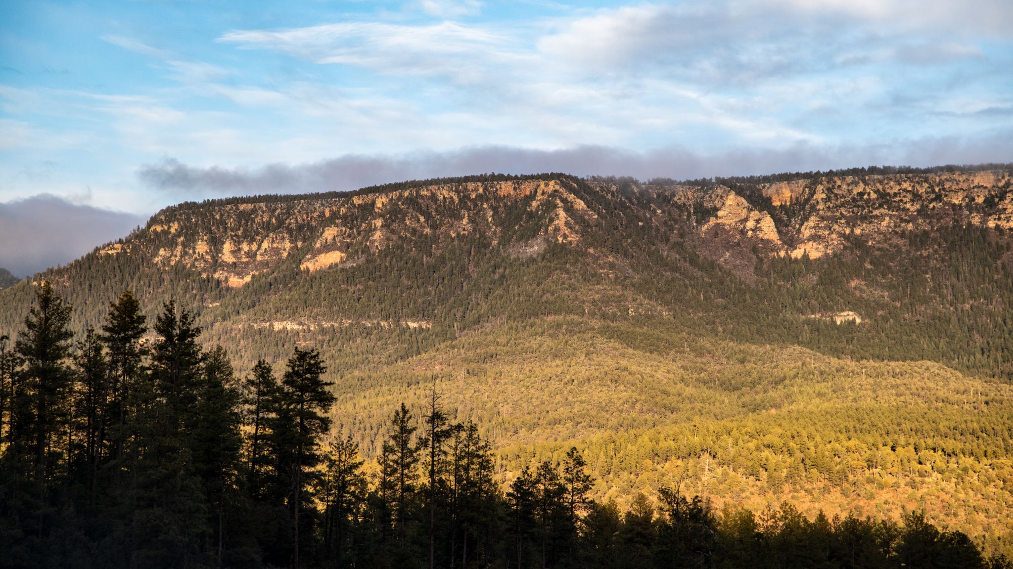
Grand Enchantment Trail — Slot canyons, spruce peaks & desert solitude
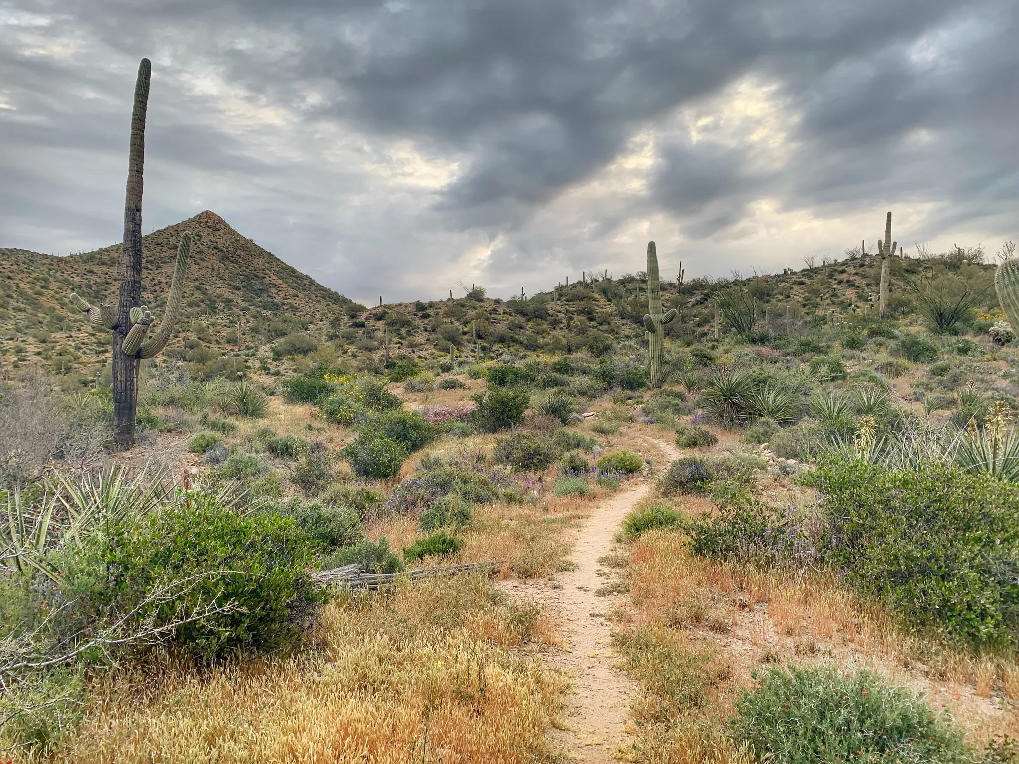
Arizona Trail — A beautiful 800-mile struggle
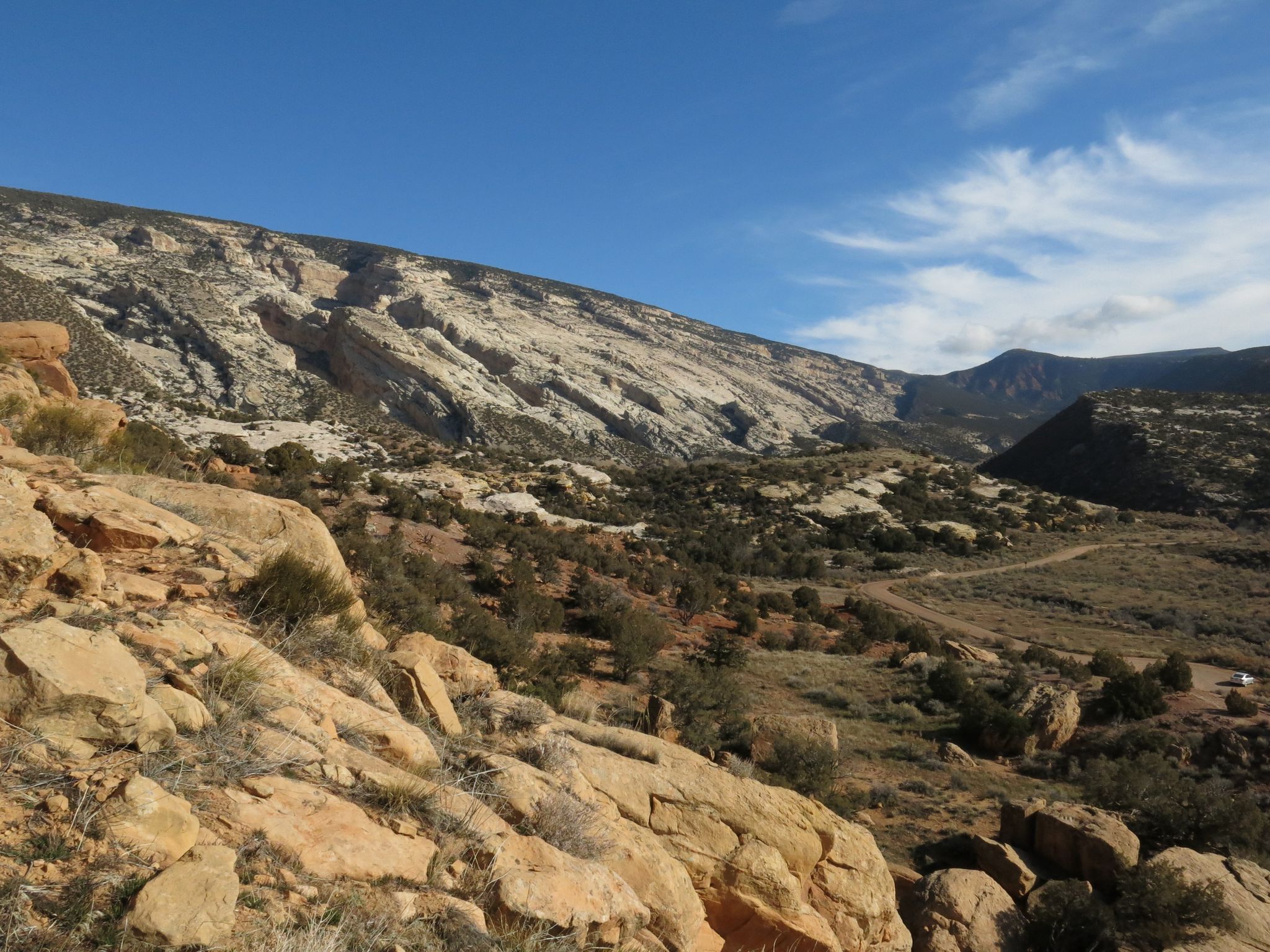
Bikepack in America's southwest – deserts, cacti and Anasazi culture
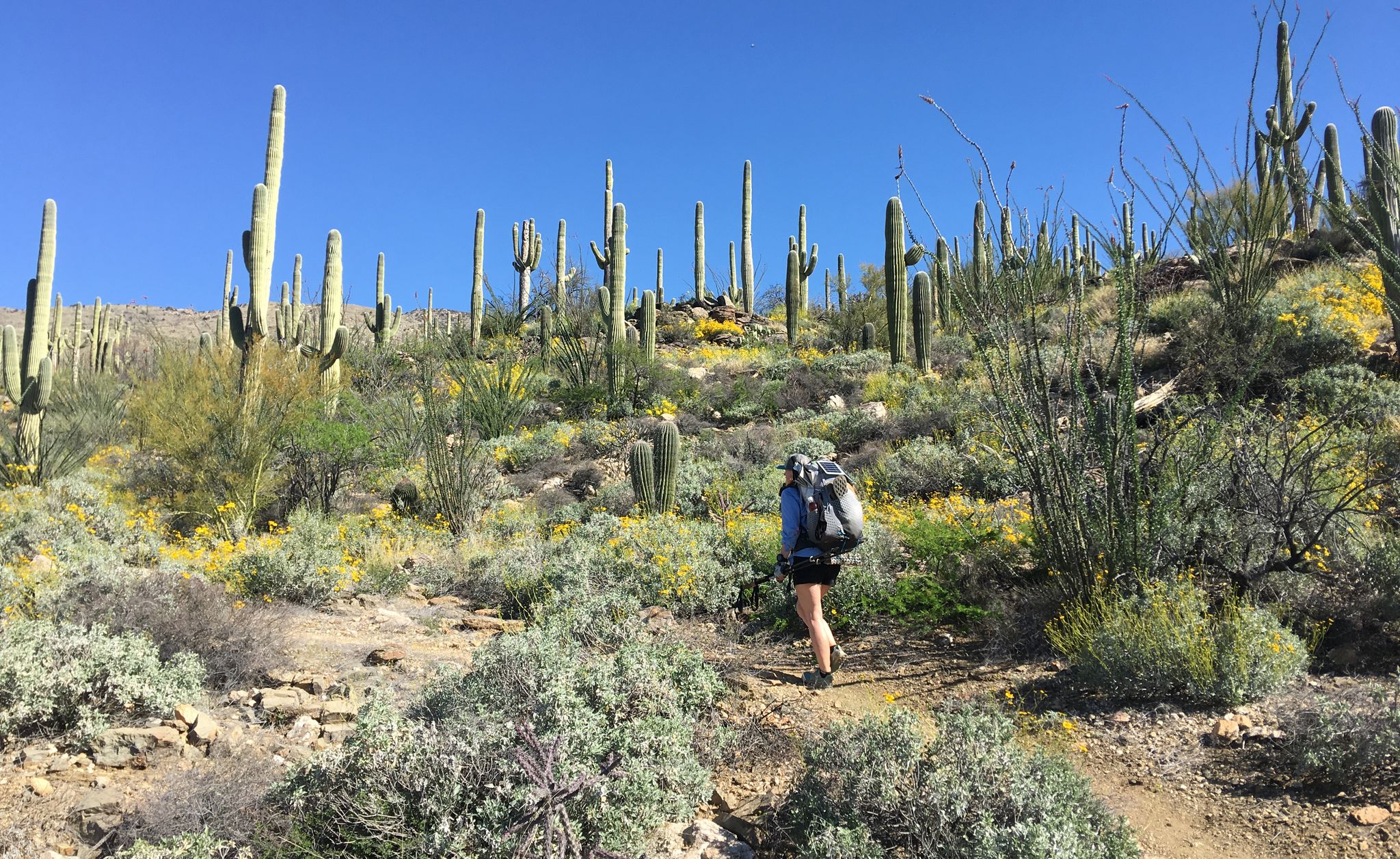
The Arizona Trail — From Mexico to Utah in 43 days
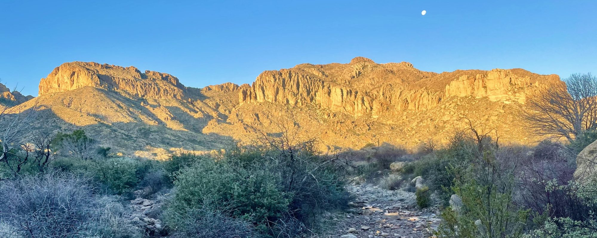
Highline National Recreation Trail – The High Road around the Mogollon Rim
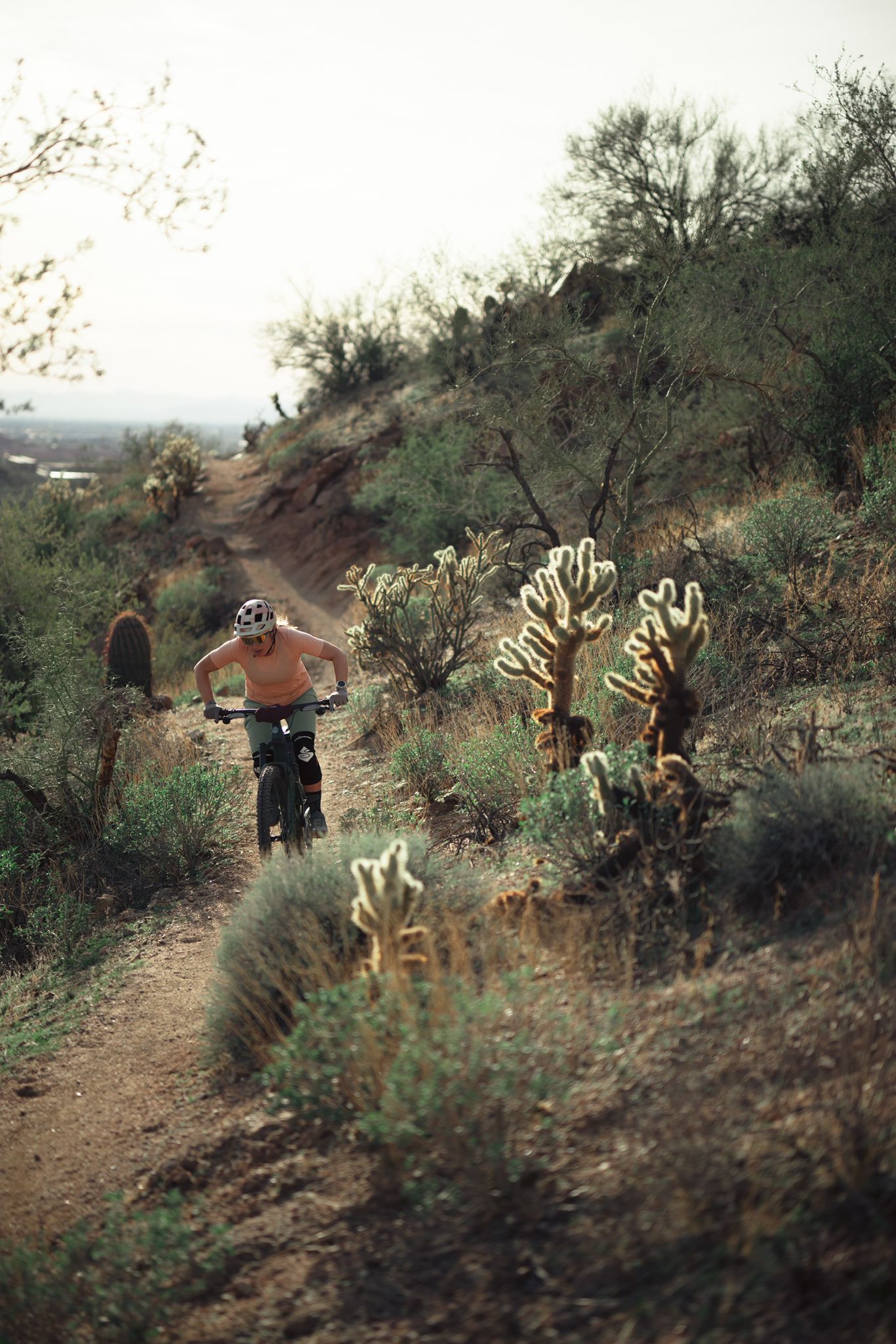
Riding the red rock desert from Phoenix, Arizona
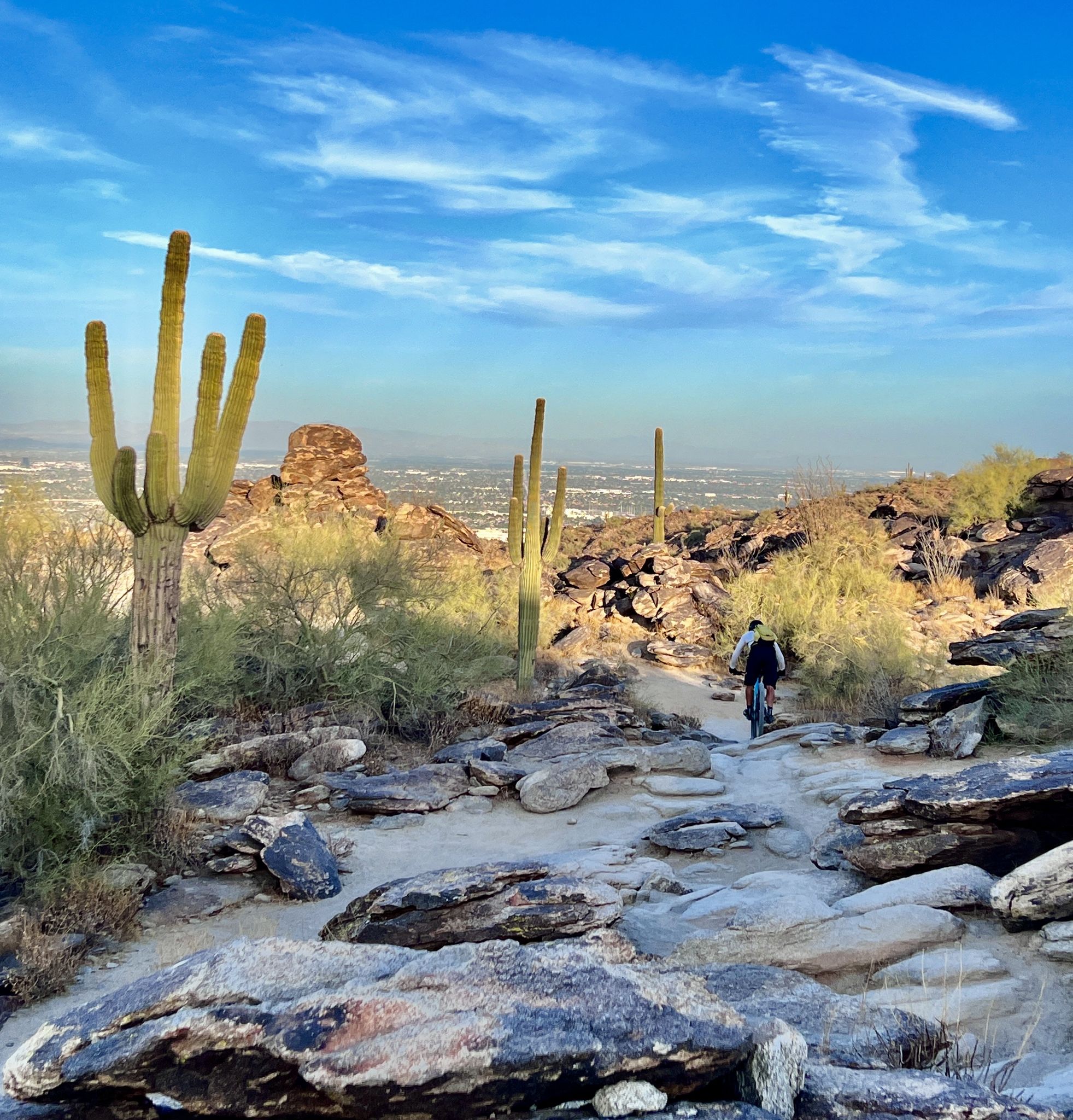
MTB in cactus country – technical delicacies around Phoenix

Traffic-free bike rides in Tonto National Forest

Traffic-free bike rides in Tonto National Forest
Other adventures in Tonto National Forest


Tips from the Community

Blevins Trail in Usery Mountain Regional Park near Mesa, Arizona, is a popular spot for gravel cycling thanks to its well-groomed, mostly flat terrain and scenic desert views. The 3.1-mile loop features crushed gravel and sand surfaces, making it ideal for beginner to intermediate riders. Cyclists can enjoy wide-open views of Pass Mountain and the Superstitions while weaving through classic Sonoran Desert landscape. The trail connects to others like Moon Rock and Cat Peaks, offering options to extend your ride. Accessible year-round, it’s best ridden in cooler months.
0
0

Freestone Pond creates a nice atmosphere within the Freestone Park area. The pond is surrounded by grassy open areas, palm trees and picnic tables. This is a man-made pond, with small falls connecting the two sections of the pond, offering a refreshing place to take a break and enjoy the facilities of the park area.
0
0

The Levee Trail follows the south side of the Pass Mountain Diversion Channel. It is a long, flat gravel ride with great views and gives the rider a feeling of the wilderness around Phoenix.
1
0
Here is a great view of Superstition Mountain. Look for the mountain's two major peaks: Superstition Peak or "Peak 5057" at an elevation of 5,059 feet (1,542 m) Flatiron Peak or "Peak 5024" at an elevation of 5,024 feet (1,531 m)
0
0

This trail offers a less crowded and well groomed experience. You may occasionally encounter mountain bikers or horseback riders, but it provides a great option to enjoy a mostly solitary ride.
0
0
Moon Rock Trail is a hiking and mountain biking trail but one of the easier gravel rides, being smooth with packed dirt, being described as "flowing easy singletrack" and tral with great scenery and round smooth "moon rocks" all around this landscape.
0
0
This area actively promotes the creation and conservation of scarce riparian (the interface between land and a river) areas. Abounding with lakes, it features paved paths and boardwalks along the waterfront, providing opportunities to observe a diverse range of wildlife.
1
0

The wetlands here area a vital resource for local wildlife & migratory birds. It's a good place to get off the bike and enjoy some quiet moments by the water.
0
0
Frequently Asked Questions
How many no-traffic gravel bike trails are available in Tonto National Forest?
Tonto National Forest offers a wide selection of routes for gravel biking, with over 18 trails specifically curated for a low-traffic experience. These routes traverse diverse landscapes, from saguaro-studded desert to pine-forested mountains.
What kind of terrain and difficulty can I expect on these gravel bike trails?
The terrain in Tonto National Forest is incredibly varied. You'll encounter everything from wider rolling desert paths with decomposed granite surfaces to more rugged, rocky sections and even sandy washes. While some trails can be steep and challenging, there are options for various skill levels. For example, the View of Red Mountain loop from Schlechts Butte offers a moderate ride with minimal elevation gain, while the Humboldt Mountain loop from Wildcat Hill presents a more difficult challenge with over 1000 meters of elevation.
What is the best time of year to go gravel biking in Tonto National Forest to avoid extreme heat?
To avoid the intense summer heat, the best time for gravel biking in Tonto National Forest is typically from late fall through early spring (October to April). During these months, temperatures are much more pleasant, especially at lower desert elevations. Higher elevations, like those near the Mogollon Rim, can offer cooler rides even into late spring.
Are there any family-friendly no-traffic gravel bike routes?
Yes, there are several routes suitable for families looking for a less strenuous ride. Trails with lower elevation gain and smoother surfaces are ideal. The Maricopa Trail in Tonto National Forest – Salt River loop from Schlechts Butte is a moderate option that offers relatively flat terrain, making it a good choice for those seeking a more relaxed experience.
Can I bring my dog on the gravel bike trails in Tonto National Forest?
Generally, dogs are welcome on trails within Tonto National Forest, provided they are kept on a leash. It's always best to check specific trail regulations before you go, as some areas or wilderness sections might have restrictions. Remember to bring plenty of water for both yourself and your dog, especially in the desert environment.
What interesting landmarks or natural features can I see along the gravel bike routes?
Tonto National Forest is rich in natural beauty and unique landmarks. Many routes offer stunning views of the Superstition Mountains, the Mogollon Rim, and the saguaro-studded Sonoran Desert. You might also encounter scenic waterways like the Salt and Verde Rivers, which feed into several lakes. Consider exploring routes that pass near Roosevelt Lake Marina & Shop or offer views of the Roosevelt Lake Bridge. The area also features ancient cliff dwellings at Tonto National Monument and the world's largest natural travertine bridge at Tonto Natural Bridge State Park.
Are there any easy, beginner-friendly no-traffic gravel bike trails?
For beginners, look for routes described as 'easy' or 'moderate' with minimal elevation changes. The Maricopa Trail in Tonto National Forest – Freestone Park loop from Schlechts Butte is a moderate option that offers a relatively gentle introduction to gravel biking in the area, with manageable distances and elevation.
Do I need a permit or pay any fees to gravel bike in Tonto National Forest?
While many areas within Tonto National Forest are free to access for non-motorized recreation, some specific recreation sites, trailheads, or developed areas may require a Tonto Pass or other day-use fees. It's advisable to check the official Tonto National Forest website or local ranger district for the most current information regarding permits and fees for the specific area you plan to visit.
Where can I find parking for these gravel bike trails?
Parking is generally available at designated trailheads and recreation areas throughout Tonto National Forest. For routes like the Levee Trail – County Line Trail loop, you can typically find parking at Usery Mountain Regional Park. Always ensure you park in designated spots and be aware of any posted parking fees or restrictions.
What do other gravel bikers enjoy most about Tonto National Forest?
The komoot community highly rates gravel biking in Tonto National Forest, with an average score of 4.75 stars. Reviewers frequently praise the stunning desert vistas, the dramatic transition to pine forests at higher elevations, and the sense of solitude found on the low-traffic routes. The diverse terrain and opportunities to explore unique geological features and waterways are also often highlighted.
Are there any loop trails for gravel biking in Tonto National Forest?
Yes, many of the no-traffic gravel bike routes in Tonto National Forest are designed as loops, offering a continuous and varied riding experience without retracing your steps. Examples include the View of Red Mountain loop from Schlechts Butte and the Humboldt Mountain loop from Wildcat Hill, allowing you to start and end at the same point.
Most popular routes in Tonto National Forest
Most popular attractions in Tonto National Forest

Get inspired with the komoot mobile app


